|
|
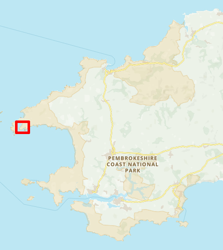
Walk 24 - Porth Clais to Whitesands - 30th May 2023 |
|||
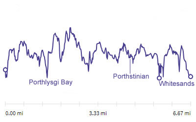
Distance |
6.7 miles |
 |
|
Time |
4.5 hrs |
||
Lowest Point |
Sea Level ft |
||
Highest Point |
150 ft |
||
Total Ascent |
1035 ft |
||
Walkers |
A E N |
||
 |
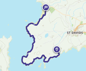
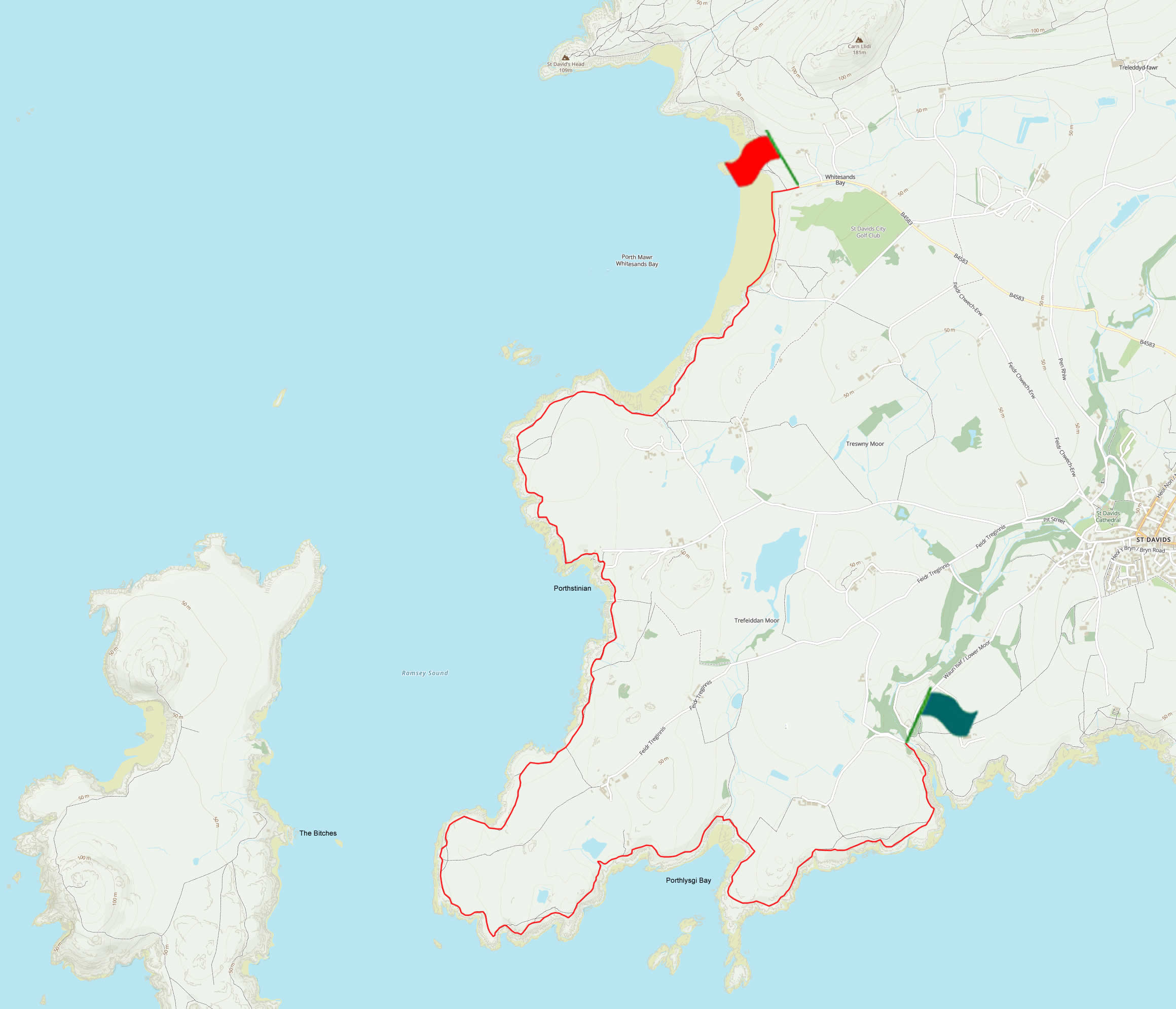
Mini Route Map Go to start on OS map
Go to start on Google
|
 |
|
|---|---|---|---|
 |
||
|---|---|---|
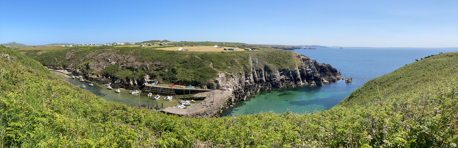
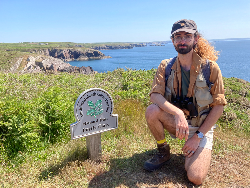
| 11.49 Leaving Porth Clais after being dropped off by the faithful driver. |
 |
||
|---|---|---|
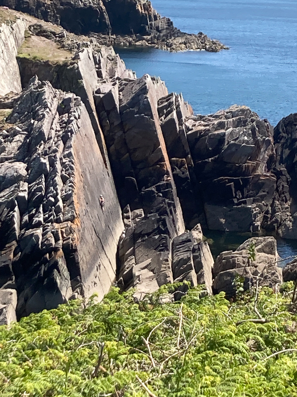
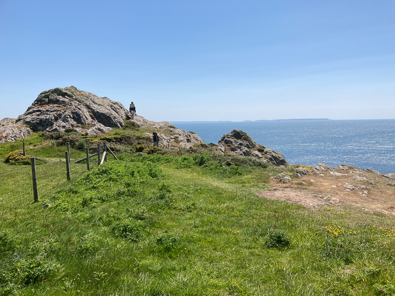
| 11.53 Climbers on the rocks opposite. | ||
 |
||
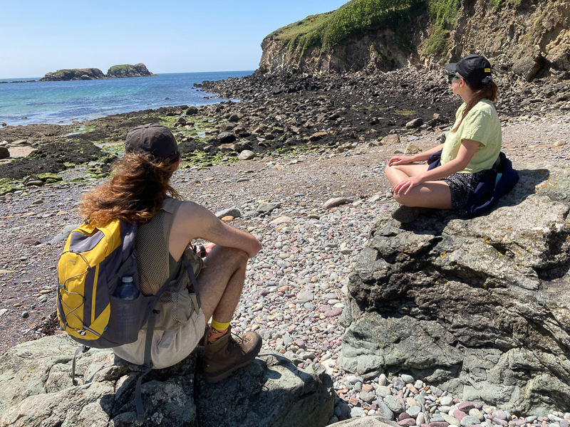
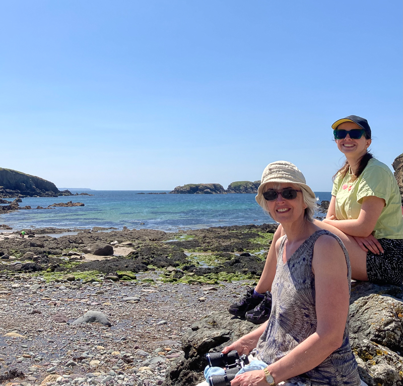
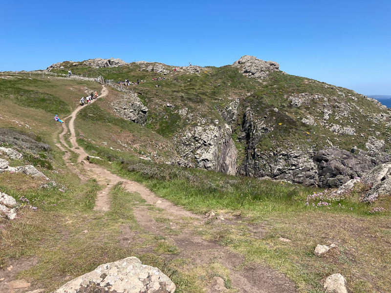
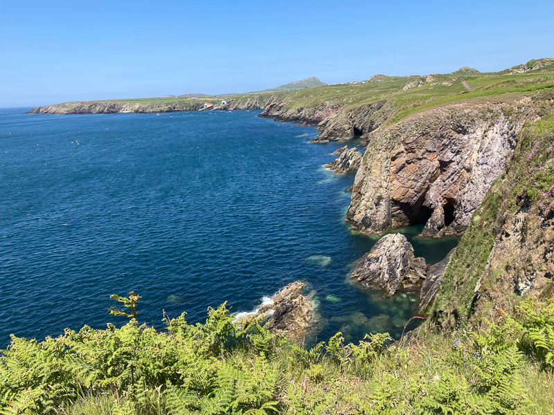
| 11.57 |
 |
||
|---|---|---|
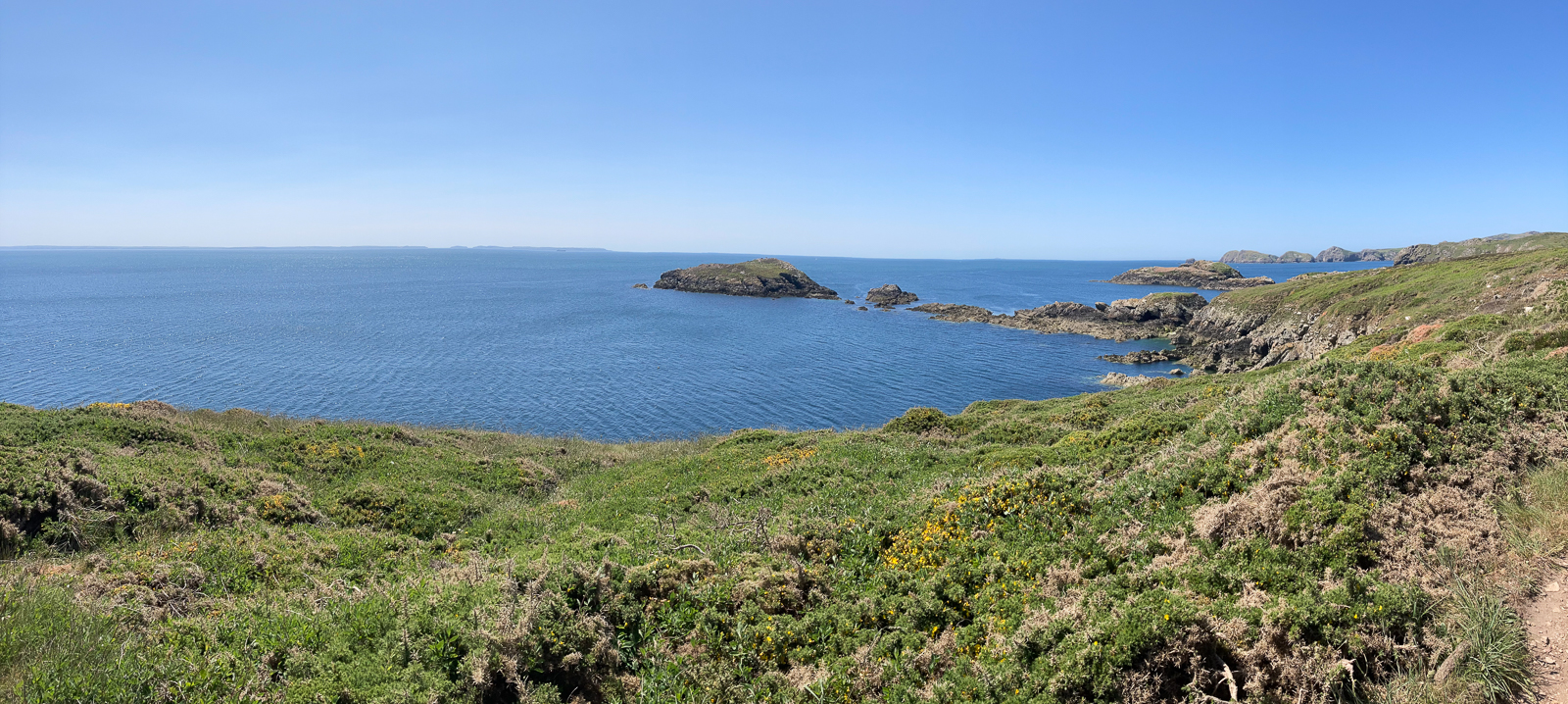
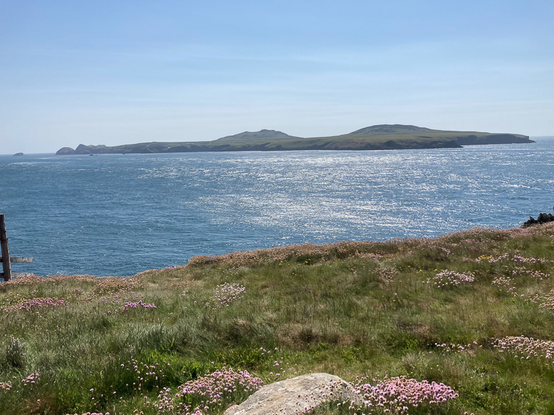
| 12.17 Skomer in the distance. |
 |
||
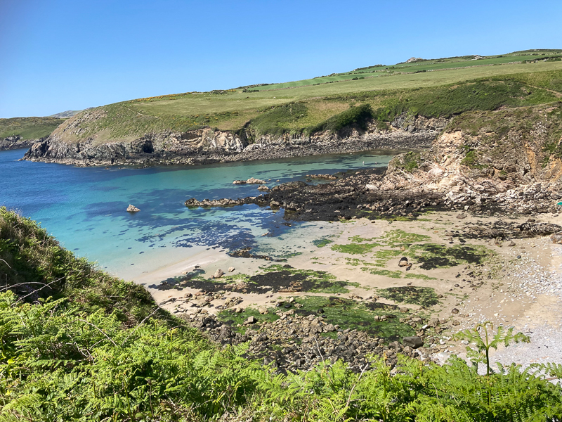
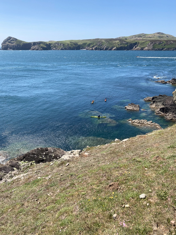
| 12.27 Porthlysgi Bay |
 |
||
|---|---|---|
| 12.36 | ||
 |
||
| 12.38 |
 |
||
|---|---|---|
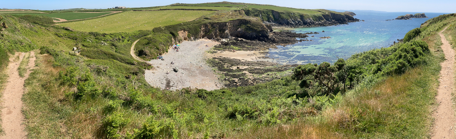
| 12.46 Leaving Porthlysgi Bay |
 |
||
| 12.55 Porth Henllys | ||
 |
||
| 13.15 Pan Pedol | ||
 |
||
| 13.48 |
 |
||
|---|---|---|
| 13.54 |
 |
||
|---|---|---|
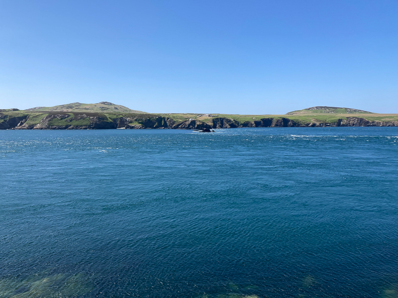
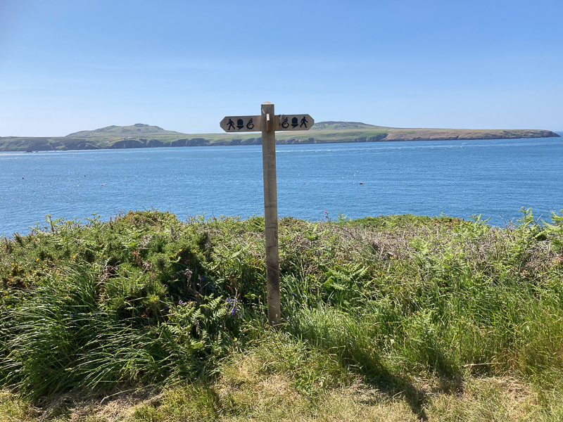
| 13.59 Looking acros Ramsey Sound to Ramsey island. In the centre is the landing point and the associated buildings. The rocks in the water front of this are 'The Bitches'. Notice the rough water in the centre of the sound. |
 |
||
|---|---|---|
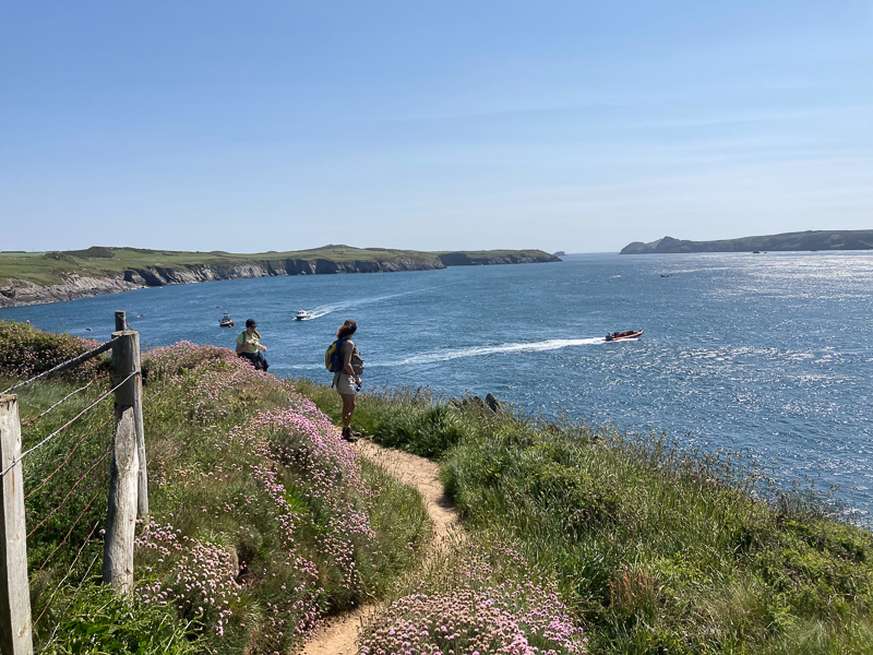
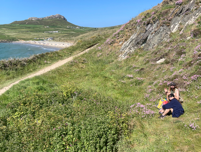
| 14.27 Carn Llidi comes into sight in the distance. |
 |
||
|---|---|---|
14.36 Ramsey Island. |
 |
||
|---|---|---|
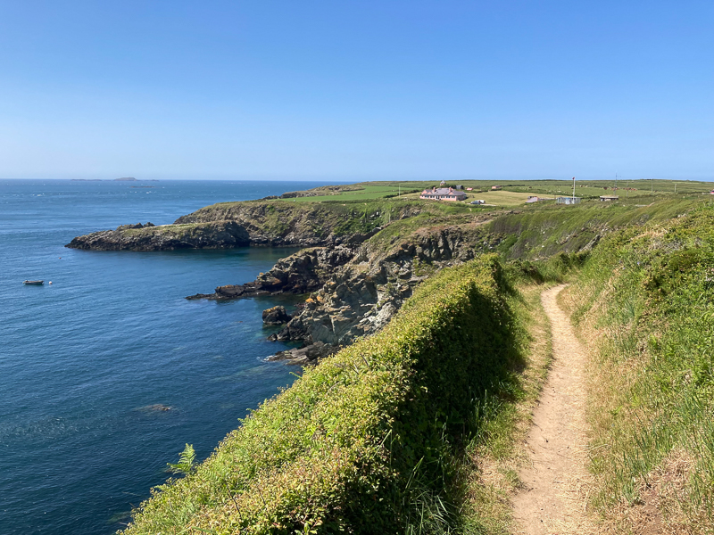
14.44 Approaching Porthstinian |
 |
||
|---|---|---|
| 15.26 After Porthstinian |
 |
||
|---|---|---|
| 15.38 Ramsey Island |
 |
||
|---|---|---|
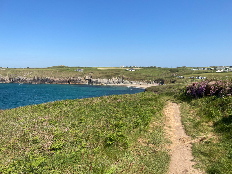
| 15.49 Approaching Whitesands |
 |
||
|---|---|---|
| 16.11 Whitesands and Carn Llidi |
 |
|---|

