|
|
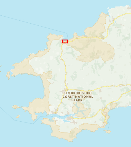
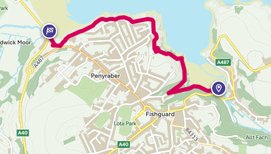
Walk 27 - Fishguard Lower Town to Goodwick - 30th May 2024 |
|||
Distance |
1.4 miles |
 |
|
Time |
30 mins |
||
Lowest Point |
Sea Level |
||
Highest Point |
162 ft |
||
Total Ascent |
224 ft |
||
Walkers |
A |
||
 |
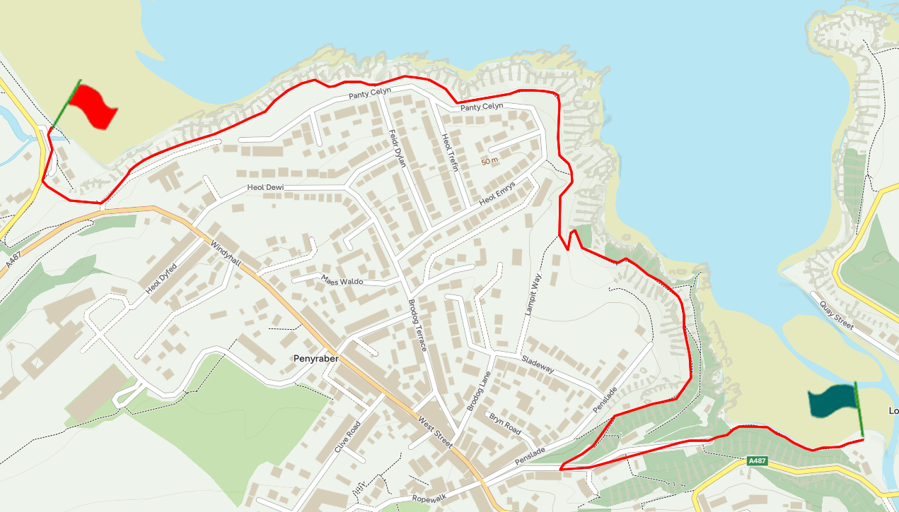
Mini Route Map Go to start on OS map
Go to start on Google
|
 |
|
|---|---|---|---|
 |
||
|---|---|---|
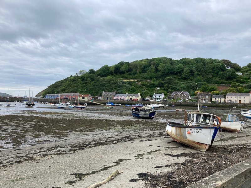
| 17.58 Leaving the harbour at Fishguard Lower Town. |
 |
||
|---|---|---|
| 17.59 Fishguard Lower Town Harbour. |
 |
||
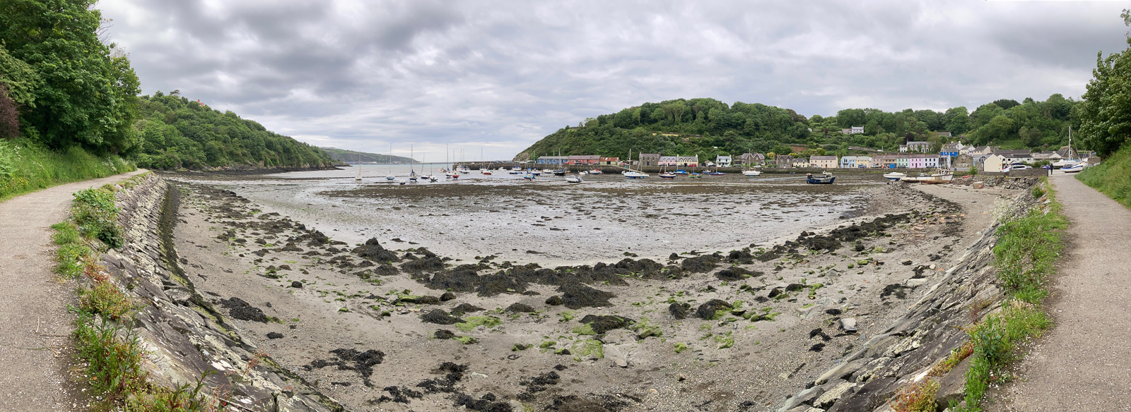
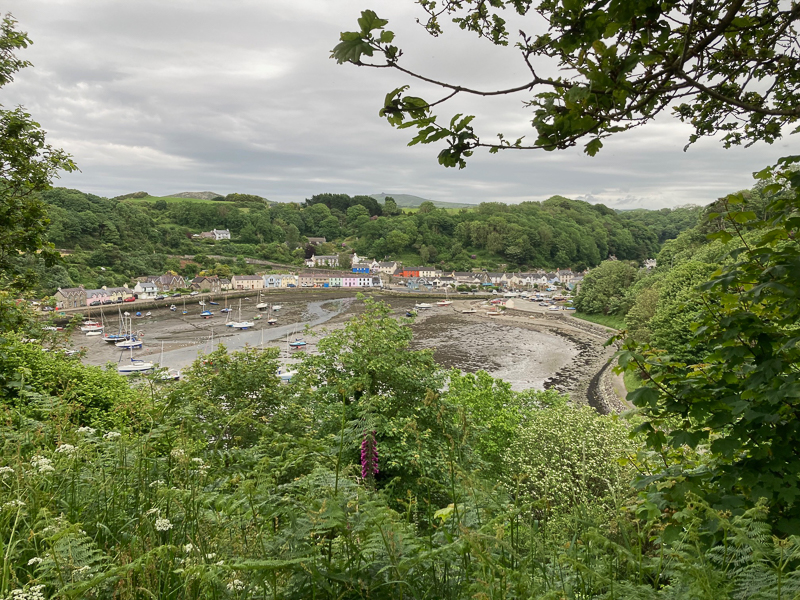
| 18.11 Looking down on the harbour from the path |
 |
||
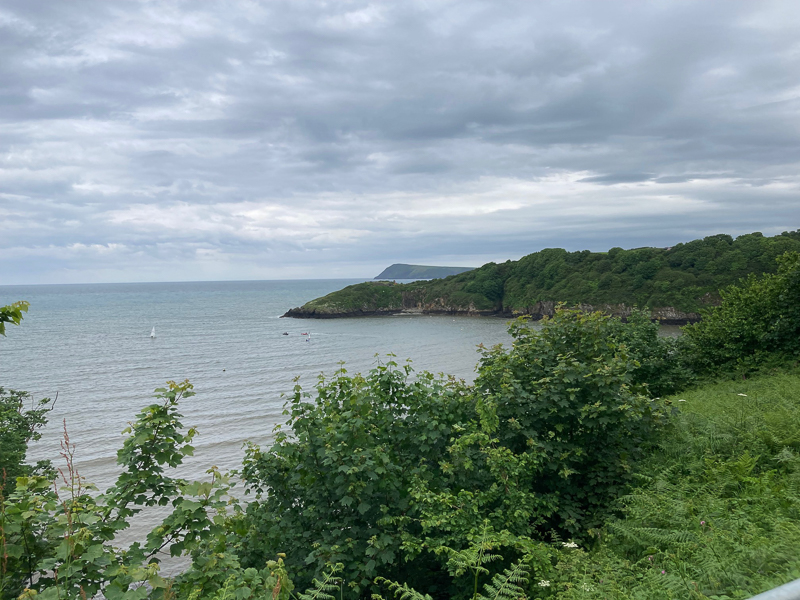
| 18.15 Dinas Head comes into view. |
 |
||
|---|---|---|
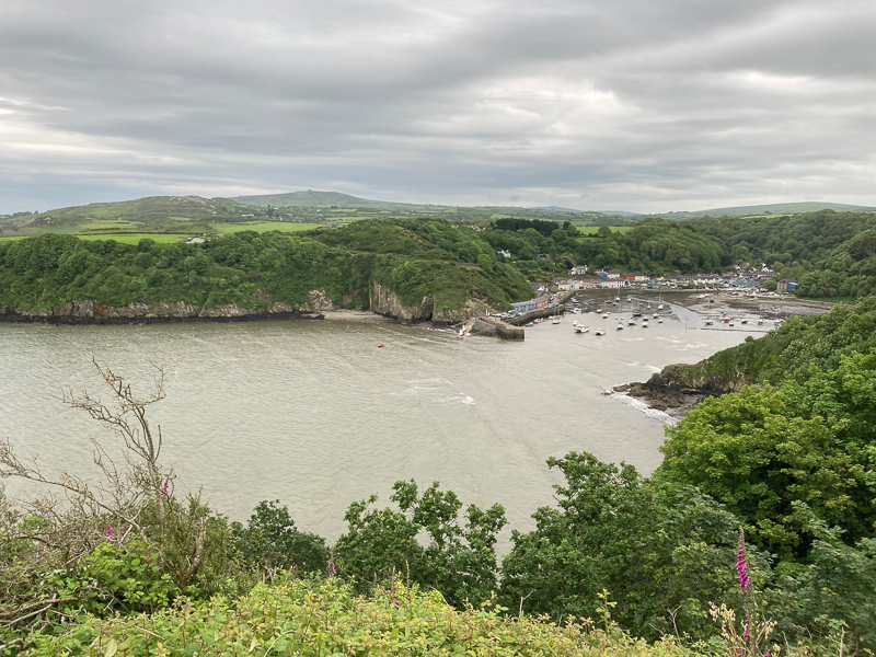
| 18.18 Looking back at the harbour | ||
 |
||
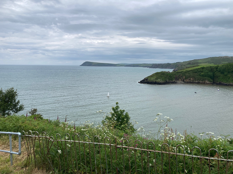
| 18.20 Dinas Head and Castle Point |
 |
||
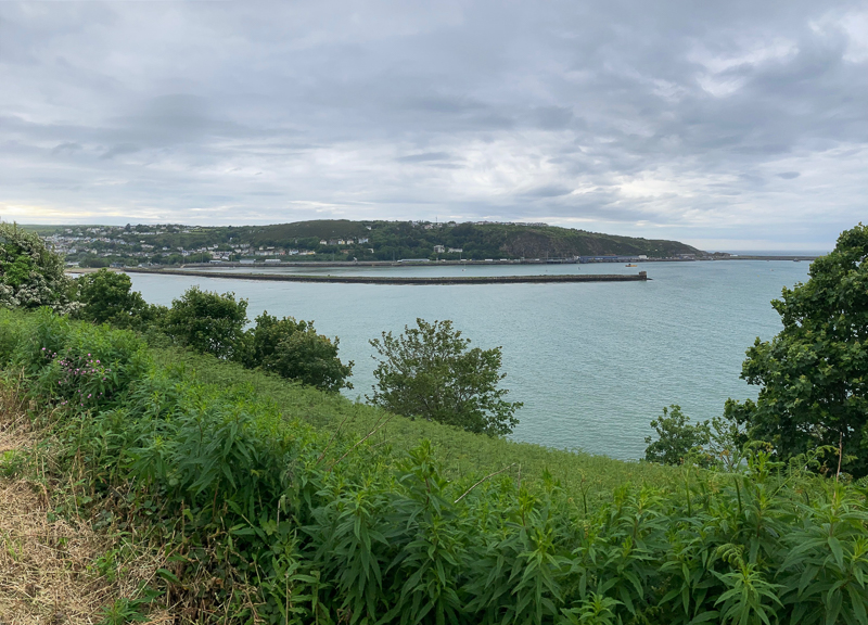
| 18.23 Fishguard Sea Wall and Ferry Port |
 |
|---|

