|
|
Walk 29 - Amroth to Tenby - 25th May 2025 |
|||
Distance |
6.8 miles |
 |
|
Time |
6.5 hrs |
||
Lowest Point |
Sea Level |
||
Highest Point |
302 ft |
||
Total Ascent |
1831 ft |
||
Walkers |
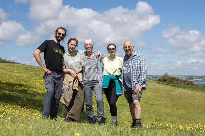
A E N M |
||
 |
Mini Route Map Go to start on OS map
Go to start on Google
|
 |
|
|---|---|---|---|
 |
||
|---|---|---|
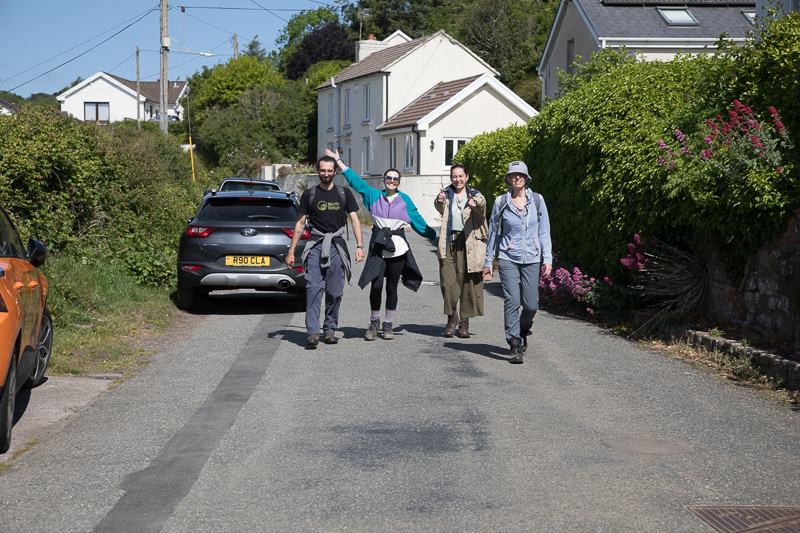
10.35 Coming down the road from the house - it all started so well. A day of separations and missed meetings was to follow. |
||
 |
||
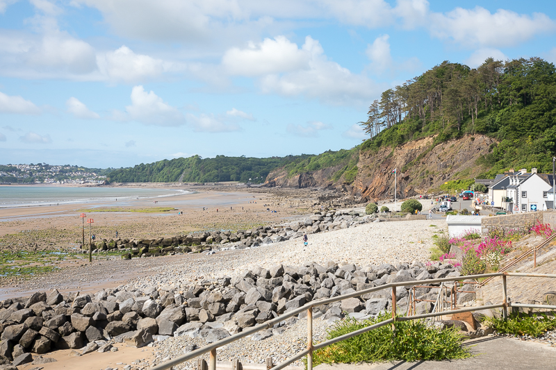
| 10.41 Amroth beachfront |
 |
||
|---|---|---|
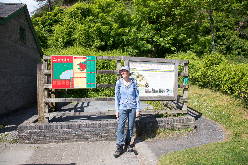
| 10.48 The start of the path but not the official end of the Pembrokeshire Coastal Path ...... | ||
 |
||
| ..... which is at the other side of Amroth. Anna and Mia visited it a couple of days later. |
 |
||
|---|---|---|
| 11.21 |
 |
||
|---|---|---|
| 11.47 Kids took the beach route but Anna took the proper path which included this tunnel approaching Saundersfoot. | ||
 |
||
| 1 ?? Saundersfoot |
 |
||
| 12.10 Saundersfoot | ||
 |
||
| 12.23 Saundersfoot | ||
 |
||
| 12.23 People get found when ice creams are available. |
|
||
|---|---|---|
| 12.59 Leaving Saundersfoot |
 |
||
|---|---|---|
| 13.11 Walking up through the woods |
 |
||
|---|---|---|
| 13.09 Dad walking the other way from Trevayne to meet them. |
 |
||
|---|---|---|
| 13.25 Spotting them through the trees. |

|
||
|---|---|---|
| 12.57 The beautiful meadow below Trevayne Farm. After this dad walked back along the path eventually meeting the others after half an hour and then returning here. |
 |
||
|---|---|---|
| 14.09 |
 |
||
|---|---|---|
14.09 |
 |
||
|---|---|---|
14.20 |
 |
||
|---|---|---|
14.41 Leaving Trevayne and continuing to Tenby. |
 |
 |
|
|---|---|---|
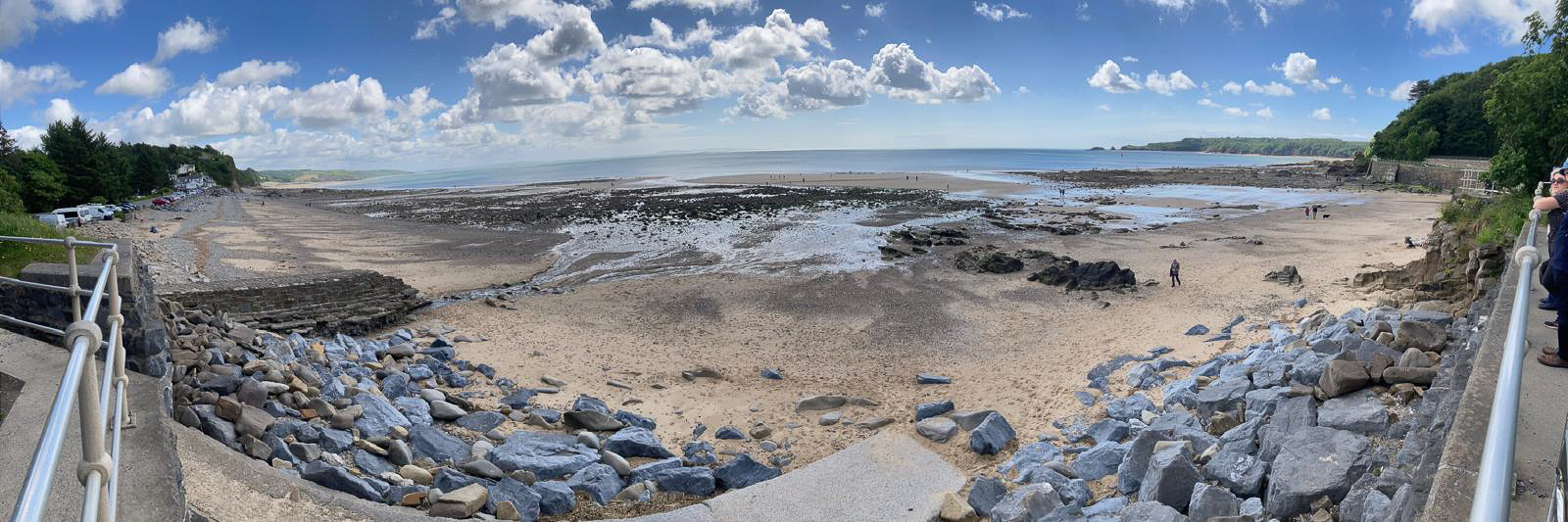
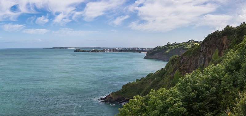
16.00 Tenby in the distance. |
17.17 A view from the same place but taken by dad much later after they missed each other on the path. |
 |
||
|---|---|---|
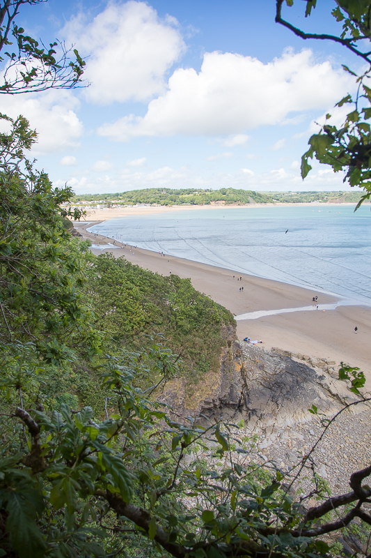
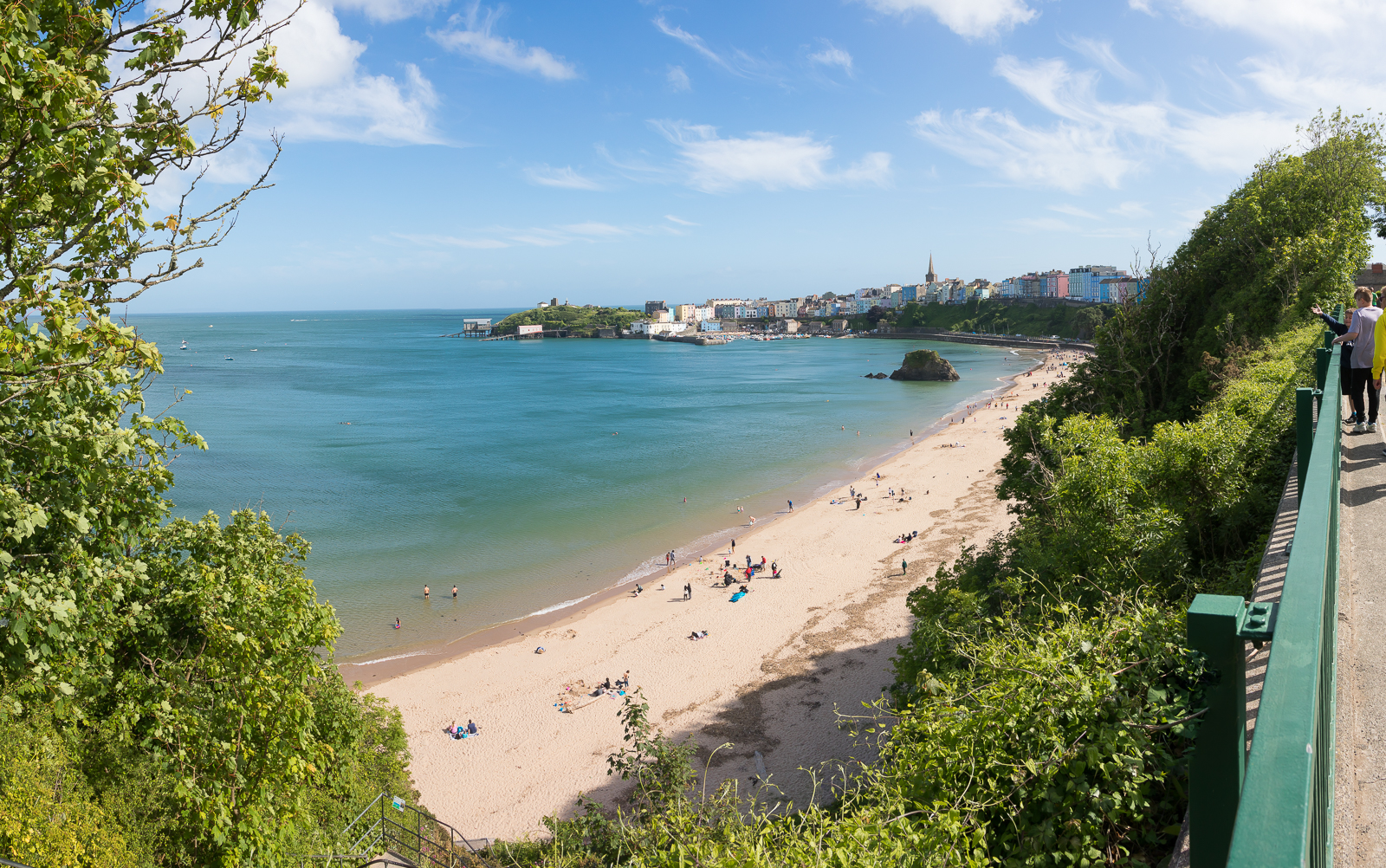
| 15.26 Another view of Tenby from a meadow that has phone reception. This is where Dad was hours later when he got a phone call from Ela who was by then in Tenby. |
 |
||
|---|---|---|
| 16.34 The main group is sitting in a little garden viewpoint off to the side of the main path. This little diversion meant that we accidentally crossed over as dad walked backwards from Tenby trying to meet up. |
 |
 |
|
|---|---|---|
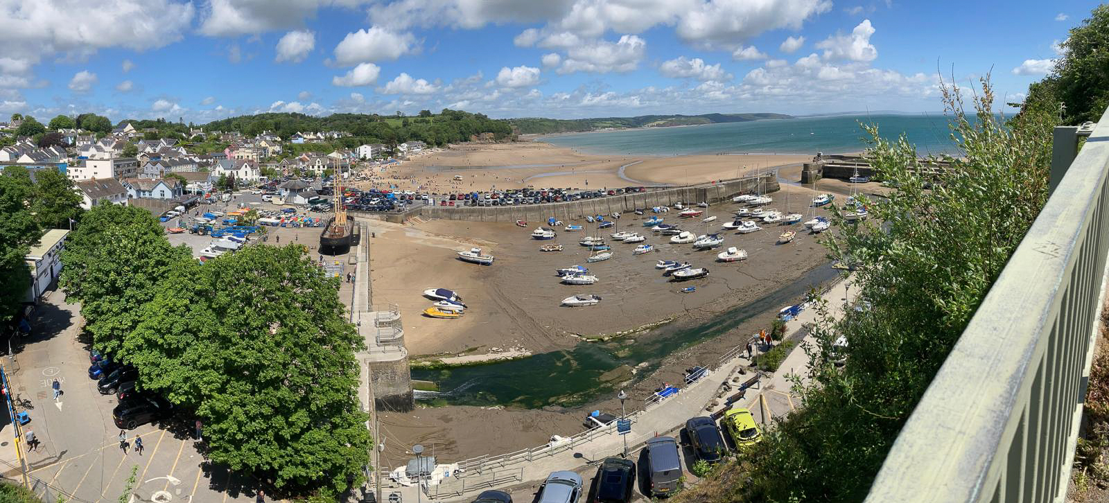
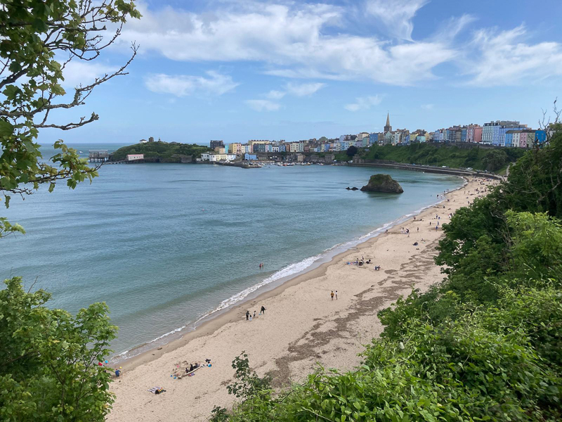
| 16.31 Tenby taken by Dad and half an later by mum. This was the start of dad's walk to meet the group. This was also where mum got separated from the main group and further down the road was eventually found sat on a bench by herself with no phone charge. |
 |
|---|

