|
|
Walk 99 - Sallows & Sour Howes - 18th March 2026 |
||||
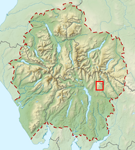
Wainwright's Walking Guide to the Lake District Fells - Book 2 The Far Eastern Fells |
||||
Sallows 1693 ft |
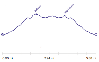 |
Distance |
5.9 miles |
|
Time |
4 hrs |
|||
Lowest Point |
560 ft |
|||
Highest Point |
1693 ft |
|||
Total Ascent |
1580 ft |
|||
Walk Rating - moderate |
||||
 |
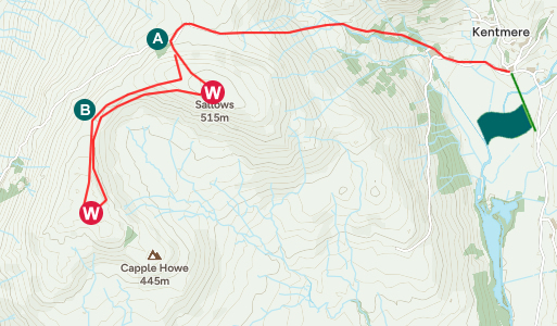
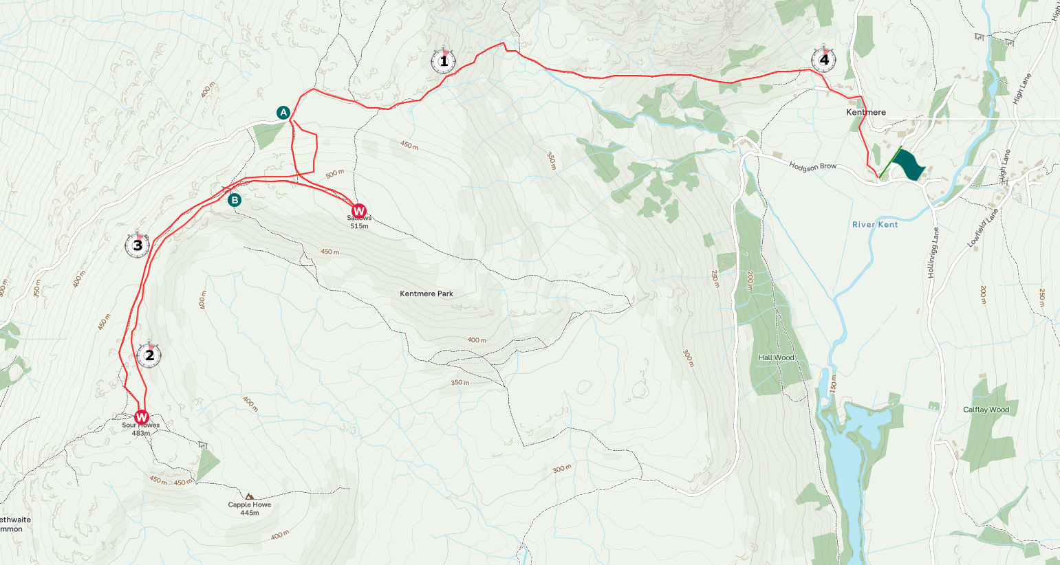
Mini Route Map Go to walk start
|
 |
|---|
| Route Description | |
A fairly straightforward walk for two Wainwrights from Kentmere where the biggest obstacle of the day is getting a parking space. The route goes up the Garburn Road pass road which is a solid path but rather rocky in places. Just past the top of the pass after a gate |
|
 |
||
|---|---|---|
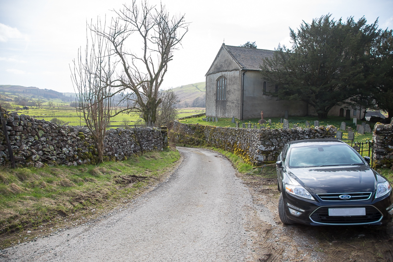
| 13.27 After the drive up from Bedford I headed straight for Kentmere. The institute spaces were predictably full but a local man came down from his house and told me about this little spot just on the other side of the church. | ||
 |
||
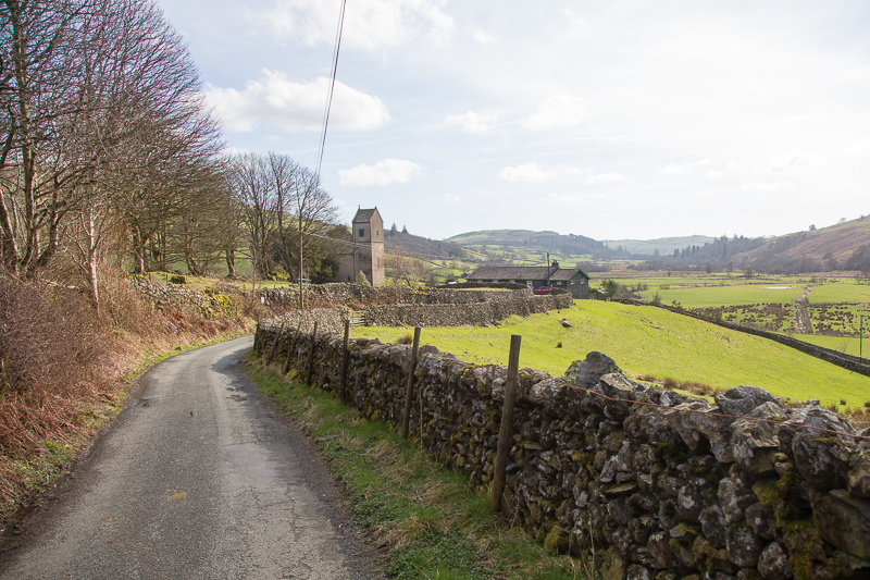
| 13.31 Looking back at the church and institute as I start up the lane. |
 |
||
|---|---|---|
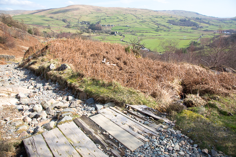
| 13.49 The path is solid if a little rocky in places. | ||
 |
||
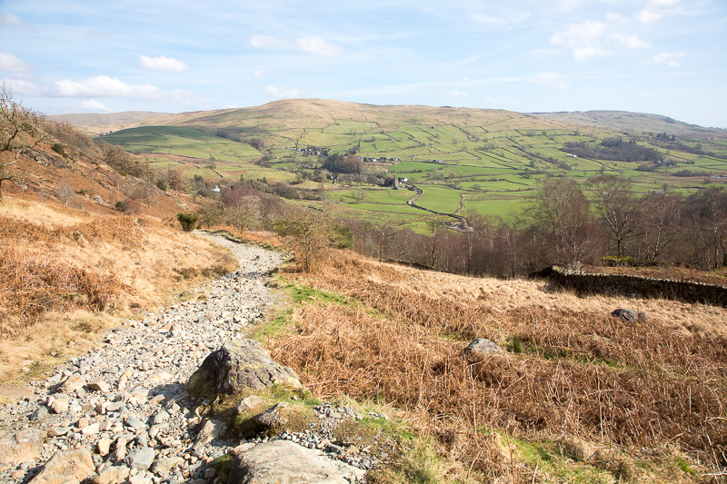
| 13.51 I was passed by several mountain bikers on this part of the walk. |
 |
||
|---|---|---|
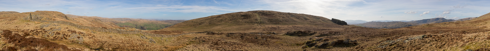
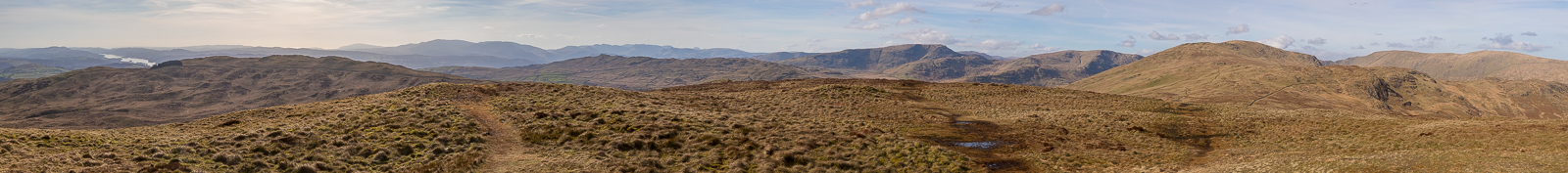
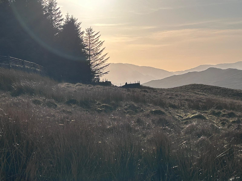
| 14.58 Panorama 1201 At the top of the Garburn Pass. It was at this point that the camera started messing around - giving a lengthy processing pause after each picture. I fiddled with it on the fell for twenty minutes before giving up and having to put up with it for the rest of the walk. I eventually cleared some settings to solve it that evening. |
 |
||
|---|---|---|
| 15.15 Looking over to Red Screes as I near the top of Sallows. |
 |
||
|---|---|---|
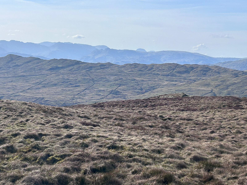
| 15.16 Great End and Great Gable behind the Langdales. Wansfell in the foreground. |
|
||
|---|---|---|
| 15.18 Panorama 1202 On the Sallows summit. I made one error shortly after this. As I crossed over to Sour Howes I walked on the left side of the wall after the gate. This was a bad choice and I soon climbed over the wall to correct it. |

|
||
|---|---|---|
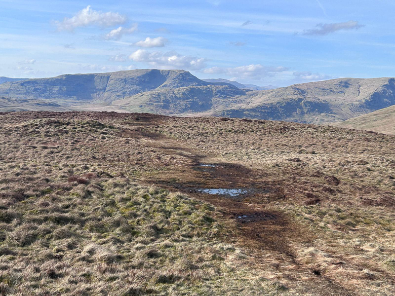
| 16.03 Panorama 1203 In the Sour Howes summit area and a fair bit of headscratching to try to work out which is the actual summit. There were several contenders. I thought it would be easier in the better visibility, compared to the last visit, but it really wasn't. In the after much app consultation and talking to another walker we settled on the rather insignificant point to the right of the puddle in this picture. |
 |
||
|---|---|---|
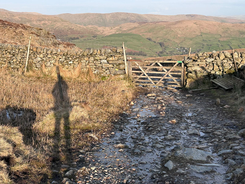
| 17.00 Back at the stile and gate on the Garburn Pass road. | ||
 |
||
| 14.25 | ||
 |
||
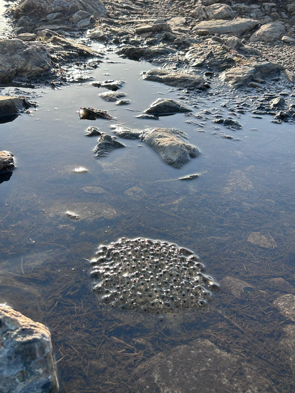
| 17:02 Lots of frog spawn on the road. This was one of about 10 clumps. |
 |
||
|---|---|---|
| 17.07 Heading down towards Kentmere on the return. The road ends here and turns back to path. |
|
|
 |
|---|