|
|
Walk 1 - Dinas Head - 6th June 2012 |
|||
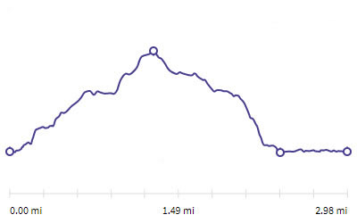
Distance |
3 miles |
 |
|
Time |
2.5 hrs |
||
Lowest Point |
14 ftl |
||
Highest Point |
464 ft |
||
Total Ascent |
507 ft |
||
Walkers |
A T E N M |
||
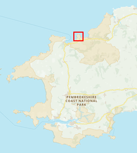 |
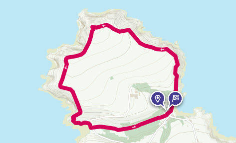
Mini Route Map Go to start on OS map
Go to start on Google
|
 |
|
|---|---|---|---|
 |
||
|---|---|---|
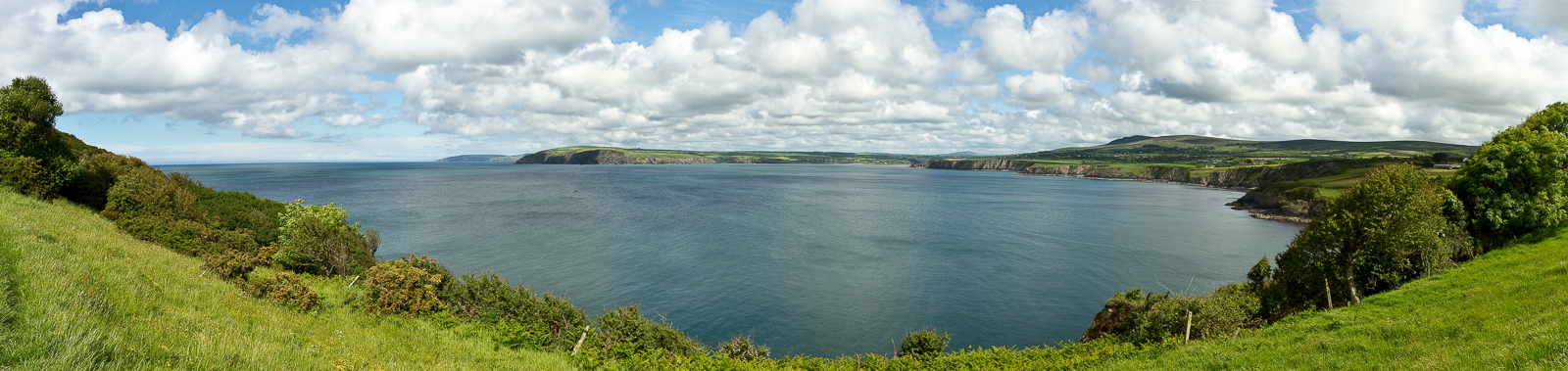
| 16.02 Panorama 34 On the path on the north side of Dinas Head. |
 |
||
|---|---|---|
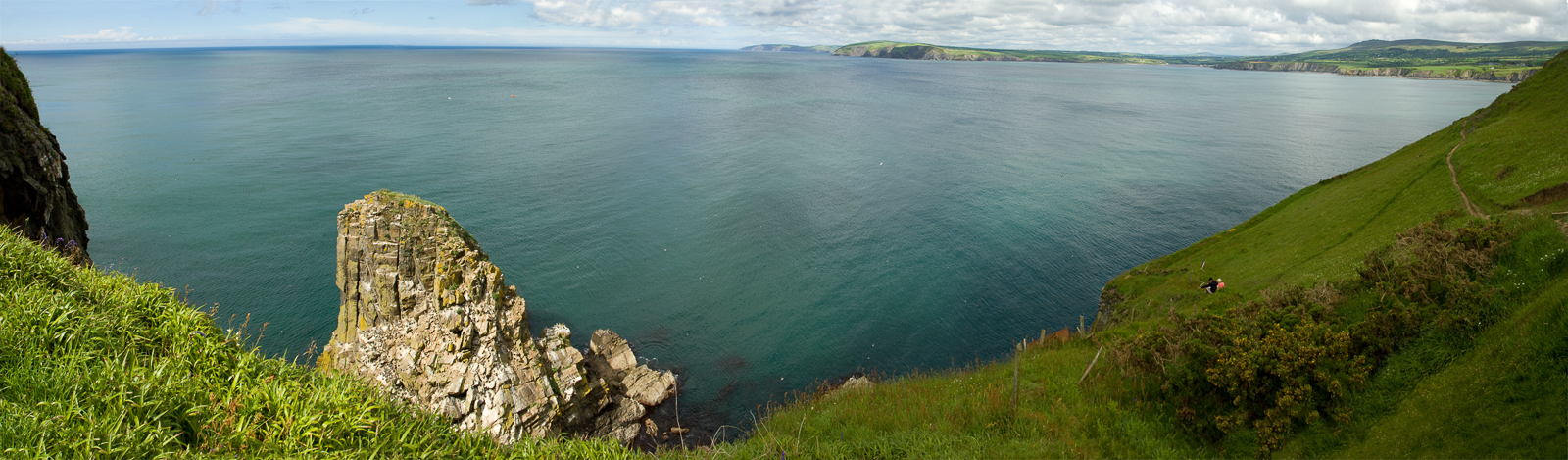
| 16.25 Panorama 35 Passing above Needle Rock. |
 |
||
|---|---|---|
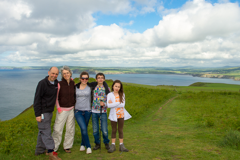
| 17.29 At the top of Dinas Head. |
 |
||
|---|---|---|
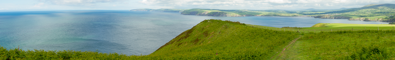
| 17.34 Panorama 36 Near the summit looking south. |
 |
||
|---|---|---|
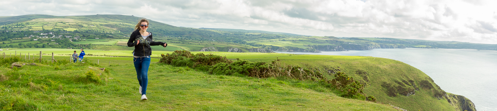
| 17.34 Near the summit looking north. |
 |
||
|---|---|---|
| 17.49 Looking south. | ||
 |
||
| 17.53 Looking down into Pwllgwaelod Bay. |
 |
|---|

