|
|
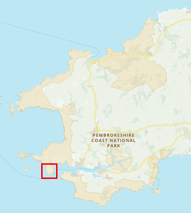
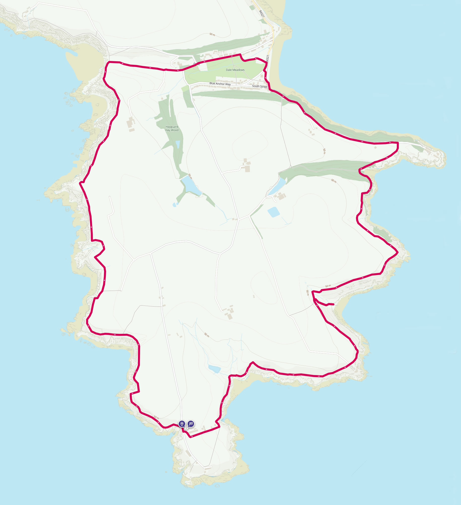
Walk 2 - Around Dale Peninsula - 26th May 2013 |
|||
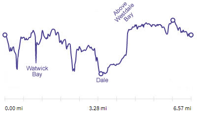
Distance |
7.8 miles |
 |
|
Time |
6 hrs |
||
Lowest Point |
Sea level |
||
Highest Point |
365 ft |
||
Total Ascent |
1684 ft |
||
Walkers |
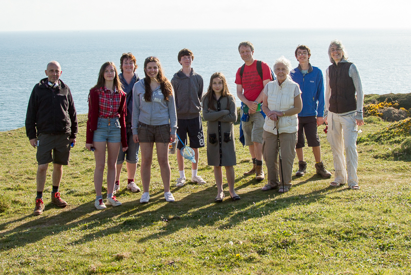
A T E N M G M C A T |
||
 |
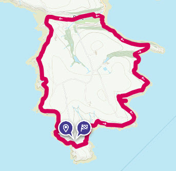
Mini Route Map Go to start on OS map
Go to start on Google
|
 |
|
|---|---|---|---|
 |
||
|---|---|---|
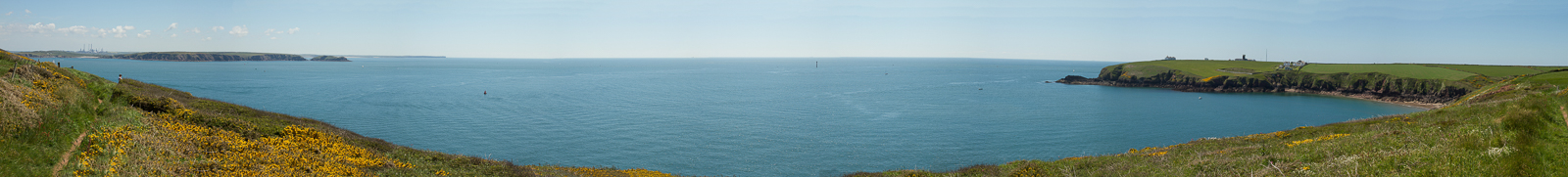
| 12.45 Panorama 43 Looking south-west towards St Ann's Head as we start a walk around the headland. |
 |
||
|---|---|---|
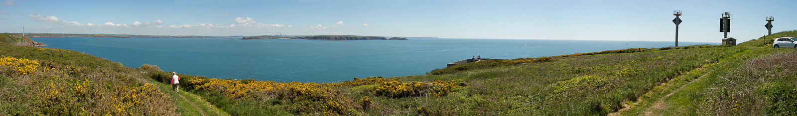
| 12.55 Panorama 44 A few minutes later with the peninsula around Angle in view to the east. |
 |
||
|---|---|---|
| 13.12 Panorama 45 Passing West Blockhouse. |
 |
||
|---|---|---|
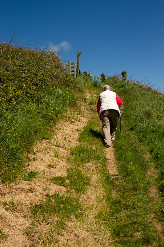
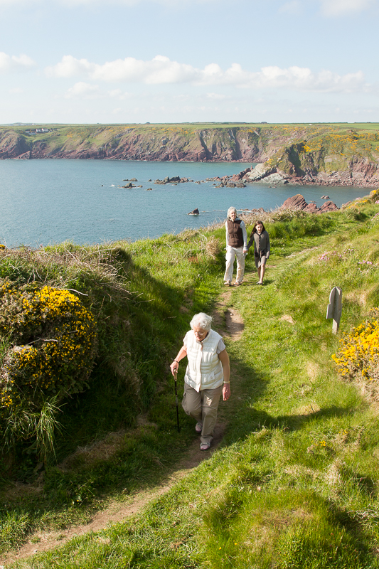
| 13.39 A steeper part of the path. | ||
 |
||
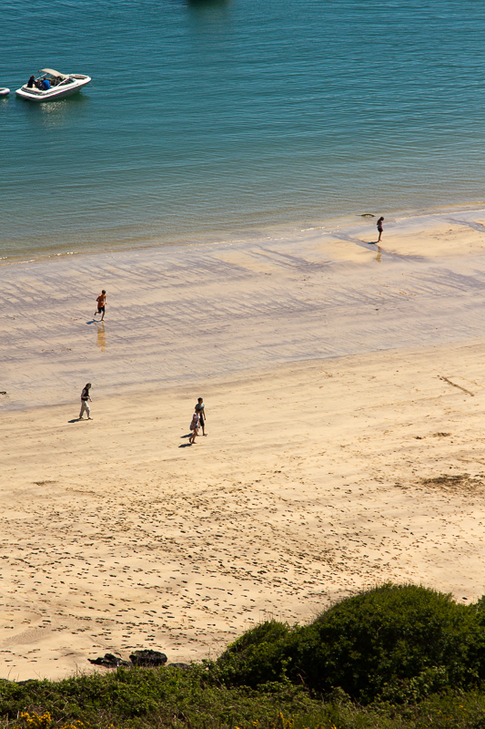
| 13.47 A quick visit to the beach at Watwick Bay. | ||
 |
||
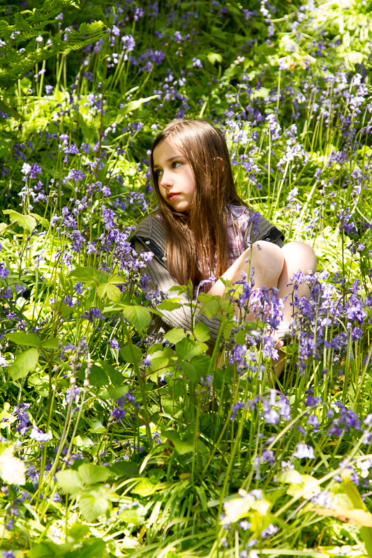
| 14.41 Bluebells on the side of the path. | ||
 |
||
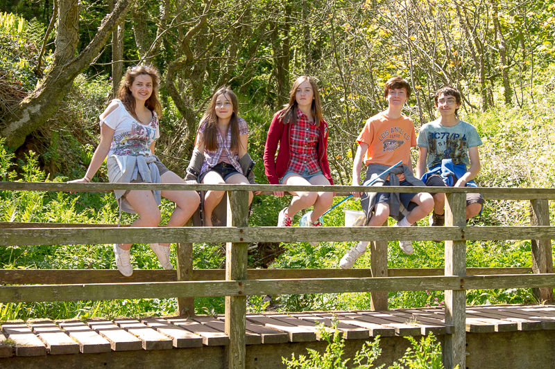
| 14.43 Perched young people. |
 |
||
|---|---|---|
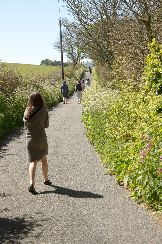
| 14.58 On the small road near Dale Point. | ||
 |
||
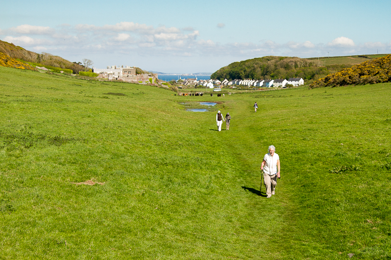
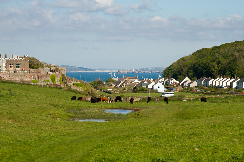
| 16.59 Passing through a field of cows after a brief stop in Dale. | ||
 |
||
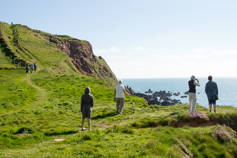
| 17.01 Reaching the west coast at Westdale Bay. | ||
 |
||
| 17.02 Skokholm Island from Westdale Bay. | ||
 |
||
| 17.03 Looking back at Dale Castle and Dale. |
 |
||
|---|---|---|
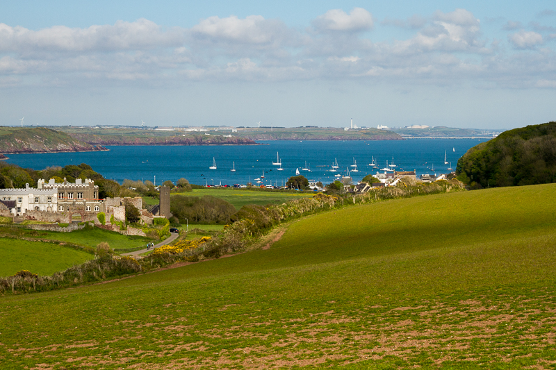
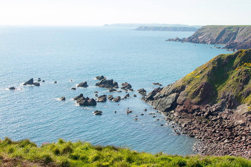
| 17.10 Higher up the hill shows more of the the bay known as Dale Roads with Milford Haven in the distance. |
 |
||
|---|---|---|
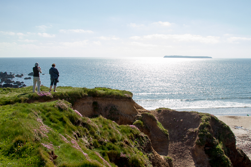
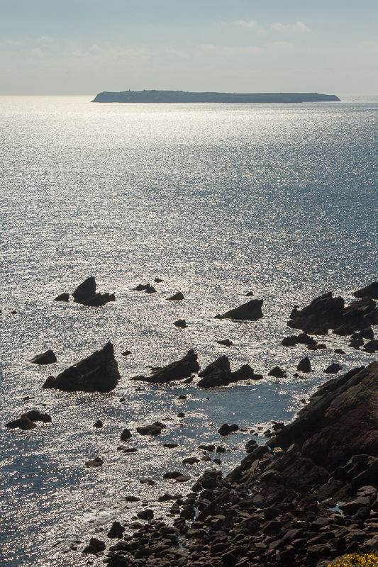
| 17.15 Skokholm Island. |
 |
||
|---|---|---|
| 17.17 Skokholm Island and the coastline leading up to Skoma Island in the distance. |
 |
||
|---|---|---|
| 17.18 Panorama 45 360 degrees near Great Castle Head above Westdale Bay. |
 |
||
|---|---|---|
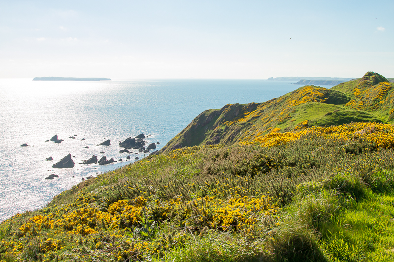
| 17.19 Skoma Island in the distance with the distinctive shape of Mew Stone. |
 |
||
|---|---|---|
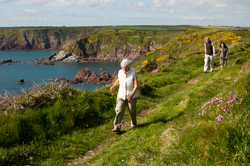
| 17.33 On the homeward leg. |
 |
||
|---|---|---|
| 17.34 |
 |
||
|---|---|---|
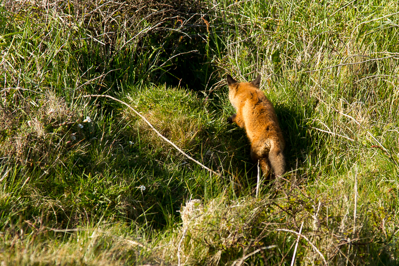
| 18.00 A brief view of a baby fox. |
 |
||
|---|---|---|
| 18.04 I don't think everyone saw the fox but they put on a brave face. |
 |
||
|---|---|---|
| 18.13 Home in sight. |
 |
||
|---|---|---|
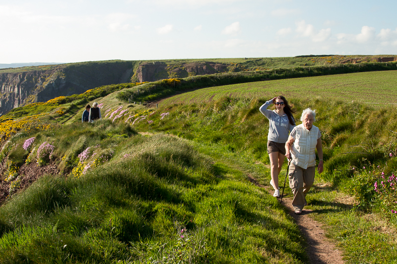
| 18.19 Nearly there. | ||
 |
|---|

