|
|
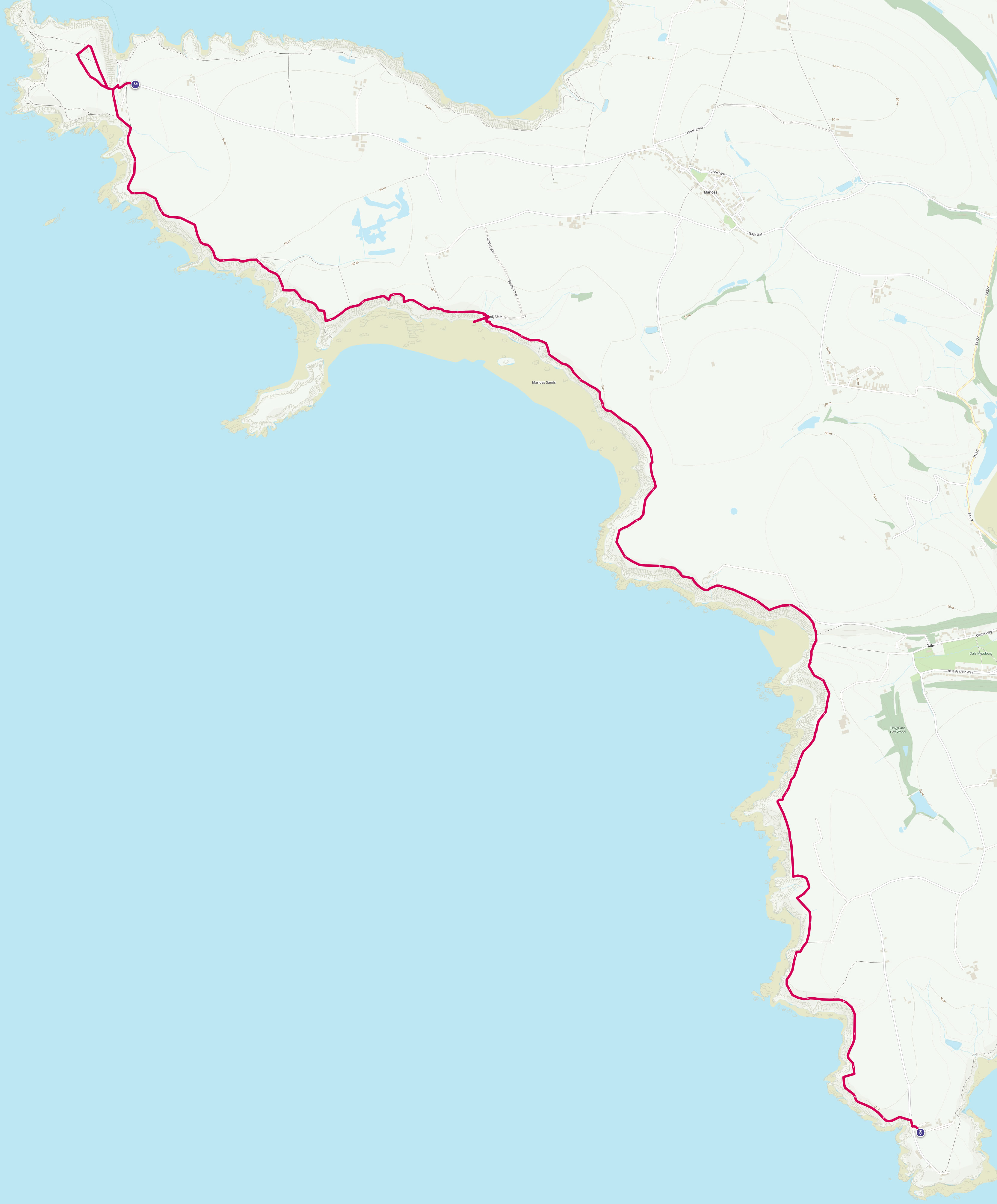
Walk 3 - Martin's Haven to St Ann's Head - 31st May 2013 |
|||
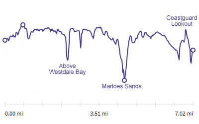
Distance |
7 miles |
 |
|
Time |
5.5 hrs |
||
Lowest Point |
Sea level |
||
Highest Point |
198 ft |
||
Total Ascent |
758 ft |
||
Walkers |
A T E N M M C T A |
||
 |
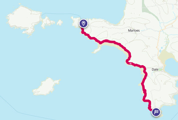
Mini Route Map Go to start on OS map
Go to start on Google
|
 |
|
|---|---|---|---|
 |
||
|---|---|---|
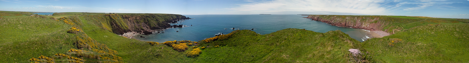
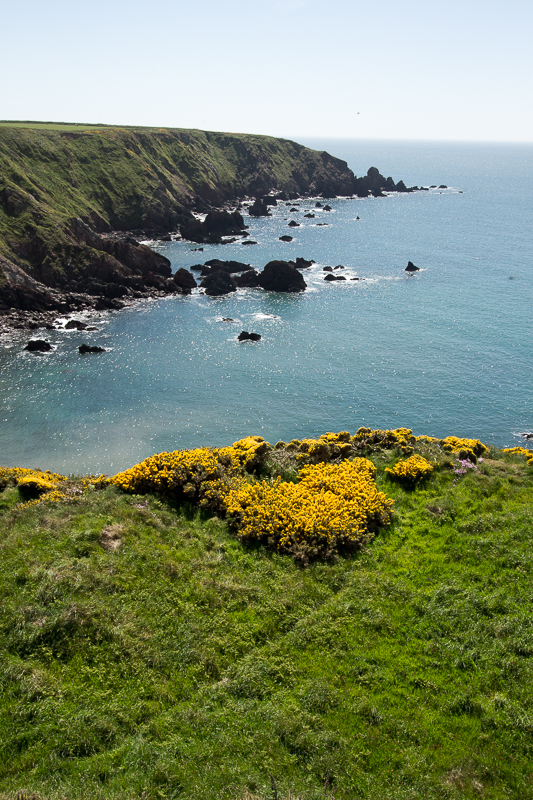
| 13.43 Panorama 49 After delivering one car to Martin's Haven we set off from St Ann's Head and were soon back at Westdale Bay. |
 |
||
|---|---|---|
| 13.44 Looking back towards St Ann's Head. | ||
 |
||
| 13.47 Arriving at Westdale Bay but walking in the opposite direction compared to what we did five days earlier. | ||
 |
||
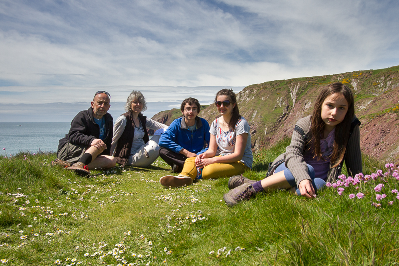
| 13.58 Family photo above Westdale Bay. |
 |
||
|---|---|---|
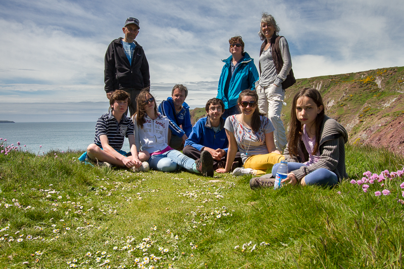
| 14.03 Group photo above Westdale Bay | ||
 |
||
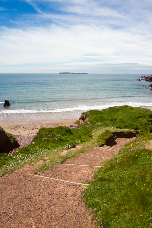
| 14.06 Skokholm Island from Westdale Bay | ||
 |
||
| 14.08 Climbing away from Westdale Bay. | ||
 |
||
| 14.11 Westdale Bay. | ||
 |
||
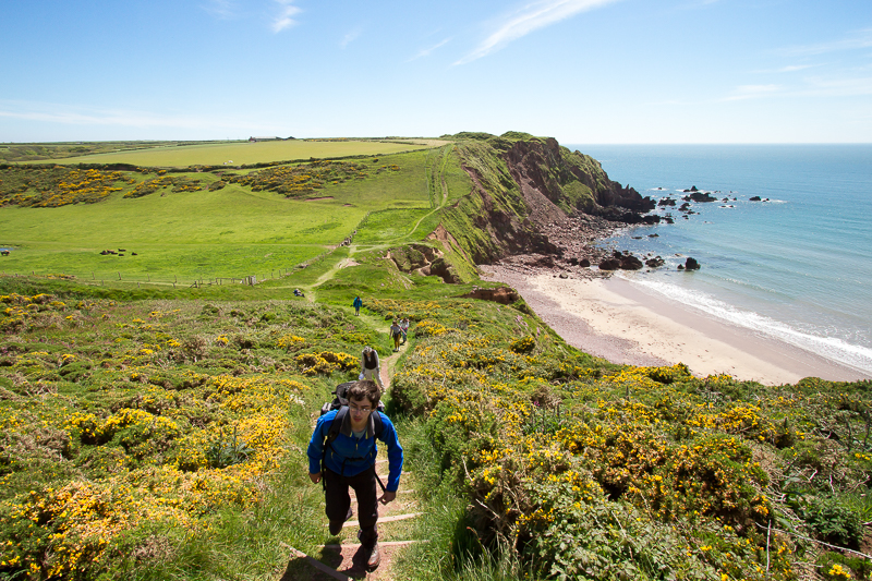
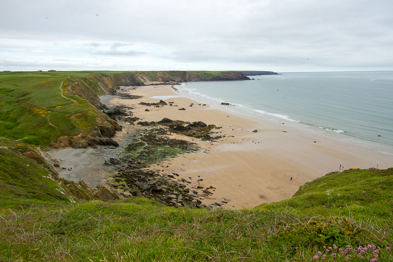
| 14.35 First view of Marloes Sands. |
 |
||
|---|---|---|
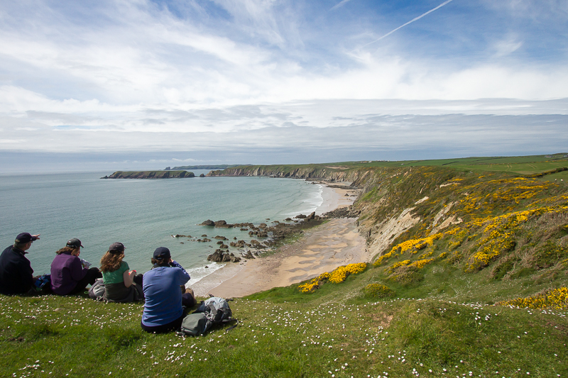
| 14.44 Marloes Sands picnic spot. That's not us by the way. |
 |
||
|---|---|---|
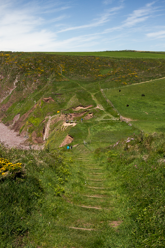
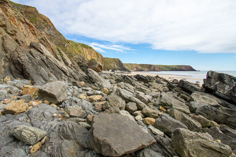
| 15.13 Reaching the beach at Marloes Sands. |
 |
||
|---|---|---|
| 16.46 Leaving Marloes Sands. |
 |
||
|---|---|---|
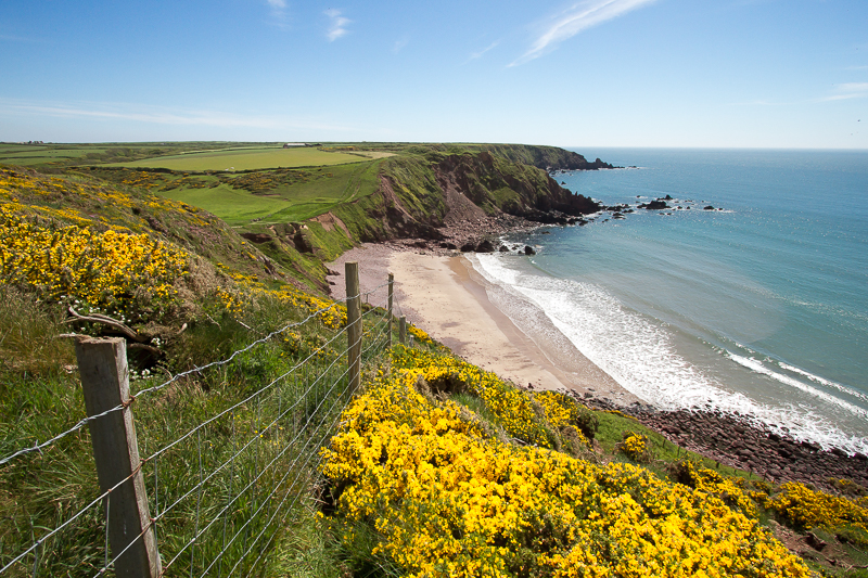
| 16.53 Marloes Sands looking back the way we have come. |
 |
||
|---|---|---|
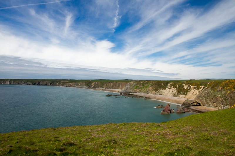
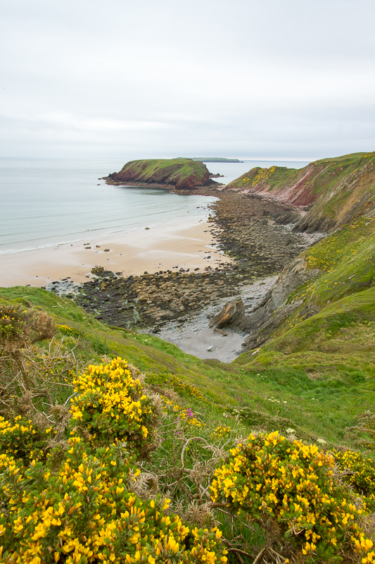
| 16.59 Gateholm Island at the end of Marloes Sands. |
 |
||
|---|---|---|
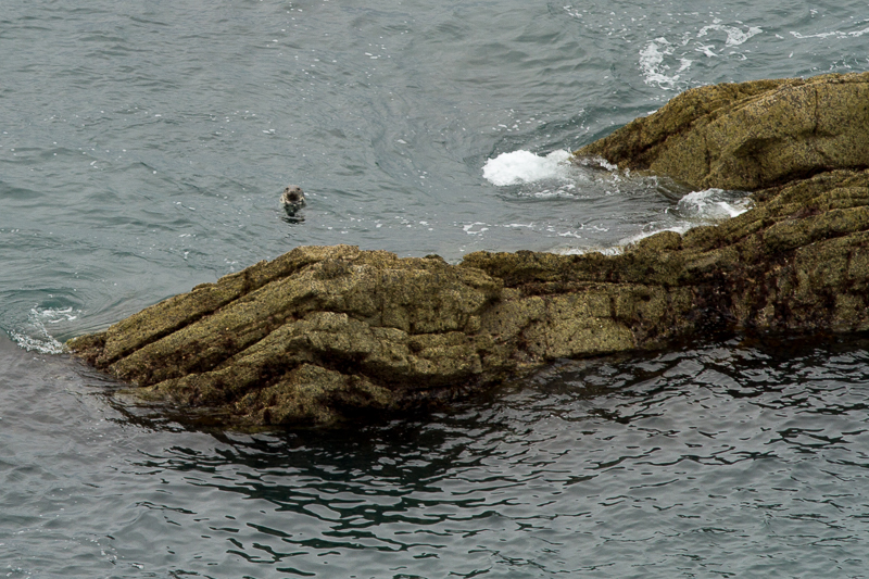
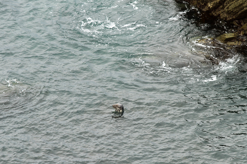
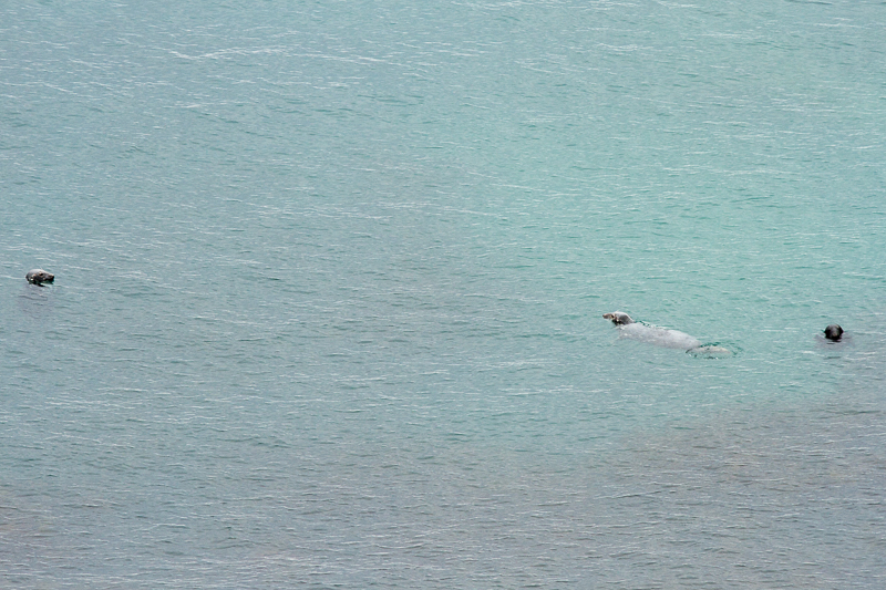
| 17.23 As we walked along we saw several seals close to the shore. |
 |
||
|---|---|---|
| 17.24 |
 |
||
|---|---|---|
| 17.49 |
 |
||
|---|---|---|
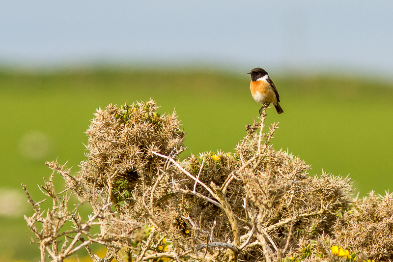
| 17.59 Stonechat on Gorse. |
 |
||
|---|---|---|
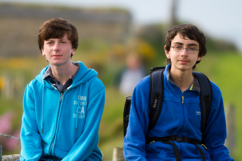
| 18.07 Boys on gate. |
 |
||
|---|---|---|
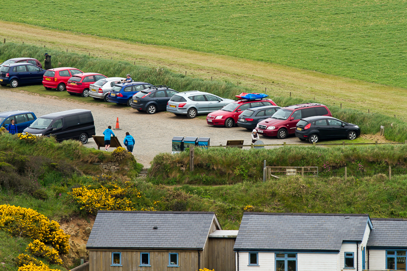
| 18.27 Arriving at the Car Park at Martin's Haven. Photographed from the hill leading up to the Coastguard Lookout. | ||
 |
|---|

