|
|
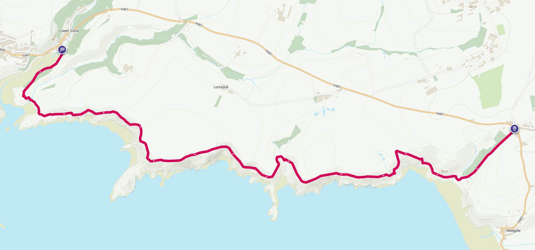
Walk 4 - Pencwym to Solva - 28th May 2014 |
|||
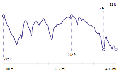
Distance |
4.4 miles |
 |
|
Time |
2 hrs |
||
Lowest Point |
Sea level |
||
Highest Point |
292 ft |
||
Total Ascent |
846 ft |
||
Walkers |
A solo |
||
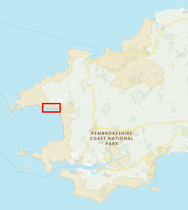 |
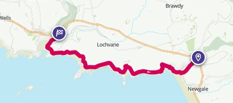
Mini Route Map Go to start on OS map
Go to start on Google
|
 |
|
|---|---|---|---|
 |
||
|---|---|---|
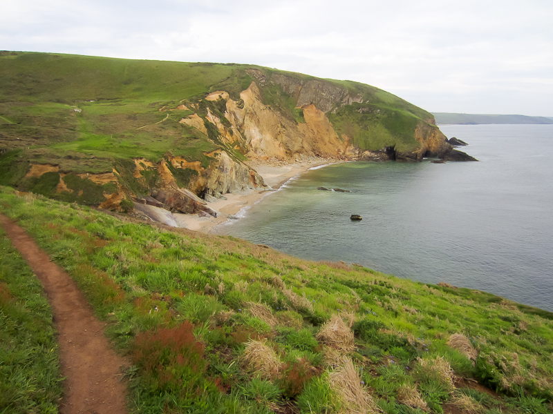
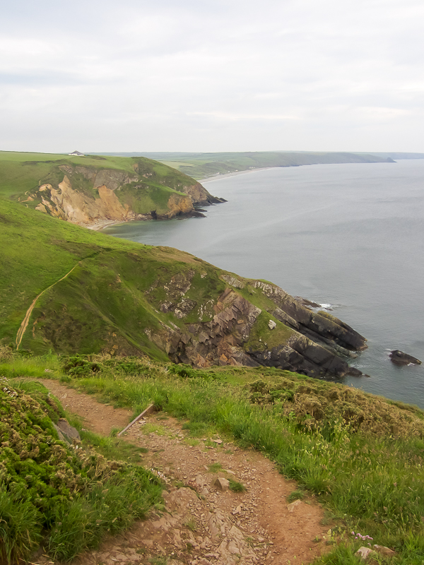
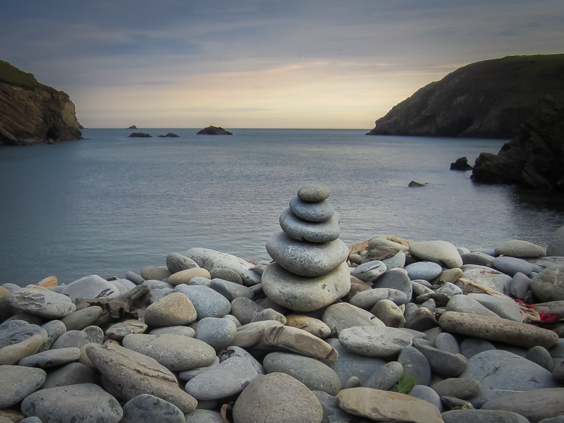
| 18.03 The beach below Penycwm. | ||
 |
||
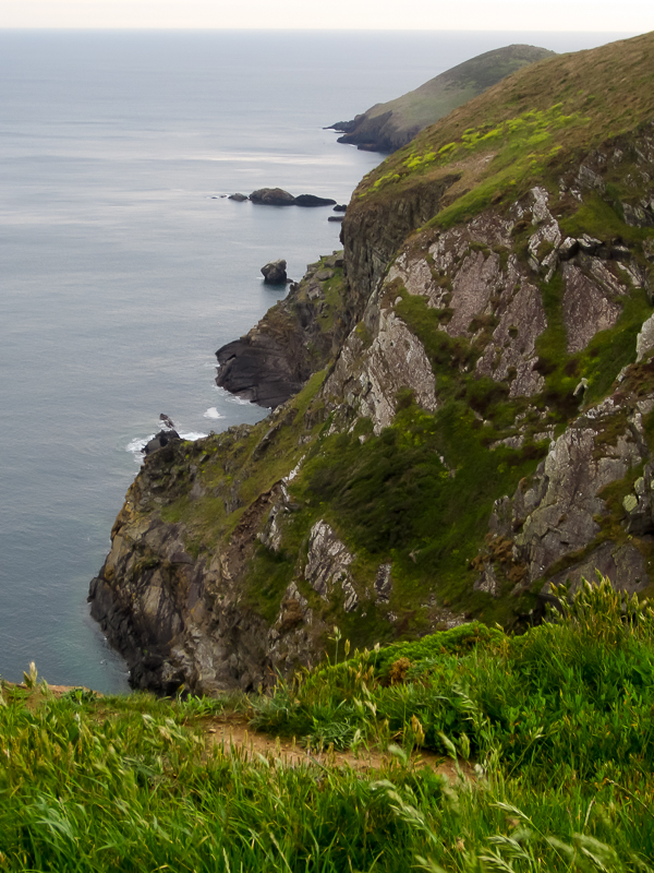
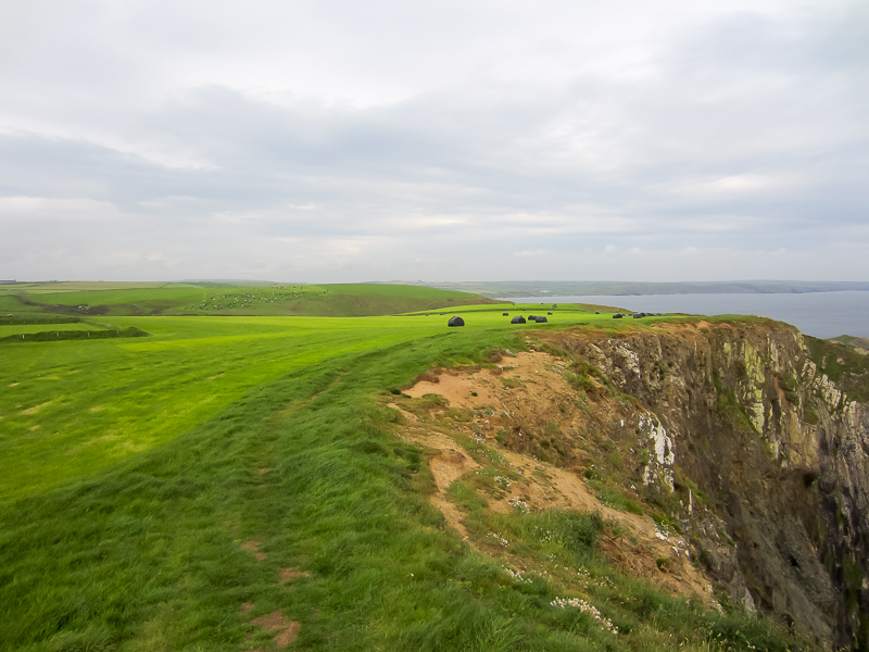
| 18.12 A few large drops and climbs in the early part of the walk. | ||
 |
||
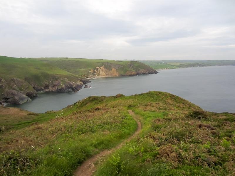
| 18.23 Newgale beach in the distance. |
 |
||
|---|---|---|
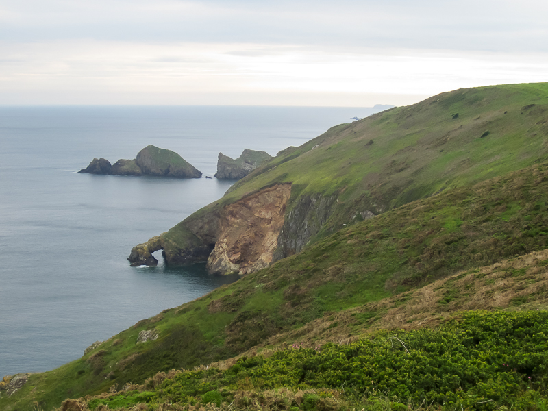
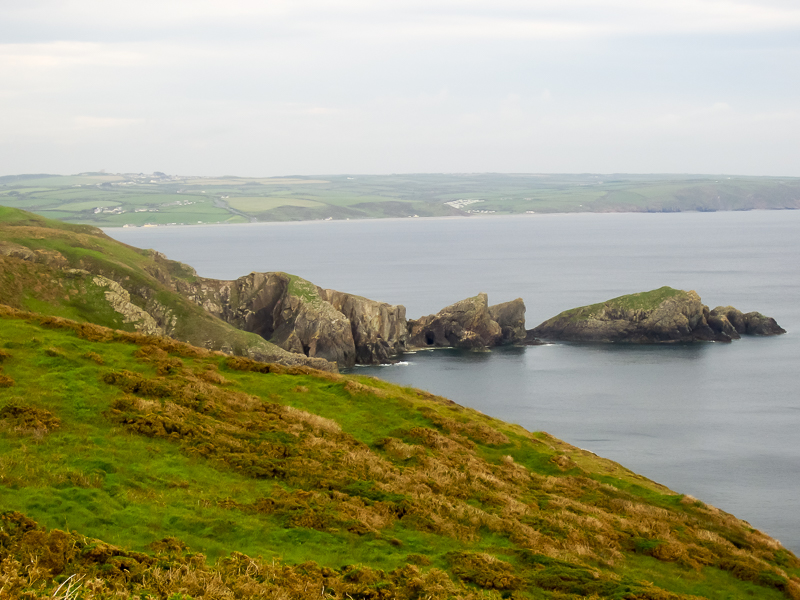
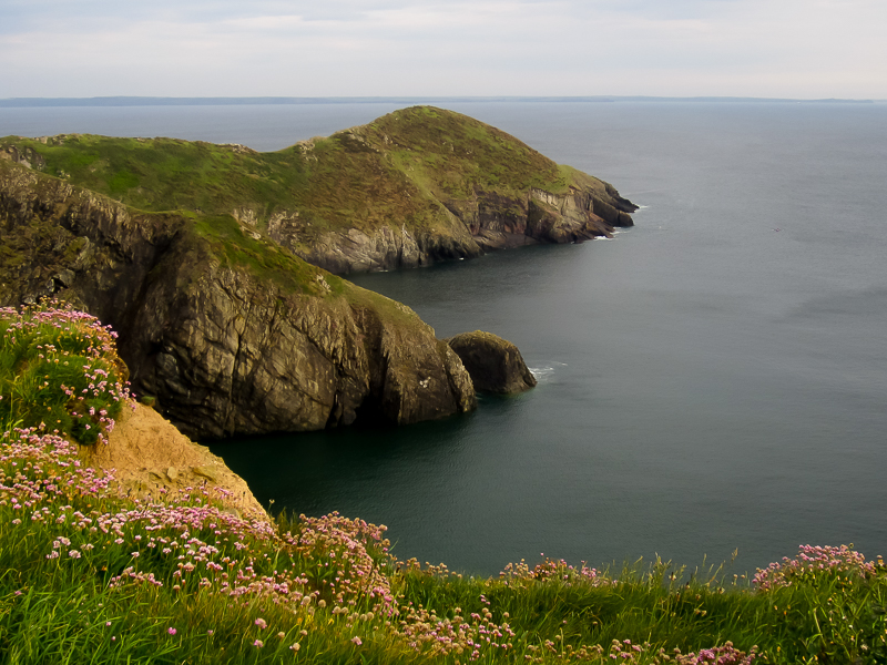
| 18.27 Dinas Fach in the distance and closer the natural arch near Ogof Felen. | ||
 |
||
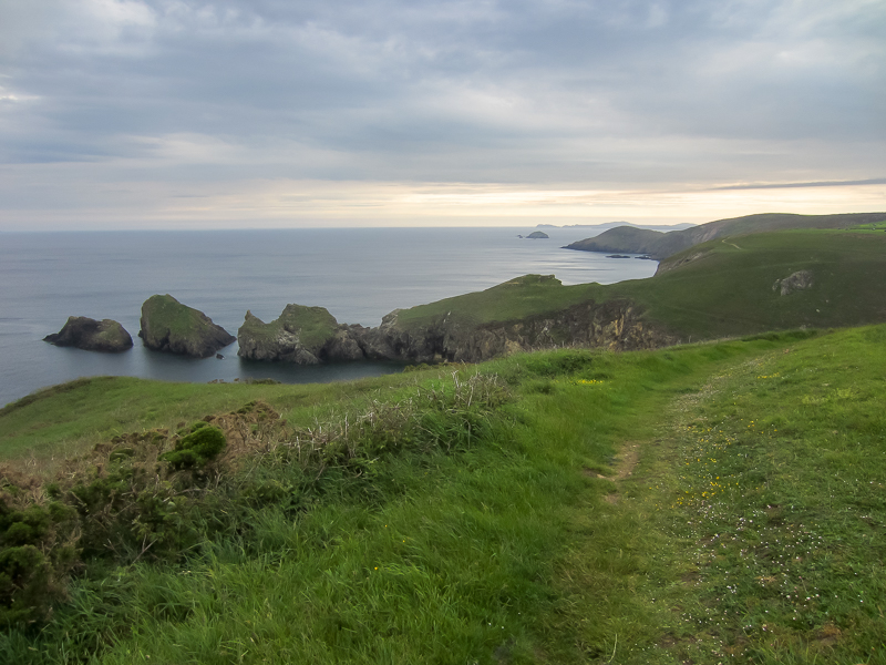
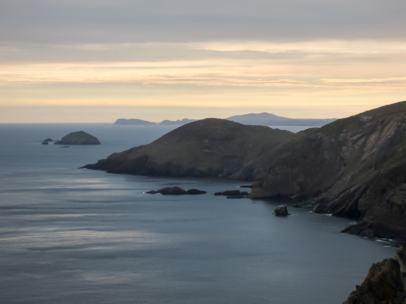
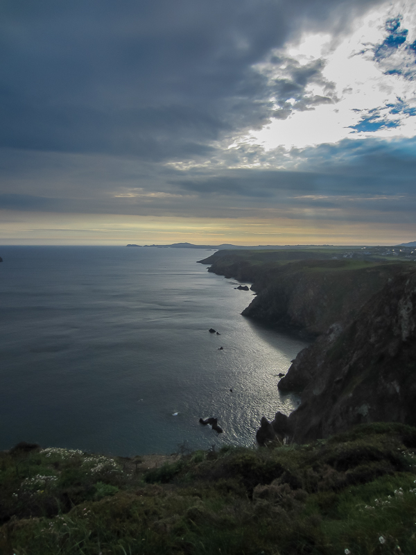
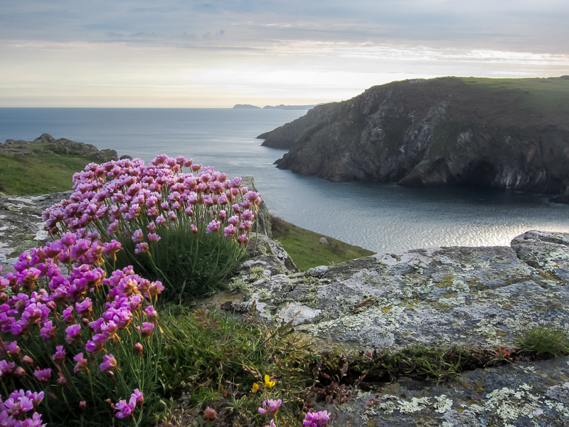
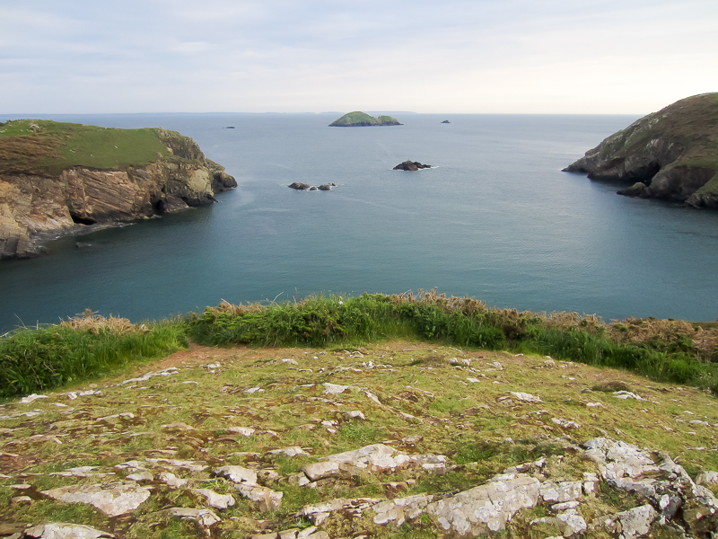
18.35 First view of several features of the coast. Dinas Fach is the separated rocks jutting out into the sea. Further along is the headland of Dinas Fawr. Close by that is the island of Green Scar which has several small named rocks around it. Behind in the far distance is Ramsey Island. |
||
 |
||
| 18.47 Green Scar, Ramsey Island in the distance, and Dinas Fawr closer. | ||
 |
||
| 18.52 Approaching Dinas Fawr. | ||
 |
||
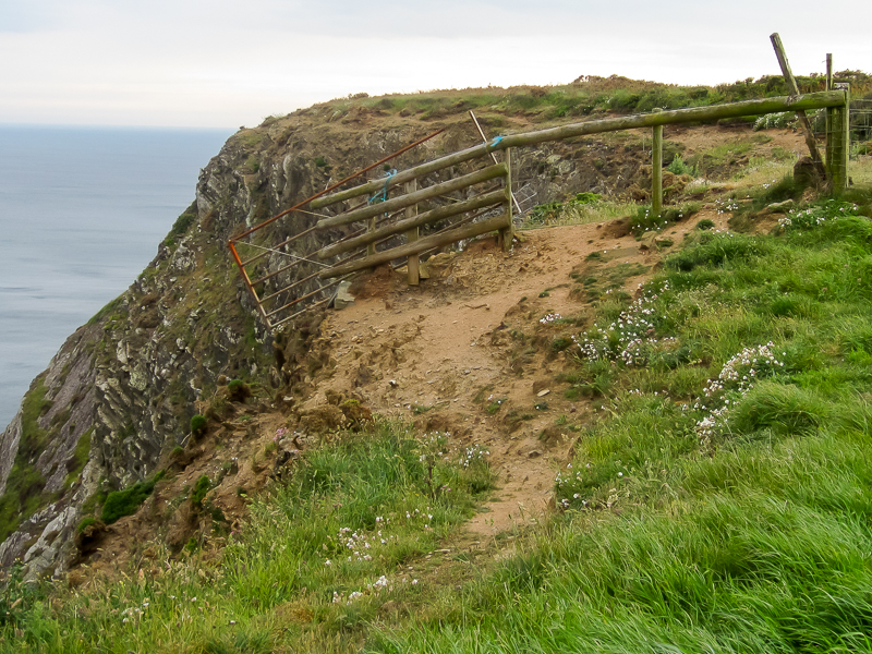
| 18.54 Rather dodgy protection in case you were tempted. |
 |
||
|---|---|---|
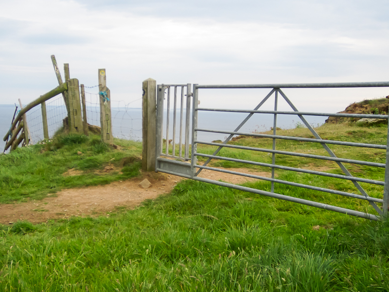
| 18.54 A rather more solid gate. | ||
 |
||
|---|---|---|
| 18.55 Quite flat and easy walking for this part. | ||
 |
||
|---|---|---|
| 19.00 Looking back at Dinas Fach and the tide has dropped a little to join the parts together. | ||
 |
||
|---|---|---|
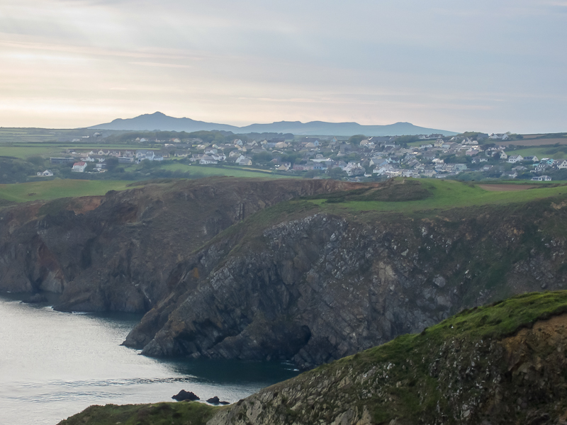
| 19.07 Solva town with Carn Lidi further away to the west. | ||
 |
||
|---|---|---|
| 19.08 The hills on Ramsey Island. | ||
 |
||
|---|---|---|
| 19.12 Looking West towards Ramsey Island. | ||
 |
||
|---|---|---|
| 19.17 Dinas Fawr. | ||
 |
||
|---|---|---|
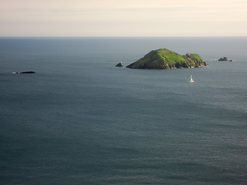
| 19.23 Green Scar. | ||
 |
||
|---|---|---|
| 19.32 | ||
 |
||
|---|---|---|
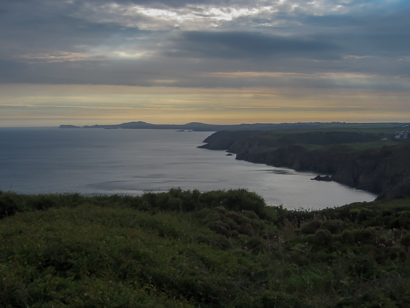
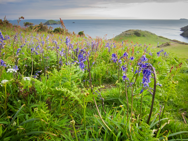
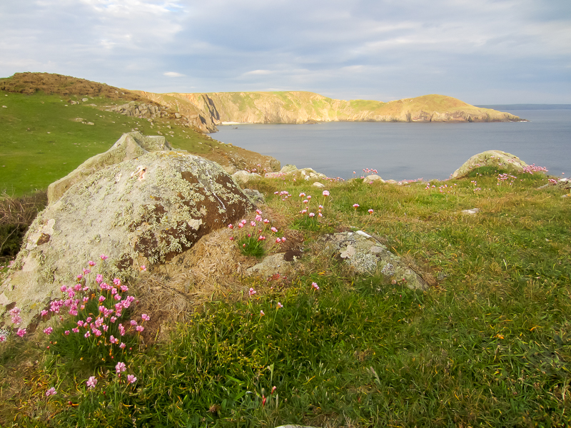
| 19.34 Ramsey Island on the horizon. | ||
 |
||
|---|---|---|
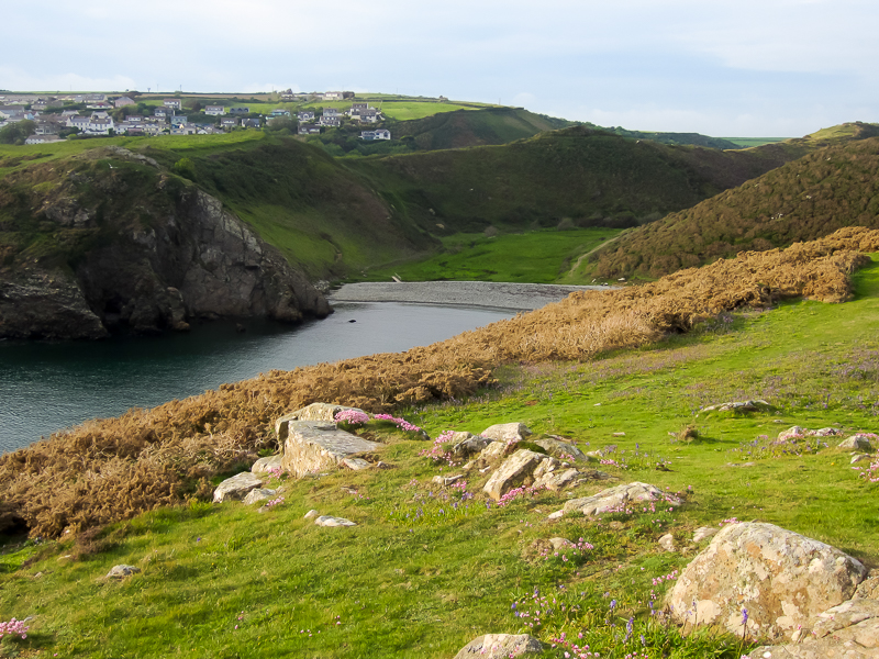
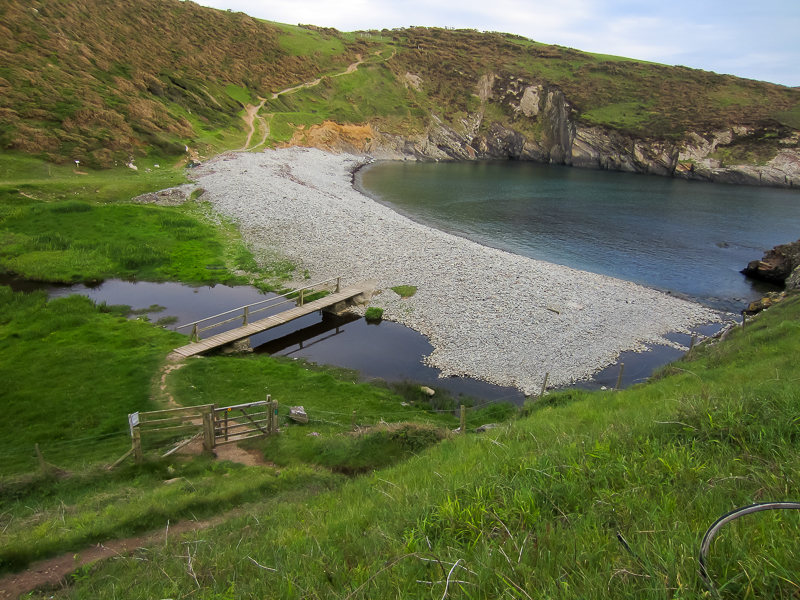
| 19.35 First sight of the sheltered cove of Gwadn. | ||
 |
||
|---|---|---|
| 19.35 Looking back at Dinas Fawr. | ||
 |
||
|---|---|---|
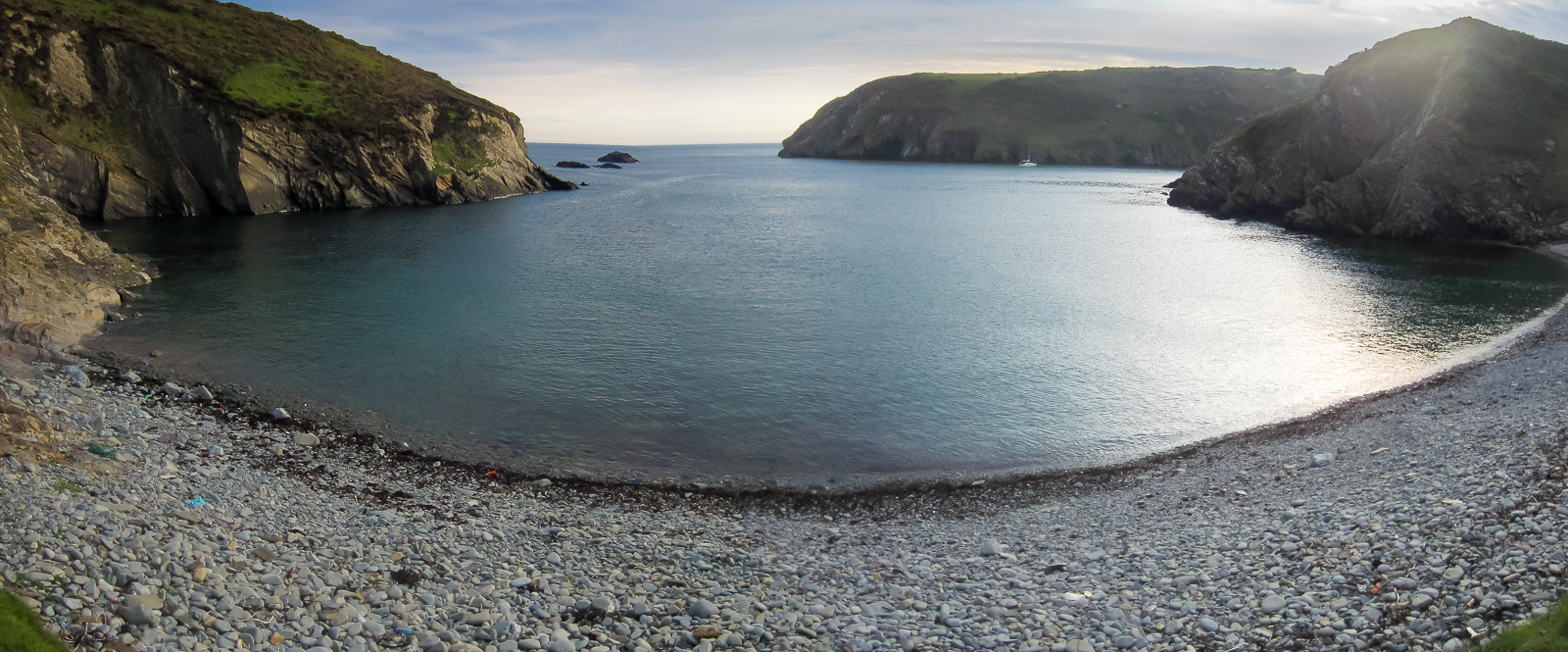
| 19.40 Panorama from Gwadn Beach. |
 |
||
|---|---|---|
| 19.41 Gwadn. |
 |
||
|---|---|---|
| 19.45 Leaving Gwadn. |
 |
||
|---|---|---|
| 19.49 From the hilltop between Gwadn and Solva Harbour. Black Rock in the mouth of the bay. Then The Mare, Green Scar and Black Scar further out. |
 |
||
|---|---|---|
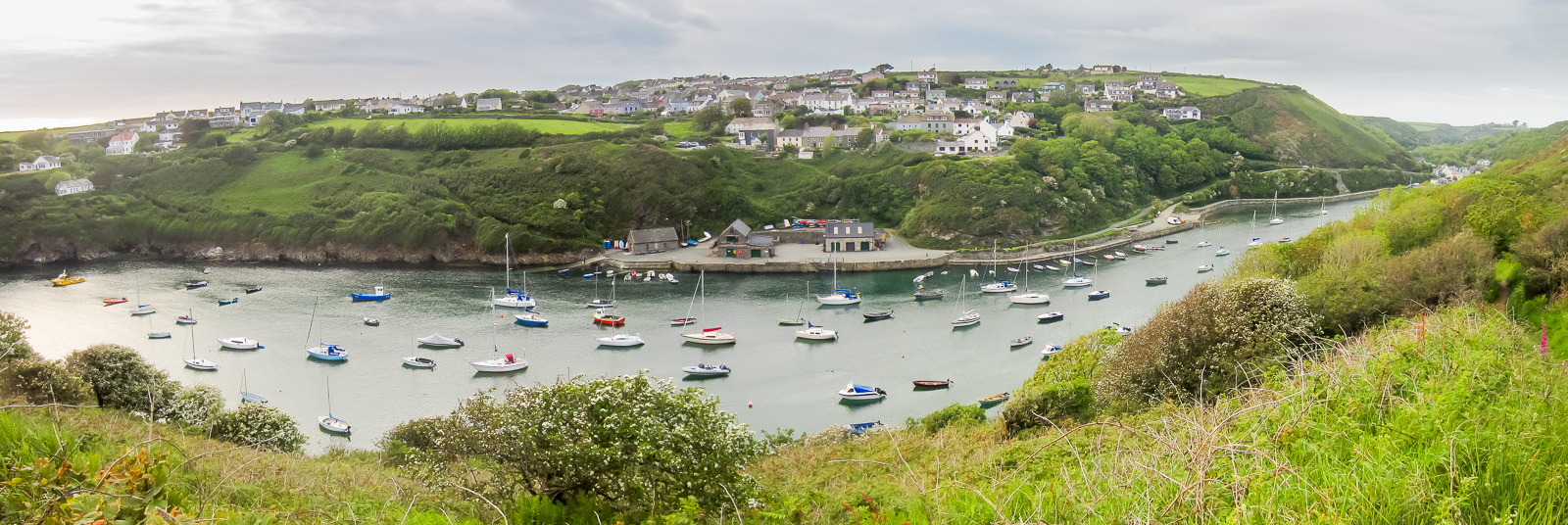
| 19.51 Solva Harbour |
 |
|---|

