|
|
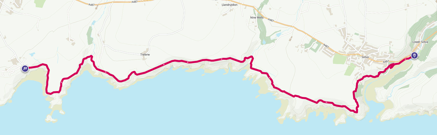
Walk 5 - Solva to Caerfai Bay - 29th May 2014 |
|||
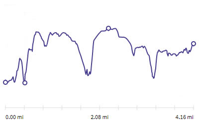
Distance |
4.2 miles |
 |
|
Time |
2 hrs |
||
Lowest Point |
Sea level |
||
Highest Point |
203 ft |
||
Total Ascent |
709 ft |
||
Walkers |
A N |
||
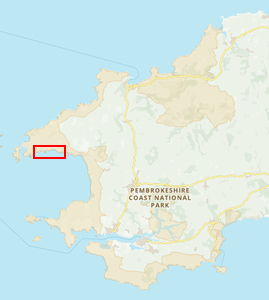 |
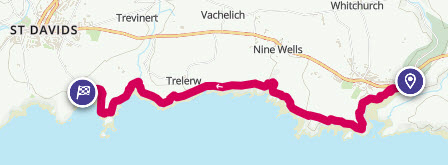
Mini Route Map Go to start on OS map
Go to start on Google
|
 |
|
|---|---|---|---|
 |
||
|---|---|---|
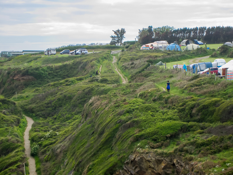
| 15.59 Leaving Solva after lunch at the pub. |
 |
||
|---|---|---|
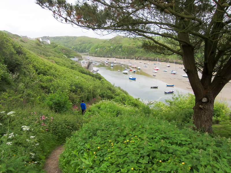
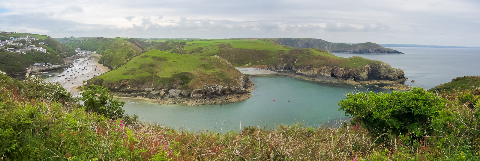
| 16.11 Solva Harbour. |
 |
||
|---|---|---|
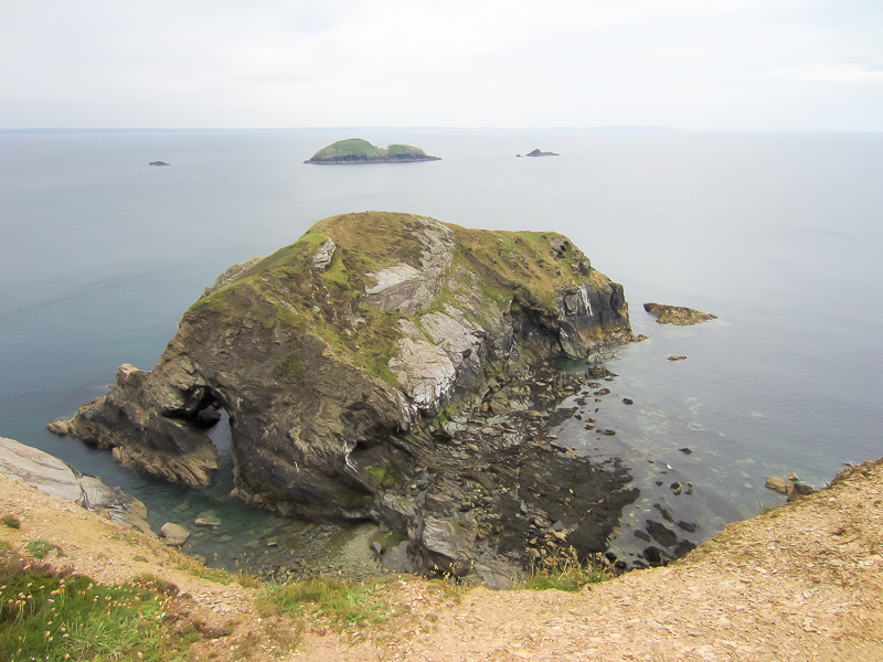
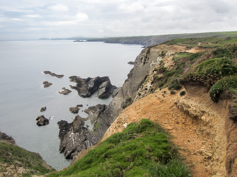
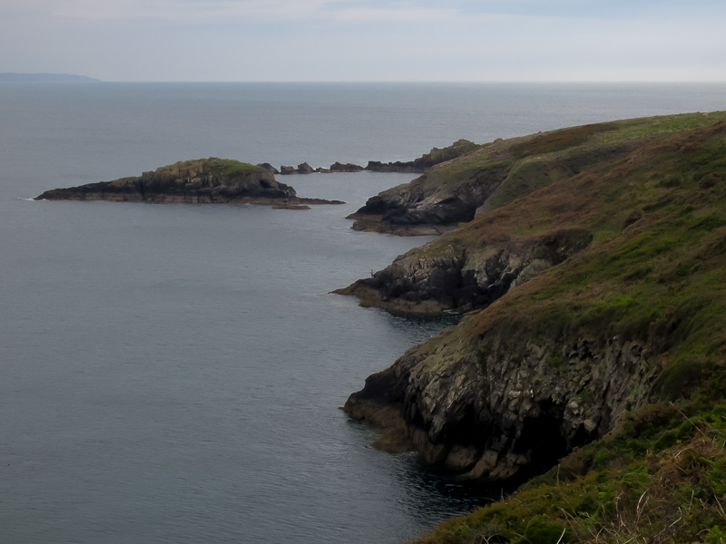
| 16.13 The Mare, Green Scar and Black Scar. | ||
 |
||
| 16.15 Gewni in front of Green Scar. |
 |
||
|---|---|---|
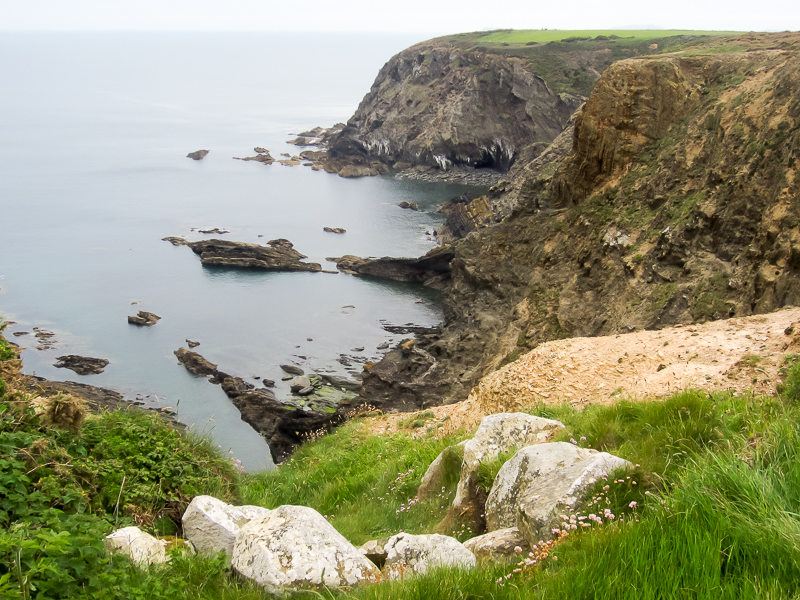
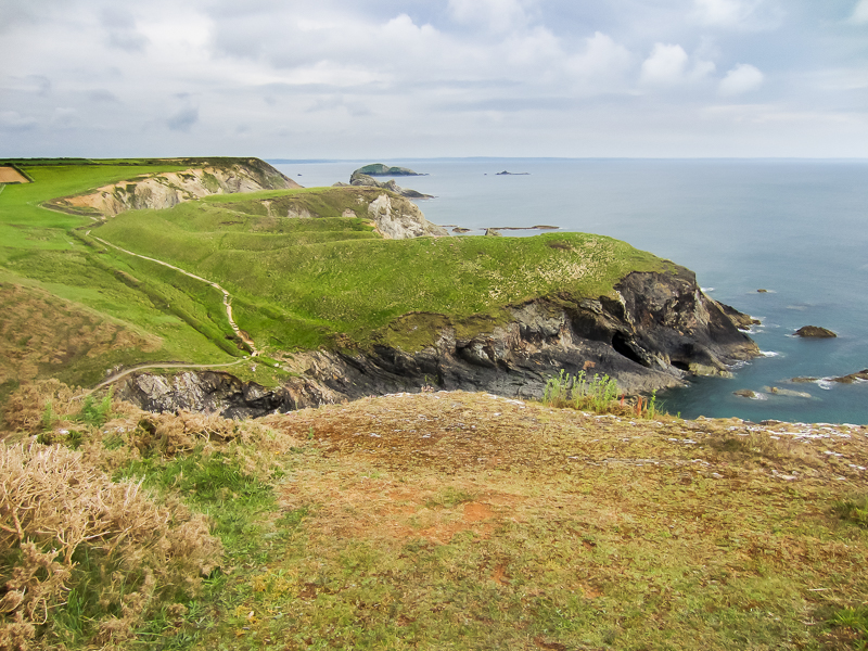
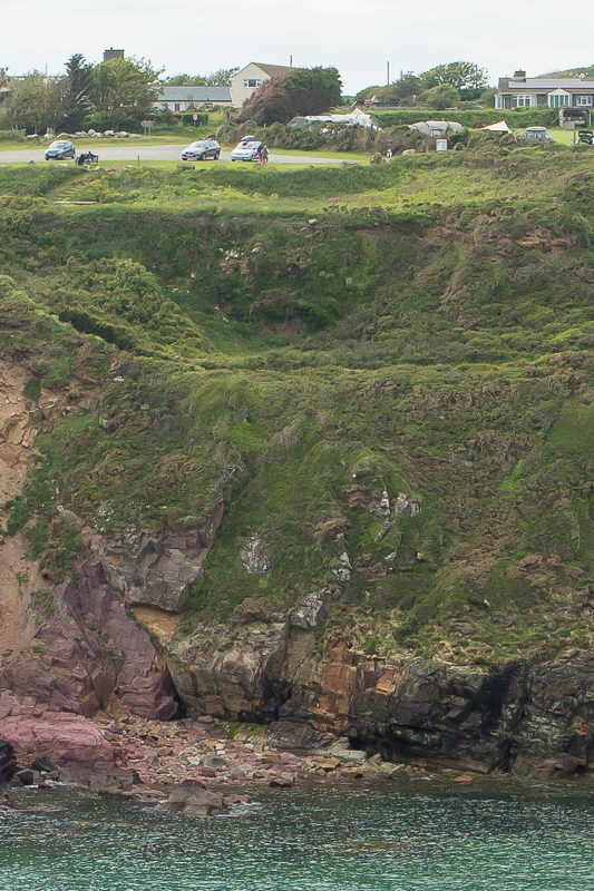
| 16.17 Cave at the bottom of the cliff on the far side of the bay. | ||
 |
||
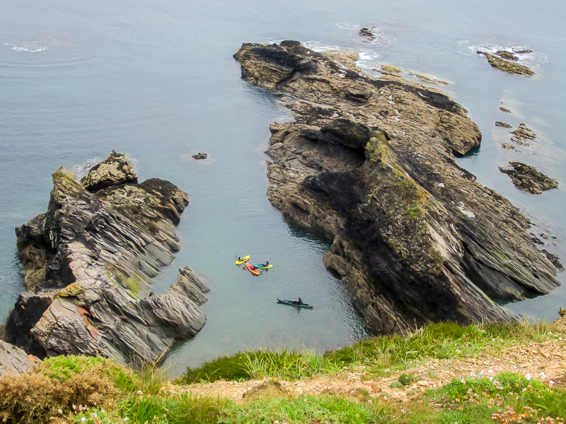
| 16.18 Kayaks near Cartws | ||
 |
||
| 16.24 Looking East with Dinas Fawr in the distance on the other side of the entrance to Solva Harbour. | ||
 |
||
| 16.28 At Craig Friw. | ||
 |
||
| 16.28 On the cliffs near Solva. |
 |
||
|---|---|---|
| 16.33 Looking west towards St Davids. |
 |
||
|---|---|---|
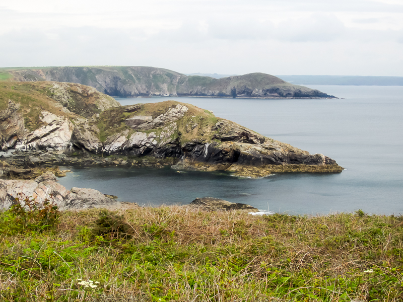
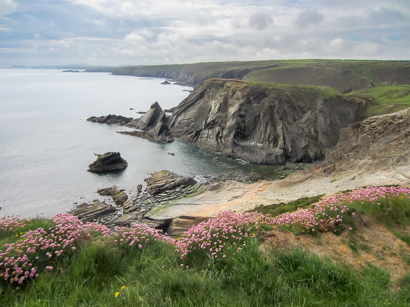
| 16.35 Loch Warren with a headland known as The Cradle in front of Black Scar. |
 |
||
|---|---|---|
| 16.36 Looking west from Aber Long |
 |
||
|---|---|---|
| 16.40 Aber Long |
 |
||
|---|---|---|
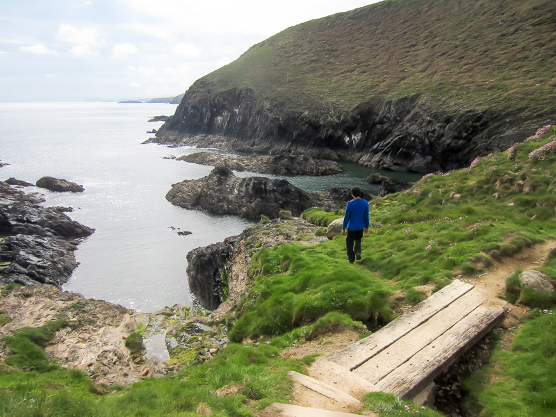
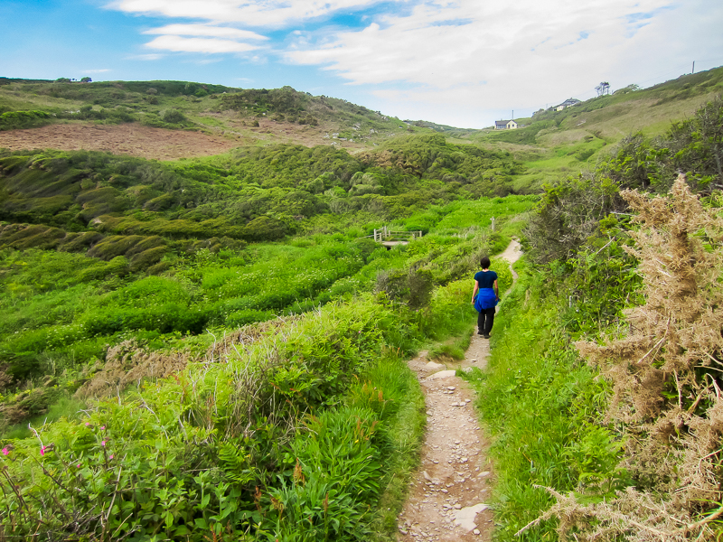
| 16.42 Small footbridge overlooking Porth Y Rhaw. |
 |
||
|---|---|---|
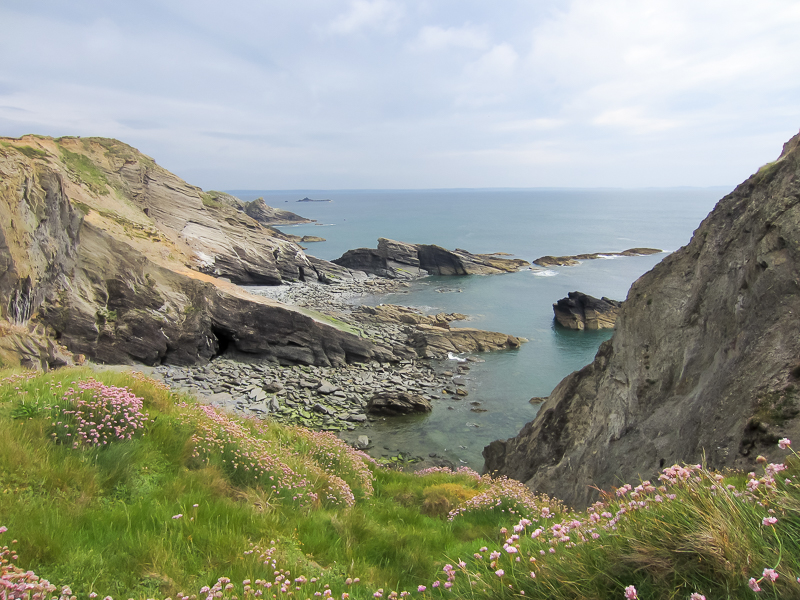
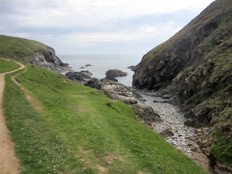
| 16.44 Porth Y Rhaw a small bay near to Llandruidion |
 |
||
|---|---|---|
| 16.46 Porth Y Rhaw |
 |
||
|---|---|---|
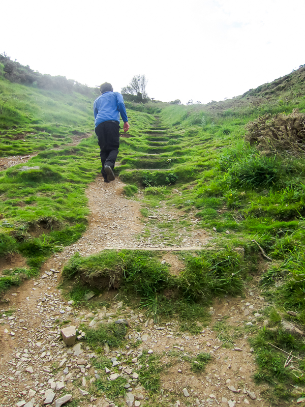
| 16.48 Steep climb out of the bay. |
 |
||
|---|---|---|
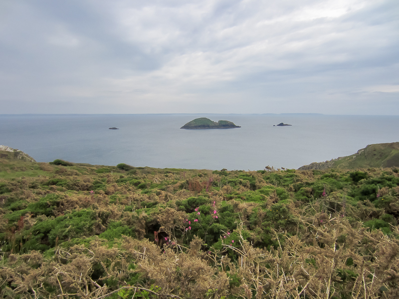
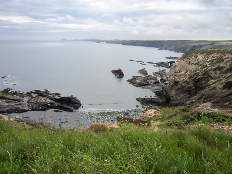
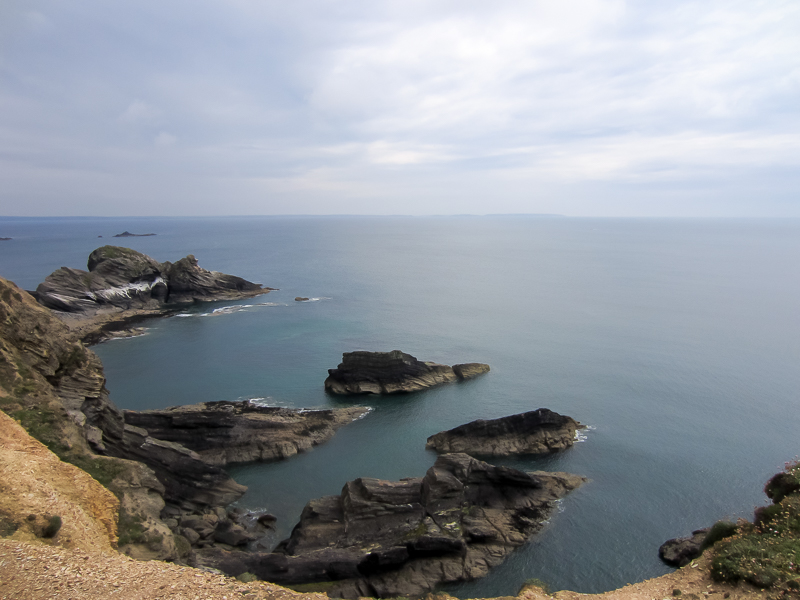
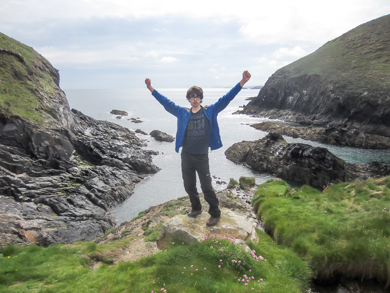
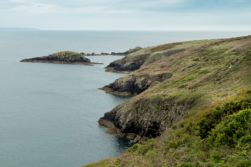
| 16.52 Green Scar still in sight. | ||
 |
||
|---|---|---|
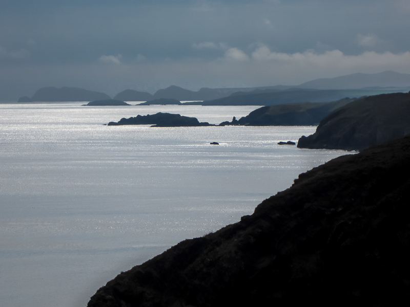
| 16.55 Looking west to Ramsey Island and the hills near St Davids. |
 |
||
|---|---|---|
| 17.24 Just before the last short climb |
 |
||
|---|---|---|
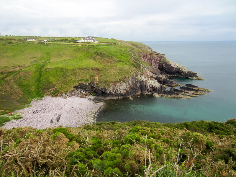
| 17.29 Caer Bwdy Bay |
 |
||
|---|---|---|
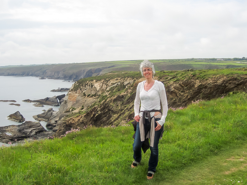
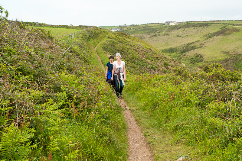
| 17.31 Meeting the walkers. |
 |
 |
|
|---|---|---|
| 17.35 Once we had met we had a chance to compare a £100 Canon against a £2000 Canon. This headland is called Penpleidian. | ||
 |
||
|---|---|---|
| 17.42 Looking across Caerfai Bay to grandma waiting near the car. |
 |
||
|---|---|---|
| 17.51 Near the car park. |
 |
|---|

