|
|
Walk 6 - Around the north side of the Angle peninsula - 29th May 2016 |
|||
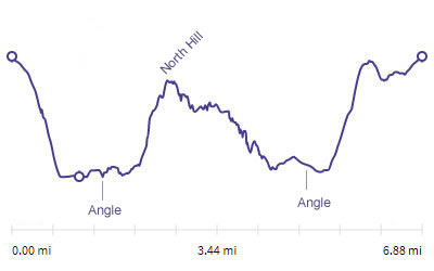
Distance |
6.9 miles |
 |
|
Time |
5.56 hrs |
||
Lowest Point |
Sea level |
||
Highest Point |
201 ft |
||
Total Ascent |
1211 ft |
||
Walkers |
A T E N M |
||
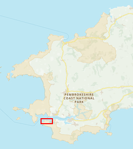 |
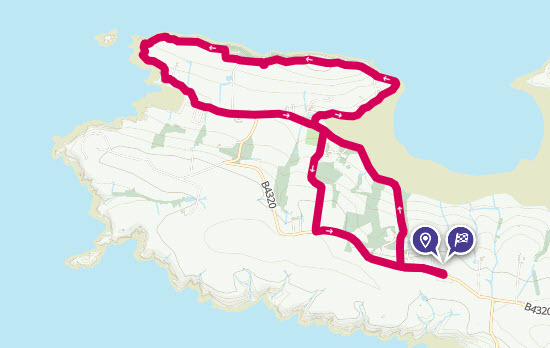
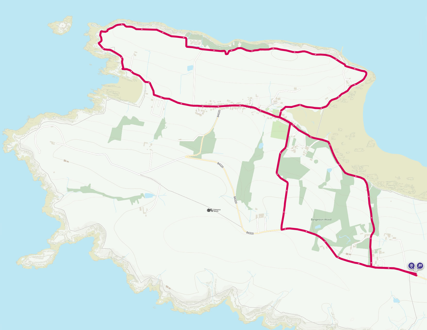
Mini Route Map Go to start on OS map
Go to start on Google
|
 |
|
|---|---|---|---|
 |
||
|---|---|---|
| 15.01 Leaving the Rocket Cart House on the main road towards Angle. | ||
 |
||
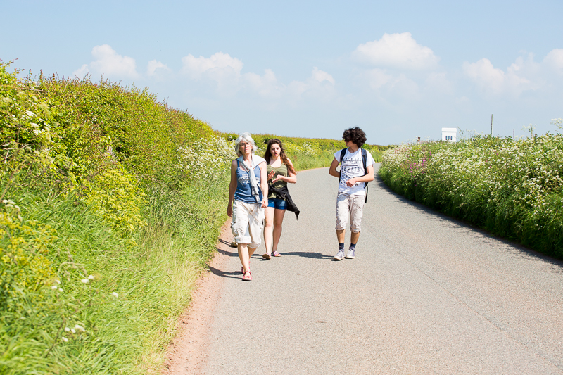
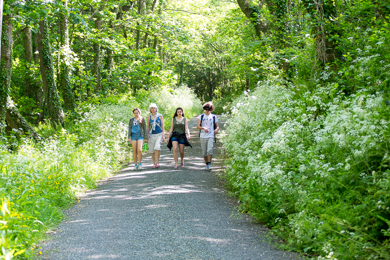
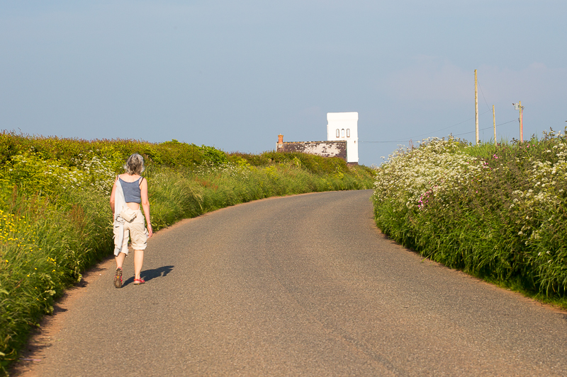
| 15.11 Turning off the main road takes us down this lovely road towards the bay. | ||
 |
||
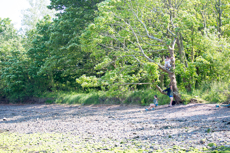
| 15.18 Reaching the beach gives a chance to lookout for pirates. |
 |
||
|---|---|---|
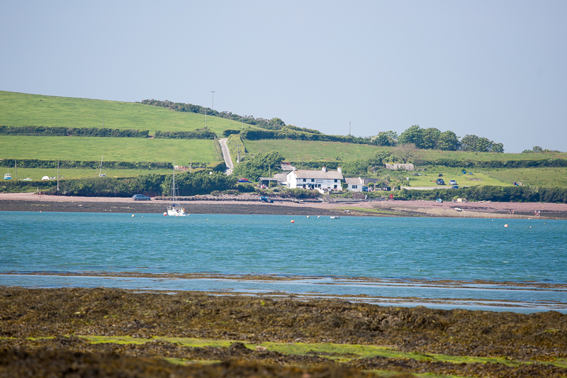
| 15.19 Looking across the estuary mouth to the pub. | ||
 |
||
| 15.49 and now looking back at the Rocket Cart House from near the pub. | ||
 |
||
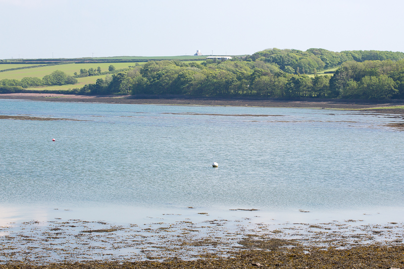
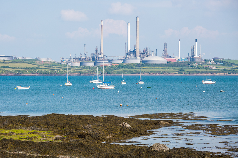
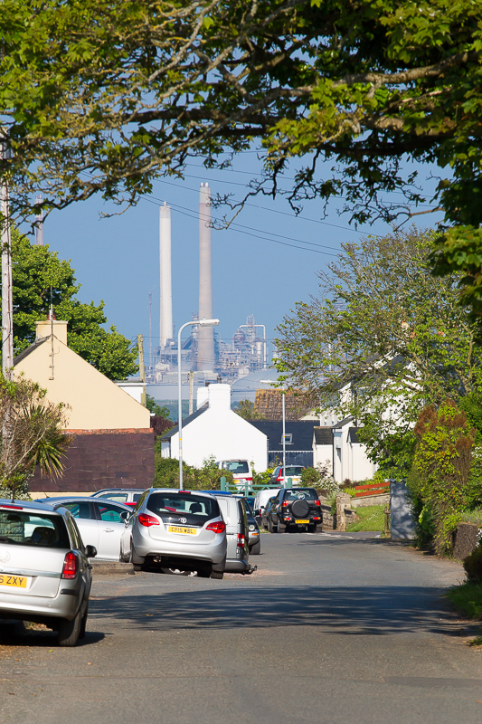
| 15.50 Part of the Milford Haven oil refinery complex across the water which is also called Milford Haven. | ||
 |
||
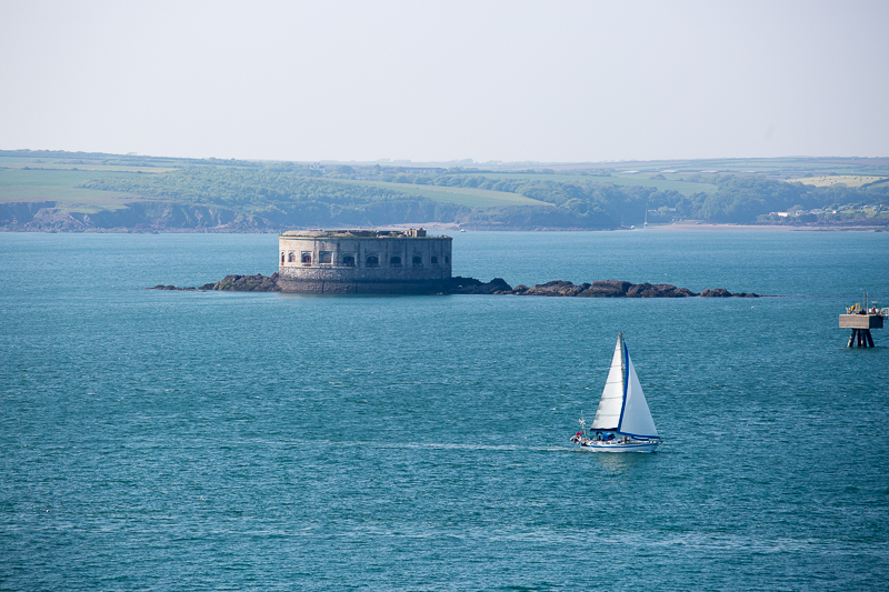
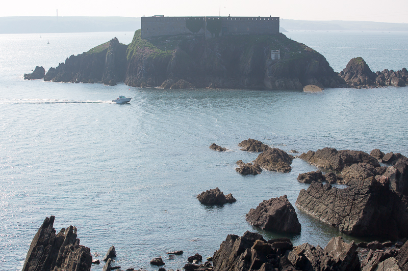
| 17.00 Stack Rock Fort. | ||
 |
||
| 17.17 Walking up a slope on the north side of the headland. |
 |
||
|---|---|---|
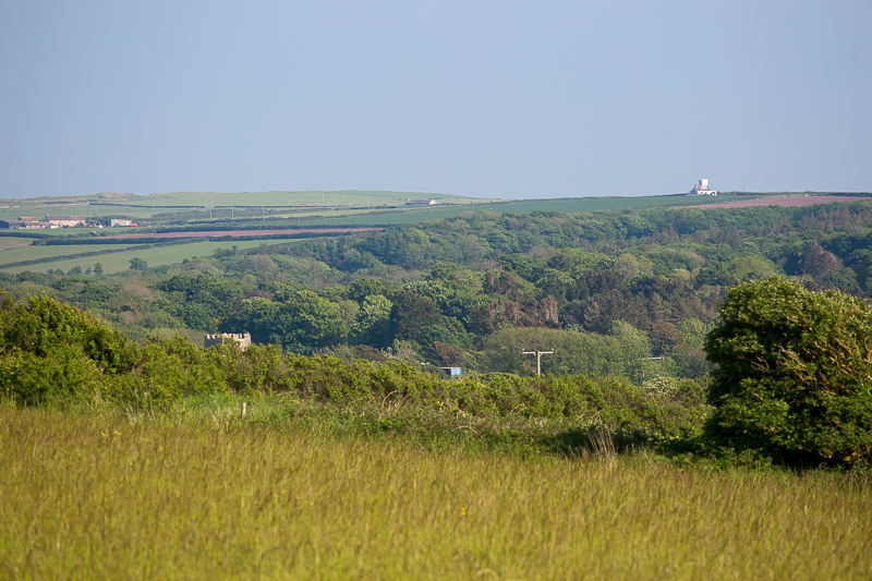
| 17.28 The Rocket Cart House on the horizon. |
 |
||
|---|---|---|
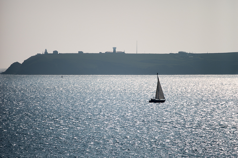
| 17.49 Thorn Island and its hotel. |
 |
||
|---|---|---|
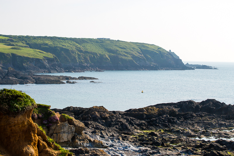
| 17.51 Looking across to St.Ann's Head near Dale. |
 |
||
|---|---|---|
| 17.59 Looking across West Angle Bay. |
 |
||
|---|---|---|
| 18.26 Returning through Angle village. | ||
 |
||
|---|---|---|
| 19.10 Back at the Rocket Cart House. | ||
 |
|---|

