|
|
Walk 7 - Around the south side of the Angle peninsula - 30th May 2016 |
|||
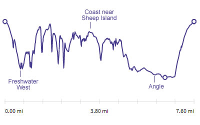
Distance |
7.6 miles |
 |
|
Time |
6.5 hrs |
||
Lowest Point |
Sea level |
||
Highest Point |
201 ft |
||
Total Ascent |
1182 ft |
||
Walkers |
A and T |
||
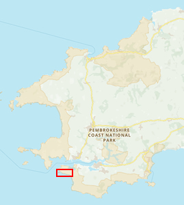 |
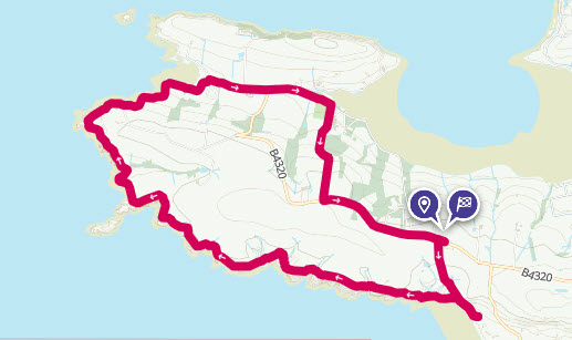
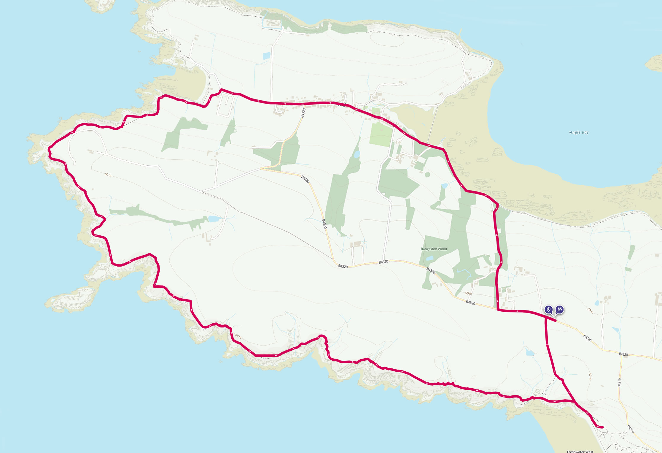
Mini Route Map Go to start on OS map
Go to start on Google
|
 |
|
|---|---|---|---|
 |
||
|---|---|---|
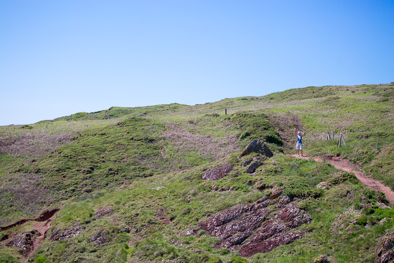
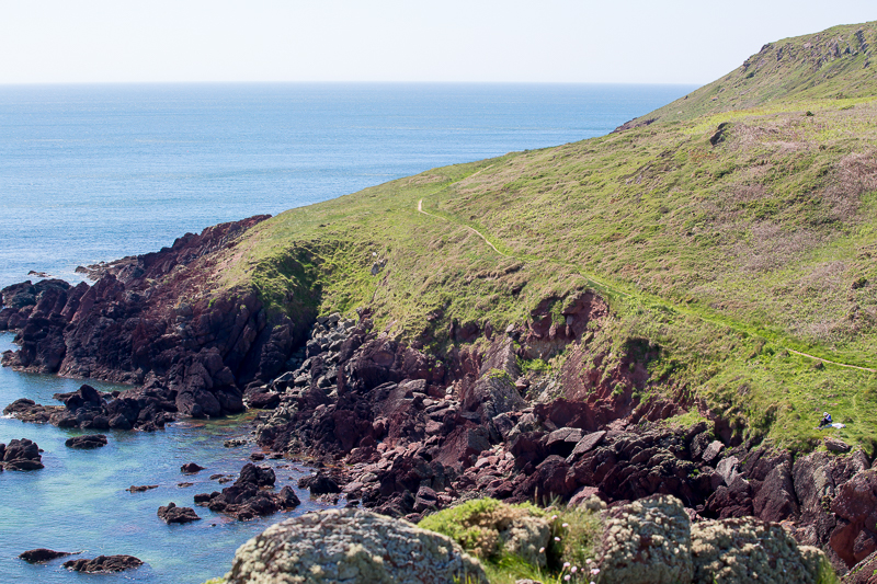
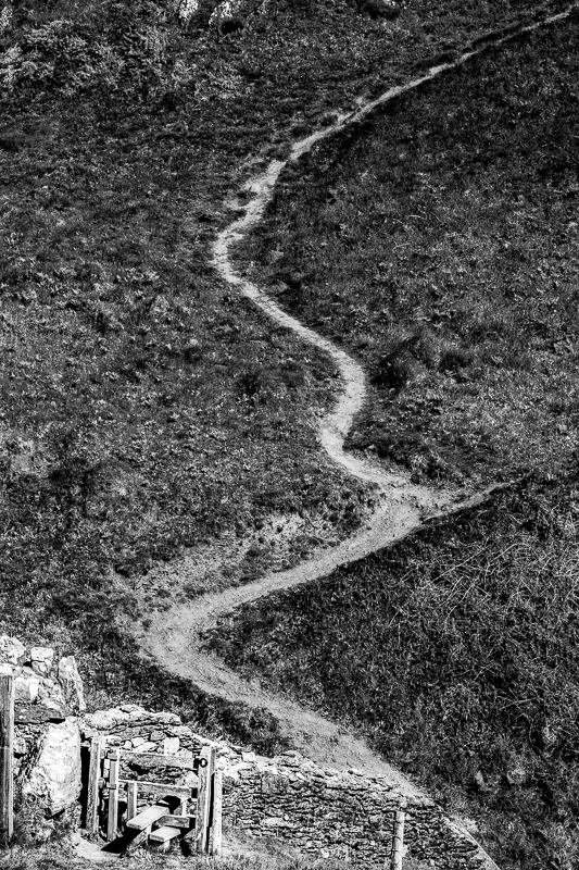
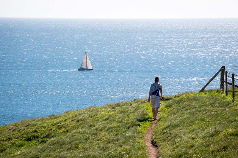
| 14.30 Anna went for a pre-amble up the cliff. | ||
 |
||
| 14.33 The path west from the beach. | ||
 |
||
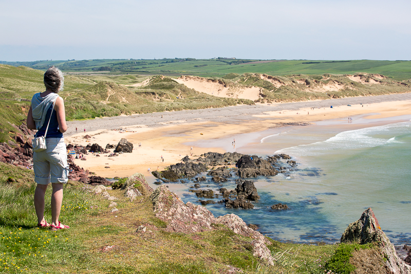
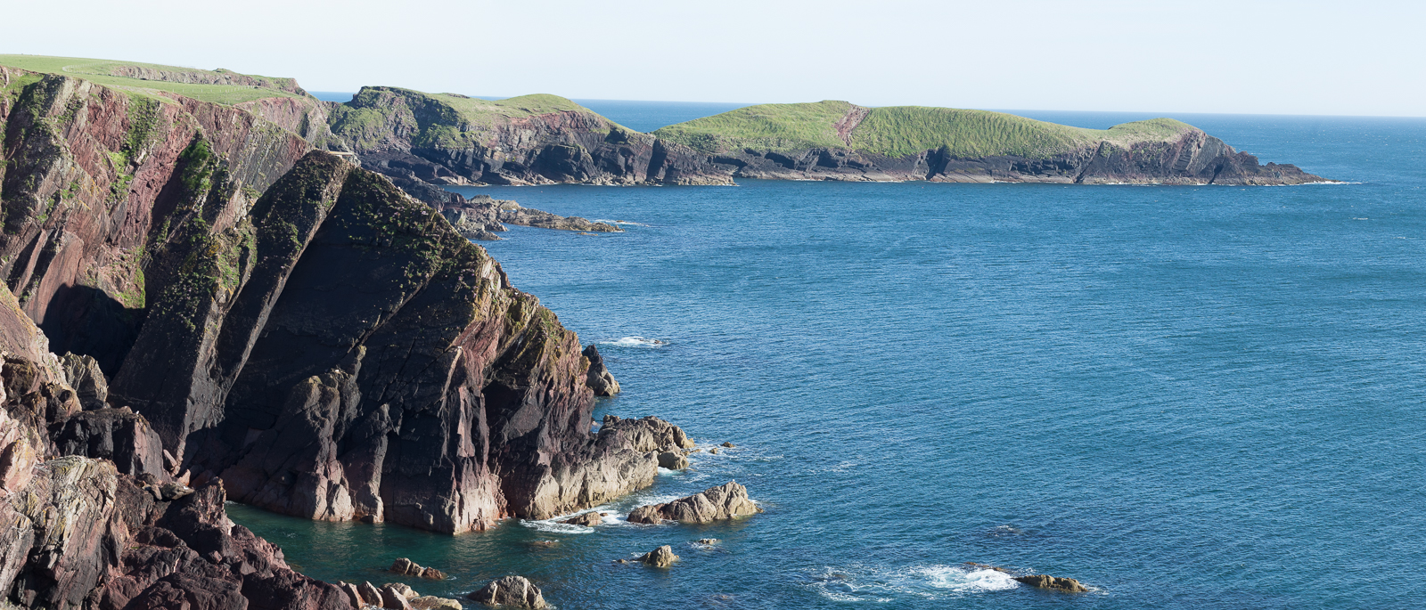
| 14.34 Overlooking Freshwater West beach. |
 |
||
|---|---|---|
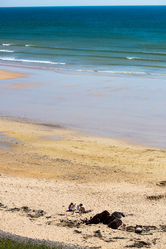
| 14.49 On the beach. It was low tide when Dobby expired about here. | ||
 |
||
| 15.47 | ||
 |
||
| 15.54 Beach Base Camp. | ||
 |
||
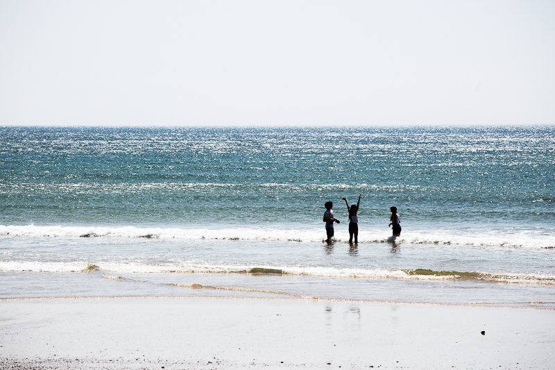
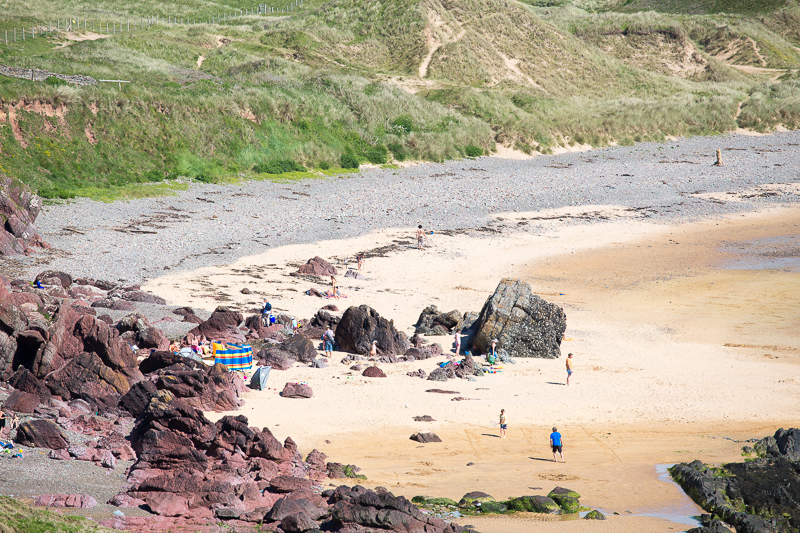
| 15.59 The kids opted for the beach rather than the walk. |
 |
||
|---|---|---|
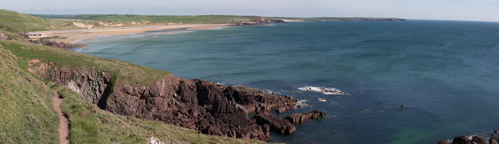
| 16.18 Panorama 113 Looking back at Freshwater West. |
 |
||
|---|---|---|
| 16.29 On the path west. |
 |
||
|---|---|---|
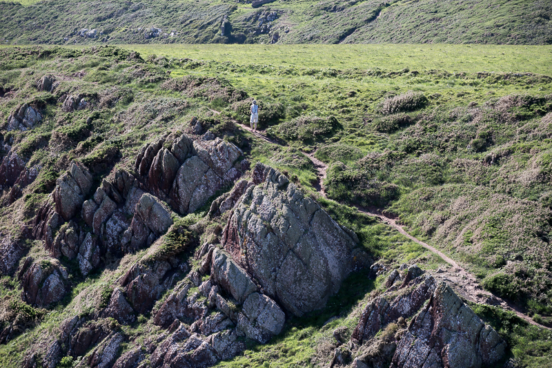
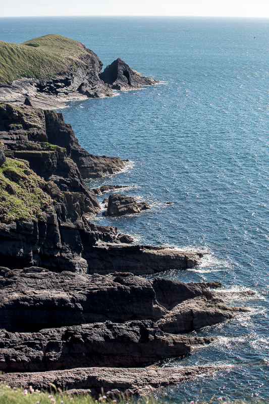
| 16.34 There were some steep bits. |
 |
||
|---|---|---|
| 16.43 . |
 |
||
|---|---|---|
| 16.50 |
 |
||
|---|---|---|
| 17.07 |
 |
||
|---|---|---|
| 17.16 |
 |
||
|---|---|---|
| 17.20 |
 |
||
|---|---|---|
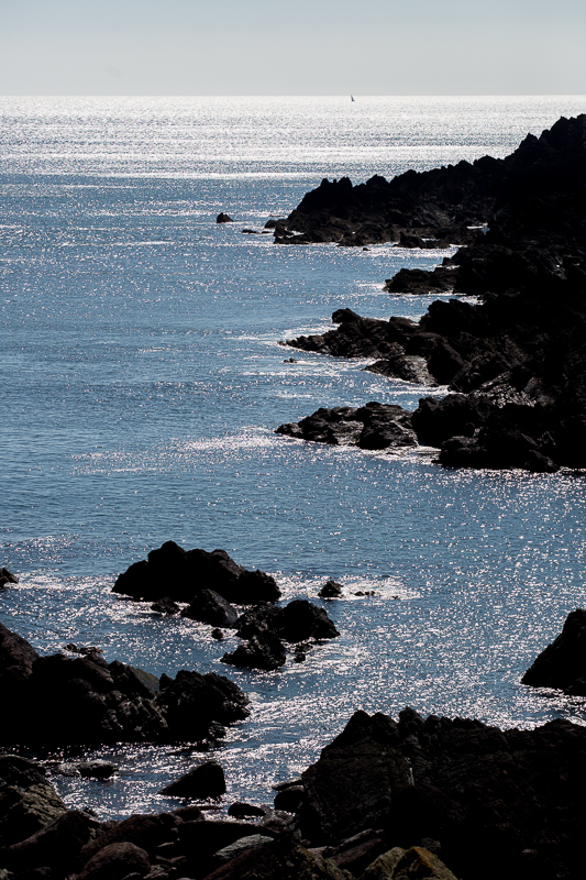
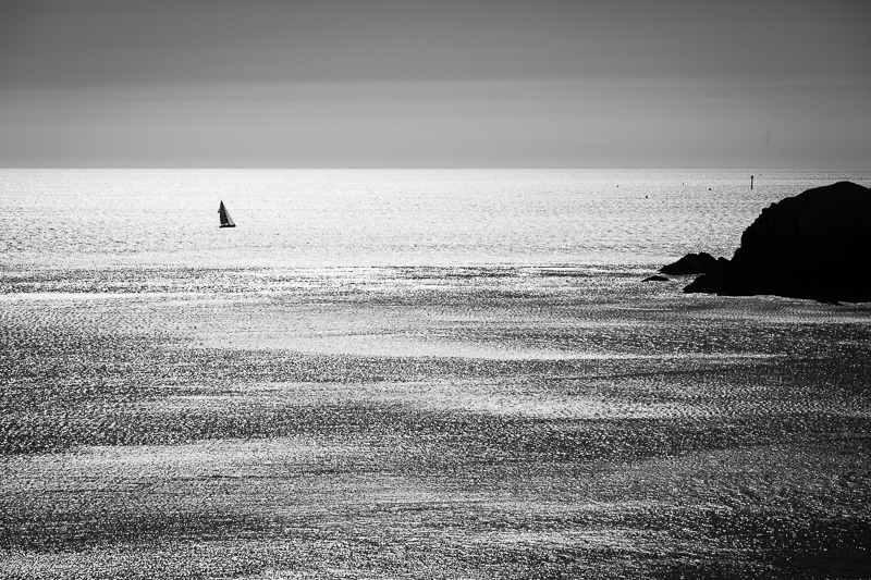
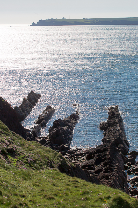
| 17.21 Looking across to St Ann's Head |
 |
||
|---|---|---|
| 17.30 |
 |
||
|---|---|---|
| 17.42 |
 |
||
|---|---|---|
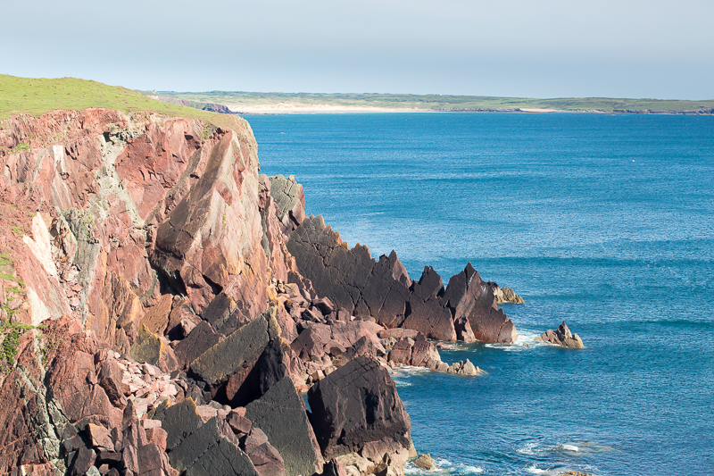
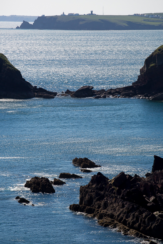
| 17.48 St Ann's Head again. |
 |
||
|---|---|---|
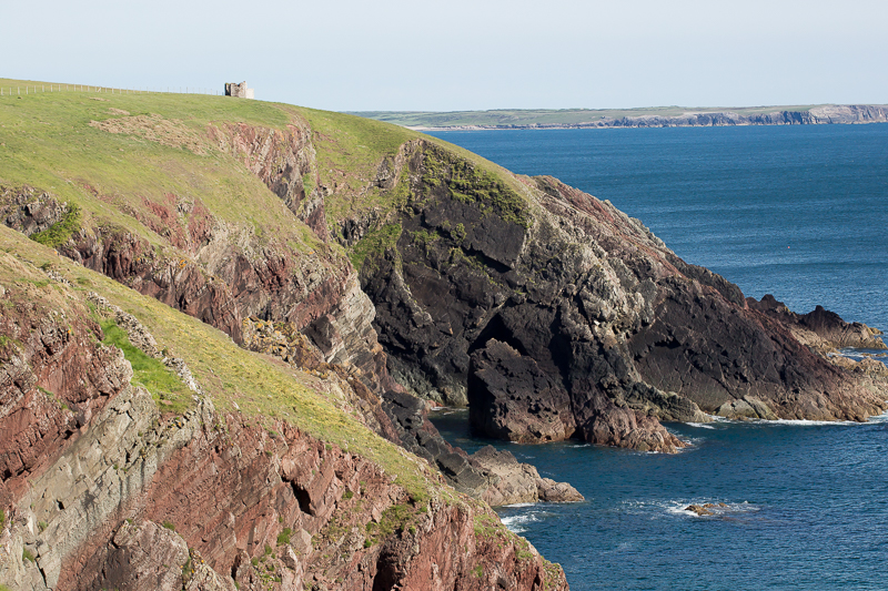
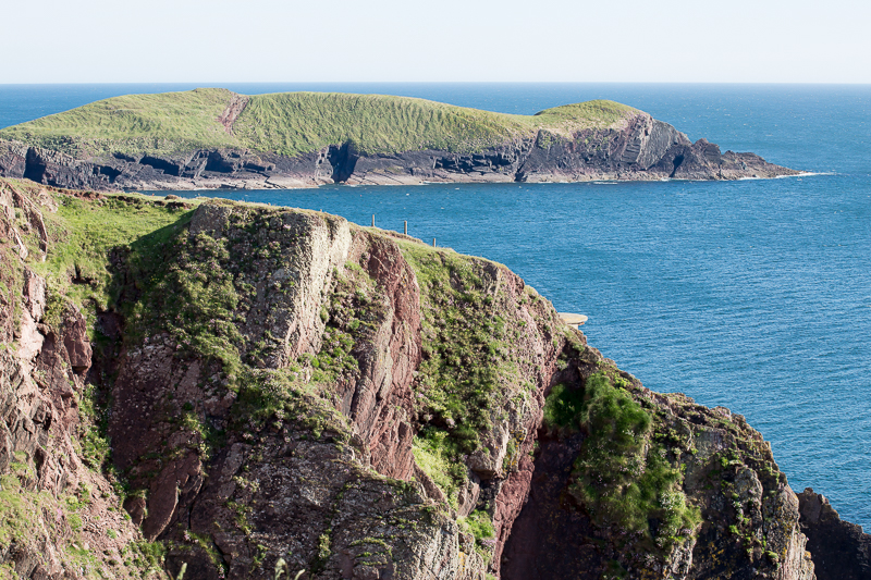
| 17.59 Looking back at Sheep Island. |
 |
||
|---|---|---|
| 18.06 |
 |
||
|---|---|---|
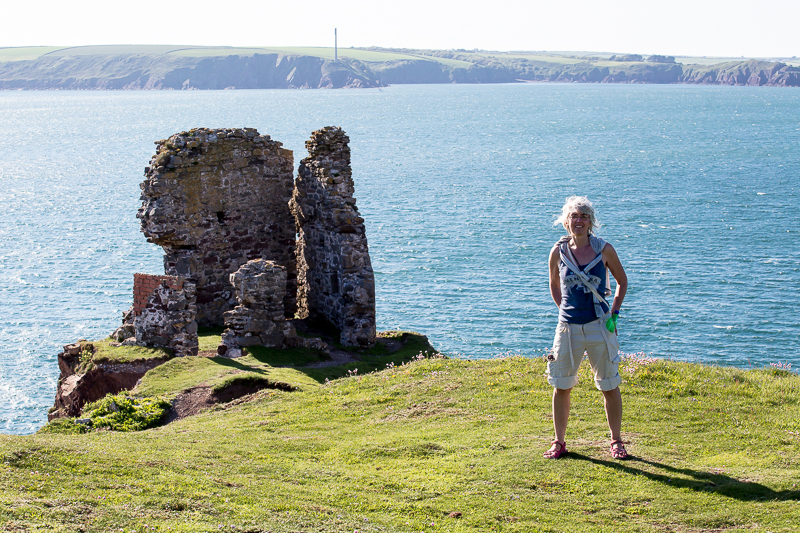
| 18.09 Panorama 114 Castles Bay and Sheep Island. |
 |
|---|

