|
|
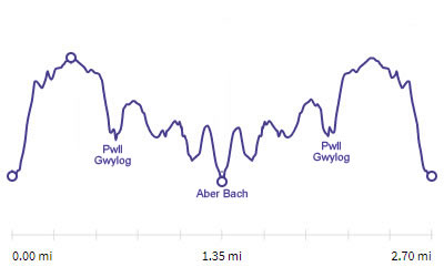
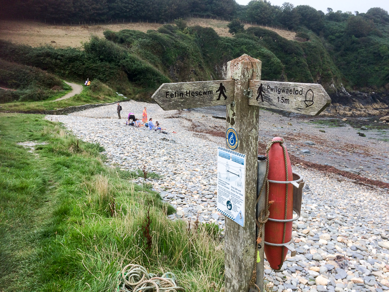
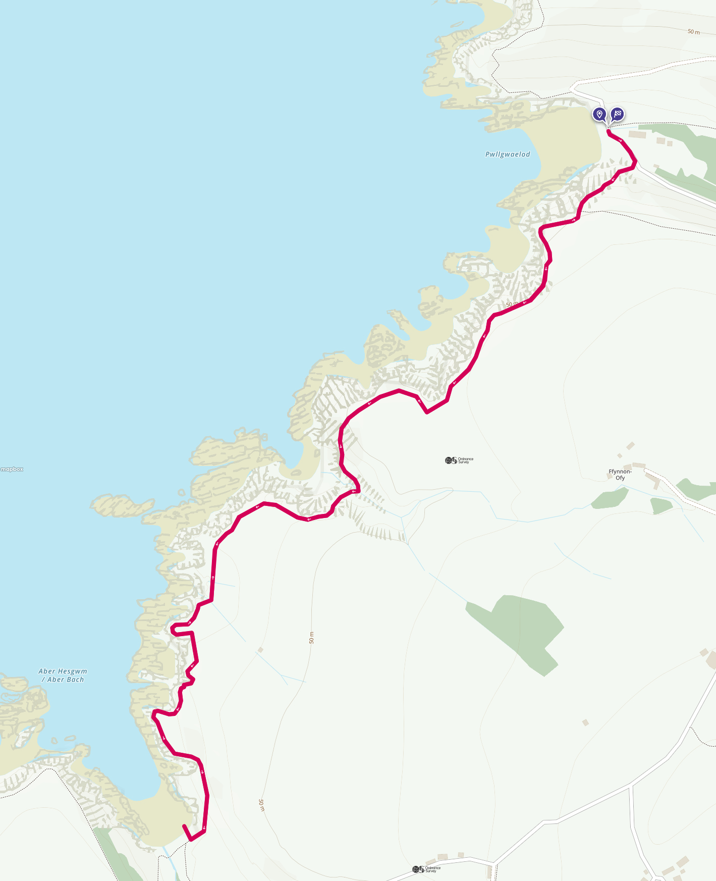
Walk 17 - Pwllgwaelod to Aber Bach and back - 25th August 2021 |
|||
Distance |
2.7 miles |
 |
|
Time |
2.5 hrs |
||
Lowest Point |
Sea level |
||
Highest Point |
205 ft |
||
Total Ascent |
726 ft |
||
Walkers |
A T E N |
||
 |
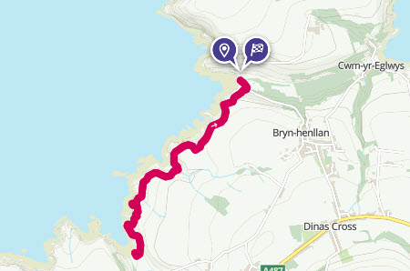
Mini Route Map Go to start on OS map
Go to start on Google
|
 |
|
|---|---|---|---|
 |
||
|---|---|---|
| 17.44 Looking back towards Pwllgwaelod from near Pwll Cwn |
 |
||
|---|---|---|
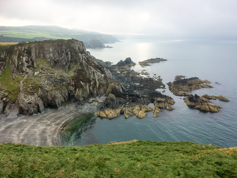
| 17.51 Pwll Gwylog |
 |
||
|---|---|---|
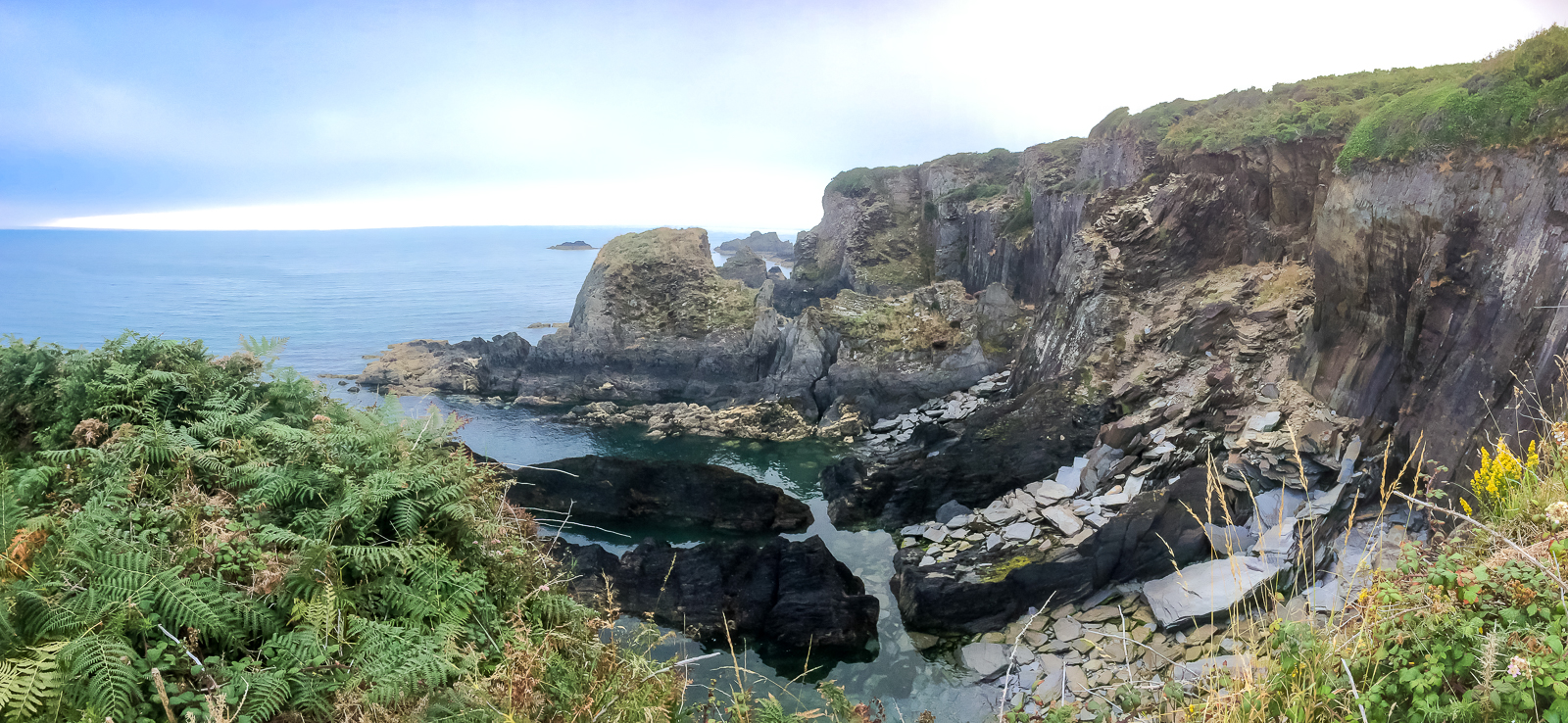
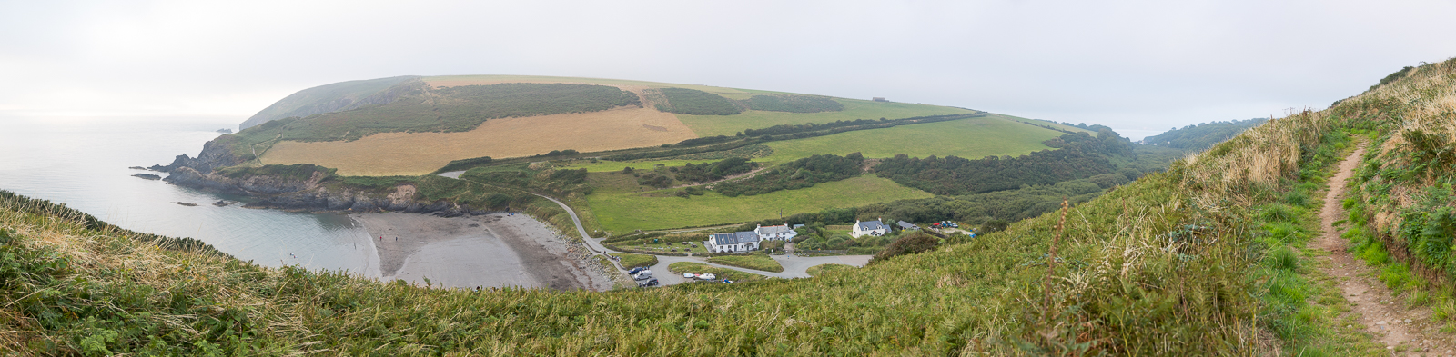
| 17.53 Panorama 551 Pwll Gwlog |
 |
||
|---|---|---|
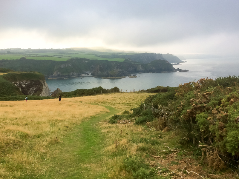
| 18.10 Looking South West towards Fishguard |
 |
||
|---|---|---|
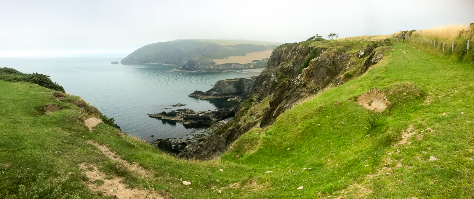
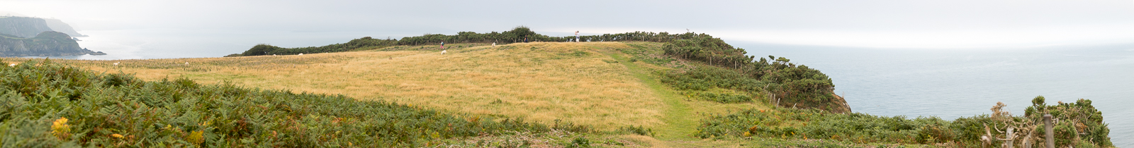
| 18.11 Panorama 552The headland between Pwll Gwlog and Aber Bach. |
 |
||
|---|---|---|
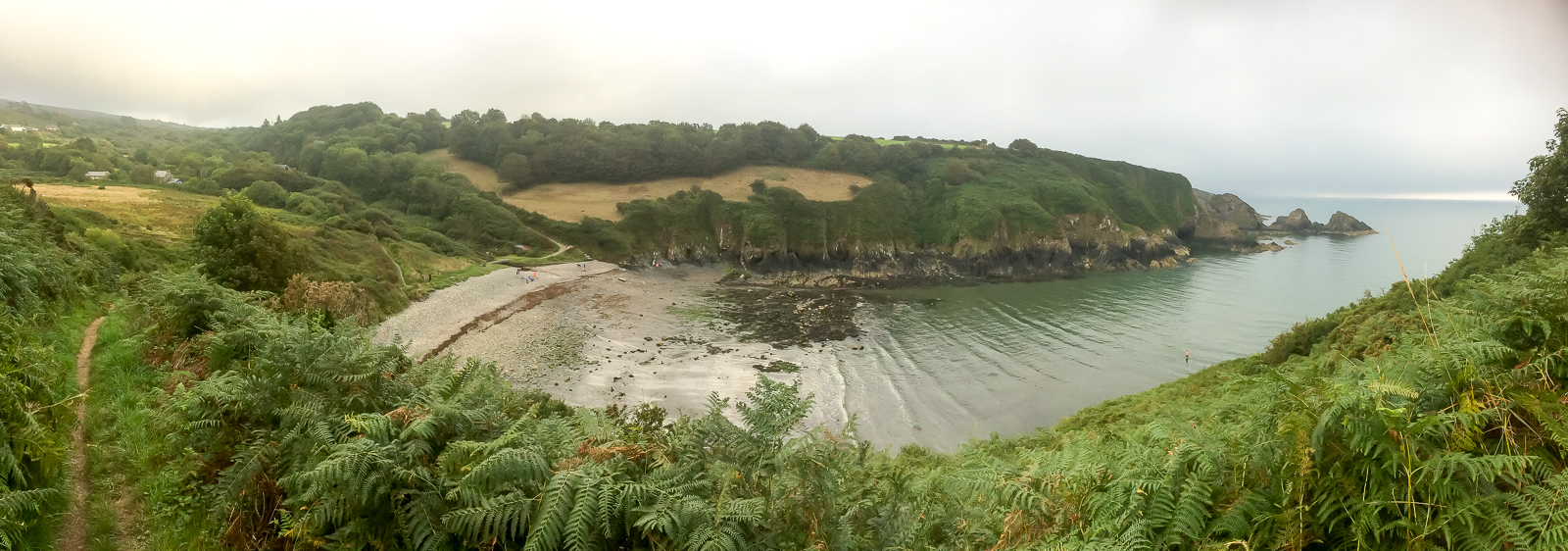
| 18.30 Aber Bach |
 |
||
|---|---|---|
| 18.33 Aber Bach beach. |
 |
||
|---|---|---|
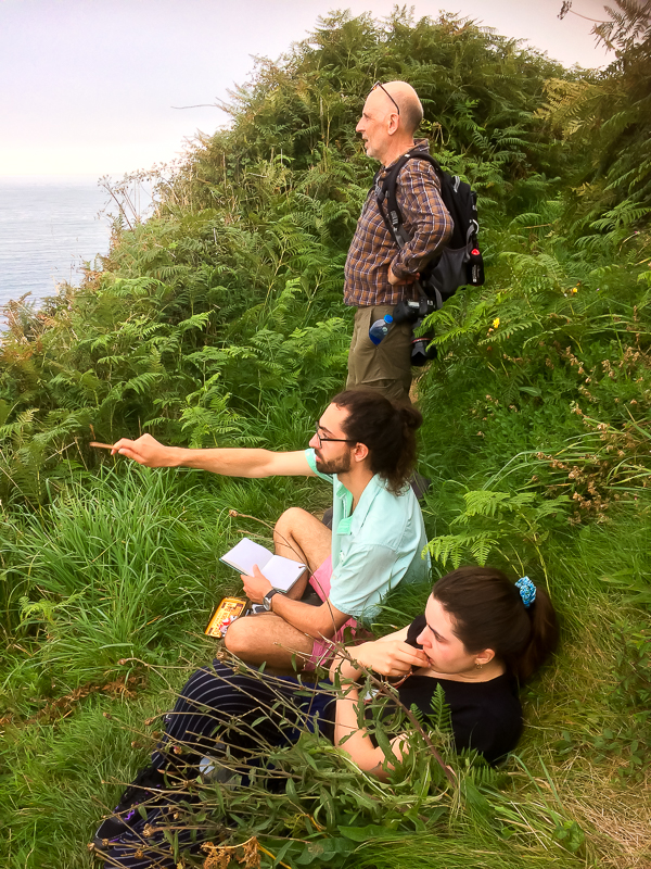
| 18.47 A little drawing practice on the path. |
 |
||
|---|---|---|
| 18.49 Pwll Gwlog on the return. |
 |
||
|---|---|---|
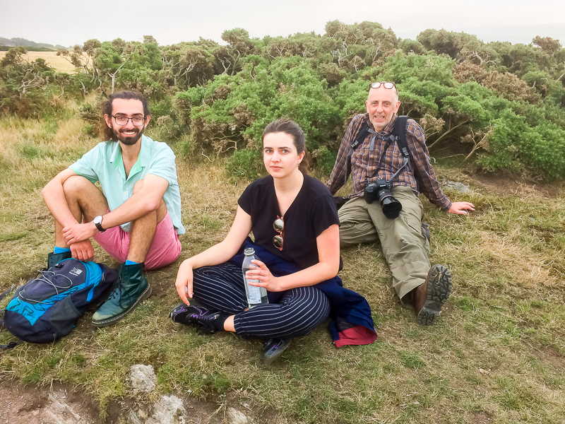
| 19.12 Water break. |
 |
||
|---|---|---|
| 19.37 Panorama 553 Back at Pwllgwaelod with Dinas Head in the background. |
 |
|---|

