|
|
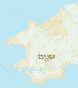
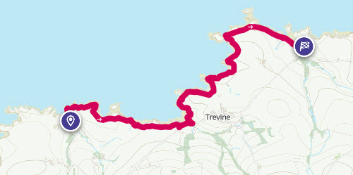
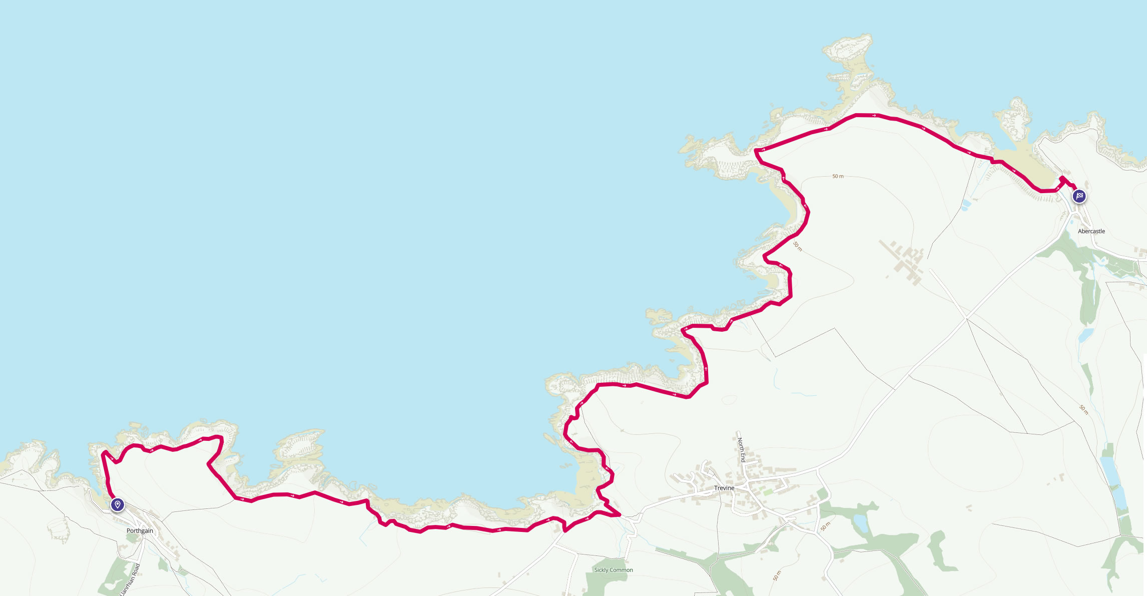
Walk 19 - Porthgain to Abercastle - 31st May 2022 |
|||
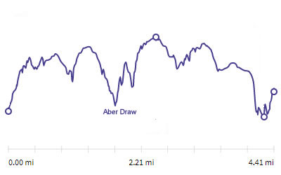
Distance |
4.6 miles |
 |
|
Time |
4 hrs |
||
Lowest Point |
Sea level |
||
Highest Point |
187 ft |
||
Total Ascent |
743 ft |
||
Walkers |
A and E (+T and N) |
||
 |
Mini Route Map Go to start on OS map
Go to start on Google
|
 |
|
|---|---|---|---|
 |
||
|---|---|---|
| 13.08 The start of the walk was a little out of town as the traffic was very busy in Porthgain. After a walk through the town a short way up the path is the northern harbour stone. | ||
 |
||
| 13.12 The south stone is squared and this northern one is rounded. | ||
 |
||
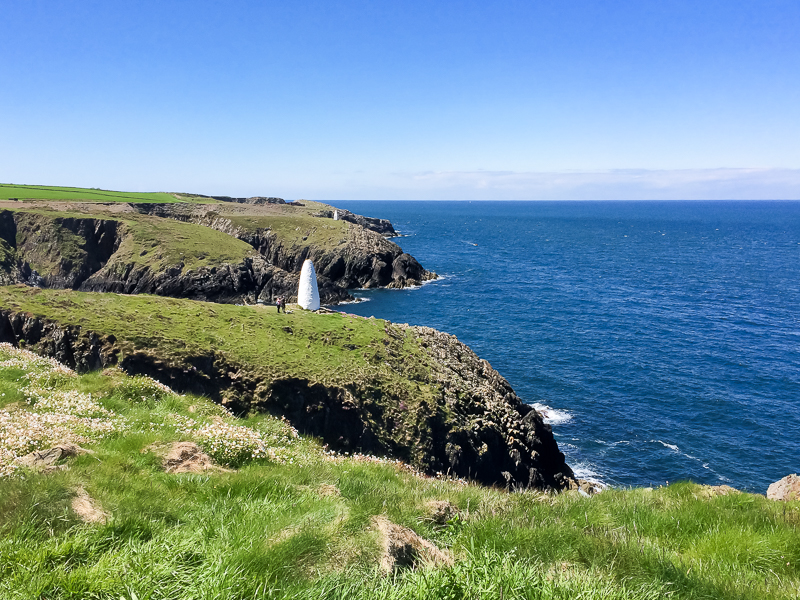
| 13.13 The view north. In the distance is the summit of Garn Fawr near Strumble Head. |
 |
||
|---|---|---|
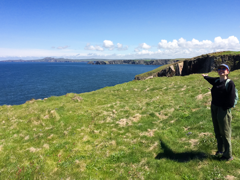
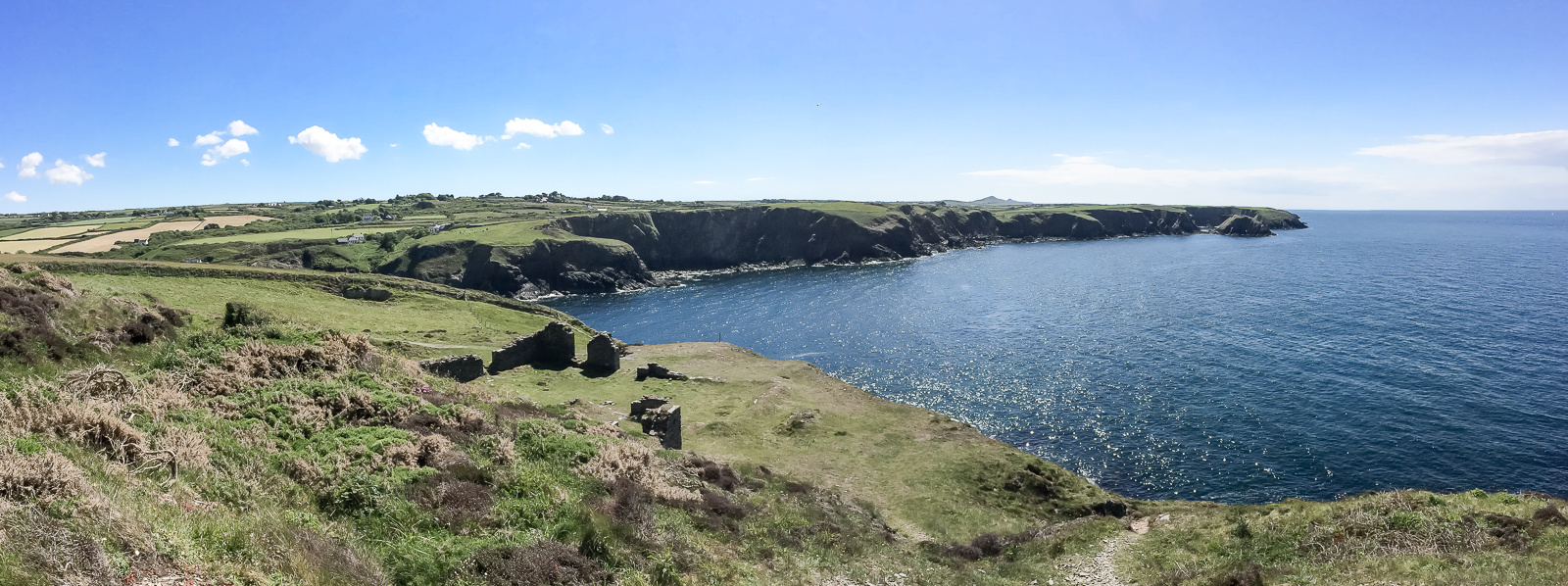
| 13.20 The bay of Gribinau and the small island of Ynys-fach. |
 |
||
|---|---|---|
| 13.46 The bay of Pwll Crochan. |
 |
||
|---|---|---|
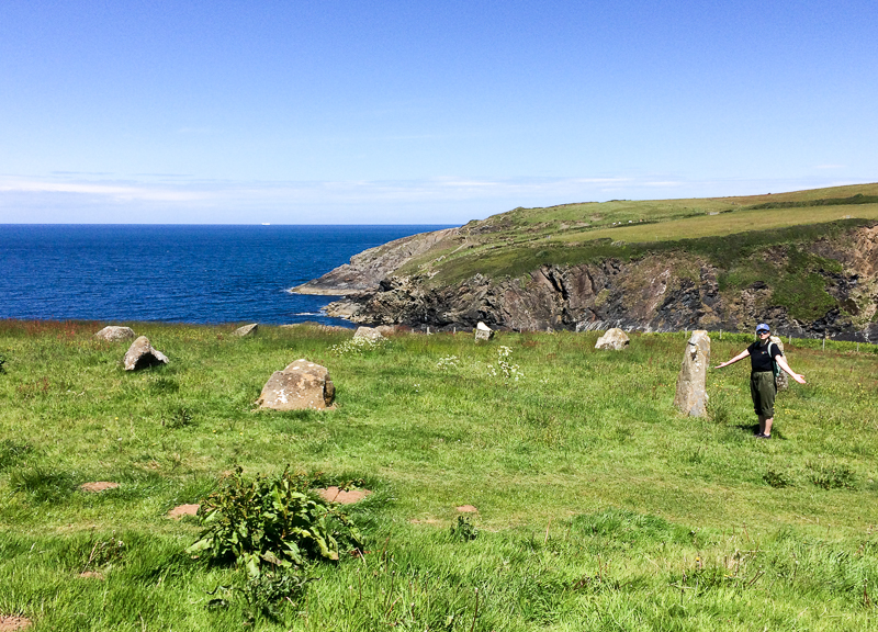
| 13.52 The small stone circle near Trevine. |
 |
||
|---|---|---|
| 13.46 Looking over the bay of Aber draw towards Trevine. |
 |
||
|---|---|---|
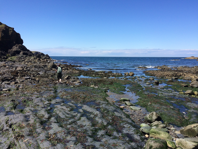
| 14.00 On the beach at Aber Draw. |
 |
||
|---|---|---|
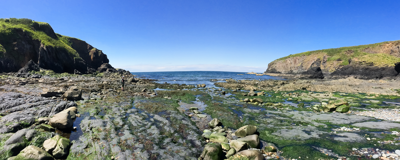
| 14.01 Aber Draw bay near to Trevine. |
 |
||
|---|---|---|
| 14.19 Leaving Aber Draw. |
 |
||
|---|---|---|
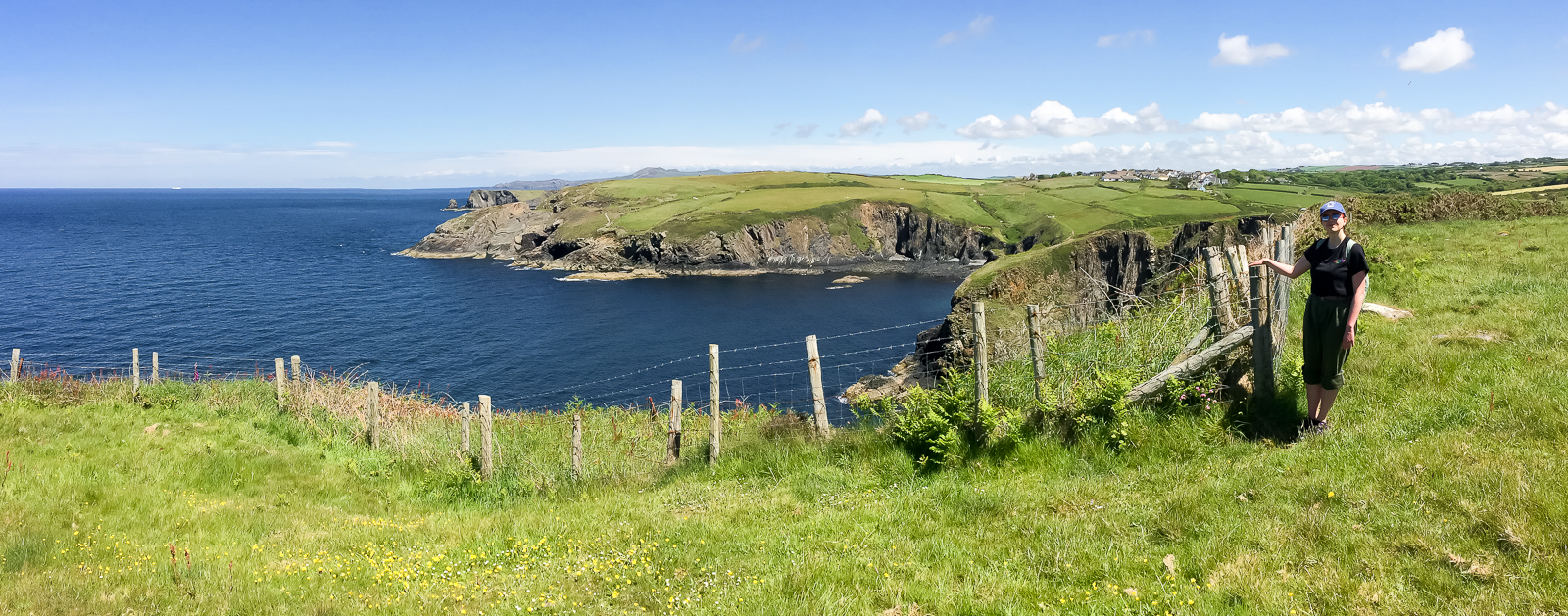
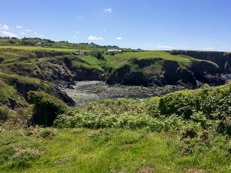
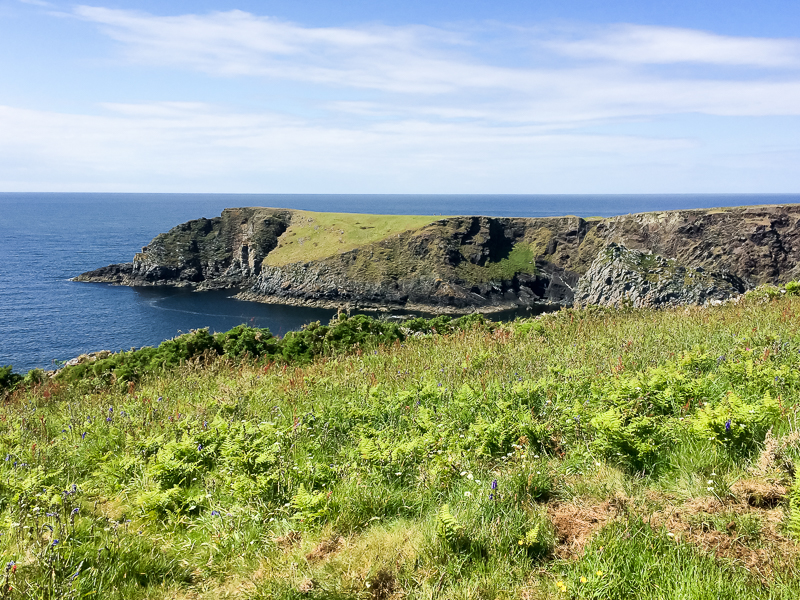
| 15.18 Looking south over Aber Draw. The stone circle is visible in the field above the bay. Penberry is visible in the distance. |
 |
||
|---|---|---|
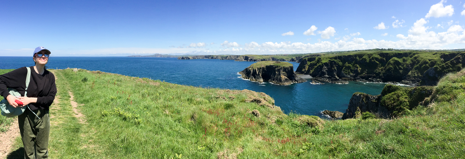
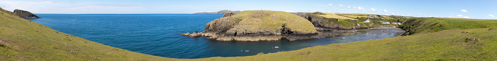
| 15.13 Panorama 688 T Meanwhile T and N are leaving Abercastle. Nick began with a walk up Ynys y Castell. |
 |
||
|---|---|---|
| 15.56 Looking over to Pen Castell-coch. T and N are about halfway across the headland. |
 |
||
|---|---|---|
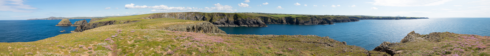
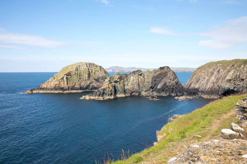
| 16.05 Panorama 689 T and N have reached the headland of Pen Castell-coch. |
 |
||
|---|---|---|
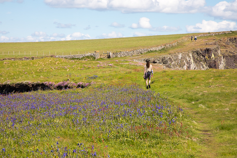
| 16.08 Meeting the walkers. |
 |
||
|---|---|---|
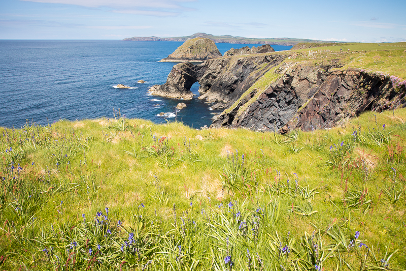
| 16.09 Natural Arch north of Pen Castell-coch. |
 |
||
|---|---|---|
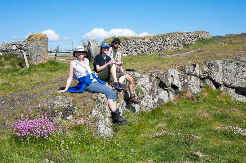
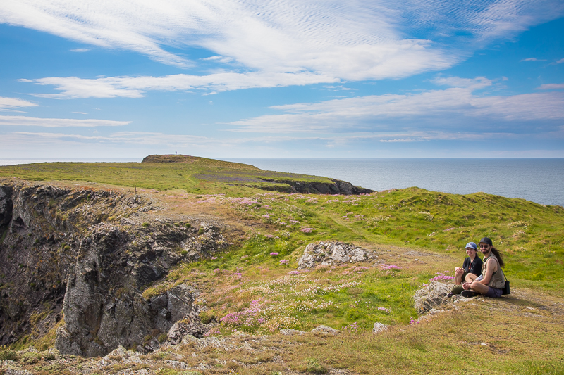
| 16.11 A nice sitting spot right on the path. |
 |
||
|---|---|---|
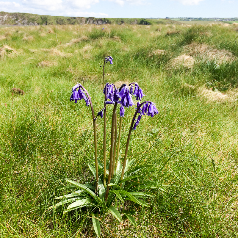
| 16.28 Bluebells. |
 |
||
|---|---|---|
| 16.30 Not everyone wanted to walk to the headland. |
 |
||
|---|---|---|
| x.x The island of Ynys Deullyn as we neared Abercastle. |
 |
 |
|
|---|---|---|
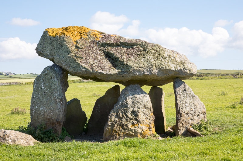
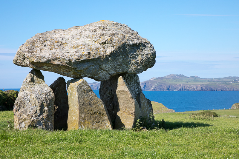
| 17.02 A quick diversion to see Careg Sampson which is about 200m off the track. | ||
 |
||
|---|---|---|
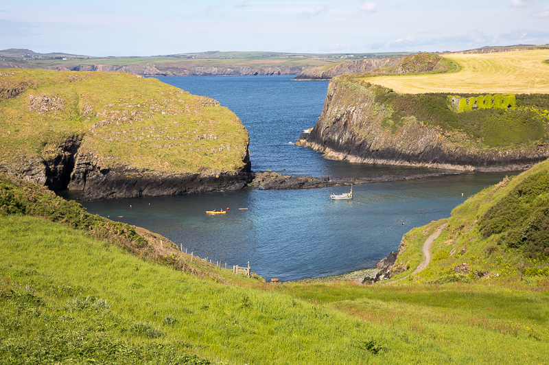
| 17.11 The tide is rising and has nearly made Ynys y Castell inaccesible. |
 |
|---|

