|
|
Walk 20 - Pwll Deri to Aber Mawr - 2nd June 2022 |
|||
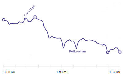
Distance |
3.7 miles |
 |
|
Time |
3 hrs |
||
Lowest Point |
Sea level |
||
Highest Point |
458 ft |
||
Total Ascent |
513 ft |
||
Walkers |
A E N (T) |
||
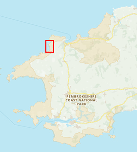 |
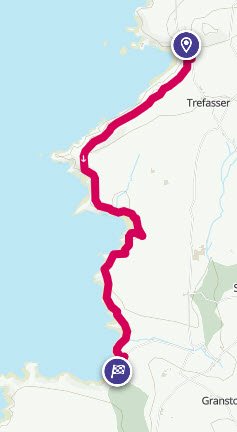
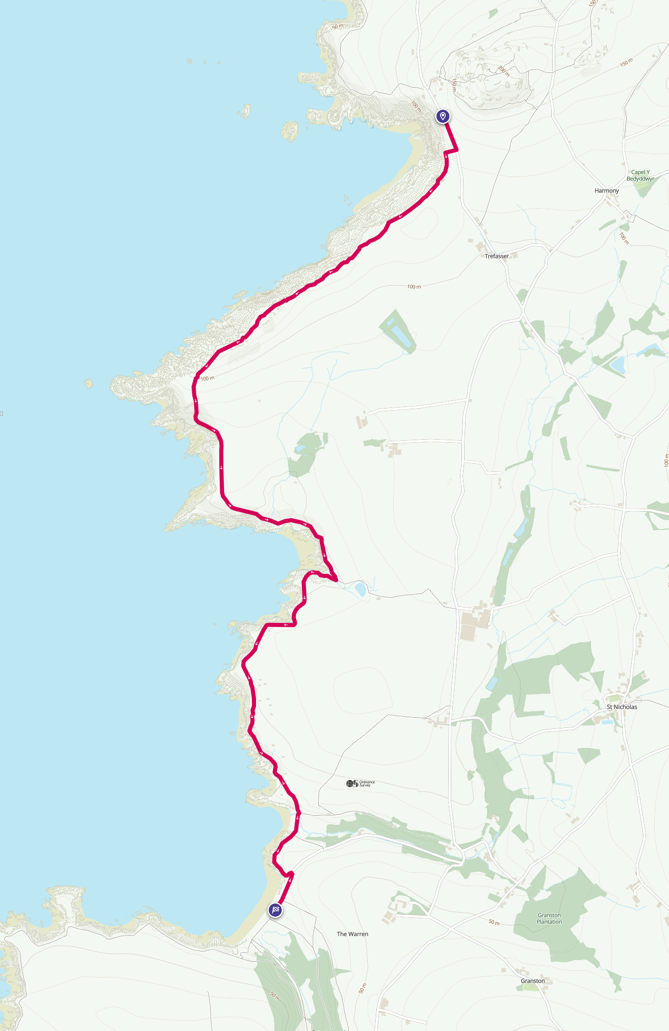
Mini Route Map Go to start on OS map
Go to start on Google
|
 |
|
|---|---|---|---|
 |
||
|---|---|---|
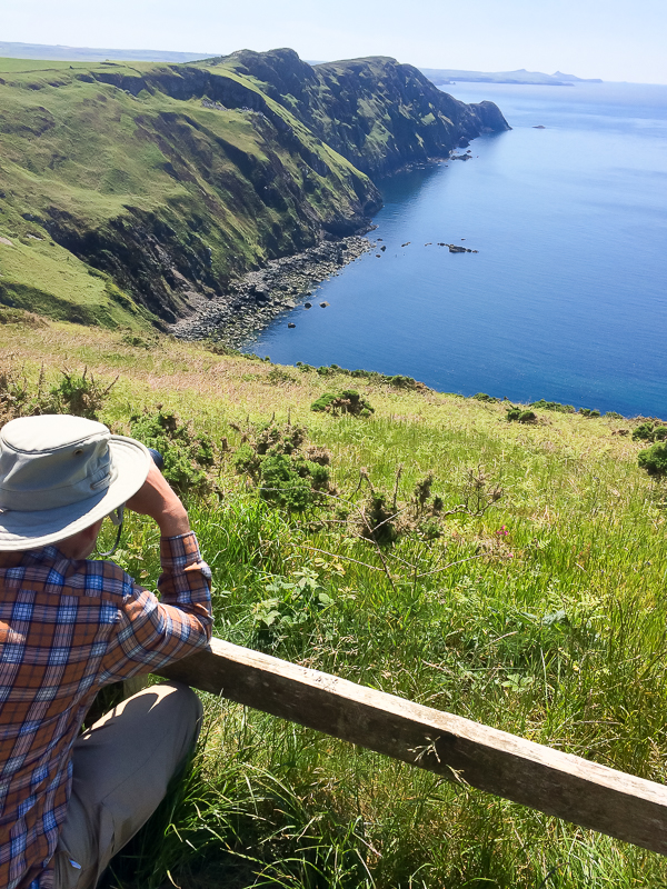
| 14.20 Seal spotting from the Pwll Deri viewpoint. | ||
 |
||
| 14.34 There were two seals basking near the rocks that just out from the shore. | ||
 |
||
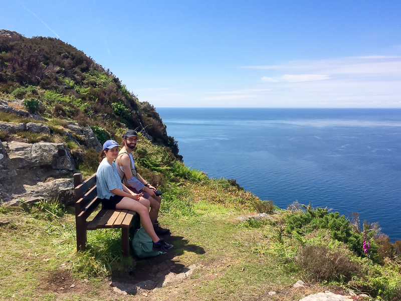
| 14.37 A convenient bench to sit the camera on. |
 |
||
|---|---|---|
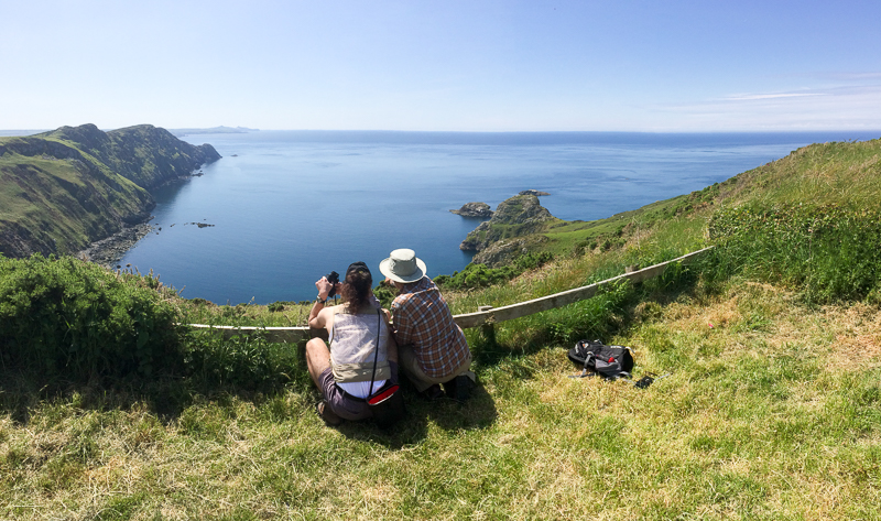
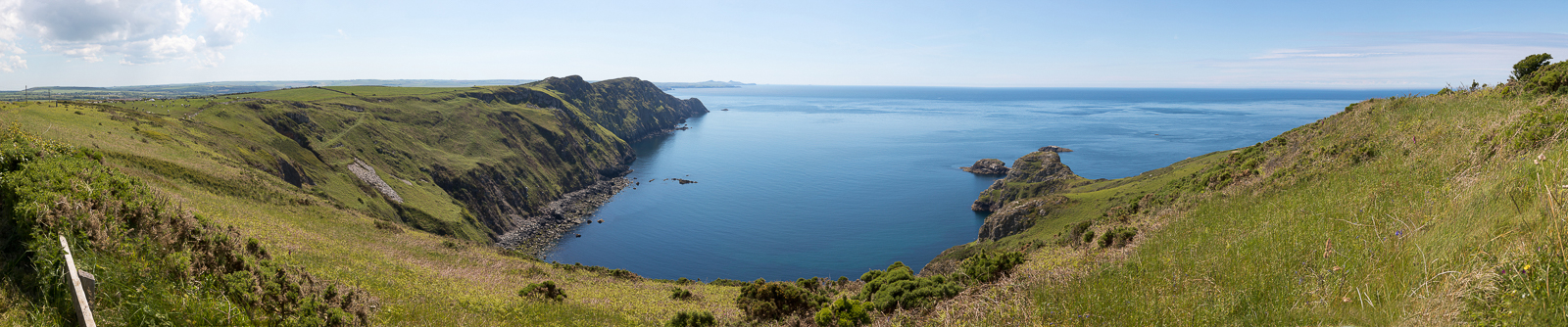
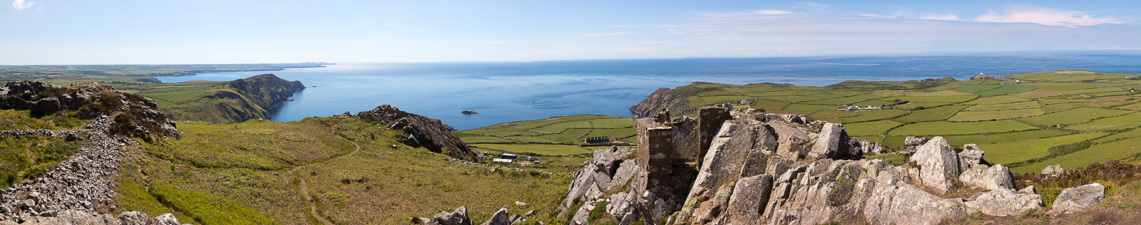
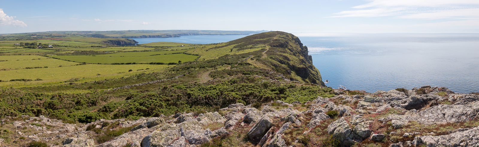
| 14.31 Panorama 691 Pwll Deri bay from the viewpoint. |
 |
||
|---|---|---|
| 14.49 A E N set off along the Coastal Path. The car park and viewpoint are now on the extreme right. |
 |
||
|---|---|---|
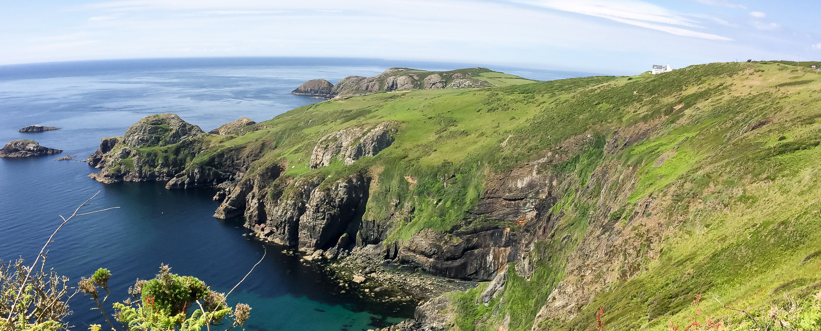
15.21 Panorama 692 Meanwhile Tim has left in the opposite direction and makes it to the top of Garn Fawr. From here on this sequence gets a bit confusing as Tim follows along the ridge for a mile then returns to the car and drives to Aber Mawr. The pictures are in the right order for the main group but Tim's are out of chronological order. |
 |
||
|---|---|---|
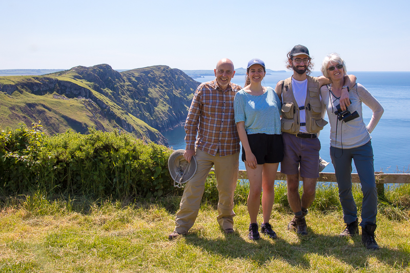
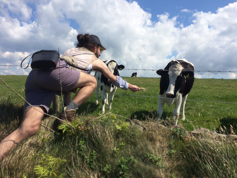
| 14.51 Making friends. |
 |
||
|---|---|---|
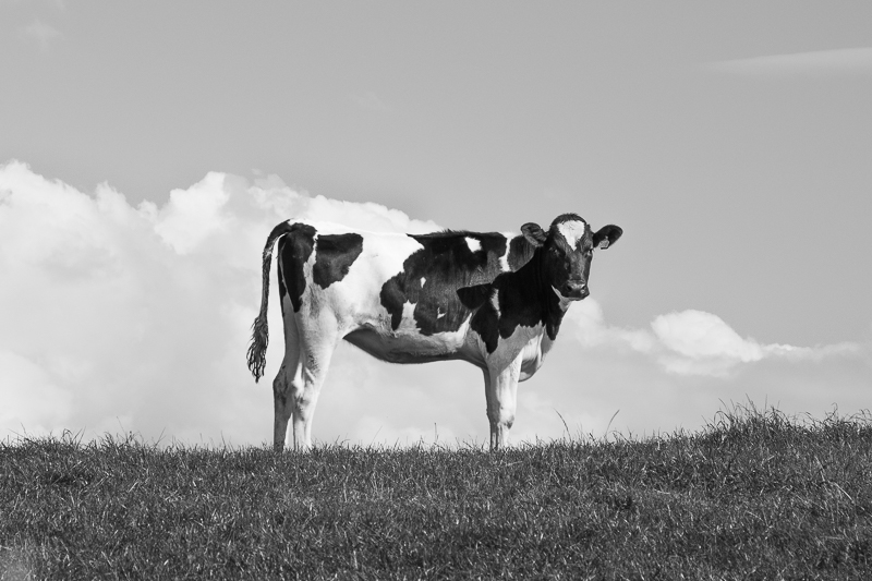
| 17.03 A black and white cow. |
 |
||
|---|---|---|
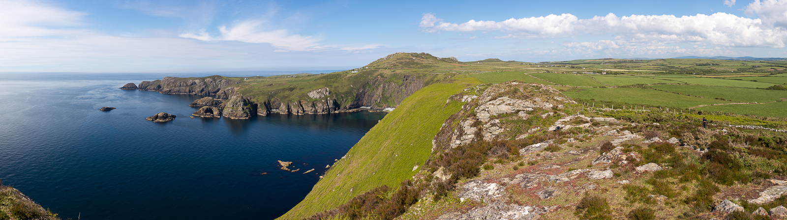
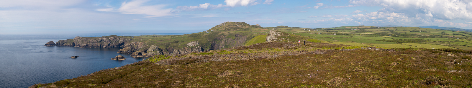
| 16.19 Panorama 693 Along the ridge. |
 |
||
|---|---|---|
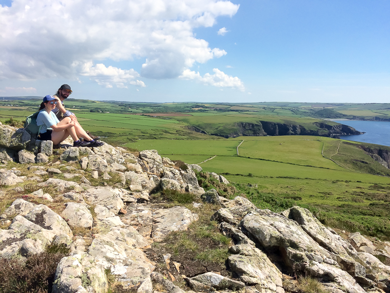
| 15.06 A second viewpoint looking back at the mainland. |
 |
||
|---|---|---|
| 16.47 Tim got here on his way back an hour and a half later. |
 |
||
|---|---|---|
| 16.22 Panorama 693 From Carn Ogof. |
 |
||
|---|---|---|
| 16.32 Panorama 693 Further south on the last summit which is not named. |
 |
||
|---|---|---|
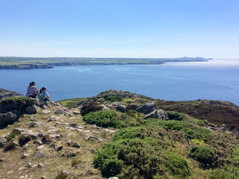
| 15.26 On the southern end of the ridge. Penberry, Carn Llidi and the island of North Bishop in the far distance. | ||
 |
||
| 15.29 The path ahead drops significantly from this point. | ||
 |
||
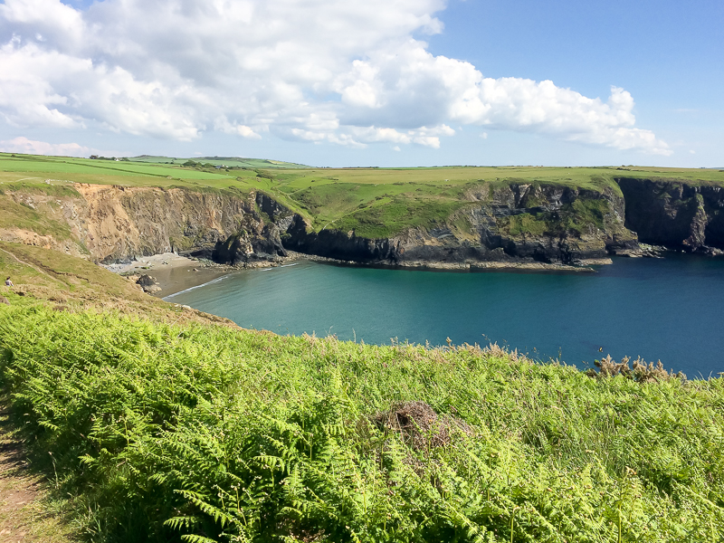
| 16.01 Pwllcrochan. | ||
 |
||
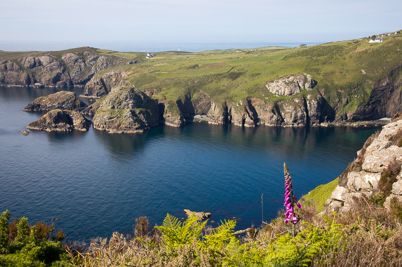
| 16.12 A rather strangely arranged line of rocks above Pwllcrochan bay. That wasn't the only unexpected sight in Pwllcrochan Bay that day. |
 |
||
|---|---|---|
| 17.17 Just after crossing the small beach at Aber Bach. This is a different Aber Bach to the one near Dinas Head. |
 |
||
|---|---|---|
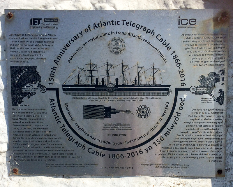
| 17.27 An interesting plaque on a building near the road. |
 |
||
|---|---|---|
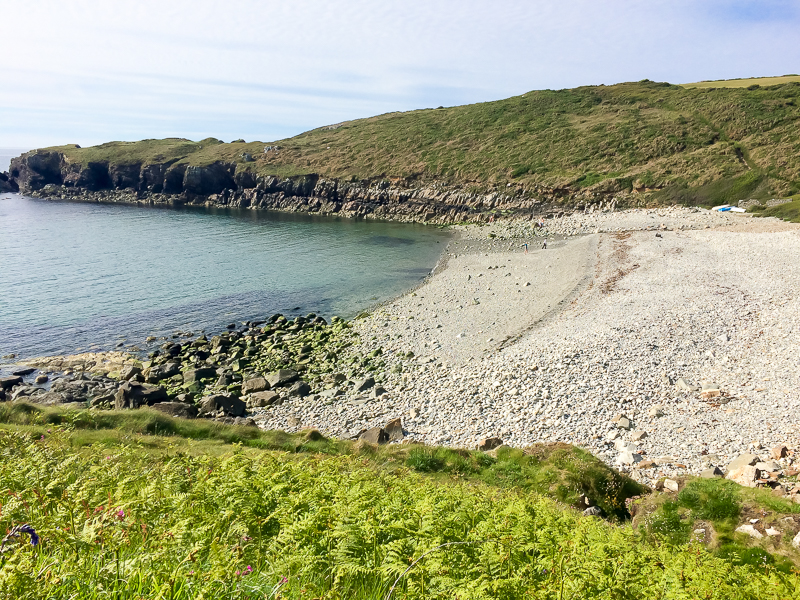
| 17.57 After driving from Pwll Deri we eventually met up again at Aber Mawr beach. |
 |
|---|

