|
|
Walk 9 - Ramsey Island - 1st June 2017 |
|||
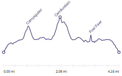
Distance |
4 miles |
 |
|
Time |
4.5 hrs |
||
Lowest Point |
Sea level |
||
Highest Point |
440 ft |
||
Total Ascent |
832 ft |
||
Walkers |
A T E N M C T A |
||
 |
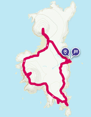
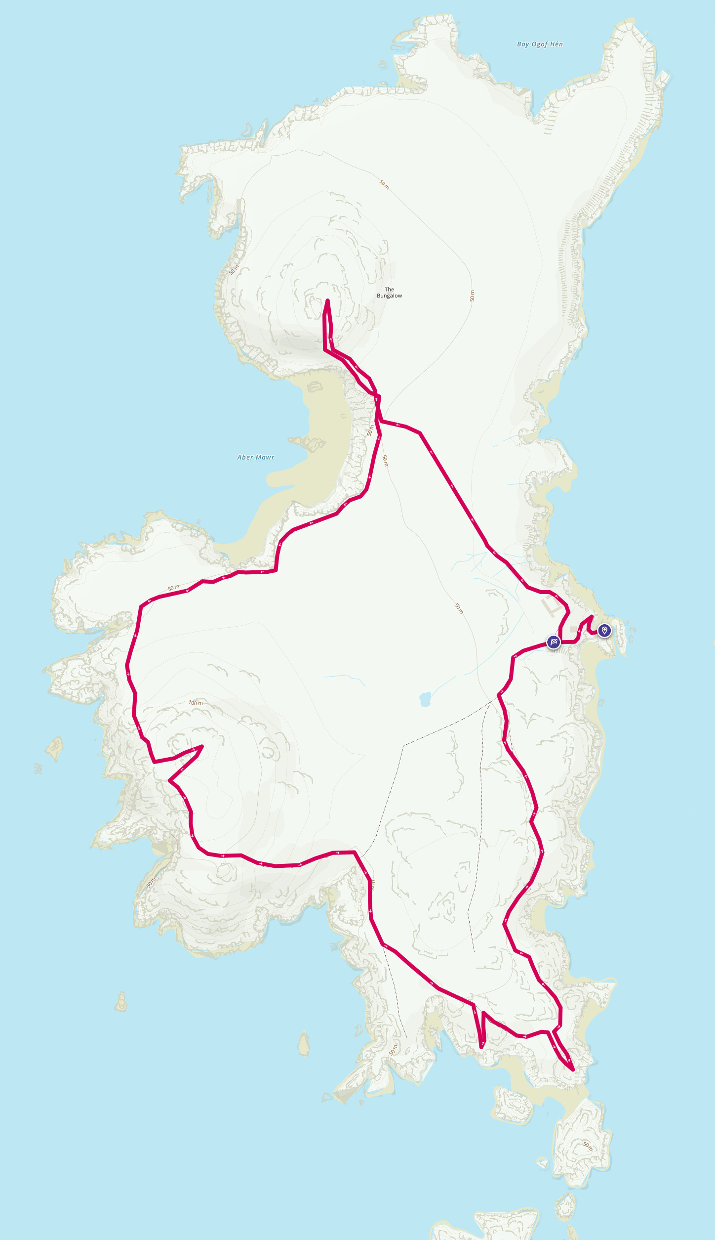
Mini Route Map Go to start on OS map
Go to start on Google
|
 |
|
|---|---|---|---|
 |
||
|---|---|---|
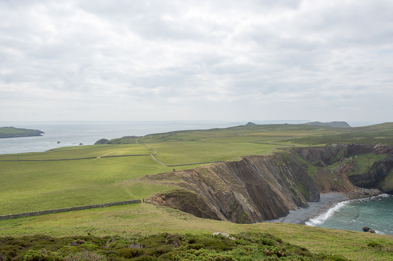
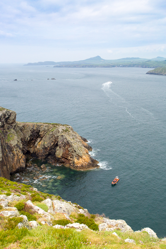
| 9.46 On the cliff just above the landing point. |
 |
||
|---|---|---|
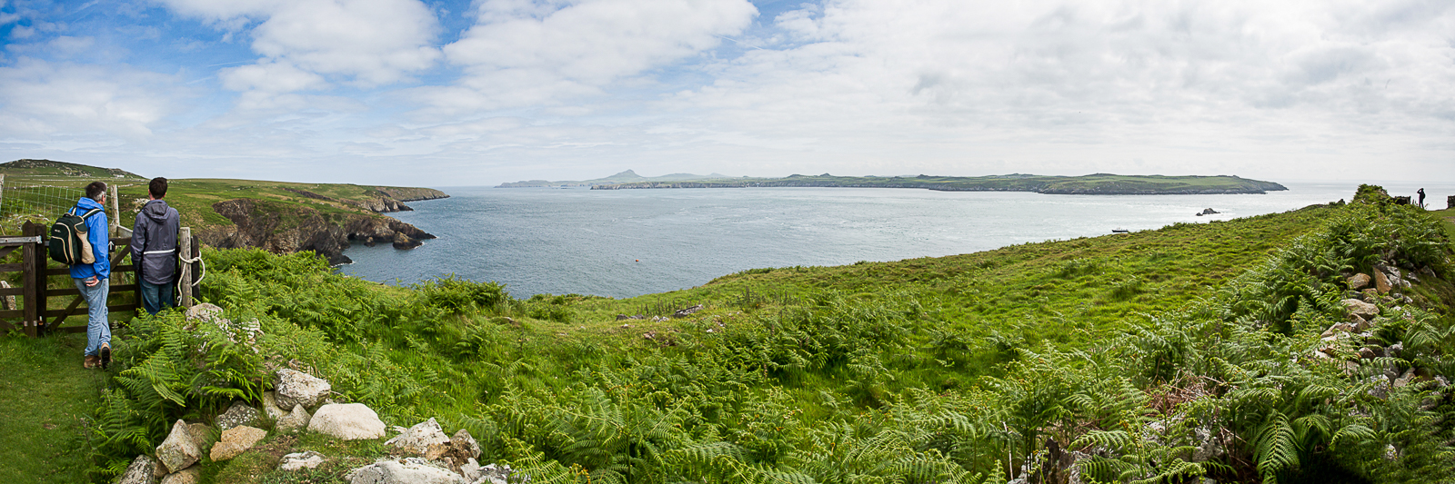
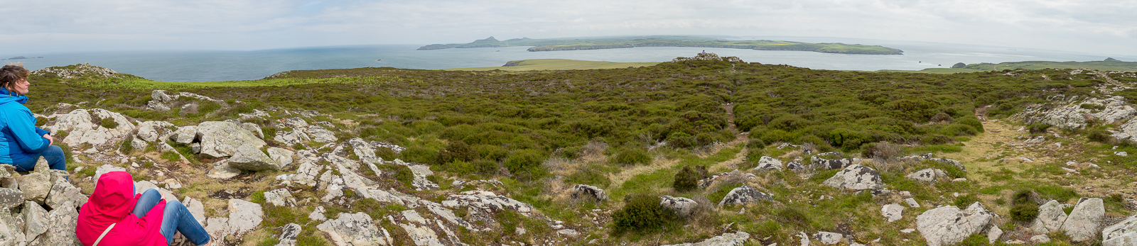
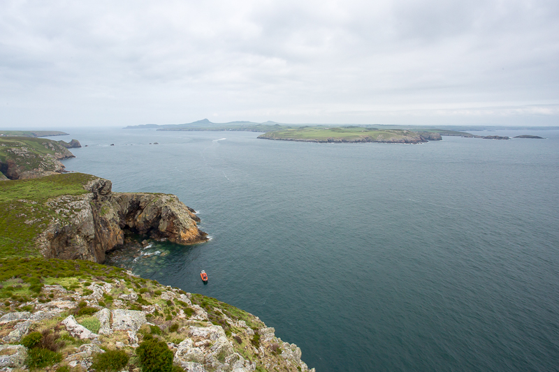
| x.x Panorama 151 Carn Lidi visible on the mainland. |
 |
||
|---|---|---|
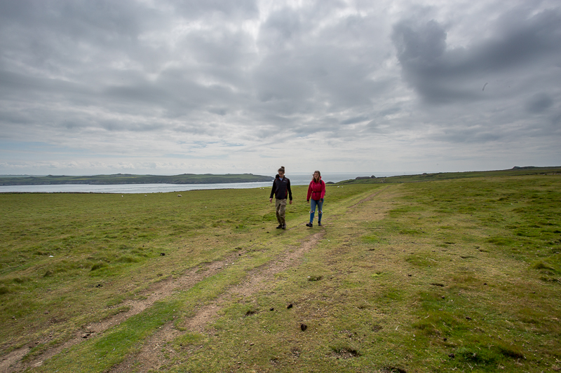
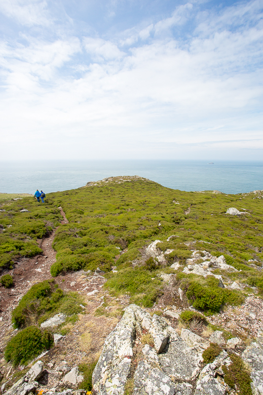
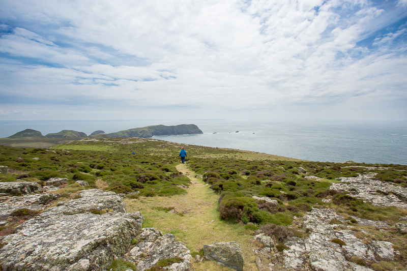
| 9.58 Crossing the centre of the island. | ||
 |
||
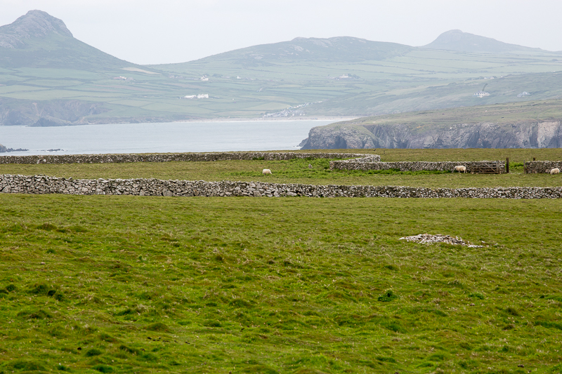
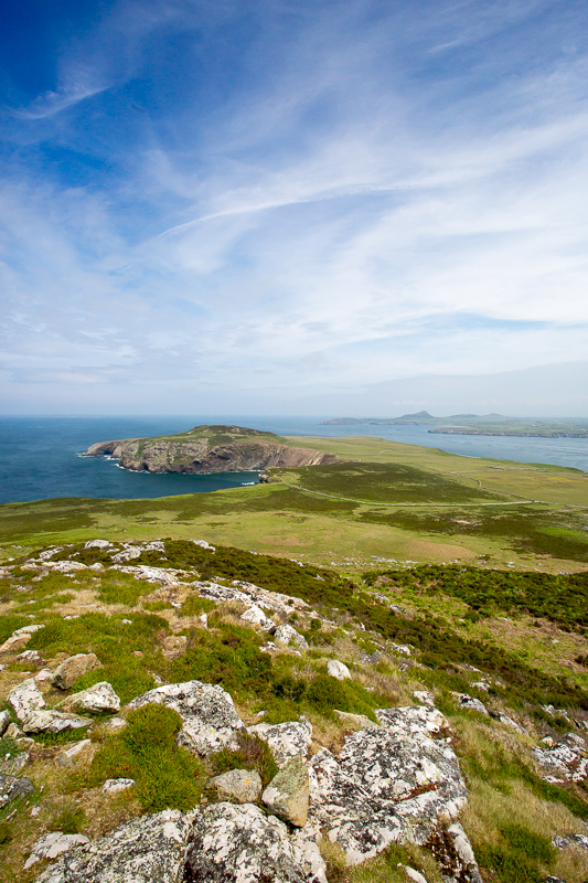
| 10.13 Ramsey Island also has a bay called Aber Mawr. |
 |
||
|---|---|---|
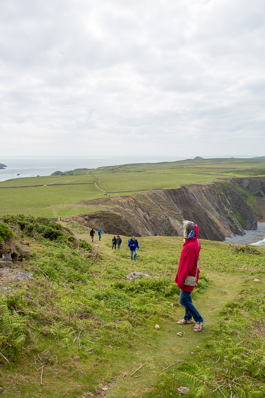
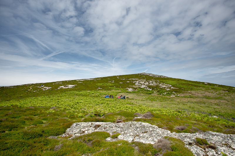
| 10.19 Ascending the side of Carnysgubor. | ||
 |
||
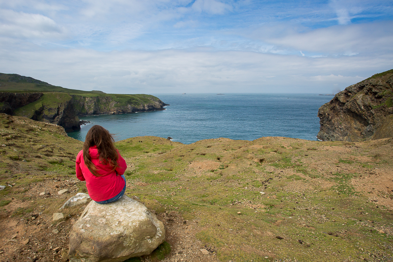
| 10.20 Looking back the way we have come. |
 |
||
|---|---|---|
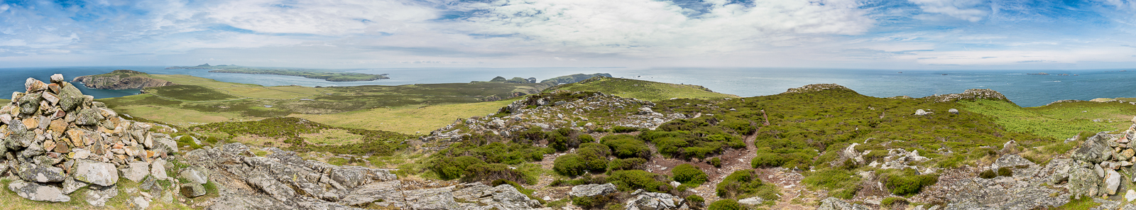
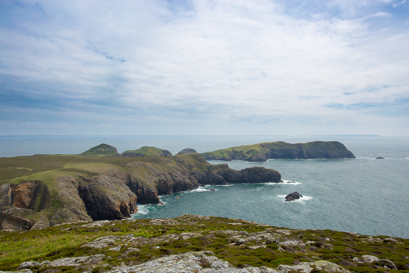
| 10.31 Panorama 152 Carnysgubor summit |
 |
||
|---|---|---|
| 10.53 Zoomed in view of Carn Lidi and Penberry. | ||
 |
||
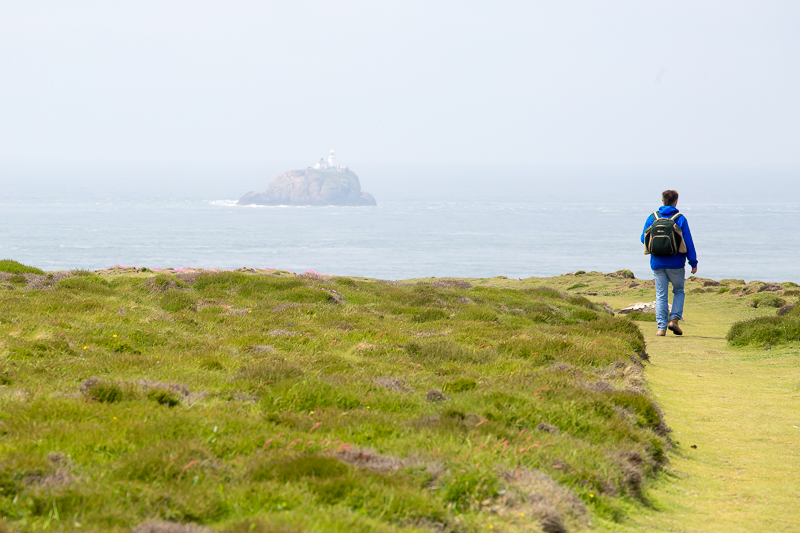
| 11.25 Walking south with South Bishop lighthouse in the distance. | ||
 |
||
| 11.55 On the side of Carnllundain. |
 |
||
|---|---|---|
| 11.57 Panorama 153 Carnllundain summit view. |
 |
||
|---|---|---|
| 11.58 Looking north from Carnllundain summit. |
 |
||
|---|---|---|
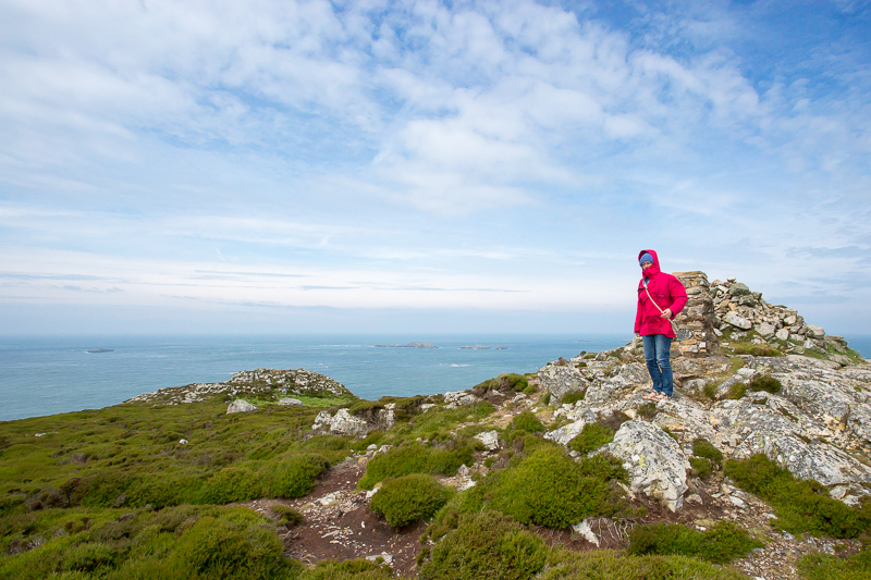
| 11.59 Carnllundain summit. |
 |
||
|---|---|---|
| 12.06 Walking south from Carnllundain. |
 |
||
|---|---|---|
| 12.28 Lunch stop below an unnamed summit 1/4mile south of Carnllundain. |
 |
||
|---|---|---|
| 12.30 The southern coat of the island. |
 |
||
|---|---|---|
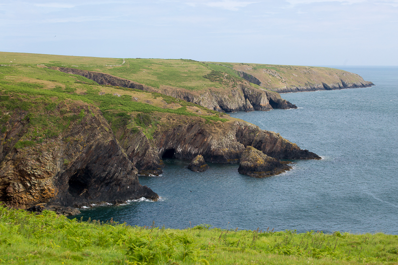
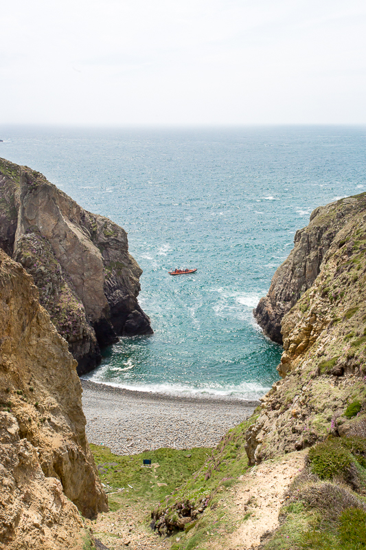
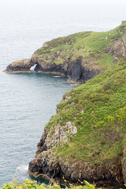
| 12.59 The path passes an interesting section of coast with arches and caves |
 |
 |
 |
|
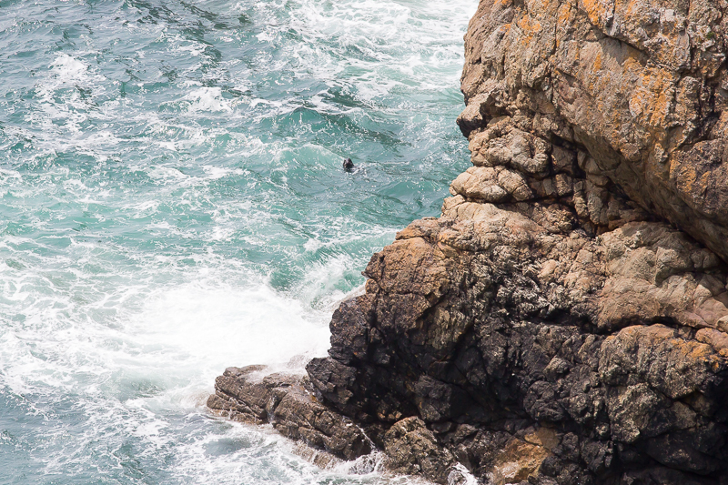
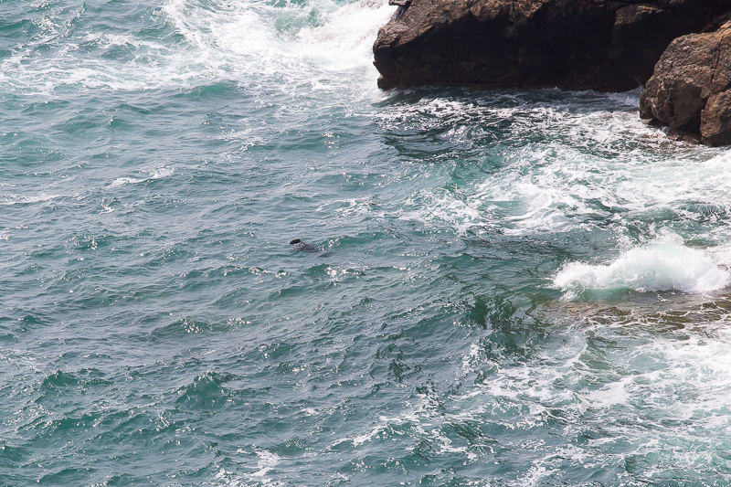
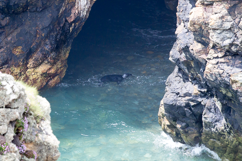
| 13.13 Seal spotting from the cliff. | 13.13 Very clear water gives us a better view. | 13.17 A different one in a cave below us. |
 |
||
|---|---|---|
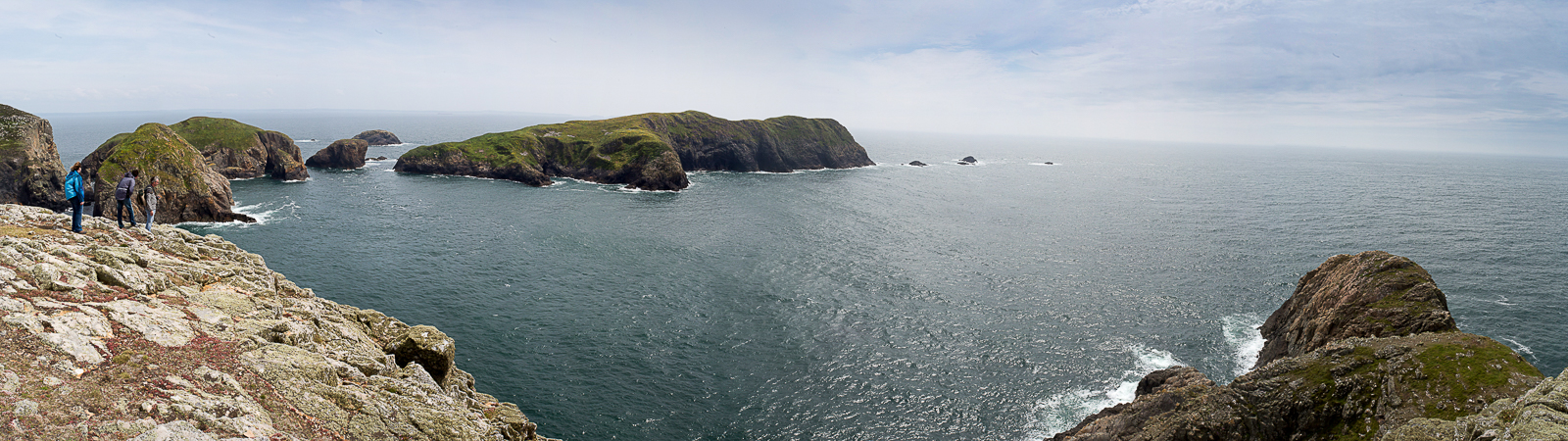
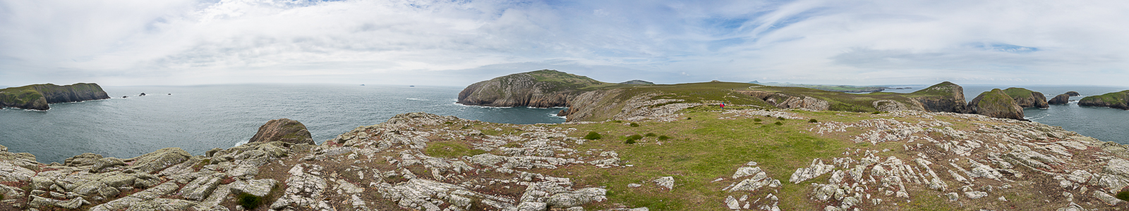
| 13.29 Panorama 154 Clifs at the southern end overlooking the large island of Ynys Bery. |
 |
||
|---|---|---|
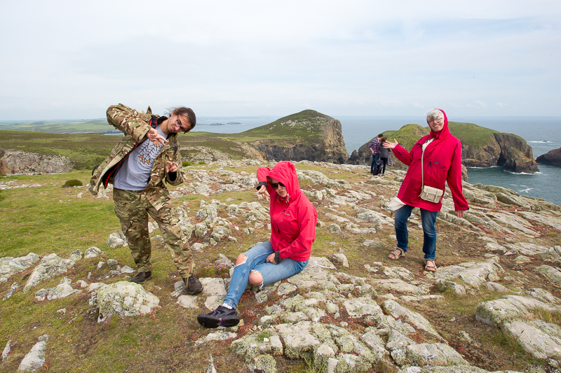
| 13.35 Stylin' it on the cliffs. |
 |
||
|---|---|---|
| 13.36 Panorama 155 Looking north. |
 |
||
|---|---|---|
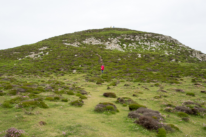
| 13.45 Climbing the small but steep lump of Foel Fawr. |
 |
||
|---|---|---|
| 13.50 From Foel Fawr summit looking south. |
 |
||
|---|---|---|
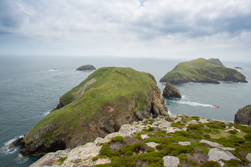
| 13.51 From Foel Fawr summit looking north. |
 |
||
|---|---|---|
| 13.52 From Foel Fawr summit looking north wide angle. |
 |
||
|---|---|---|
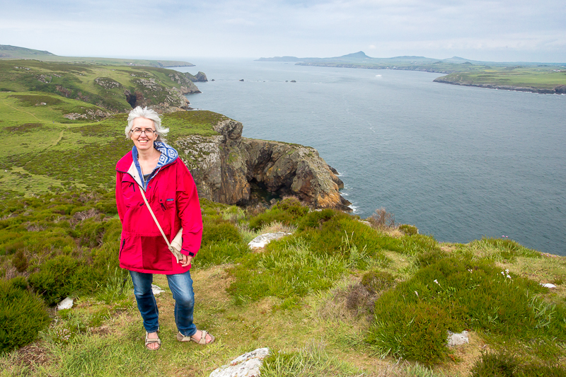
| 13.52 From Foel Fawr summit looking north with attractive model. |
 |
||
|---|---|---|
| 14.04 Arch near Foel Fawr. |
 |
 |
 |
|
| 14.09 | 14.09 | 14.10 |
 |
|---|

