


|
|
|
Walk 103 - Caw Fell - 20th June 2026 |
||||
Wainwright's Walking Guide to the Lake District Fells - Book 7 The Western Fells |
||||
Haycock 2615 ft |
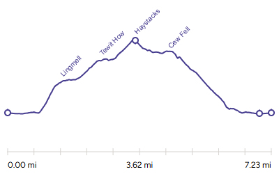 |
Distance |
7.2 miles |
|
Time |
6 hrs |
|||
Lowest Point |
386 ft |
|||
Highest Point |
2615 ft |
|||
Total Ascent |
2542 ft |
|||
Walk Rating - moderate |
||||
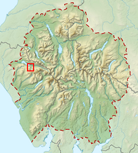 |
Mini Route Map Go to walk start
|
 |
|---|
| Route Description | ||
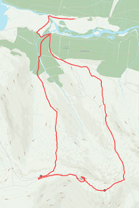
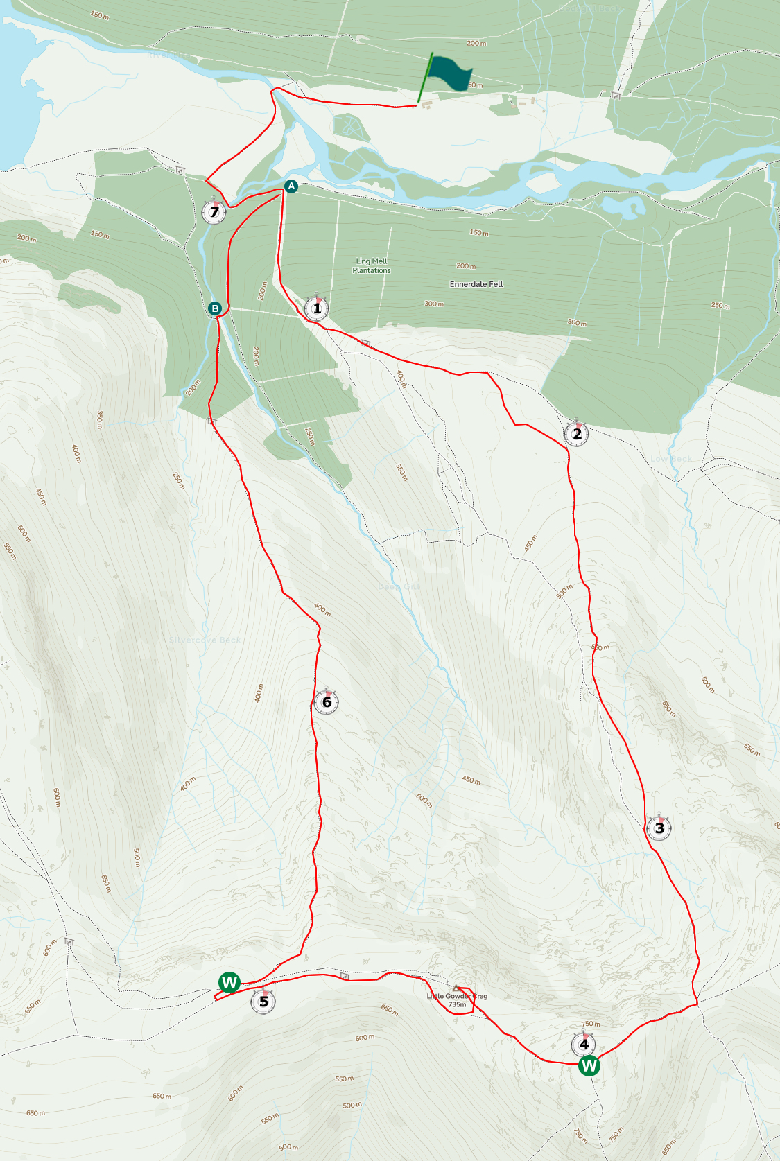
This route started from Low Gillerthwaite Field Centre where I was staying but Bowness car park would be a more common start (although that is longer). After crossing the valley floor it goes left along the south side of the valley for a short way before turning right at |
||
 |
||
|---|---|---|
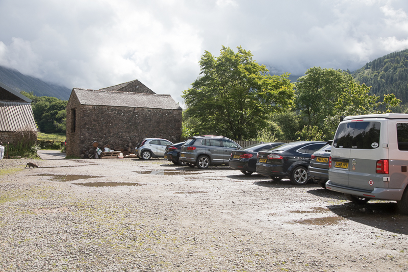
| 10.58 Leaving Low Gillerthwaite Field Centre car park. |

|
||
|---|---|---|
| 11.17 Panorama 1270 Crossing a field in Ennerdale on a beautiful morning. |
 |
||
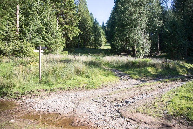
At  . The path up to Lingmell is directly ahead and the return road is on the right. |
 |
||
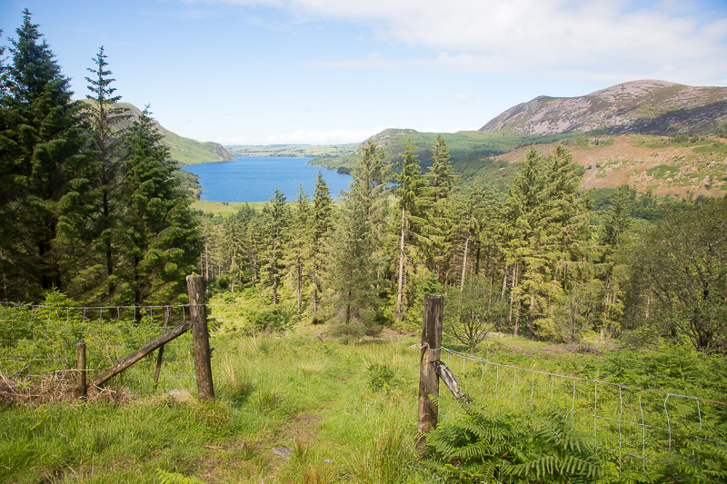
| 11.46 Climbing up through the trees. |
|
||
|---|---|---|
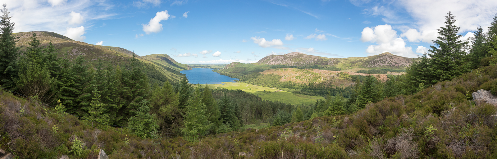
| 11.56 Panorama 1271 Shortly after the trees you reach a rocky section. |
 |
||
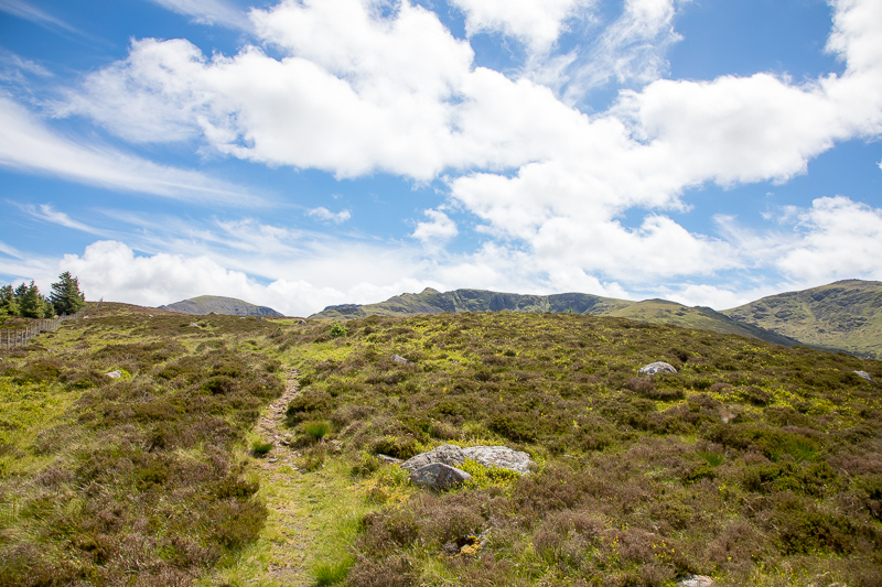
| 12.23 Reaching the top of the climb up Lingmell |
 |
||
|---|---|---|
| 12.34 Panorama 1203 At the first low summit point of Lingmell. |

|
||
|---|---|---|
| 12.45 Panorama 1204 There is anoher summit a little further back that is slightly higher. |
 |
||
|---|---|---|
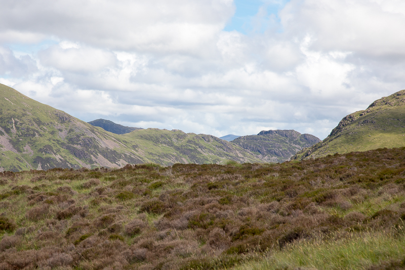
| 13.01 Looking along Ennerdale towards Haystacks. |
 |
||
|---|---|---|
| 13.23 Steeple |

|
||
|---|---|---|
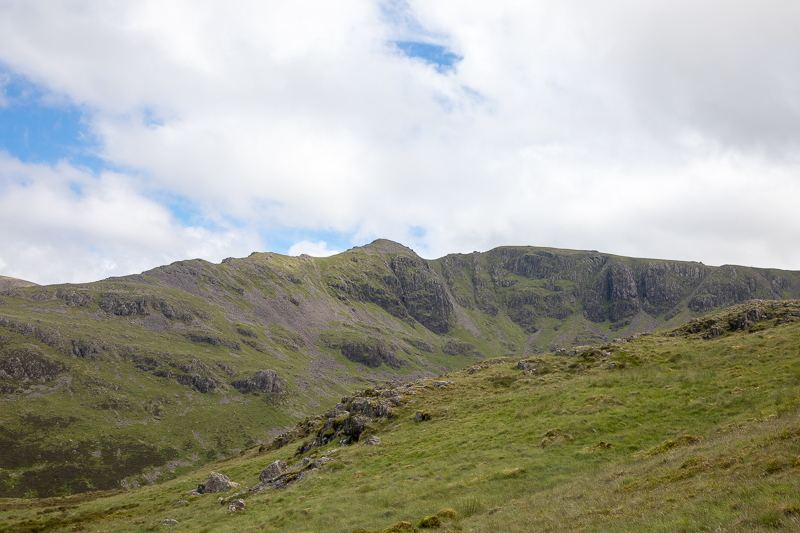
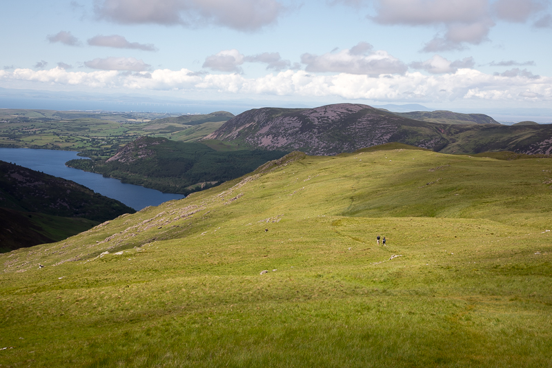
| 13.35 Panorama 1205 On the modest summit of Tewit How.Tewit How in front of Great Borne. |
 |
||
|---|---|---|
| 14.02 |

|
||
|---|---|---|
| 14.22 Panorama 1206 On the wall at the pass between Haycock and Scat Fell |

|
||
|---|---|---|
| 14.34 Panorama 1207Ascending Haycock |

|
||
|---|---|---|
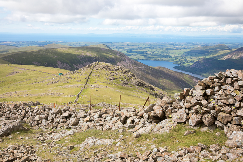
| 14.49 Panorama 1208 Haycock summit |
 |
||
| 15.15 Descending Haycock towards Little Gowder Crag. |

|
||
|---|---|---|
| 15.31 Panorama 1209 On Little Gowder Crag |

|
||
|---|---|---|
| 16.05 Panorama 1210 On the south side of the wall near the Caw Fell summit. |

|
||
|---|---|---|
| 16.14 Panorama 1211 A second visit to Caw Fell summit - the first being Wainwright #37 on the 20th July 2018 in so much rain. |
 |
||
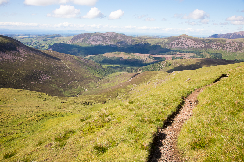
| 16:23 The path down is easy enough to find in good visibility. |

|
||
|---|---|---|
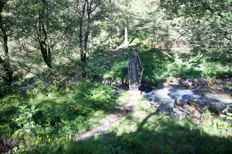
| 16.14 Panorama 1212 IA viewpoint stop on the way down with a look across to Tewit How. |
 |
||
|---|---|---|
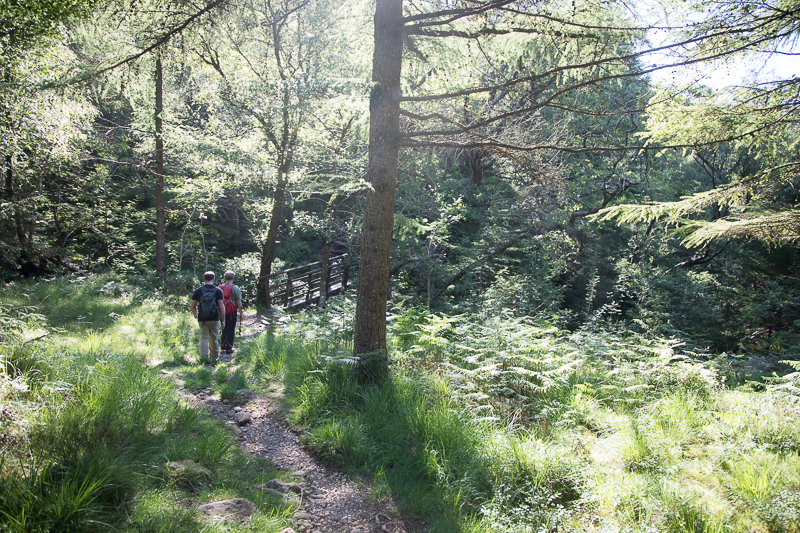
| 17.54 The right hand bridge takes you to a short slope up to the forest road. | ||
 |
||
| 17.54 The left hand bridge route looks shorter on the map but if memory serves its a bit more scrambly. |
 |
||
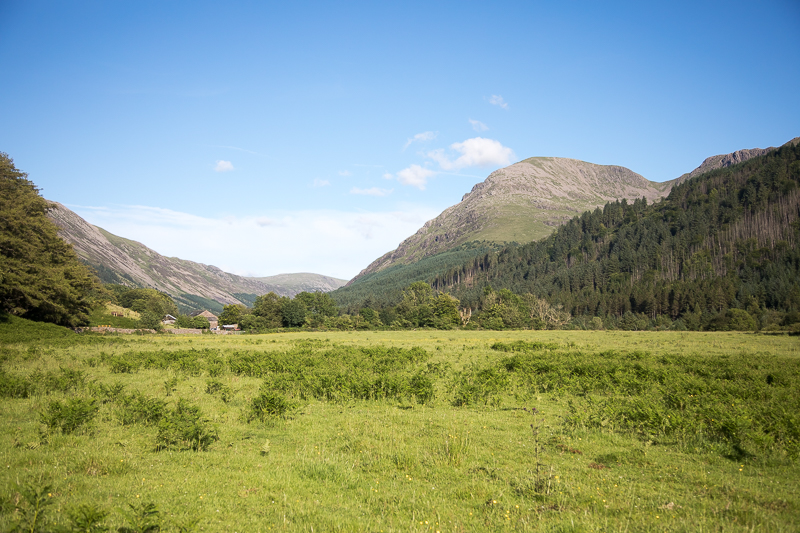
| 18:29 Returning to the field centre under Pillar. |
|
|
|
 |
|---|


 ///examine.ants.squabbles
 with bridges close by in both directions. Either is possible but I turned right and quickly met the forest road which took me back to