|
|
Walk 12 - Latrigg - 15th February 2017 |
||||
Wainwright's Walking Guide to the Lake District Fells - Book 5 The Northern Fells |
||||
#15 Latrigg 1207 ft |
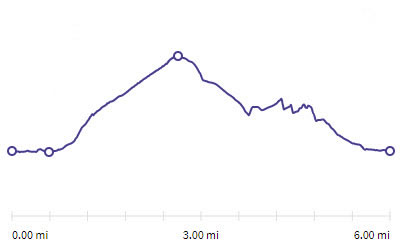 |
Distance |
6 miles |
|
Time |
3 hrs |
|||
Lowest Point |
266 ft |
|||
Highest Point |
1207 ft |
|||
Total Ascent |
1386 ft |
|||
Walk Rating - easy, but there are easier ways |
||||
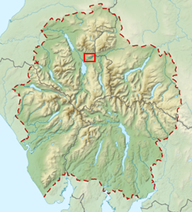 |
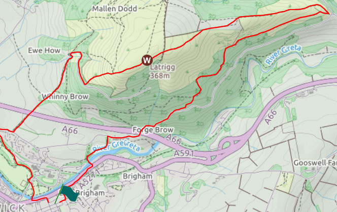
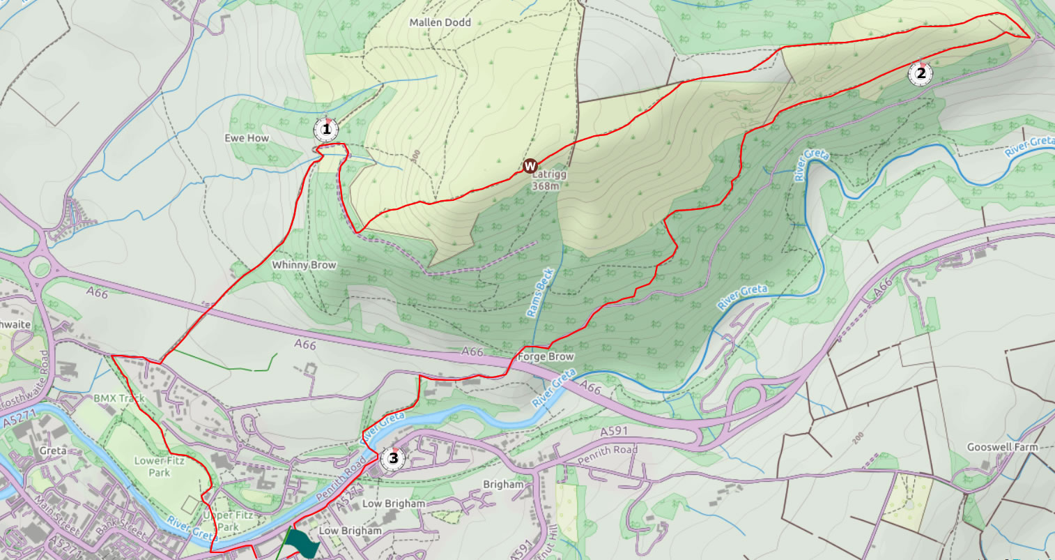
Mini Route Map Go to walk start
|
 |
|---|
 |
||
|---|---|---|
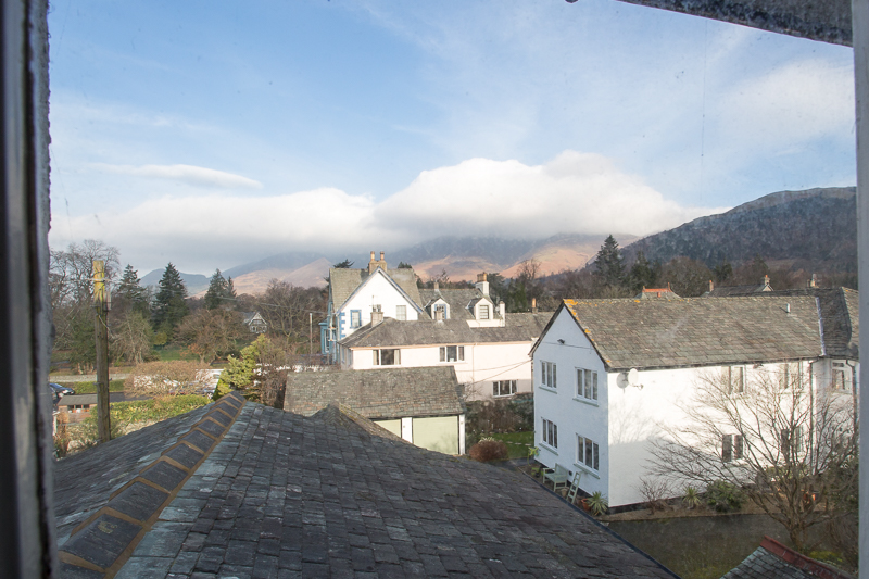
| 10.09 A view towards Skiddaw from our B&B in Blencathra Street, Keswick |
 |
||
|---|---|---|
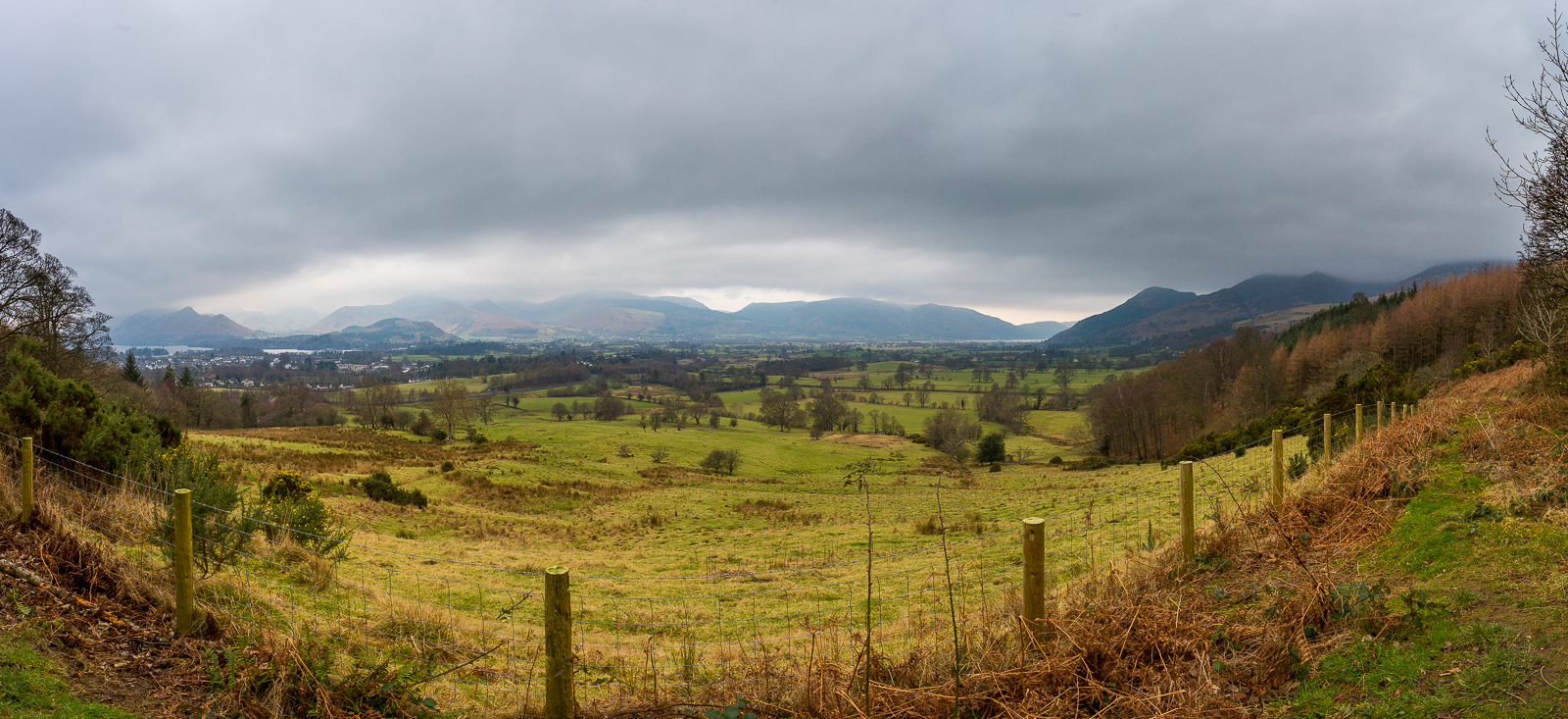
| 11.40 Panorama 143 We walked through the park in Keswick and crossed the A66 by the footbridge on Spooneygreen Lane. I was suffering with painful strap muscles today so progress was very slow. |
 |
||
|---|---|---|
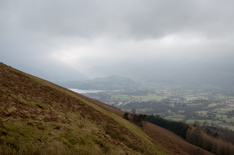
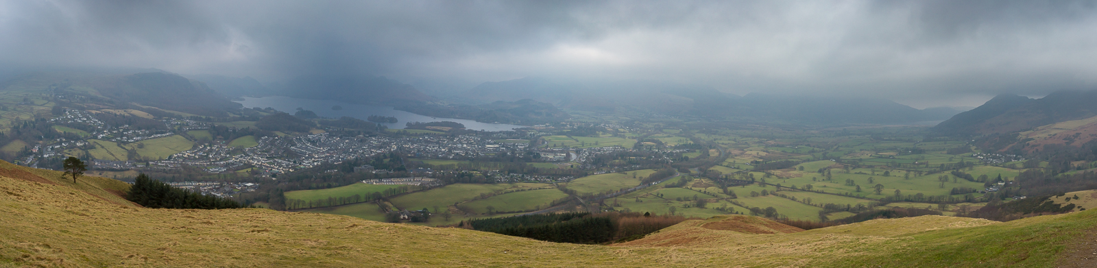
| 12.29 Looking across the side of Latrigg to the northern end of Derwent Water. |
 |
||
|---|---|---|
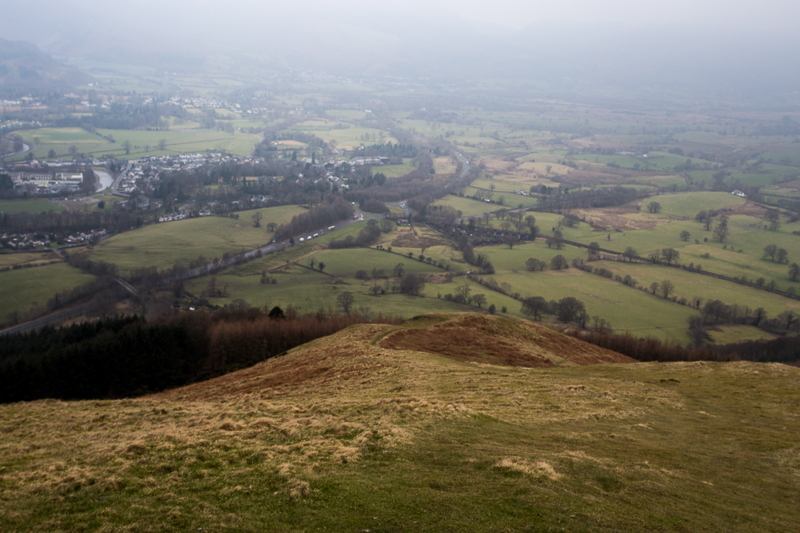
| 12.39 Latrigg view from near the bench.. |
 |
||
|---|---|---|
| 12.39 |
 |
||
|---|---|---|
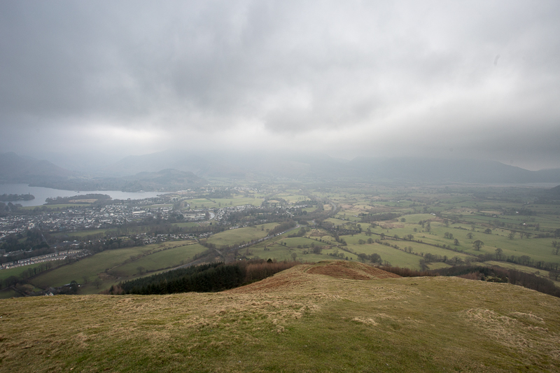
| 12.41 Panorama 144 Latrigg view from near the bench. |
The view is so much the best reason for climbing Latrigg that it is almost a pity to make the ascent on a day of poor visibility. |
|||||
Alfred Wainwright - The Northern Fells - Latrigg 9 |
|||||
 |
||
|---|---|---|
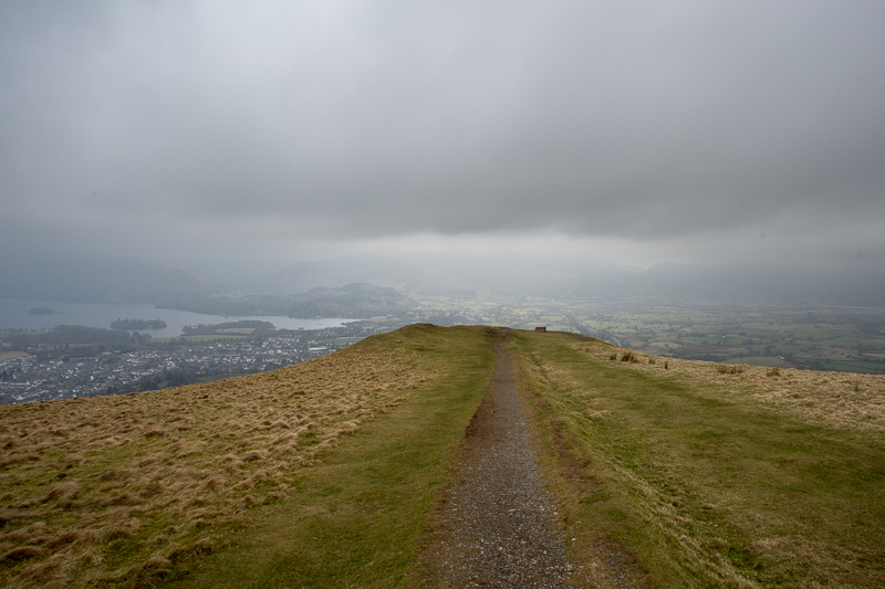
12.50 Latrigg summit is a little further up the path. Mr Wainwright is correct but unfortunately today was such a day. Here is the view on a much clearer day a few years later. |
 |
||
|---|---|---|
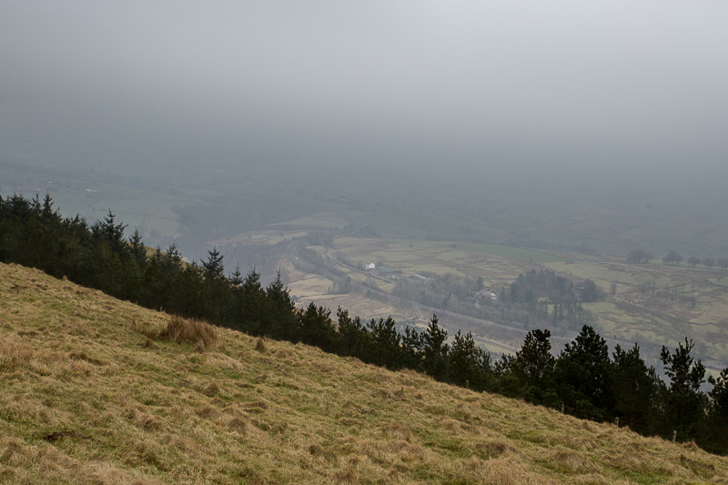
| 13.05 The A66 heading east into the murk. |
 |
||
|---|---|---|
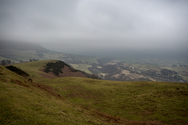
| 13.11 We descended the east side of Latrigg before looping back through Brundholme Wood. Although very overcast it had been dry. However we had persistant rain for the last half hour as we came back to Keswick, crossing the A66 using the bridge near Brigham. |
 |
||
|---|---|---|
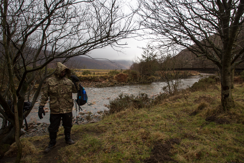
| 14.04 The following day and the forecast was for rain and low cloud so we settled for a walk around Ennerdale Water before heading home. We started at the western end and did a clockwise lap. This was a very wet lunch stop near Gillerthwaite Field Centre. |
 |
||
|---|---|---|
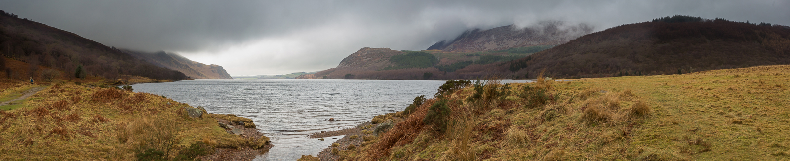
| 14.28 Panorama 145 Ennerdale Water. The northern side of the lake is an easy walk, with a level path and then a road all the way. But the southern side is very different with rougher terrain, narrower paths and some changes in height particularly around Angler's Crag. We took the lower path around the crag where some careful clambering was needed. |
|
|
 |
|---|