|
|
Walk 16 - Fairfield Horseshoe - 6th May 2018 |
||||
Wainwright's Walking Guide to the Lake District Fells - Book 3 The Central Fells |
||||
#20 Nab Scar 1444 ft |
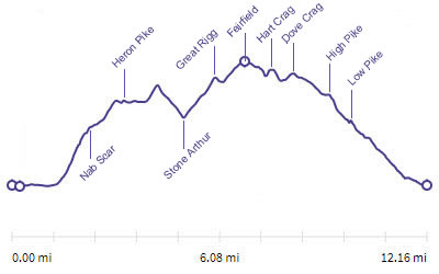 |
Distance |
12.1 miles |
|
Time |
9 hrs |
|||
Lowest Point |
170 ft |
|||
Highest Point |
2598 ft |
|||
Total Ascent |
4031 ft |
|||
Walk Rating - moderate, quite long but nothing difficult |
||||
 |
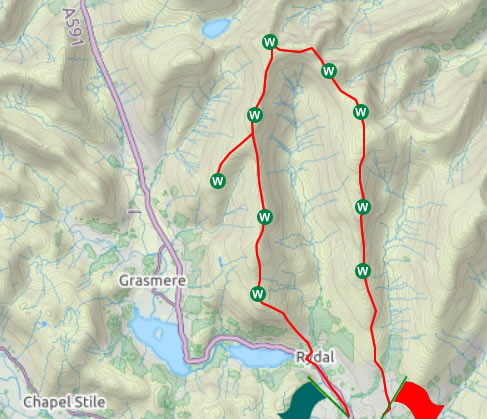
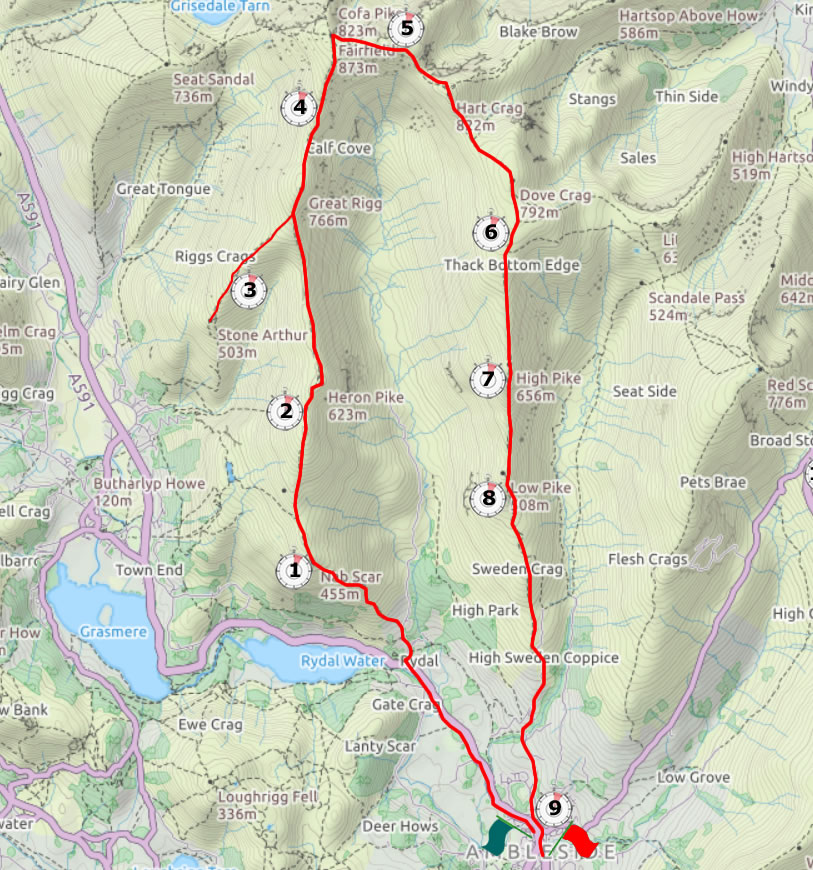
Mini Route Map Go to walk start
|
 |
|---|
 |
||
|---|---|---|
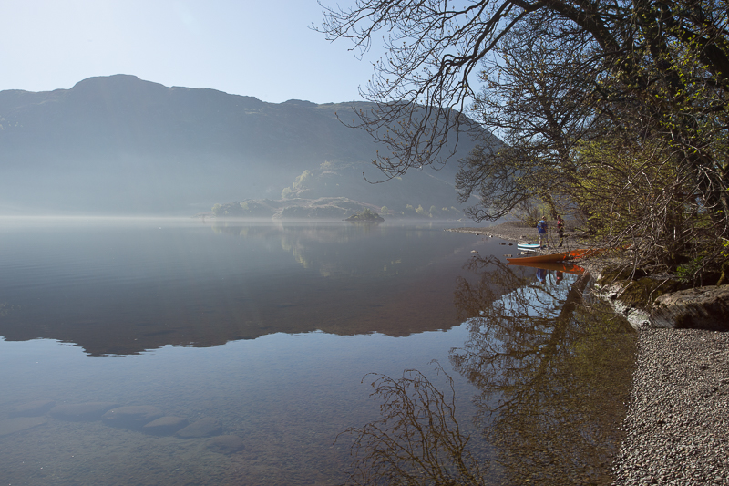
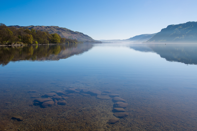
| 8.57 An early morning stop at Ullswater as we drove across to Ambleside from Penrith | ||
 |
||
| 8.58 | ||
 |
||
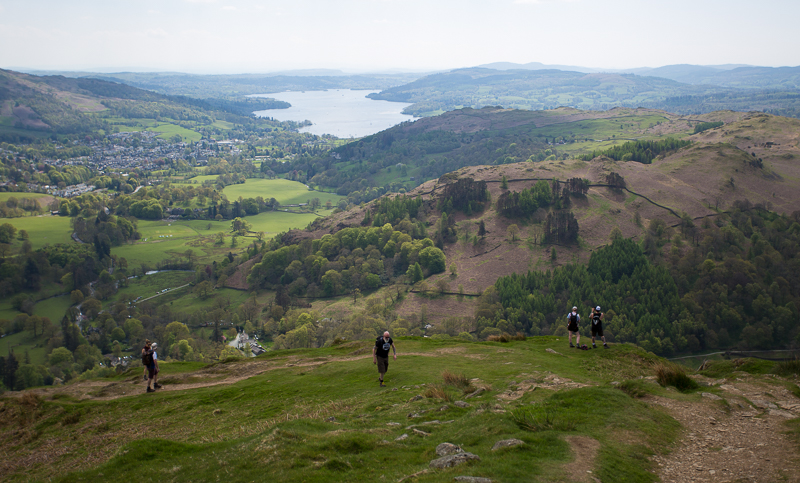
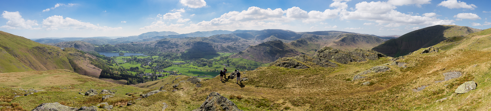
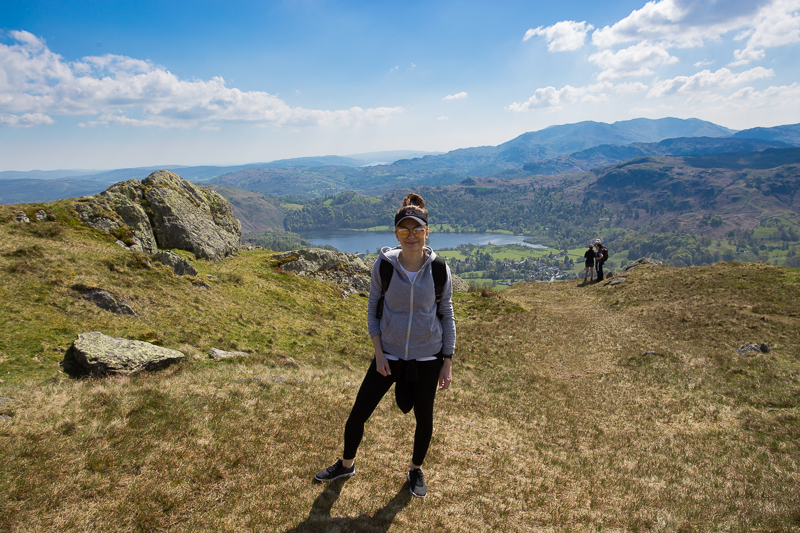
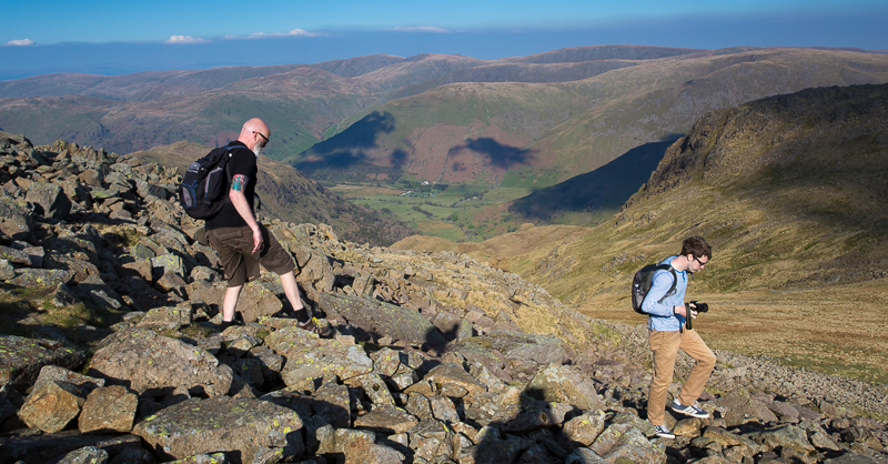
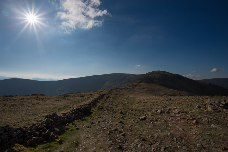
| 12.36 After breakfast in Ambleside we walked along the road to Rydal. After a stiff ascent we had this view from Nab Scar, overlooking Ambleside, Windermere and Loughrigg Fell. | ||
 |
||
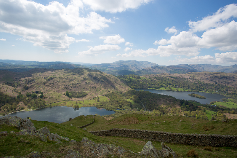
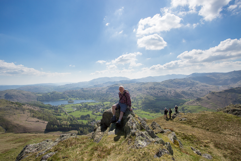
| 13.02 Nab Scar ovelooking Rydal Water and Grasmere | ||
 |
||
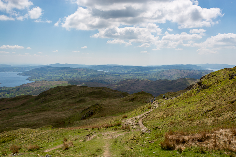
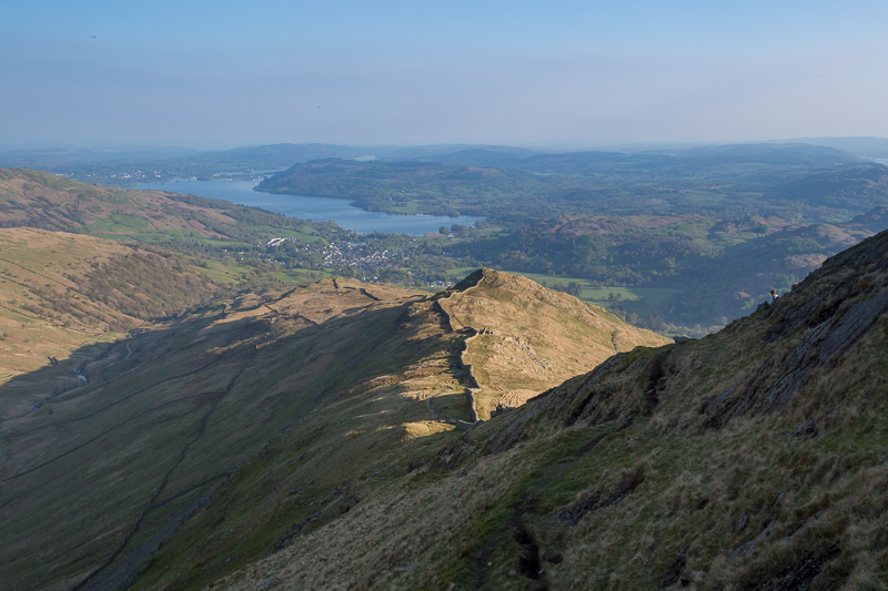
| 13.32 Looking back to Nab Scar. Windermere, Esthwaite and Coniston Water. | ||
 |
||
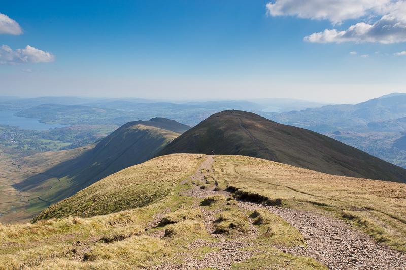
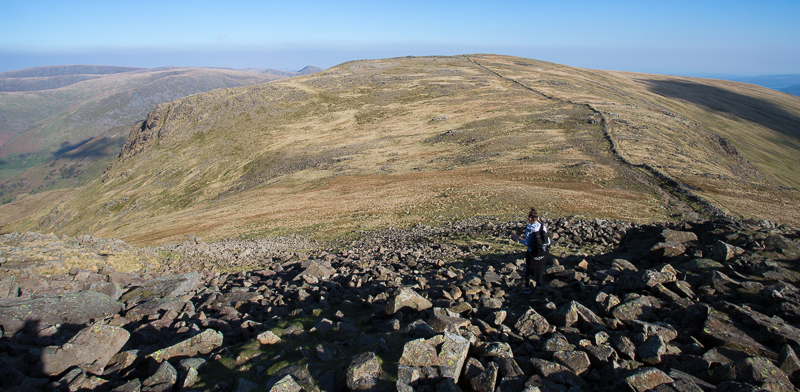
| 14.16 Heron Pike looking up over the Fairfield horseshoe | ||
 |
||
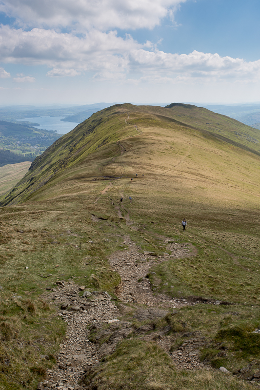
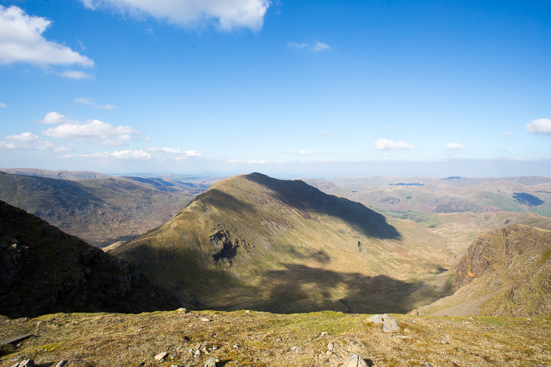
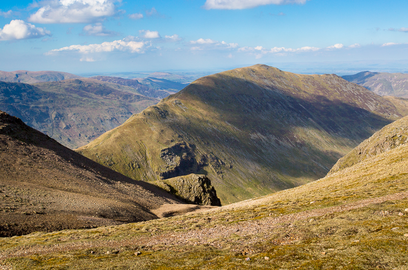
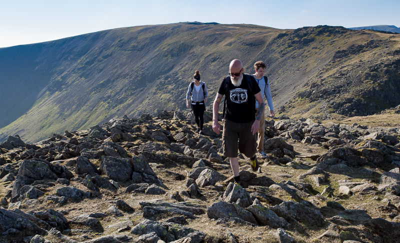
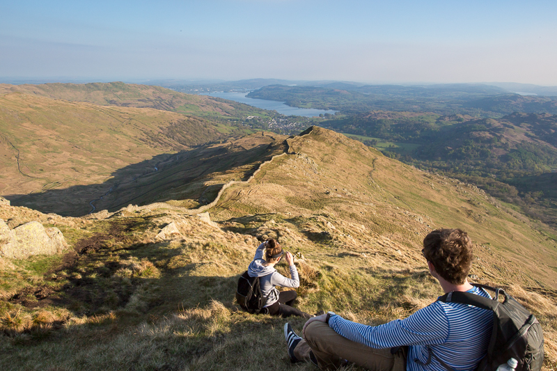
| 14.28 Ascending Great Rigg looking back to Heron Pike |
 |
||
|---|---|---|
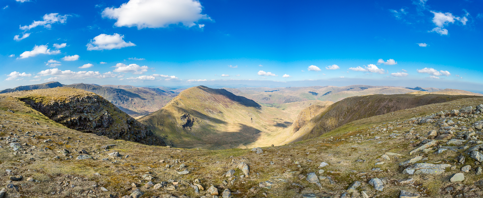
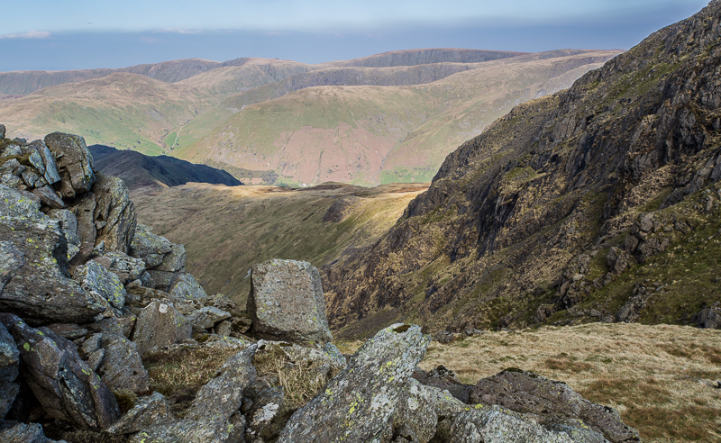
| 15.25 Panorama 192 Stone Arthur. It was only later that I could identify Scafell Pike with AW's help. |
The gem of the view is Easedale Tarn in its wild setting among the colourful fells (Tarn Crag and Blea Rigg) with a towering background culminating in Scafell Pike. |
|||||
Alfred Wainwright - The Eastern Fells - Stone Arthur 4 |
|||||
 |
||
|---|---|---|
| 15.26 Stone Arthur | ||
 |
||
| 15.27 Stana at Stone Arthur | ||
 |
||
| 16.37 Reaching Fairfield summit and looking back over Great Rigg and Heron Pike | ||
 |
||
| 16.51 NE view over St.Sunday Crag |
 |
||
|---|---|---|
| 16.52 Panorama 193 Fairfield summit |
 |
||
|---|---|---|
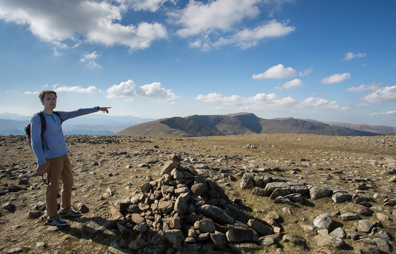
| 16.54 Simon on the summit looking towards Helvellyn | ||
 |
||
| 17.06 St.Sunday Crag | ||
 |
||
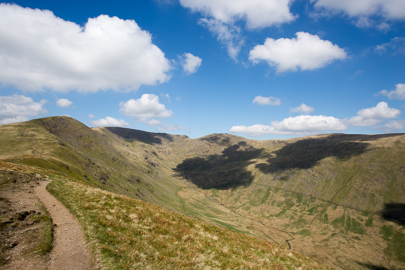
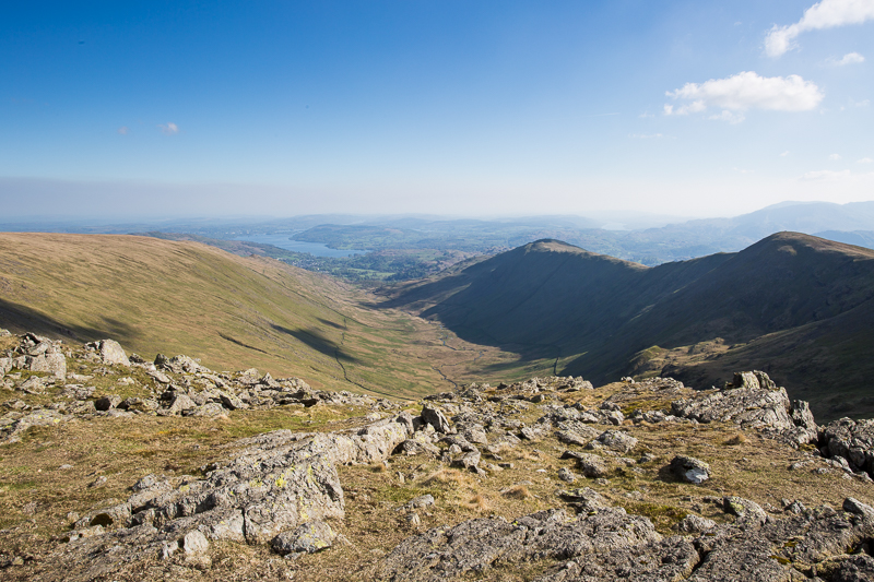
| 17.14 Looking down Rydal Beck from Rydal Head with Windermere in the distance | ||
 |
||
| 17.15 Hart Crag is our next summit. warnings are often given about how confusing the summit of Fairfield can be in the mist but it was very clear today so no problems finding our route. | ||
 |
||
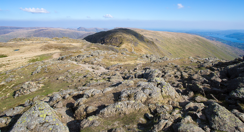
| 17.24 From the side of Hart Crag looking over Hartsop Above How towards Hartsop Dodd and many other fells to the east. | ||
 |
||
| 17.33 Ascending Hart Crag | ||
 |
||
| 17.42 From Hart Crag looking south. | ||
 |
||
| 17.42 Descending Hart Crag with Hartsop Dodd in the background. The white building is the Brotherswater Inn. | ||
 |
||
| 17.55 Looking back at Hart Crag and Fairfield | ||
 |
||
| 18.51 High Pike | ||
 |
||
| 18.56 High Pike | ||
 |
||
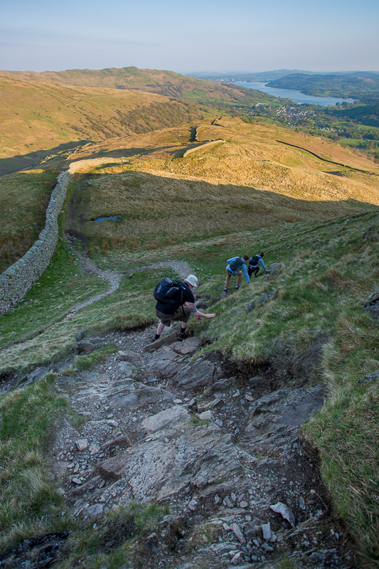
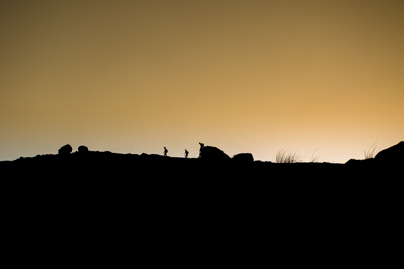
| 19.22 Synchronised descent of Low Pike | ||
 |
||
| 19.56 Low Pike | ||
 |
||
| 20.21 Near Sweden Bridge | ||
 |
||
| 20.39 Back to Ambleside | ||
|
|
 |
|---|