|
|
Walk 28 - Wythburn Fells - 26th October 2018 |
||||
Wainwright's Walking Guide to the Lake District Fells - Book 3 The Central Fells |
||||
#54 Steel Fell 1814 ft |
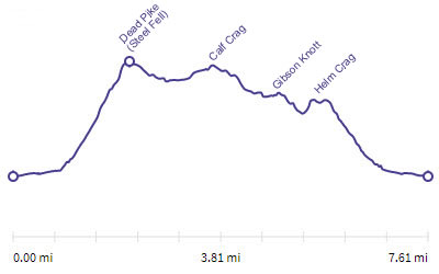 |
Distance |
7.5 miles |
|
Time |
5 hrs |
|||
Lowest Point |
278 ft |
|||
Highest Point |
1814 ft |
|||
Total Ascent |
2437 ft |
|||
Walk Rating - moderate |
||||
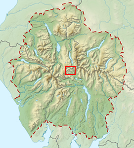 |
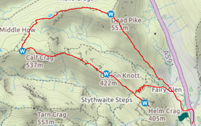
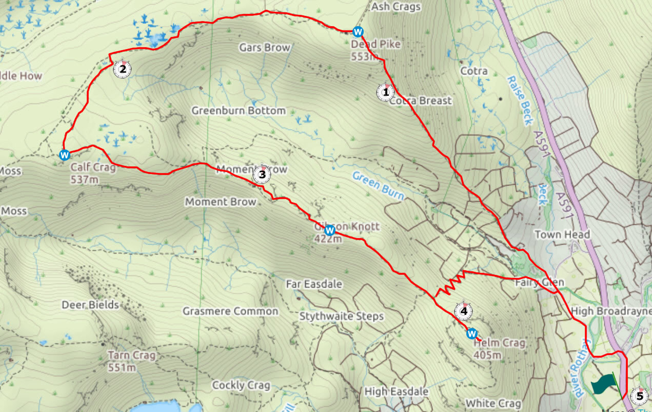
Mini Route Map Go to walk start
|
 |
|---|
 |
||
|---|---|---|
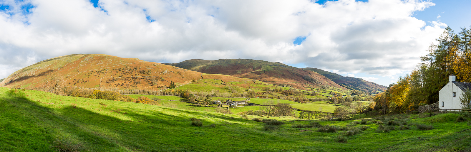
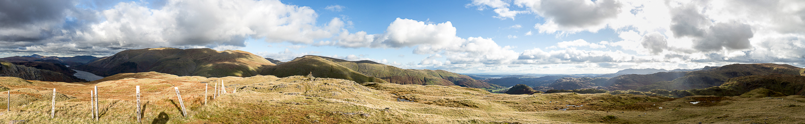
| 13.36 Panorama 228 At the base of Steel Fell. A brighter day so after a much needed bit of boot shopping we headed up to bag 4 Wainwrights. | ||
 |
||
| 14.39 Panorama 229 On Dead Pike, the summit of Steel Fell. | ||
 |
||
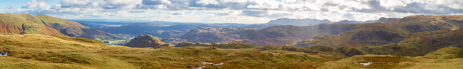
| 14.39 Panorama 230 Steel Fell looking south. |
 |
||
|---|---|---|
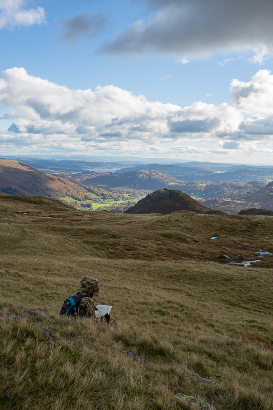
| 14.44 Map check with Helm Crag in the background. | ||
 |
||
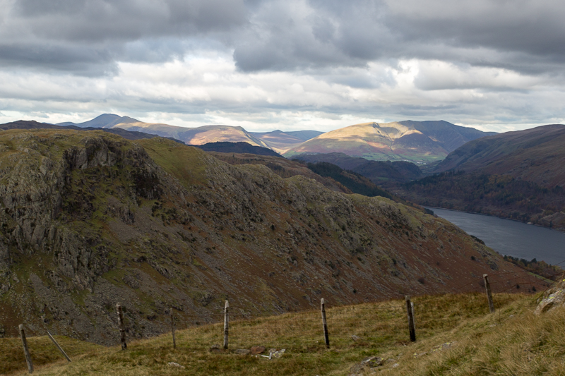
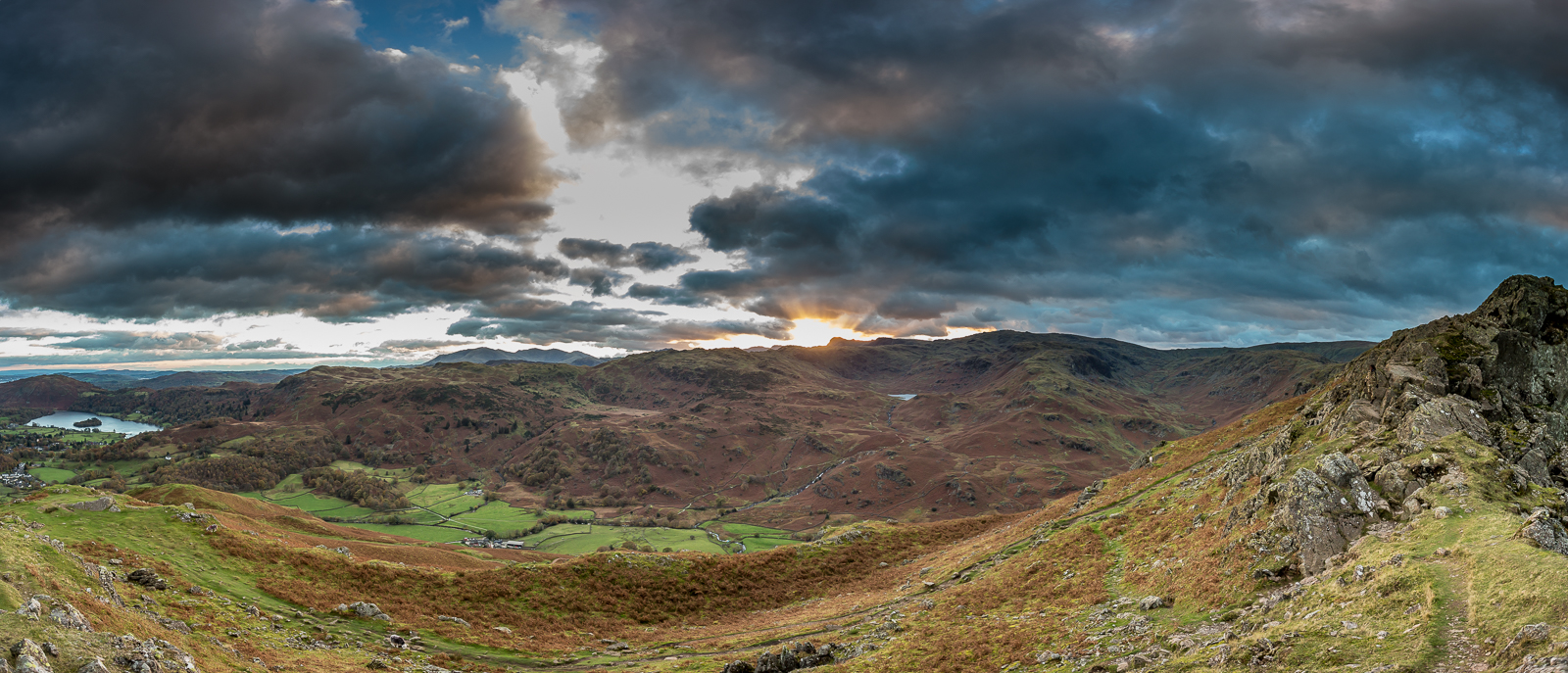
| 14.56 Looking north over Thirlmere with Blencathra and other northern fells catching the sun. | ||
 |
||
| 14.57 Looking west, the way we were heading. | ||
 |
||
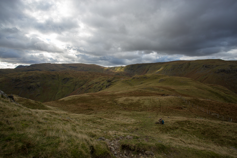
| 15.54 We stopped for lunch on Calf Crag but it was wet so I didn't take pictures. It then dried up for the rest of the afternoon. It was one of those days when the sun frequently broke through gaps in the clouds to highlight different patches on the fells. We began the walk along the very uneven ridge towards Gibson Knott. | ||
 |
||
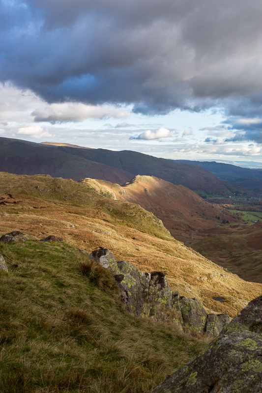
| 15.55 Helm Crag in the sun, would be our final peak. | ||
 |
||
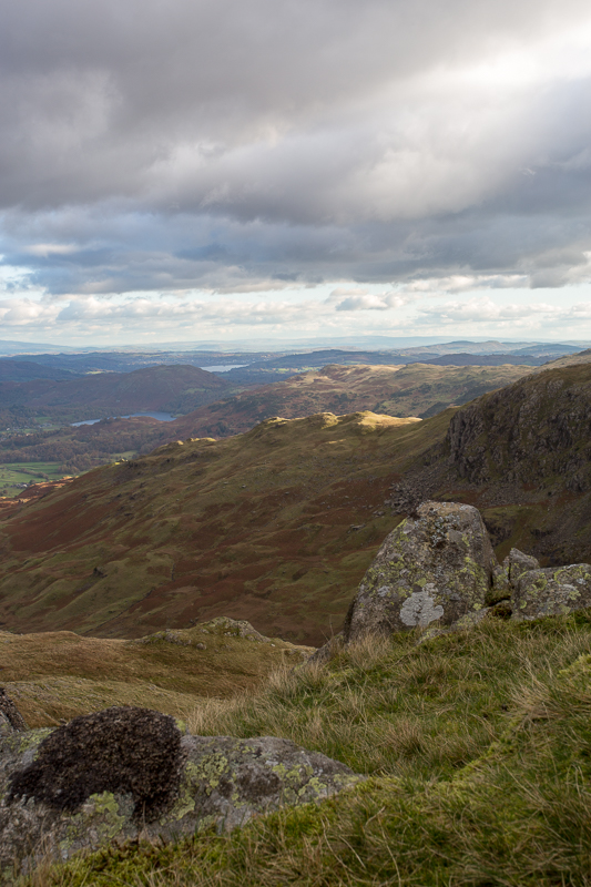
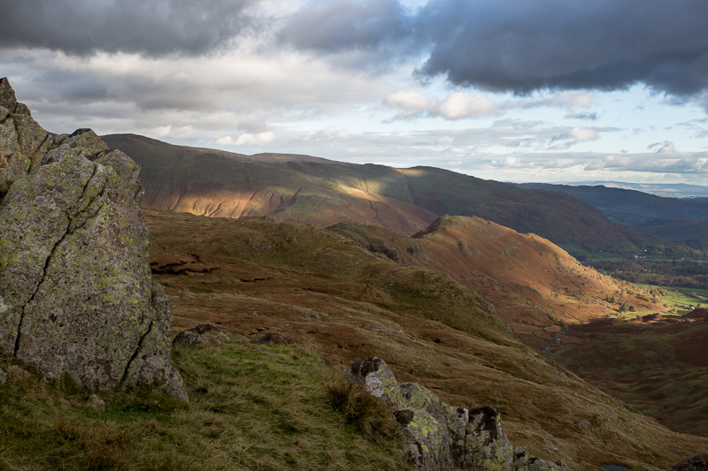
| 15.55 Looking south. | ||
 |
||
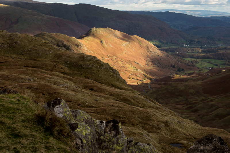
| 15.56 Helm Crag at the end of the ridge. |
 |
||
|---|---|---|
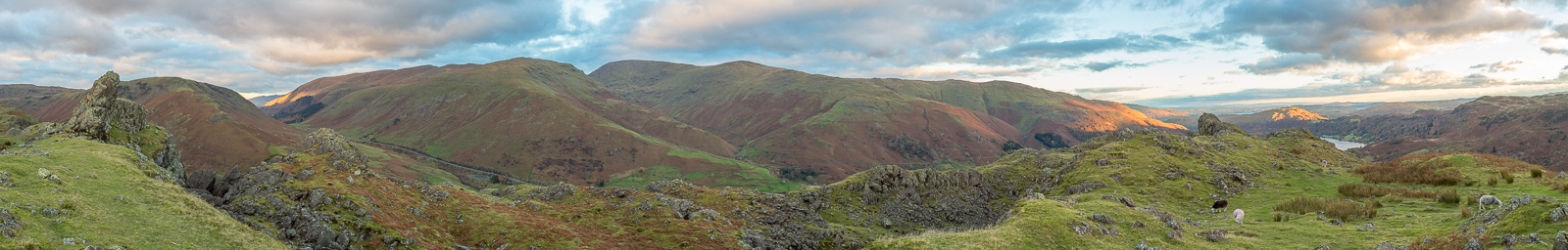
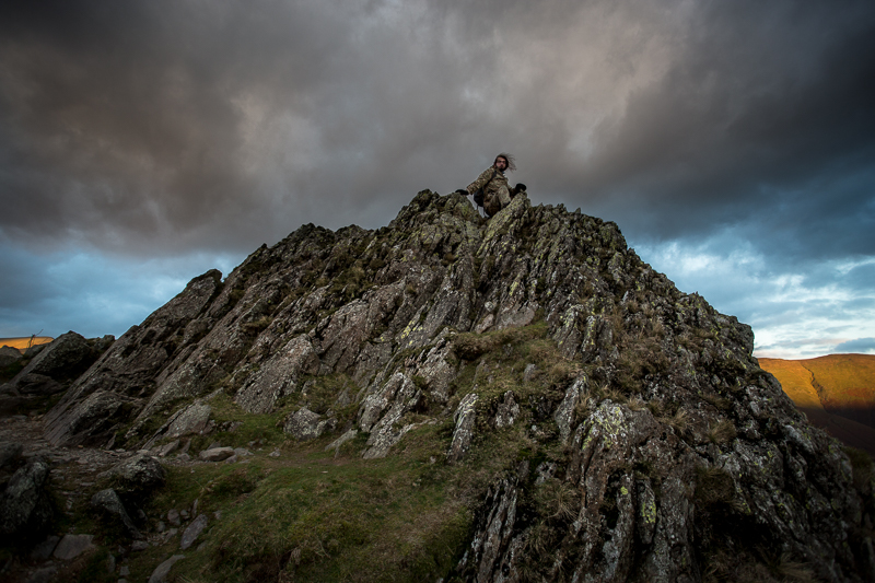
| 17.22 Panorama 231 From Helm Crag |
 |
||
|---|---|---|
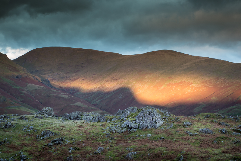
| 17.26 The shadow of Harrison Stickle on the side of Great Rigg | ||
 |
||
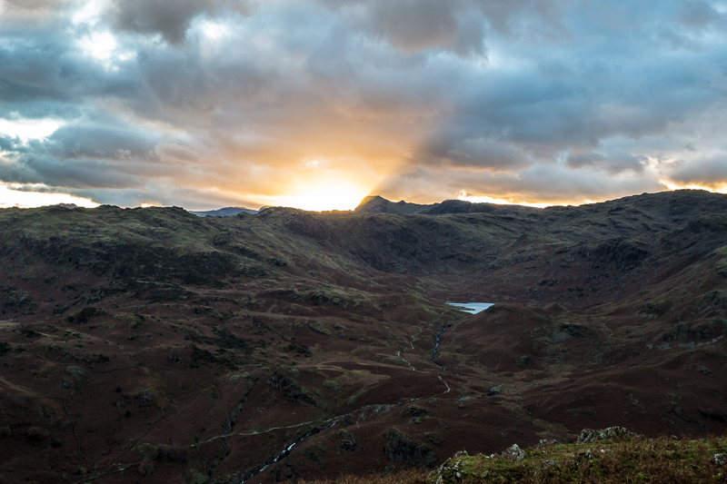
| 17.27 Sun going down behind Harrison Stickle. Easedale Tarn in front of it. | ||
 |
||
| 17.28 Helm Crag with Heron Pike and Nab Scar picked out by the sun. | ||
 |
||
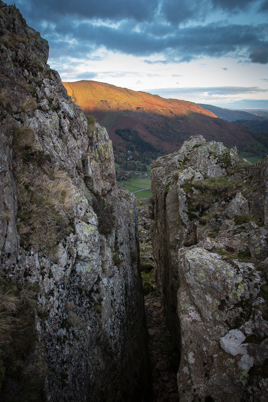
| 17.28 Helm Crag | ||
 |
||
| 17.30 Helm Crag | ||
 |
||
|---|---|---|
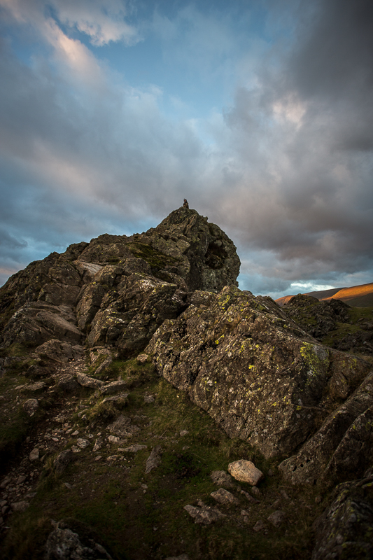
| 17.33 Panorama 232 Helm Crag |
|
|
 |
|---|