|
|
Walk 40 - Souther Fell - 17th August 2019 |
||||
Wainwright's Walking Guide to the Lake District Fells - Book 5 The Northern Fells |
||||
#86 Souther Fell 1713 ft
|
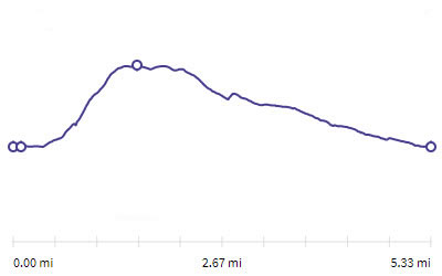 |
Distance |
5.3 miles |
|
Time |
3 hrs |
|||
Lowest Point |
291 ft |
|||
Highest Point |
1713 ft |
|||
Total Ascent |
1376 ft |
|||
Walk Rating - moderate |
||||
 |
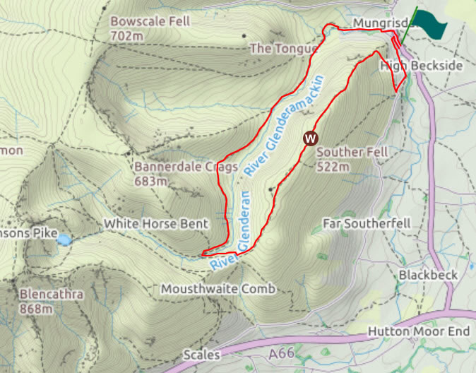
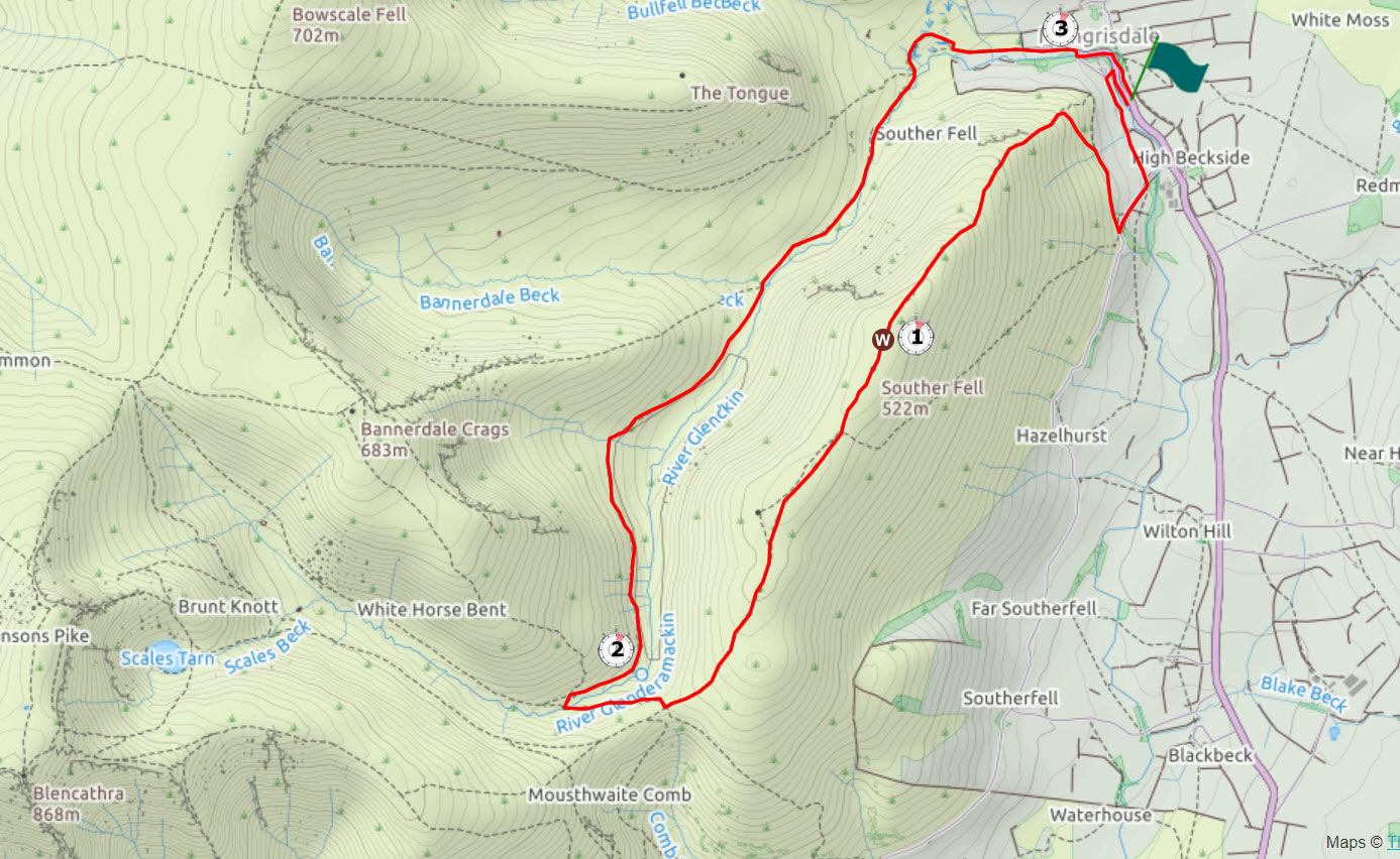
Mini Route Map Go to walk start
|
 |
|---|
 |
||
|---|---|---|
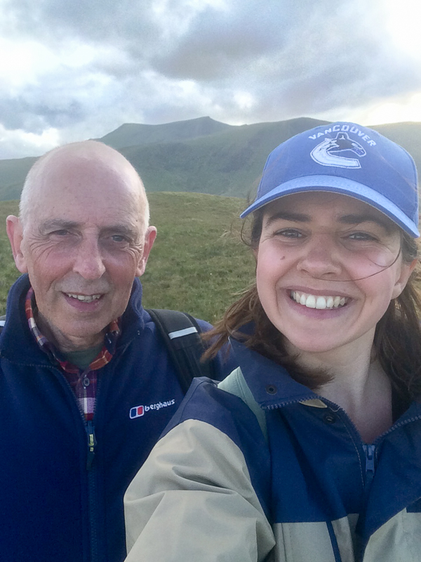
| 18.25 On the summit of Souter Fell after an hour's walk up from the car parked in Mungrisedale village. Blencathra in the background. |
 |
||
|---|---|---|
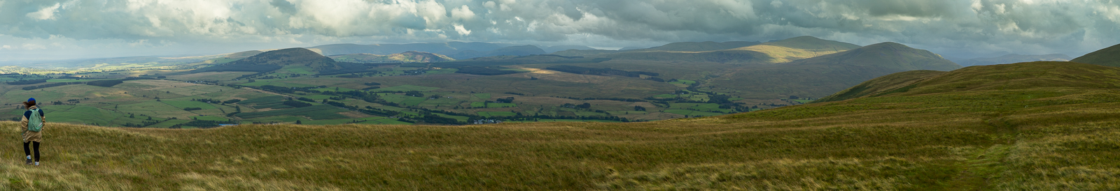
| 18.35 Panorama 335 Looking south the closest fells we could see were Great Mell Fell and Clough Head with numerous other fells visible in the distance. |
 |
||
|---|---|---|
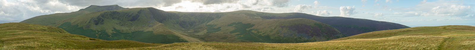
| 18.35 Panorama 336 Blencathra to the west with other subsidiary fells. | ||
 |
||
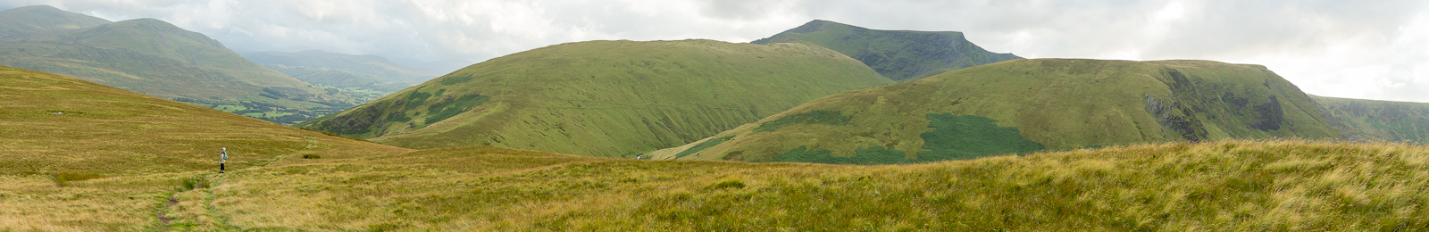
| 19.03 Panorama 337 Walking down towards Mousethwaite Coll. We could see two walkers on the path up Scales Fell ascending Blencathra. | ||
 |
||
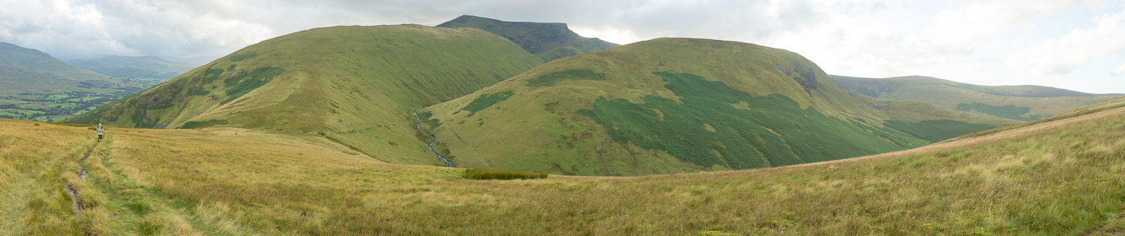
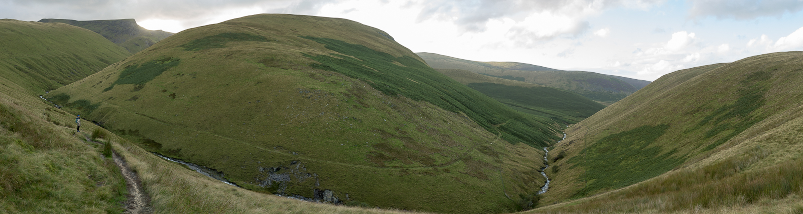
| 19.09 Panorama 338 High Seat is visible on the other side of the valley above Scales Fell. The River Gleneramackin comes into view between Blencathra and Bannerdale Crags. |
 |
||
|---|---|---|
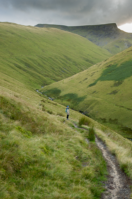
| 19.13 On the path down to the bridge over the River Glenderamackin. |
 |
||
|---|---|---|
| 19.13 Panorama 339 After crossing the bridge we turned right and used the path that runs around the bottom of Bannerdale Crags. The path was fine at the start but soon became wet and there were places where it was washed away. We also had to get creative where Bannerdale Beck came in from the left blocking our route and made a difficult crossing. Quite a long slow walk back to the car. | ||
|
|
 |
|---|