|
|
Walk 42r - Scar Crags & Causey Pike - 20th March 2025 |
||||
Wainwright's Walking Guide to the Lake District Fells - Book 6 The North Western Fells |
||||
#93 Causey Pike 2090 ft (revisit) |
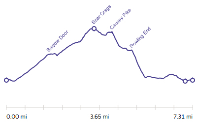 |
Distance |
7.3 miles |
|
Time |
6.5 hrs |
|||
Lowest Point |
316 ft |
|||
Highest Point |
2205 ft |
|||
Total Ascent |
2514 ft |
|||
Walk Rating - tough |
||||
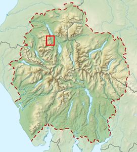 |
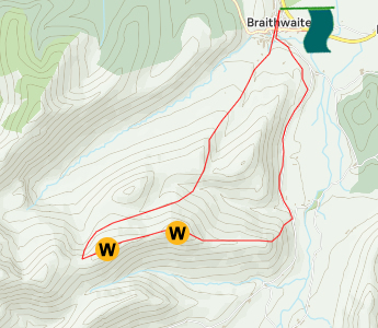
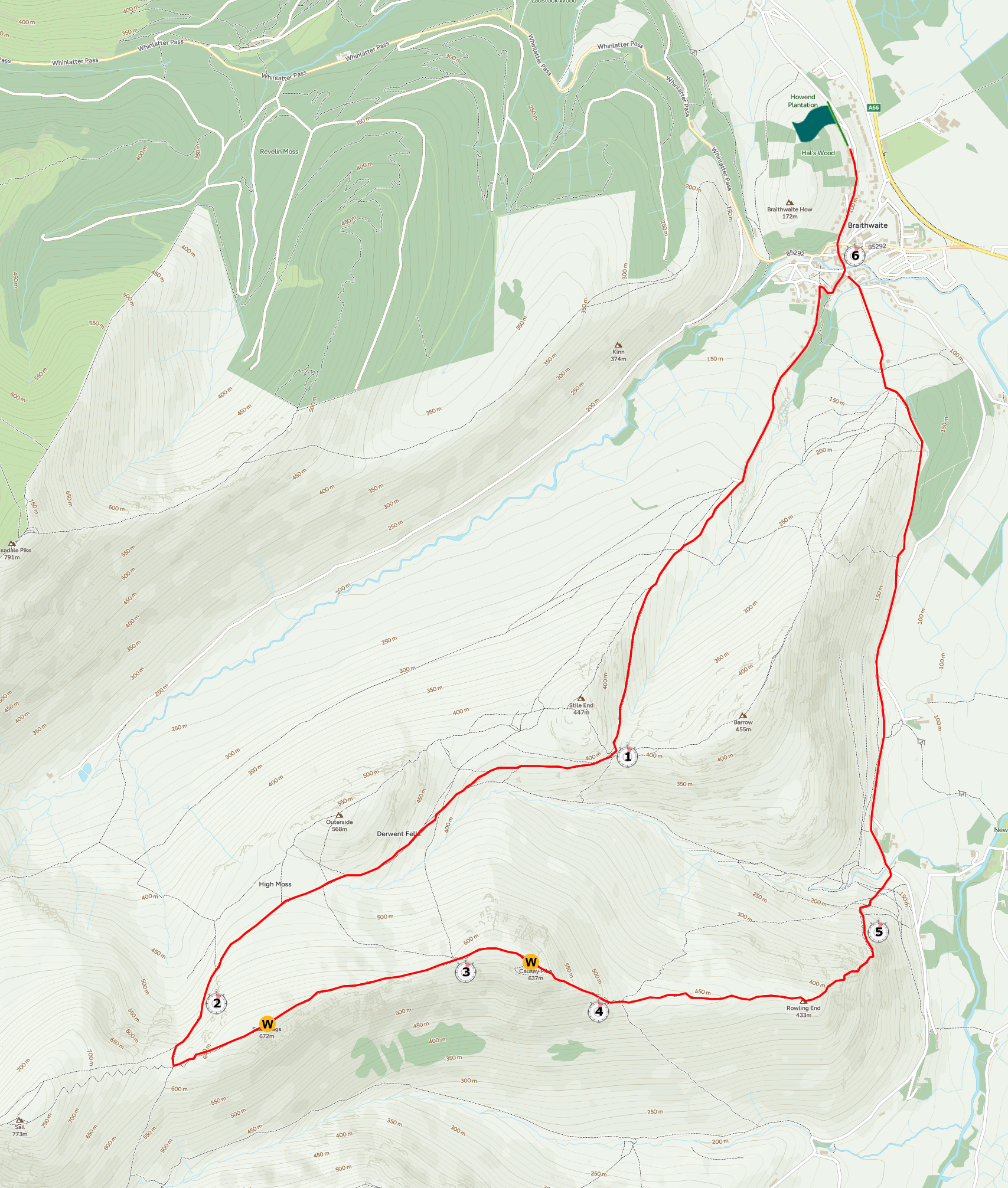
Mini Route Map Go to walk start
|
 |
|---|
 |
||
|---|---|---|
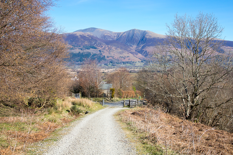
| 10.53 Leaving Braithwaite. |
 |
||
|---|---|---|
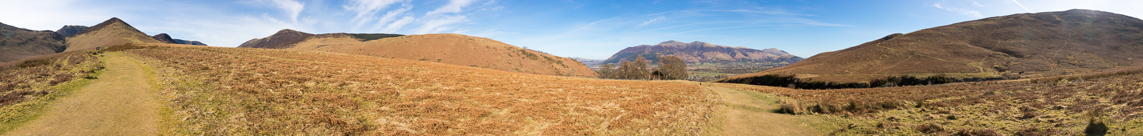
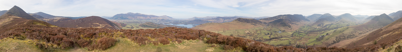
| 11.12 Panorama 1054 Half way between Braithwaite and Barrow Door and the ground opens up for a spacious view. |
 |
||
| 11.27 On the path that runs up the side of Stile End to Barrow Door. | ||
 |
||
| 11.51 Barrow Door with Sail and Crag Hill in the distance. |
|
||
|---|---|---|
| 12.00 The path from Barrow Door joins the main path from the road. |
 |
||
|---|---|---|
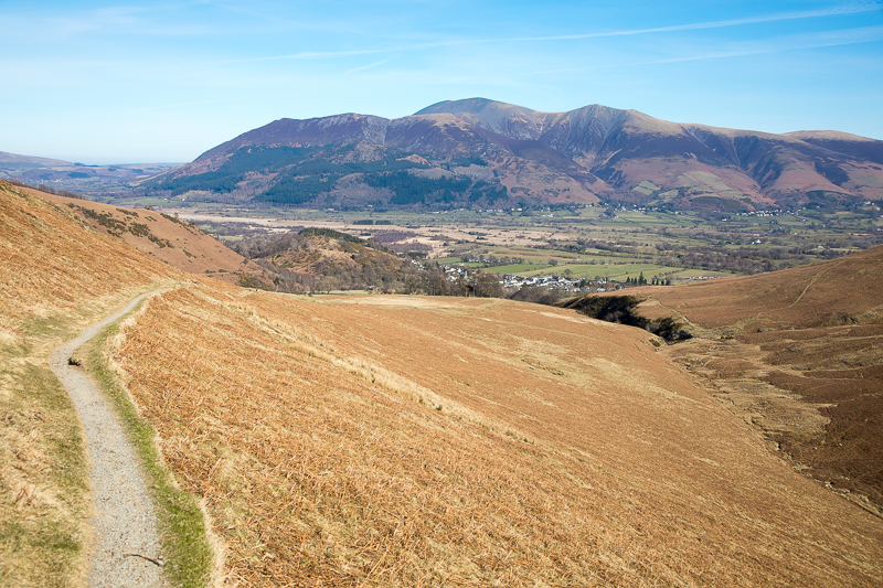
| 12.12 Looking back at Stile End and Barrow. |
|
||
|---|---|---|
| 12.00 Panorama 1055 High Moss. |
 |
||
|---|---|---|
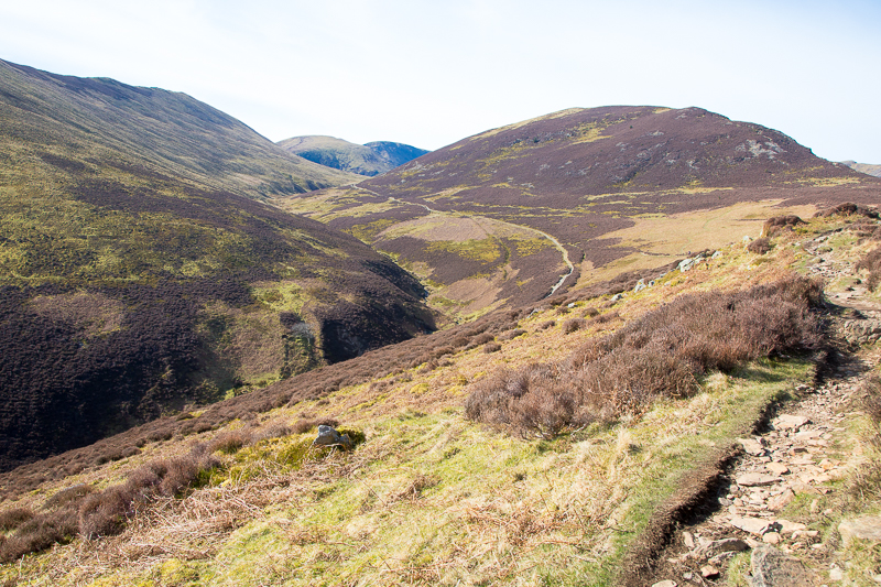
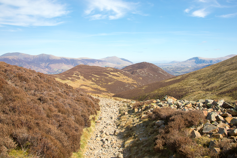
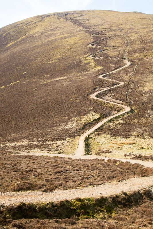
| 12.45 On the path alongside Scar Crags started out fine but there were a couple of dodgy bits higher up. |
|
||
|---|---|---|
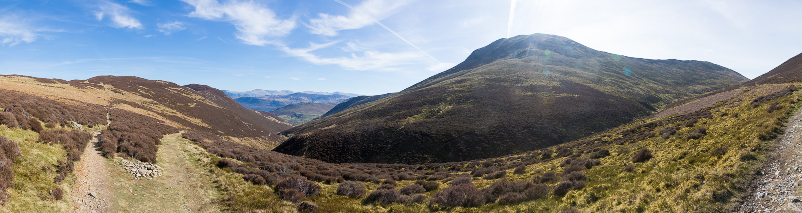
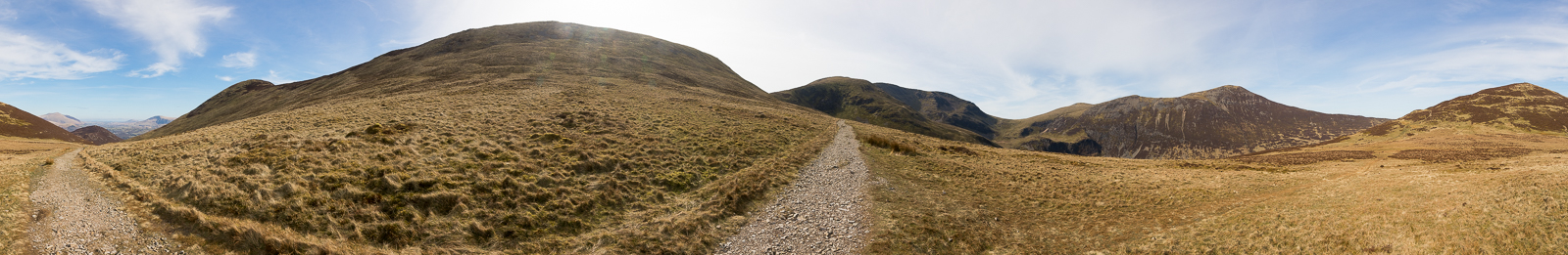
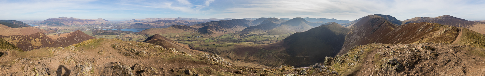
| 12.55 Panorama 1056 Sail Pass. |
 |
||
|---|---|---|
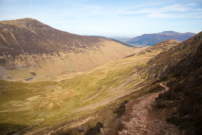
| 13.00 The Sail path from just above the junction of the paths at Sail Pass. |
 |
||
|---|---|---|
| 13.10 Approaching Scar Crags summit. |
 |
||
|---|---|---|
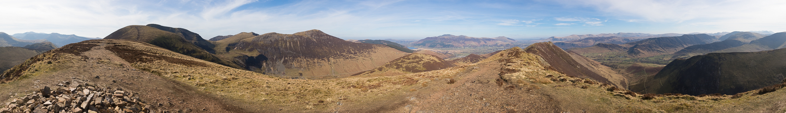
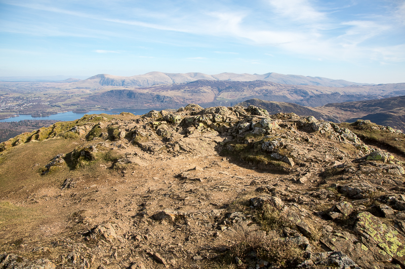
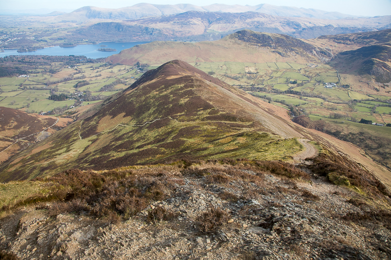
| 11.22 Panorama 1057 Scar Crags summit - a revisit of Wainwright #94, 2205ft. So much clearer than when we were last here. |
 |
||
|---|---|---|
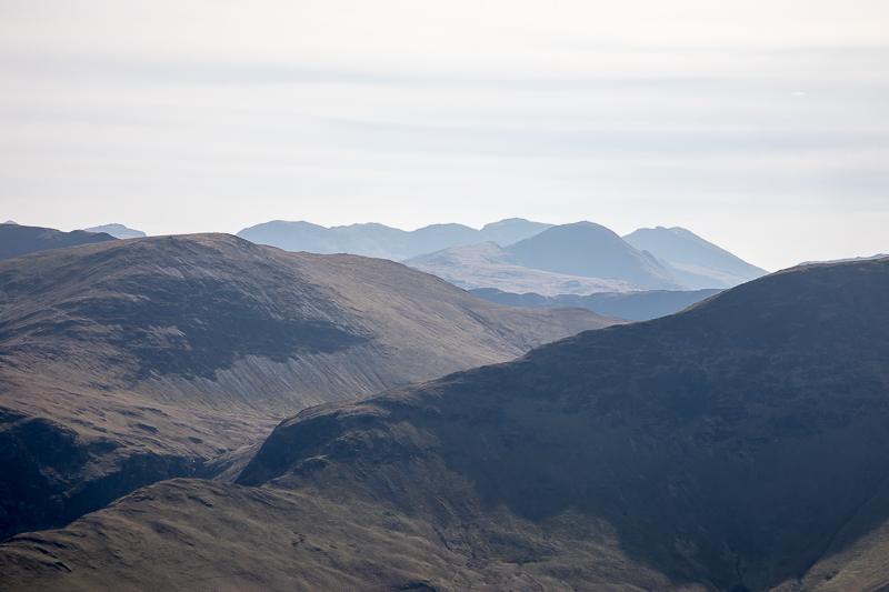
| 13.14 Scafells and Great Gable in the distance. |
 |
||
|---|---|---|
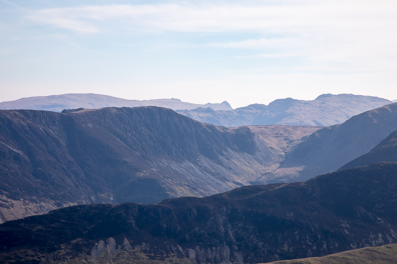
| 13.14 Langdales in the distance. |
 |
||
|---|---|---|
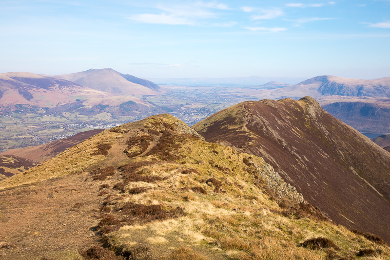
| 13.19 Still on the summit of Scar Crags, looking east. |
 |
||
|---|---|---|
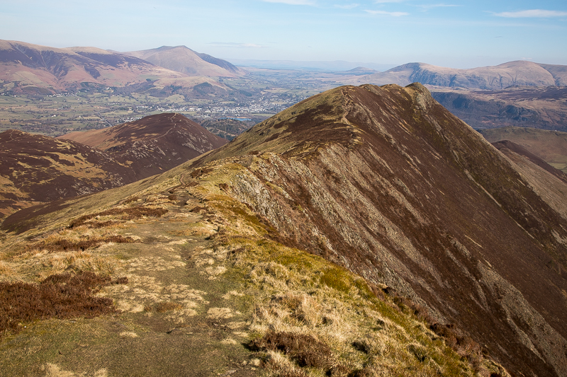
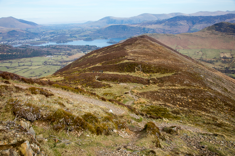
| 13.24 Walking along the ridge to Causey Pike. |
 |
||
|---|---|---|
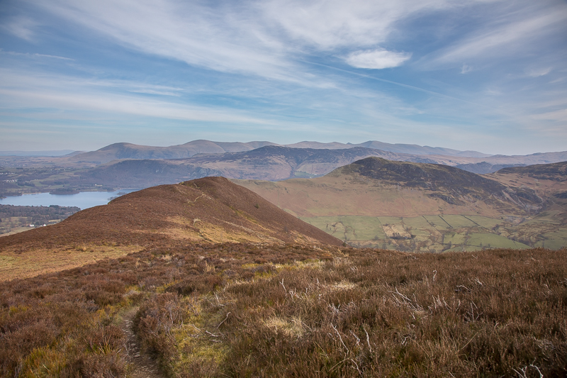
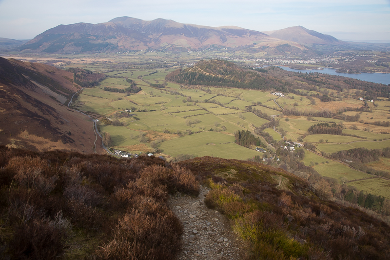
13.32 At the lowest point between the two. |
 |
||
|---|---|---|
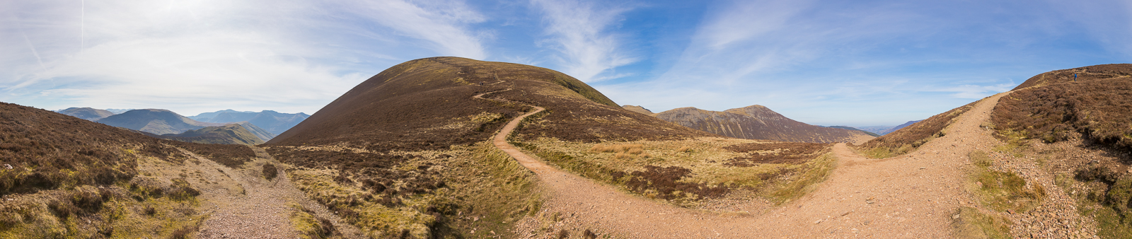
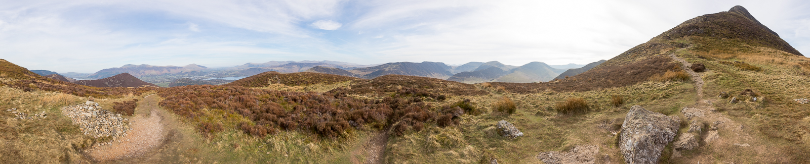
| 13.43 Panorama 1058 On one of the knuckles of the Causey Pike ridge. |
 |
||
|---|---|---|
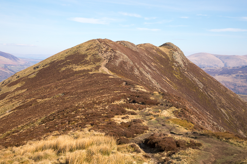
| 13.47 The rocky top of Causey Pike. |
 |
||
|---|---|---|
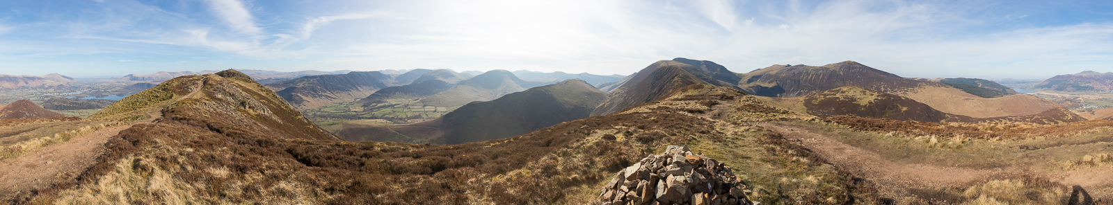
| 13.48 Panorama 1059 Causey Pike summit - a revisit in clearer weather, we were first on this ridge in August 2019 (Wainwright #93, 2090ft). |
 |
||
|---|---|---|
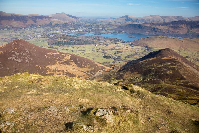
| 13.49 Looking down over Barrow and Rowling End. I was alone for lunch on the top but shortly after that I was one of 9. |
 |
||
|---|---|---|
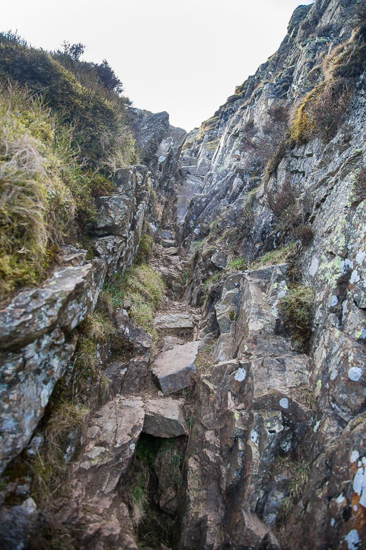
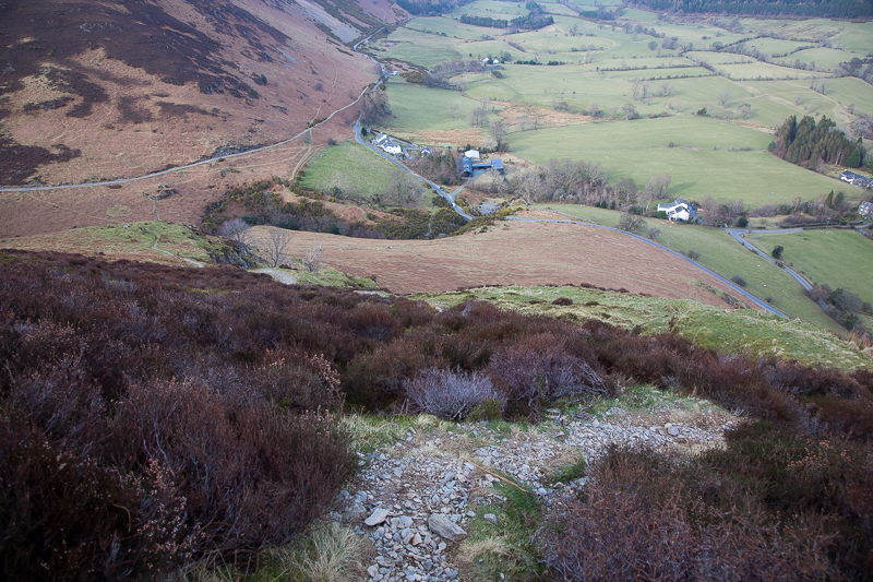
| 14.32 Beginning the descent involved slithering down this groove. |
 |
||
|---|---|---|
| 14.34 Continuing down towards Sleet Hause. |
 |
||
|---|---|---|
| 14.45 Sleet Hause. |
|
||
|---|---|---|
| 14.50 Panorama 1060 Sleet Hause. |
 |
||
|---|---|---|
| 14.57 Walking east to Rowling End. |
 |
||
|---|---|---|
| 15.07 Panorama 1061 The grassy top of Rowling End really is the perfect spot for a picnic. |
 |
||
|---|---|---|
| 15.19 The drop down to the road was steep and awkward in places. |
 |
||
|---|---|---|
| 15.44 Nearly at the bottom. |
 |
||
|---|---|---|
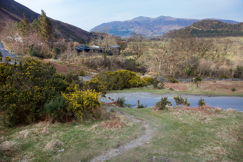
| 16.01 Back at the road at last, it took nearly an hour to get down. |
 |
||
|---|---|---|
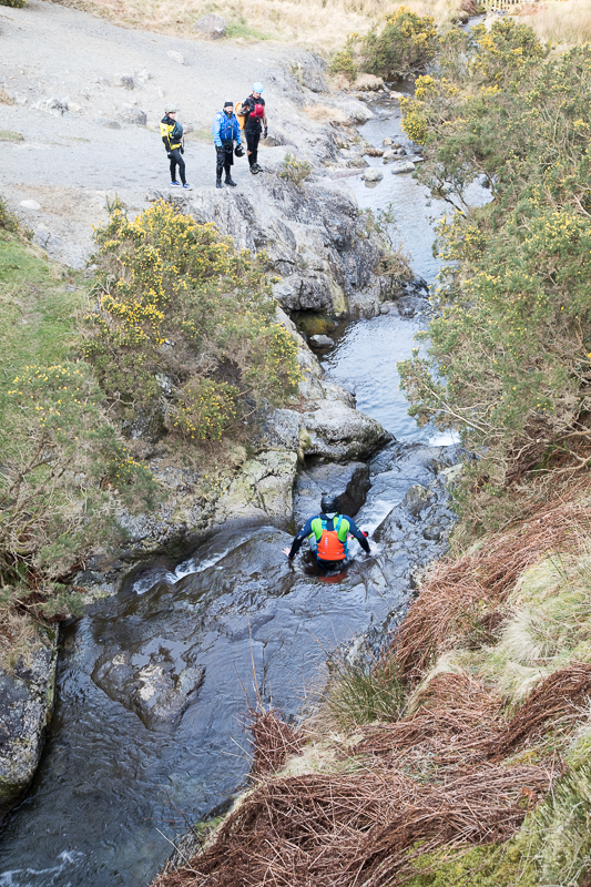
| 16.03 Some sort of outward bound course was going on in the river below the bridge. |
 |
||
|---|---|---|
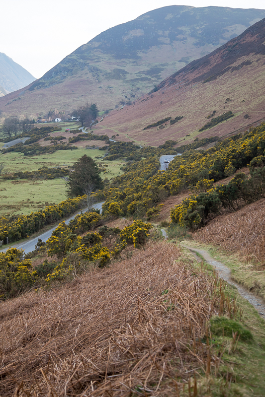
| 16.22 Looking back at Rowling End and the fellside I had just come down. |
|
||
|---|---|---|
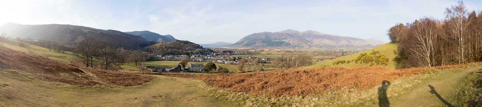
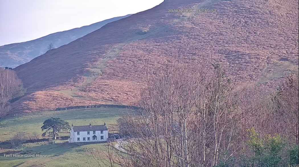
| 16.36 Panorama 1062 Though I had never been here before, this spot was familiar because it is one of the views from the Fern Howe webcam. While I was stood here I could log in to the camera and screenshot the image of myself . . |
 |
||
|---|---|---|
| 16.22 . . . . and here is that picture. |
|
|
 |
|---|