|
|
Walk 54r - Whinlatter - 21st March 2025 |
||||
Wainwright's Walking Guide to the Lake District Fells - Book 6 The North Western Fells |
||||
Brown How 1696 ft |
 |
Distance |
3 miles |
|
Time |
2 hrs |
|||
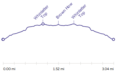
Lowest Point |
1046 ft |
|||
Highest Point |
1722 ft |
|||
Total Ascent |
847 ft |
|||
Walk Rating - easy |
||||
 |
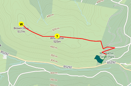
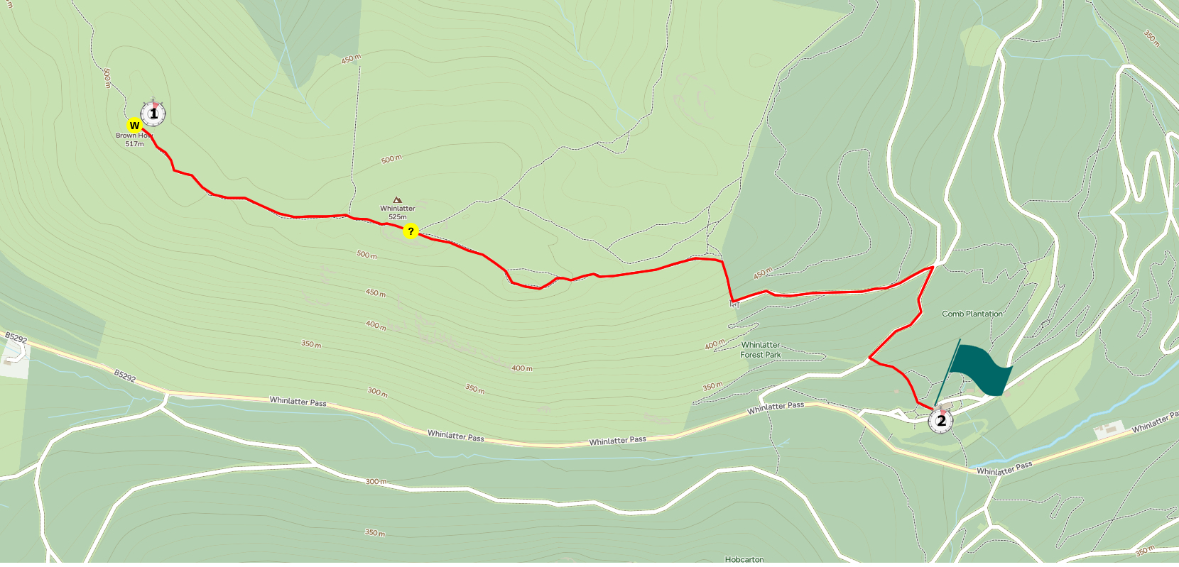
Mini Route Map Go to walk start
|
 |
|---|
 |
||
|---|---|---|
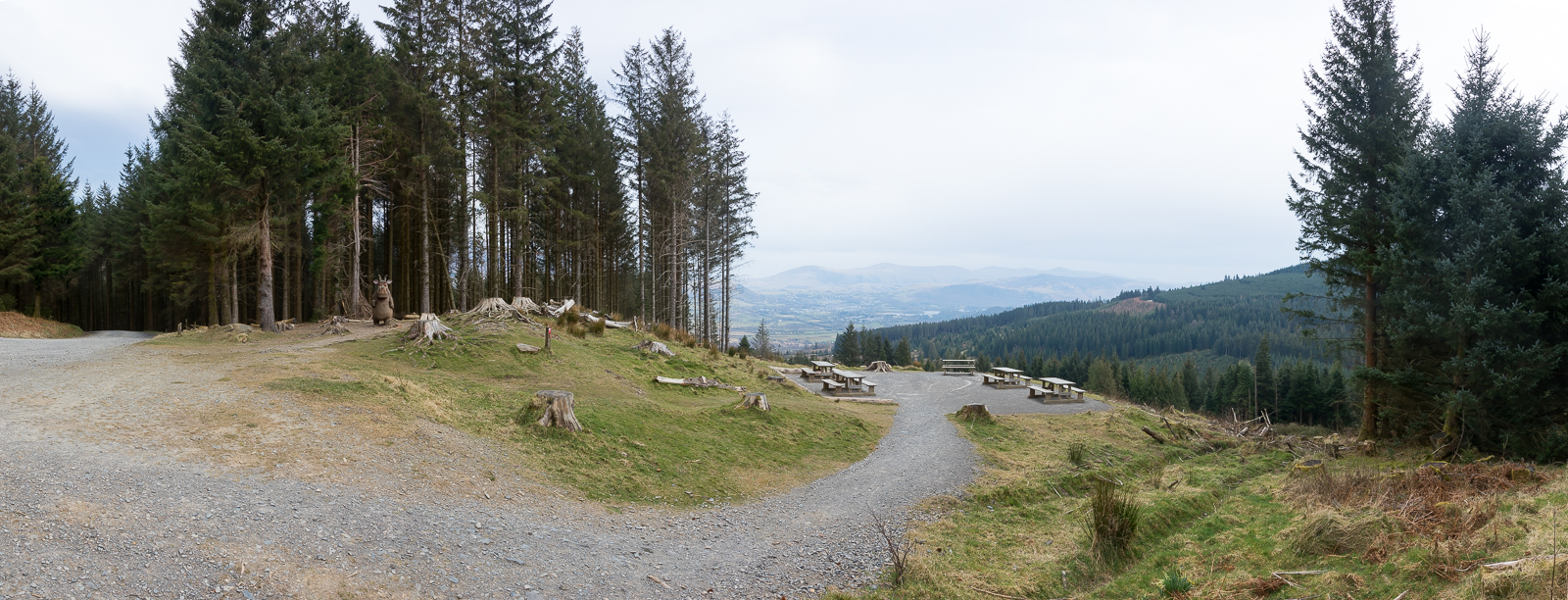
| 11.37 Parked at the Whinlatter Forest car park. |
 |
||
|---|---|---|
| 11.50 Gruffalo Junction on the way up. Hard left here. |
 |
||
|---|---|---|
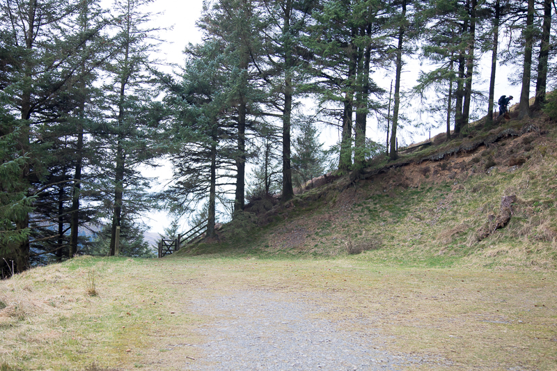
| 11.58 Walking up through the woods and about to reach the steep bit. I went as far as Brown How with the guy ahead who was also doing Wainwrights. |
 |
||
|---|---|---|
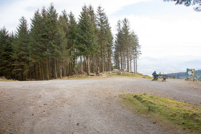
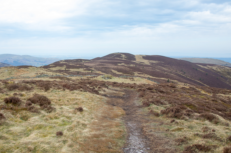
| 12.23 The summit shelter on Brown How is visible from Whinlatter Top. It took 15 minutes to get over to it. I was sheltered under the trees before but up here it was very windy, particularly on the way back. |
 |
||
|---|---|---|
| 12.43 Panorama 1064 A very blowy Brown How. Wainwright denotes this as the Whinlatter summit and refers to Whinlatter Top as "east top". However he also says that the east top appears "to be at least equally high", questioning the OS opinion of the day. We now know that Whinlatter Top is 525 m (1722 ft) while Brown How is only 517 m (1696 ft). |
 |
||
|---|---|---|
| 13.02 Panorama 1065 Passing Gruffalo Junction on the way back down |
|
|
 |
|---|