|
|
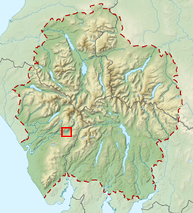
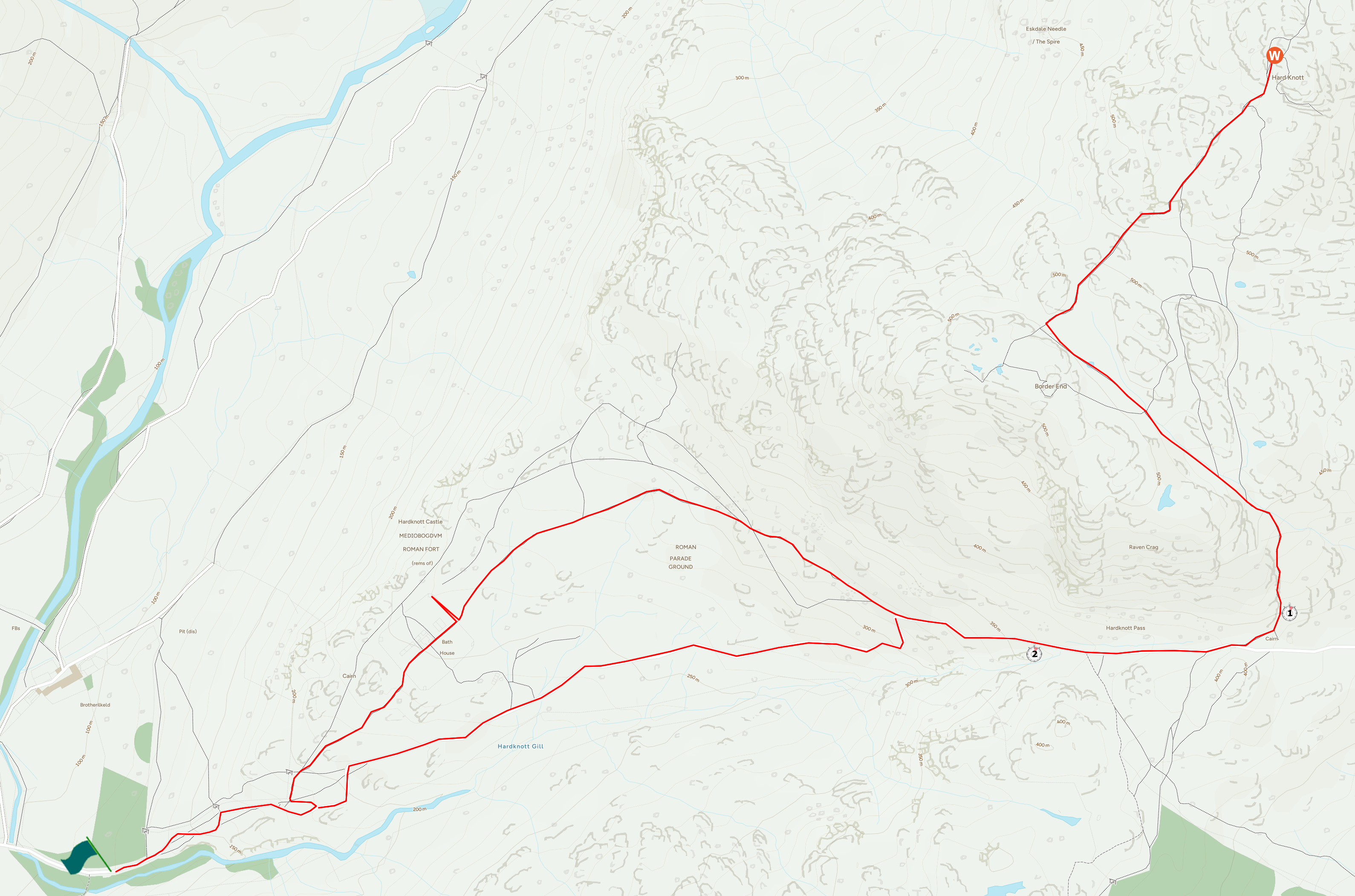
Walk 94 - Hard Knott - 10th April 2025 |
||||
Wainwright's Walking Guide to the Lake District Fells - Book 4 The Southern Fells |
||||
#209 Hard Knott 1801 ft |
 |
Distance |
4.4 miles |
|
Time |
2.5 hrs |
|||
Lowest Point |
377 ft |
|||
Highest Point |
1801 ft |
|||
Total Ascent |
1536 ft |
|||
Walk Rating - easy |
||||
 |
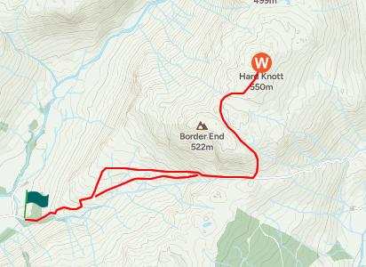
Mini Route Map Go to walk start
|
 |
|---|
 |
||
|---|---|---|
| 17.18 Leaving the parking at Jubilee Bridge having driven up from Bedford that day via Derbyshire. |
 |
||
|---|---|---|
| 17.22 |
 |
||
|---|---|---|
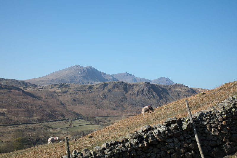
| 17.23 The Scafells. The angle of the wall gives an idea of the slope of one of the steepest roads in England. |
 |
||
|---|---|---|
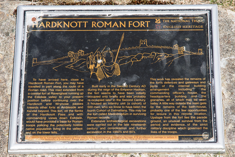
| 17.32 Sign at one of the entrances to Mediobogdum. |
 |
||
|---|---|---|
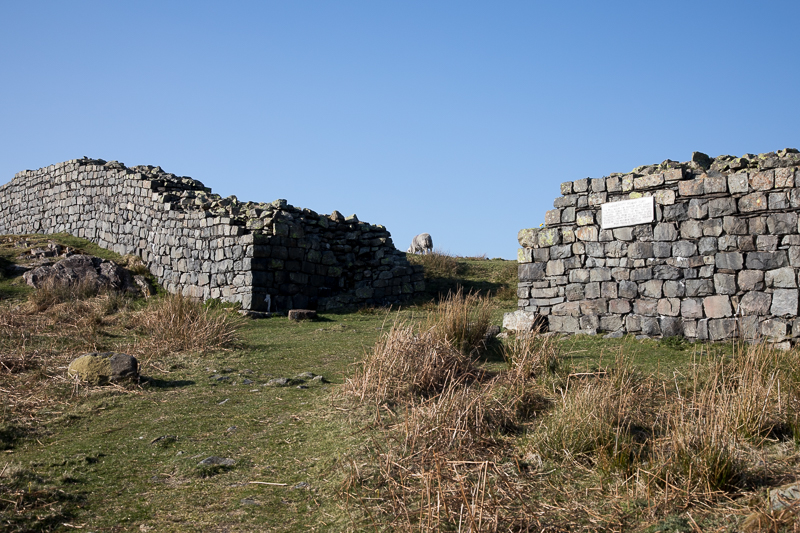
| 17.35 Fort entrance. |
 |
||
|---|---|---|
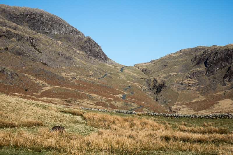
| 17.36 Looking up Hardknott Pass. |
 |
||
|---|---|---|
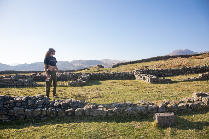
| 17.37 In the central part of the fort. |

|
||
|---|---|---|
| 17.43 Panorama 1069 Hardknott Castle (Roman Fort Mediobogdum). |
 |
||
|---|---|---|
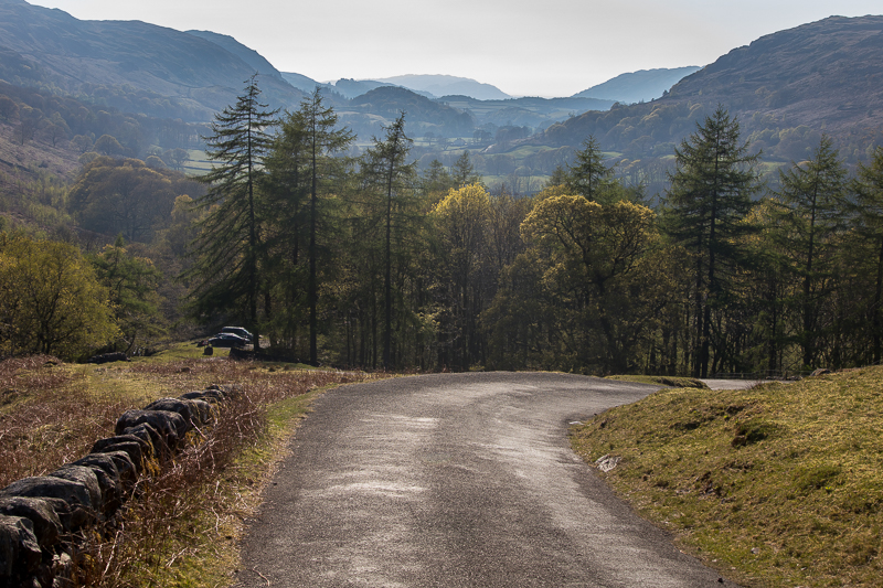
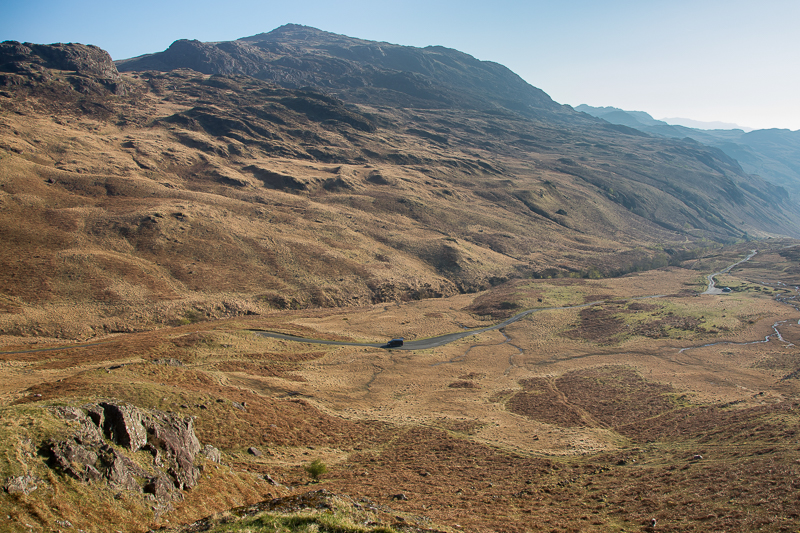
| 17.57 It is possible to follow the road up from the fort but we opted for the path up the side of the fell. Harter Fell on the other side of the valley and Green Crag in the far distance. |
 |
||
|---|---|---|
| 18.15 The cairn near the top of the pass where a left turn starts the walk up the fell. The early half of the walk was in heavy shadow making it quite cold. |
|
||
|---|---|---|
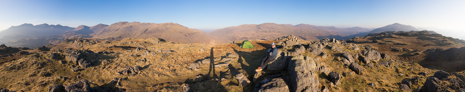
| 18.45 Panorama 1070 Hardknott summit. |
 |
||
|---|---|---|
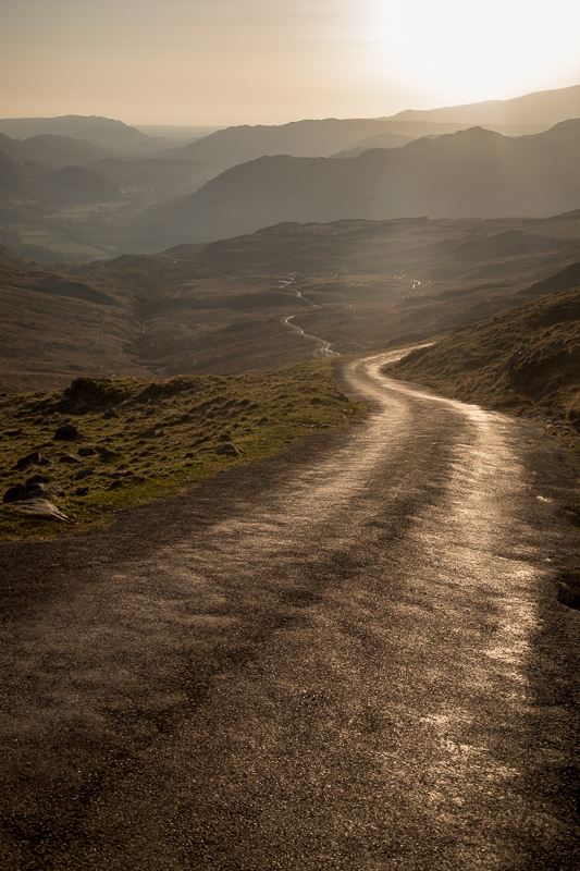
| 19.20 Returning on the road. |
 |
||
|---|---|---|
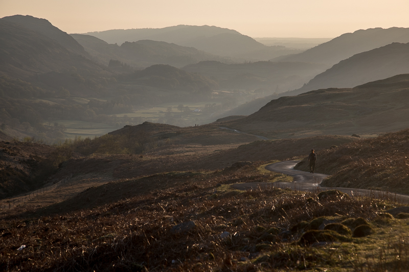
| 19.27 Further down - the tree tops on the left are at Jubilee Bridge, another 15 minutes away.. |
|
|
 |
|---|