Walk 47 - Troutbeck Tongue - 22nd July 2020 |
||||
Wainwright's Walking Guide to the Lake District Fells - Book 2 The Far Eastern Fells |
||||
#109 Troutbeck Tongue 1194 ft |
 |
Distance |
6.9 miles |
|
Time |
4 hrs |
|||
Lowest Point |
419 ft |
|||
Highest Point |
1194 ft |
|||
Total Ascent |
1161 ft |
|||
Walk Rating - easy |
||||
 |
Mini Route Map Go to walk start
|
 |
|---|
| We parked in a layby on the main road and walked along a path that veers off to the right and then rejoins the minor road leading up the valley. After a pleasant stroll along that road, which has very limited traffic, we veered right across a field then up along the side of the tongue itself. Eventually we turned left and then left again to walk up the gentle spine to the summit. (see video). We came down the steeper more direct route but even that is not bad and the walk could be made shorter by going up that way. | ||
 |
||
|---|---|---|
| 15.09 The cloud dropped onto the summit of Troutbeck Tongue as we arrived even though its only 1200ft. |
 |
||
|---|---|---|
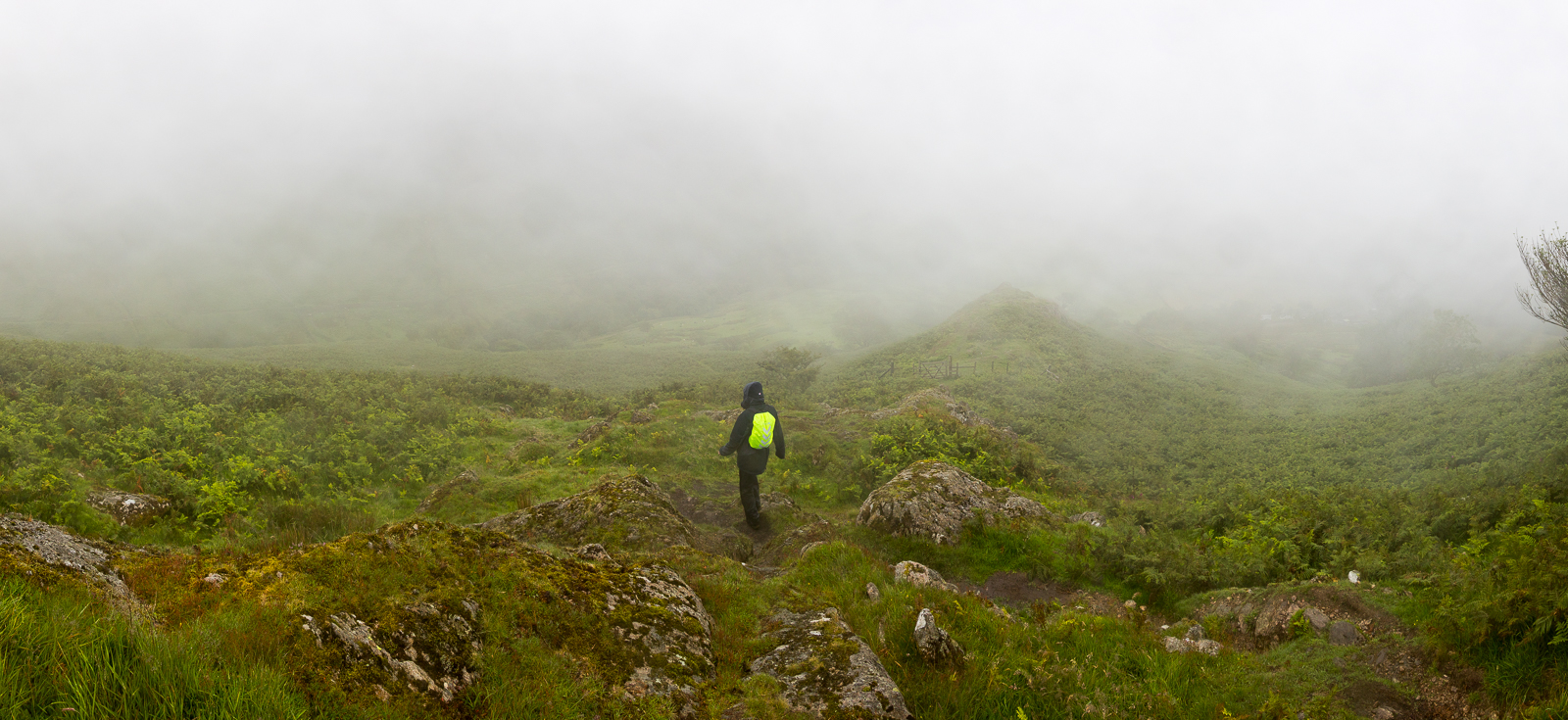
| 15.39 Gradually getting under the cloud on the way back down | ||
 |
||
| 15.43 Panorama 424 |
 |
||
|---|---|---|
| 15.43 |
 |
||
|---|---|---|
| 15.43 |
 |
||
|---|---|---|
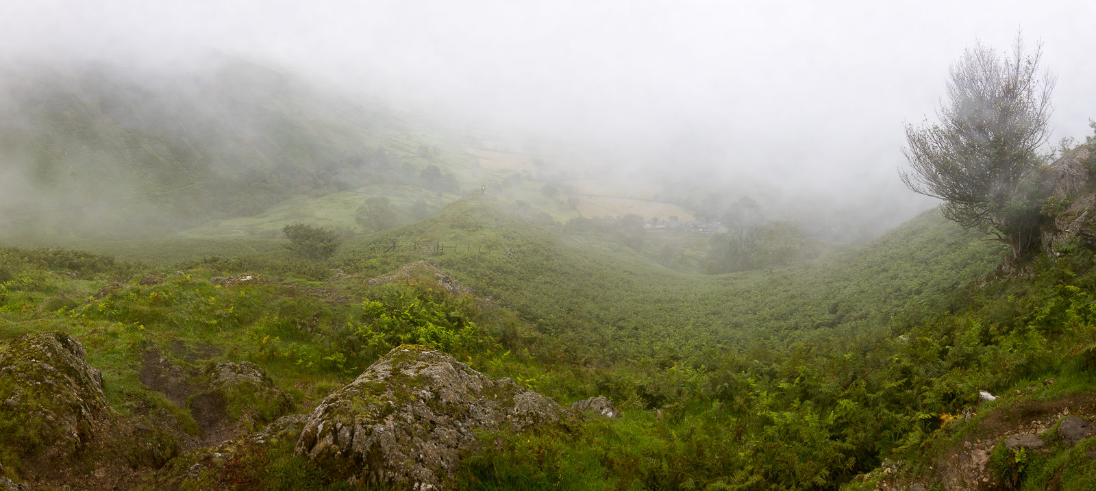
| 15.49 Tractors still working in the lane as we descend |
 |
||
| 15.50 Panorama 425 |
 |
||
|---|---|---|
| 16.23 Back on the valley floor |
 |
|---|