|
|
Walk 49 - Kentmere Horseshoe - 24th July 2020 |
||||
Wainwright's Walking Guide to the Lake District Fells - Book 2 The Far Eastern Fells |
||||
#111 Shipman Knotts 1926 ft |
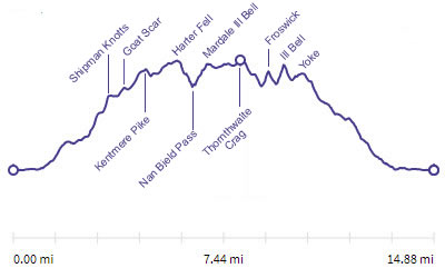 |
Distance |
14.7 miles |
|
Time |
11 hrs |
|||
Lowest Point |
504 ft |
|||
Highest Point |
2572 ft |
|||
Total Ascent |
4025 ft |
|||
Walk Rating - moderate but long |
||||
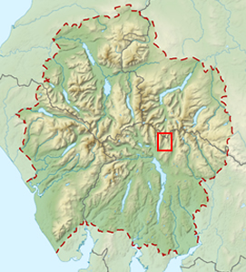 |
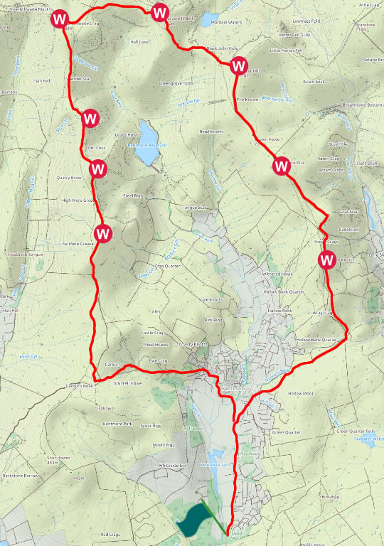
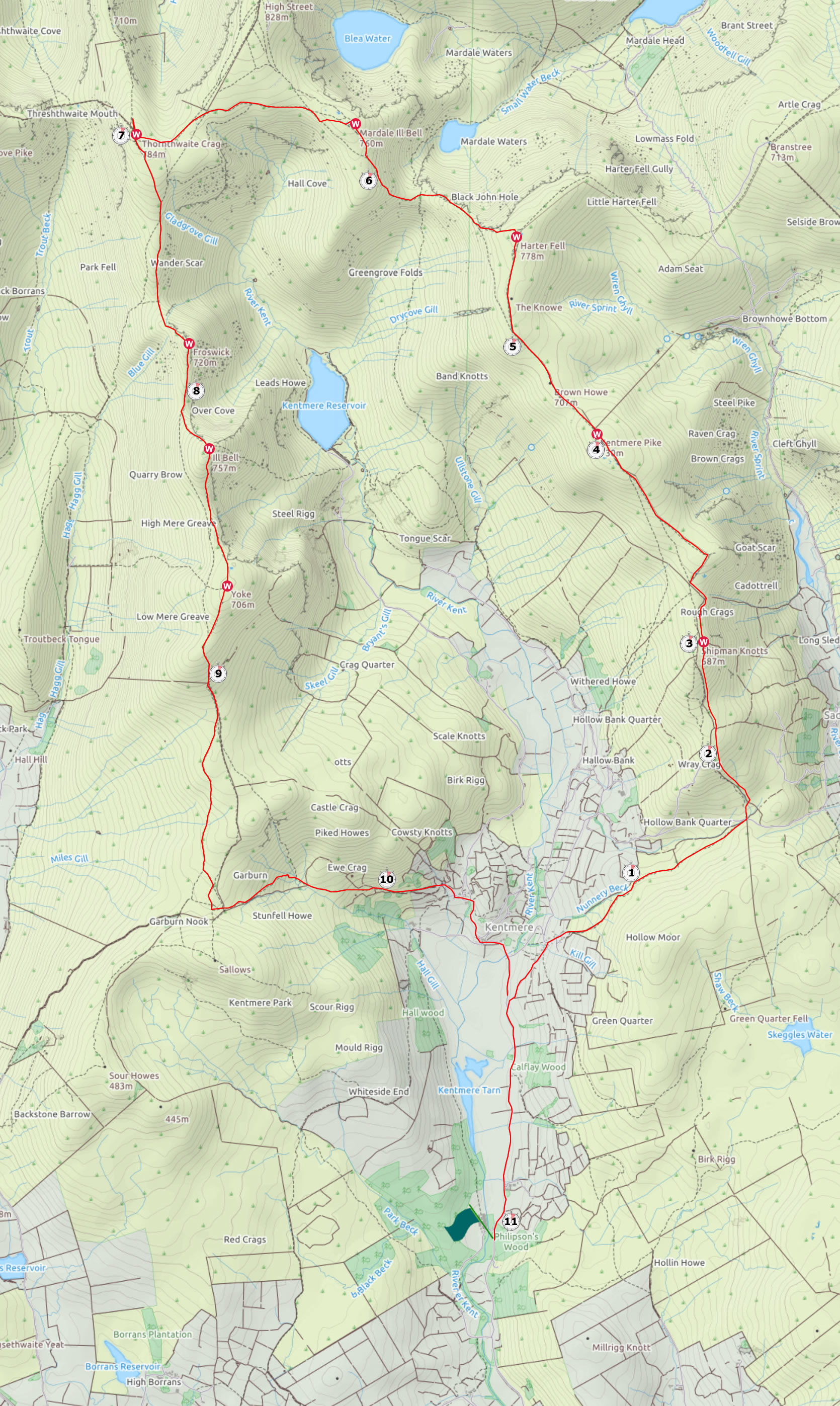
Mini Route Map Go to walk start
|
 |
|---|
 |
||
|---|---|---|
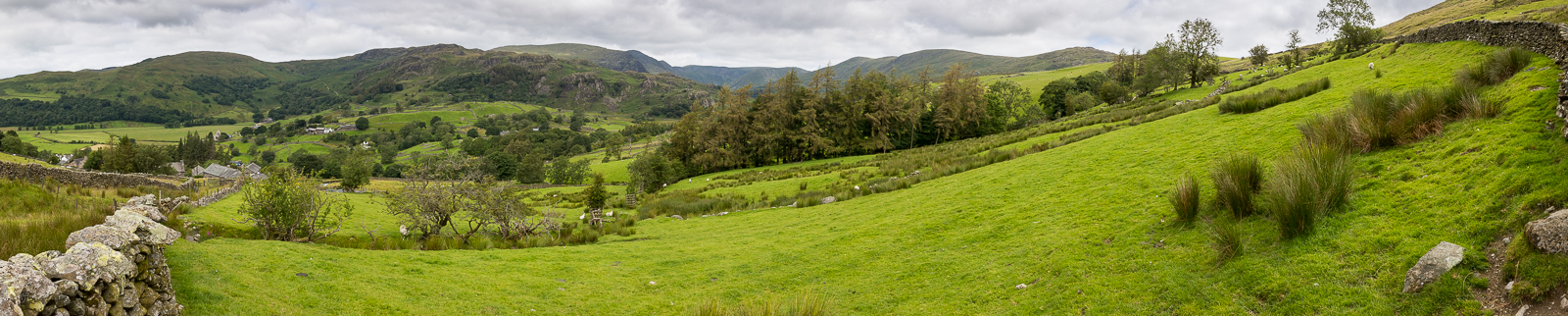
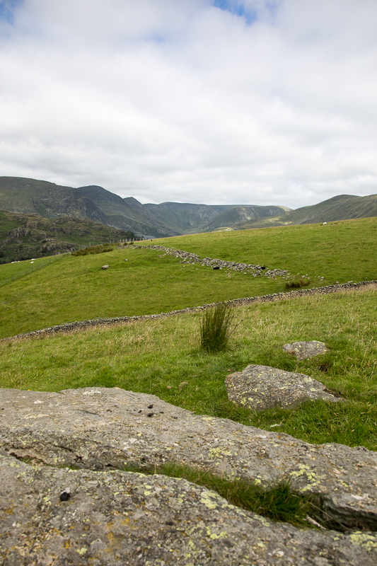
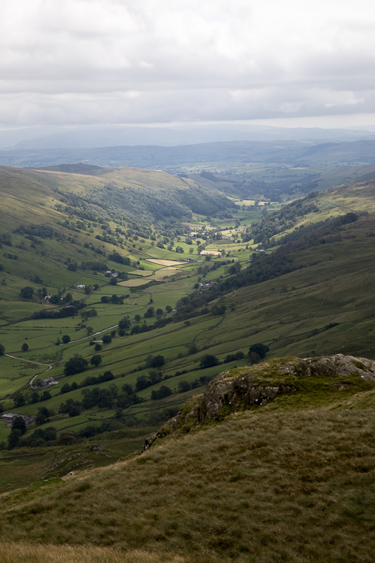
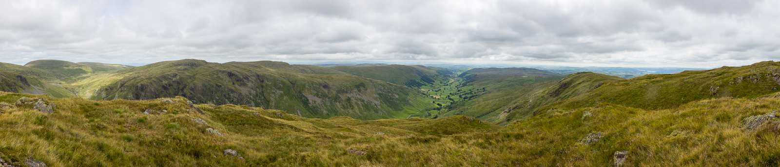
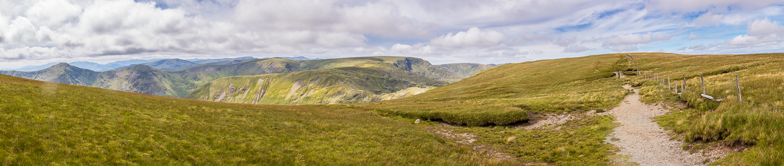
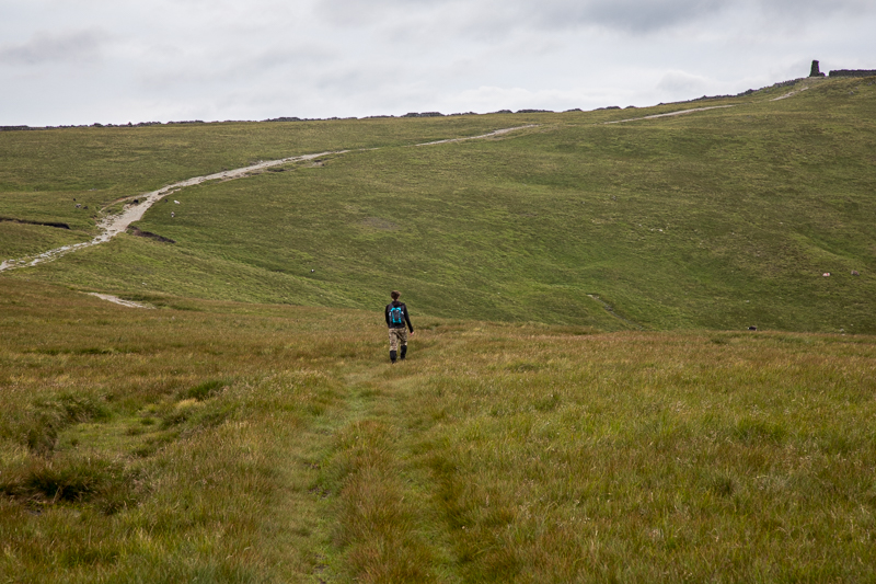
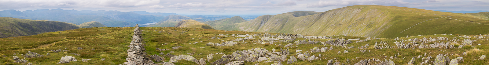
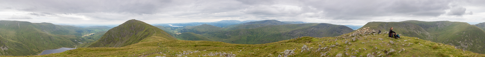
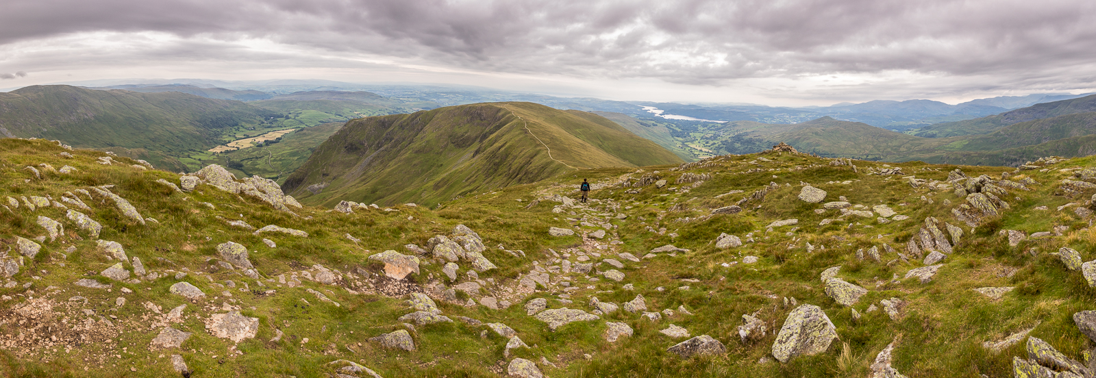
10.46 We had parked on the road south of Kentmere and left the car just after 10. A much better parking space for this walk would be at the Kentmere institute near St Cuthbert's Church (https://what3words.com/peach.crest.hilltop) but this has only 10 parking spaces and fills up very quickly. There is also sometimes parking in a field in Kentmere. However today we decided to park before we got to Kentmere and take the extra mile walk at each end of the day. Panorama 431 Walking up the east side of the horseshoe we had a view of most of the summits for the day from just above Kentmere. |
 |
||
|---|---|---|
| 11.00 |
 |
||
|---|---|---|
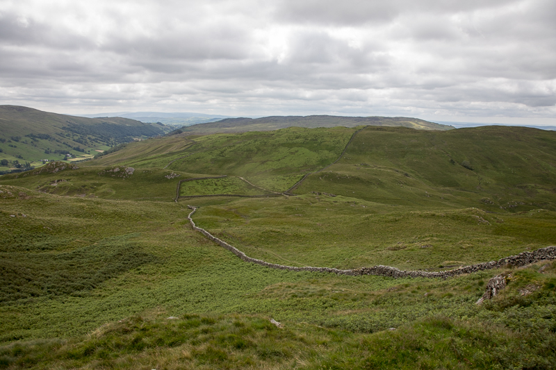
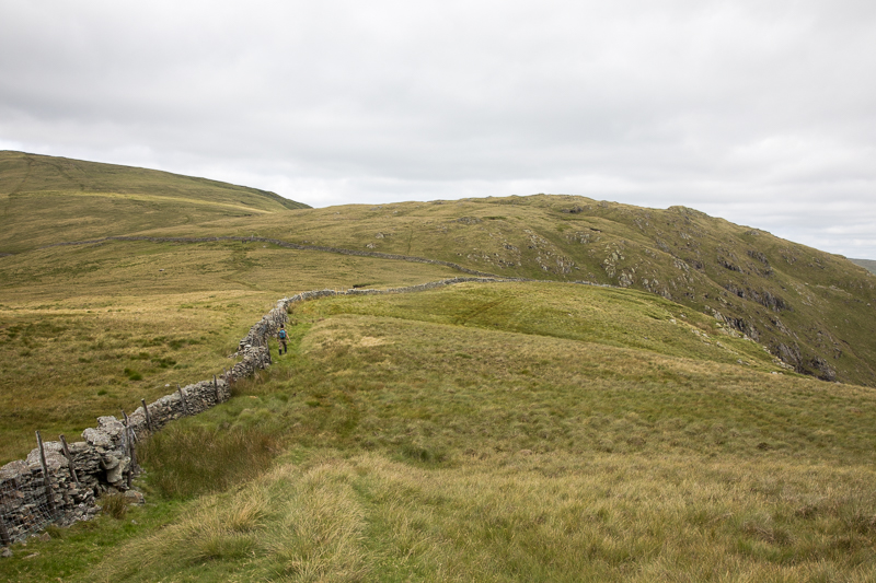
| 11.49 At the junction point of all the walls below we had crossed over the wall and were now on the east side of the wall so that we could bag Shipman Knotts later. |
 |
||
|---|---|---|
| 11.52 A jet passes below us, flying down Longsleddale valley to our east. |
 |
||
|---|---|---|
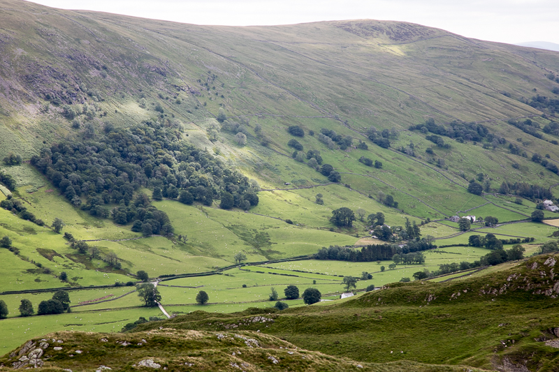
| 12.10 Sadgill somewhere down below us in that valley. |
 |
||
|---|---|---|
| 12.41 Longsleddale valley catches the sun. |
 |
||
|---|---|---|
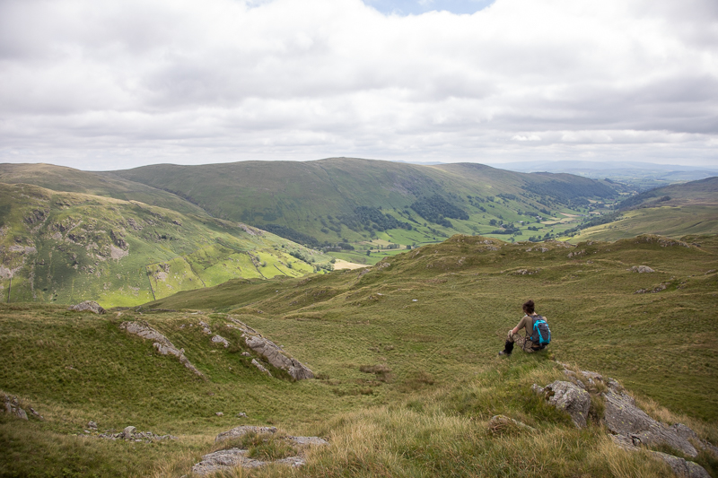
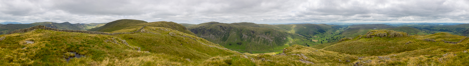
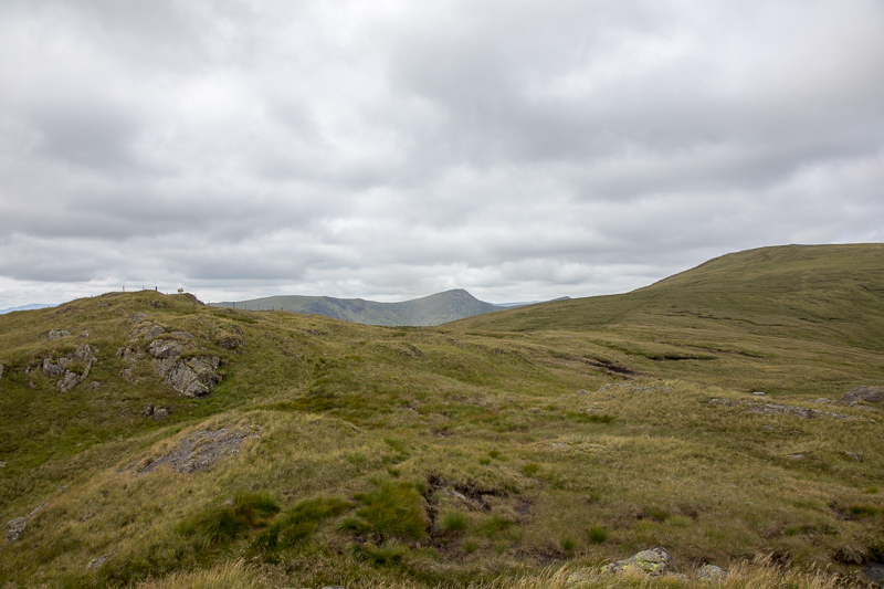
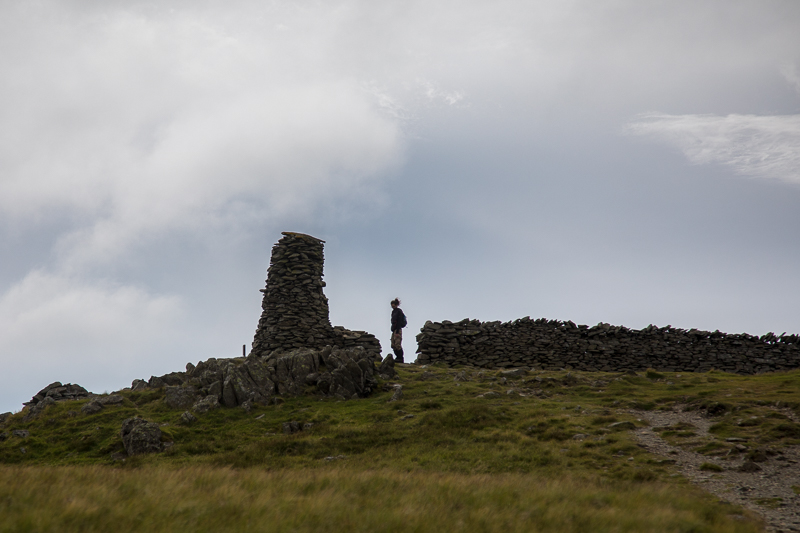
| 12.57 Panorama 432 Shipman Knotts summit to the east of the wall. |
 |
||
|---|---|---|
| 13.02 Heading north towards Goat Scar, the wall dips dangerously close to the edge but fine in clear weather. |
 |
||
|---|---|---|
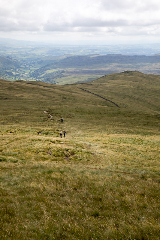
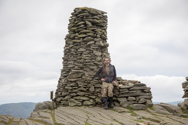
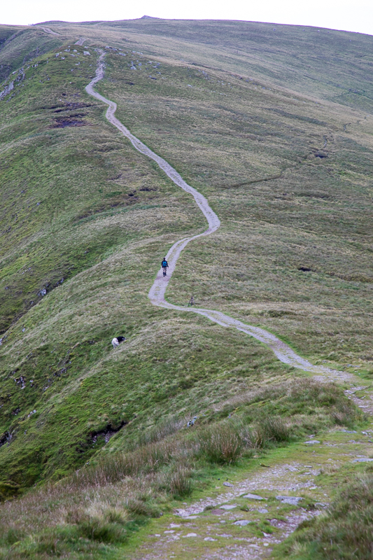
| 13.12 Looking back at Shipman Knotts all the other walkers are on the west of the wall and have to pretend they have reached the summit. |
 |
||
|---|---|---|
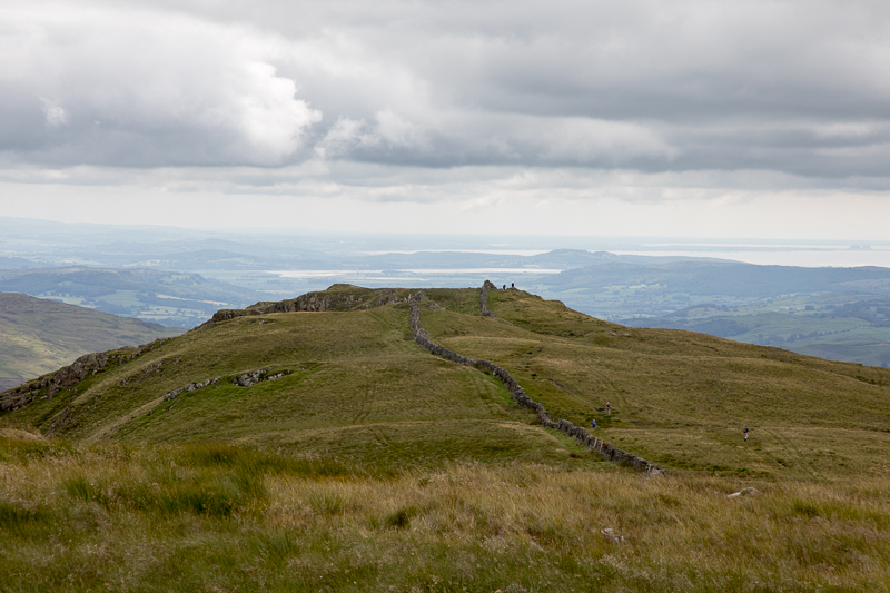
| 13.20 Panorama 433 Goat Scar summit |
 |
||
|---|---|---|
| 13.22 Yoke, Ill Bell and a tiy bit of Froswick, peak over the ridge. |
 |
||
|---|---|---|
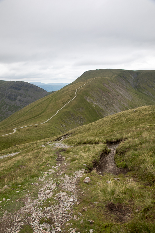
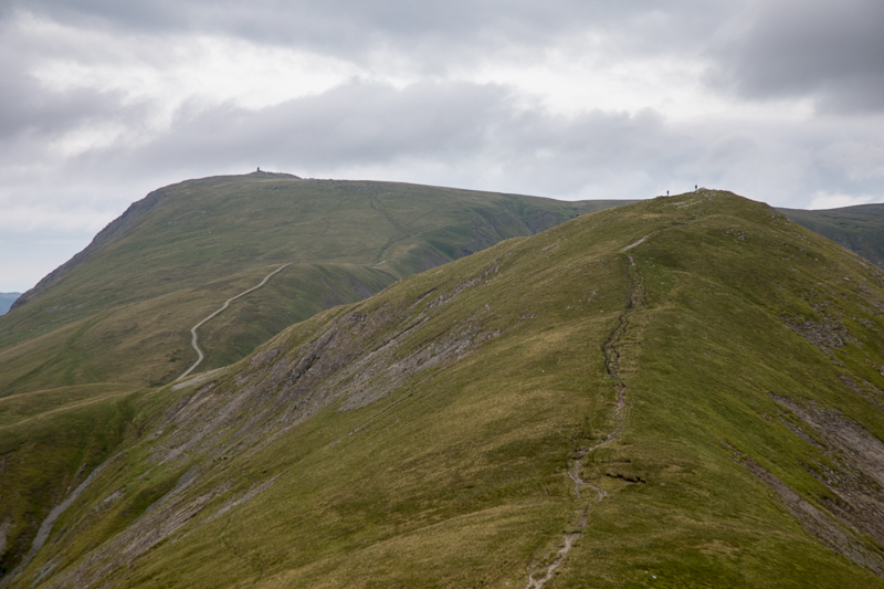
| 13.47 Ascending Kentmere Pike looking back at Shipman Knotts |
 |
||
|---|---|---|
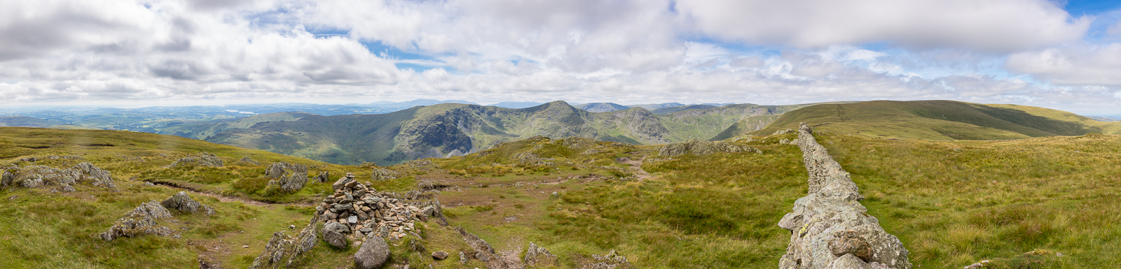
| 14.01 Panorama 434 Kentmere Pike summit sits right on the wall. Lunch stop on the east side out of the wind and we could hear others on the path. |
 |
||
|---|---|---|
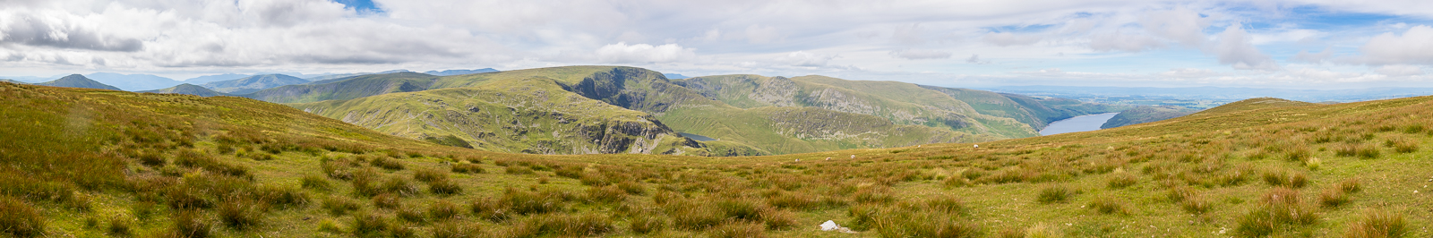
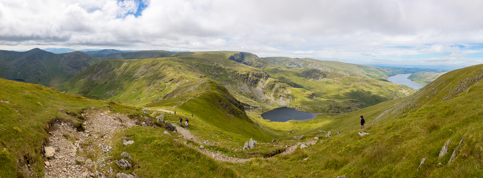
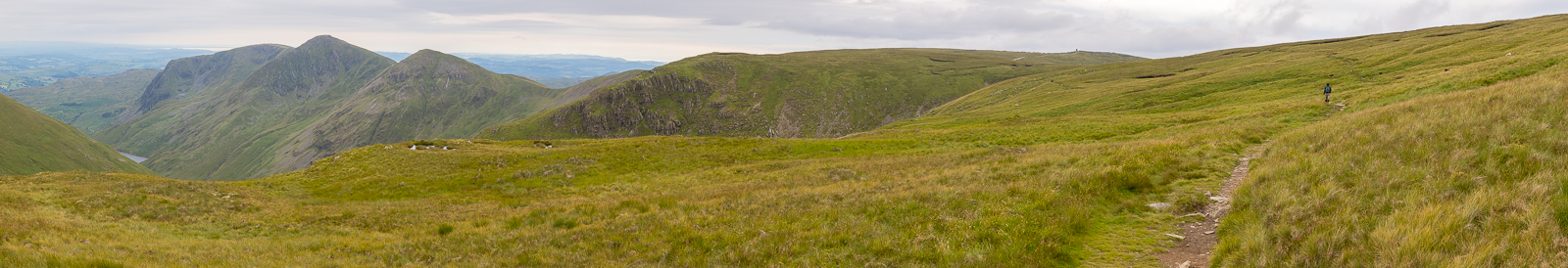
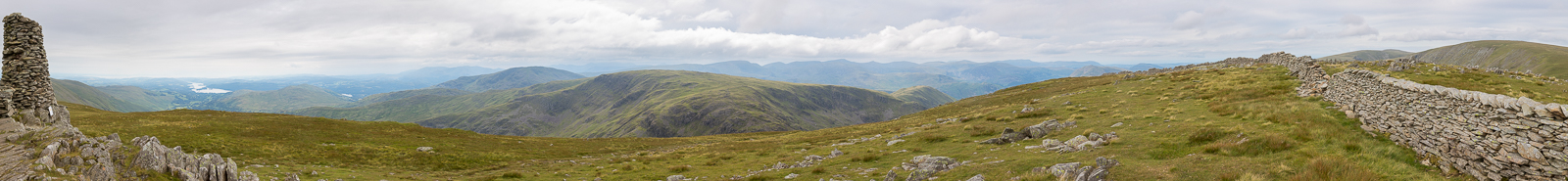
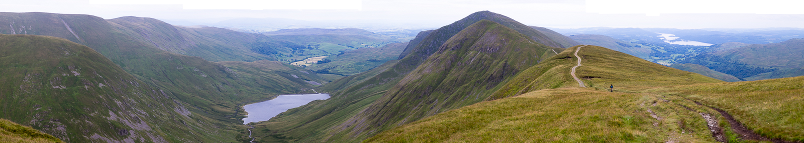
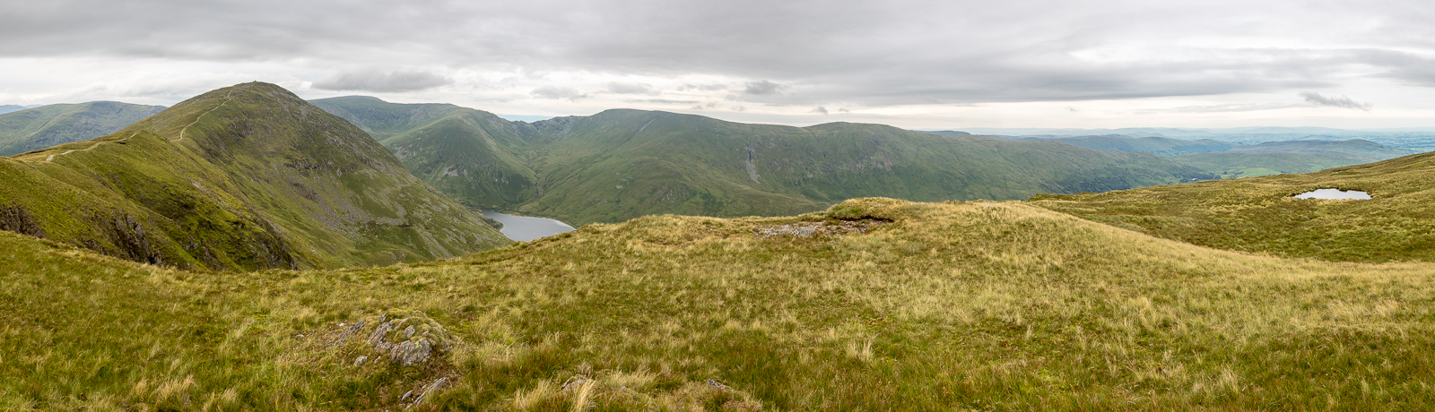
| 15.03 Panorama 435 Kentmere Horseshoe view, looking down on the drop at Nan Bield pass as we walk up the gentle slope to Harter Fell. |
 |
||
|---|---|---|
| 15.13 Panorama 436 At Harter Fell summit we were joined by lots of other walkers who had come up from the road in Mardale. |
 |
||
|---|---|---|
| 15.16 Harter Fell summit |
 |
||
|---|---|---|
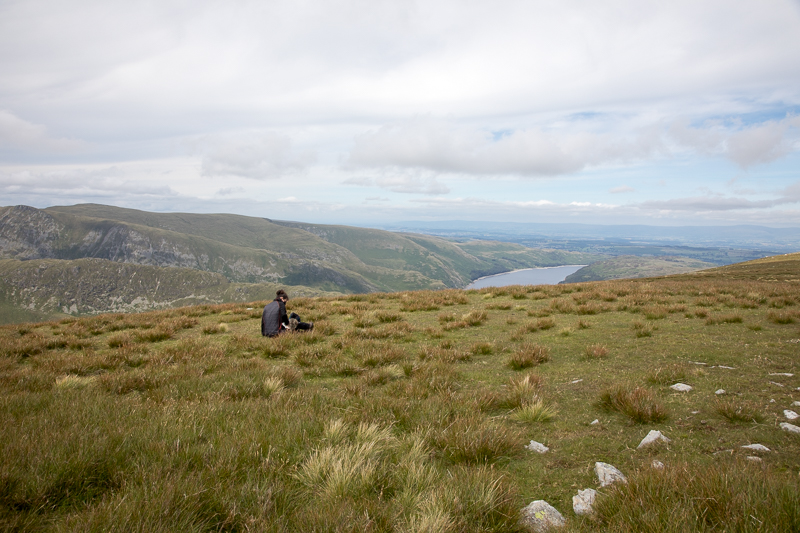
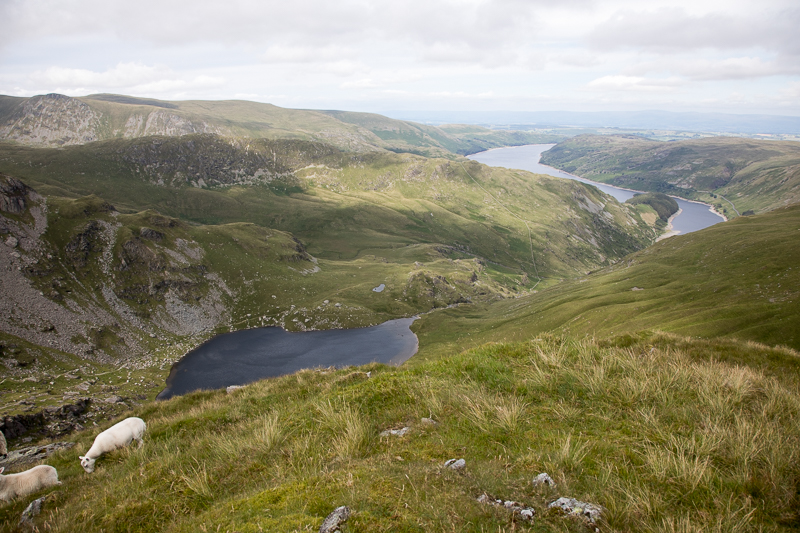
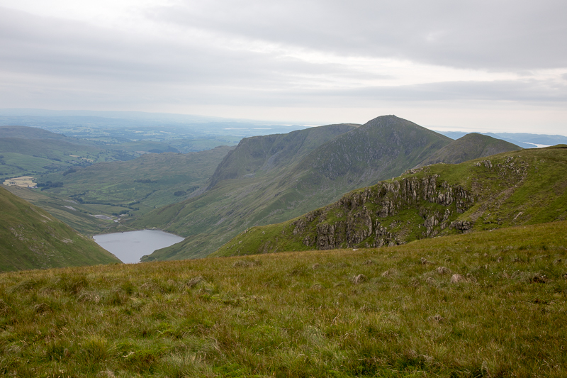
| 15.22 Small Water and a very tiny bit of Blea Water visible. |
 |
||
|---|---|---|
| 15.23 Panorama 437 Descending Harter Fell |
 |
||
|---|---|---|
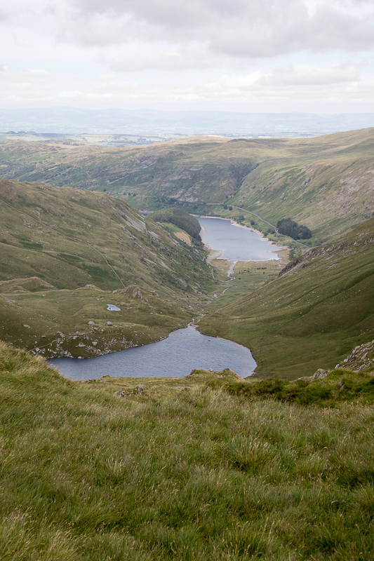
| 15.34 Small Water and Haweswater |
 |
||
|---|---|---|
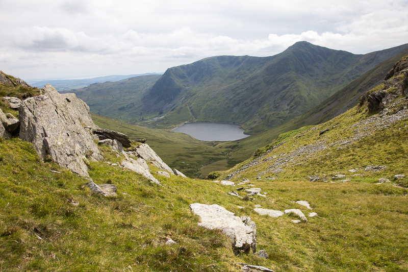
| 15.41 Kentmere reservoir from Nan Bield pass |
 |
||
|---|---|---|
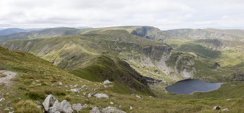
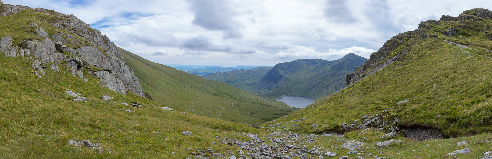
| 15.42 Panorama 438 Nan Bield Pass |
 |
||
|---|---|---|
| 15.49 Small Water and the head of Haweswater |
 |
||
|---|---|---|
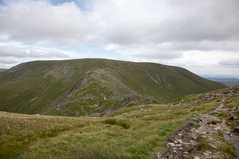
| 15.57 Looking back at Harter Fell as we enjoy the haul up to Mardale Ill Bell |
 |
||
|---|---|---|
| 16.23 Panorama 439 Mardale Ill Bell summit. Blea Water just visible. |
 |
||
|---|---|---|
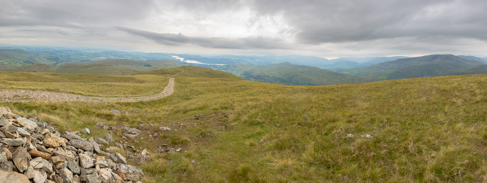
| 16.41 Panorama 440 Crossing the fairly level ground at the head of the valley to Thornthwaite Crag |
 |
||
|---|---|---|
| 16.46 Western side of the horseshoe |
 |
||
|---|---|---|
| 16.50 Thornthwaite Crag pillar makes for easy navigation. |
 |
||
|---|---|---|
16.59 |
 |
||
|---|---|---|
| 17.01 |
 |
||
|---|---|---|
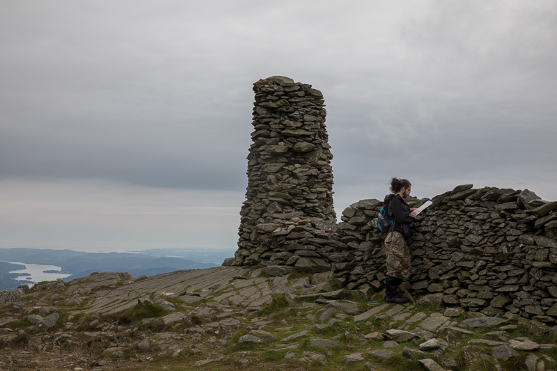
| 17.04 Panorama 441 Thornthwaite Crag summit looking south west |
 |
||
|---|---|---|
| 17.06 Panorama 442 Near Thornthwaite Crag summit looking north |
 |
||
|---|---|---|
| 17.07 |
 |
||
|---|---|---|
| 17.17 Panorama 443 Descending Thornthwaite Crag |
 |
||
|---|---|---|
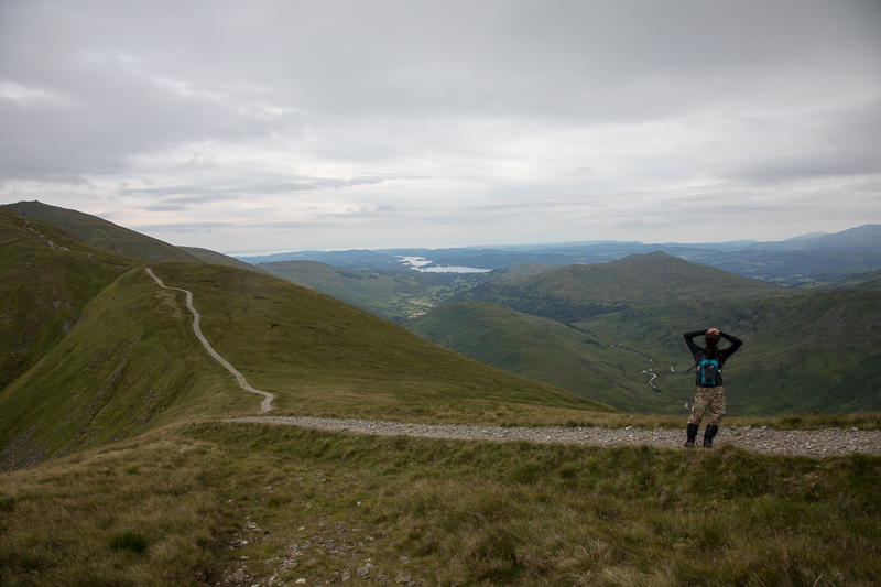
| 17.25 Overlooking Troutbeck Tongue and Wansfell |
 |
||
|---|---|---|
| 17.37 Looking back at Thornthwaite Crag as we ascend Froswick |
 |
||
|---|---|---|
| 17.45 Panorama 444 Froswick summit |
 |
||
|---|---|---|
| 18.11 Walkers behind us reach the summit of Froswick as we ascend Ill Bell. |
 |
||
|---|---|---|
| 18.24 Panorama 445 Ill Bell summit looking north |
 |
||
|---|---|---|
| 18.27 Panorama 446 Descending Ill Bell |
 |
||
|---|---|---|
| 18.33 Ascending Yoke |
 |
||
|---|---|---|
| 18.46 Panorama 447 Yoke summit looking north. Froswick and Thornthwaite Crag hidden behind Ill Bell. |
 |
||
|---|---|---|
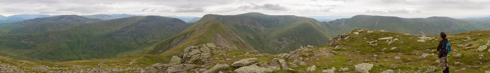
| 18.52 Panorama 448 Descending Yoke with Sallows and Sour Howes visible. A 2 hour walk back to the car from here. |
|
|
 |
|---|