|
|
Walk 66 - Wetherlam - 19th December 2021 |
||||
Wainwright's Walking Guide to the Lake District Fells - Book 4 The Southern Fells |
||||
#153 Wetherlam 2500 ft |
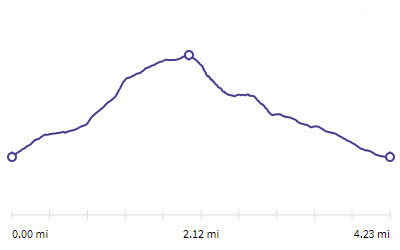 |
Distance |
4.2 miles |
|
Time |
5.5 hrs |
|||
Lowest Point |
498 ft |
|||
Highest Point |
2500 ft |
|||
Total Ascent |
2194 ft |
|||
Walk Rating - moderate |
||||
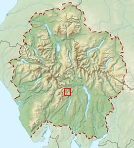 |
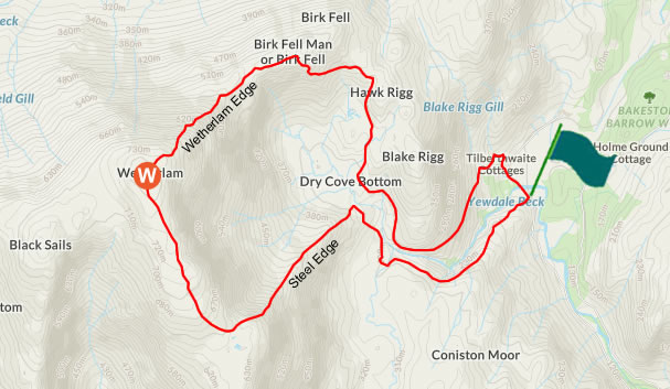
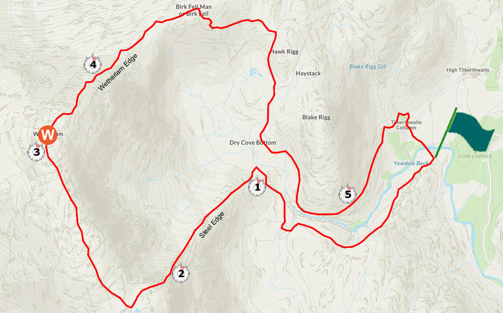
Mini Route Map Go to walk start
|
 |
|---|
 |
||
|---|---|---|
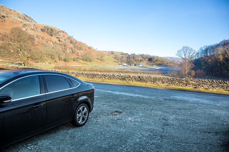
| 11.07 Leaving the car in Tilberthwaite. |
The ascent of Wetherlam by way of Steel Edge is deservedly popular. Coupled with a descent via Wetherlam Edge, this is a round trip of the very highest order. Tilberthwaite has good parking. |
|||||
Alfred Wainwright - The Southern Fells. Wetherlam 10. |
|||||
 |
||
|---|---|---|
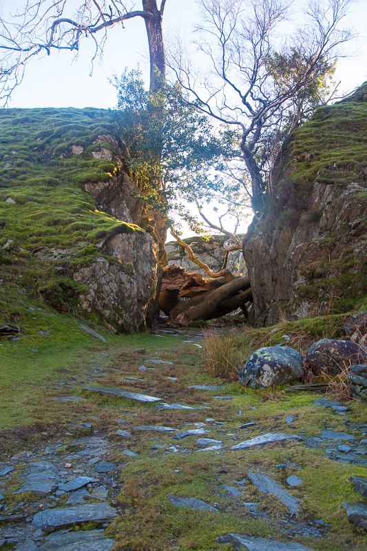
11.14 Storm damage at the mouth of one of the quarry areas. |
 |
||
|---|---|---|
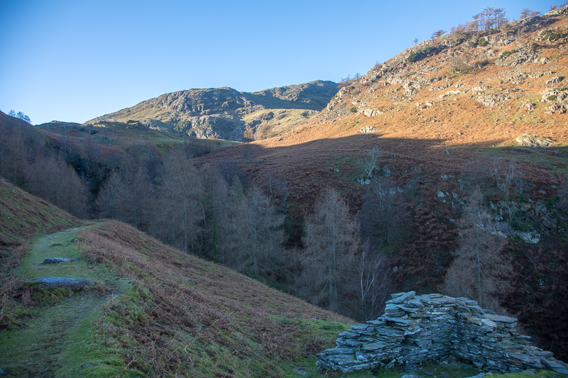
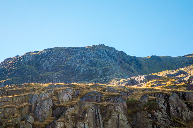
11.18 Looking across the gill and up to Steel Edge. |
 |
||
|---|---|---|
| 11.22 Looking back |
 |
||
|---|---|---|
| 11.54 Looking down the gill from near the bottom of Steel Edge. |
 |
||
|---|---|---|
| 12.03 Looking up at Steel Edge and trying to see the route. |
 |
||
|---|---|---|
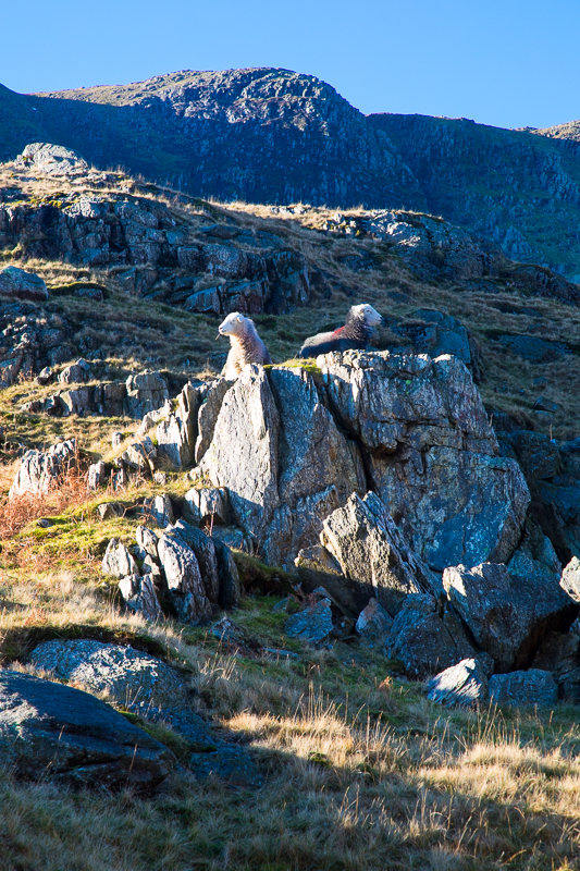
| 12.07 The guardians of Steel Edge. |
 |
||
|---|---|---|
| 12.10 We had been close to this group but their guide was taking them up Wetherlam Edge. |
 |
||
|---|---|---|
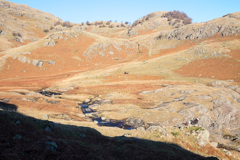
| 12.22 Looking down at a large group stopped on the path. They appeared to be prospecting or planting on the fellside. |
 |
||
|---|---|---|
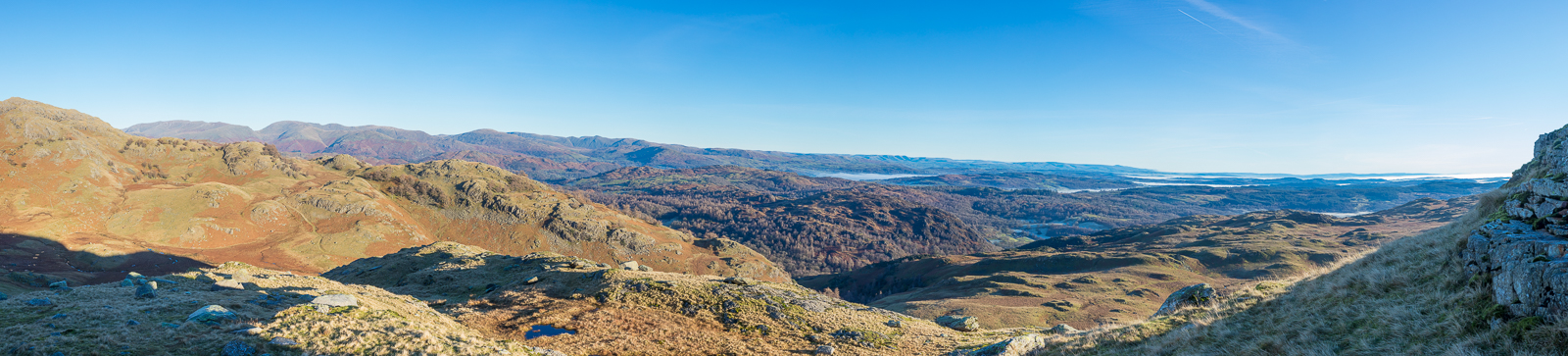
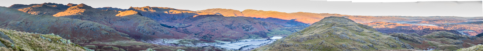
| 12.31 Panorama 624 From halfway up Steel Fell ie before the really serious bit. |
 |
||
|---|---|---|
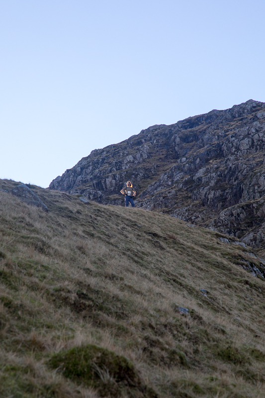
| 12.33 Nick is at the top of the gentler part of Steel Edge with the steep bit behind him. |
The upper section of Steel Edge looks formidable from the grassy lower slopes, and, indeed, it is steep, but apart from some simple scrambling sections it holds no terrors. Its only drawback is that it is too short. |
|||||
Alfred Wainwright - The Southern Fells. Wetherlam 10. |
|||||
 |
||
|---|---|---|
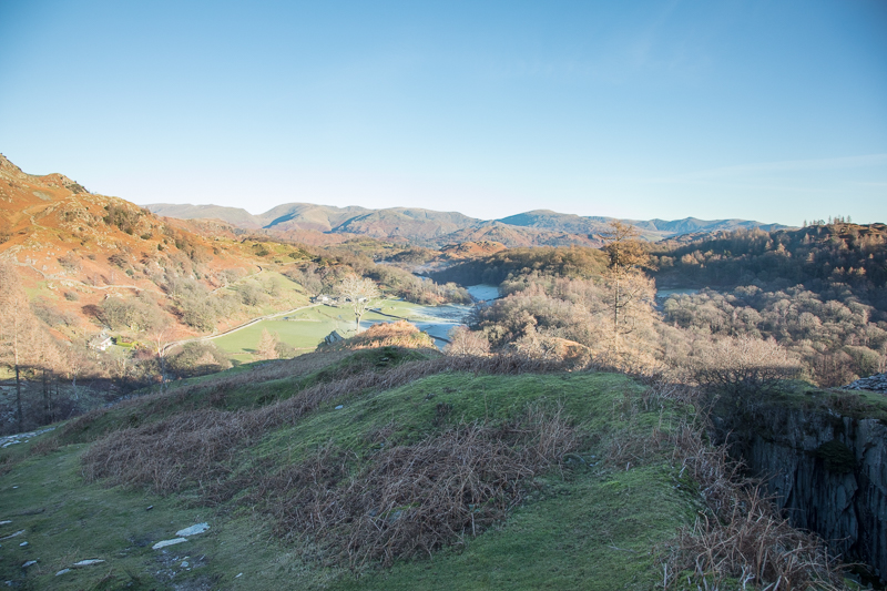
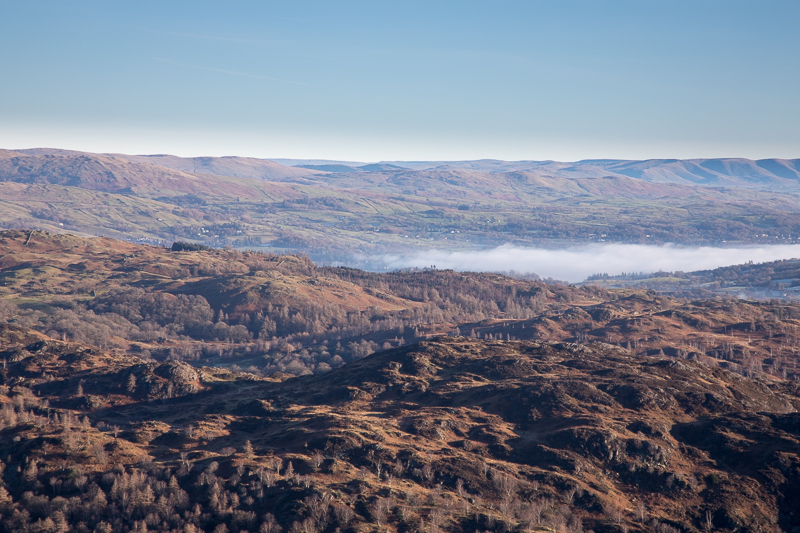
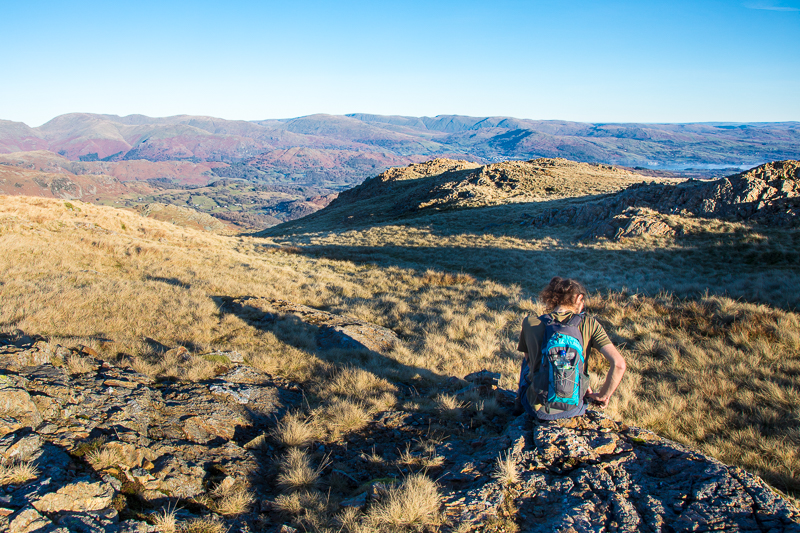
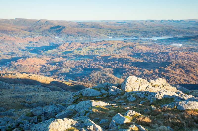
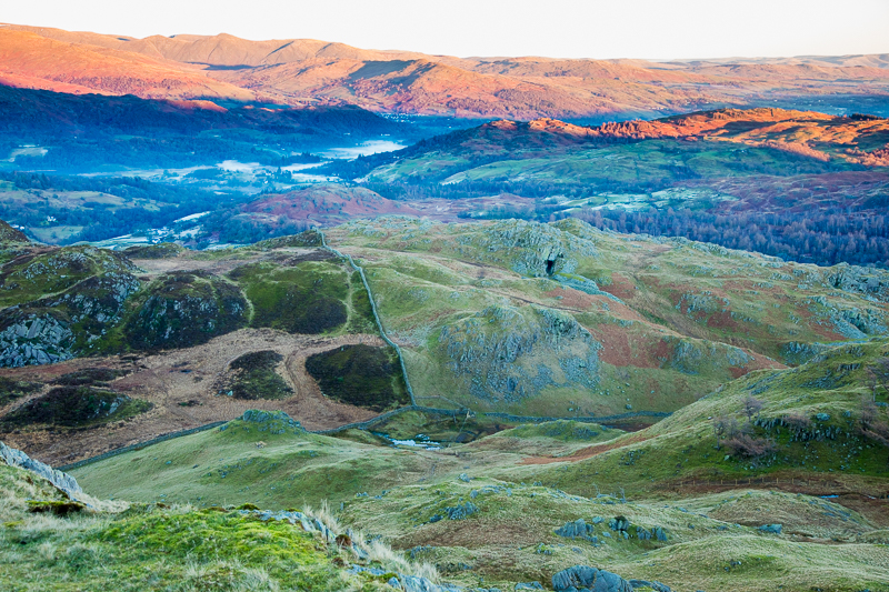
| 12.35 Looking over the northern end of Windermere. |
 |
||
|---|---|---|
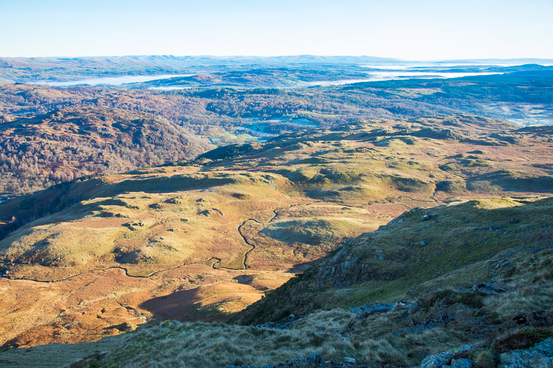
| 12.51 The winding path made by Crook Beck is below us now. |
 |
||
|---|---|---|
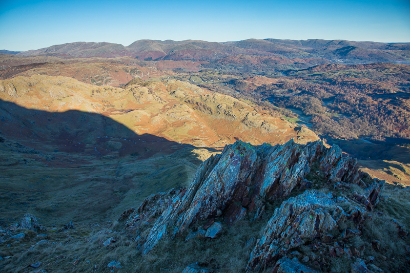
| 13.17 Near the top of Steel Edge. |
 |
||
|---|---|---|
| 13.20 Time to remove layers as we reach the top of Steel Edge and emerge out into the sun. We are usually adding layers as we get higher but today we suddenly felt much warmer. |
 |
||
|---|---|---|
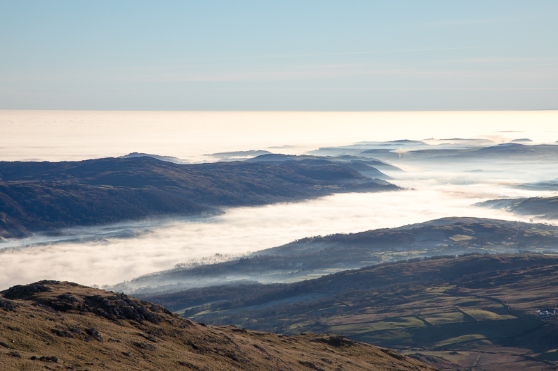
| 13.39 Looking south with Coniston Water under cloud. |
 |
||
|---|---|---|
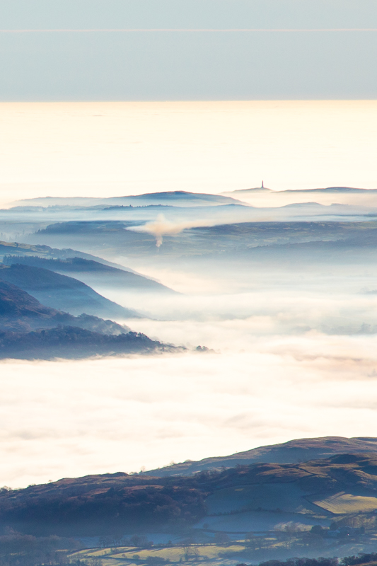
| 13.39 Distant coast with Hoad Monument near Ulverston. |
 |
||
|---|---|---|
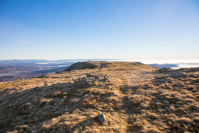
| 13.51 Looking back from near the summit of Wetherlam. A nice gentle walk from the top of Steel Edge. |
 |
||
|---|---|---|
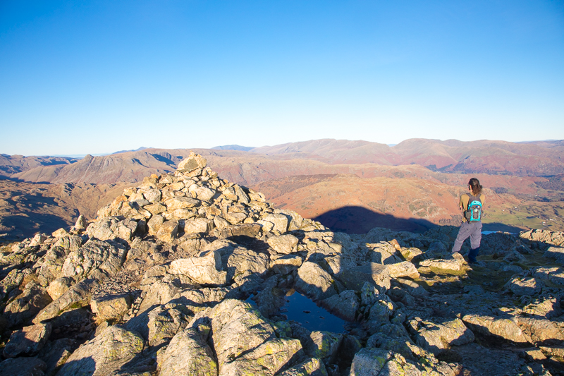
| 13.57 Wetherlam summit. |
 |
||
|---|---|---|
| 14.00 Panorama 625 Wetherlam summit looking north. |
 |
||
|---|---|---|
| 14.24 Panorama 626 Wetherlam summit looking south. |
 |
||
|---|---|---|
| 14.25 Looking north towards the Langdales |
 |
||
|---|---|---|
| 14.25 Looking north-west towards the Scafells. |
 |
||
|---|---|---|
| 14.25 Looking south-east towards Windermere. |
 |
||
|---|---|---|
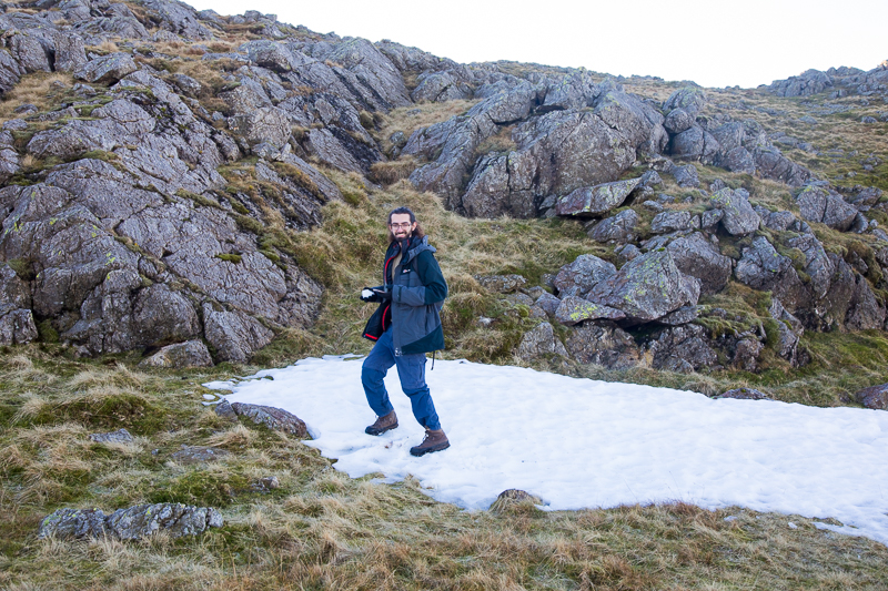
| 14.31 One of two large patches of snow still left in the shade. |
 |
||
|---|---|---|
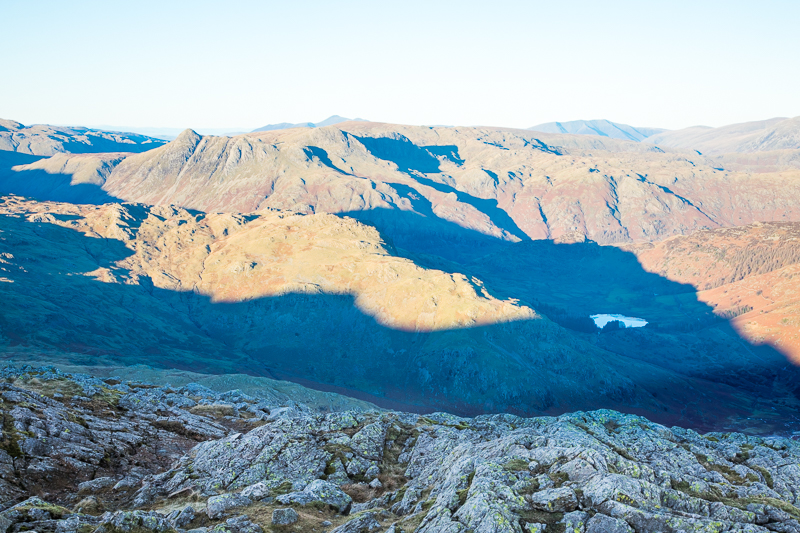
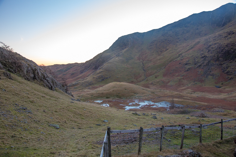
| 15.17 Panorama 627 Descending down Wetherlam Edge. We didn't find the path for a while so made slow progress down slippery rocks. A very chilly looking Little Langdale in the shadow below us. We were not looking forward to having to go over Birk Fell but it did not involve much real ascent. |
 |
||
|---|---|---|
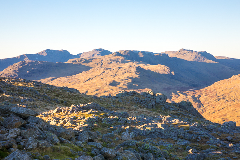
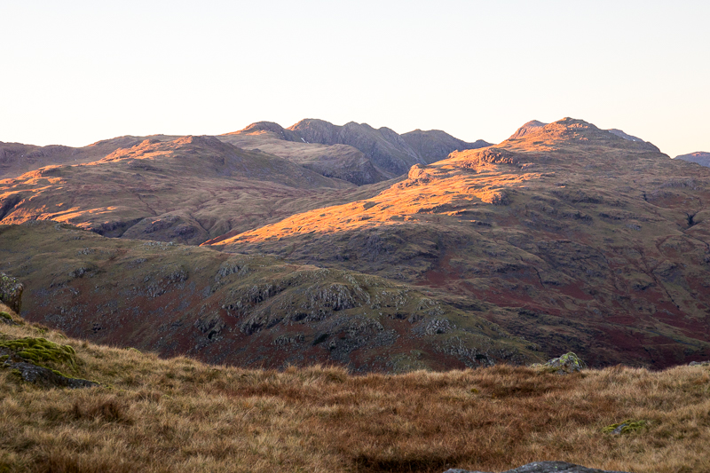
| 15.33 Sun catching the side of Pike O'Blisco with Cold Pike and Crinkle Crags behind. |
 |
||
|---|---|---|
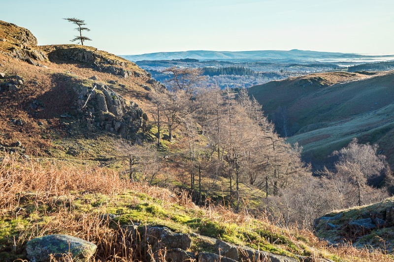
| 15.34 Tilberthwaite fells below us with Langdale valley beyond. |
 |
||
|---|---|---|
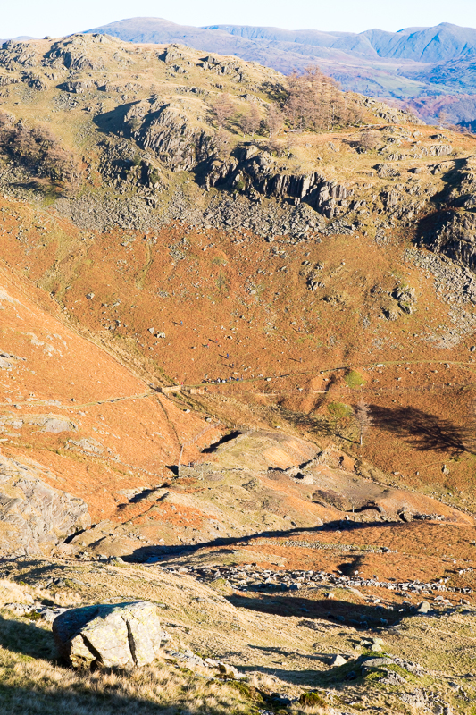
| 15.46 Dropping down through the upper valley we got a good view of Steel Edge showing its true slope. |
 |
||
|---|---|---|
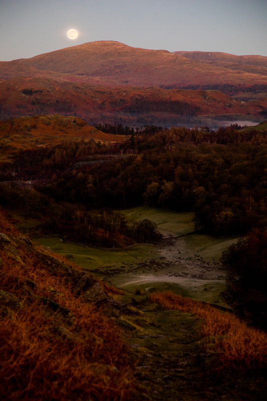
| 16.14 As we walked home we were on the northern side of Tilberthwaite Gill this time. It plunged down incredibly steeply to the river below us from close to the path. The route curved around Blake Rigg and as we walked down it suddenly revealed a huge moon, just risen over Red Screes. |
|
|
 |
|---|