|
|
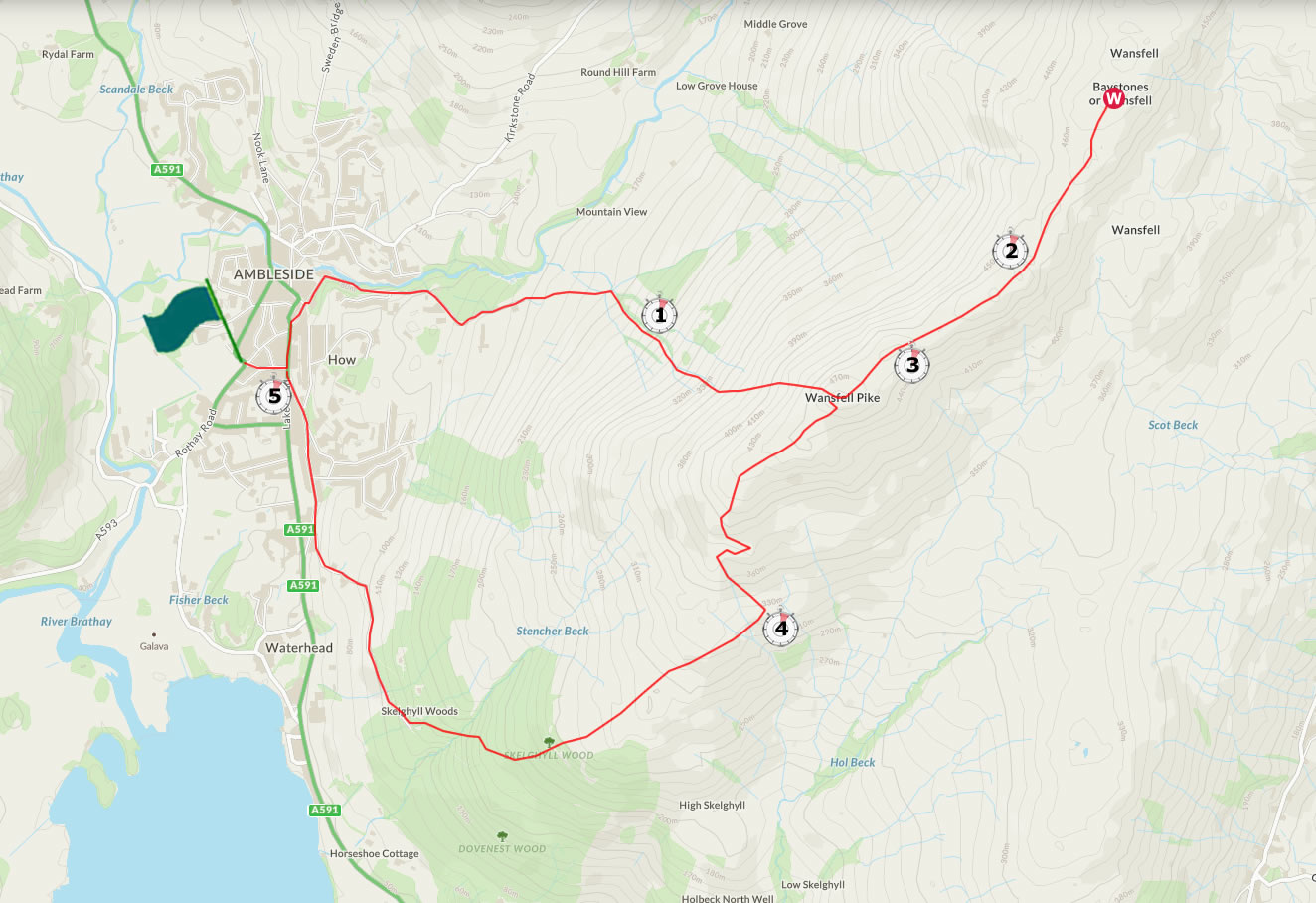
Walk 65 - Wansfell - 18th December 2021 |
||||
Wainwright's Walking Guide to the Lake District Fells - Book 2 The Far Eastern Fells |
||||
#152 Wansfell 1598 ft |
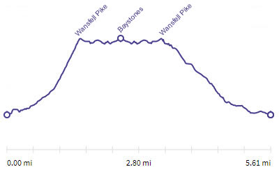 |
Distance |
5.6 miles |
|
Time |
5 hrs |
|||
Lowest Point |
158 ft |
|||
Highest Point |
1598 ft |
|||
Total Ascent |
1948 ft |
|||
Walk Rating - moderate |
||||
 |
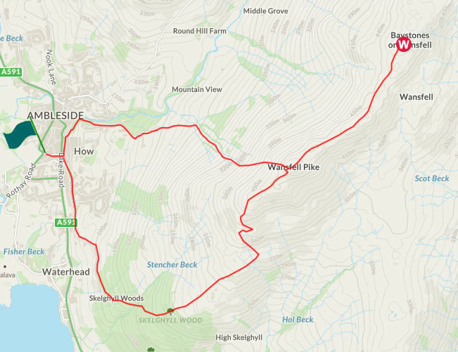
Mini Route Map Go to walk start
|
 |
|---|
 |
||
|---|---|---|
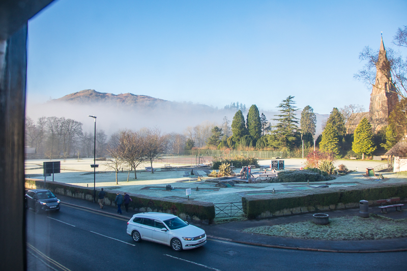
| 11.02 Looking out of the bedroom window towards Loughrigg Fell. I had already had breakfast and been to Windermere to get a tyre repaired after last nights puncture. I eventually left around 11.15 |
 |
||
|---|---|---|
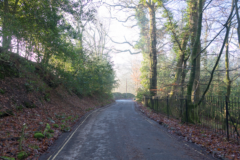
11.33 Walking up Stockghyll Lane out of Ambleside. |
 |
||
|---|---|---|
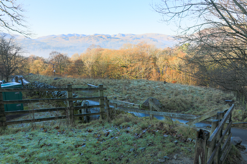
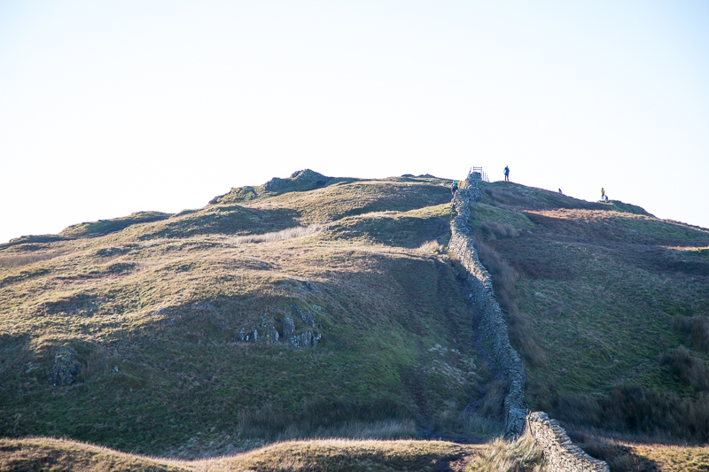
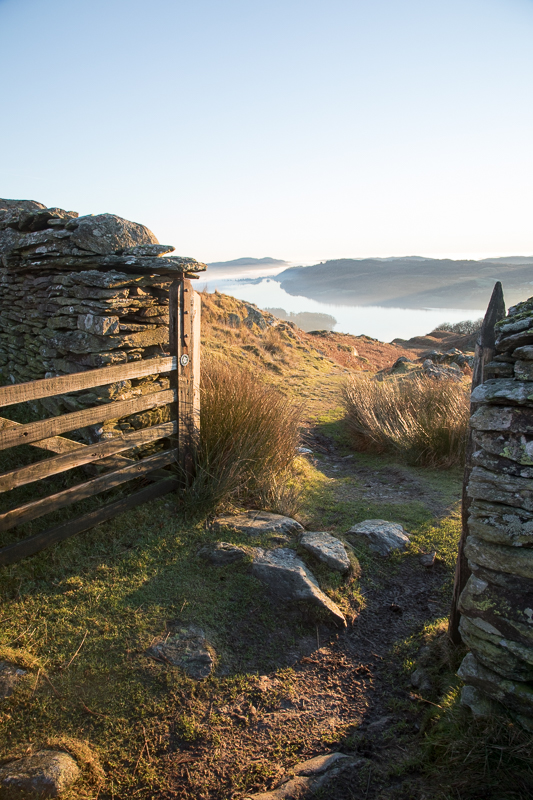
11.41 This is the gate where the route leaves the lane and heads up the fell towards Wansfell Pike. |
 |
||
|---|---|---|
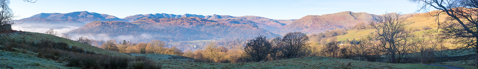
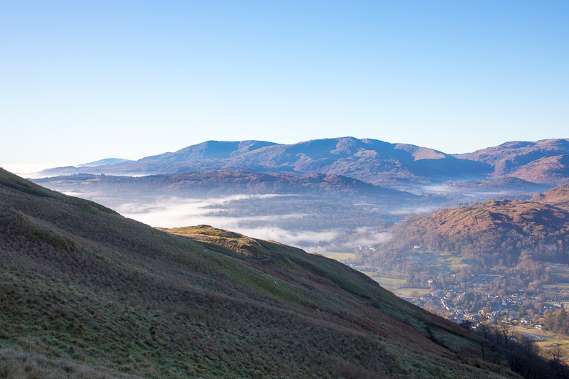
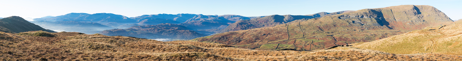
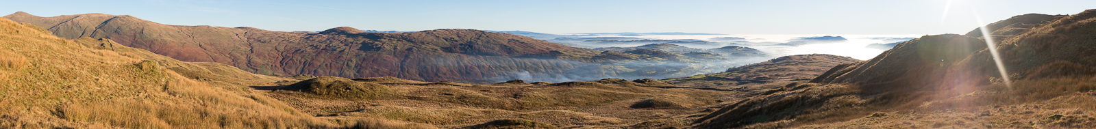
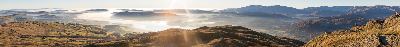
| 11.46 Panorama 617 Starting the walk up the fell with many fells in view already.. |
 |
||
|---|---|---|
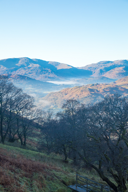
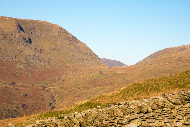
| 12.05 Looking west towards Hardknott Pass. |
 |
||
|---|---|---|
| 12.17 Coniston Fells with Wetherlam in the centre. |
 |
||
|---|---|---|
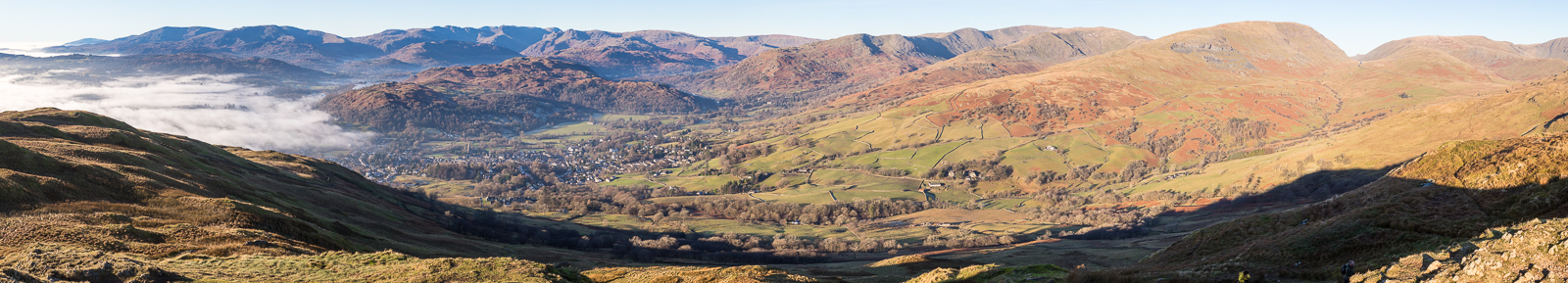
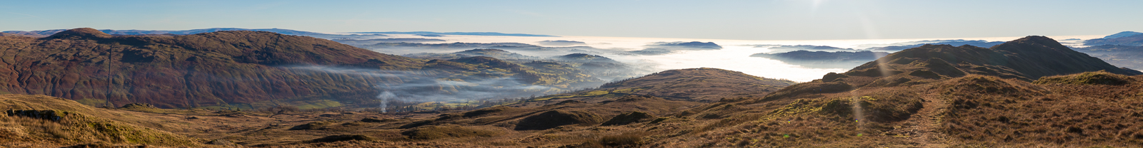
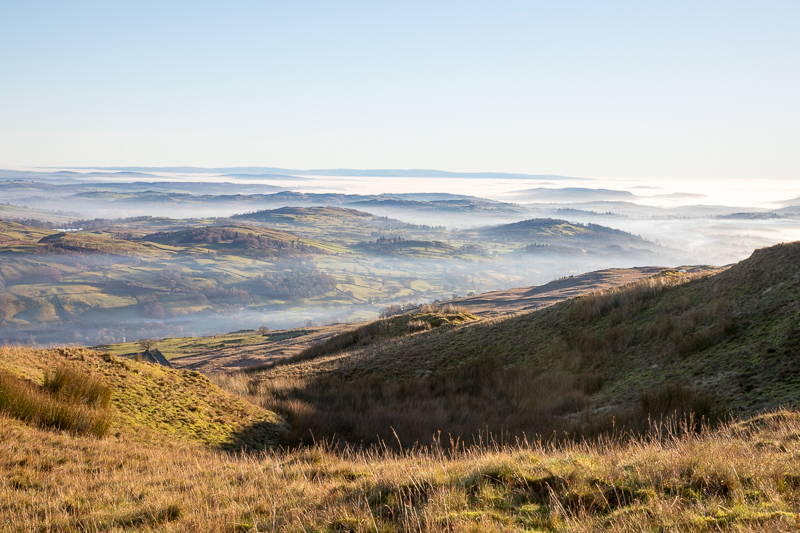
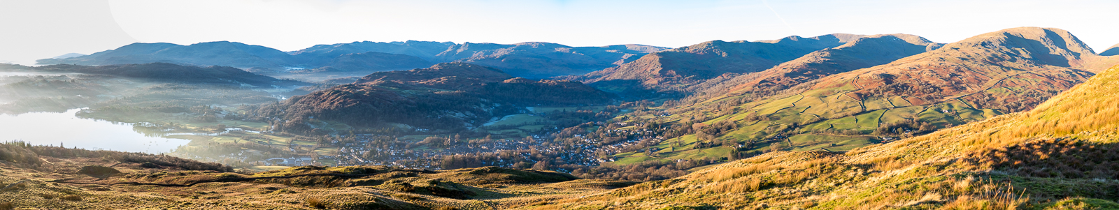
| 12.33 Panorama 618 Looking over Ambleside after an hours walking. Nearly at Wansfell Pike now. |
 |
||
|---|---|---|
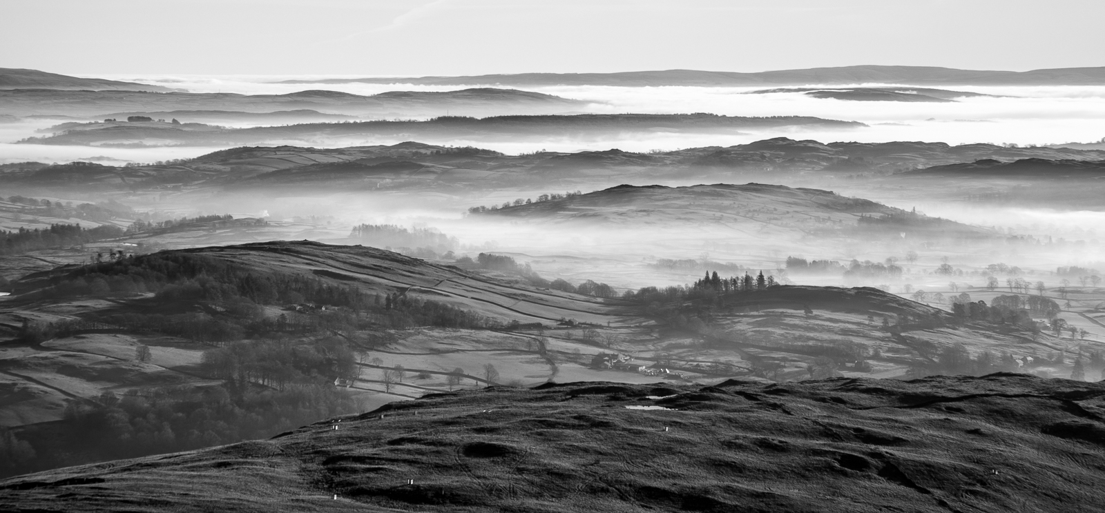
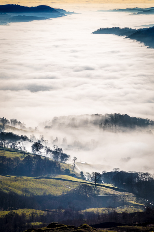
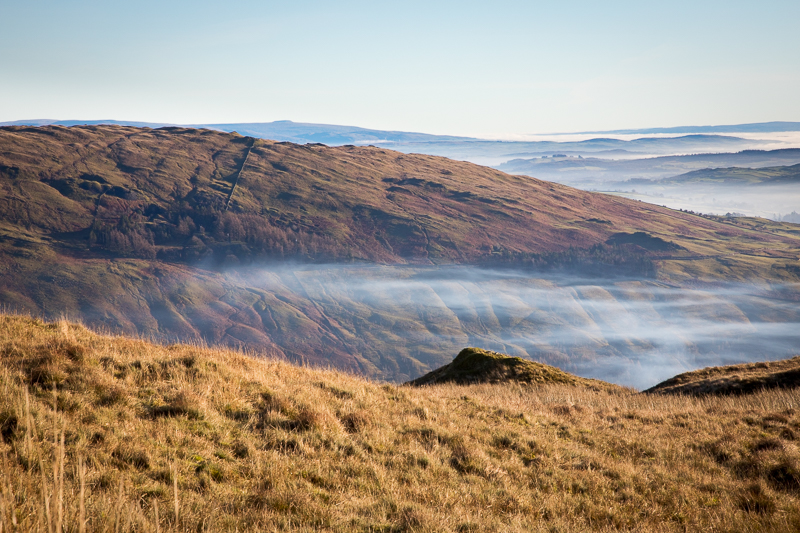
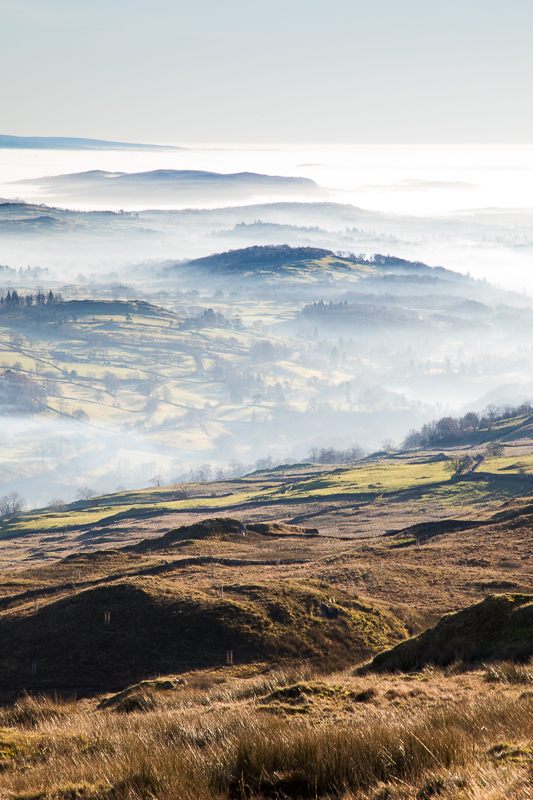
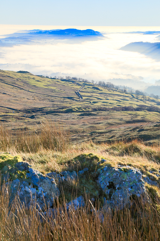
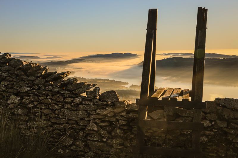
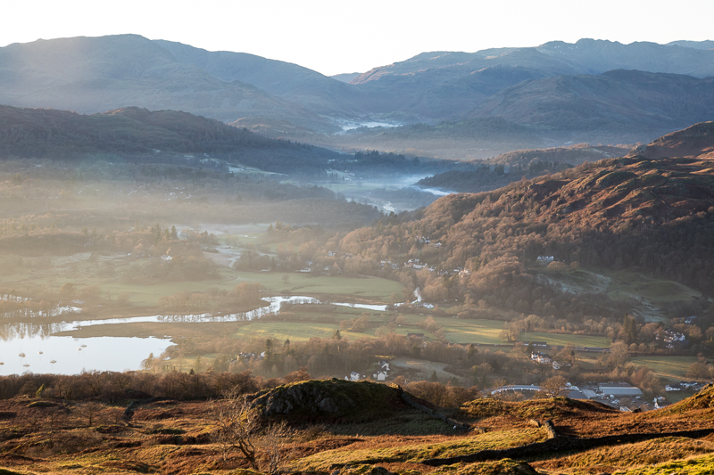
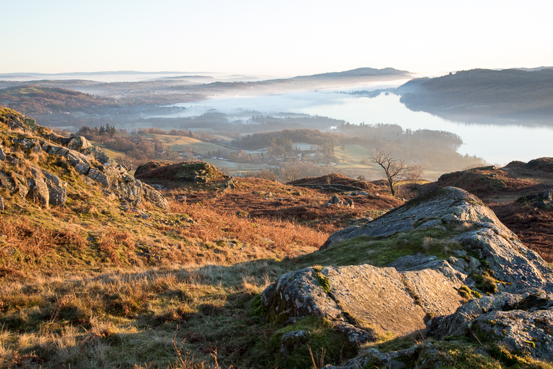
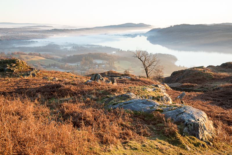
| 12.37 Looking south from Wansfell Pike I was greeted with an amazing view of misty valleys stretching to the horizon. |
 |
||
|---|---|---|
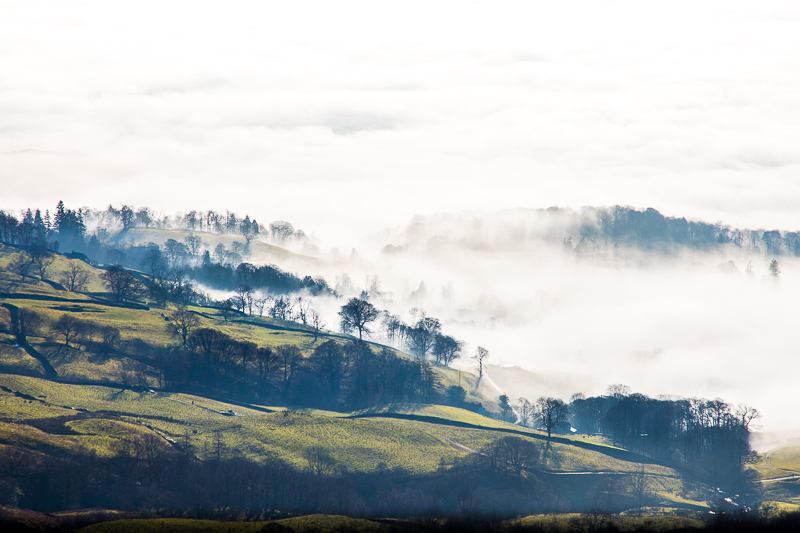
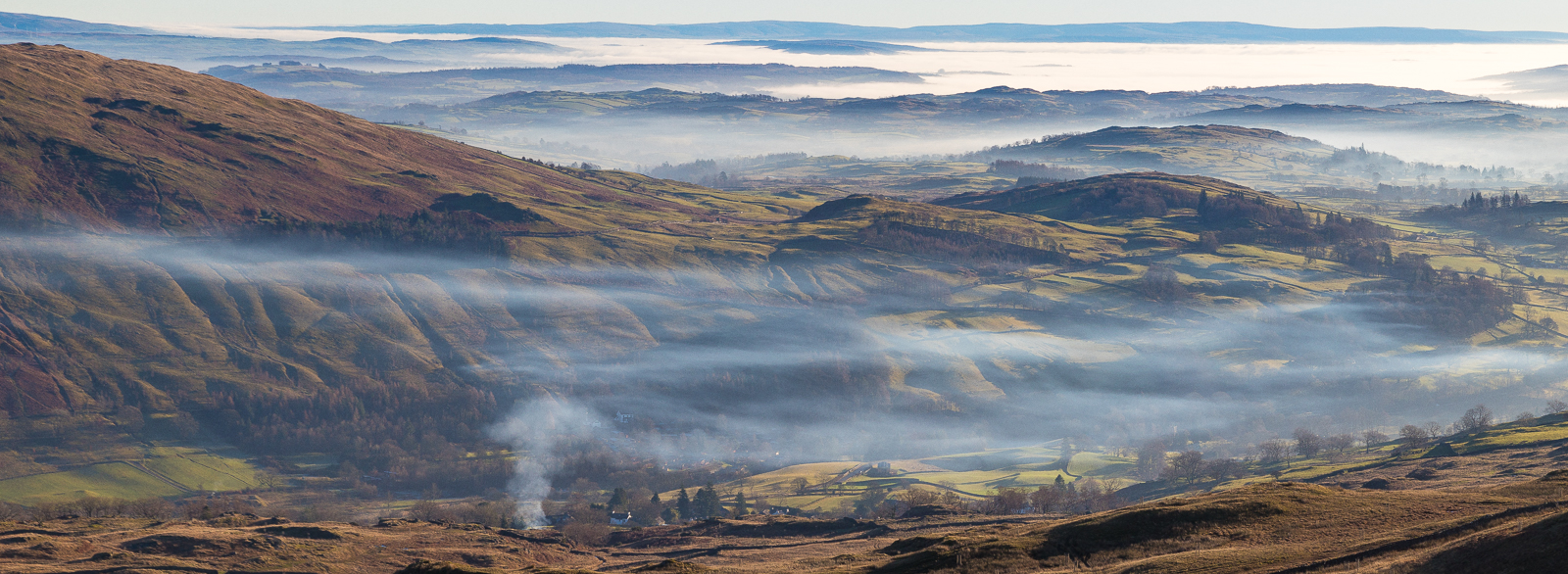
| 12.38 Trees rising up through the mist on the road south.. |
 |
||
|---|---|---|
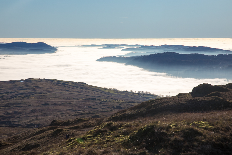
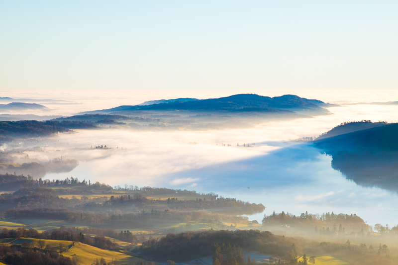
| 12.38 Thick fog covering Windermere.. |
 |
||
|---|---|---|
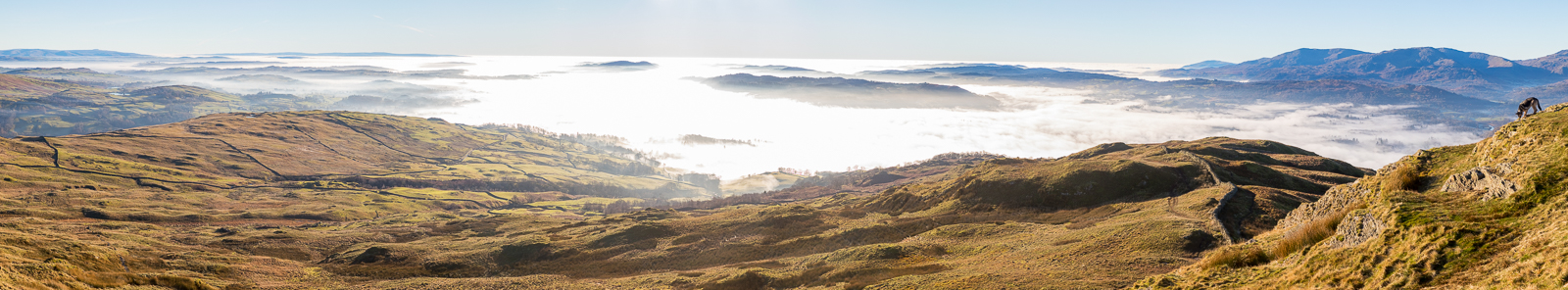
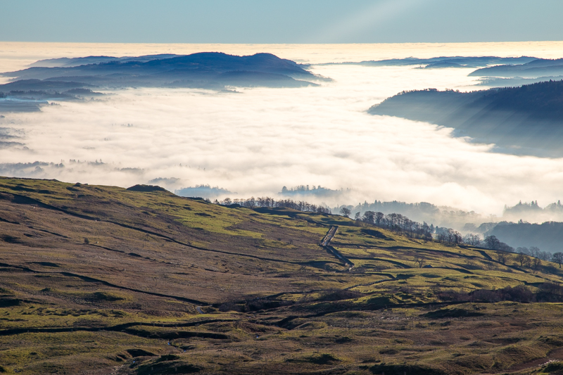
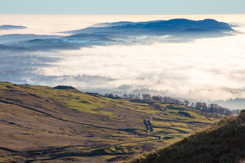
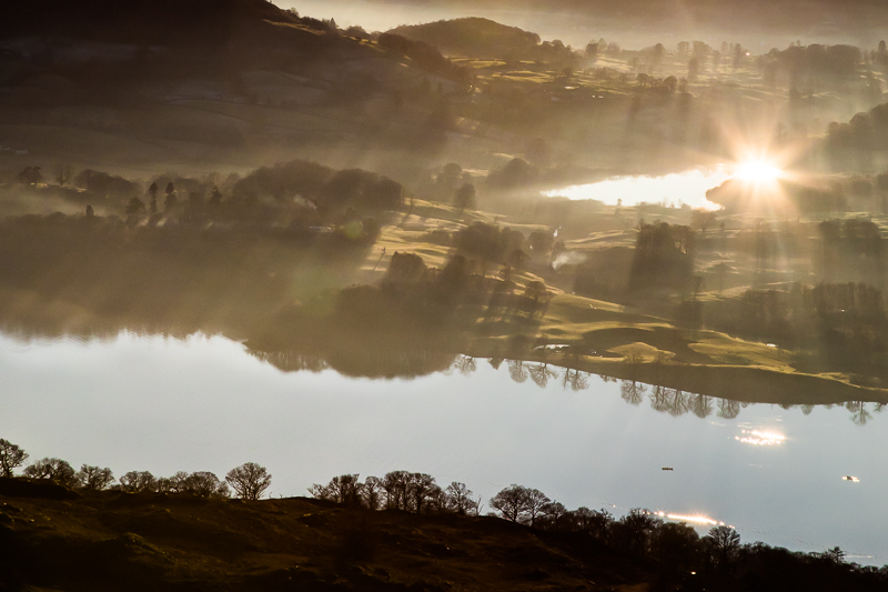
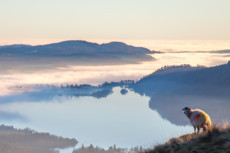
| 12.39 Panorama 619 Dazzling light reflecting off the fog over Windermere. It was fairly busy on the Wansfell Pike. A group of about a dozen just below me had one person in a Santa outfit and a USB speaker blasting out Christmas music. |
 |
||
|---|---|---|
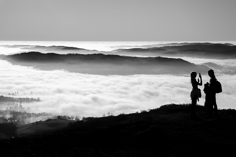
| 12.43 The summit was quite busy giving me the chance to include some people in with the landscapes. |
 |
||
|---|---|---|
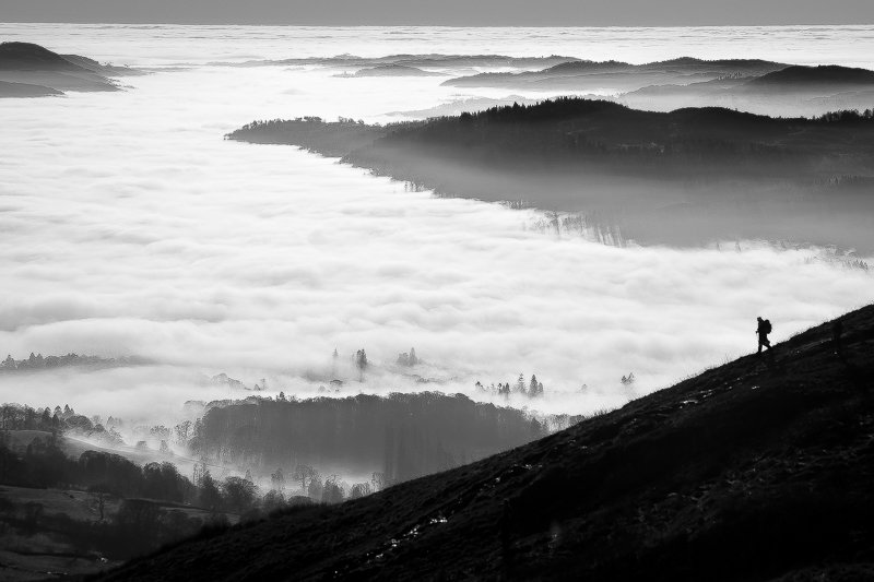
| 12.47 Walker descending from Wansfell Pike in front of a foggy Windermere. |
 |
||
|---|---|---|
| 12.49 Starting the journey across to Baystones, looking back at Wansfell Pike. |
 |
||
|---|---|---|
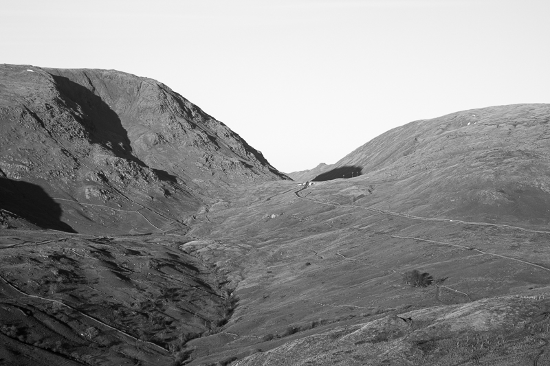
| 12.57 Looking across to Kirkstone Pass with Gavel Fell on the side of St.Sunday Crag visible through the gap between Red Screes and Caudale Moor. |
 |
||
|---|---|---|
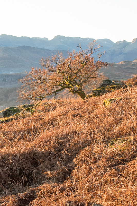
| 12.58 Looking back towards Crinkle Crags.. |
 |
||
|---|---|---|
| 13.20 Sour Howes on the far side of the valley. |
 |
||
|---|---|---|
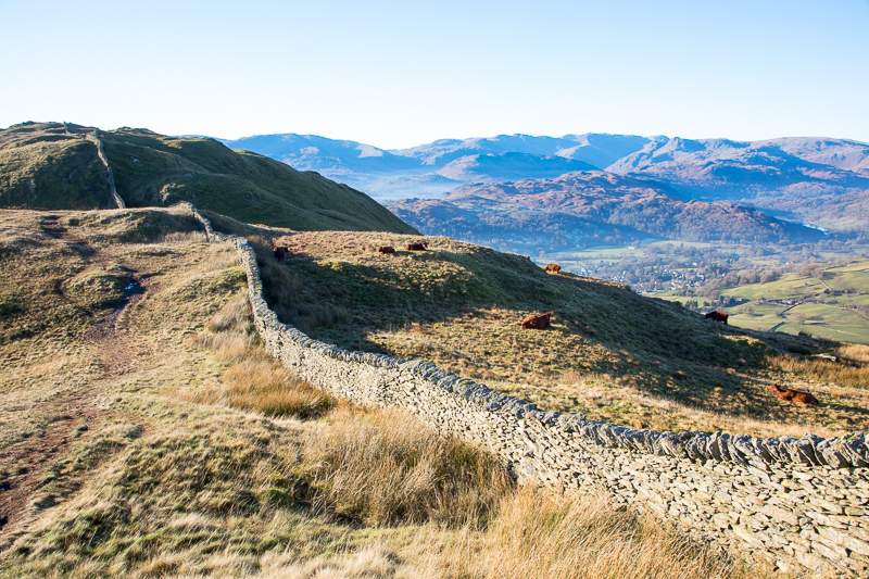
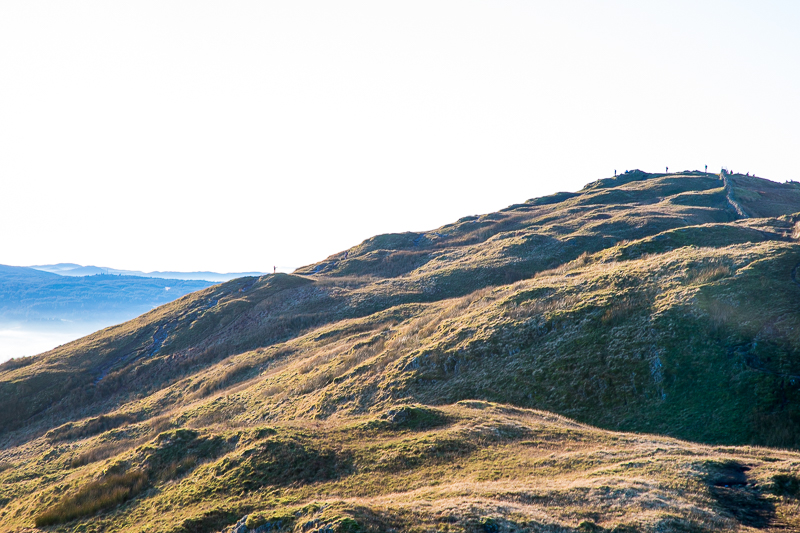
| 13.25 Panorama 620 Baystones, Wansfell (Wainwright #152 159810ft) looking north. The crossing from the pike was less smooth than I had been expecting and it took me 40 minutes to get across. |
 |
||
|---|---|---|
| 13.27 Panorama 621 Baystones, Wansfell looking south. This gives a good idea of the uneven terrain looking back to Wansfell Pike. |
 |
|---|
 |
||
|---|---|---|
| 13.28 Starting back along the ridge. |
 |
||
|---|---|---|
13.28 |
 |
||
|---|---|---|
| 13.48 About half way back along the ridge. |
 |
||
|---|---|---|
13.57 |
 |
||
|---|---|---|
14.01 Windermere, the biggest lake in England, is under there somewhere. |
 |
||
|---|---|---|
14.07 Wansfell Pike |
 |
||
|---|---|---|
14.09 |
 |
||
|---|---|---|
14.11 Hundreds Road leads to Troutbeck |
 |
||
|---|---|---|
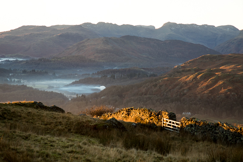
14.20 Looking back at Kirkstone Pass and Angletarn Pikes is visible this time. |
 |
||
|---|---|---|
| 14.25 Panorama 622 Back to Wansfell Pike again and the fog has begun to clear over the northern end of Windermere. My way home is over the bumps in the centre of the picture and then down through Skelghyll Wood. |
 |
||
|---|---|---|
14.45 |
 |
||
|---|---|---|
14.49 At times it was difficult to tell what was water with reflection of cloud in the sky and what was fog on the water. |
 |
||
|---|---|---|
14.52 The setting sun reflected in Blelham Tarn beyond the northern end of Windermere. |
 |
||
|---|---|---|
| 14.54 Panorama 623 Ambleside in the evening light. Areas that have not seen the sun all day have stayed looking frosty, for instance the north facing side of Loughrigg Fell. Although I was taking a longer way home I still had plenty of time to get back to Ambleside and then drive to Windermere to pick up Nick. |
 |
||
|---|---|---|
15.07 Company at last. |
 |
||
|---|---|---|
15.12 Langdale Valley |
 |
||
|---|---|---|
15.17 |
 |
||
|---|---|---|
15.23 |
 |
||
|---|---|---|
15.24 |
 |
||
|---|---|---|
15.24 |
 |
||
|---|---|---|
15.27 Lingmoor Fell |
 |
||
|---|---|---|
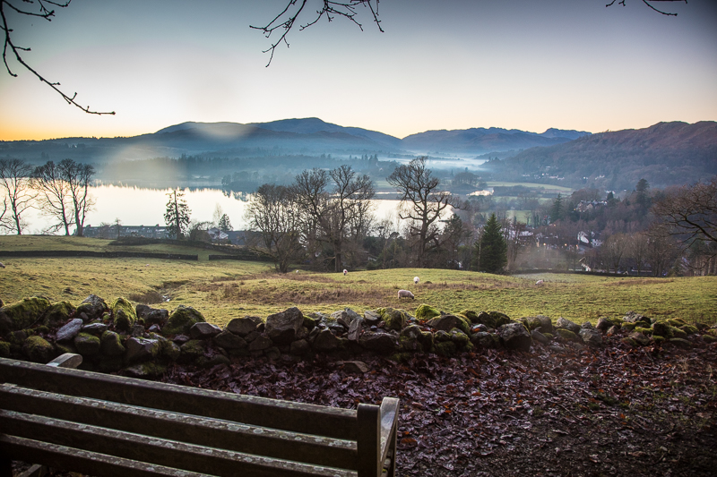
16.00 On the path back on the edge of Ambleside. |
|
|
 |
|---|