|
|
Walk 69 - Great Mell Fell - 2nd March 2022 |
||||
Wainwright's Walking Guide to the Lake District Fells - Book 1 The Eastern Fells |
||||
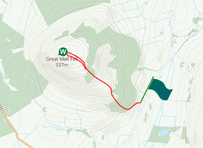
#160 Great Mell Fell 1657 ft |
 |
Distance |
1 mile |
|
Time |
1 hr |
|||
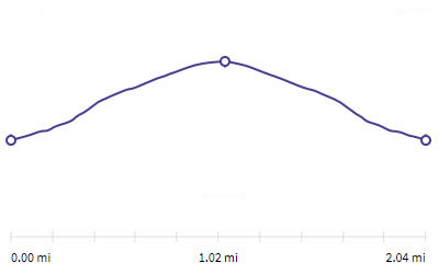
Lowest Point |
849 ft |
|||
Highest Point |
1762 ft |
|||
Total Ascent |
919 ft |
|||
Walk Rating - easy |
||||
 |
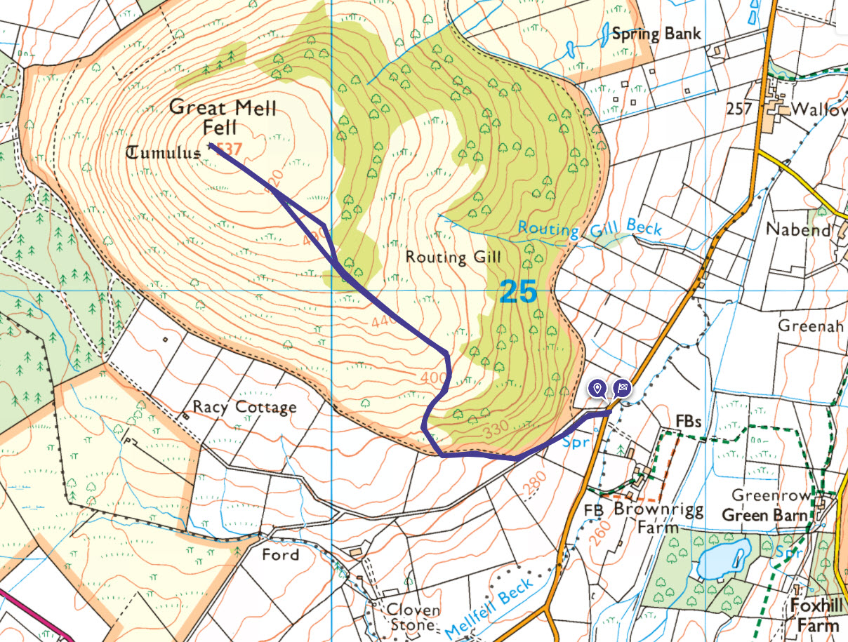
Mini Route Map Go to walk start
|
 |
|---|
 |
||
|---|---|---|
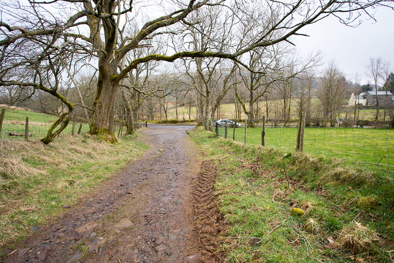
| 11.43 Leaving the roadside parking with Brownrigg Farm on the right. |
 |
||
|---|---|---|
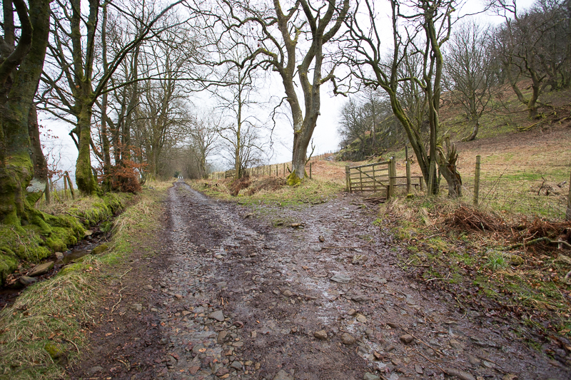
| 11.48 Turn right at this gate and then bear left towards the fence in the distance. |
 |
||
|---|---|---|
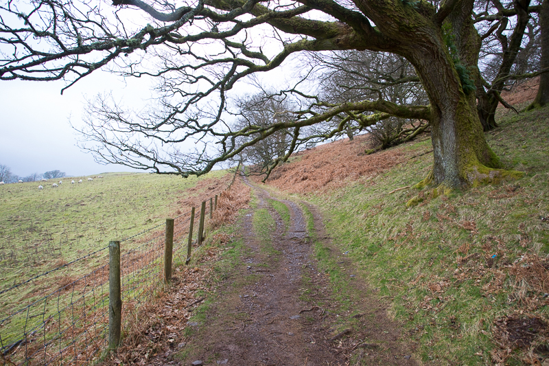
| 11.52 Side path follows the fence for a little way. |
 |
||
|---|---|---|
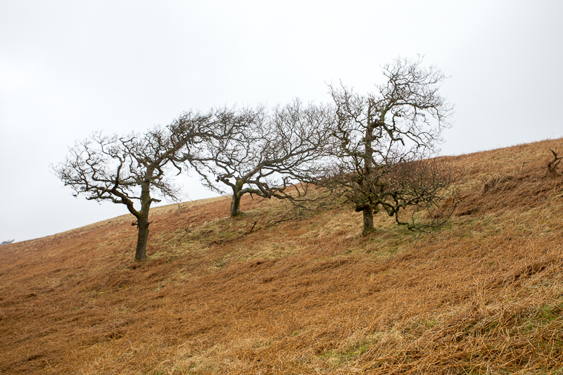
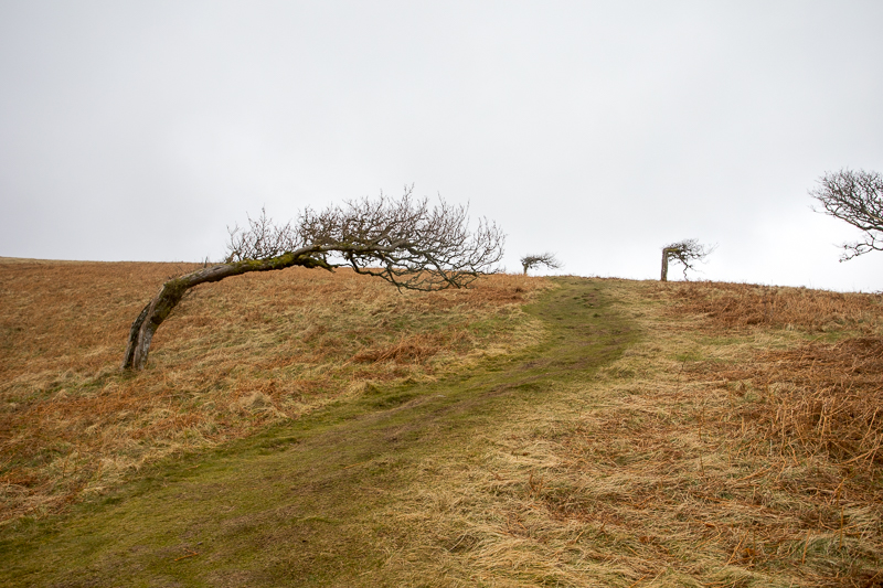
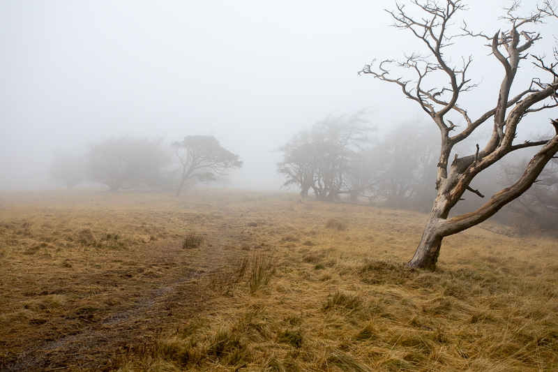
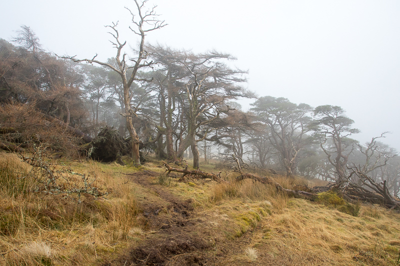
| 12.00 Great Mell Fell is well known for . . . . |
 |
||
|---|---|---|
| 12.01 . . . . . the famous wind blown trees. |
 |
||
|---|---|---|
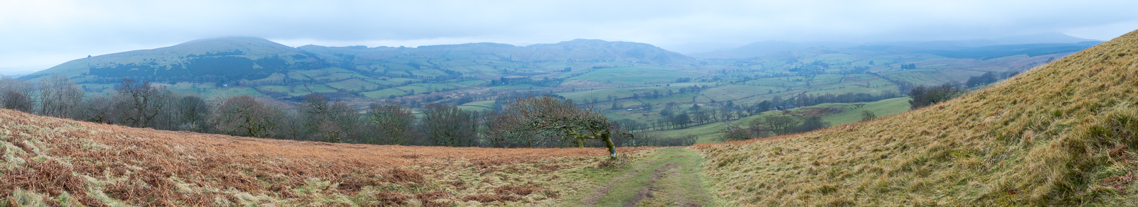
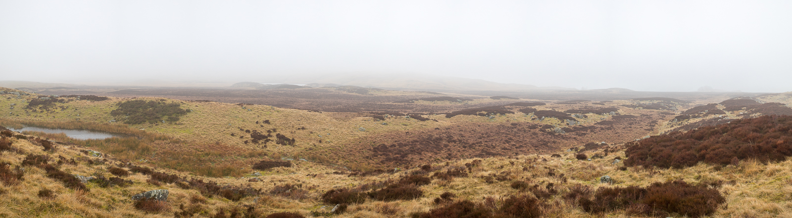
| 12.03 Panorama 647 I thought I should do a panorama at this point because the summit was not looking promising. |
 |
||
|---|---|---|
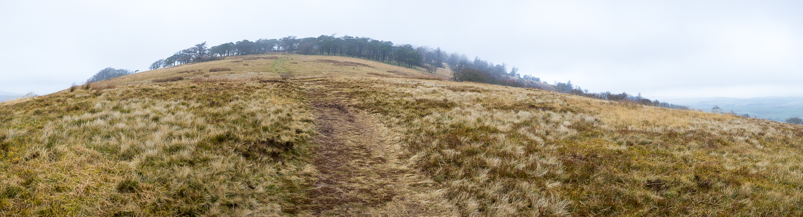
| 12.09 The woods are well below the summit, like a protective belt. |
 |
||
|---|---|---|
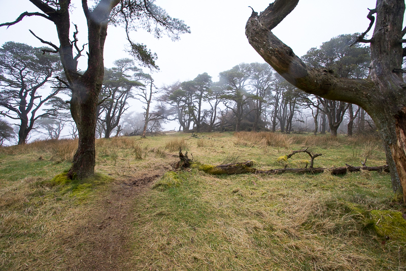
| 12.14 Lots of trees fallen after recent storms. |
 |
||
|---|---|---|
| 12.16 Atmospheric woodland today. |
 |
||
|---|---|---|
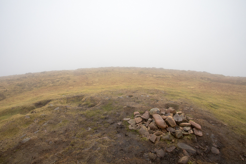
| 12.30 The summit is nothing much to write home about and neither is the view today. |
 |
||
|---|---|---|
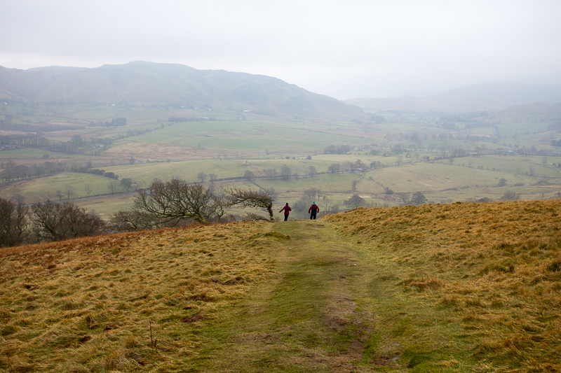
| 12.37 Woods half way down on a slightly different path. |
 |
||
|---|---|---|
| 12.43 Gowbarrow Fell in the background. |
 |
||
|---|---|---|
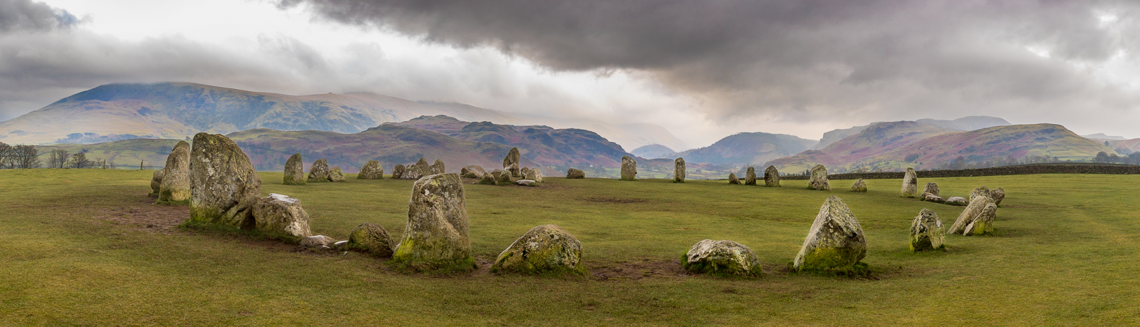
| 15.35 Panorama 648 I drove down to Borrowdale and back then called in at Castlerigg Stone Circle. On an inclement weekday afternoon I had it to myself for a picture. |
 |
||
|---|---|---|
| 14.49 (The following day) The weather was even greyer so I drove down past Great Mell Fell (invisible) to Ullswater (far-side invisible), over Kirkstone Pass (Red Screes invisible) and into Langdale (very little visible). I'd seen a report of a missing dog near Skeggles Water so I drove up the mountain road from Stavely and walked around the fells for three hours or so looking for Mabel, a spaniel. No sign but she was found the following day. Just left of middle in the picture is Skeggles Water but the paths keep quite a distance from the lake. |
|
|
 |
|---|