Walk 71 - Great Crag/Grange Fell - 2nd April 2022 |
||||
Wainwright's Walking Guide to the Lake District Fells - Book 3 The Central Fells |
||||
#162 Great Crag 1444 ft |
 |
Distance |
7.8 miles |
|
Time |
7 hrs |
|||
Lowest Point |
271 ft |
|||
Highest Point |
1564 ft |
|||
Total Ascent |
1490 ft |
|||
Walk Rating - moderate |
||||
 |
Mini Route Map Go to walk start |
 |
|---|
 |
||
|---|---|---|
| 11.17 I started today by crossing the river behind the hotel. |
 |
||
|---|---|---|
| 11.19 Walking along a small path behind the river towards Stonethwaite with views towards Great End. |
 |
||
|---|---|---|
| 11.21 Very peaceful and quiet until I heard a thud and came round a corner to find a man fixing the dry stone wall. |
 |
||
|---|---|---|
| 11.32 Eagle crag coming into view. |
 |
||
|---|---|---|
| 11.44 Eagle Crag |
 |
||
|---|---|---|
| 11.48 Looking back at Stonethwaite |
 |
||
|---|---|---|
| 11.52 Starting the walk up through the woods. |
 |
||
|---|---|---|
| 12.07 The path soon got quite steep. |
 |
||
|---|---|---|
| 12.30 Looking across at Bessyboot |
 |
||
|---|---|---|
| 12.31 Honister between Grey Knotts and Fleetwith Pike. |
 |
||
|---|---|---|
| 12.34 Panorama 669 As the trees ended the route began to level out. |
 |
||
|---|---|---|
| 12.36 Eagle Crag and Sergeants Crag with High Raise in the middle. |
 |
||
|---|---|---|
| 12.40 Disused Hut and a view up Langstrath Valley. |
 |
||
|---|---|---|
| 13.00 Approaching Dock Tarn. |
 |
||
|---|---|---|
| 13.02 Dock Tarn |
 |
||
|---|---|---|
| 13.03 Dock Tarn |
 |
||
|---|---|---|
| 13.04 Dock Tarn |
 |
||
|---|---|---|
| 13.09 Dock Tarn |
 |
||
|---|---|---|
| 13.34 Panorama 670 After a few incorrect guesses I got to the summit of Great Crag, Wainwright #162 1444ft. Looking east. |
 |
||
|---|---|---|
| 13.35 Panorama 671 Looking west from Great Crag summit. |
 |
||
|---|---|---|
| 13.42 Panorama 672 I also walked over to the nearby northern summit - looking east. |
 |
||
|---|---|---|
| 13.44 Panorama 673 Looking west into Borrowdale. |
 |
||
|---|---|---|
| 13.46 Great Crag summit |
 |
||
|---|---|---|
| 14.30 I decided to walk down to Watendlath to try the cafe. A mistake as it only takes cash and I didn't have any. |
 |
||
|---|---|---|
| 14.44 Watendlath Tarn |
 |
||
|---|---|---|
| 15.00 Panorama 674 View south from above Watendlath |
 |
||
|---|---|---|
| 15.47 Derwent Water from Ether Knott. |
 |
||
|---|---|---|
| 15.49 Panorama 675 Ether Knott summit is the highest point on Grange Fell but not the official Wainwright. It looked very steep from a distance but was quite easy to climb once I'd got over the fence to the south of it. |
 |
||
|---|---|---|
| 15.49 Looking across to King's How from Ether Knott. |
 |
||
|---|---|---|
| 15.49 Great End behind Brund Fell |
 |
||
|---|---|---|
| 15.50 Watendlath from Ether Knott. |
 |
||
|---|---|---|
| 15.50 Pike O'Stickle from Ether Knott. |
 |
||
|---|---|---|
| 15.50 Coldale Fells from Ether Knott. |
 |
||
|---|---|---|
| 15.57 Great Gable, Green Gable and Base Brown. |
 |
||
|---|---|---|
| 16.03 Grisedale Pike, Causey Pike and Cat Bells from near the base of Ether Knott. |
 |
||
|---|---|---|
| 16.06 Looking back at Ether Knott. |
 |
||
|---|---|---|
| 16.40 Panorama 676 Brund Fell summit, the Wainwright summit of Grange Fell. Wainwright #163 1345ft. |
 |
||
|---|---|---|
| 17.10 Looking up The Combe towards Combe Head and Glaramara |
 |
||
|---|---|---|
| 17.11 Pike O'Stickle in the distance. |
 |
||
|---|---|---|
| 17.15 Scafell Pike still holding a little cloud. |
 |
||
|---|---|---|
| 17.19 Rosthwaite |
 |
||
|---|---|---|
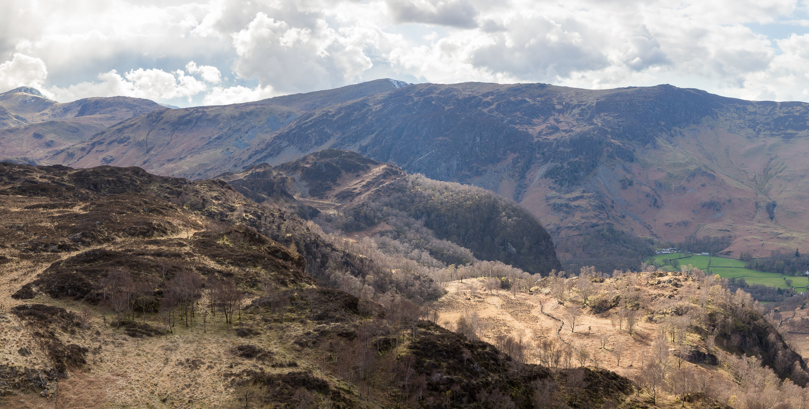
| 17.22 Panorama 677 Kings How summit. |
 |
||
|---|---|---|
| 17.22 Derwent Water from King's How. |
 |
||
|---|---|---|
| 17.23 Looking down Borrowdale with Great End and Scafell Pike in the background |
 |
||
|---|---|---|
| 17.23 Stonethwaite and Pike O'Stickle. |
 |
||
|---|---|---|
| 17.24 Looking down on Castle Crag. |
 |
||
|---|---|---|
| 17.41 Descending back down into Borrowdale. |
 |
|---|