|
|
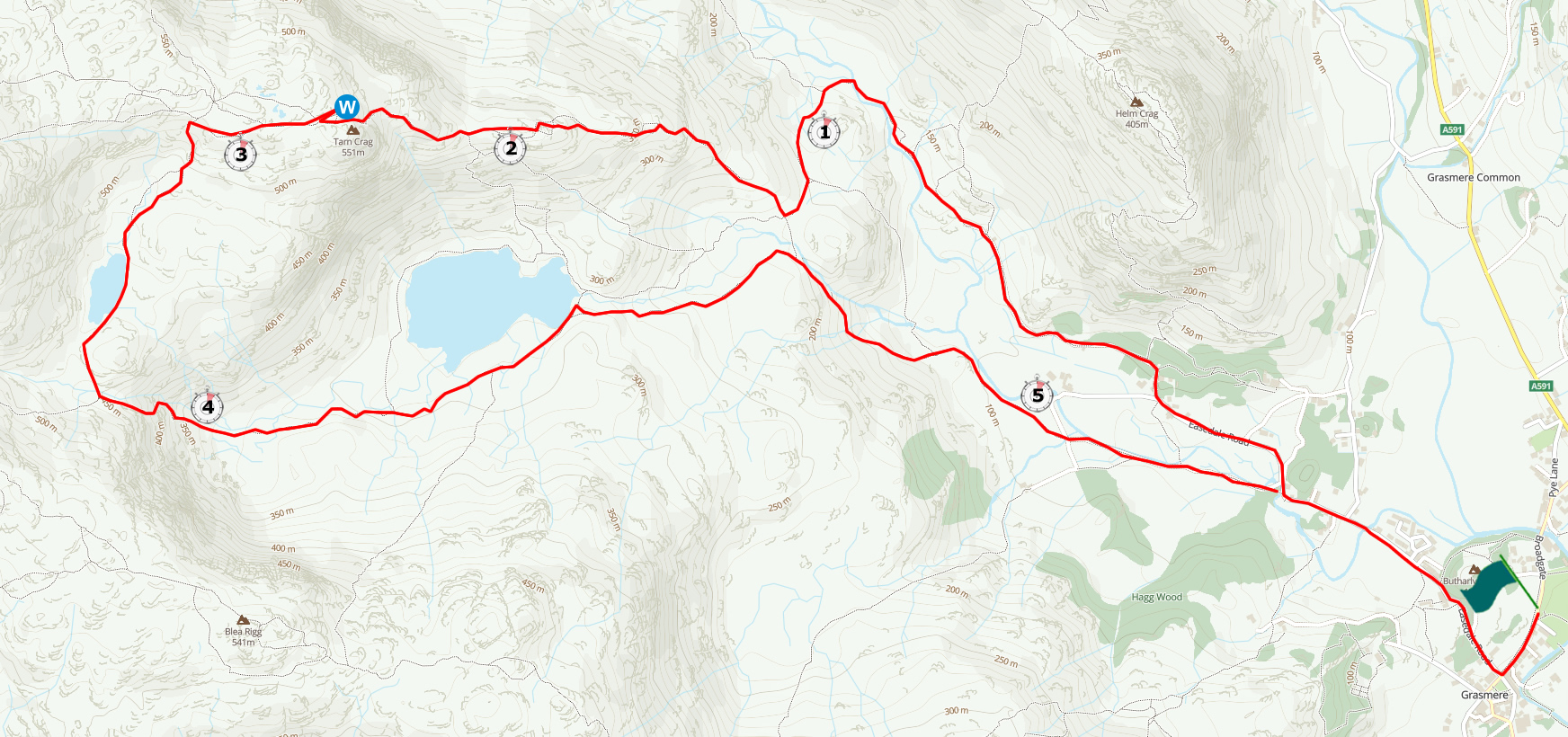
Walk 79 - Tarn Crag - 8th April 2023 |
||||
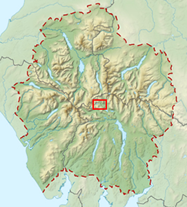
Wainwright's Walking Guide to the Lake District Fells - Book 3 The Central Fells |
||||
#185 Tarn Crag (Easedale) 1804 ft |
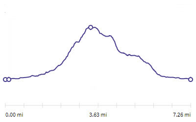 |
Distance |
7.3 miles |
|
Time |
5.5 hrs |
|||
Lowest Point |
227 ft |
|||
Highest Point |
1804 ft |
|||
Total Ascent |
1740 ft |
|||
Walk Rating - moderate |
||||
 |
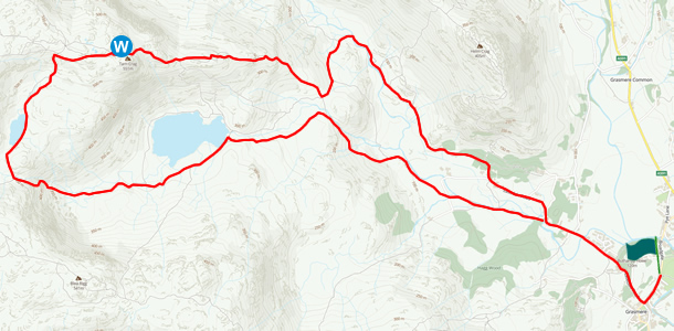
Mini Route Map Go to walk start
|
 |
|---|
 |
||
|---|---|---|
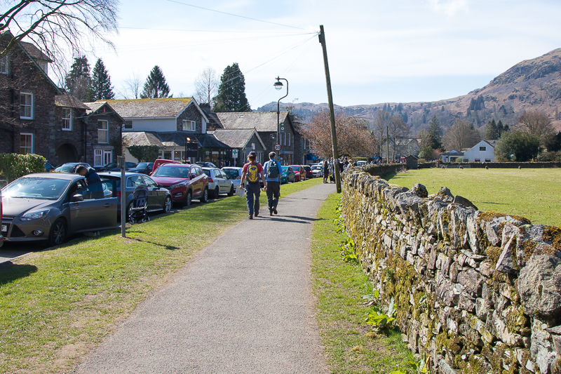
| 12.03 After a lengthy wait for a parking space in a very busy Grasmere, we are finally out of the car and walking. |
 |
||
|---|---|---|
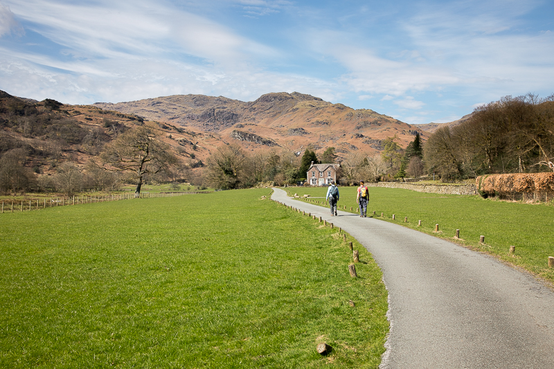
| 12.17 Along the road to Easedale and we suddenly lose the crowds and get a view of our target. |
 |
||
|---|---|---|
| 12.19 Crossing Easedale valley floor. |
 |
||
|---|---|---|
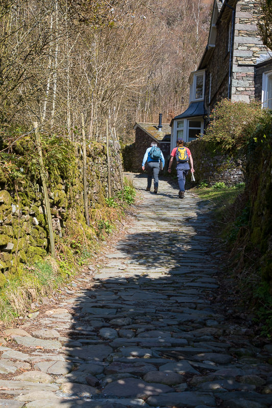
| 12.24 The path turns up a small lane close to Lancrigg. |
 |
||
|---|---|---|
| 12.30 On the north side of the valley walking towards Far Easedale. |
 |
||
|---|---|---|
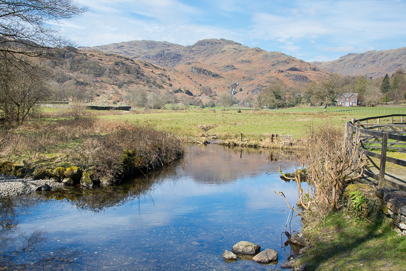
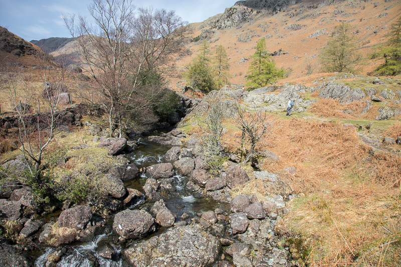
| 12.48 Easedale Beck |
 |
||
|---|---|---|
| 12.51 Crossing the beck near Stythwaite Steps. |
 |
||
|---|---|---|
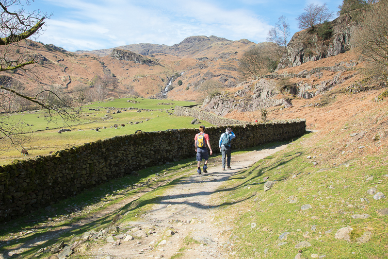
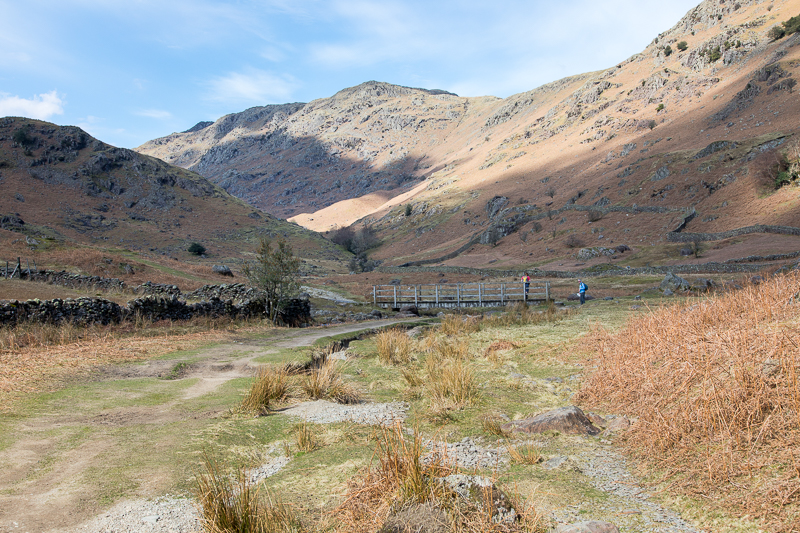
| 13.26 After the bridge the ground rises as we begin the walk along the east ridge. |
 |
||
|---|---|---|
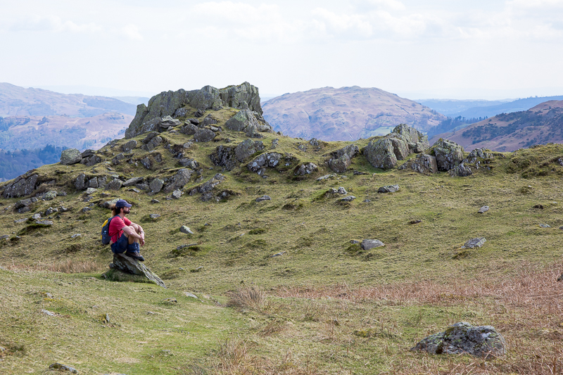
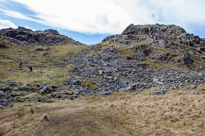
| 13.34 Rock Tor |
 |
||
|---|---|---|
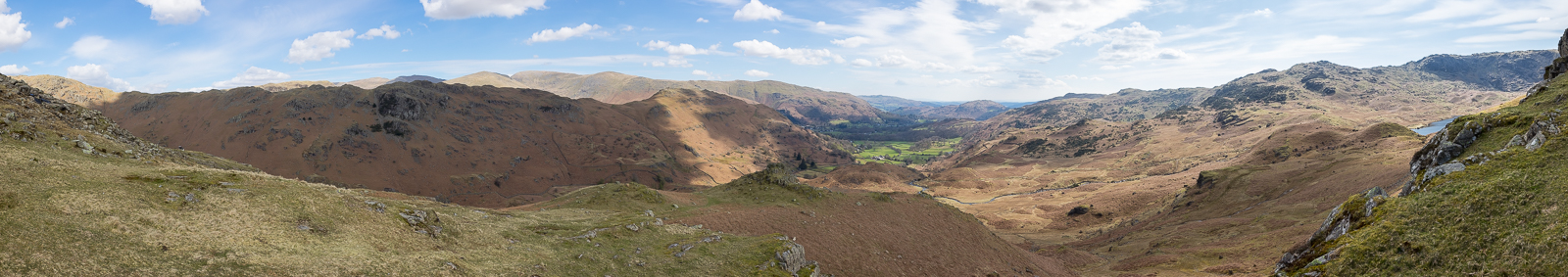
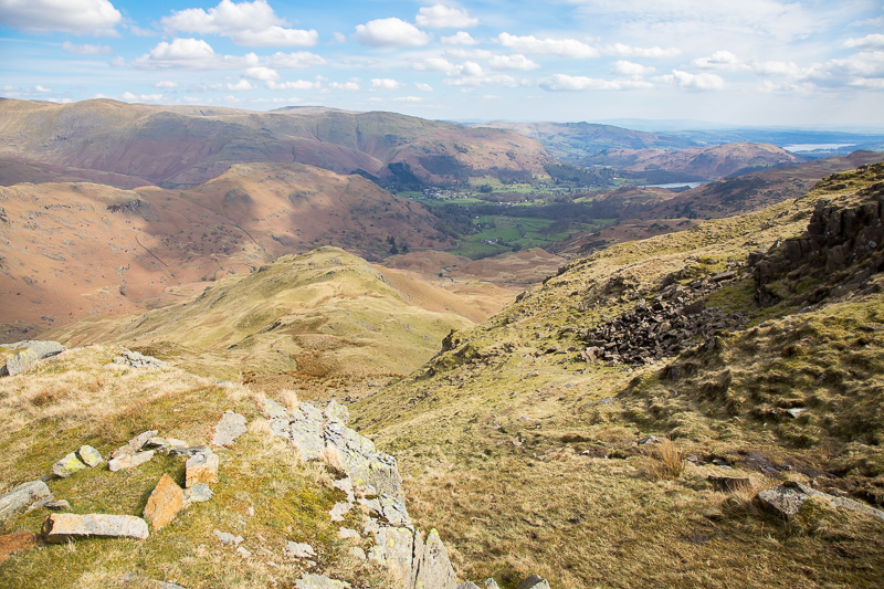
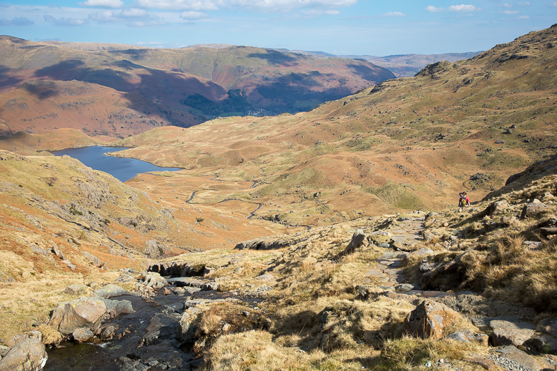
| 13.40 Panorama 796 Looking over Easedale from near Greathead Crag |
 |
||
|---|---|---|
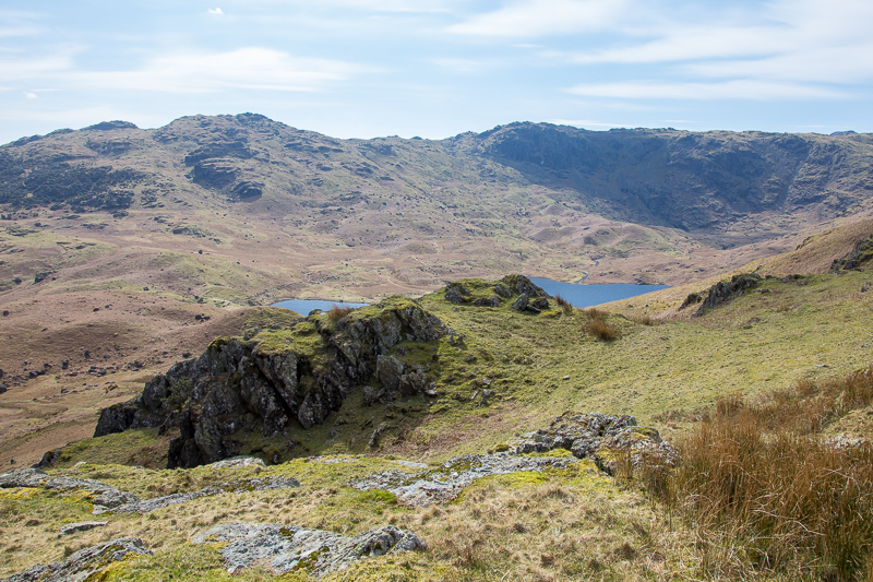
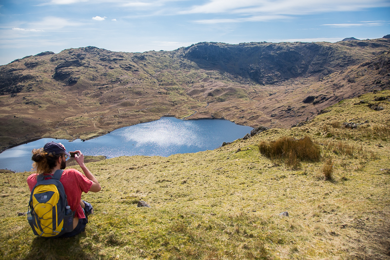
| 13.43 Easedale Tarn and Blea Rigg |
 |
||
|---|---|---|
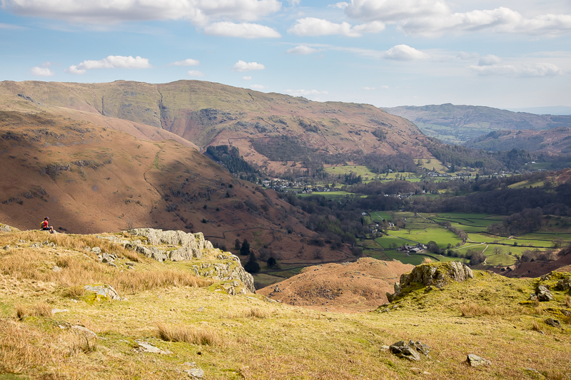
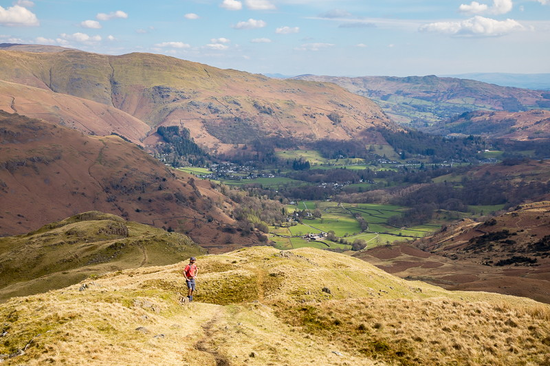
| 13.47 Looking over to Grasmere (village) and Nab Scar at the bottom of the Fairfield Horseshoe. |
 |
||
|---|---|---|
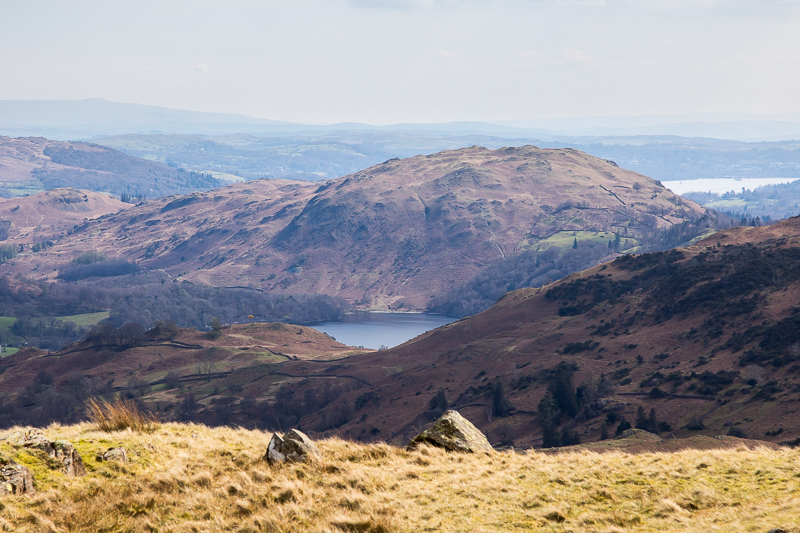
| 13.55 Loughrigg, a bit of Grasmere and a bit of Windermere. |
 |
||
|---|---|---|
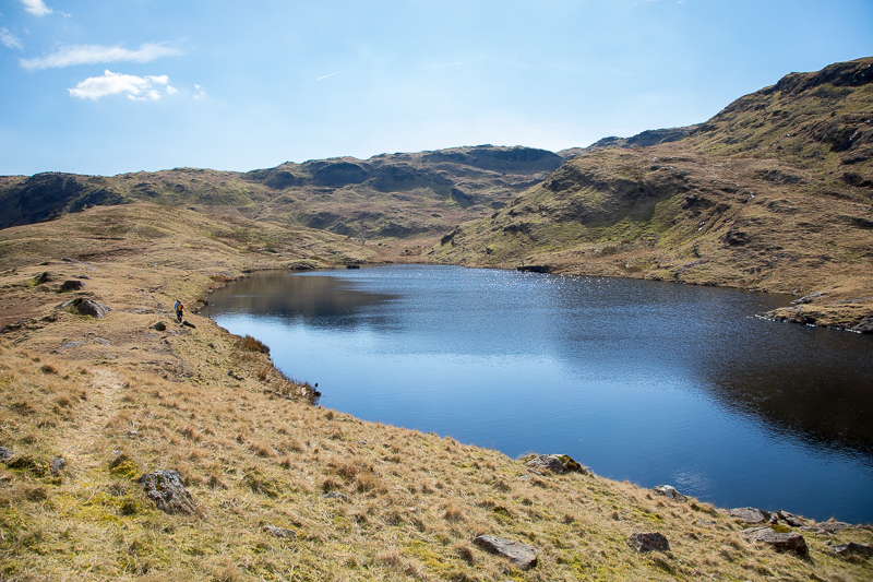
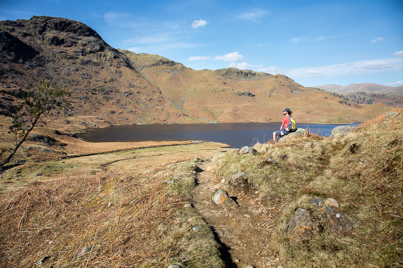
| 13.57 Easedale Tarn. |
 |
||
|---|---|---|
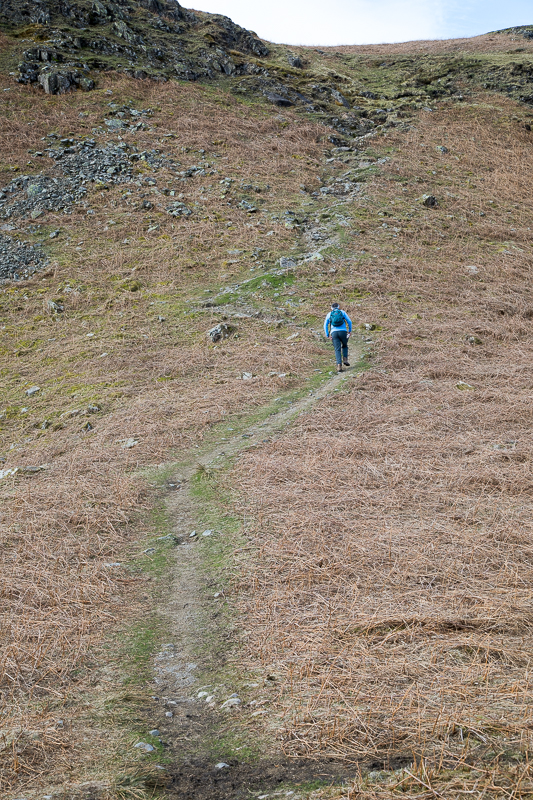
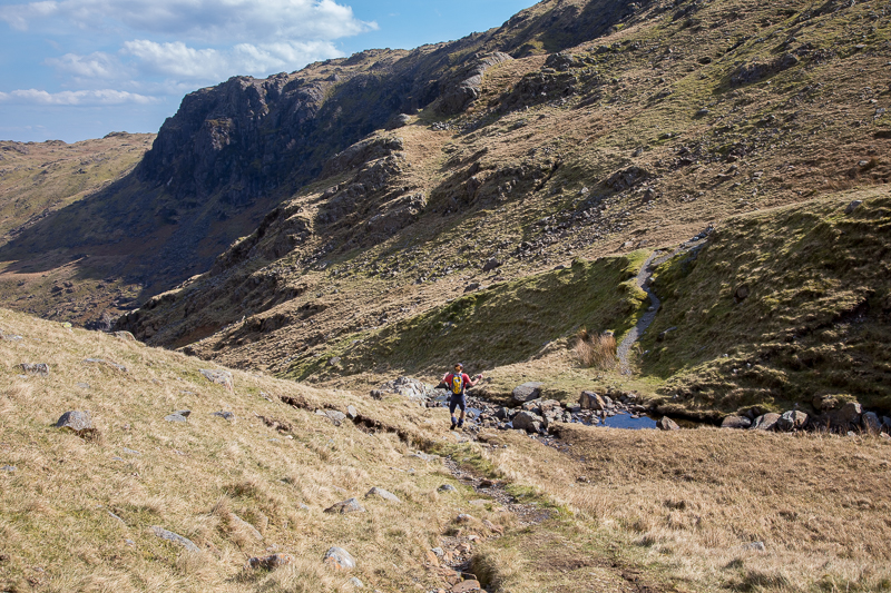
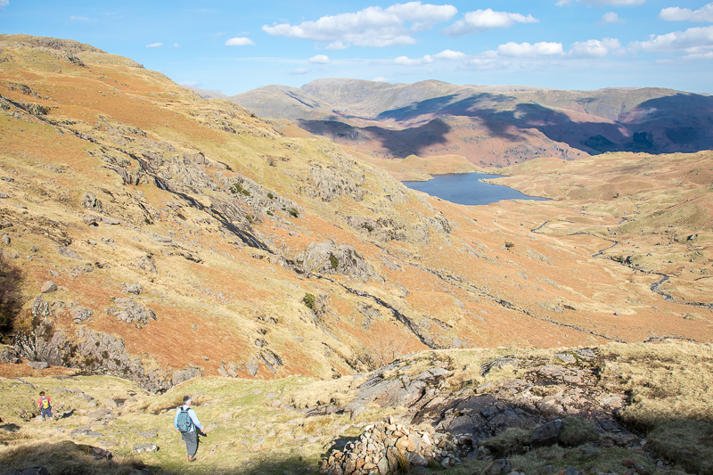
| 14.02 Approaching a steeper bit on the east ridge. |
 |
||
|---|---|---|
| 14.14 Wansfell in the distance. |
 |
||
|---|---|---|
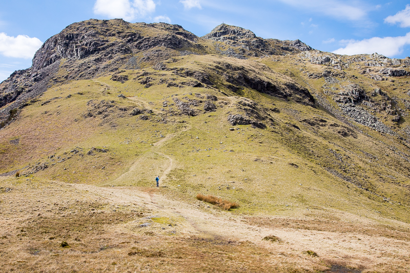
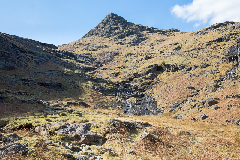
| 14.18 The last rise on the ridge with the summit on the right. |
 |
||
|---|---|---|
| 14.23 The view from the flat area just below the summit. |
 |
||
|---|---|---|
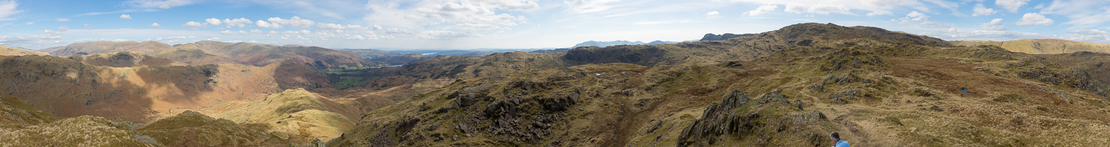
| 14.36 Panorama 797 Tarn Crag summit (Wainwright #185 1804 ft) |

|
||
|---|---|---|
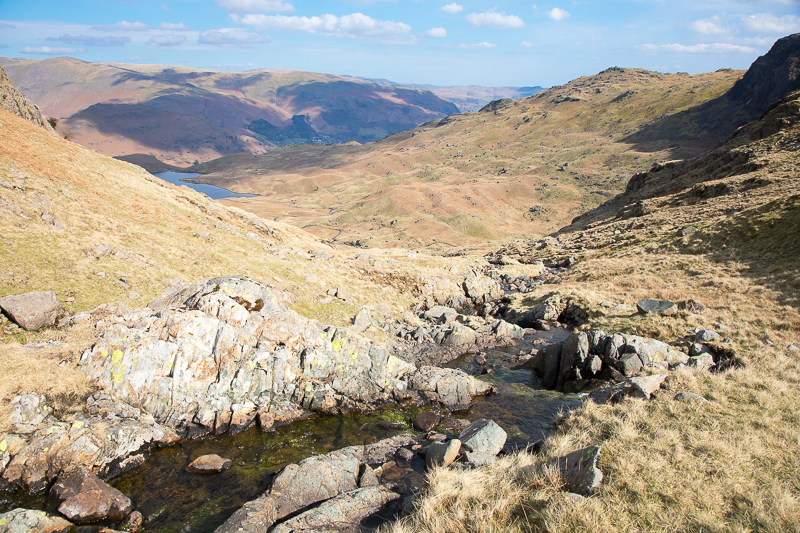
| 15.04 Panorama 798 Another view taken a hundred yds away from the summit. Codale Tarn can now be seen. |
 |
||
|---|---|---|
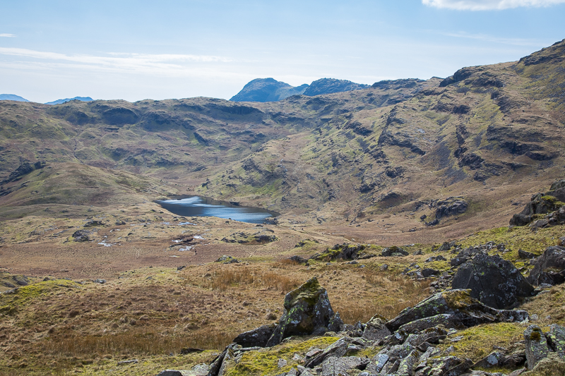
| 15.07 Codale Tarn with the Langdale Pikes over the ridge. |
 |
||
|---|---|---|
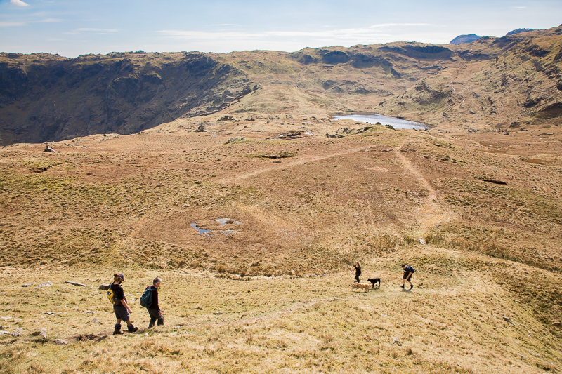
| 15.12 Dropping down to Codale Tarn. The two dogs had been in for a paddle. |
 |
||
|---|---|---|
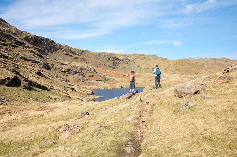
| 15.22 Codale Tarn. |
 |
||
|---|---|---|
| 15.29 Looking back over the tarn. |
 |
||
|---|---|---|
| 15.32 The path meets the path coming down from the direction of Sergeant Man. |
 |
||
|---|---|---|
| 15.33 The path follows down the side of the gill. The lower part of this gill, below the tarn, is called Sourmilk Gill but I'm not sure if this upper part has the name. |
 |
||
|---|---|---|
| 15.38 Approaching Easedale Tarn. |
 |
||
|---|---|---|
15.44 It takes quite a while to cover this part of the route. |
 |
||
|---|---|---|
| 15.59 Looking back at Belles Knott. |
 |
||
|---|---|---|
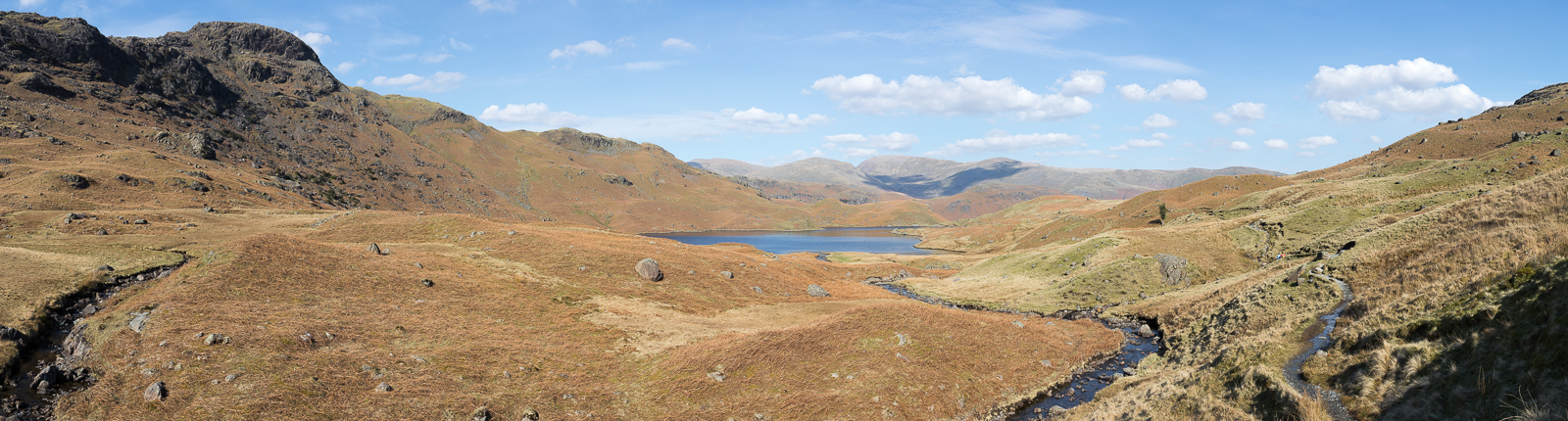
| 16.11 Panorama 799 Finally reaching Easedale Tarn. |
 |
||
|---|---|---|
| 16.15 Easedale Tarn with the East Ridge we had climbed in the background. |
 |
||
|---|---|---|
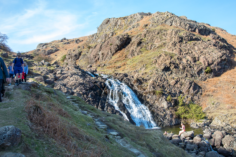
| 16.47 The waterfall and pool had attracted a couple of swimmers. |
 |
||
|---|---|---|
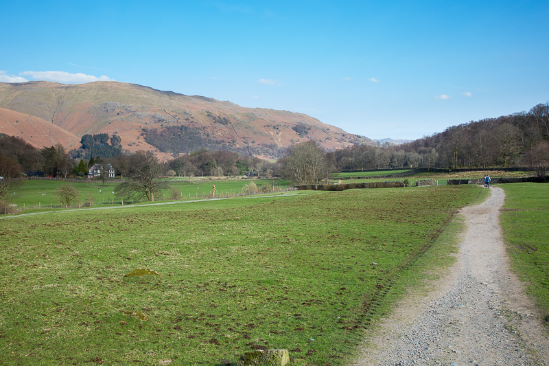
| 17.02 Crossing the valley floor again, on the south side this time. |
 |
||
|---|---|---|
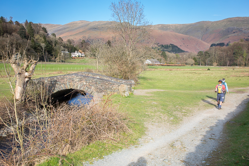
| 17.10 An attractive stone bridge allows access to the farm. Behind the tree on the far side of the valley is Stone Arthur. |
 |
||
|---|---|---|
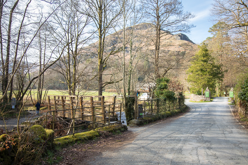
| 17.15 Rejoining the outward route at this small footbridge. It was now a 15 minute walk back to Grasmere down Easedale Rd. |
|
|
 |
|---|