|
|
Walk 80 - Low Fell - 13th May 2023 |
||||
Wainwright's Walking Guide to the Lake District Fells - Book 7 The Western Fells |
||||
#186 Fellbarrow 1365 ft #187 Low Fell 1404 ft |
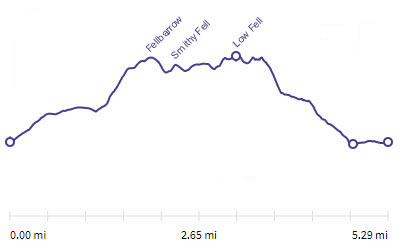 |
Distance |
5.3 miles |
|
Time |
4 hrs |
|||
Lowest Point |
410 ft |
|||
Highest Point |
1404 ft |
|||
Total Ascent |
1462 ft |
|||
Walk Rating - moderate |
||||
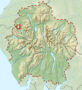 |
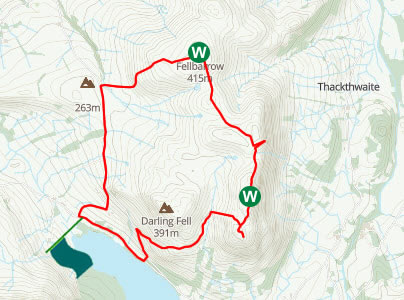
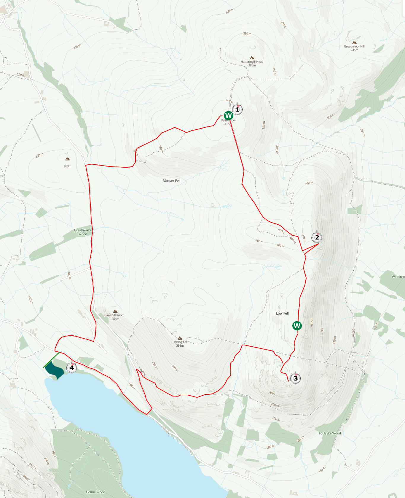
Mini Route Map Go to walk start
|
 |
|---|
 |
||
|---|---|---|
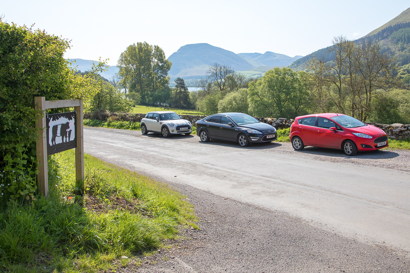
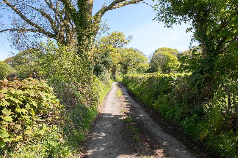
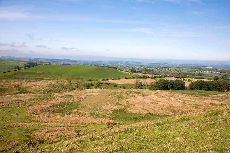
| 10.40 Leaving the car at Water End. |
 |
||
|---|---|---|
| 10.41 Walking up the lane towards Mosser Road. |
 |
||
|---|---|---|
| 10.51 Passing through Askhill Farm. |
 |
||
|---|---|---|
| 10.54 The path joins Mosser road coming up from the right (left in the picture). |
 |
||
|---|---|---|
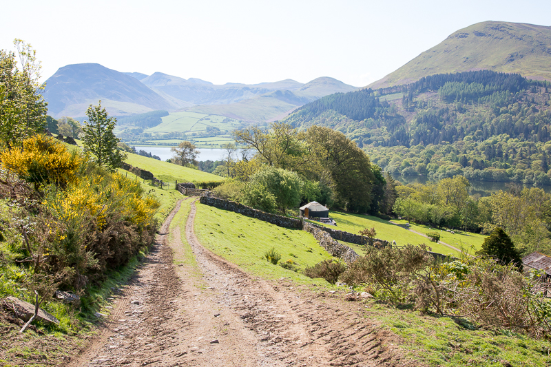
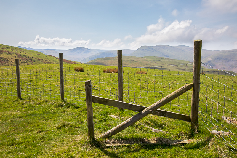
| 11.10 After several false exits the route turns off the Mosser Road towards Fellbarrow. |
 |
||
|---|---|---|
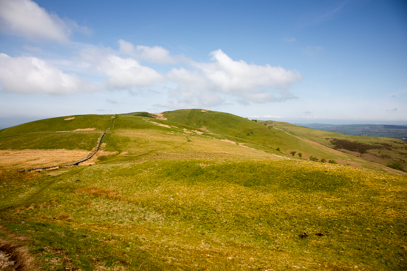
| 11.19 Half way up Fellbarrow. |

|
||
|---|---|---|
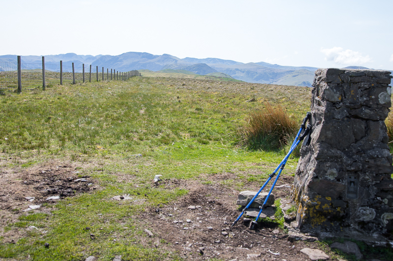
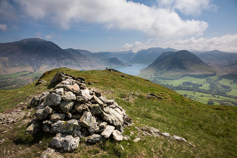
| 11.43 Panorama 800 Fellbarrow summit. (Wainwright #186 1365 ft) |
 |
||
|---|---|---|
| 11.44 Fellbarrow summit looking south. |
 |
||
|---|---|---|
| 11.50 Dropping off Fellbarrow |
 |
||
|---|---|---|
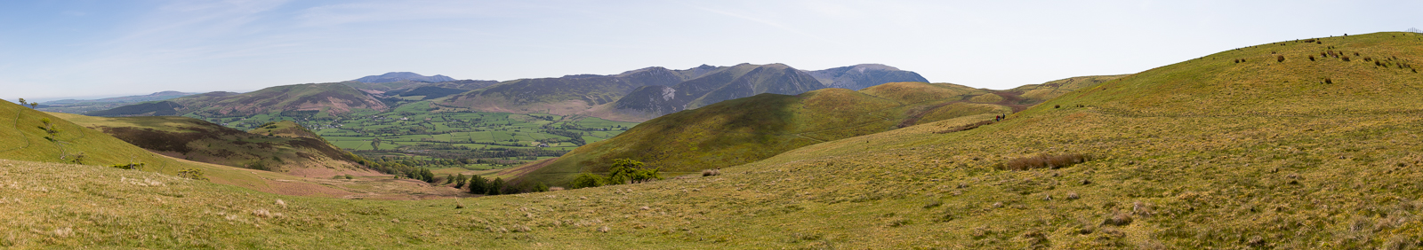
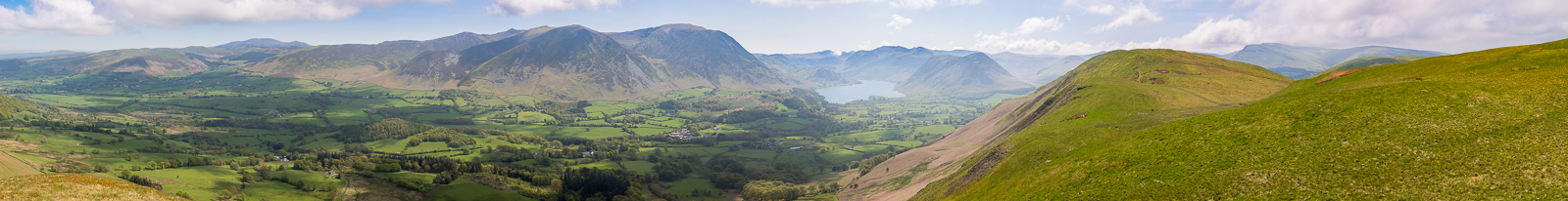
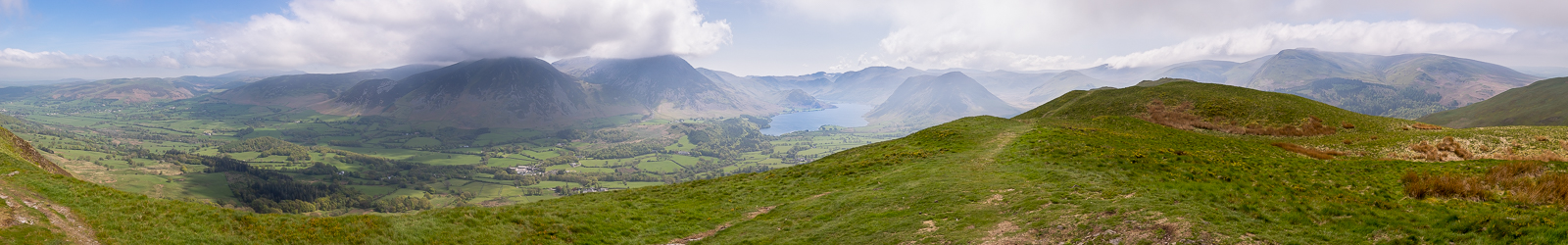
| 12.00 Panorama 801 Looking over Lorton Vale towards Skiddaw. |
 |
||
|---|---|---|
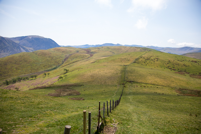
| 12.05 Crossing over Smithy Fell. |
 |
||
|---|---|---|
| 12.18 Looking back at Smithy Fell and Fellbarrow from the side of Sourfoot Fell.. |
|
||
|---|---|---|
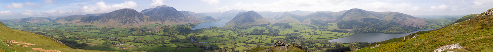
| 12.36 Panorama 802 Looking over Lorton Vale from Watching Crag. |
 |
||
|---|---|---|
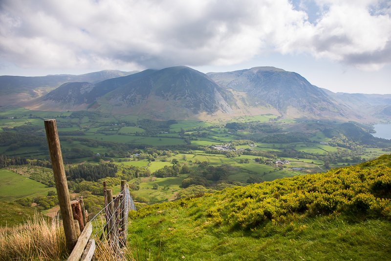
| 12.44 Cloud just beginning to touch Whiteside. |
|
||
|---|---|---|
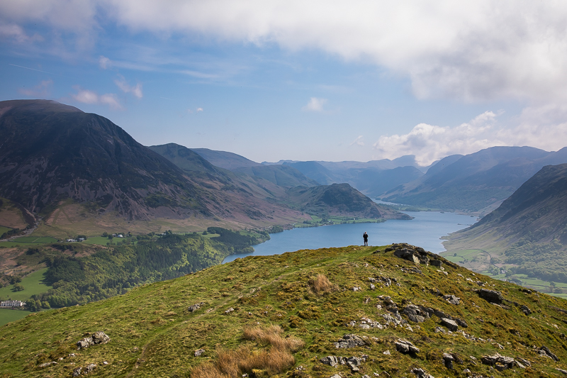
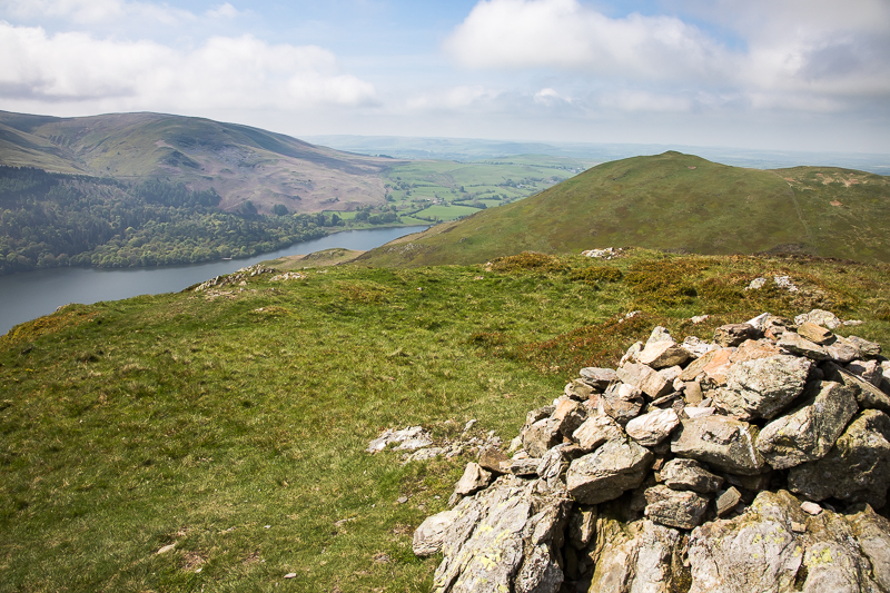
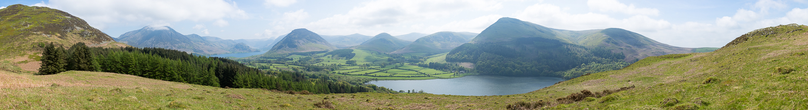
| 12.51 Panorama 803 Low Fell summit (Wainwright #187 1404 ft) |
 |
||
|---|---|---|
| 13.04 A perfect spot for lunch. Wish I'd brought some. |
|
||
|---|---|---|
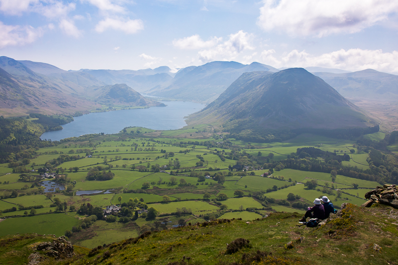
| 13.46 Panorama 804 This viewpoint is a few minutes south of the true summit, so it is closer to Crummock Water and has Loweswater in sight as well. However Whiteside and Grasmoor were in cloud when I arrived so I waited it out for half an hour before it cleared. |
 |
||
|---|---|---|
| 13.49 A fellow walker provides a focal point. |
 |
||
|---|---|---|
| 13.50 Another little summit (not Low Fell's actual summit). |
 |
||
|---|---|---|
| 13.50 Low Fell looking over to Darling Fell. |
 |
||
|---|---|---|
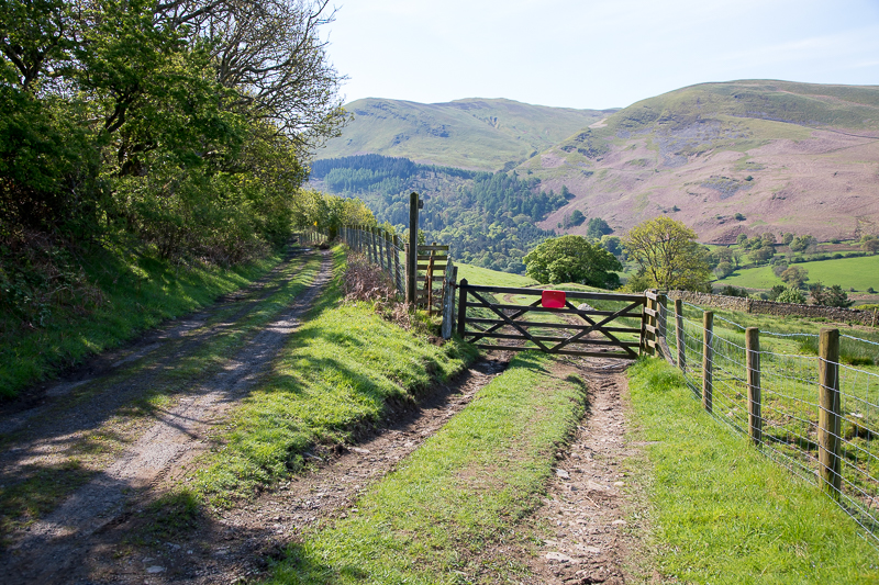
| 13.56 Sheep shelter on the side of Darling Fell and the track I am taking around it. |
 |
||
|---|---|---|
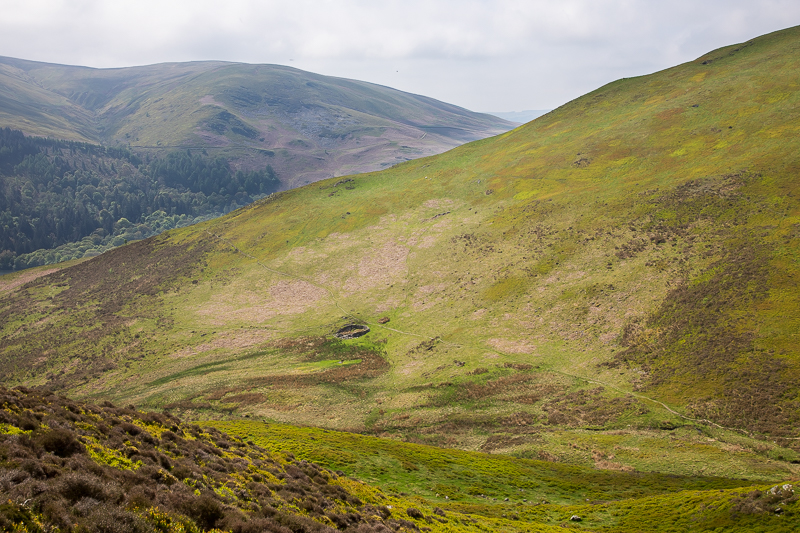
| 14.08 Between Low Fell and Darling Fell |
|
||
|---|---|---|
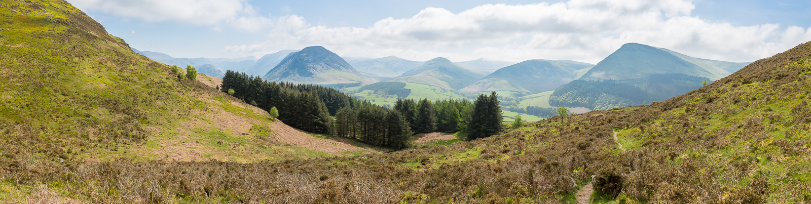
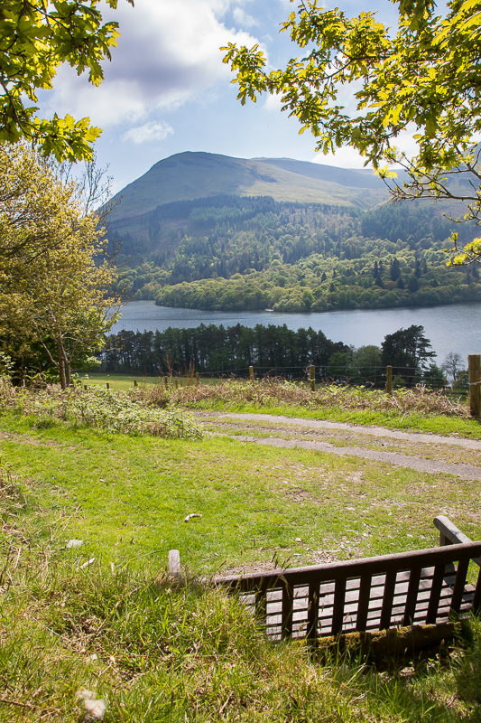
| 14.14 Panorama 805 Descending Low Fell you arrive at a large shelf of land with a view of Loweswater. |
 |
||
|---|---|---|
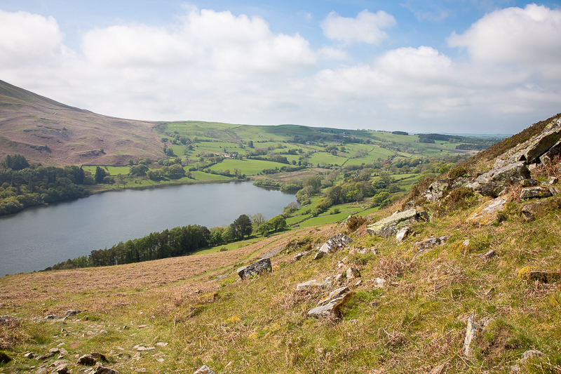
| 14.19 Loweswater as I come around the side of Darling Fell. |
 |
||
|---|---|---|
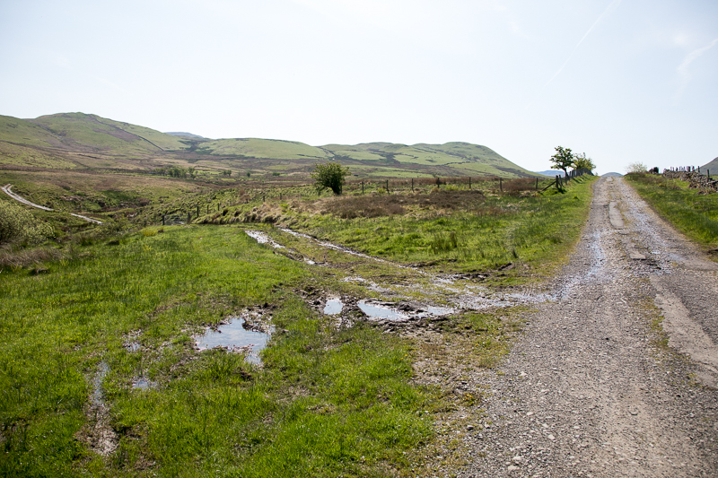
| 14.30 A seat with a view where the path rejoins the Mosser Rd, lower down than where I joined it at 10.54. I turned left here and a few minutes later turned right to drop down through a small wood and rejoin the road back to the car. |
 |
||
|---|---|---|
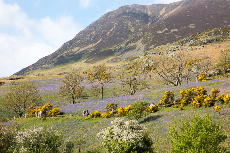
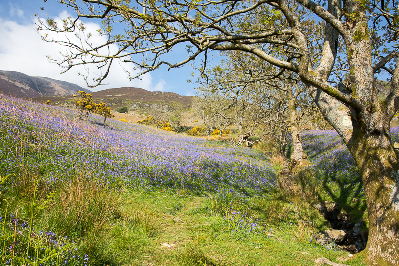
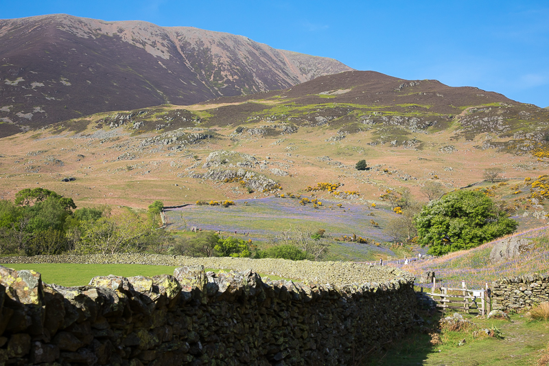
| 16.59 I drove into Buttermere for a visit to Sykes Farm Cafe and then walked along to Rannerdale in the hope of seeing the bluebells in bloom. After a few years trying to get the timing and weather right - success! |
 |
||
|---|---|---|
| 16.59 I had met Diane who was looking for the Bluebells with her dog but didn't know exactly where they were, so I was able to guide her. |
 |
||
|---|---|---|
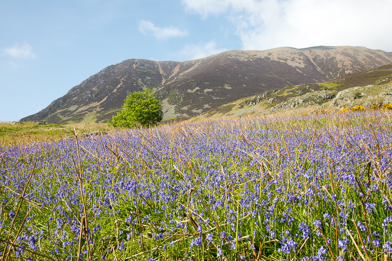
| 17.00 Rannerdale Knots looks remarkable pointy from this angle. |
 |
||
|---|---|---|
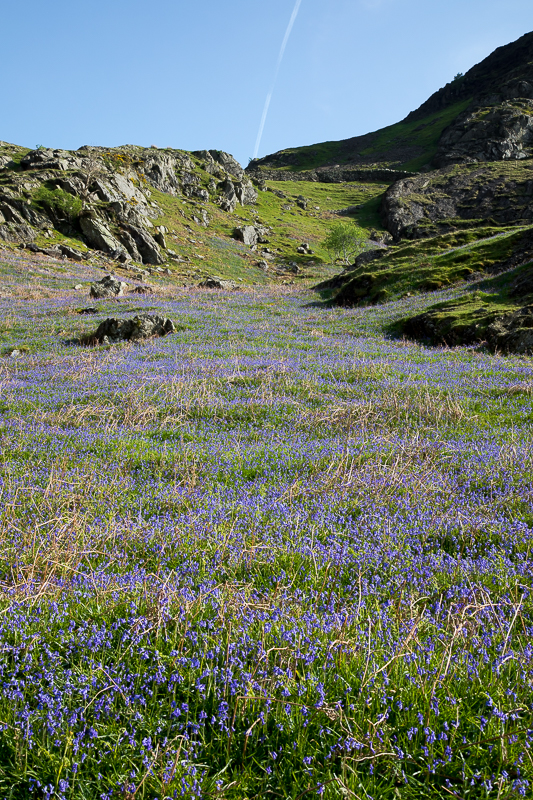
| 17.00 Looking up in the direction of High Rannerdale. |
 |
||
|---|---|---|
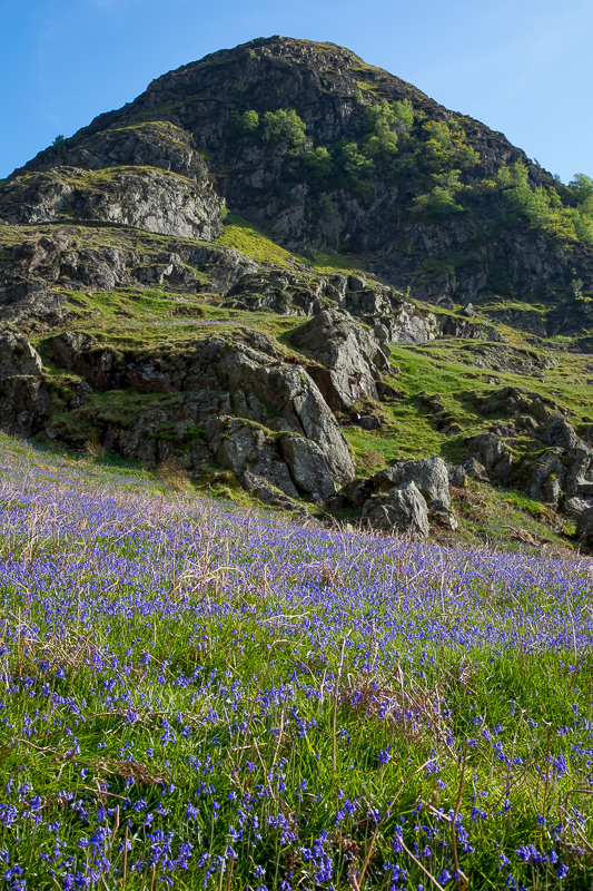
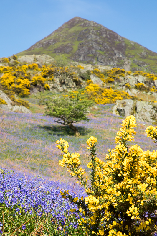
| 17.02 The fellside was roped off to prevent trampling. |

|
||
|---|---|---|
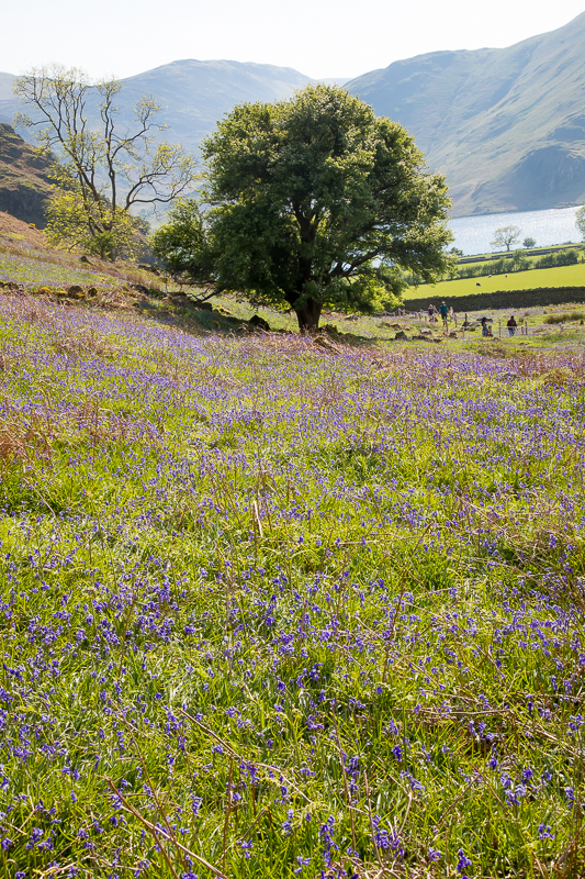
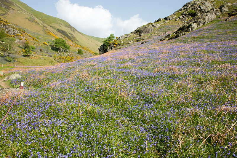
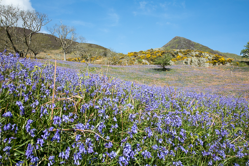
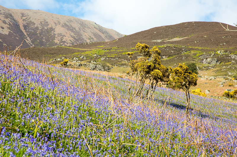
| 17.10 Panorama 806 Bluebells in bloom below Rannerdale Knots. |
 |
||
|---|---|---|
| 17.13 Whiteless Pike. |
 |
||
|---|---|---|
17.14 |
 |
||
|---|---|---|
| 17.17 Grasmoor. |
 |
||
|---|---|---|
| 17.20 Whiteless Pike. |
 |
||
|---|---|---|
| 17.21 |
 |
||
|---|---|---|
| 17.21 The valley has been decorated with the colours of the Ukraine flag. |
 |
||
|---|---|---|
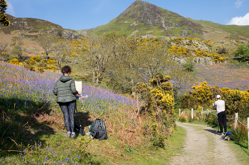
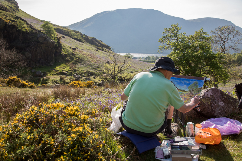
| 17.28 The best of the three artists. |
 |
||
|---|---|---|
| 17.40 Looking up from near the car park. |
|
||
|---|---|---|
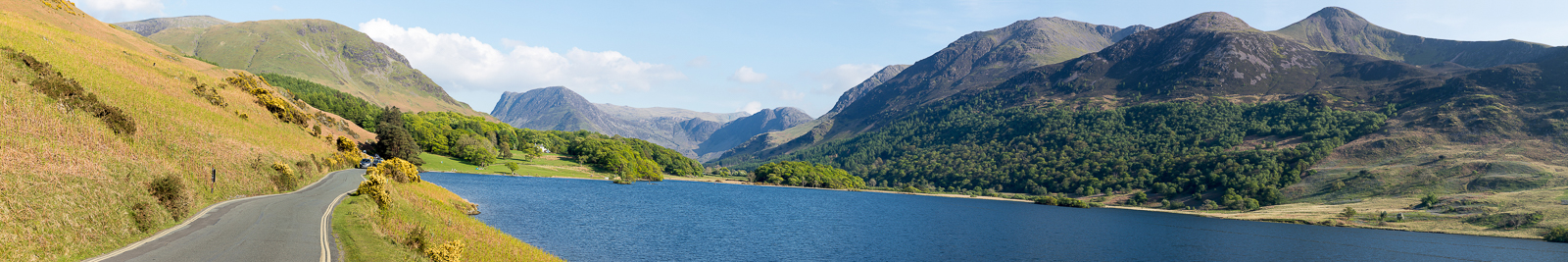
| 17.53 Panorama 807 On the road back to Buttermere and a nice view of Haystacks with Great Gable directly behind it. |
|
||
|---|---|---|
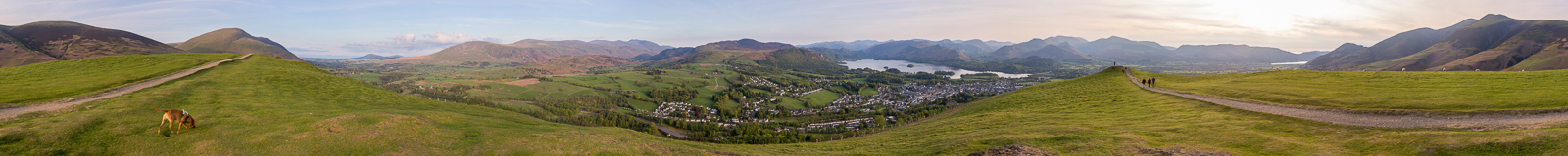
| 19.55 Panorama 808 I had a two hour wait for a table at the Indian restaurant so I took a quick trip up to Gale Road car park and the top of Latrigg. The third time I've been up it but the clearest view by far. |
|
|
 |
|---|