|
|
Walk 86 - Beda Fell - 10th January 2024 |
||||
Wainwright's Walking Guide to the Lake District Fells - Book 2 The Far Eastern Fells |
||||
#196 Beda Fell 1670 ft |
 |
Distance |
3 miles |
|
Time |
2.3 hrs |
|||
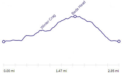
Lowest Point |
514 ft |
|||
Highest Point |
1670 ft |
|||
Total Ascent |
1200 ft |
|||
Walk Rating - moderate |
||||
 |
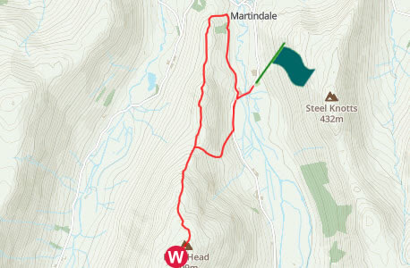
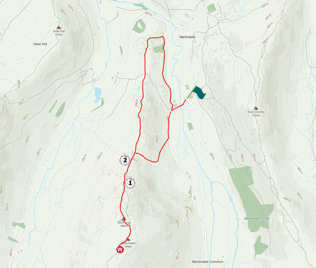
Mini Route Map Go to walk start
|
 |
|---|
 |
||
|---|---|---|
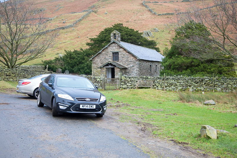
13.53 We parked on the road near the old church by Christy Bridge. This is not a sensible time to be setting off on a walk in winter! |
 |
||
|---|---|---|
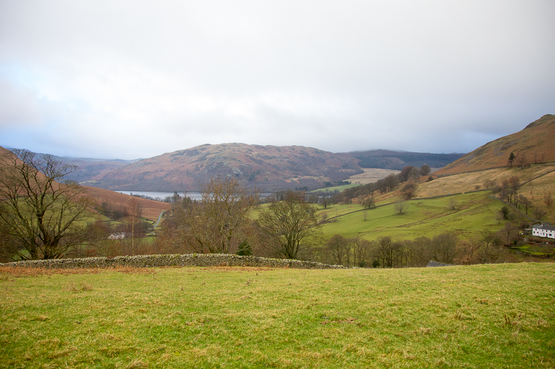
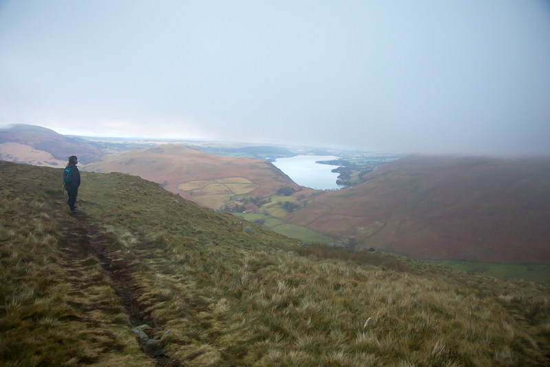
14.12 Turning onto the ridge brought a view of Ullswater in front of Gowbarrow Fell. |
 |
||
|---|---|---|
| 14.12 The new church at the top of the hill |
 |
||
|---|---|---|
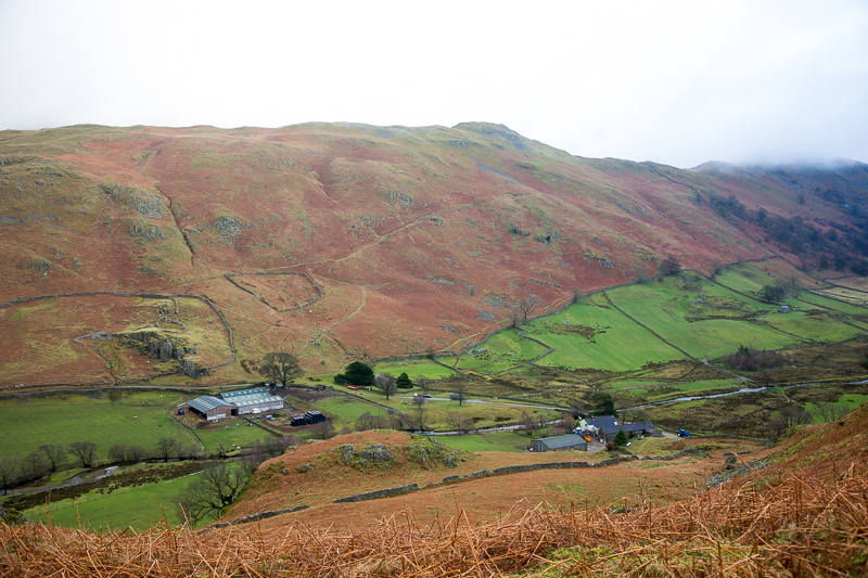
| 14.25 Looking down on the car and Winter Crag Farm. |
 |
||
|---|---|---|
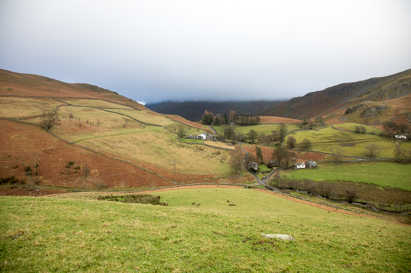
| 14.31 Clouds rising behind Steel Knotts. |
 |
||
|---|---|---|
| 14.33 Winter Crag. |
 |
||
|---|---|---|
| 14.36 Panorama 879 Winter Crag. |
 |
||
|---|---|---|
| 14.50 Looking back at Hallin Fell behind Winter Crag. |
 |
||
|---|---|---|
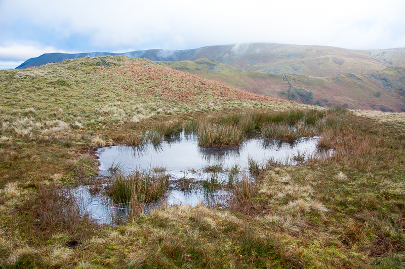
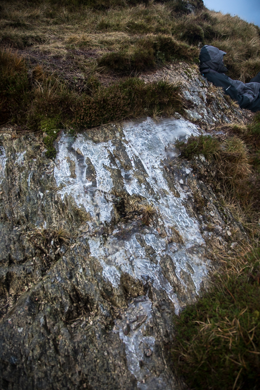
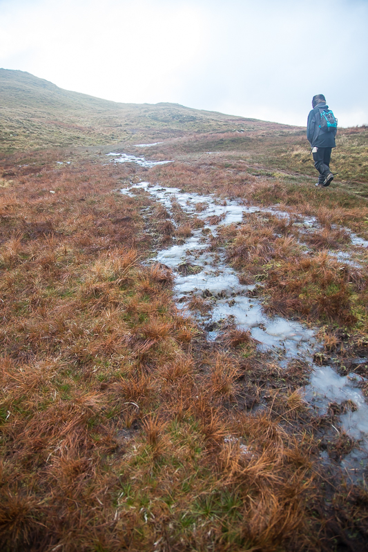
| 14.54 We stated to reach frozen water. |
 |
||
|---|---|---|
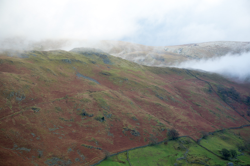
| 15.10 As we climbed everything became frozen. It was minus 1 degree at ground level today so a degree or two colder up here. |
 |
||
|---|---|---|
| 15.13 A small frozen stream. |
 |
||
|---|---|---|
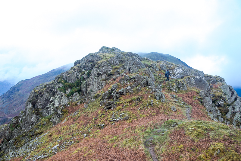
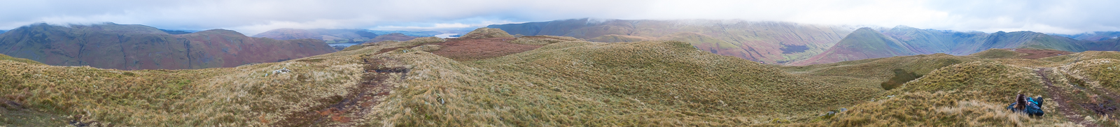
| 15.23 Panorama 880 Beda Fell summit southern peak. We had already stopped on the northern peak and tried to decide which end was higher. It was one of those situations where the other end always seems the higher. Neither the map nor Wainwright is any help. According to AW the high point of this view is St.Sunday Crag but not today. |
 |
||
|---|---|---|
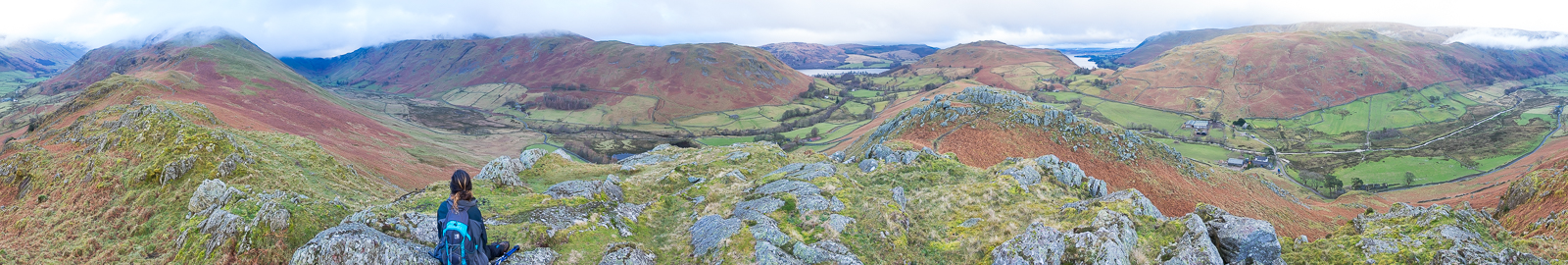
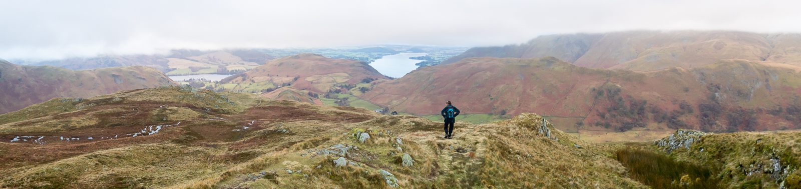
| 15.29 Panorama 881 Back to the North end as we make a quick retreat. Though clear now the area was completely covered in cloud 10 minutes later. |
 |
||
|---|---|---|
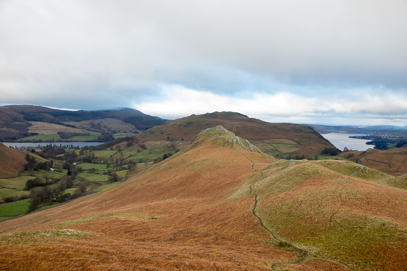
| 15.40 The north end of Ullswater glistening beyond Hallin Fell but it was becoming quite gloomy where we were. |
 |
||
|---|---|---|
| 15.57 We took the side path back down to the road, which was a much faster route. |
 |
||
|---|---|---|
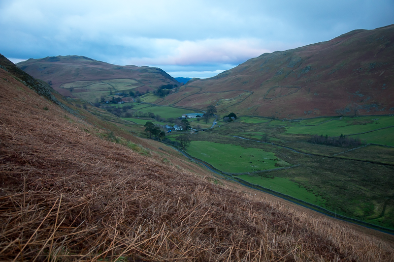
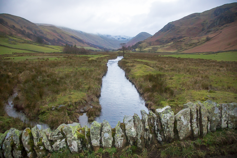
| 16.09 The Martindale valley from Christy Bridge looking along Howegrain Beck towards The Nab. |
|
|
 |
|---|