|
|
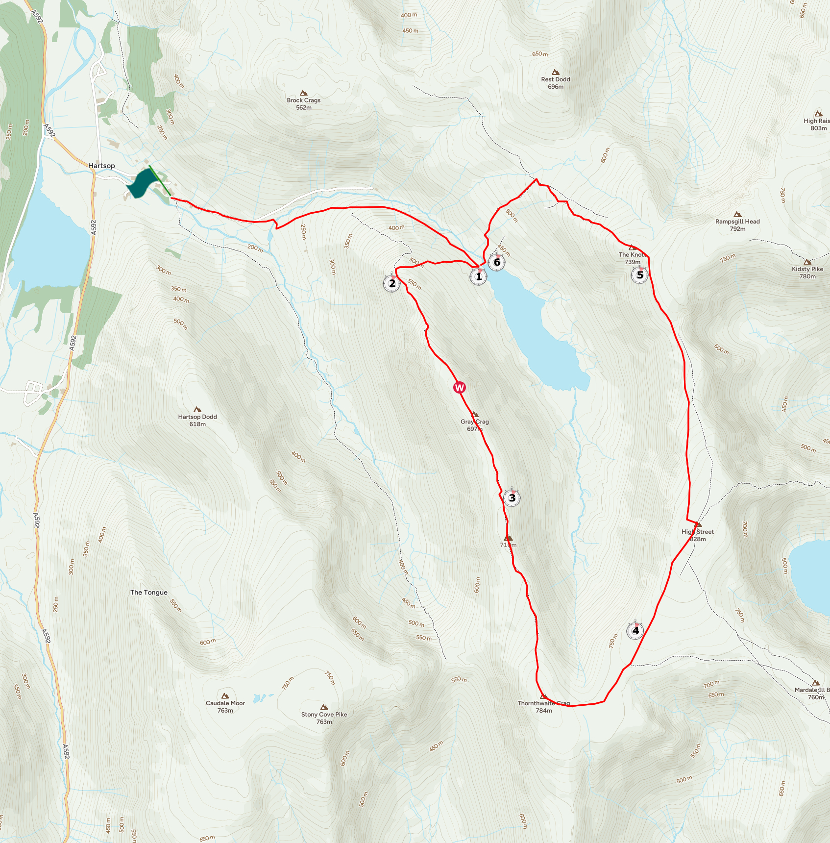
Walk 90 - Gray Crag - 10th May 2024 |
||||
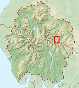
Wainwright's Walking Guide to the Lake District Fells - Book 2 The Far Eastern Fells |
||||
#203 Gray Crag 2293 ft Thornthwaite Crag 2572 ft #115 (revisit) |
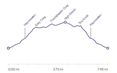 |
Distance |
7.5 miles |
|
Time |
6.5 hrs |
|||
Lowest Point |
586 ft |
|||
Highest Point |
2717 ft |
|||
Total Ascent |
2473 ft |
|||
Walk Rating - moderate |
||||
 |
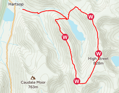
Mini Route Map Go to walk start
|
 |
|---|
 |
||
|---|---|---|
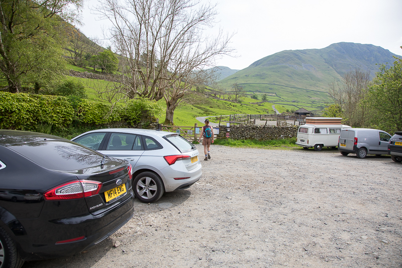
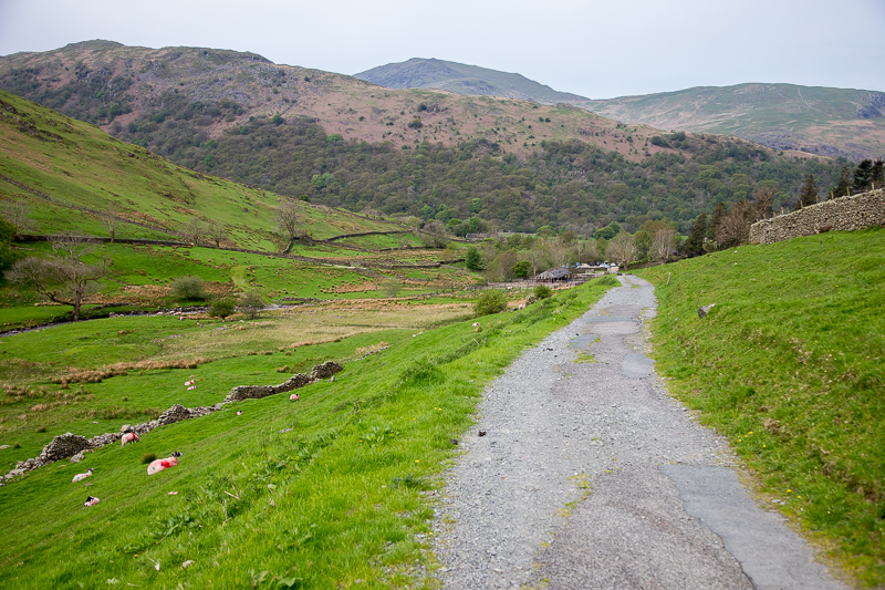
10.57 Leaving Hartsop car park with the summit we are heading for in full view further up the valley. |
 |
||
|---|---|---|
11.04 Looking back at Hartsop. |
 |
||
|---|---|---|
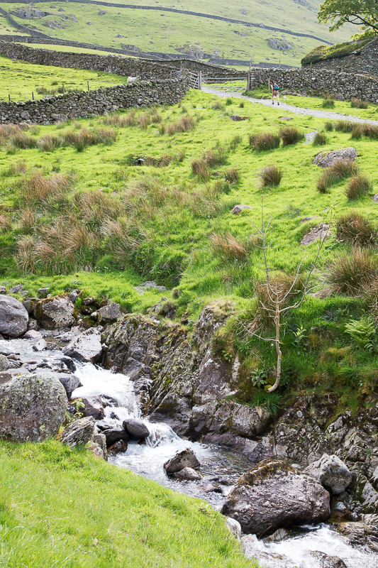
| 11.10 Crossing the beck |
 |
||
|---|---|---|
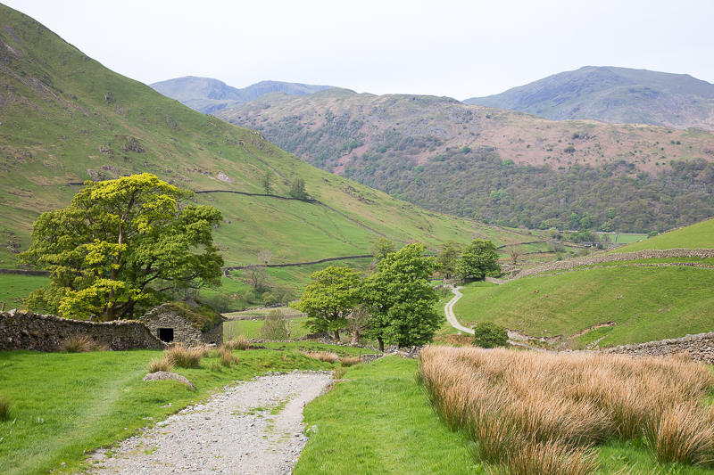
| 11.17 On the track looking back at Hartsop Above How. |
 |
||
|---|---|---|
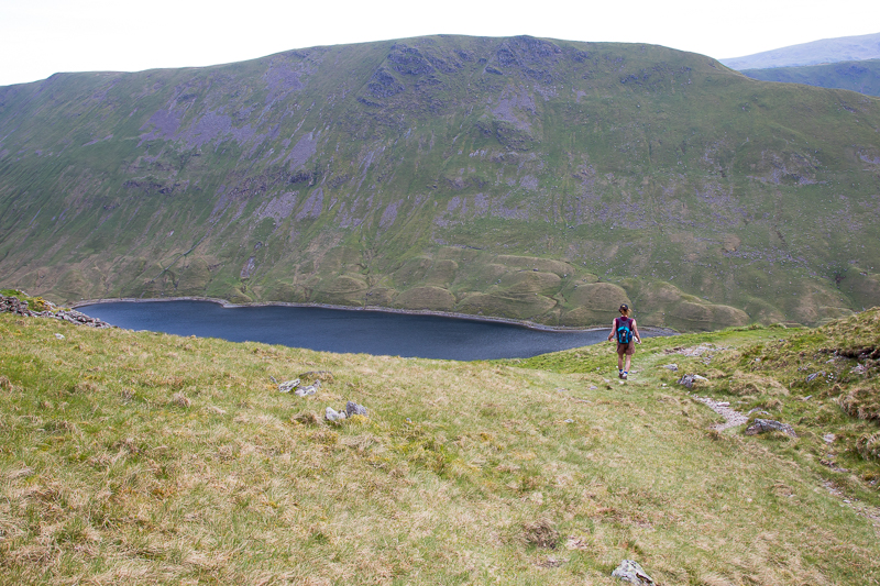
11.44 Getting close to the lake. |
 |
||
|---|---|---|
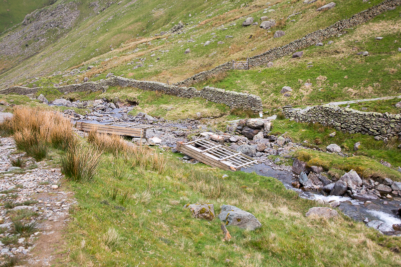
| 11.50 The bridge has recently been destroyed in a storm. |
 |
||
|---|---|---|
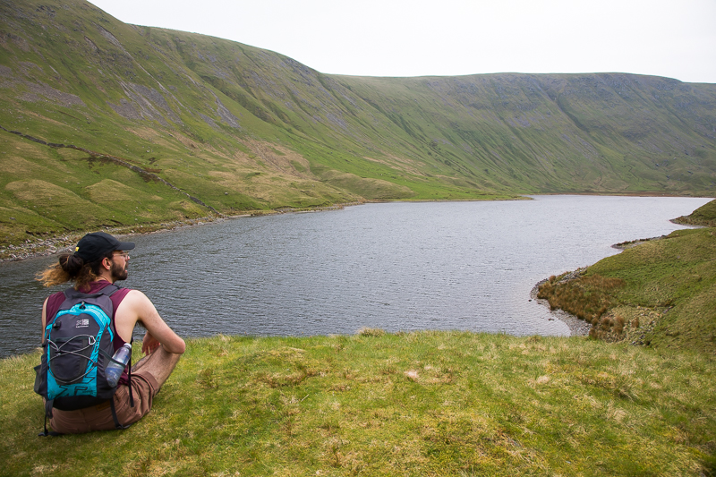
| 11.55 Quick water break overlooking Hayeswater. |
|
||
|---|---|---|
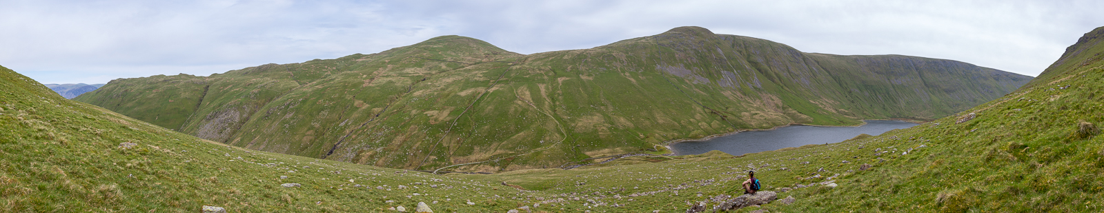
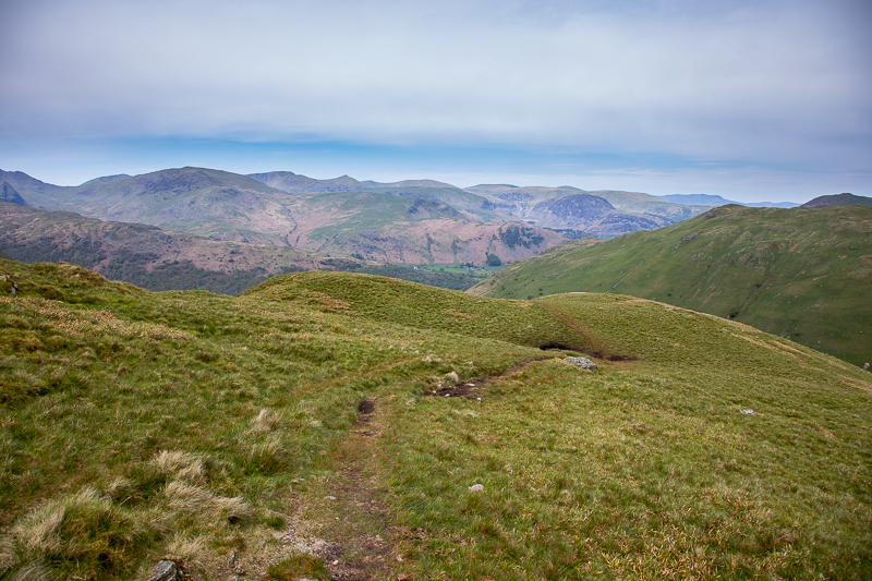
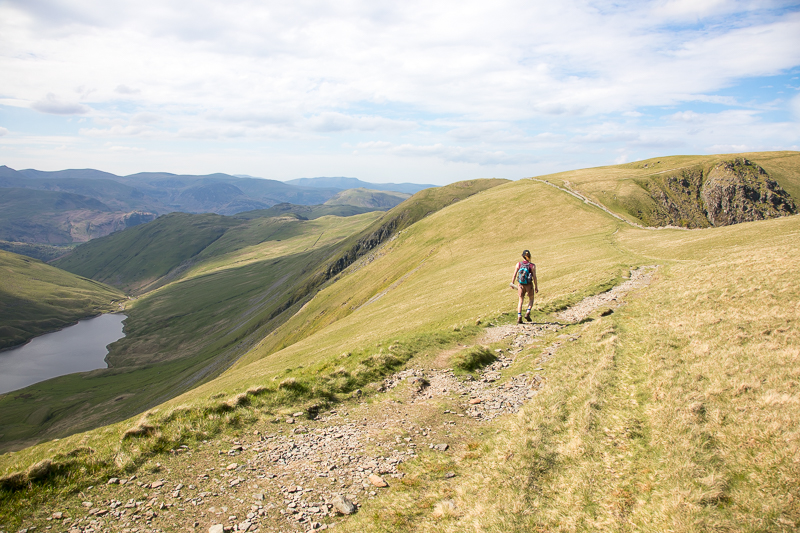
| 12.20 Panorama 939 We are now going off piste and climbing up the side of Gray Crag. Although there was no path it was easy enough. |
 |
||
|---|---|---|
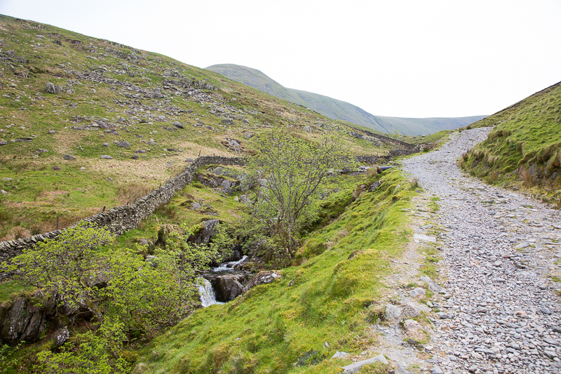
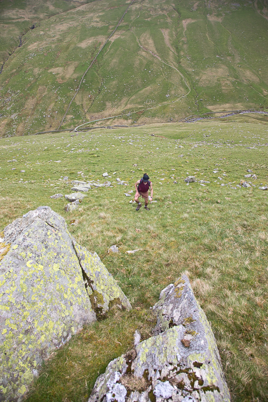
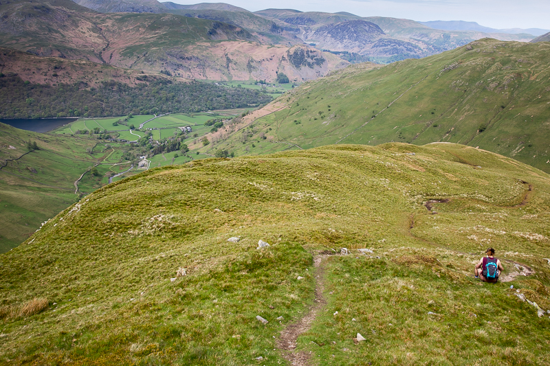
12.23 On the way up the side. Although this route is off the path for a while it means that we can gain a lot of the height on the main Hayeswater path rather than going up the nose. |
 |
||
|---|---|---|
| 12.34 Reaching to ridge where we rejoined the path running up the nose. |
 |
||
|---|---|---|
| 12.42 Hartsop car park is now in sight. |
|
||
|---|---|---|
| 12.46 On the ridge up to the summit. |
 |
||
|---|---|---|
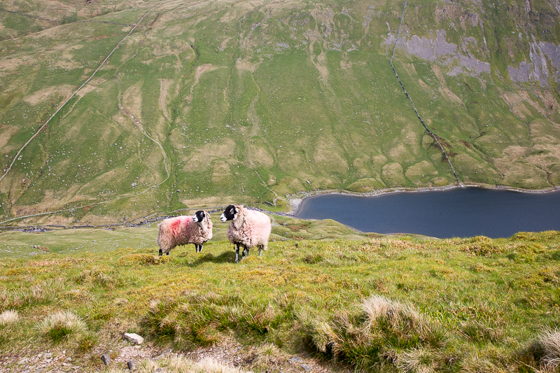
12.48 Two sheeps. |
 |
||
|---|---|---|
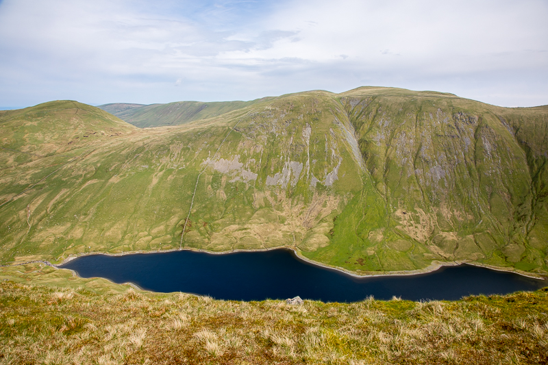
| 13.13 Hayeswater. |
|
||
|---|---|---|
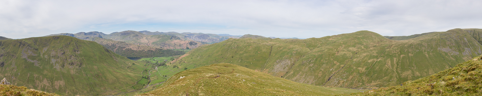
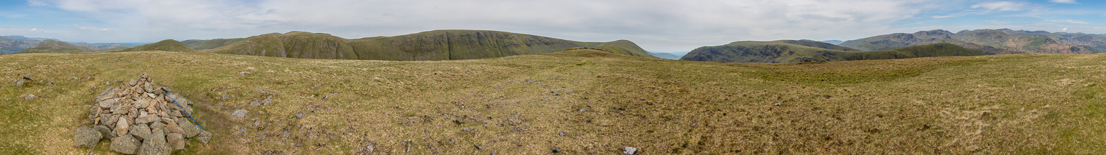
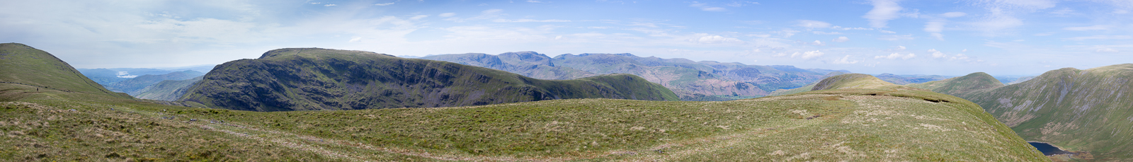
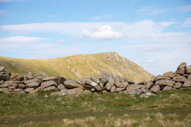
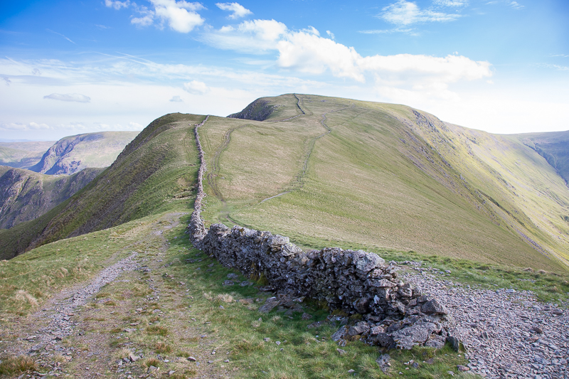
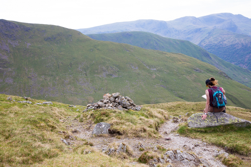
| 13.17 Panorama 940 The summit of Gray Crag. |
|
||
|---|---|---|
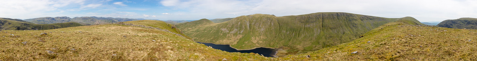
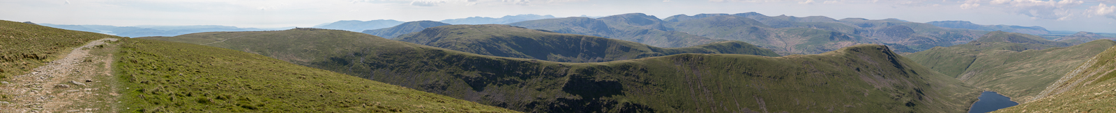
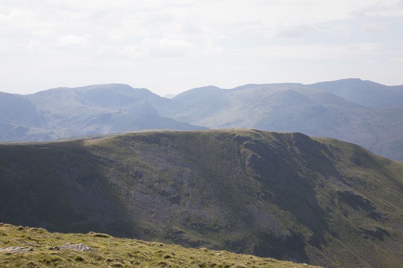
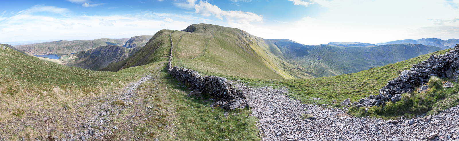
| 13.25 Panorama 941 The highest point on the OS map is a hundred yards further and 1m higher. Is that the summit then? Its a moot point really since after this the ridge runs up further to Thornthwaite Crag. |
 |
||
|---|---|---|
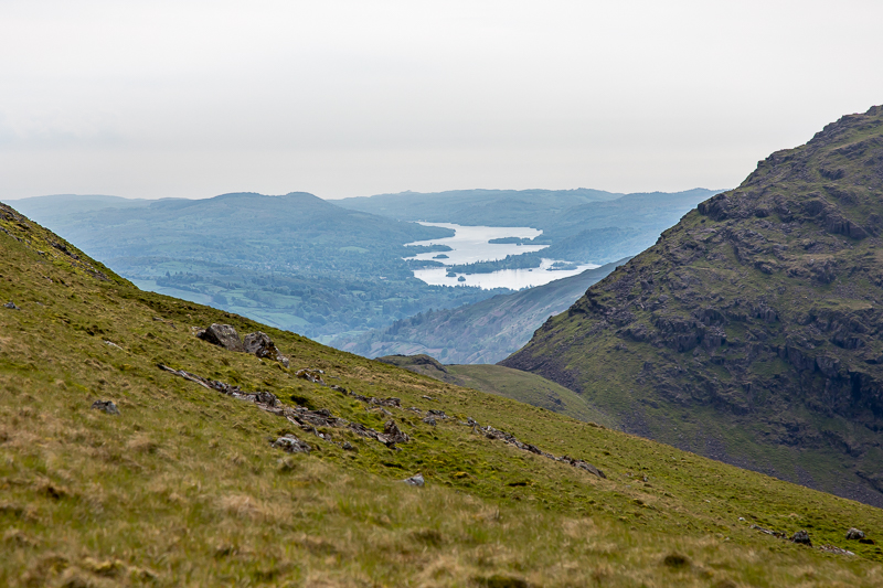
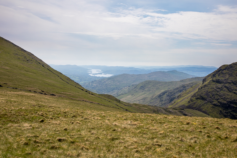
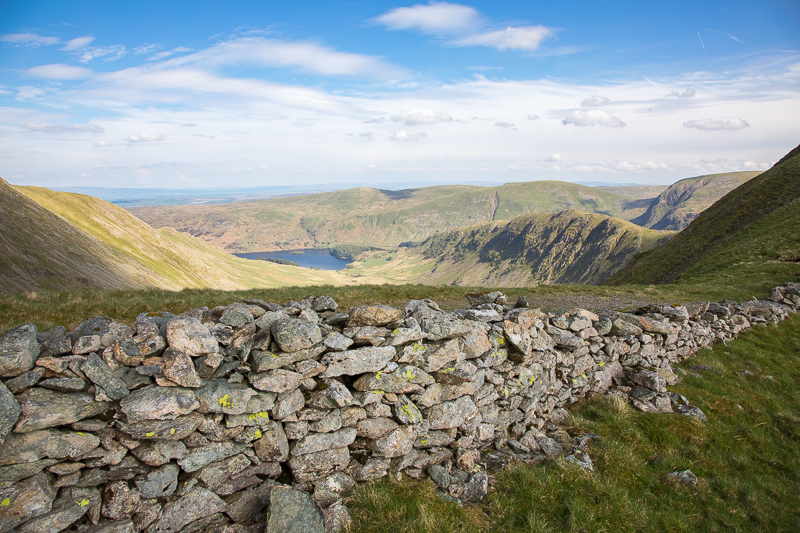
| 13.58 Windermere through Threshthwaite Mouth. |
|
||
|---|---|---|
| 14.11 Panorama 942 On the ridge above Threshthwaite Mouth. |
 |
||
|---|---|---|
| 14.14 Wansfell through Threshthwaite Mouth. |

|
||
|---|---|---|
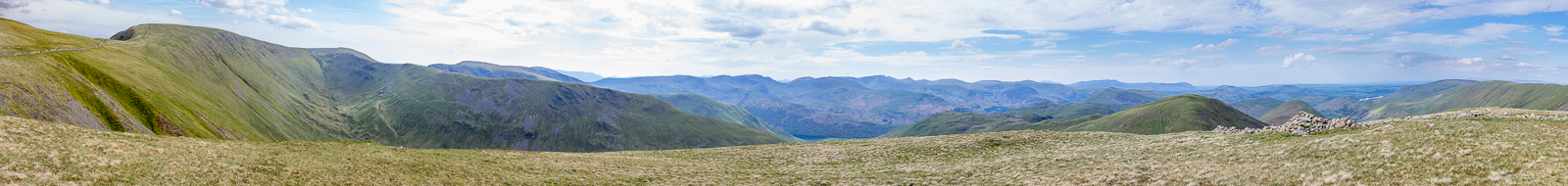
| 14.39 Panorama 943 A revisit to Thornthwaite Crag and a panorama taken while balanced on the wall. |
 |
||
|---|---|---|
| 14.48 Crossing to High Street. |
|
||
|---|---|---|
| 15.08 Panorama 944 On the side of High Street. |

|
||
|---|---|---|
| 15.32 Panorama 945 A revisit to High Street ten years on. |
 |
||
|---|---|---|
| 15.45 High Crag above Buttermere in the distance between Cofa Pike and Dollywagon Pike. |
 |
||
|---|---|---|
| 15.45 On Racecourse Hill. |
 |
||
|---|---|---|
| 15.53 People on the top of Kidsty Pike. |
 |
||
|---|---|---|
| 15.54 Haweswater and Rough Crag. |
 |
||
|---|---|---|
15.55 Looking back at Racecourse Hill. |
|
||
|---|---|---|
| 15.56 Panorama 945 The Straits of Riggindale. |
|
||
|---|---|---|
| 16.06 Panorama 946 A revisit to The Knott. |
 |
||
|---|---|---|
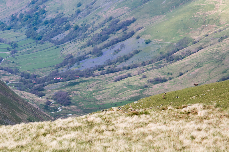
| 16.07 Just after leaving the summit of The Knott with a view down into Martindale. The Red House, Bluebells and Deer at the head of the valley. |
 |
||
|---|---|---|
| 16.15 On the path down to Hayeswater with the slope we walked up earlier, in the background. |
 |
||
|---|---|---|
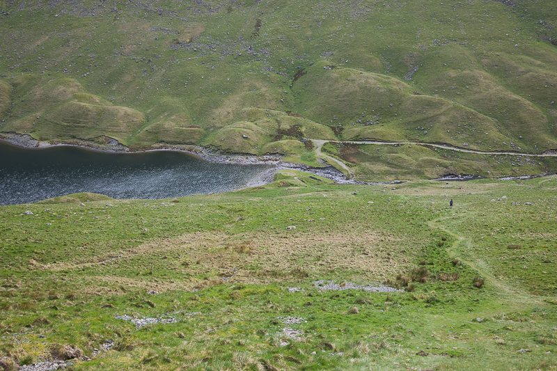
| 16.16 Hayeswater |
 |
||
|---|---|---|
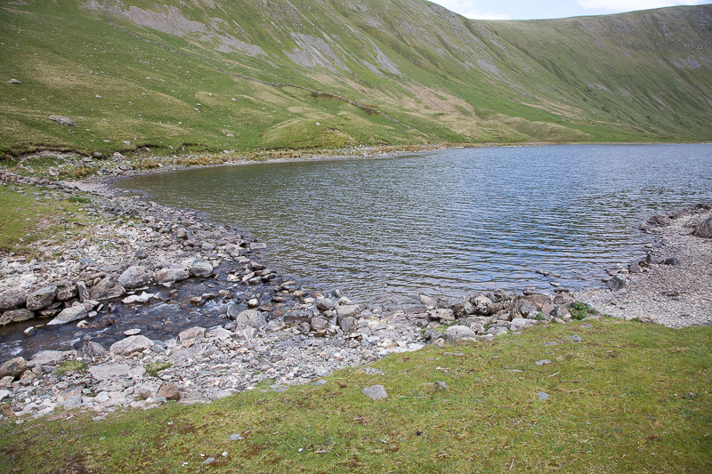
| 16.26 Nearing the outlet of Hayeswater . . . . . . |
 |
||
|---|---|---|
| 16.59 . . . . . . . where we had a little paddle to cool our feet. It was bitingly cold. |
 |
||
|---|---|---|
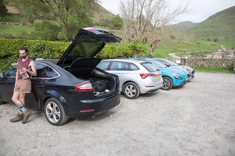
| 17.29 Back in the car park and ready to head to Manchester. |
|
|
 |
|---|