|
|
Walk 89 - Angletarn Pikes - 9th May 2024 |
||||
Wainwright's Walking Guide to the Lake District Fells - Book 2 The Far Eastern Fells |
||||
#202 Angletarn Pikes 1860ft |
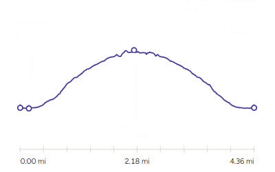 |
Distance |
4.4 miles |
|
Time |
4.5 hrs |
|||
Lowest Point |
484 ft |
|||
Highest Point |
1860 ft |
|||
Total Ascent |
1580 ft |
|||
Walk Rating - moderate |
||||
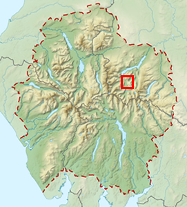 |
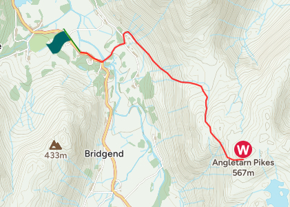
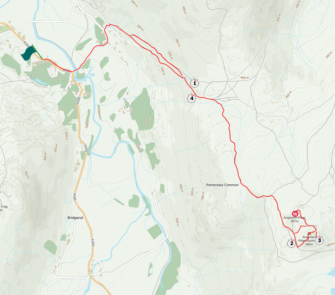
Mini Route Map Go to walk start
|
 |
|---|
 |
||
|---|---|---|
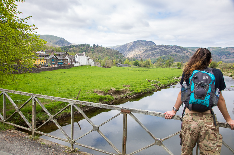
12.46 On the bridge crossing Goldrill Beck in Patterdale. We later had dinner in the White Lion, the skinny pub in the picture. |
 |
||
|---|---|---|
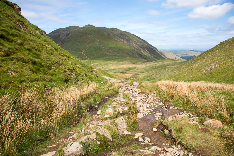
12.56 At the junction of the paths where we start up the side of Place Fell. |
 |
||
|---|---|---|
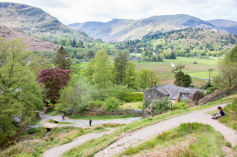
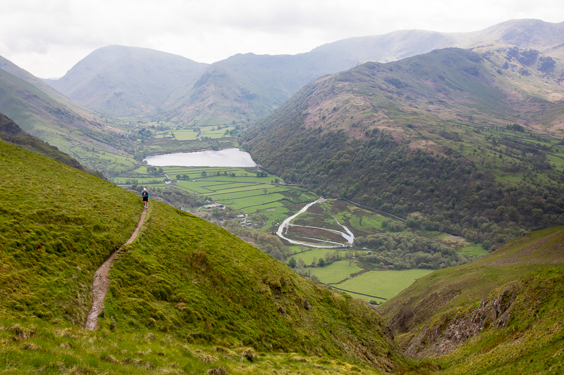
| 13.30 Nearing Boredale House. |
 |
||
|---|---|---|
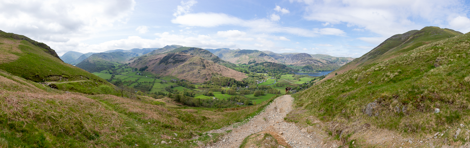
| 13.37 Panorama 936 Boredale Hause. |
 |
||
|---|---|---|
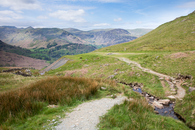
| 13.42 Boredale Hause. |
 |
||
|---|---|---|
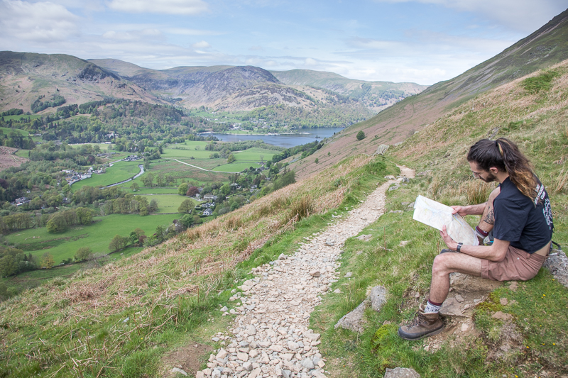
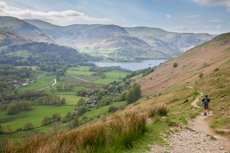
13.57 Looking back down the path towards Place Fell. |
 |
||
|---|---|---|
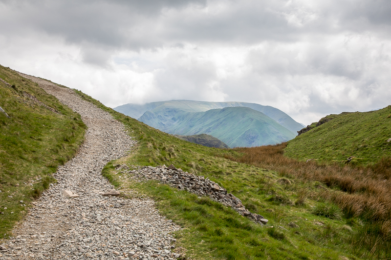
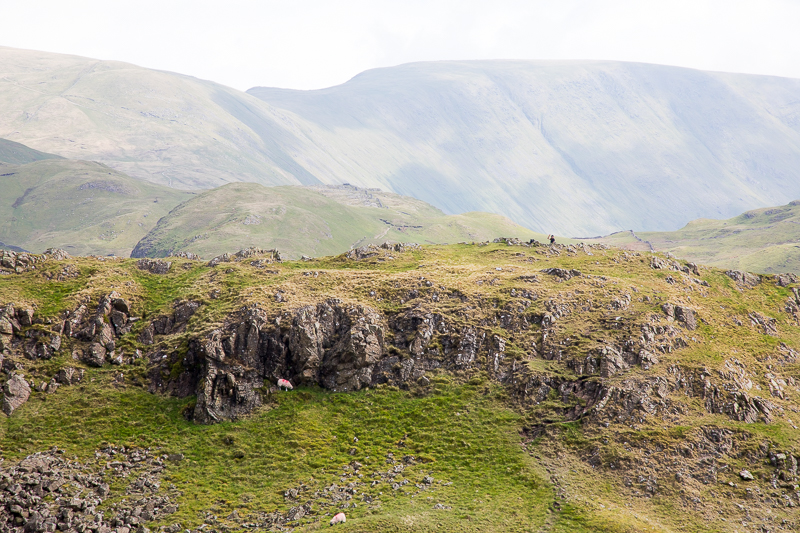
| 14.02 Rounding the side of the fell with Hartsop Dodd in the distance. |
 |
||
|---|---|---|
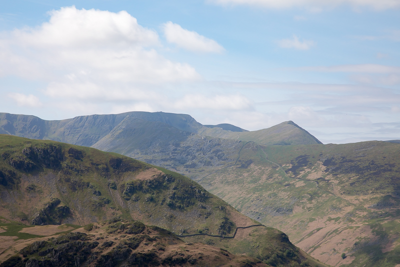
| 14.07 Looking across the valley to St.Sunday Crag. |
 |
||
|---|---|---|
| 14.09 Helvellyn. |
 |
||
|---|---|---|
| 14.22 Looking down on Brotherswater. |
 |
||
|---|---|---|
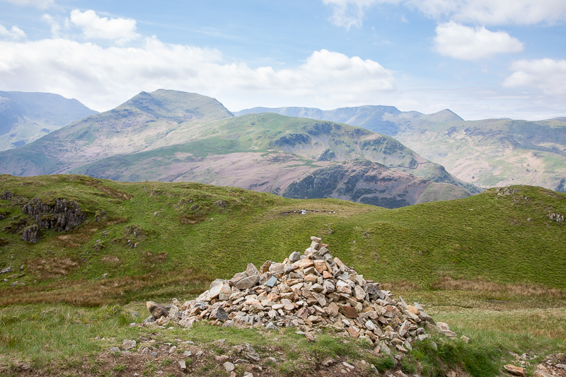
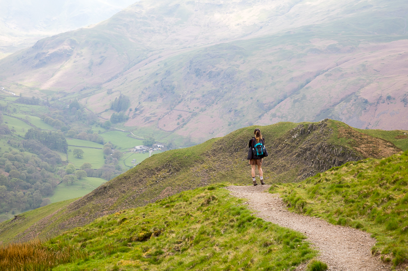
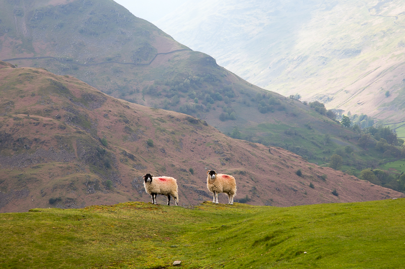
| 14.36 Reaching the south top of Angletarn Pikes. |
|
||
|---|---|---|
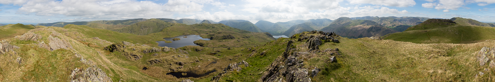
| 14.46 Panorama 937 Angletarn Pikes South Top. A few minutes after this picture we realised that this is not the summit but it was only a few minutes walk to the north top. |
|
||
|---|---|---|
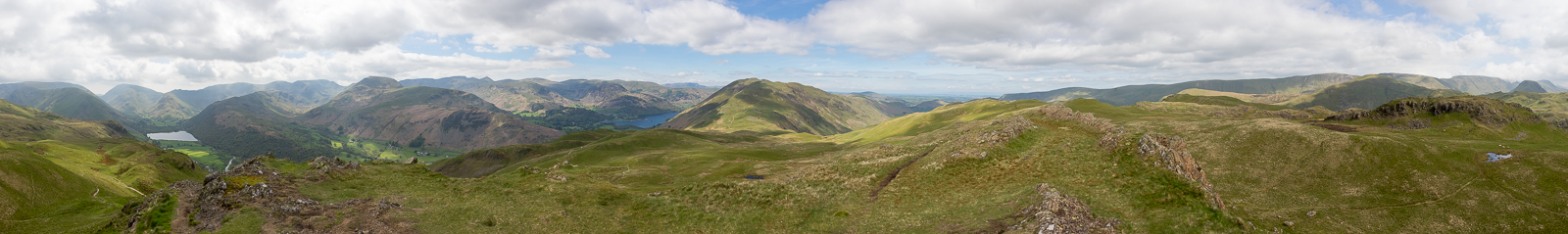
| 14.58 Panorama 938 Angletarn Pikes summit - Wainwright #202 1860ft. From here we cannot see Angle Tarn itself, but can see the southern end of Ullswater. |
 |
||
|---|---|---|
| 14.59 Looking from the summit to the south top. |
 |
||
|---|---|---|
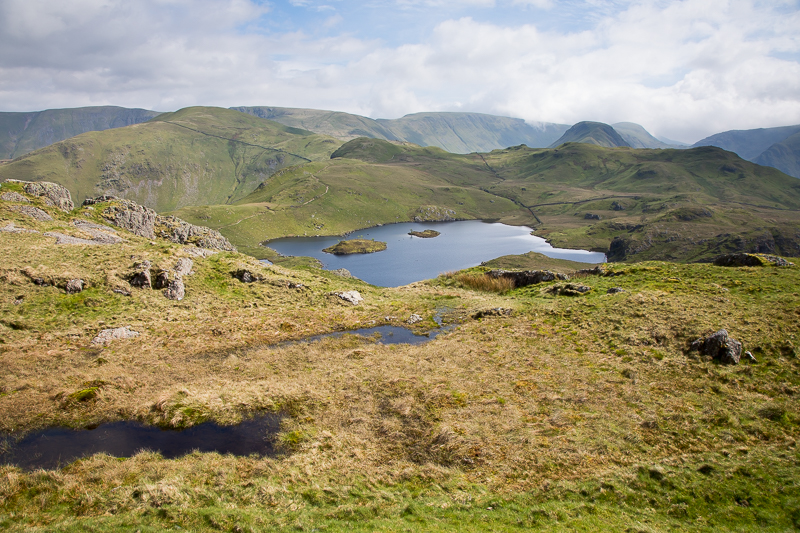
| 16.06 After lunch overlooking Angle Tarn we started back down more or less the same route. |
 |
||
|---|---|---|
| 16.12 Water glinting on the side of St Sunday Crag below Gavel Fell. |
 |
||
|---|---|---|
| 16.15 On the path back down overlooking Deepdale. |
 |
||
|---|---|---|
| 16.31 Back at Boredale. |
 |
||
|---|---|---|
| 16.37 We took the slightly higher path for part of the way down the side of Place Fell. |
|
|
 |
|---|