|
|
Walk 88 - Howtown to Pooley Bridge - 8th May 2024 |
||||
Wainwright's Walking Guide to the Lake District Fells - Book 2 The Far Eastern Fells |
||||
#198 Wether Hill 2198 ft |
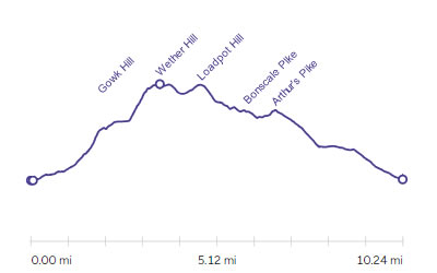 |
Distance |
6.6 miles |
|
Time |
7 hrs |
|||
Lowest Point |
514 ft |
|||
Highest Point |
2201 ft |
|||
Total Ascent |
2175 ft |
|||
Walk Rating - moderate but long |
||||
 |
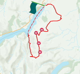
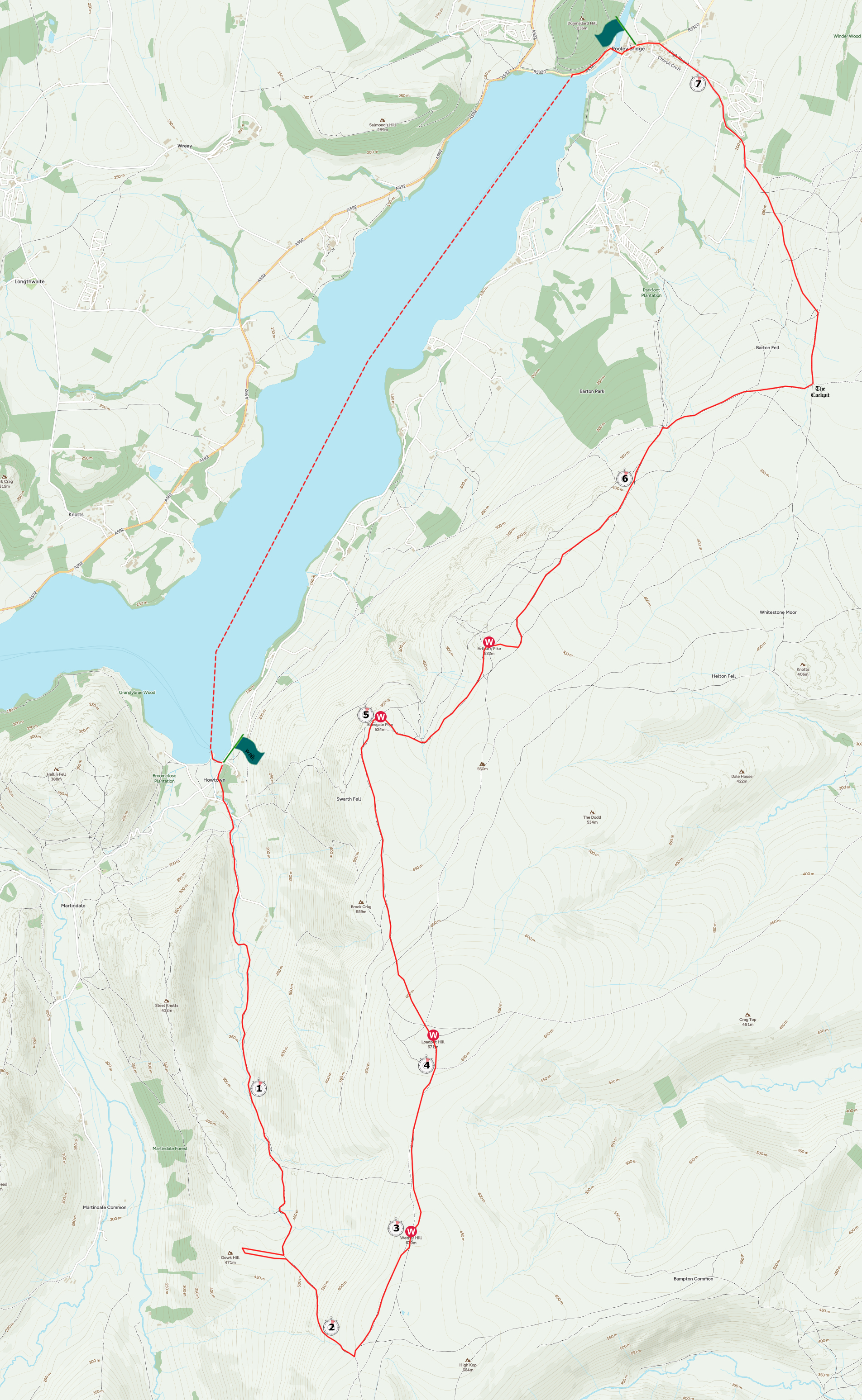
Mini Route Map Go to walk start
|
 |
|---|
 |
||
|---|---|---|
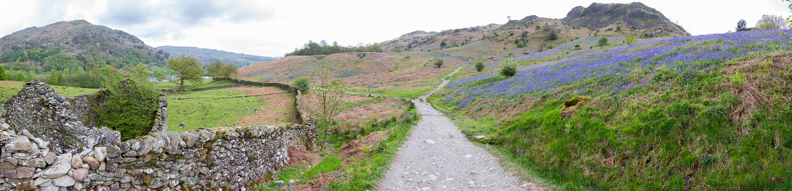
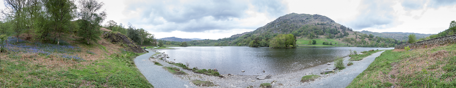
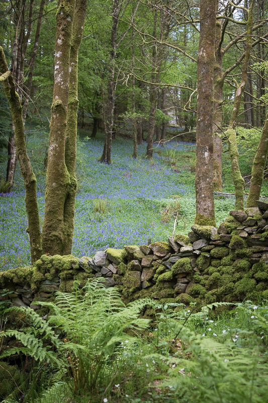
16.08 Panorama 925 We arrived the day before and took a walk around Rydal Water to look at the bluebells. |
 |
||
|---|---|---|
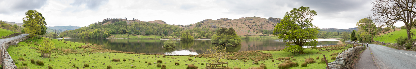
16.22 Rydal Water |
 |
||
|---|---|---|
16.30 Looking up Loughrigg. |
 |
||
|---|---|---|
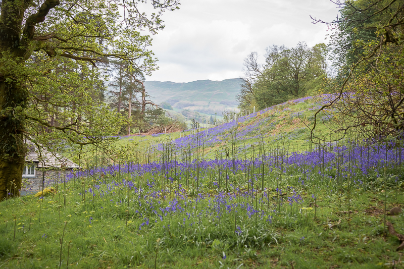
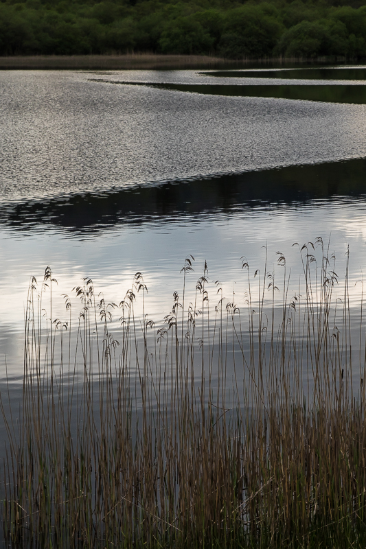
16.32 Another bank of Bluebells near the end of the lake. |
 |
||
|---|---|---|
| 16.53 On the main road on the way back to the car park. |
 |
||
|---|---|---|
| 16.56 Rydal Water. |
 |
||
|---|---|---|
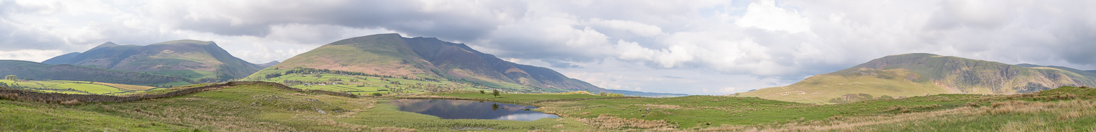
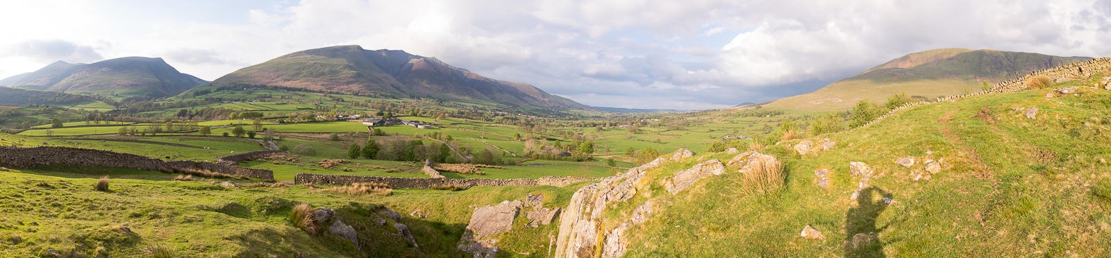
| 17.59 Panorama 926 Then a trip north to find Tewet Tarn. |
 |
||
|---|---|---|
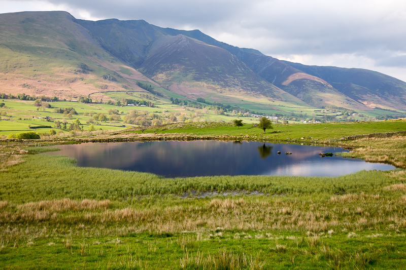
| 17.59 Tewet Tarn and Blencathra. |
 |
||
|---|---|---|
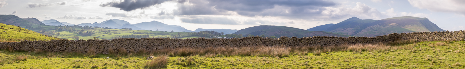
| 18.07 Panorama 927 Looking west from Tewet Tarn. |
 |
||
|---|---|---|
| 19.03 A little climbing spot on the walk back to the road. |
 |
||
|---|---|---|
| 21.21 Panorama 928 After dinner in Keswick we drove down the side of Ullswater to Patterdale. |
 |
||
|---|---|---|
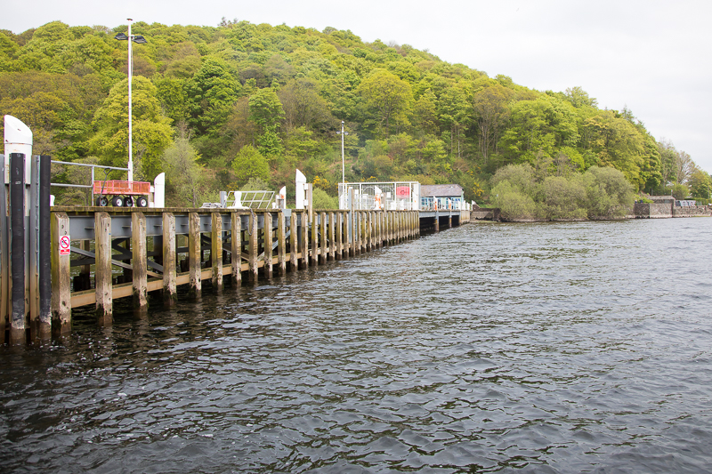
12.27 After a hearty breakfast at the Patterdale Hotel we drove up to Pooley Bridge and waited for the ferry. |
 |
||
|---|---|---|
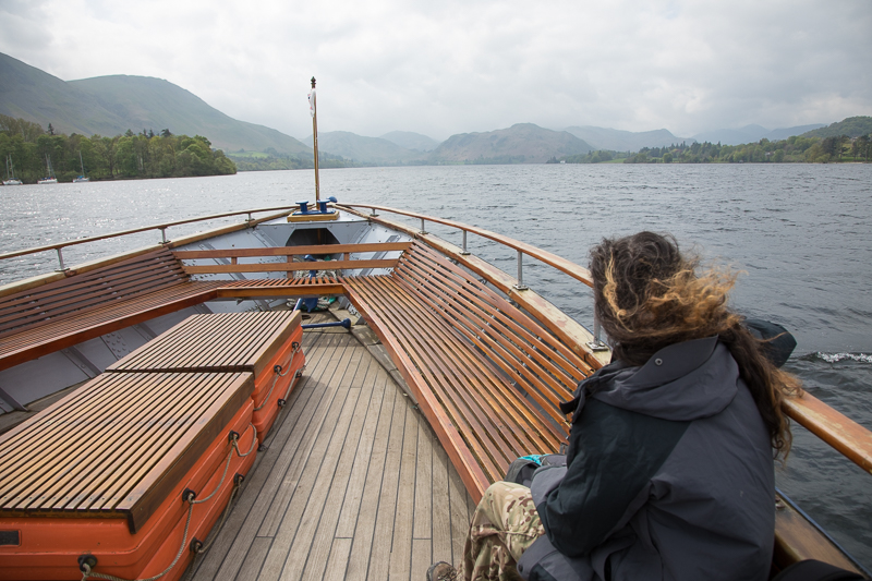
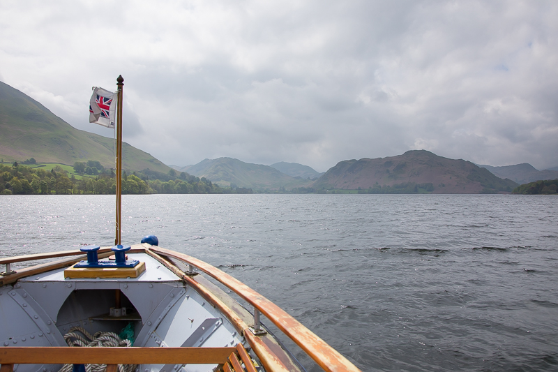
| 12.36 Cruising down Ullswater. |
 |
||
|---|---|---|
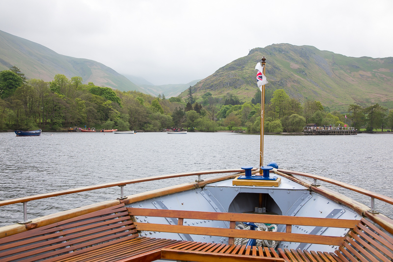
| 12.40 Approaching Howtown. |
 |
||
|---|---|---|
| 12.46 Howtown is well hidden. |
 |
||
|---|---|---|
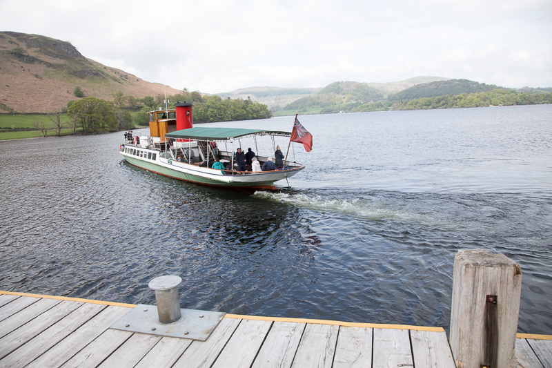
| 12.54 The boat leaving for its contnued journey to Glenridding. |
 |
||
|---|---|---|
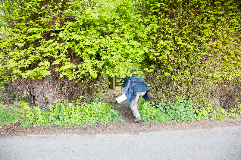
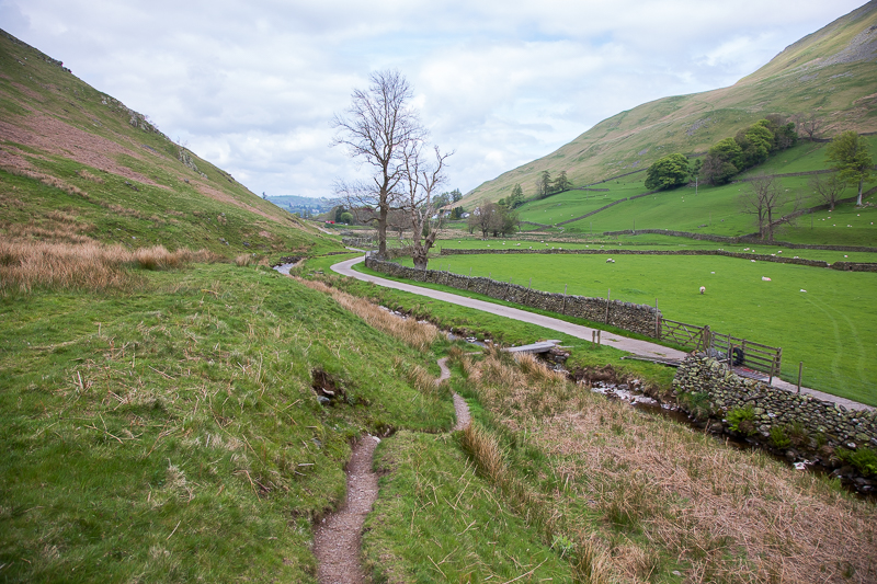
| 13.02 The start of a short linking path to use as a shortcut to the Fusedale Path. |
 |
||
|---|---|---|
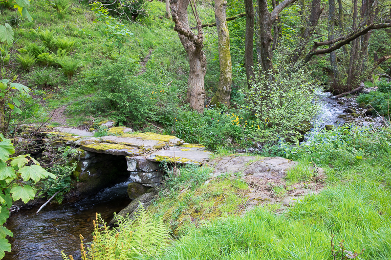
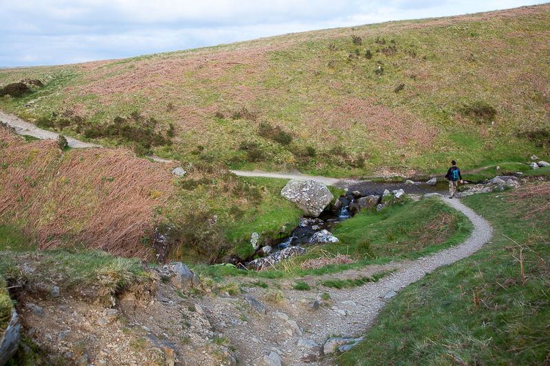
| 13.07 Bridge at the bottom of Fusedale. |
 |
||
|---|---|---|
| 13.12 Fusedale |
 |
||
|---|---|---|
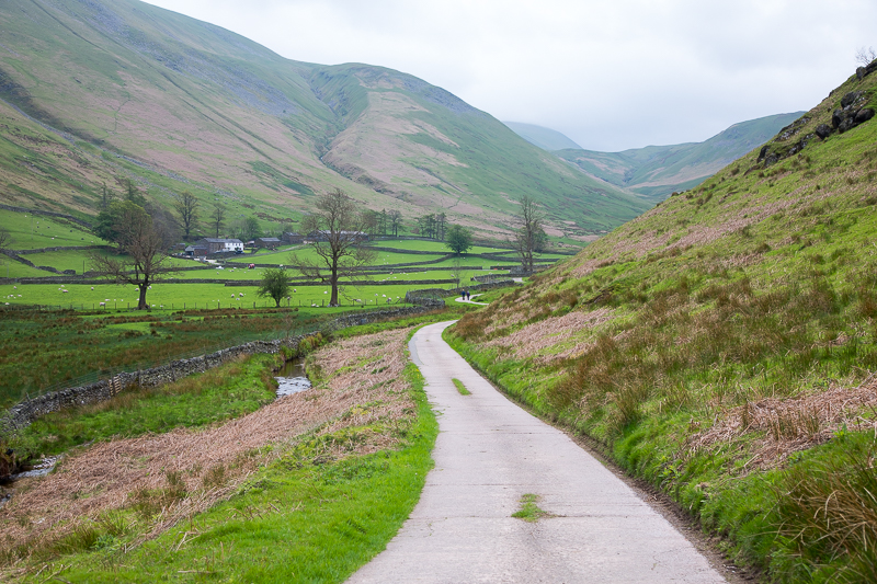
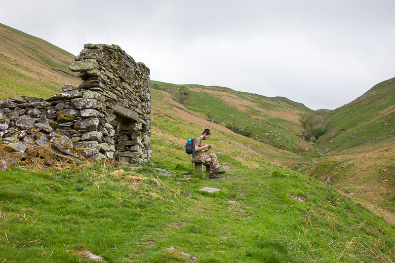
| 13.17 At this point the road goes into a farm and the path heads onto the Fellside. |
 |
||
|---|---|---|
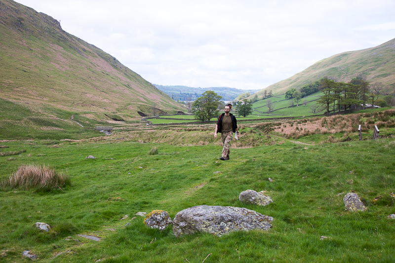
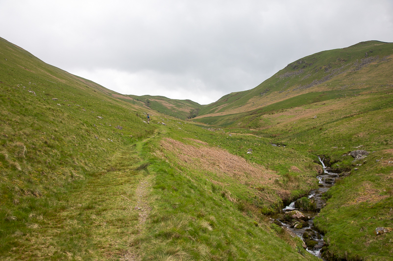
| 13.29 Fusedale. |
 |
||
|---|---|---|
| 13.33 Fusedale. |
 |
||
|---|---|---|
| 13.40 Fusedale. |
 |
||
|---|---|---|
| 13.51 Fusedale. |
 |
||
|---|---|---|
| 14.12 Fusedale with Pikeawassa to the left. |
 |
||
|---|---|---|
| 14.14 Nearing the top of Fusedale. |
 |
||
|---|---|---|
| 14.46 Panorama 929 Gowk Hill. |
 |
||
|---|---|---|
| 14.47 Gowk Hill. |
 |
||
|---|---|---|
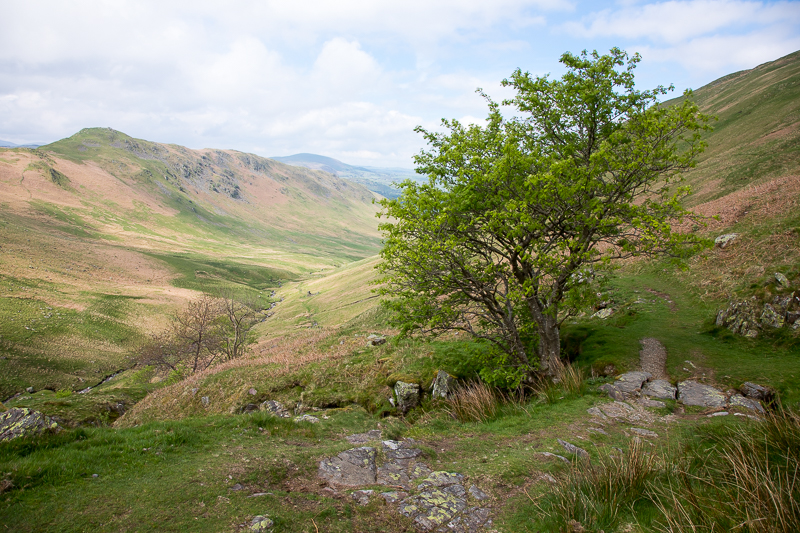
15.12 Beda Fell catching the light. |
|
||
|---|---|---|
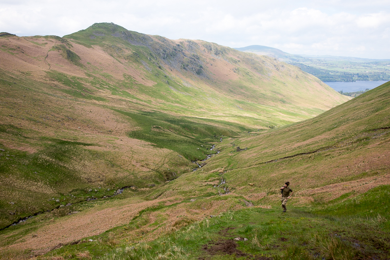
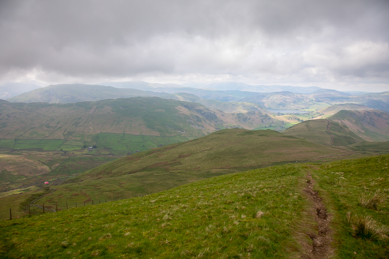
| 15.19 Looking down on Gowk Hill as we climb Wether Hill. |
 |
||
|---|---|---|
| 15.29 Reaching the top of the ascent and about to turn left onto the Wether Hill ridge. |

|
||
|---|---|---|
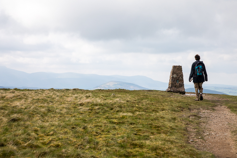
| 16.30 Panorama 930 Wether Hill summit. Wainwright#198, 2198 ft and our highest point of the day. We actually arrived here at 15.56 and I took a panorama then. After we had lunch and a bit of a rest and were ready to go again the cloud to the south had cleared slightly and High Raise bacame visible, so I retook it. |
 |
||
|---|---|---|
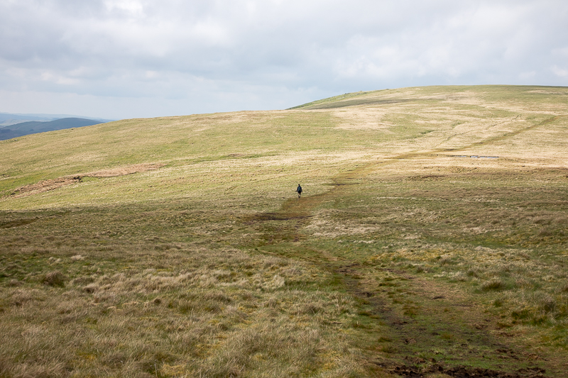
| 16.43 Crossing to Loadpot Hill. |
 |
||
|---|---|---|
| 17.07 Loadpot Hill summit. Wainwright #199, 2201ft |

|
||
|---|---|---|
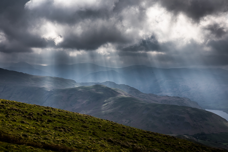
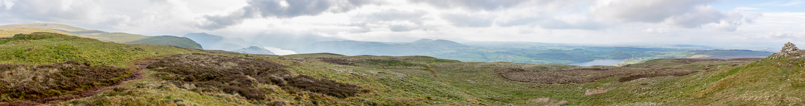
17.21 Panorama 931 A better view was had a few minutes below the summit. |
 |
||
|---|---|---|
| 17.26 Steel Knotts |
 |
||
|---|---|---|
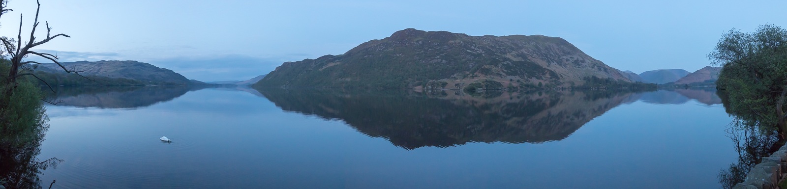
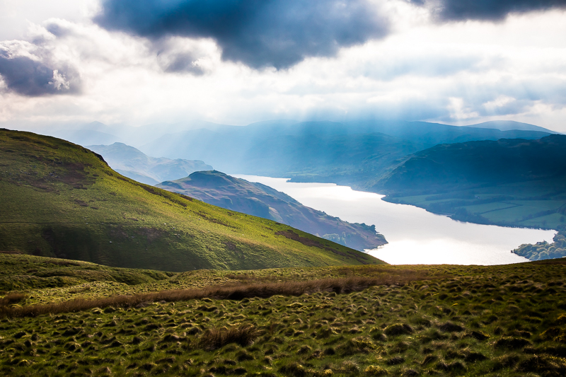
| 17.36 Ullswater. |
 |
||
|---|---|---|
| 17.38 Hallin Fell. |
 |
||
|---|---|---|
| 17.58 Hallin Fell. |
|
||
|---|---|---|
18.00 Panorama 932 The summit of Bonscale Pike - Wainwright #200 1719ft. I was happy that the 200th Wainwight happened to fall on one with a great view. |
 |
||
|---|---|---|
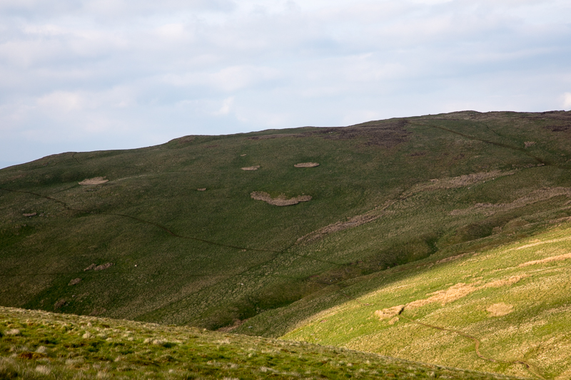
| 18.11 A big smile on the side of Arthur's Pike. |
 |
||
|---|---|---|
| 18.22 Hallin Fell and Ullswater. |
|
||
|---|---|---|
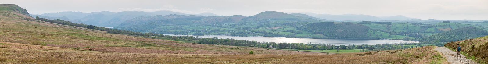
18.31 Panorama 933 Arthurs Pike summit, Wainwright #201 1745 ft. |
 |
||
|---|---|---|
| 19.03 On the walk back to Pooley Bridge. It was an easy but fairly featureless walk across the fell. This was the path crossing Aik Beck. |
 |
||
|---|---|---|
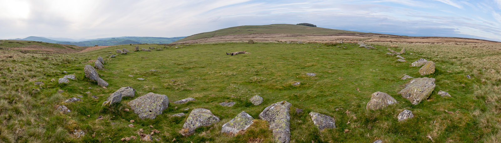
19.22 Panorama 934 At The Cockpit, a stone circle to the east of Pooley Bridge. |
|
||
|---|---|---|
19.33 Panorama 935 Descending the fellside into Pooley Bridge. We arrived back at the car just before 8pm, changed out of our boots and went into the Sun Inn for dinner. The barman recognised us from our stay in January. However the kitchen had just closed so we went over the road to the Pooley Bridge Inn for dinner. They had sublime beer there and we also won a free dessert for having the best team name. |
|
|
 |
|---|