|
|
Walk 21r - Burnbank Fell - 18th March 2025 |
||||
Wainwright's Walking Guide to the Lake District Fells - Book 7 The Western Fells |
||||
#40 Burnbank Fell 1558 ft (revisit) |
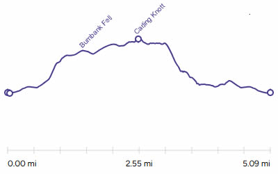 |
Distance |
5.1 miles |
|
Time |
4 hrs |
|||
Lowest Point |
714 ft |
|||
Highest Point |
1783 ft |
|||
Total Ascent |
1436 ft |
|||
Walk Rating - moderate |
||||
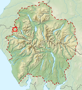 |
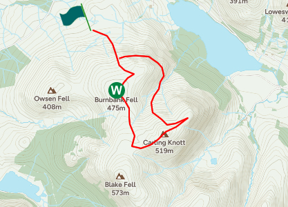
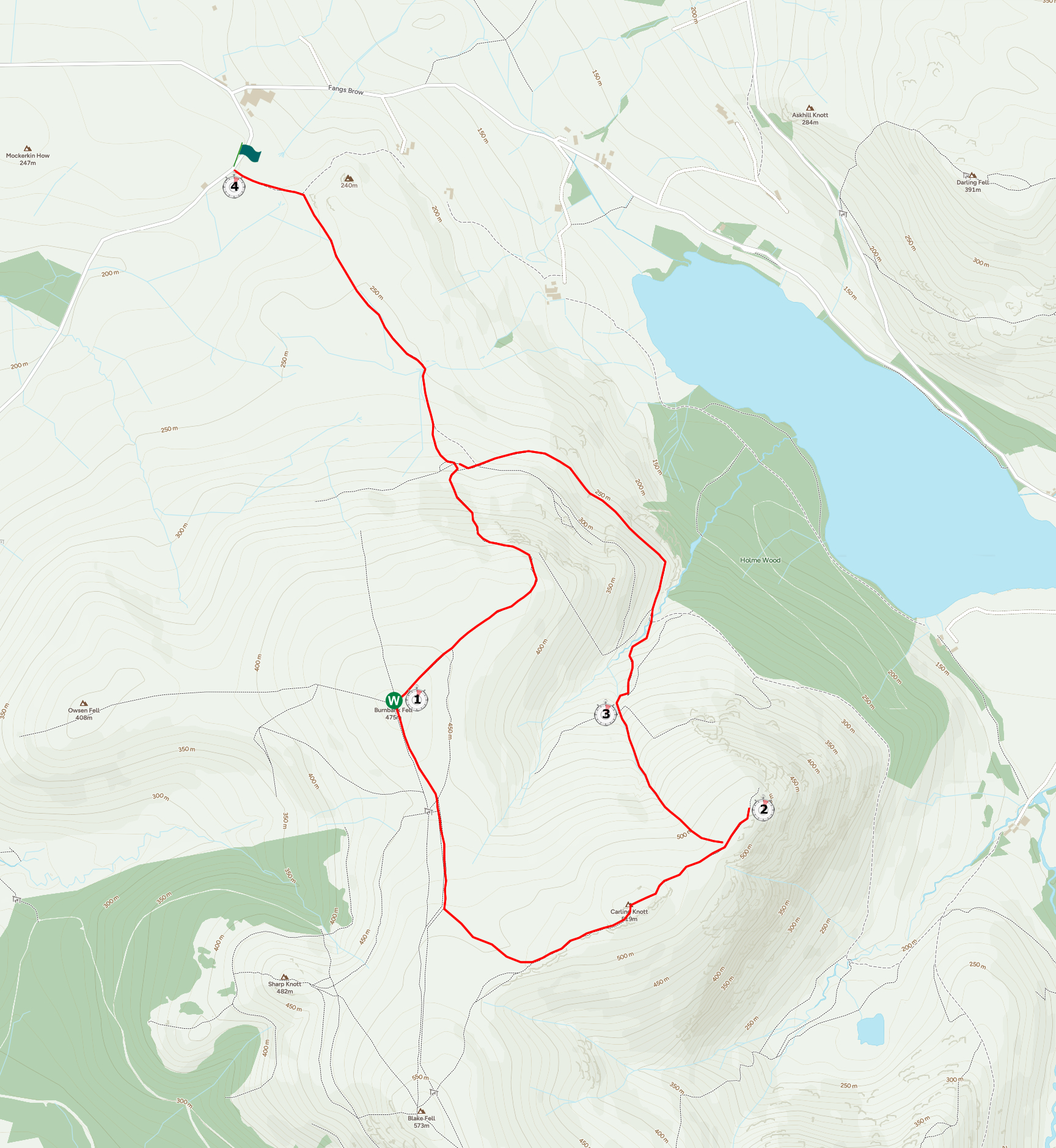
Mini Route Map Go to walk start
|
 |
|---|
 |
||
|---|---|---|
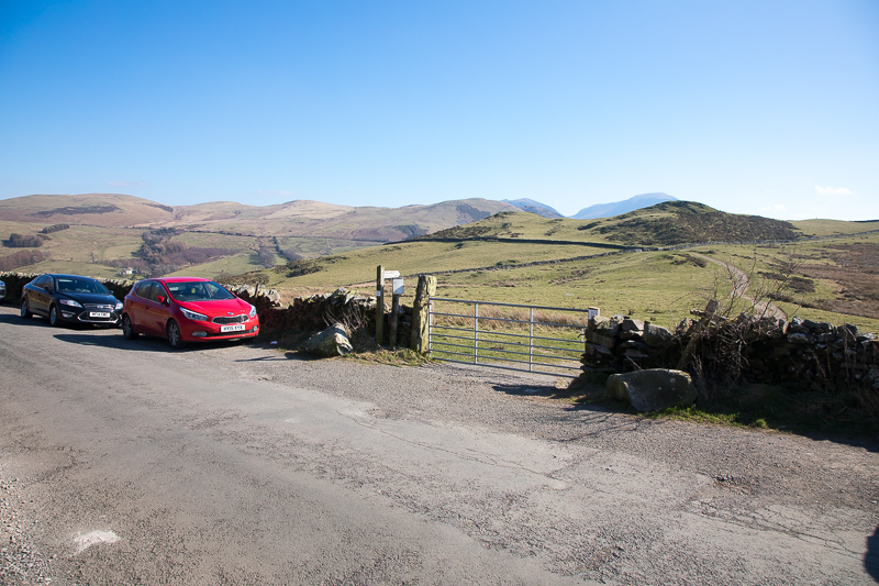
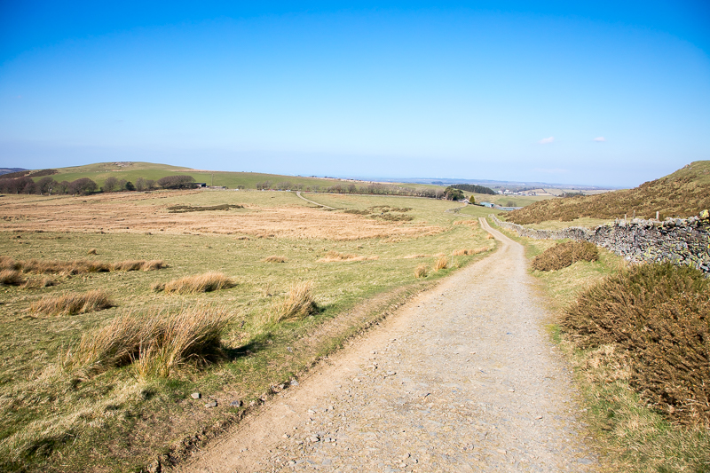
| 11.27 Car parking on the side of the road at Fangs Brow. |
 |
||
|---|---|---|
| 11.34 Looking back at the road in the distance. | ||
 |
||
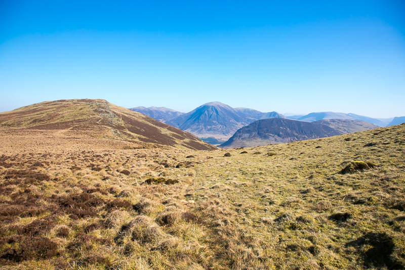
| 11.38 Burnbank Fell to the right. Grasmoor in the background. | ||
 |
||
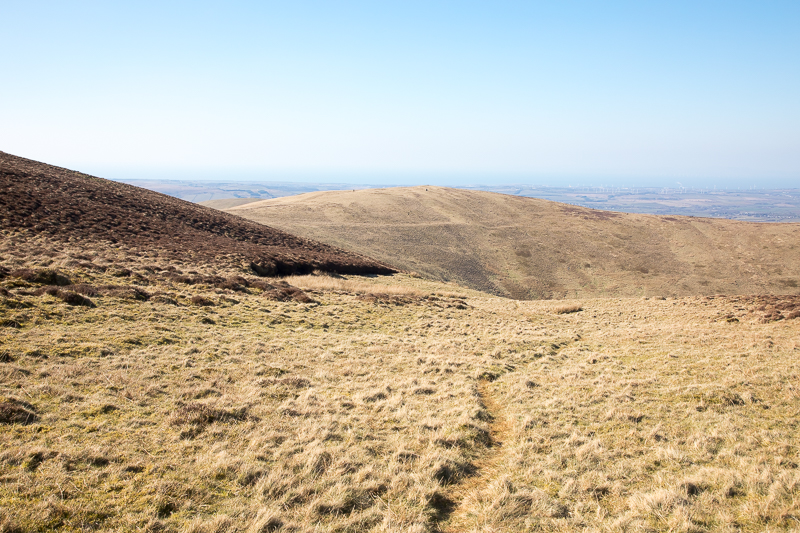
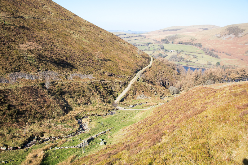
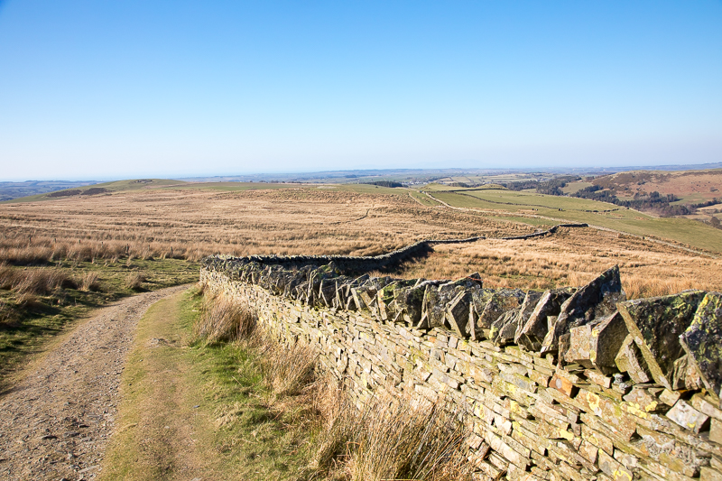
| 11.41 The path leaves the wall and heads straight up the fell. |
|
||
|---|---|---|
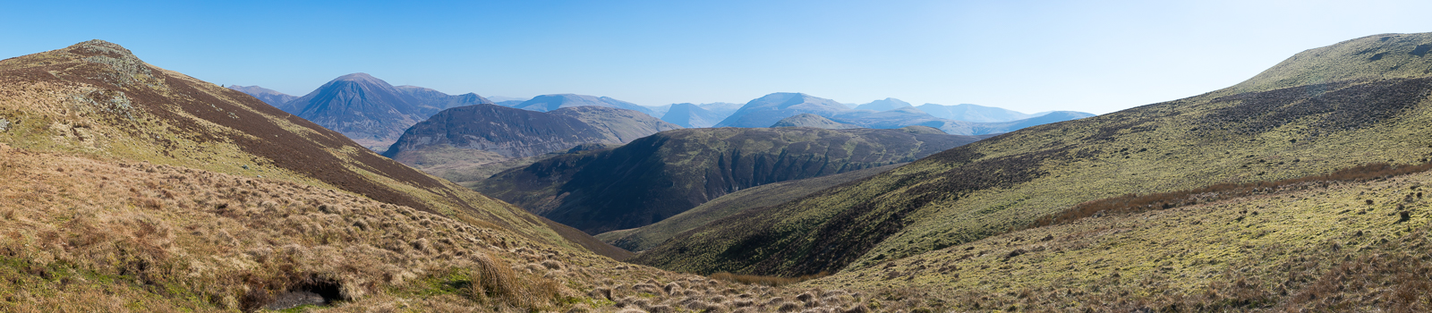
| 11.53 Panorama 1041 Beginning the steep part of the ascent. |
 |
||
|---|---|---|
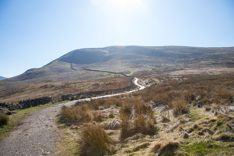
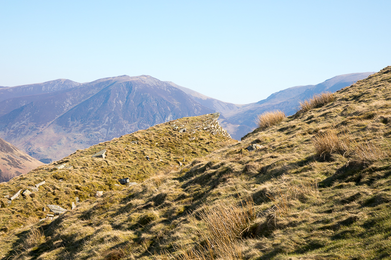
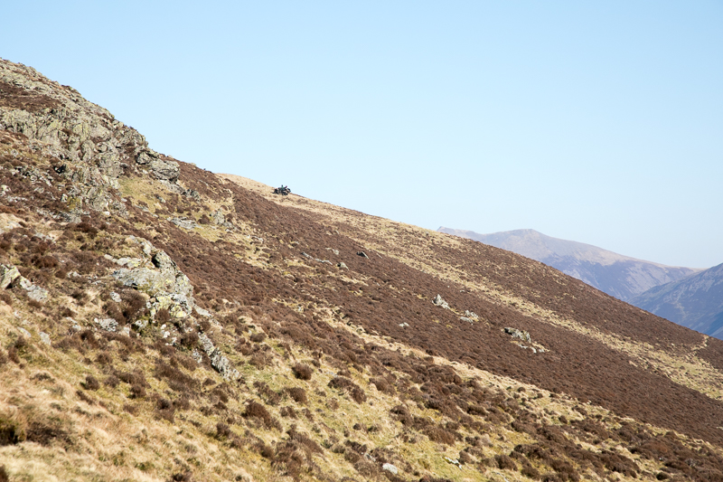
| 12.05 Nearing the top of the ascent an outcrop points at a distant Coldale Hause. |
|
||
|---|---|---|
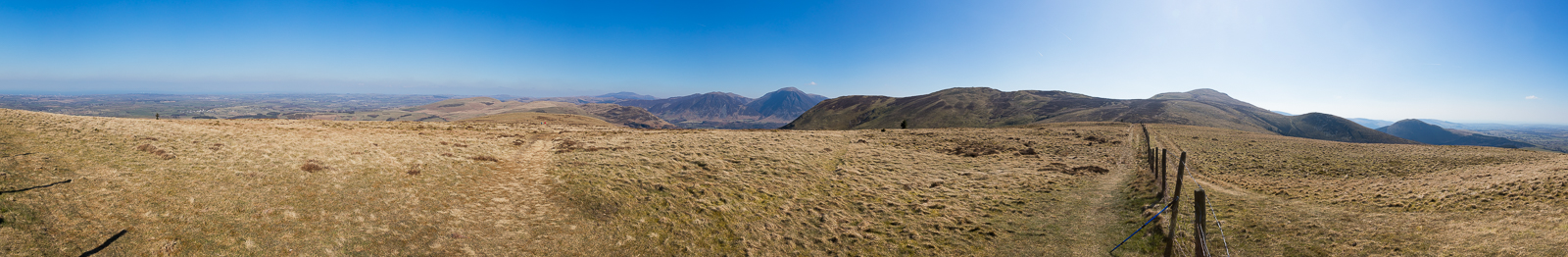
| 12.24 Panorama 1042 Burnbank Fell summit. A revisit (Wainwright #40, 1558ft) because I didn't bother taking a panorama last time. |
 |
||
|---|---|---|
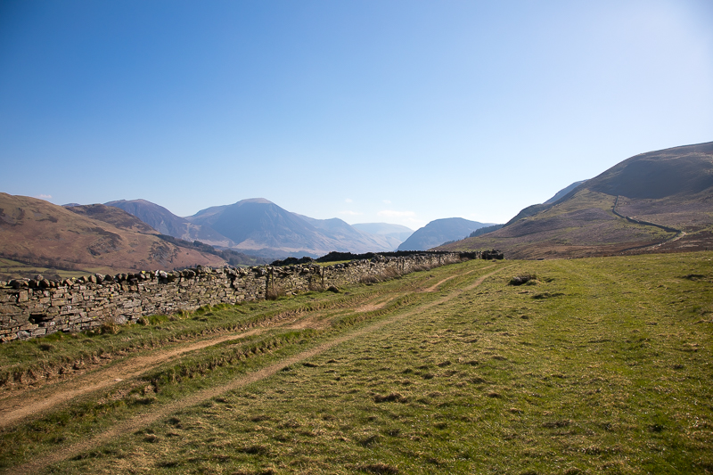
| 12.45 The path up towards Blake Fell. I will turn left as the green grass starts. |
 |
||
|---|---|---|
| 12.50 The turning point towards Carling Knott. |
 |
||
|---|---|---|
| 12.54 Panorama 1043 Looking east gave a view Fleetwith Pike in the distance. |
 |
||
|---|---|---|
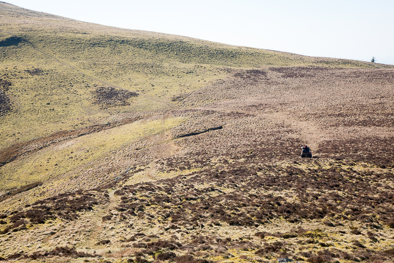
| 12.54 As I took the previous panorama I spotted something on the edge of the fell ahead. It turned out to be two farmers and two sheepdogs on a large quad bike. |
 |
||
|---|---|---|
| 12.58 They passed me heading back to the side of Blake Fell. |
 |
||
|---|---|---|
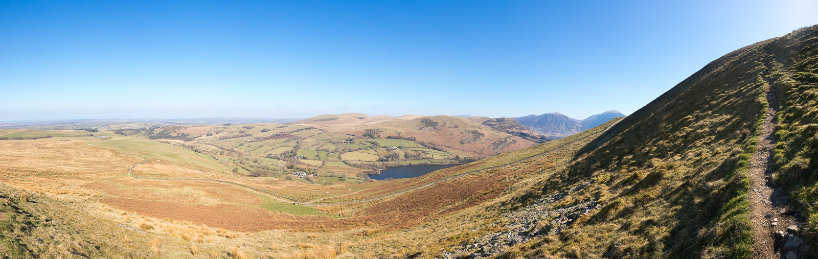
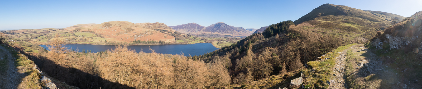
| 13.23 Panorama 1044 Carling Knott north end. |
 |
||
|---|---|---|
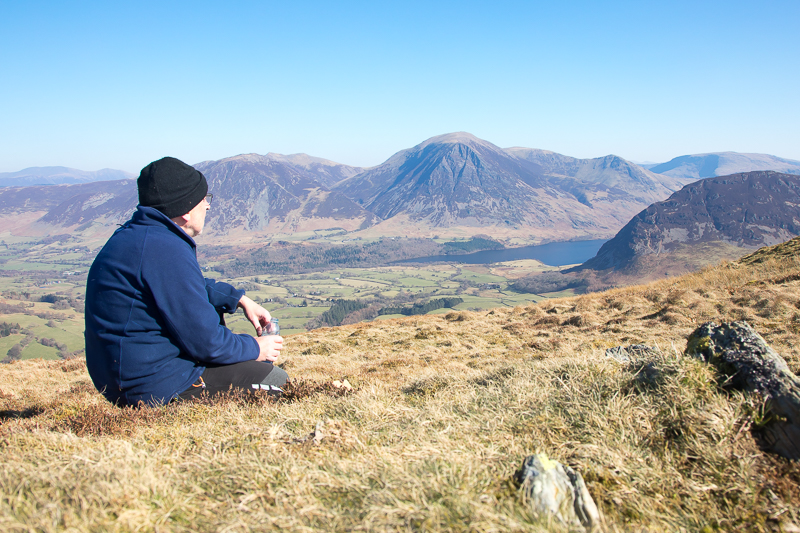
| 13.35 Lunch at the end of Carling Knott. I walked a little past the summit to get a better view of the lakes. | ||
 |
||
| 13.53 Heading down the west side of Carling Knott. I had scoped out a path from the other side earlier but never managed to find it. | ||
 |
||
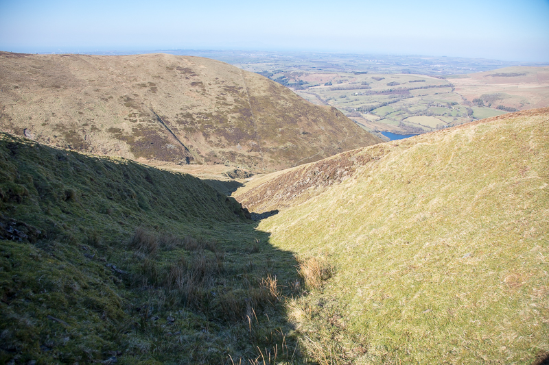
| 13.57 So instead I walked down this small groove which started out easy enough..... | ||
 |
||
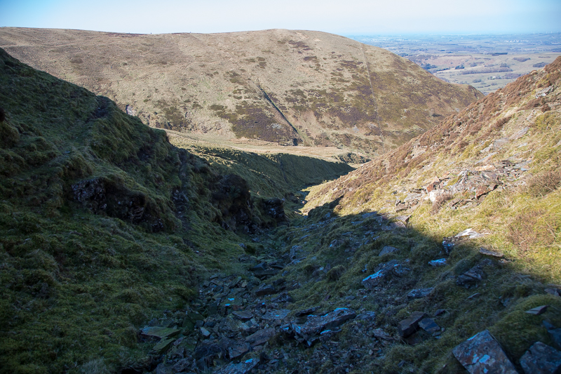
| 14.00 but soon became rockier and steeper. I changed sides several times . ... |
 |
||
|---|---|---|
| 14.20 and eventually came out at the bottom and joined up with a path. | ||
 |
||
| 14.30 and joined the main path that loops around the north side of Burnbank Fell. | ||
 |
||
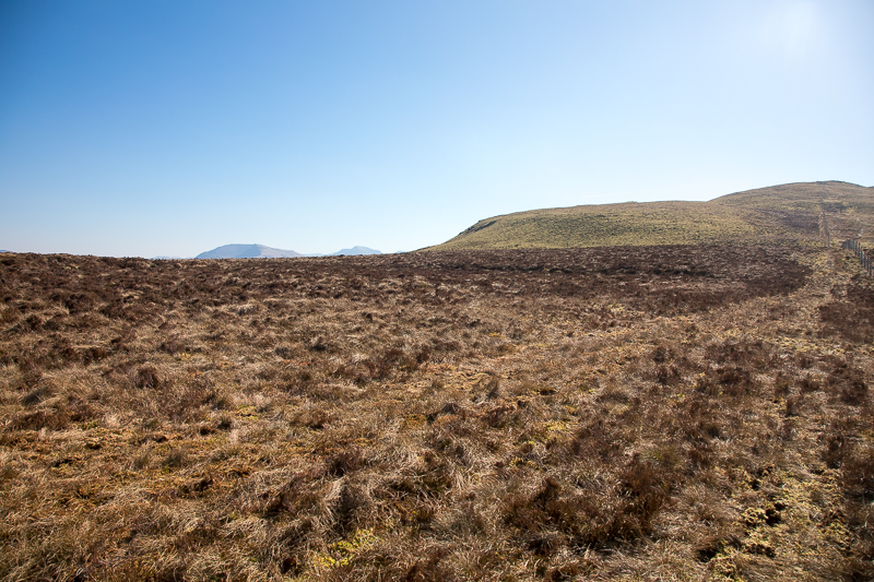
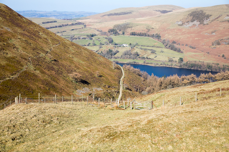
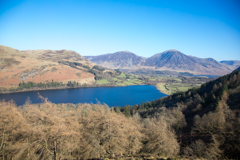
| 14.38 Loweswater and Crummock Water. |
|
||
|---|---|---|
| 14.40 Panorama 1045 Back on the main path. The small ravine I came down is just visible on the extreme right as a dark line running up the fell. |
 |
||
|---|---|---|
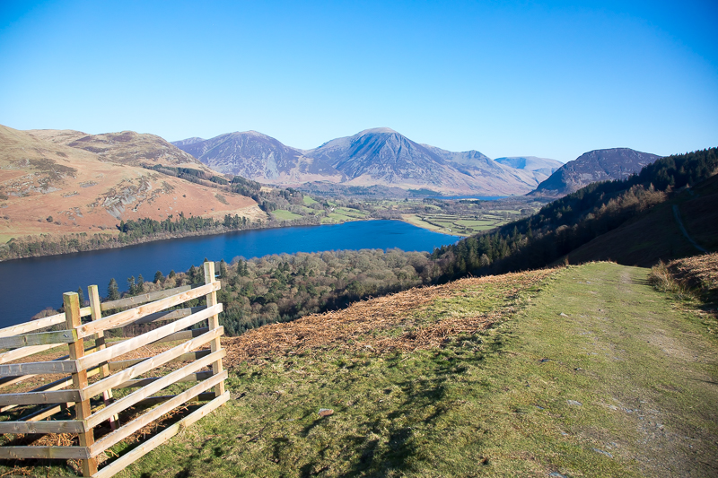
| 14.43 Famous bench with a view. |
 |
||
|---|---|---|
| 14.49 Path rises slightly as I near the point where I left it earlier. |
 |
||
|---|---|---|
| 14.58 Near the junction point of my loop with just a short walk back to the road. | ||
|
|
 |
|---|