|
|
Walk 21 - Blake Fell - 24th July 2018 |
||||
Wainwright's Walking Guide to the Lake District Fells - Book 7 The Western Fells |
||||
#38 Gavel Fell 1726 ft |
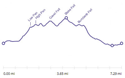 |
Distance |
7.3 miles |
|
Time |
5.5 hrs |
|||
Lowest Point |
550 ft |
|||
Highest Point |
1880 ft |
|||
Total Ascent |
2033 ft |
|||
Walk Rating - moderate |
||||
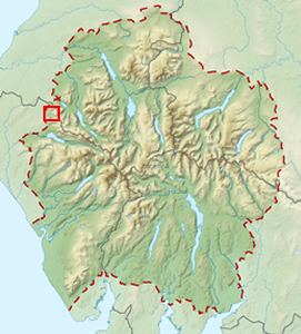 |
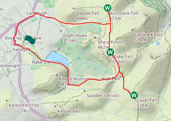
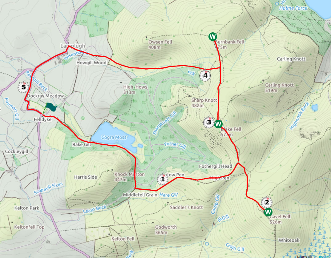
Mini Route Map Go to walk start
|
 |
|---|
 |
||
|---|---|---|
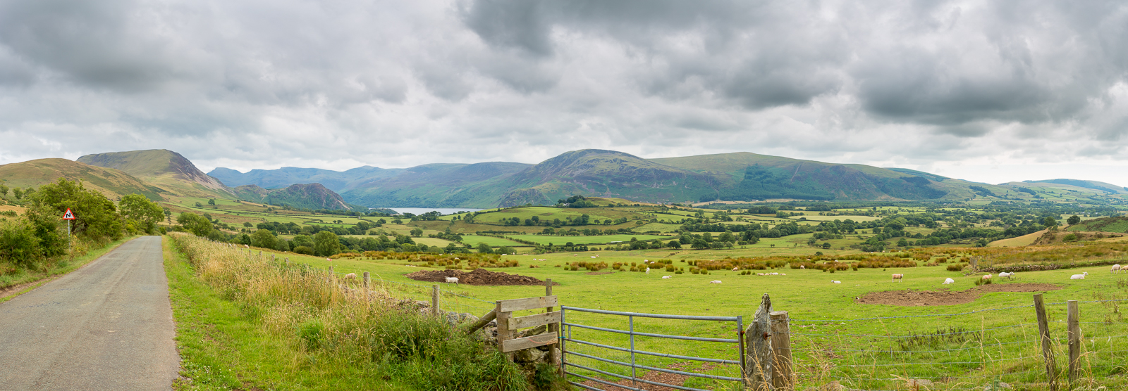
| 15.44 Panorama 199 Driving across from Croasdale we stopped for this view over Ennerdale |
 |
||
|---|---|---|
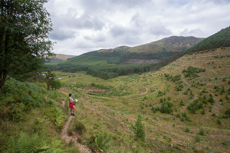
| 16.30 We started at the car park near Cogra Moss and walked along the edge of the lake and up the side of the valley. |
 |
||
|---|---|---|
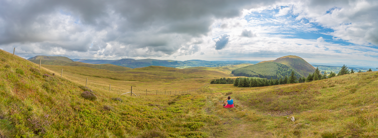
| 17.05 Panorama 200 Climbing Low Pen with views of Great Borne on the left and Knock Murton on the right |
 |
||
|---|---|---|
| 17.33 Climbing High Pen with Knock Murton in the background. | ||
 |
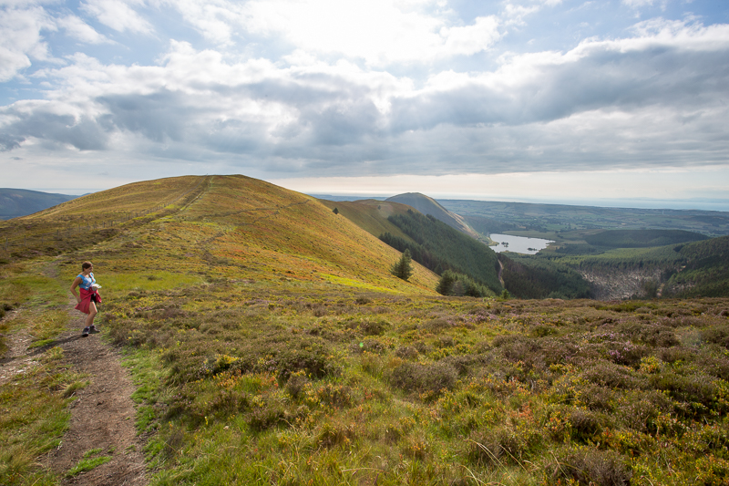
||
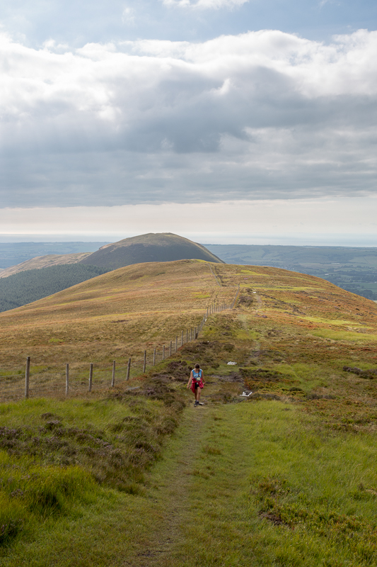
| 17.39 At the corner ahead we split up for a while and I turned right for Gavel Fell. Grasmoor in the background. | ||
 |
||
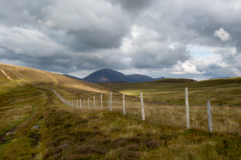
| 17.41 Lookin back at Cogra Moss, Knock Murton and the Pens. | ||
 |
||
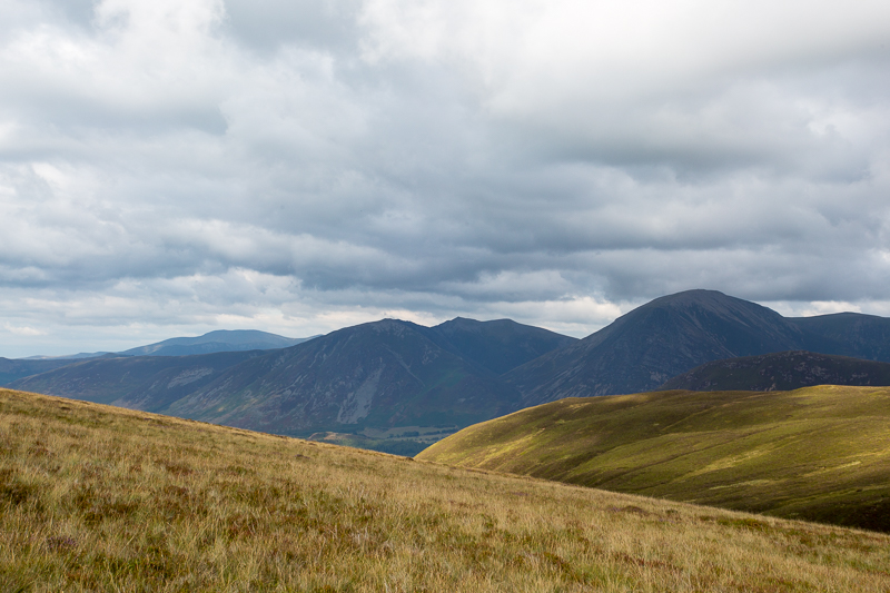
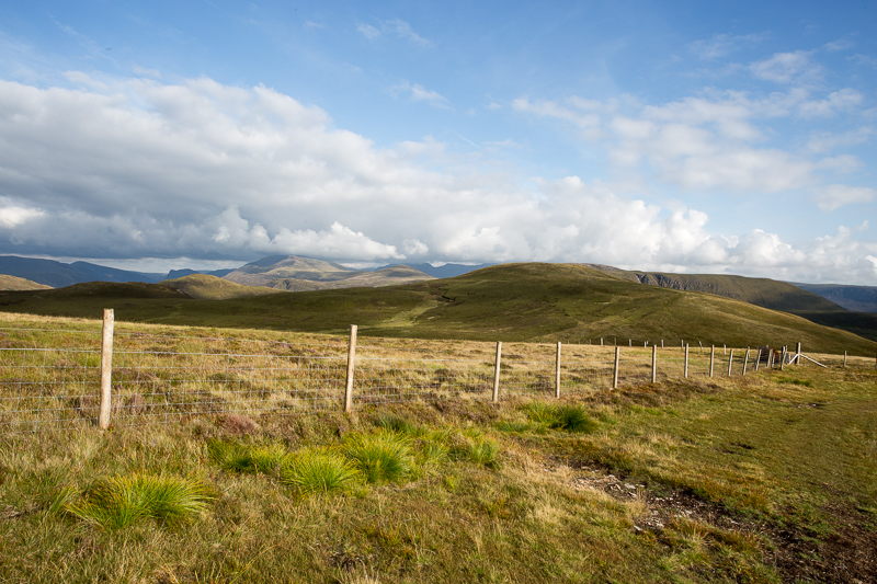
| 17.46 Walking across to Gavel Fell with views of Whiteside and Grasmoor. | ||
 |
||
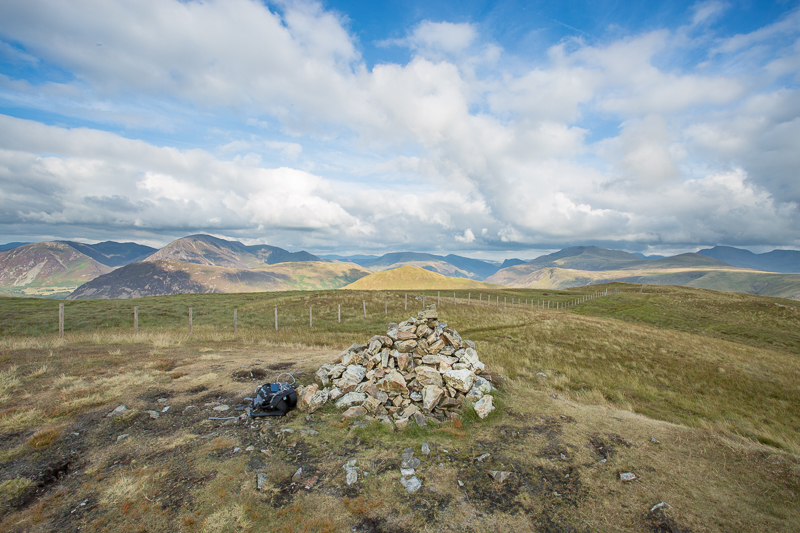
| 18.09 Gavel Fell summit. |
 |
||
|---|---|---|
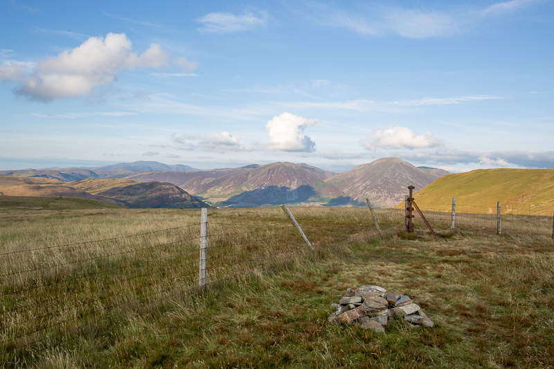
| 18.10 Panorama 201 Gavel Fell summit. |
 |
||
|---|---|---|
| 18.36 Now returned to the main path, looking back at Gavel Fell. | ||
 |
||
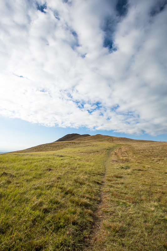
| 18.36 Climbing up Blake Fell. |
 |
||
|---|---|---|
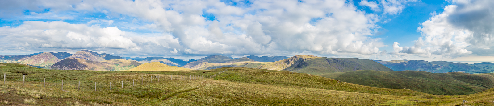
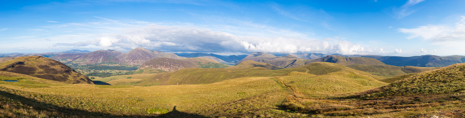
| 18.50 Panorama 202 Blake Fell summit. |
The view inland, comprising a splendid array of mountains, is excellent; seawards, it extends uninterrupted far across West Cumbria to the Scottish hills. |
|||||
Alfred Wainwright - The Western Fells. Blake Fell . |
|||||
 |
||
|---|---|---|
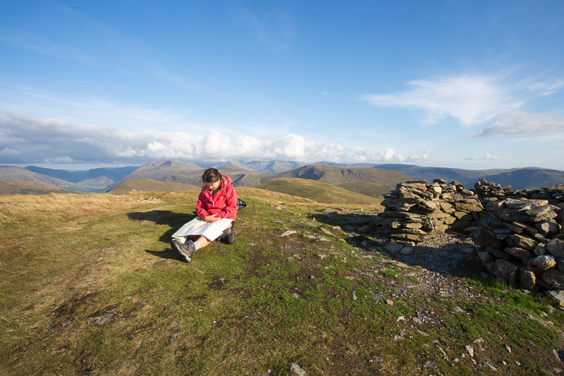
| 19.00 Blake Fell summit. | ||
 |
||
| 19.38 Burnbank Fell summit. | ||
 |
||
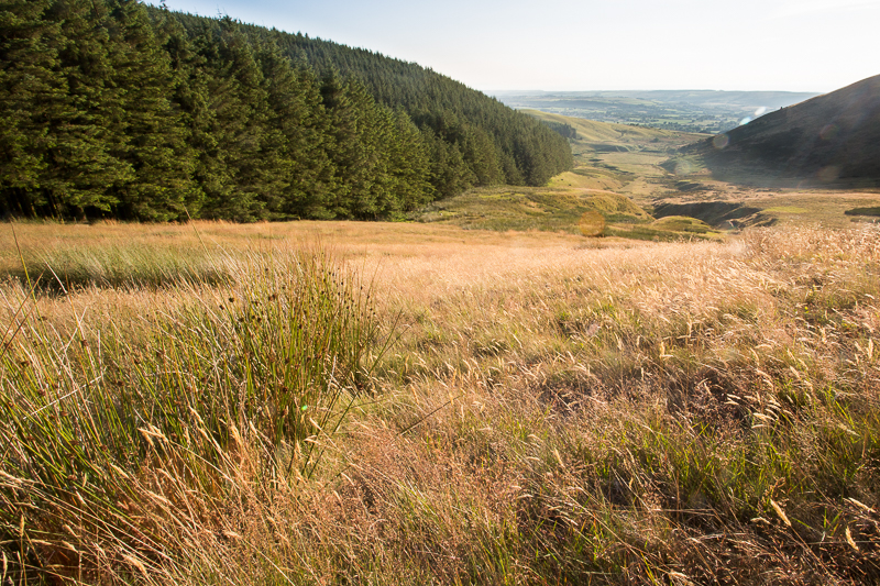
| 20.00 Looking down Wisenholme Beck with Owsen Fell on the right. | ||
 |
||
| 20.27 | ||
 |
||
| 20.33 The last bit of the track belongs to the farm. We turned left in Lamplugh and walked back along the road to the car park. | ||
|
|
 |
|---|