Walk 22 - Mellbreak - 25th July 2018 |
||||
Wainwright's Walking Guide to the Lake District Fells - Book 7 The Western Fells |
||||
#41 Mellbreak 1680 ft |
 |
Distance |
6 miles |
|
Time |
3.5 hrs |
|||
Lowest Point |
360 ft |
|||
Highest Point |
1680 ft |
|||
Total Ascent |
1796 ft |
|||
Walk Rating - easy |
||||
 |
Mini Route Map Go to walk start
|
 |
|---|
 |
||
|---|---|---|
| About 10pm I parked near the Kirkstile Inn. | ||
 |
||
| About 10.20 Leaving the track to pass through a small wood before reaching the fell. (The first two pictures were actually taken on the way back.) | ||
 |
||
| 11.42 I walked along the track on the west side of Mellbreak and up the side of the fell about half way along. Then turned left and walked along to the northern summit. |
 |
||
|---|---|---|
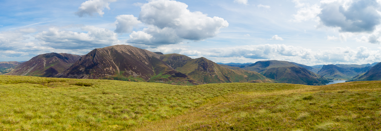
| 11.43 Panorama 203 Mellbreak northern end |
 |
||
|---|---|---|
| 11.45 Rannerdale from the northern end of Mellbreak. | ||
 |
||
| 12.03 Looking along the length of Mellbreak from south to north. |
 |
||
|---|---|---|
| 12.07 Panorama 204 Mellbreak southern end looking east |
 |
||
|---|---|---|
| 12.12 Looking along Buttermere to Fleetwith Pike |
 |
||
| 12.13 Panorama 205 Mellbreak southern end looking west |
 |
||
| 12.18 A sublime view of Crummock Water and Buttermere. | ||
 |
||
| 12.36 Descending the southern end of Mellbreak | ||
 |
||
| 12.38 | ||
 |
||
| 13.06 Red Pike as I turn right at the bottom of Mellbreak to head back along the path to the Kirkstile Inn. | ||
 |
||
| 13.40 Back on the track below Mellbreak's northern end. | ||
 |
||
| 13.43 Looking across the valley to Grasmoor. | ||
 |
|---|