|
|
Walk 75 - High Raise - 17th September 2022 |
||||
Wainwright's Walking Guide to the Lake District Fells - Book 2 The Far Eastern Fells |
||||
#171 Brock Crags 1841ft |
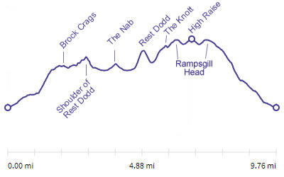 |
Distance |
9.8 miles |
|
Time |
9 hrs |
|||
Lowest Point |
586 ft |
|||
Highest Point |
2627 ft |
|||
Total Ascent |
3536 ft |
|||
Walk Rating - tough |
||||
 |
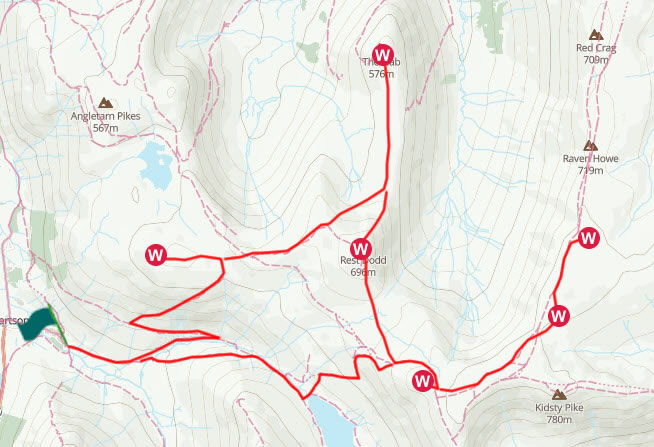
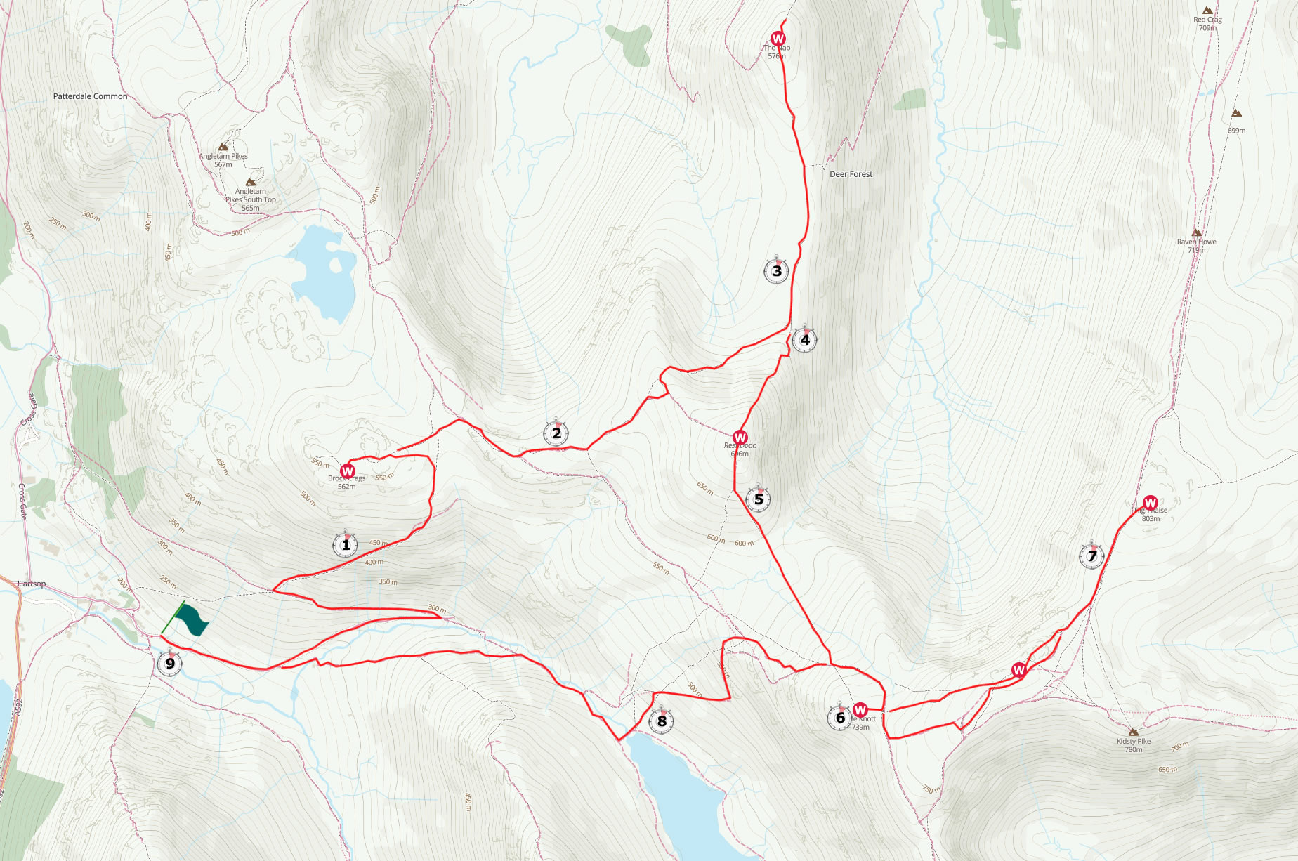
Mini Route Map Go to walk start
|
 |
|---|
 |
||
|---|---|---|
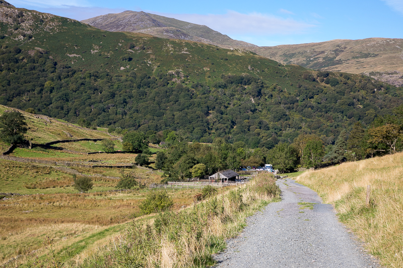
| 10.27 Looking back at the car park at Hartsop. We had arrived just before 10 but already the car park was nearly fully, mind you it is a Saturday and with promising weather. |
 |
||
|---|---|---|
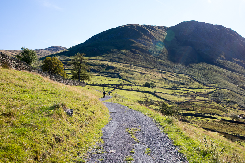
| 10.27 A good path to start with. Gray Crag ahead of us. |
 |
||
|---|---|---|
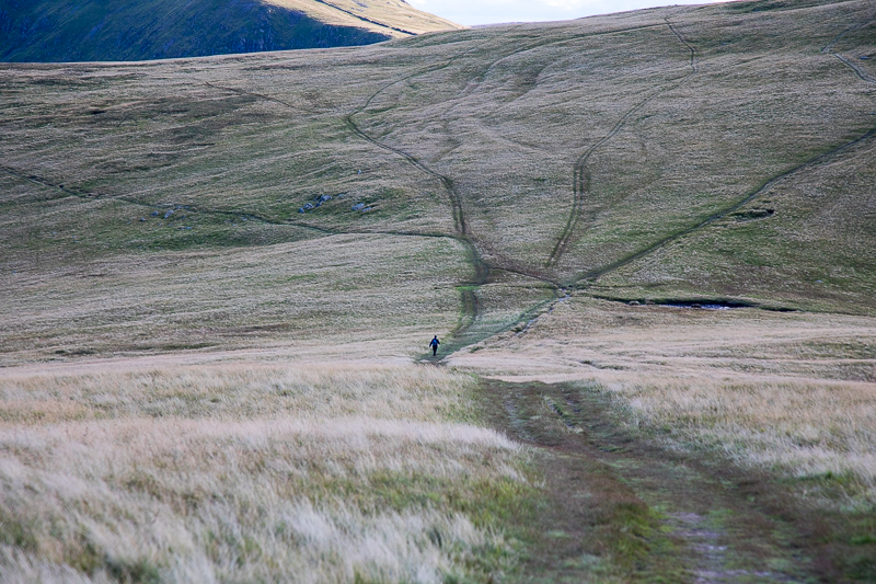
| 11.02 We reached the filter house on Hayeswater Gill and then the path takes a hairpin turn and goes up the fell in a couple of big zig zags. |
 |
||
|---|---|---|
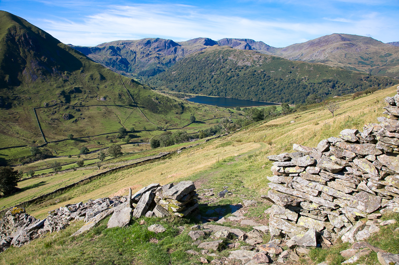
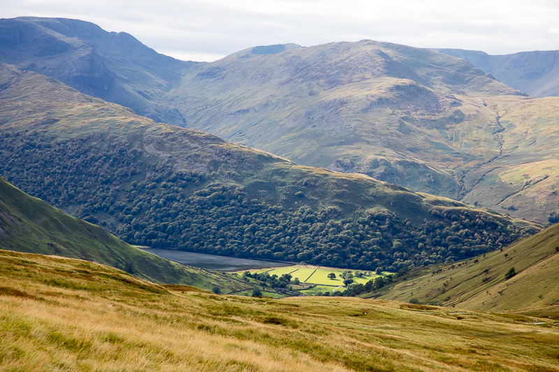
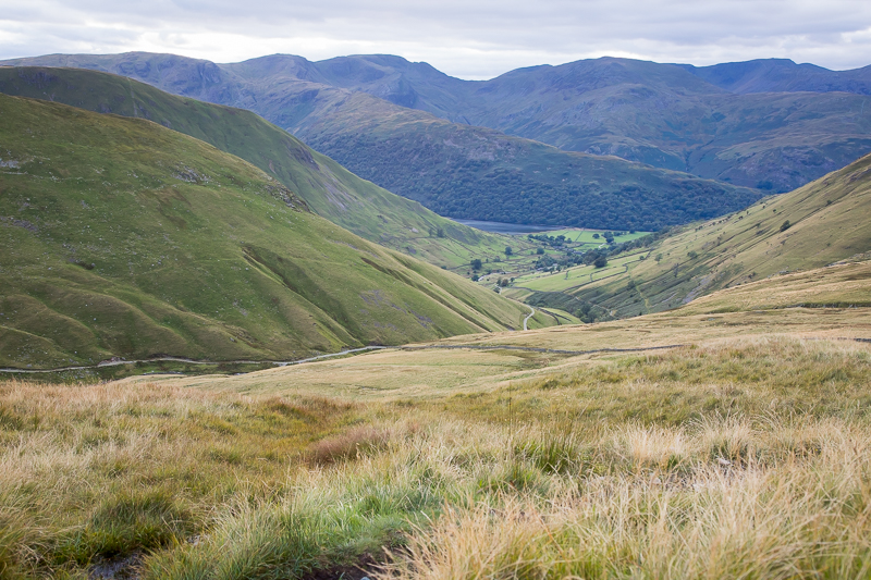
| 11.29 Looking across to Hayeswater. |
 |
||
|---|---|---|
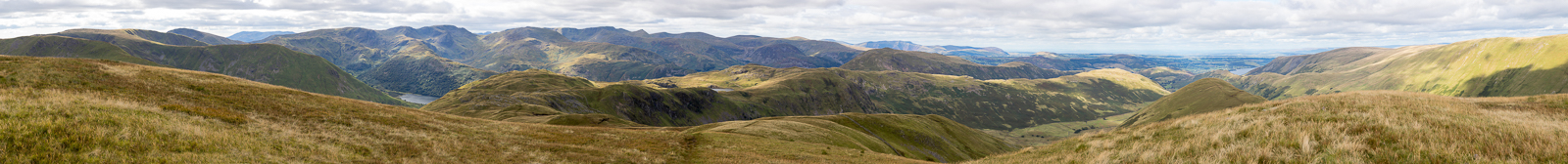
| 12.04 Panorama 739 Brock Crags summit (Wainwright #171 1841 ft) |
 |
||
|---|---|---|
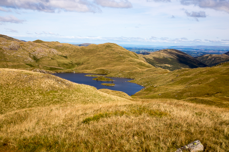
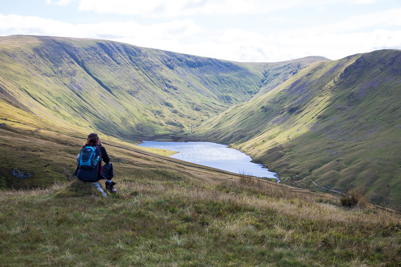
| 12.04 Angle Tarn. |
 |
||
|---|---|---|
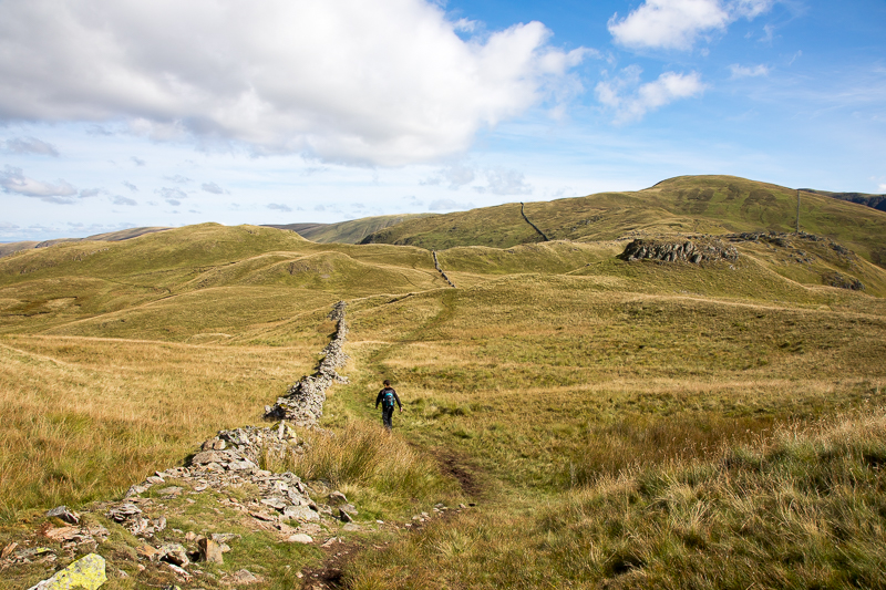
| 12.13 Crossing from Brock Crags to Satura Crag. |
 |
||
|---|---|---|
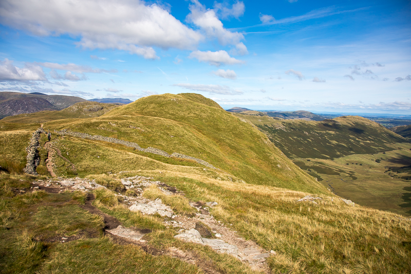
| 12.25 Various high points on Satura Crag. |
 |
||
|---|---|---|
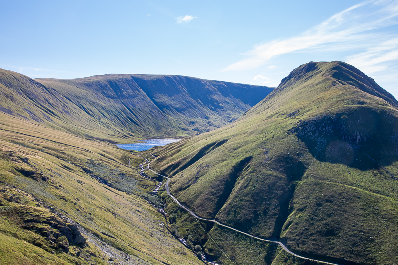
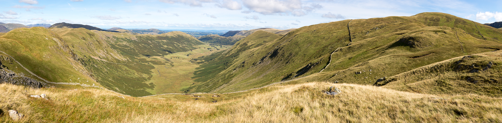
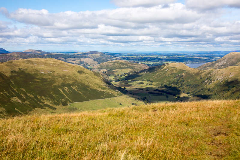
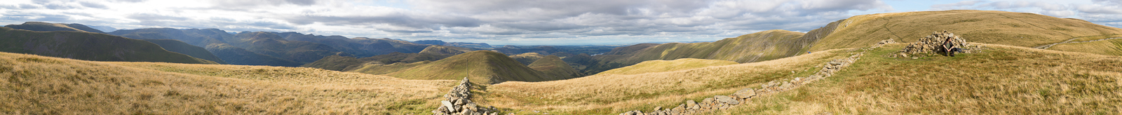
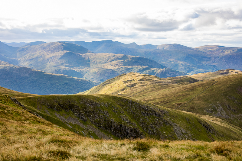
| 12.33 Panorama 740 Satura Crags looking down into Bannerdale |
 |
||
|---|---|---|
| 12.49 Hayeswater. |
 |
||
|---|---|---|
| 13.12 Crossing the shoulder of Rest Dodd on the way to The Nab. |
 |
||
|---|---|---|
| 13.52 Panorama 741 The Nab summit (Wainwright #172 1890 ft) |
 |
||
|---|---|---|
| 14.01 Panorama 742 A little north from the summit and the view over Martindale is better. |
 |
||
|---|---|---|
| 14.02 On the summit of The Nab. |
 |
||
|---|---|---|
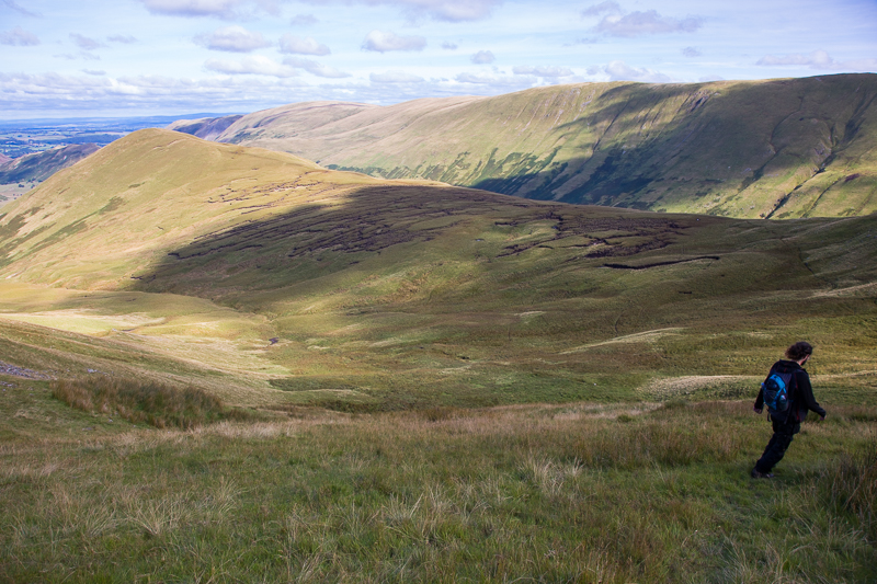
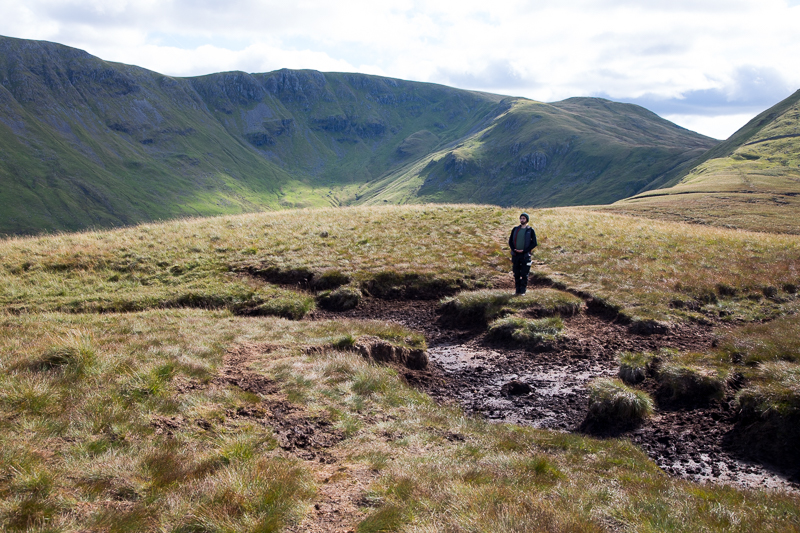
| 14.20 The peat hags between The Nab and Rest Dodd were quite manageable after a farily dry spell. |
 |
||
|---|---|---|
| 14.43 The red deer on the far side of the valley below High Raise. |
 |
||
|---|---|---|
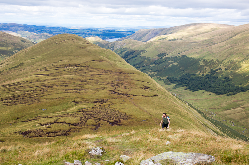
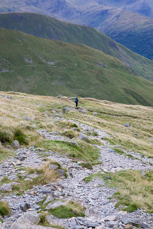
| 14.53 Climbing the steeper side of Rest Dodd was not too bad. |
 |
||
|---|---|---|
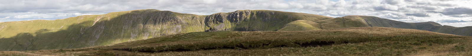
| 15.17 Panorama 743 Rest Dodd summit (Wainwright #173 2283 ft) |
 |
||
|---|---|---|
| 15.18 Rest Dodd summit actually has two or three tops. Here I am on one while Nick is on another. |
 |
||
|---|---|---|
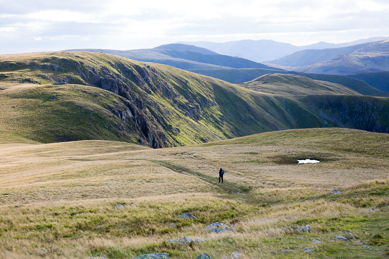
| 15.30 Panorama 744 Descending Rest Dodd with the wall straight up to The Knott in view. |
 |
||
|---|---|---|
| 15.59 Looking back at Rest Dodd as we follow the wall up to The Knott. |
 |
||
|---|---|---|
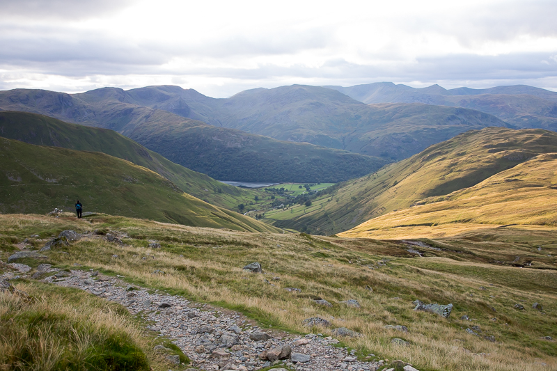
| 16.01 Brotherswater, Hartsop above How and Deepdale. |
 |
||
|---|---|---|
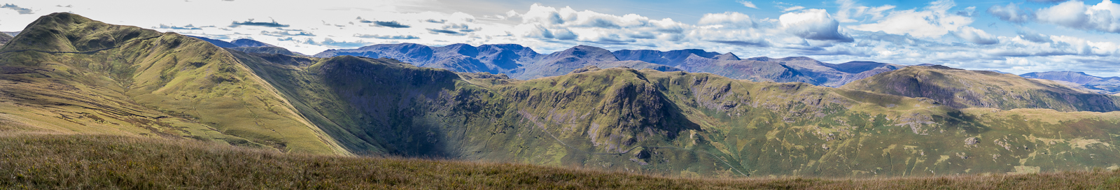
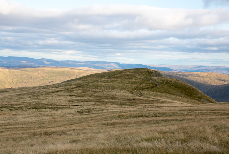
| 16.33 Panorama 745 The Knott summit (Wainwright #174 2425 ft). We had walked most of the way from Rest Dodd by following the wall but did the last bit by following the path around the northern side and ascending it from the High Street side. A large family and an outward bound group arrived on the summit of The Knott just after we did so I waited until they all dropped out of sight along the line of the wall before taking the photos. |
 |
||
|---|---|---|
| 16.35 Looking north from the summit of The Knott. |
 |
||
|---|---|---|
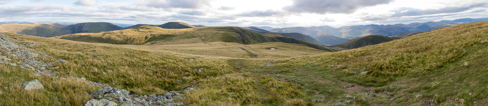
| 16.54 Panorama 746 The wind picked up considerably as we reaching the summit of Rampsgill Head. |
 |
||
|---|---|---|
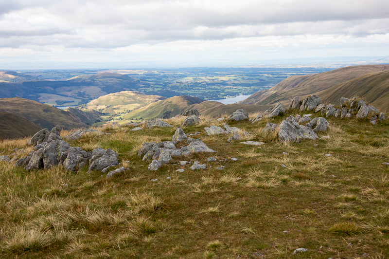
| 16.57 Panorama 747 Walking closer to the edge for a better view towards Ullswater and Martindale. |
 |
||
|---|---|---|
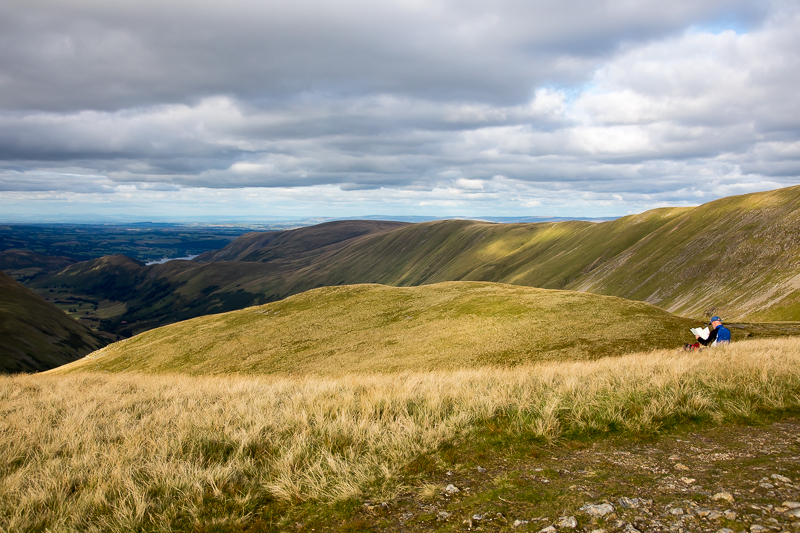
| 16.58 Looking west from Rampsgill Head. |
 |
||
|---|---|---|
| 16.59 Looking north from Rampsgill Head. |
 |
||
|---|---|---|
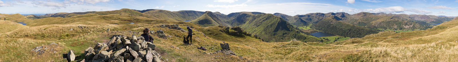
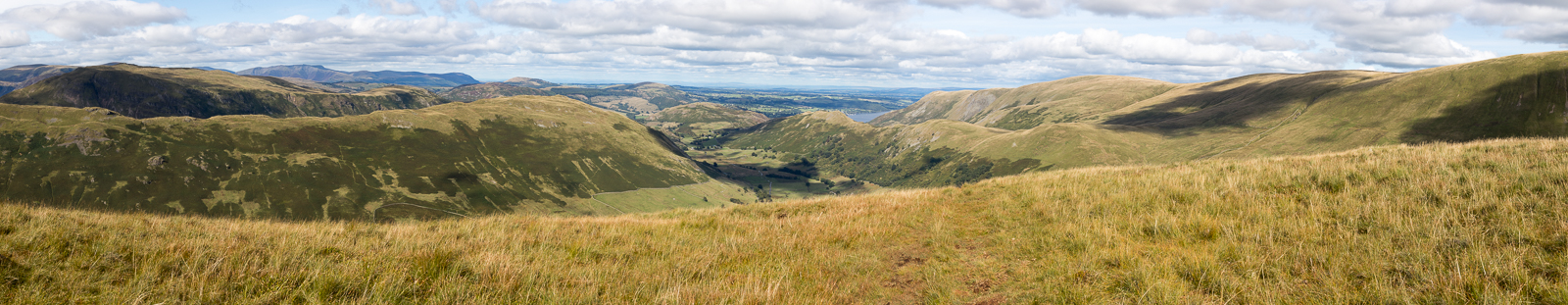
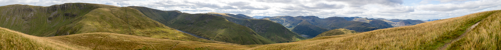
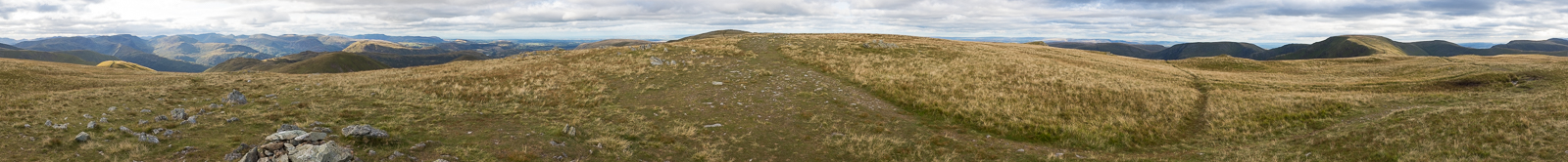
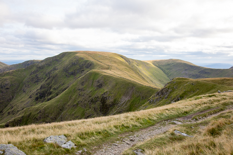
| 17.16 Panorama 748 High Raise summit, the highest point of today's walk and the turning point for home. (Wainwright #176 2631 ft.) |
 |
||
|---|---|---|
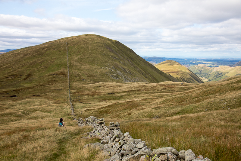
| 17.32 Descending from High Raise. |
 |
||
|---|---|---|
| 17.34 Descending from High Raise and a tiny piece of Brotherswater is visible. |
 |
||
|---|---|---|
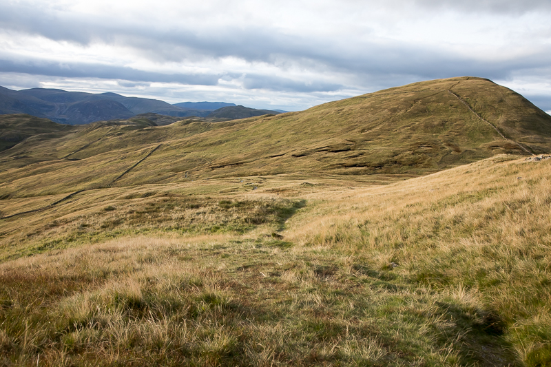
| 17.35 A choice of paths as we return to Rampsgill Head. |
 |
||
|---|---|---|
| 17.45 Looking across to Kidsty Pike from Rampsgill Head. |
 |
||
|---|---|---|
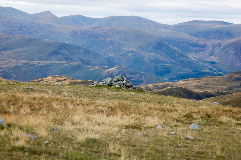
| 17.48 A cairn lines up with Arnison Crag |
 |
||
|---|---|---|
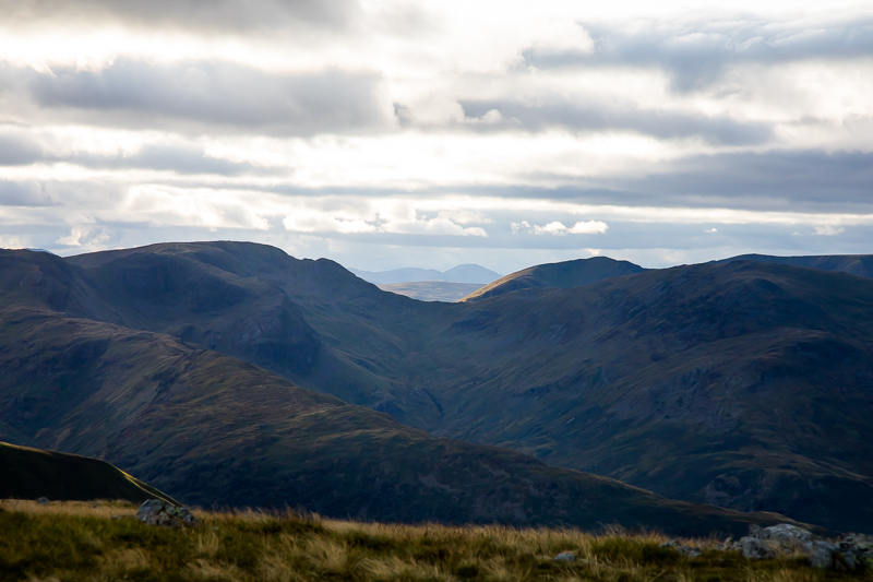
| 17.48 We had seen a number of different western fells through Deepdale Hause today. Here from Rampsgill Head we can see Pillar and Scoat Fell |
 |
||
|---|---|---|
| 17.52 High Street and the path we walked along in 2014. |
 |
||
|---|---|---|
| 18.06 Descending the main path to Hayeswater. |
 |
||
|---|---|---|
| 18.07 |
 |
||
|---|---|---|
| 18.12 Rest Dodd. |
 |
||
|---|---|---|
| 18.19 |
 |
||
|---|---|---|
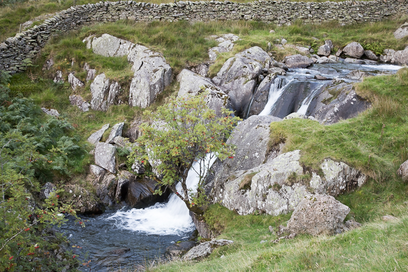
| 18.43 Hayeswater Gill. |
|
|
 |
|---|