Walk 37 - Langdale Pikes - 16th April 2019 |
||||
Wainwright's Walking Guide to the Lake District Fells - Book 3 The Central Fells |
||||
#73 Blea Rigg 1775 ft |
 |
Distance |
7.75 miles |
|
Time |
8 hrs |
|||
Lowest Point |
309 ft |
|||
Highest Point |
2500 ft |
|||
Total Ascent |
3234 ft |
|||
Walk Rating - tough, long and varied terrain |
||||
 |
Mini Route Map Go to walk start
|
 |
|---|
 |
||
|---|---|---|
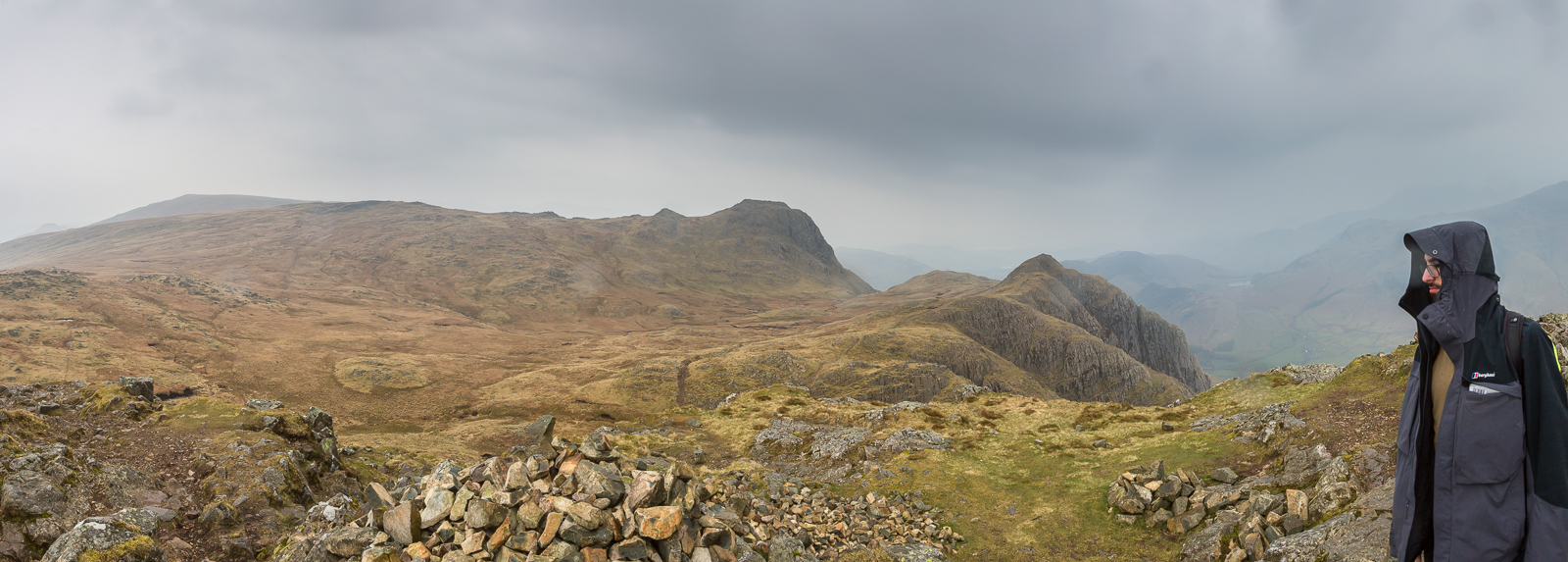
| 13.36 Panorama 264 Blea Rigg Summit. | ||
 |
||
| 14.39 Panorama 265 Approaching Sergeant Man. | ||
 |
||
| 14.39 Panorama 266 Summit of Sergeant Man looking west toward High Raise. |
 |
||
|---|---|---|
| 17.26 High Raise summit. Our highest point of the day. A fairly undramatic summit but new views into Langstrath Valley. |
 |
||
|---|---|---|
| 12.22 Panorama 267 High Raise summit | ||
 |
||
| 14.39 Panorama 268 Summit of Thunacarr Knott | ||
 |
||
| 14.39 Panorama 269 Summit of Pavey Ark. | ||
 |
||
| 14.39 Panorama 270 Summit of Harrison Stickle. | ||
 |
||
| 14.39 Panorama 270 Summit of Pike O'Stickle.. |
 |
||
|---|---|---|
| 17.26 Looking up at the ascent of Loft Crag. | ||
 |
||
| 17.27 Looking back at Pike O'Stickle in the rain. |
 |
||
|---|---|---|
| 13.36 Panorama 264 Loft Crag summit, our final Wainwright of the day.. | ||
 |
||
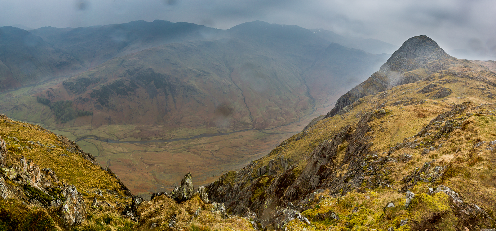
| 14.39 Looking down into Mickleden from Loft Crag. Tomorrow morning we would be walking along this valley in glorious sunshine. | ||
 |
||
| 14.39 Looking back at Harrison Stickle from Loft Crag. |
 |
|---|