|
|
Walk 59 - Bowscale Fell - 4th August 2021 |
||||
Wainwright's Walking Guide to the Lake District Fells - Book 5 The Northern Fells |
||||
#140 Bannerdale Crags 2241 ft |
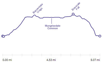 |
Distance |
9 miles |
|
Time |
7 hrs |
|||
Lowest Point |
729 ft |
|||
Highest Point |
2303 ft |
|||
Total Ascent |
2277 ft |
|||
Walk Rating - moderate |
||||
 |
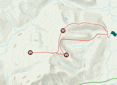
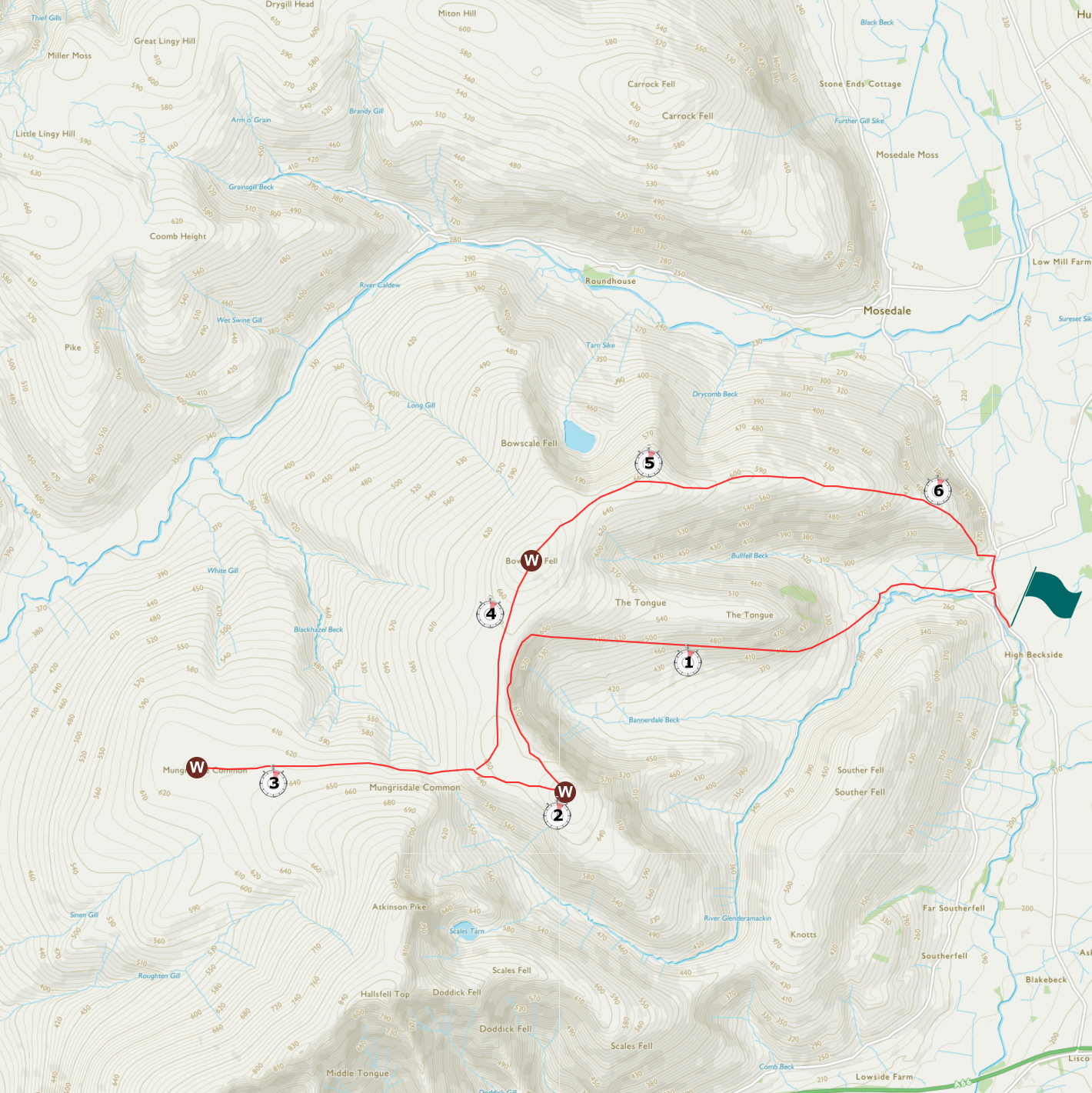
Mini Route Map Go to walk start
|
 |
|---|
 |
||
|---|---|---|
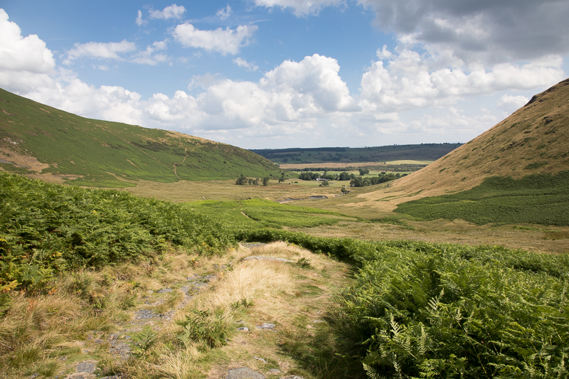
| 12.30 On the path from Mungrisedale village just rounding the end of The Tongue we start to ascend. |
 |
||
|---|---|---|
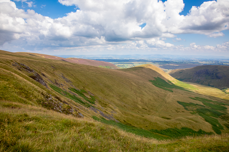
12.33 Looking back towards the village and the edge we will walk down later. |
 |
||
|---|---|---|
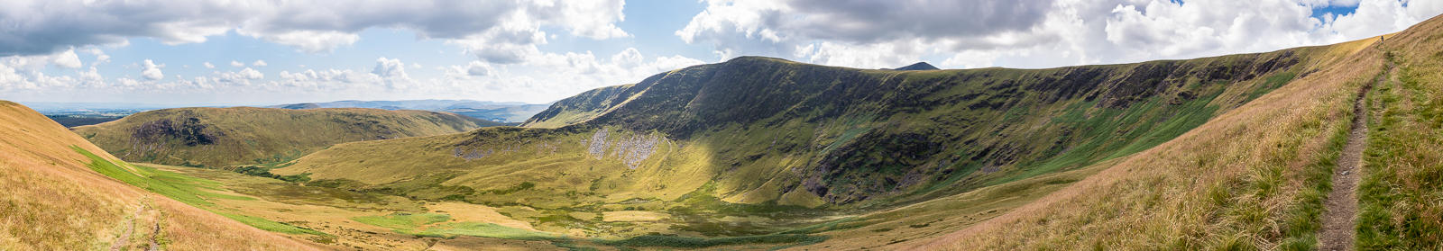
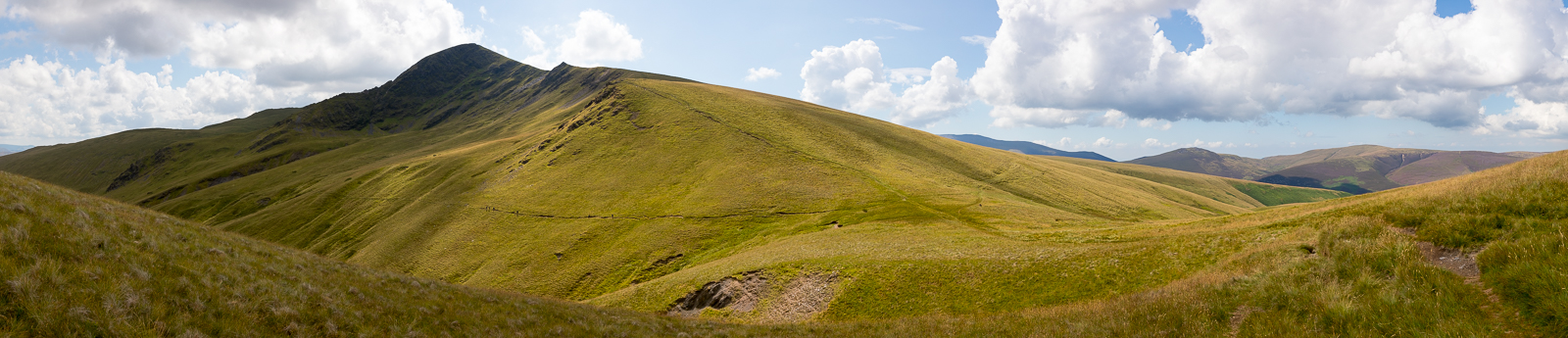
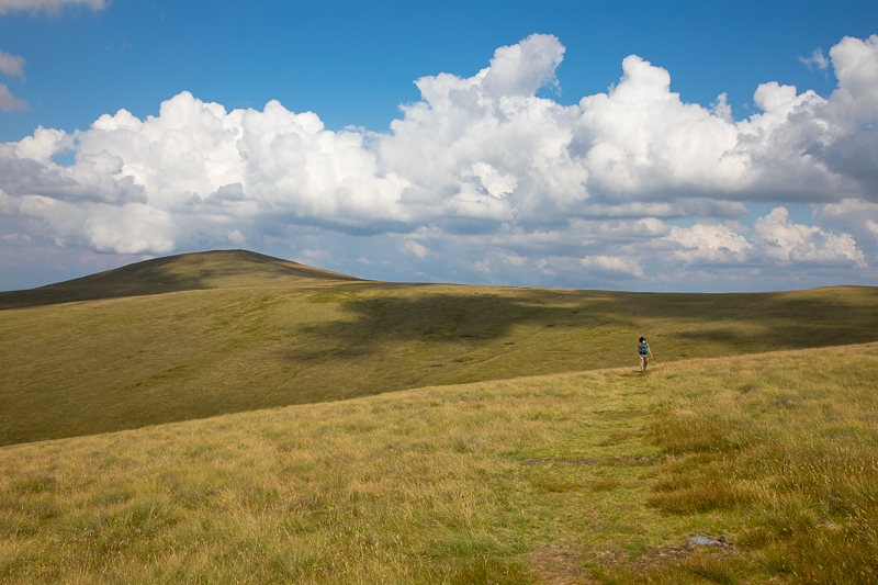
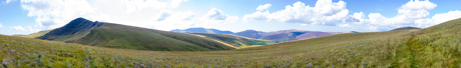
| 13.25 Panorama 539 This long straight made the ascent to the ridge very easy. Just what we needed today as we were both nursing slight injuries. |
This is the least obvious but the easiest route; in fact, the easiest route to any summit over 2000' in Lakeland. |
|||||
Alfred Wainwright - The Northern Fells. Bowscale Fell 6 |
|||||
 |
||
|---|---|---|
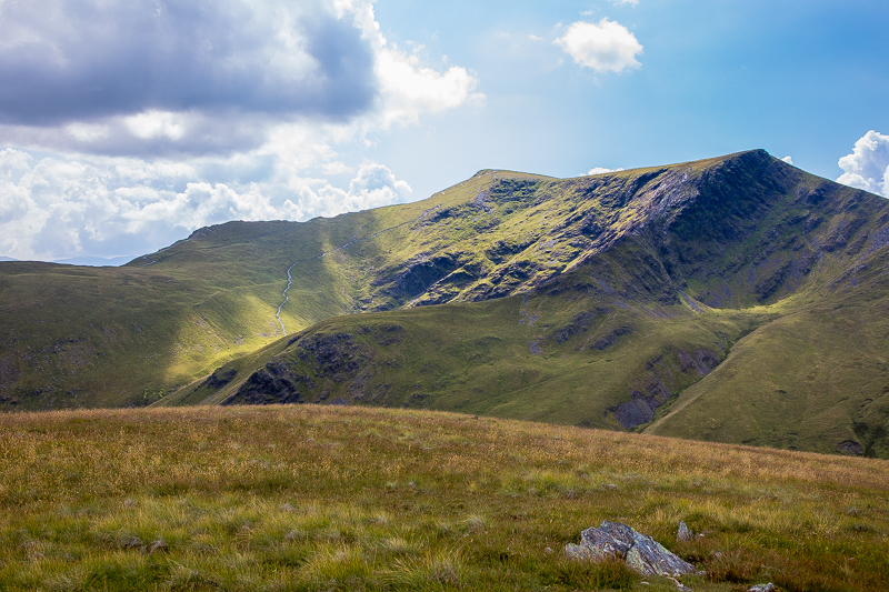
| 13.40 Nearing the top of the path. Patchy cloud had made for even nicer walking. More of Blencathra is showing over the ridge now. |
 |
||
|---|---|---|
| 13.42 Crossing the edge. |
 |
||
|---|---|---|
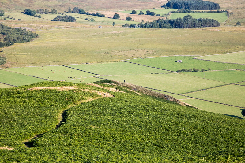
| 13.46 The path we have just come up is visible running down the side of The Tongue. |
 |
||
|---|---|---|
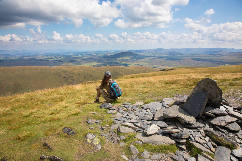
| 14.05 Lunch on Bannerdale Crags summit. |
 |
||
|---|---|---|
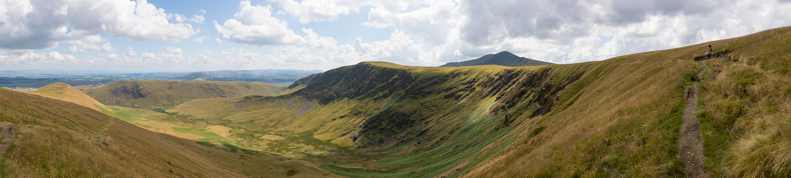
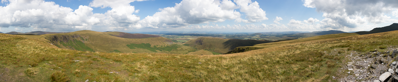
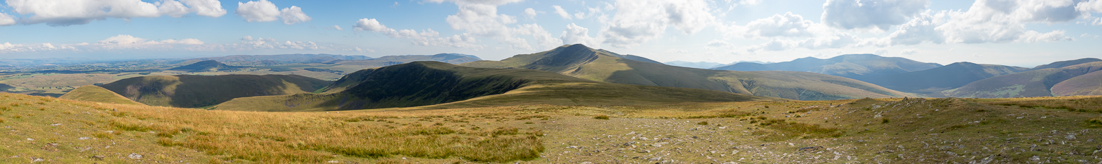
| 14.08 Panorama 540 Bannerdale Crags summit looking east (Wainwright #140 2241ft) |
The view is interesting rather than attractive. It is a surprise to find an unrestricted prospect of the Coniston Fells across the length of Lakeland. |
|||||
Alfred Wainwright - The Northern Fells. Bannerdale Crags 9 |
|||||
 |
||
|---|---|---|
| 14.08 Panorama 541 Bannerdale Crags summit looking west to Blencathra |
 |
||
|---|---|---|
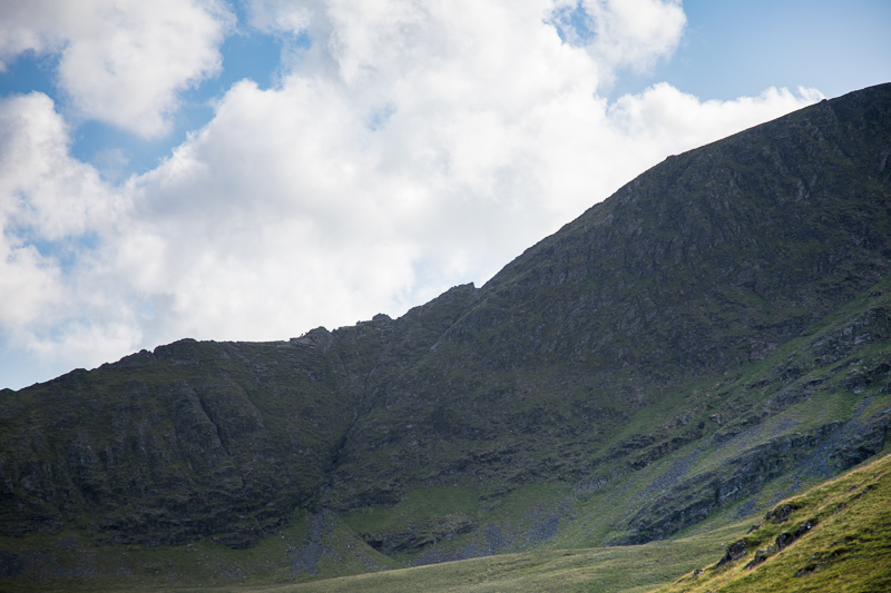
| 14.35 Looking up at Sharp Edge on Blencathra we could hear people talking as they climbed it. |
 |
||
|---|---|---|
| 14.48 Panorama 542 Nearing the junction of paths looking up at Sharp Edge |
 |
||
|---|---|---|
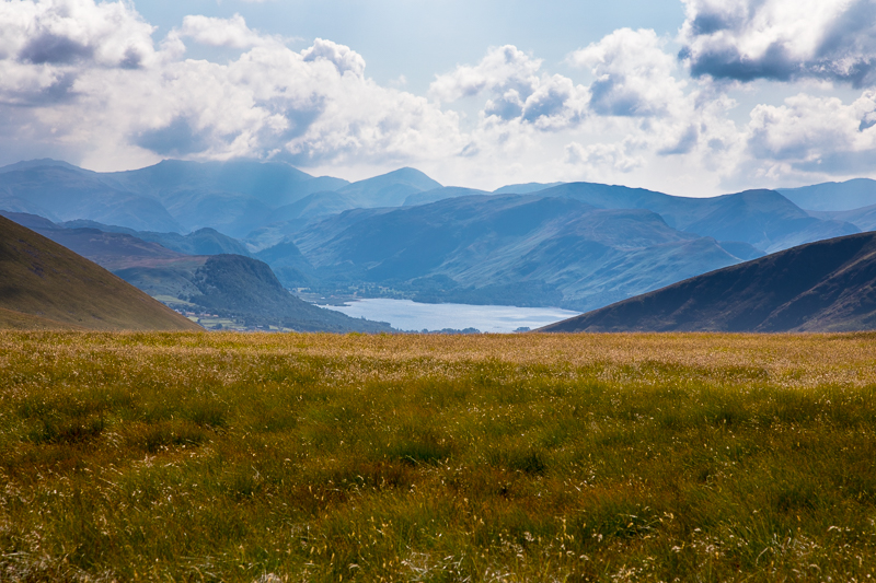
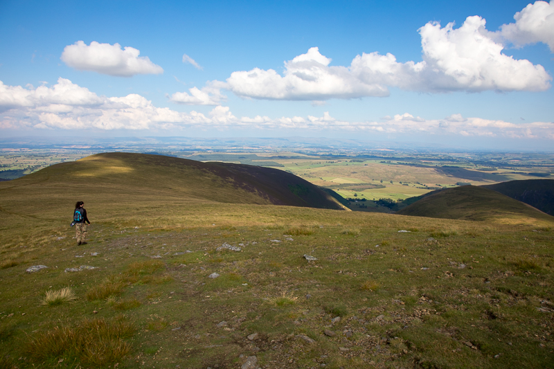
| 15.24 Panorama 543 If I Stood on the summit stones of Mungrisedale Common I could see Derwent Water to the right of Blencathra (Wainwright #141 2077ft) |
 |
||
|---|---|---|
| 15.30 |
 |
||
|---|---|---|
| 15.34 Walking back across Mungrisedale Common. |
 |
||
|---|---|---|
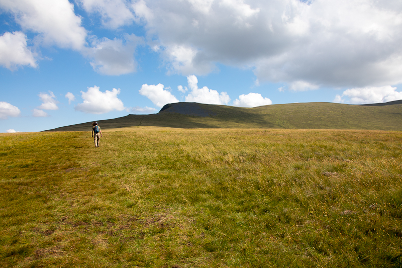
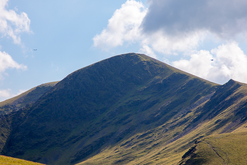
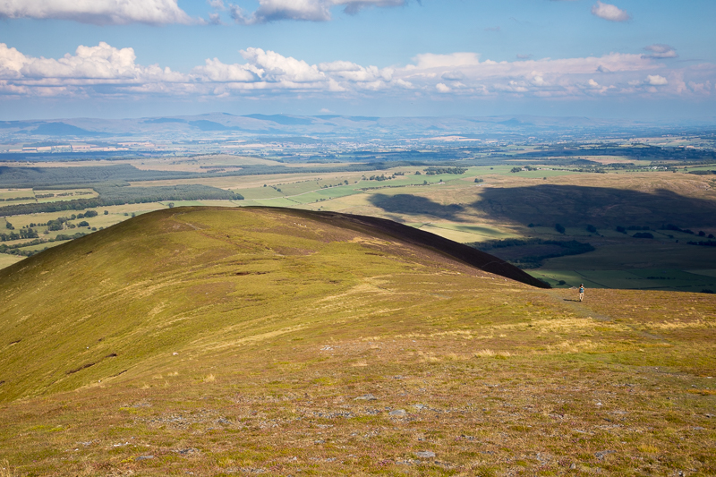
| 15.45 Bowscale Fell in the distance. |
 |
||
|---|---|---|
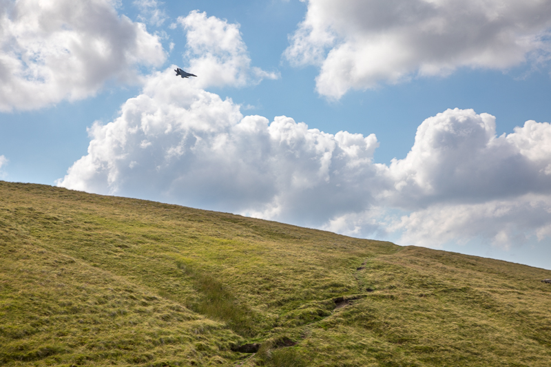
| 15.55 Two F15 jets appeared over Blencathra . . . . |
 |
||
|---|---|---|
| 15.55 . . . . . banked right and disappeared down Mosedale between Bowscale Fell and Carrock Fell. |
 |
||
|---|---|---|
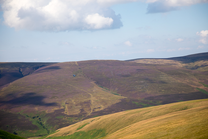
| 16.02 Below Sharp Edge I could see people on the ridge near the bottom. |
 |
||
|---|---|---|
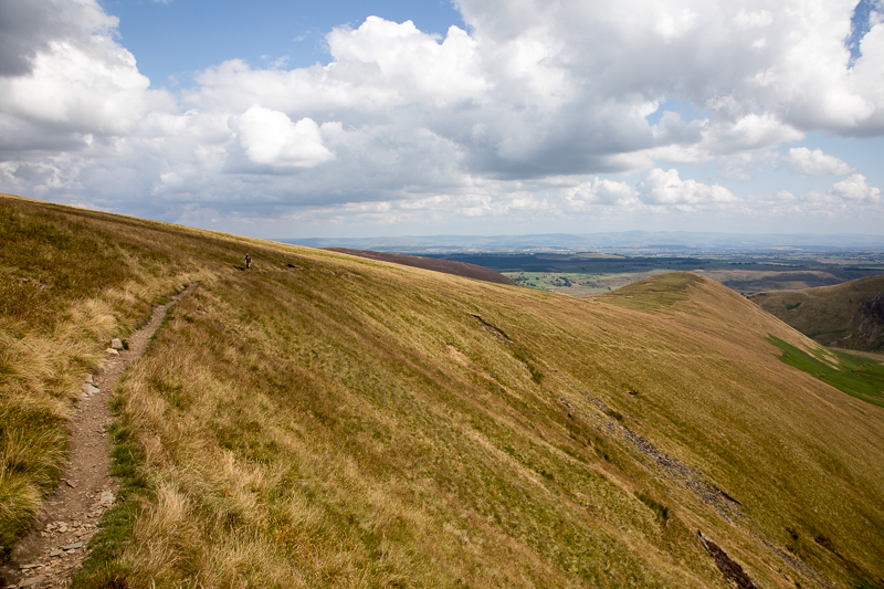
| 16.10 On the path ascending Bowscale Fell. |
 |
||
|---|---|---|
| 16.14 The two jets came back and passed over Blencathra. |
 |
||
|---|---|---|
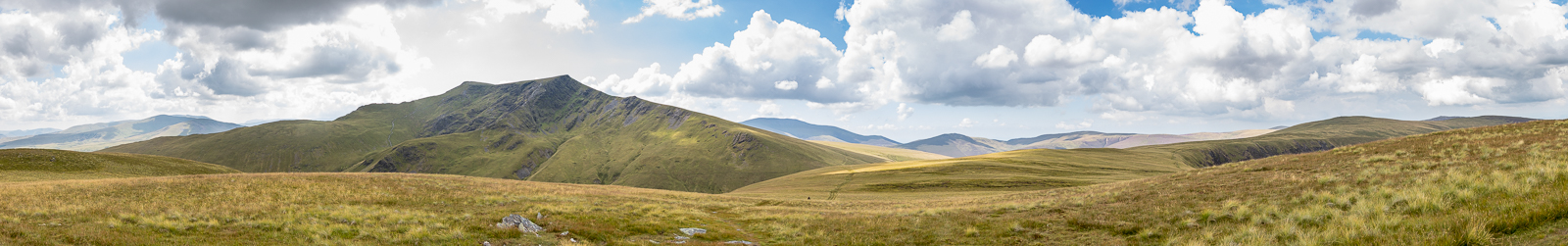
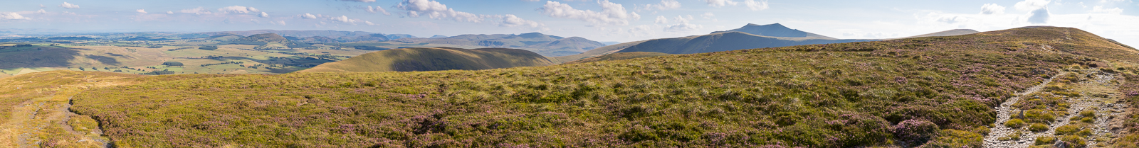
| 16.36 Panorama 544 Bowscale Fell summit looking south (Wainwright #142 2303 ft) |
 |
||
|---|---|---|
| 17.03 Starting down the path along the ridge Mungrisedale village is visible below. |
 |
||
|---|---|---|
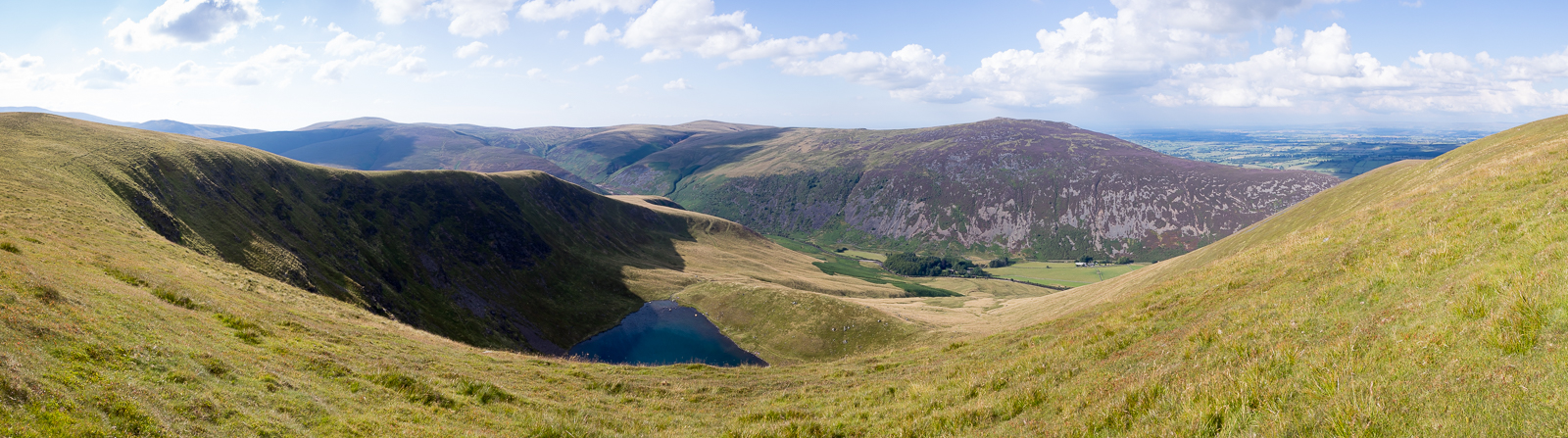
| 17.19 Panorama 545 Looking over Bowscale Tarn to the north. Carrock Fell to the right. |
 |
||
|---|---|---|
| 17.28 Further down the ridge. |
 |
||
|---|---|---|
| 17.49 Looking south with a view of many fells in the Helvellyn and High Street area. |
 |
||
|---|---|---|
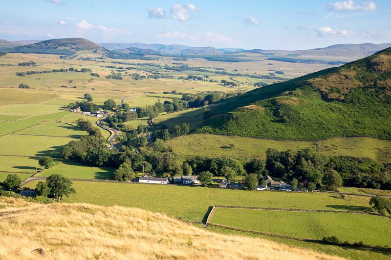
| 18.01 Getting near the steeper part and we could see our car on the road just past the village. |
 |
||
|---|---|---|
| 18.16 |
 |
||
|---|---|---|
| 18.31 Mungrisedale village. |
 |
||
|---|---|---|
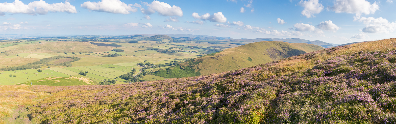
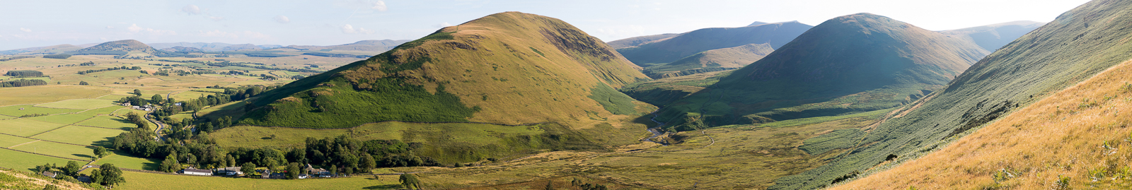
| 18.32 Panorama 546 Looking south over the village with the path we had taken earlier between Souther Fell and The Tongue. Just after this the path plunged down very steeply through a large area of bracken and gorse. We had to crawl on our hands to get down, it was just too steep and loose to stand up. |
|
|
 |
|---|