|
|
Walk 60 - Great End - 28th August 2021 |
||||
Wainwright's Walking Guide to the Lake District Fells - Book 4 The Southern Fells |
||||
#143 Seathwaite Fell 2073 ft |
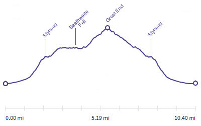 |
Distance |
10 miles |
|
Time |
7 hrs |
|||
Lowest Point |
261 ft |
|||
Highest Point |
2986 ft |
|||
Total Ascent |
3290 ft |
|||
Walk Rating - moderate |
||||
 |
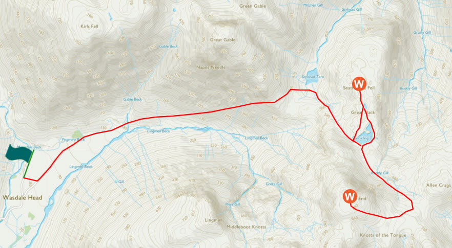
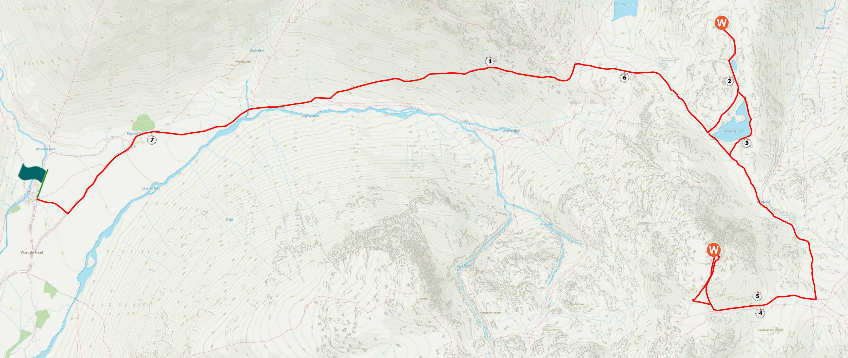
Mini Route Map Go to walk start
|
 |
|---|
 |
||
|---|---|---|
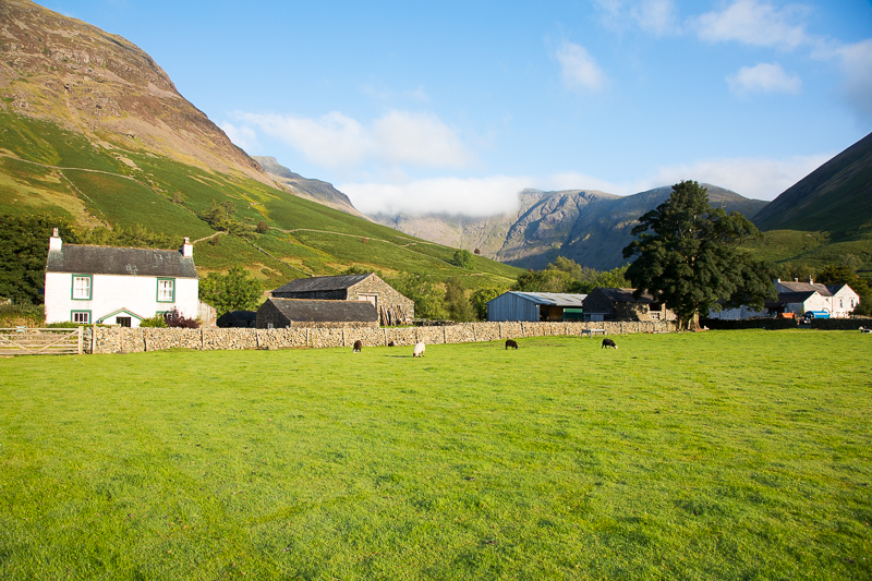
| 8.09 An early morning walk around the field with the weather looking promising. |
 |
||
|---|---|---|
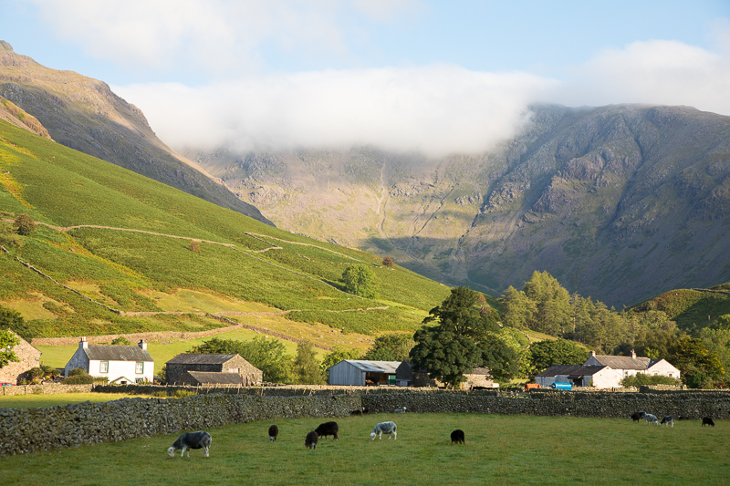
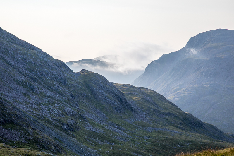
8.18 Pillar was in cloud behind the farm. |
 |
||
|---|---|---|
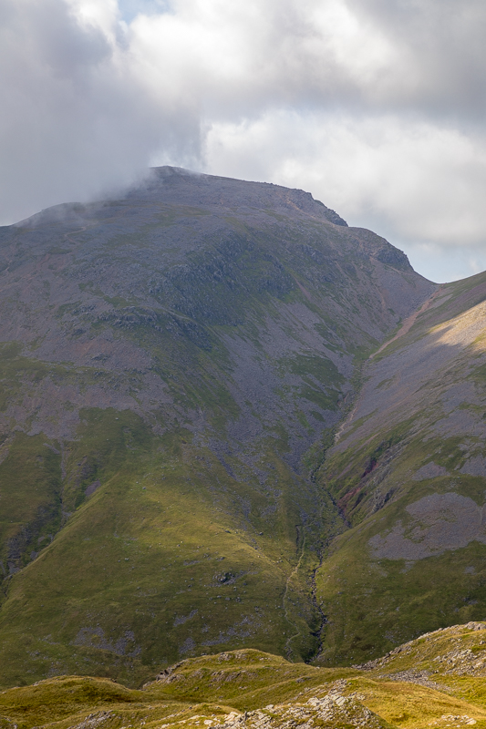
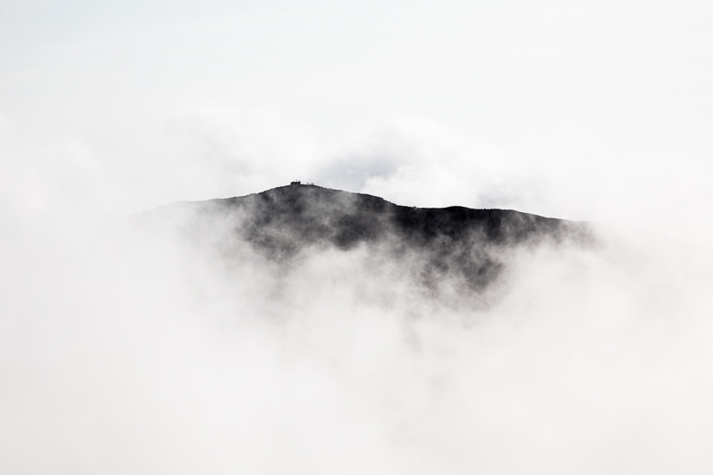
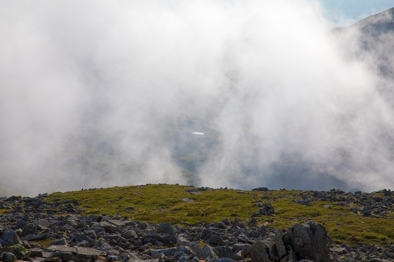
| 8.19 And Great Gable never wants to let go of its cloud. |
 |
||
|---|---|---|
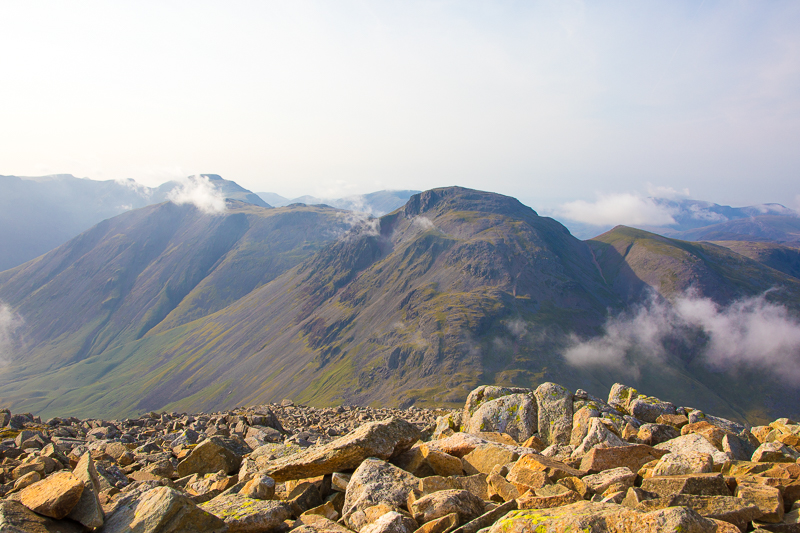
| 15.01 Great Gable and Green Gable. |
 |
||
|---|---|---|
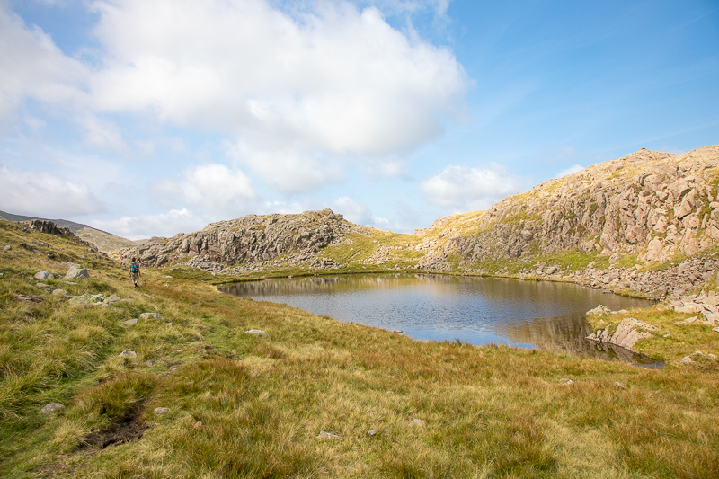
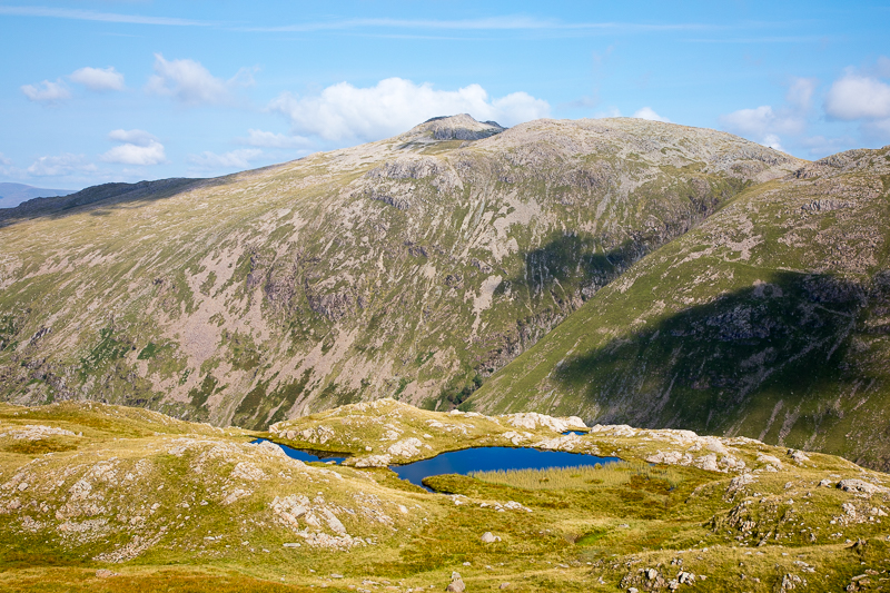
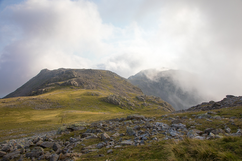
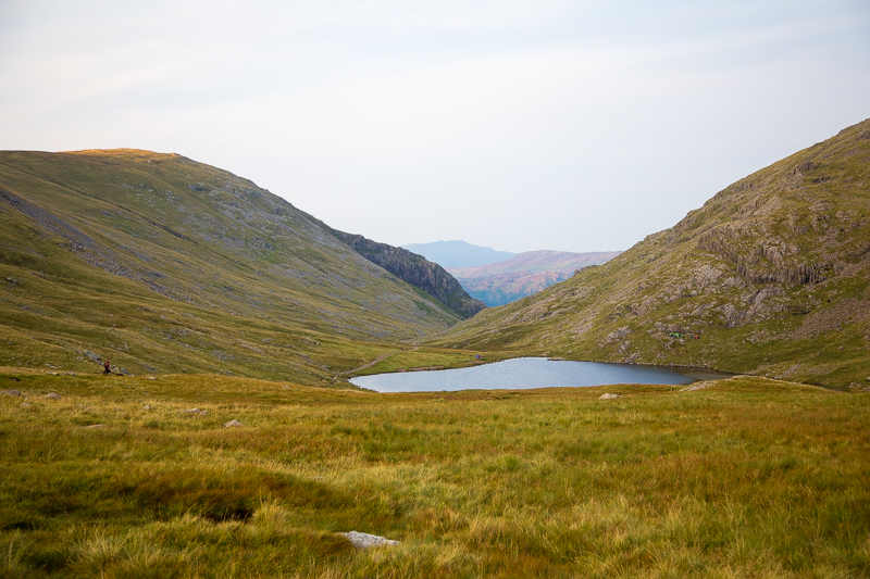
| 15.14 Having passed Sprinkling Tarn we met a second smaller tarn just below Great Slack. |
 |
||
|---|---|---|
| 15.15 Esk Pike in the background. Great Slack on the right with Great End behind it. |
 |
||
|---|---|---|
| 15.15 |
 |
||
|---|---|---|
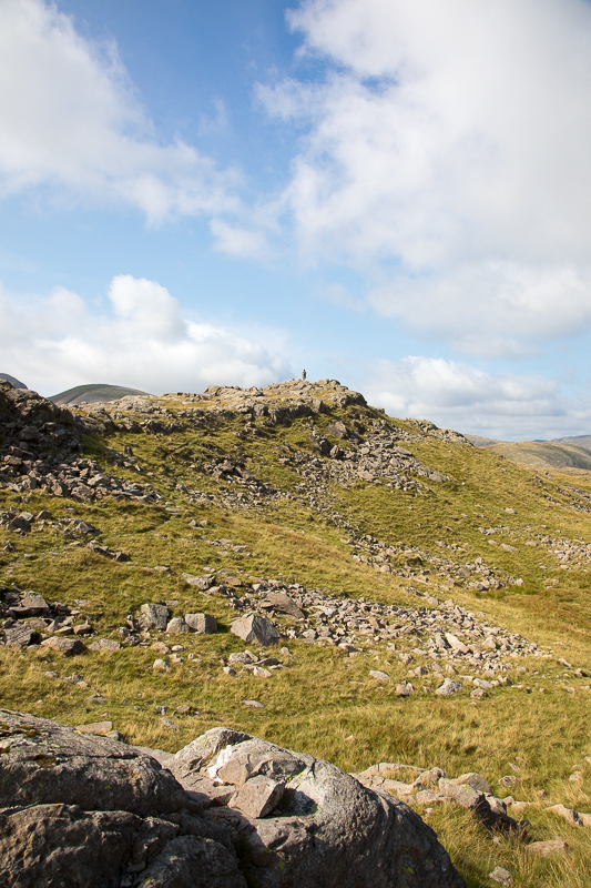
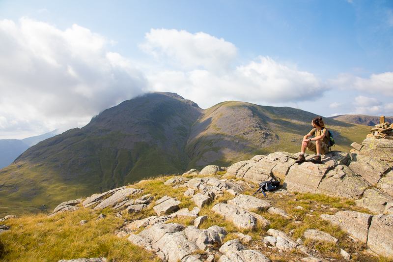
| 15.19 Nearing the summit of Seathwaite Fell. |
 |
||
|---|---|---|
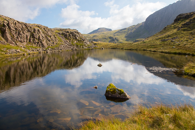
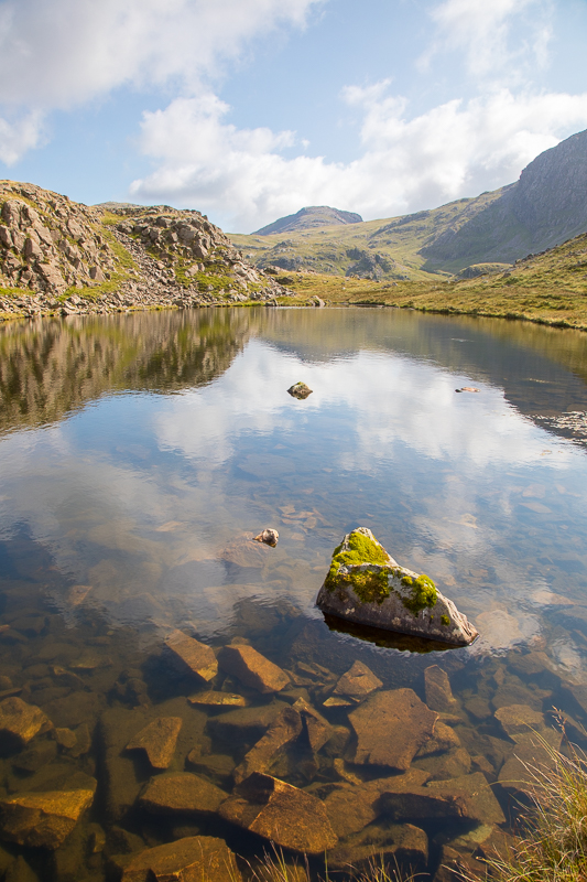
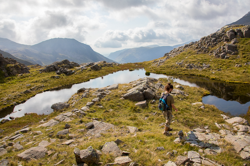
| 15.25 There are quite a few small tarns on Seathwaite Fell. |
 |
||
|---|---|---|
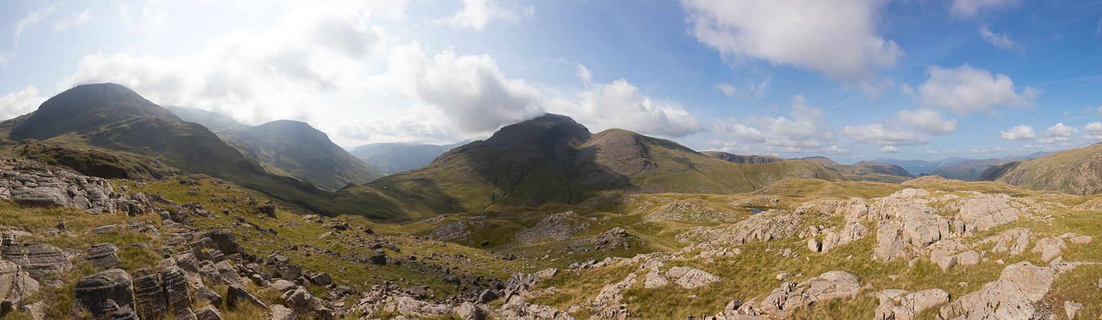
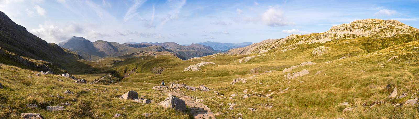
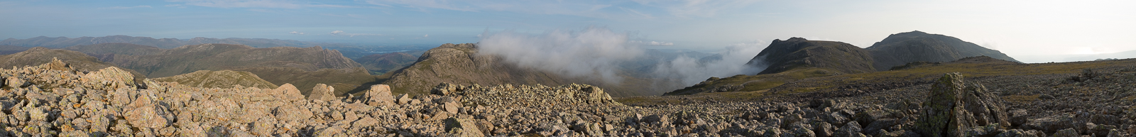
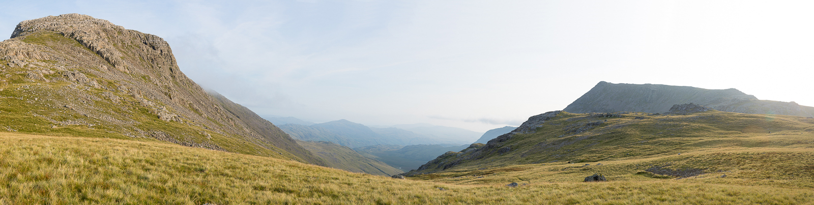
| 15.28 Panorama 555 Seathwaite Fell summit looking west (Wainwright #143 2073ft) |
 |
||
|---|---|---|
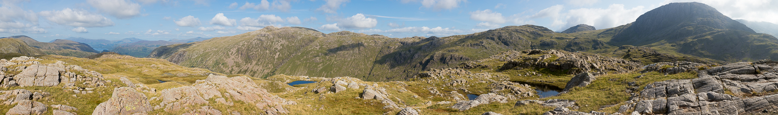
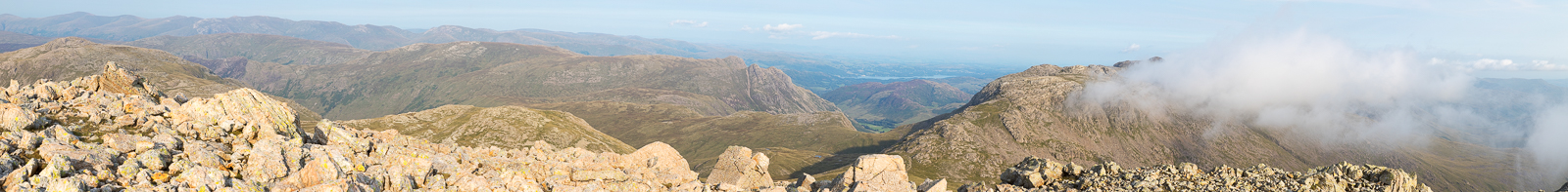
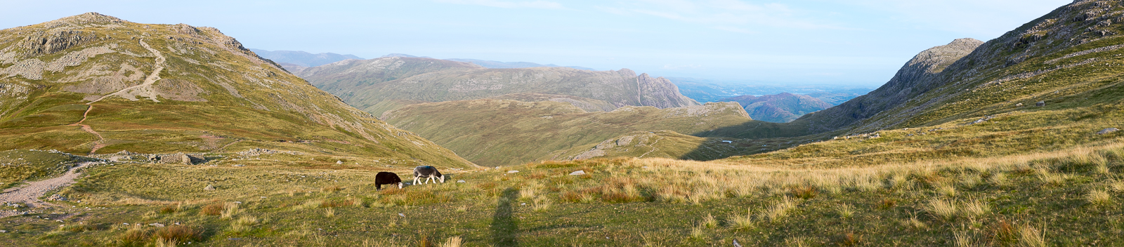
| 15.29 Panorama 556 Seathwaite Fell summit looking east |
 |
||
|---|---|---|
| 15.30 Looking across the valley towards Great Gable. |
 |
||
|---|---|---|
| 15.37 Great Gable |
 |
||
|---|---|---|
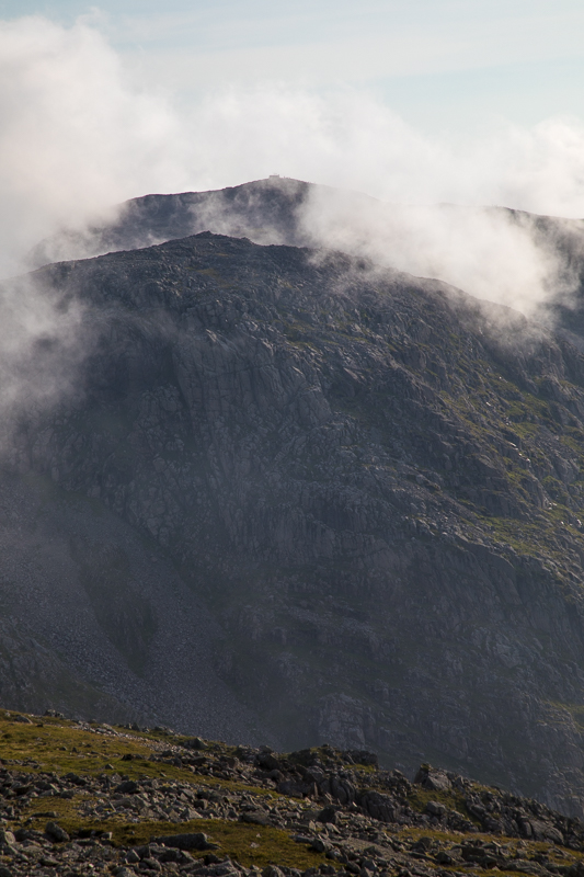
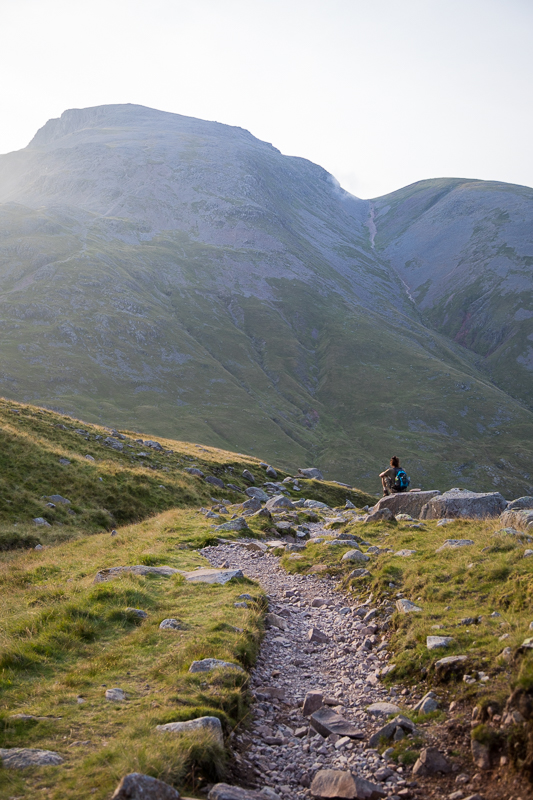
| 15.37 The mountain rescue box at Styhead is visible with Wasdale Head in the background. |
 |
||
|---|---|---|
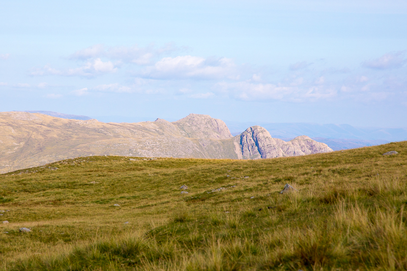
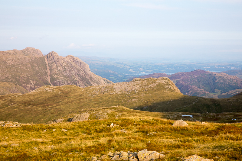
| 15.41 Glaramara |
 |
||
|---|---|---|
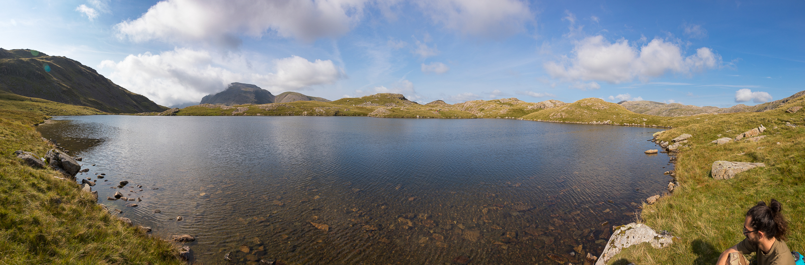
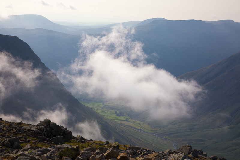
| 15.56 Panorama 557 We stopped for a paddle in Sprinkling Tarn on the way back to the main path. |
Sprinkling Tarn is a most attractive sheet of water with an indented rocky shore, its scenic quality enhanced by the massive cliffs of Great End nearby and soaring above. |
|||||
Alfred Wainwright - The Southern Fells. Wetherlam 10. |
|||||
 |
||
|---|---|---|
| 16.35 Panorama 558 Further up the main path alongside Ruddy Gill with small parts of Sprinkling Tarn just visible. |
 |
||
|---|---|---|
| 16.43 The Langdale Pikes come into view as we climb the path. |
 |
||
|---|---|---|
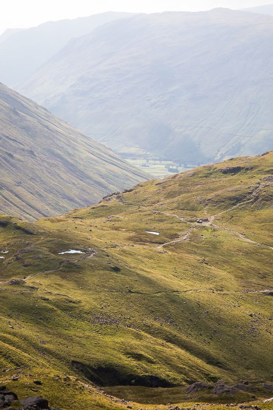
| 16.45 Looking back down the path with Base Brown visible behind Seathwaite Fell. |
 |
||
|---|---|---|
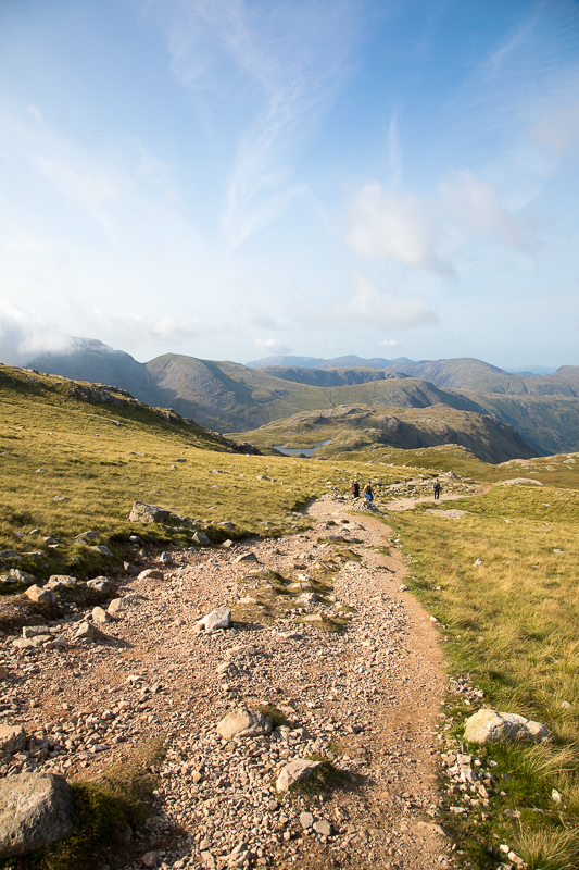
| 16.57 After turning the corner at Esk Hause. The path up the back of Great End is pretty easy. |
 |
||
|---|---|---|
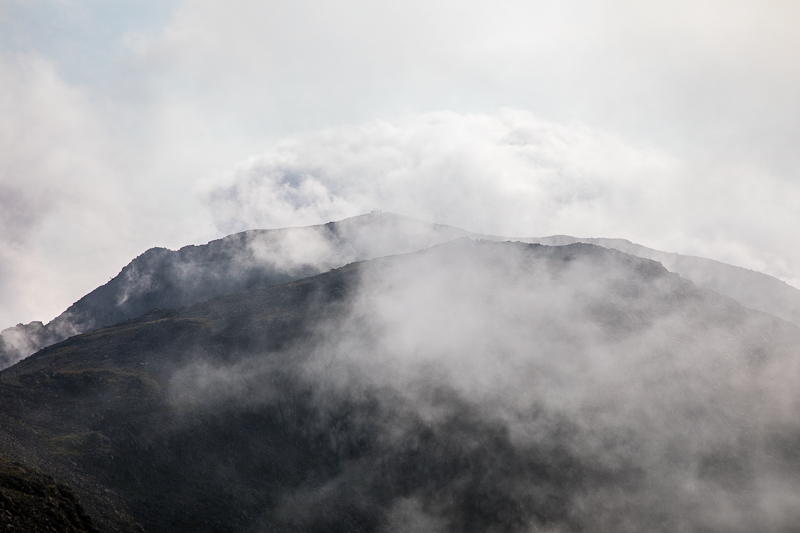
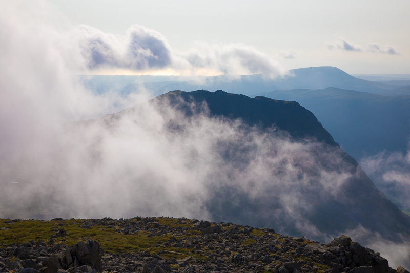
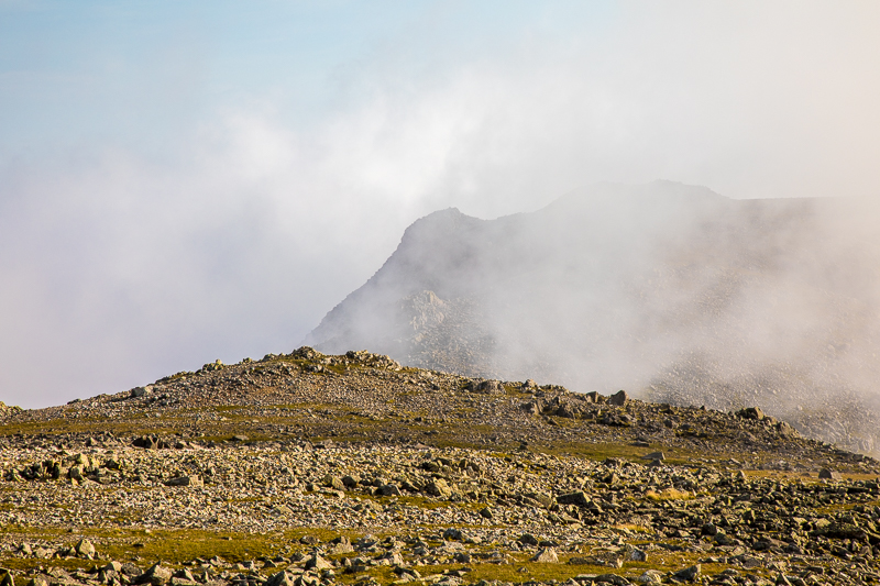
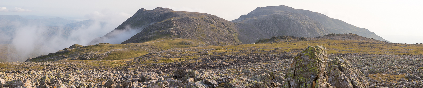
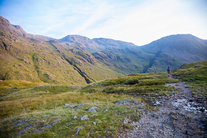
| 17.14 Looking across to Esk Pike as we climbed above Calf Cove col. Bowfell clung on to its cloud for most of the day. |
 |
||
|---|---|---|
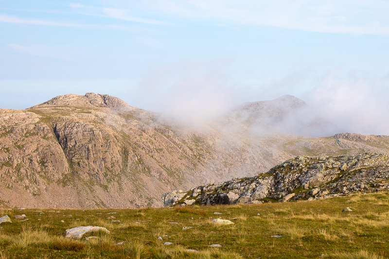
| 17.15 Ill Crag clear but Scafell Pike in cloud. |
 |
||
|---|---|---|
| 17.16 Scafell Pike behind Broad Crag. |
While the multitudes are milling around the top of nearby Scafell Pike, the cairn on Great End often remains lonely and here one may enjoy, uninterrupted, a view scarcely less extensive or less interesting and certainly no less beautiful than that from the Pike. In one direction, to the north, the view is near perfection: this scene of Borrowdale and Derwent Water, backed by Skiddaw, is among the fairest of Lakeland pictures. |
|||||
Alfred Wainwright - The Southern Fells. Wetherlam 10. |
|||||
 |
||
|---|---|---|
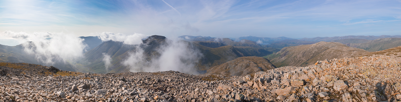
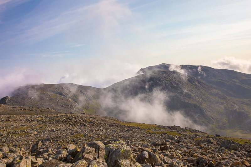
| 17.27 Panorama 560 Great End summit looking west (Wainwright #144 2986 ft). All the high fells in view were quickly hiding and showing as the clouds blew around and yet Great End was completely clear the whole time we were there and also completely still. |
 |
||
|---|---|---|
| 17.27 Broad Crag with Scafell Pike behind. |
 |
||
|---|---|---|
| 17.39 Scafell Pike floating in the clouds. |
 |
||
|---|---|---|
| 17.40 Kirk Fell and Great Gable |
 |
||
|---|---|---|
| 17.40 Lingmell. |
 |
||
|---|---|---|
| 17.41 Wasdale Head below us. |
 |
||
|---|---|---|
| 17.41 Lambsfoot Dub, a small tarn close to the corridor route. |
 |
||
|---|---|---|
| 17.41 Ill Crag. |
 |
||
|---|---|---|
| 17.43 A few clear moments for Scafell Pike. |
 |
||
|---|---|---|
| 17.49 Great End summit looking north |
 |
||
|---|---|---|
| 17.55 Great End summit looking east |
 |
||
|---|---|---|
| 17.57 Panorama 561 Great End summit looking east |
 |
||
|---|---|---|
| 17.57 Panorama 562 Great End summit looking south |
 |
||
|---|---|---|
| 18.07 Bowfell briefly clears behind Esk Pike. |
 |
||
|---|---|---|
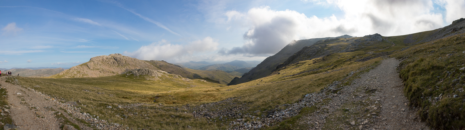
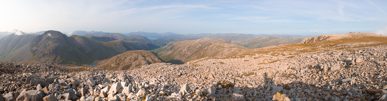
| 18.26 Panorama 563 Esk Hause looking south |
 |
||
|---|---|---|
| 18.30 Panorama 564 Esk Hause looking north |
 |
||
|---|---|---|
| 18.32 Rossett Pike with Windermere in the distance behind Lingmoor Fell. |
 |
||
|---|---|---|
| 18.34 |
 |
||
|---|---|---|
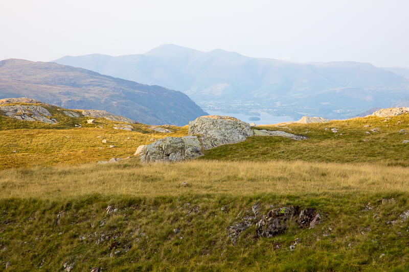
| 18.39 A glimpse of Derwent Water as we descend the path back to Styhead |
 |
||
|---|---|---|
| 19.03 |
 |
||
|---|---|---|
| 19.17 Styhead Tarn |
 |
||
|---|---|---|
| 19.20 Leaving Styhead for the main Wasdale Path. |
 |
||
|---|---|---|
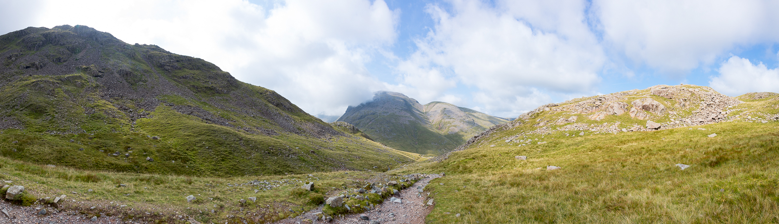
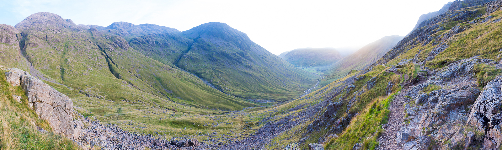
| 19.25 Panorama 565 At the top of the path with Lingmell in the centre and Wasdale in the distance. |
|
|
 |
|---|