|
|
Walk 63 - Red Pike - 1st September 2021 |
||||
Wainwright's Walking Guide to the Lake District Fells - Book 7 The Western Fells |
||||
#148 Red Pike 2710 ft
|
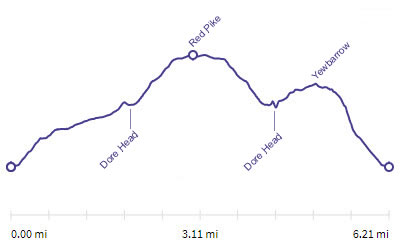 |
Distance |
6.1 miles |
|
Time |
7.5 hrs |
|||
Lowest Point |
209 ft |
|||
Highest Point |
2710 ft |
|||
Total Ascent |
3197 ft |
|||
Walk Rating - tough |
||||
 |
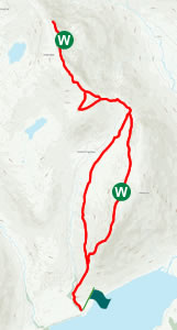
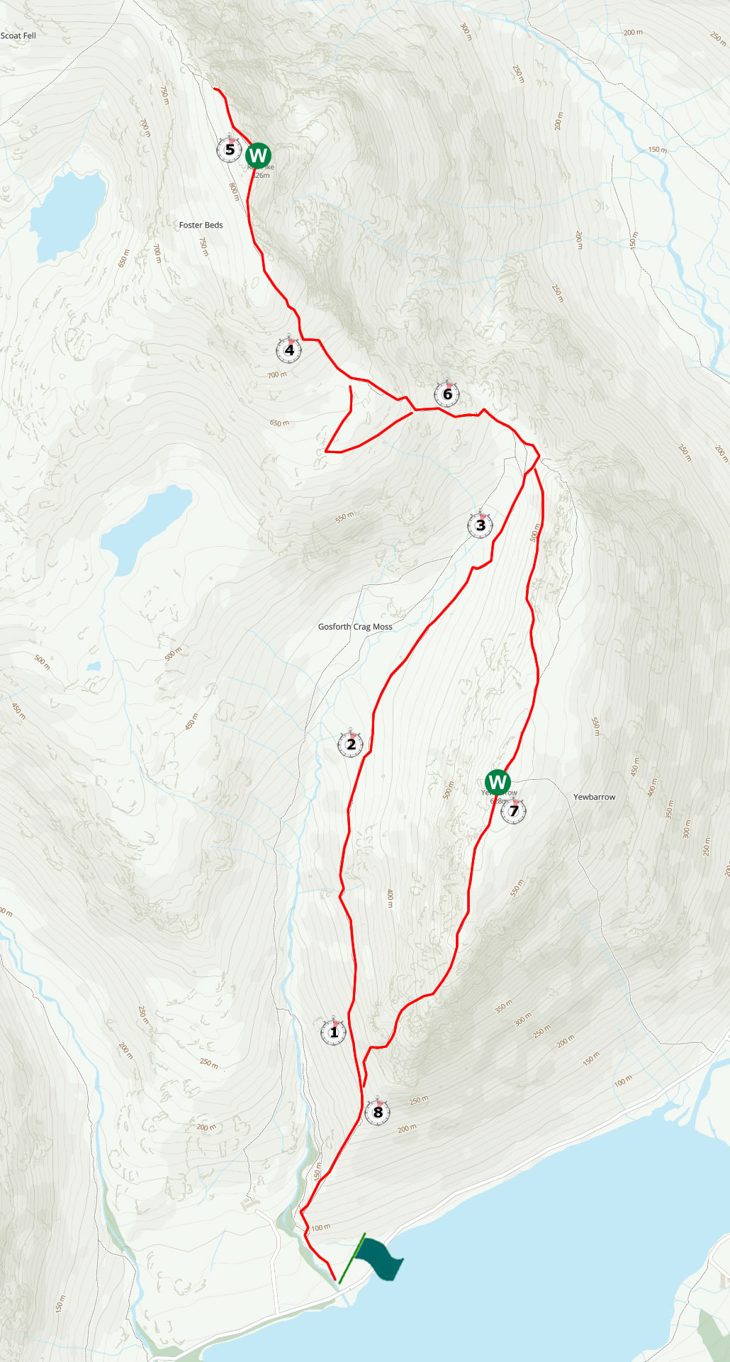
Mini Route Map Go to walk start
|
 |
|---|
 |
||
|---|---|---|
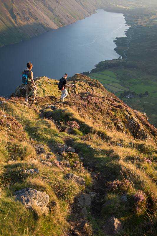
| 13.16 Yewbarrow towering over the early part of the path. |
 |
||
|---|---|---|
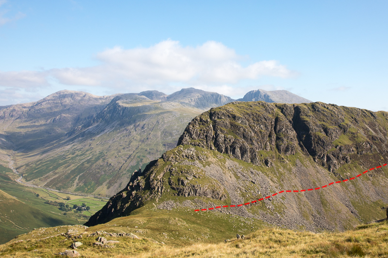
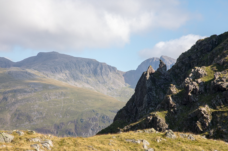
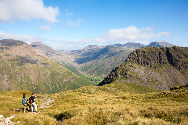
13.27 Our return route is visible between the two crags - Bell Rib on the right and the lower Dropping Crag on the left. |
 |
||
|---|---|---|
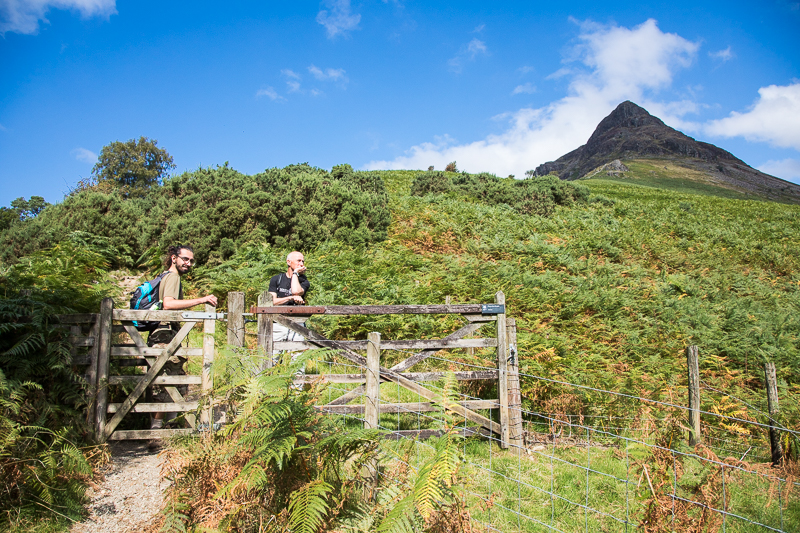
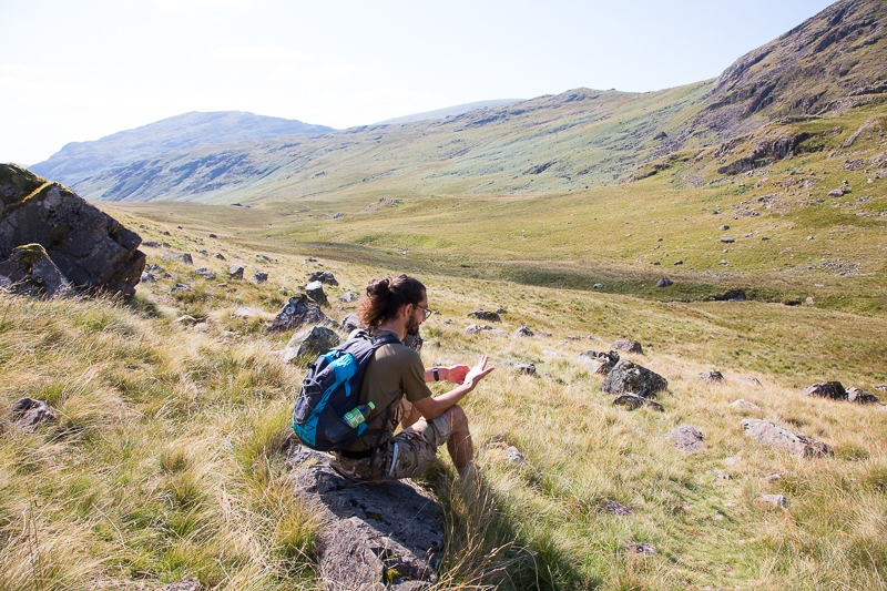
13.45 A map check at the second gate but we still managed to take the wrong path shortly after this and had to retrace our steps for 50m. |
 |
||
|---|---|---|
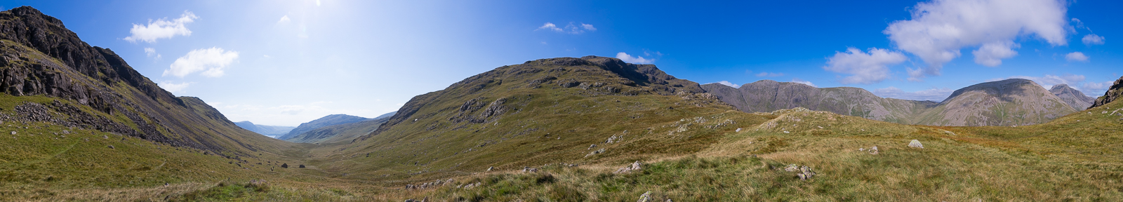
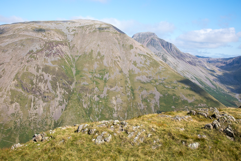
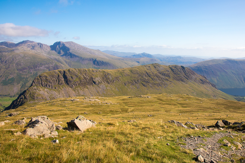
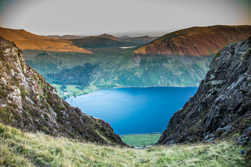
| 13.53 Panorama 583 A rather distorted view showing Dropping Crag above us. |
 |
||
|---|---|---|
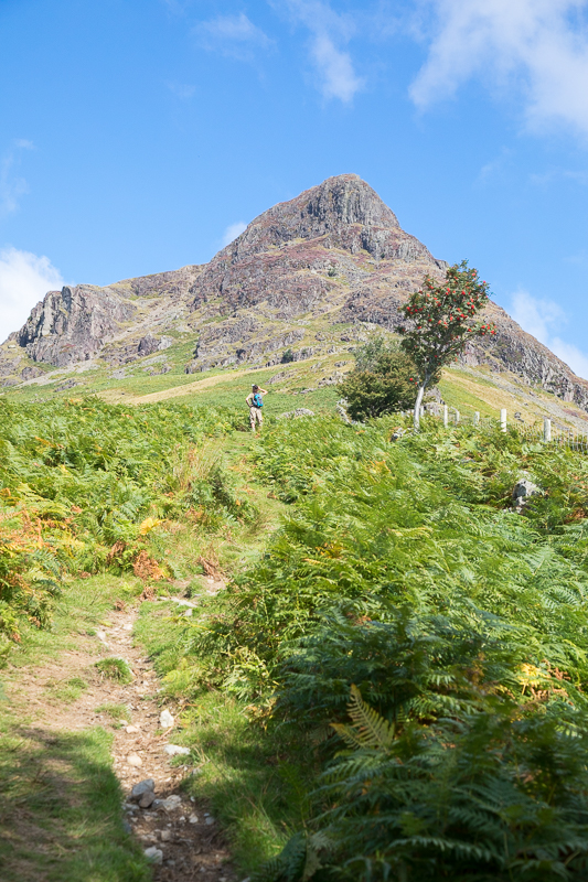
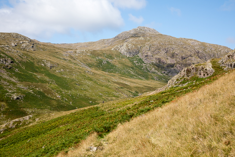
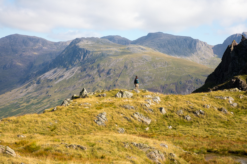
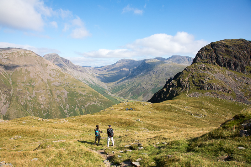
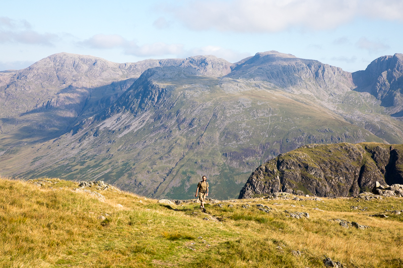
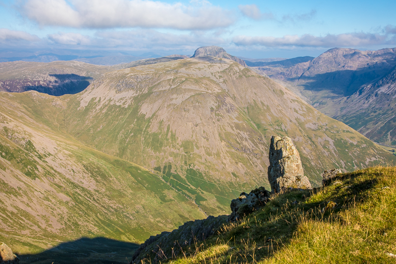
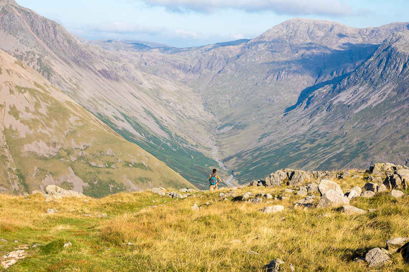
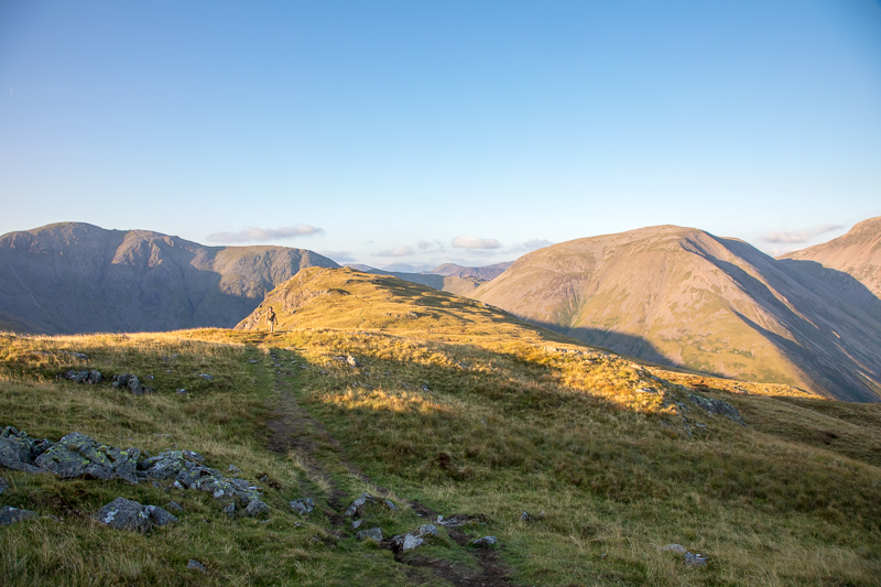
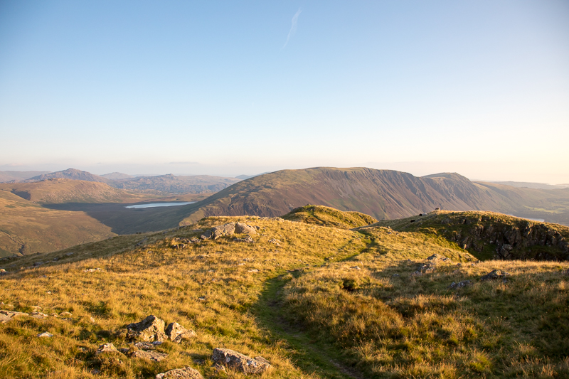
| 14.21 Red Pike at the end of the valley. |
 |
||
|---|---|---|
| 14.33 Ascending the path that runs along the side of Yewbarrow. |
 |
||
|---|---|---|
| 14.57 Drinks break. |
 |
||
|---|---|---|
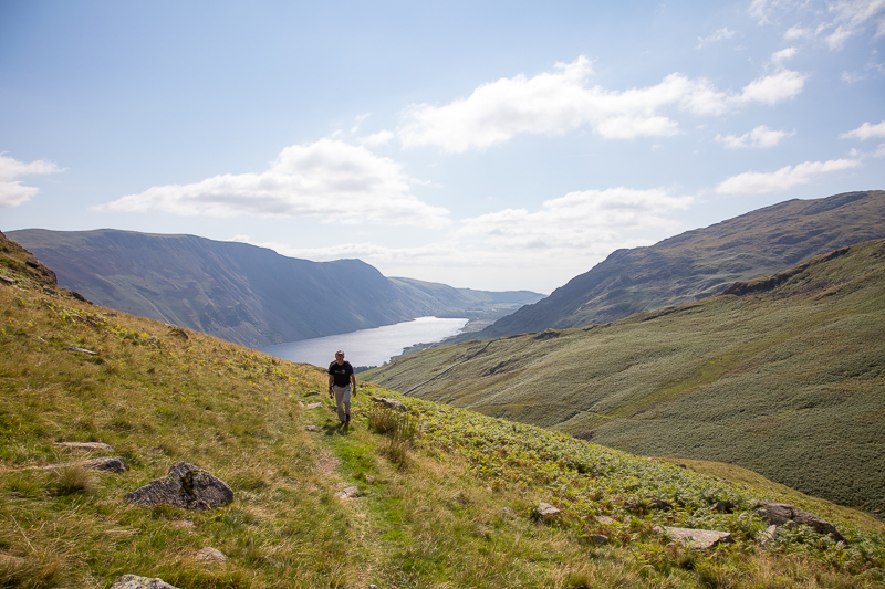
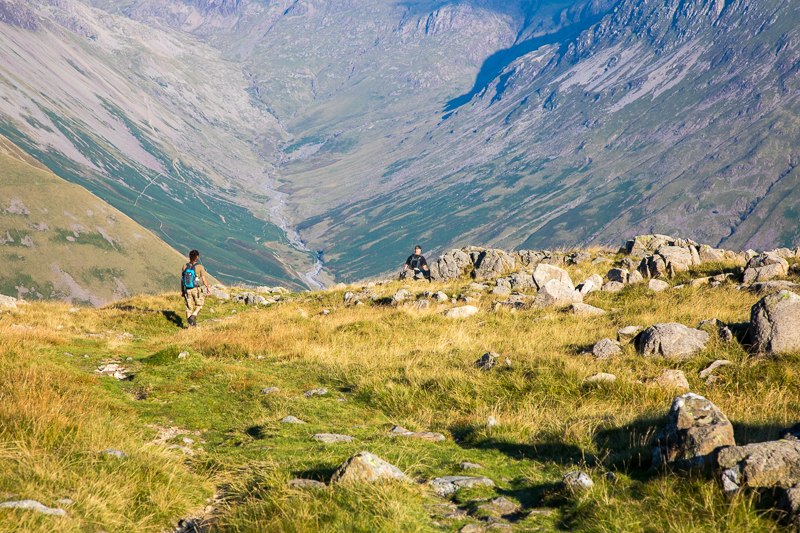
| 15.11 Approaching Dore Head |
 |
||
|---|---|---|
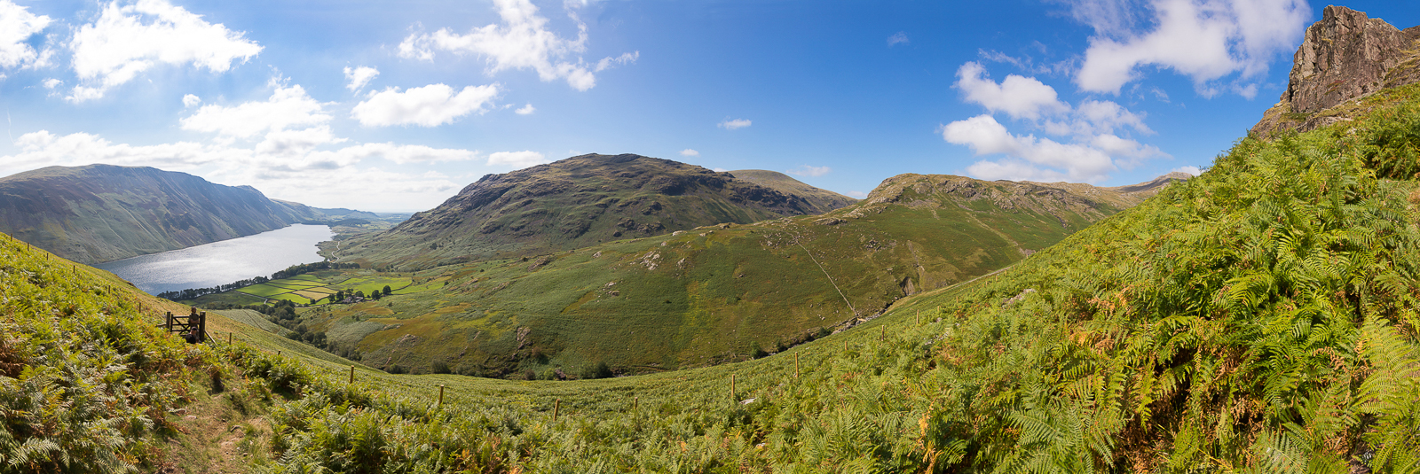
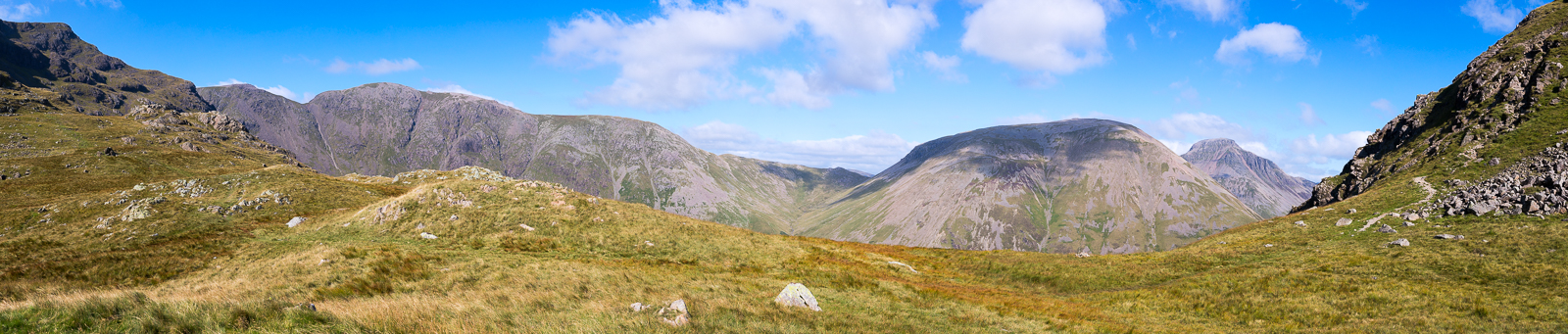
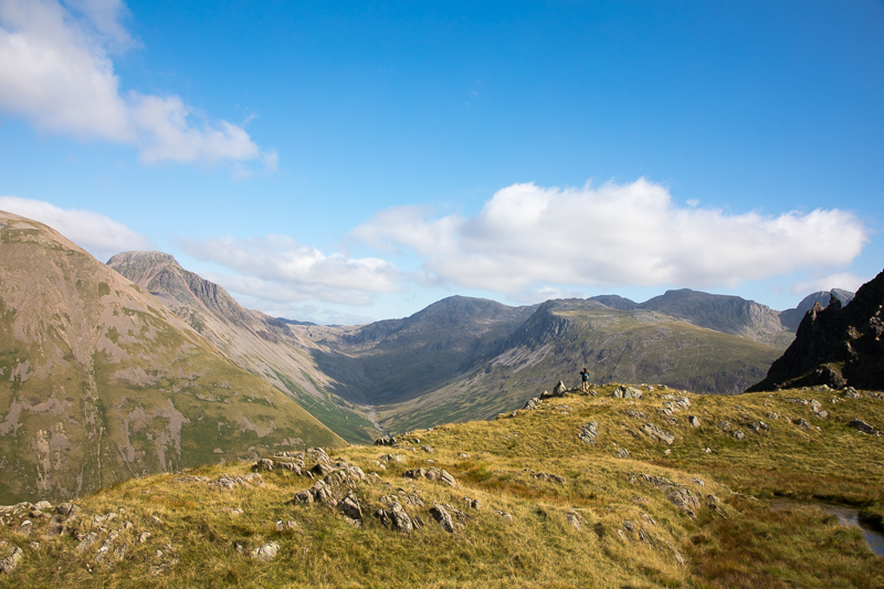
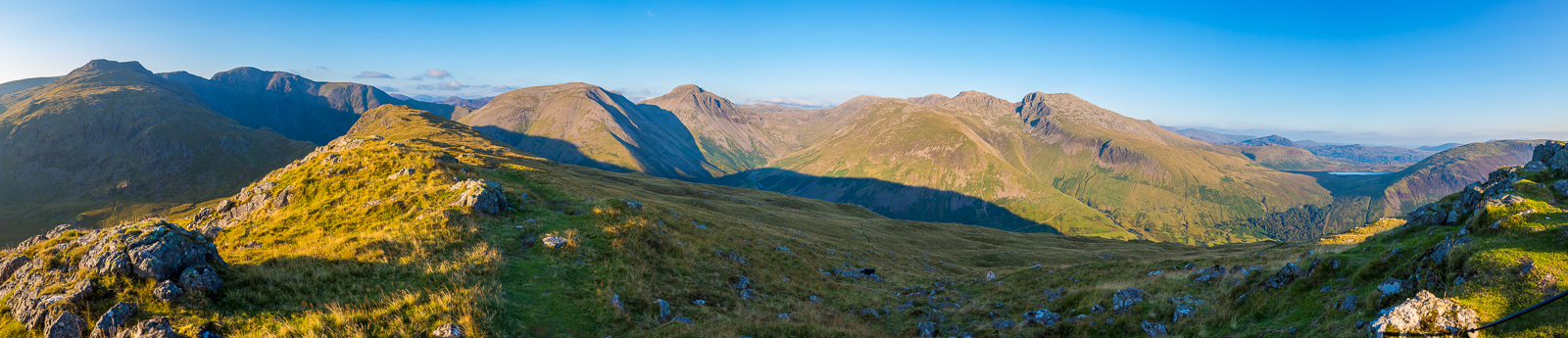
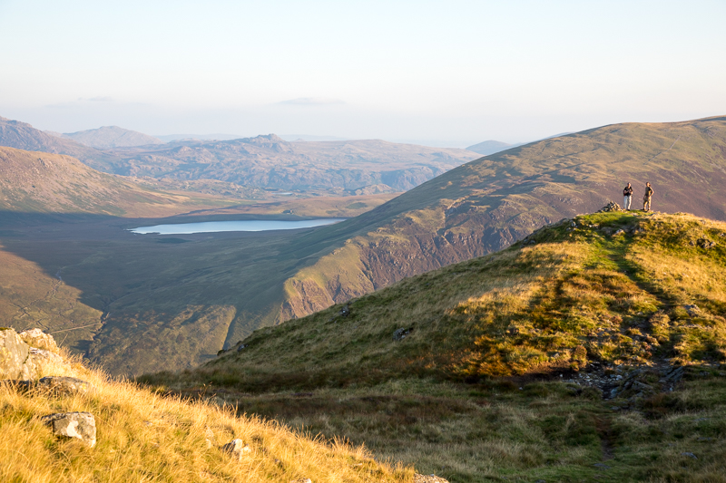
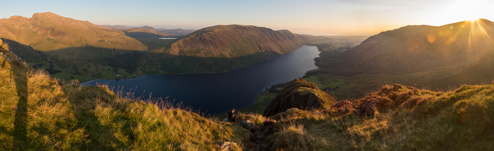
| 15.21 Panorama 584 From Dore Head looking south west. |
 |
||
|---|---|---|
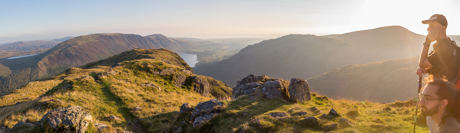
| 15.22 Panorama 585 From Dore Head looking north east. |
 |
||
|---|---|---|
| 15.23 At Dore Head |
 |
||
|---|---|---|
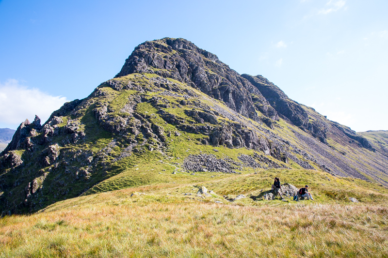
| 15.25 Stirrup Crag above us. |
 |
||
|---|---|---|
| 15.26 Amazing views from Dore Head. |
 |
||
|---|---|---|
| 15.29 Stirrup Crag with the Scafells in the distance. |
 |
||
|---|---|---|
| 15.29 Kirk Fell and Great Gable. |
 |
||
|---|---|---|
| 15.31 Looking down onto Wasdale Head |
 |
||
|---|---|---|
| 15.31 Dore Head |
 |
||
|---|---|---|
| 15.41 Looking down on Dore Head. |
If there are no witnesses about to tell of their shame, timid walkers may avoid Stirrup Crag entirely by taking the Overbeck path from Dore Head then turning off left on a thin path |
|||||
Alfred Wainwright - The Western Fells, Red Pike(W) 10. |
|||||
 |
||
|---|---|---|
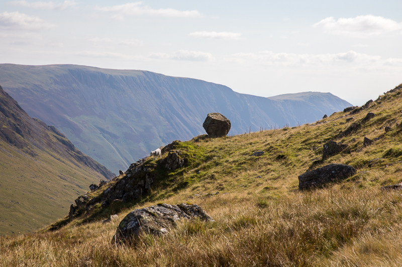
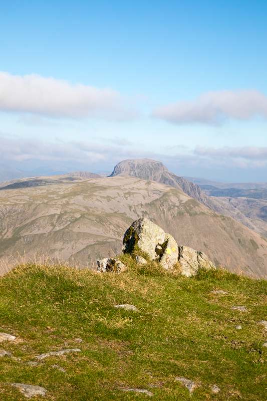
| 15.52 The balanced boulder on the side of Red Pike. |
 |
||
|---|---|---|
| 15.52 Great views in all directions today. |
 |
||
|---|---|---|
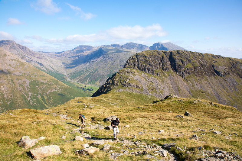
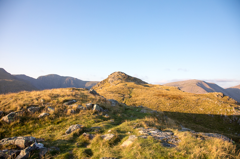
| 15.54 Ascending Red Pike |
 |
||
|---|---|---|
| 16.15 Lingmell in the background |
 |
||
|---|---|---|
| 16.29 Yewbarrow |
 |
||
|---|---|---|
| 16.30 Reaching the ridge on Red Pike. |
 |
||
|---|---|---|
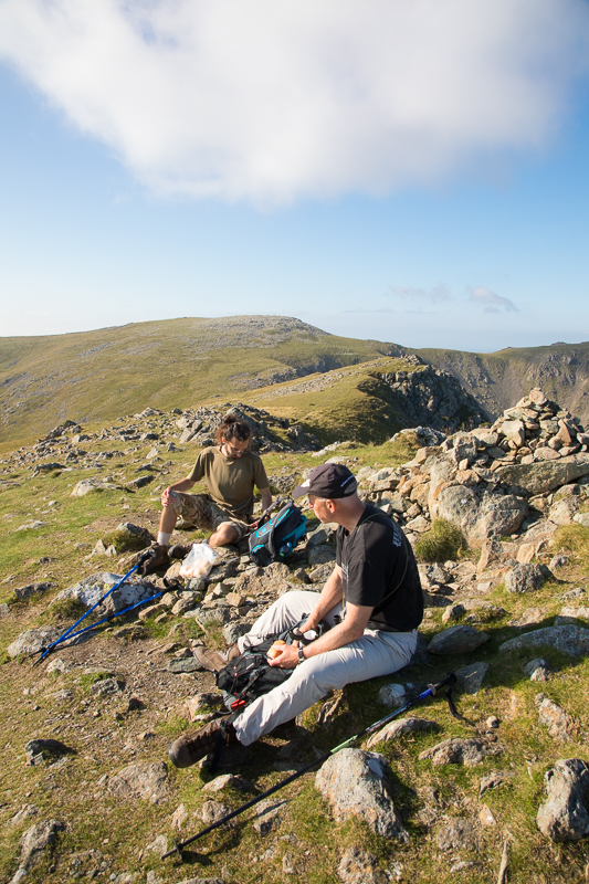
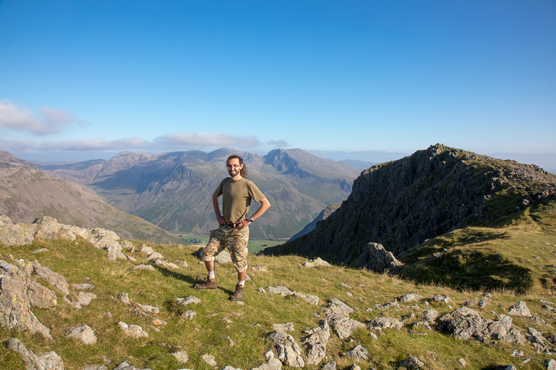
| 16.51 Lunch on the summit of Red Pike. |
 |
||
|---|---|---|
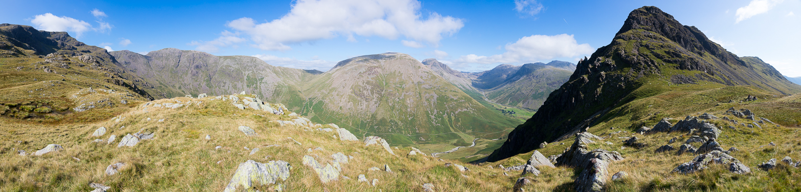
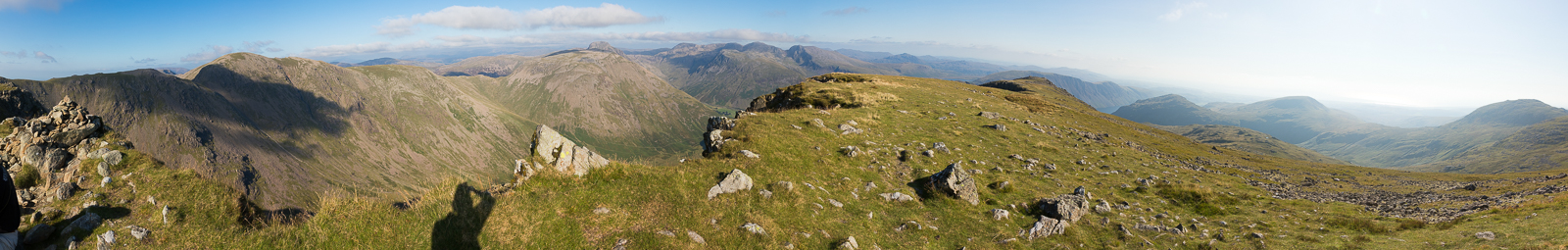
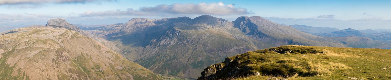
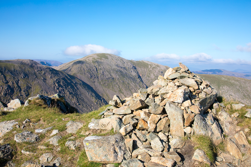
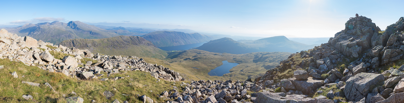
| 16.51 Panorama 586 Red Pike summit (Wainwright #148 2710ft) |
 |
||
|---|---|---|
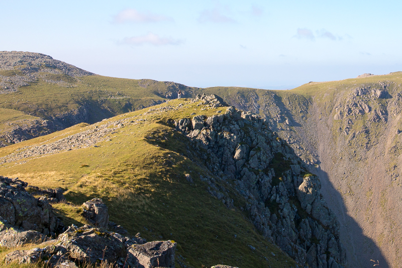
| 16.57 Looking back along the ridge of Red Pike with Illgill Head in the background. |
 |
||
|---|---|---|
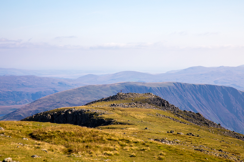
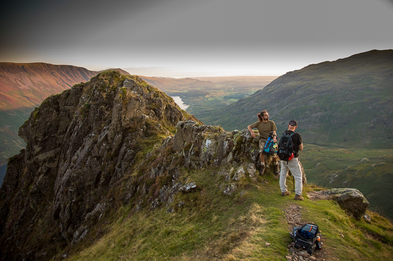
| 17.00 Mike reaching the second, slightly lower, cairn on Red Pike. |
 |
||
|---|---|---|
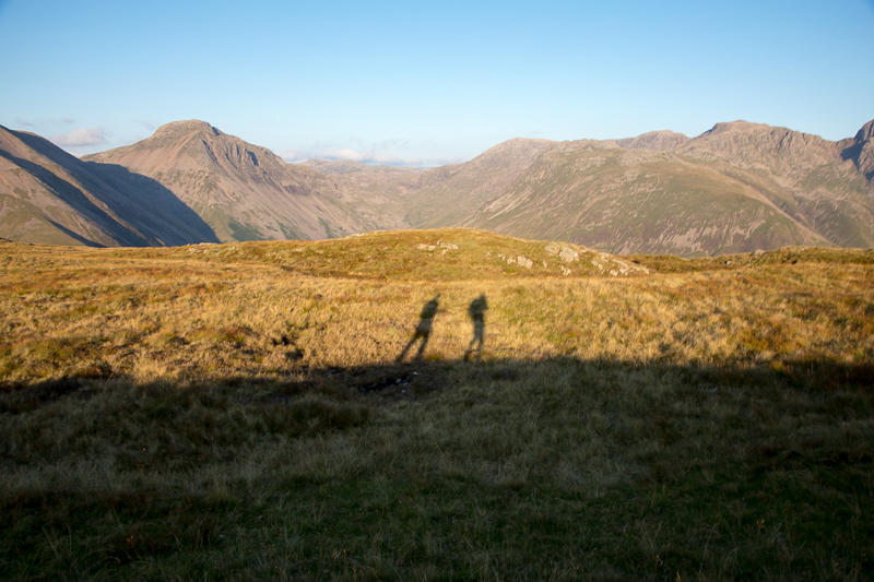
| 17.01 Great Gable behind Kirk Fell |
 |
||
|---|---|---|
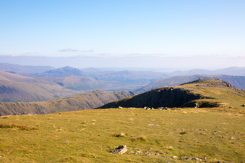
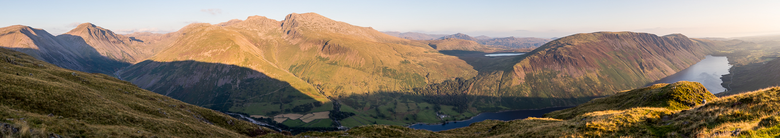
| 17.02 Panorama 587 Great Gable, Great End and the Scafells. |
 |
||
|---|---|---|
| 17.08 On the second cairn looking back at the summit. |
 |
||
|---|---|---|
| 17.09 Looking back at the summit from the second cairn. |
 |
||
|---|---|---|
| 17.10 Black Sail Pass and Kirk Fell. |
 |
||
|---|---|---|
| 17.13 Pillar |
 |
||
|---|---|---|
| 17.20 Walking back down the ridge. |
 |
||
|---|---|---|
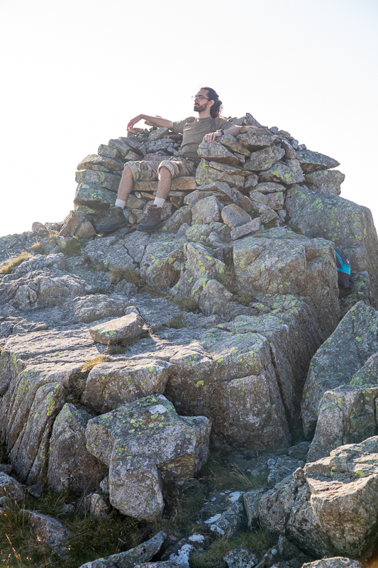
| 17.29 The Chair . . . . |
A summit feature that often escapes attention nowadays is an outcrop of rock that has as been converted into a comfortable seat by the erection of a backrest and side arms of stones. |
|||||
Alfred Wainwright - The Western Fells, Red Pike(W) 8. |
|||||
 |
||
|---|---|---|
| 17.29 . . . and the view from The Chair including Low Tarn and Middle Fell. |
 |
||
|---|---|---|
| 17.30 Panorama 588 On The Chair at the end of the Red Pike ridge. The Chair was off the track and we spent a few minutes looking before we found it. |
 |
||
|---|---|---|
| 17.44 Descending Red Pike towards Dore Head again. |
 |
||
|---|---|---|
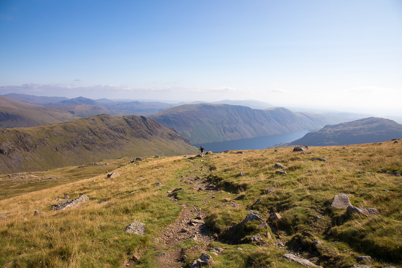
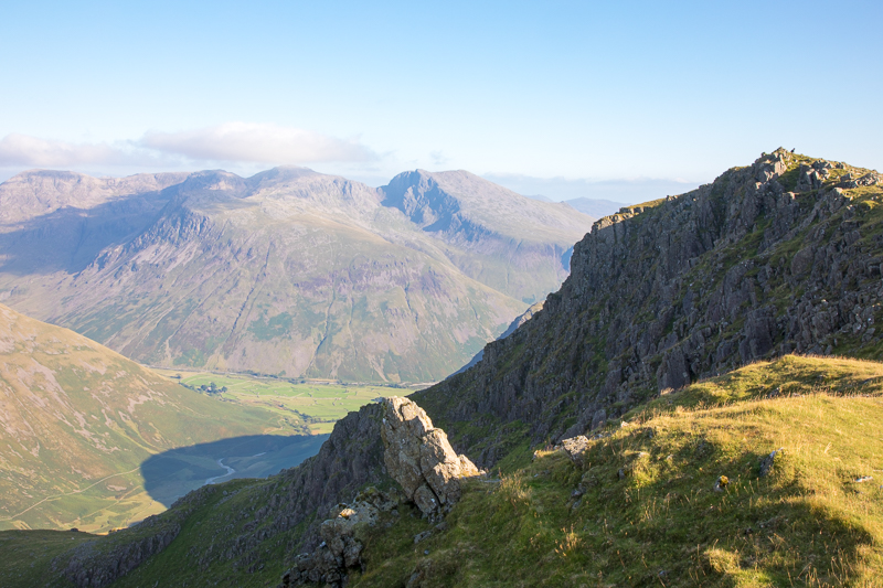
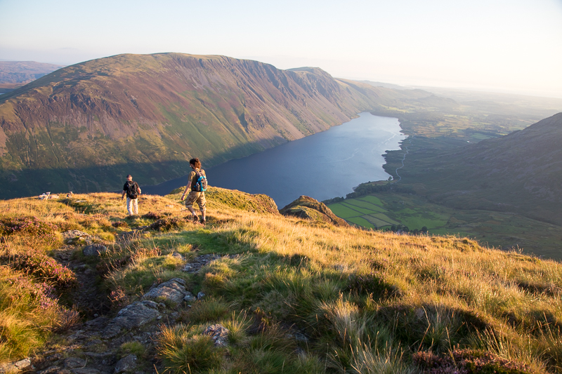
| 17.44 Lingmell Beck in the distance and Great End on the horizon. |
 |
||
|---|---|---|
| 18.50 We successfully made the path that traverses the side of Yewbarrow from Dore Head and now have reached the ridge in the middle of Yewbarrow. |
 |
||
|---|---|---|
| 18.52 Time is pressing on now so we don't go to Stirrup Crag at the northern head of Yewbarrow but head straight for the main summit. |
 |
||
|---|---|---|
| 18.57 Panorama 589 Yewbarrow summit (Wainwright #149 2060ft). |
It is a feather in Yewbarrow’s cap that all four of the Lakeland’s 3,000 footers can be seen from its modest summit, but this is a freak of its position and not an indication that the view is everywhere extensive. |
|||||
Alfred Wainwright - The Western Fells, Yewbarrow 8. |
|||||
 |
||
|---|---|---|
| 19.00 Yewbarrow summit |
 |
||
|---|---|---|
| 19.06 Looking back at the summit |
 |
||
|---|---|---|
| 19.08 |
 |
||
|---|---|---|
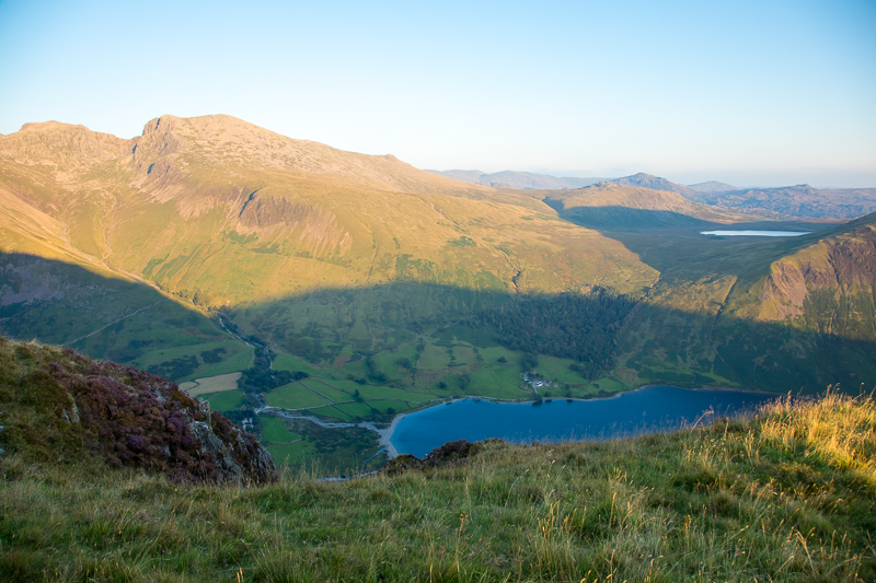
| 19.11 Burnmoor Tarn on the far side of Illgill Head |
 |
||
|---|---|---|
| 19.14 Panorama 590 Yewbarrow |
 |
||
|---|---|---|
| 19.20 |
 |
||
|---|---|---|
| 19.20 |
 |
||
|---|---|---|
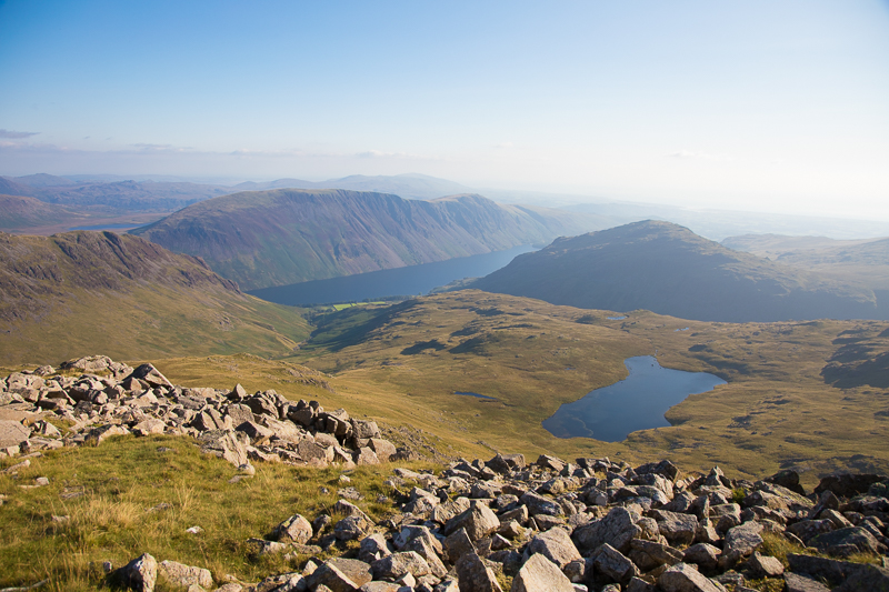
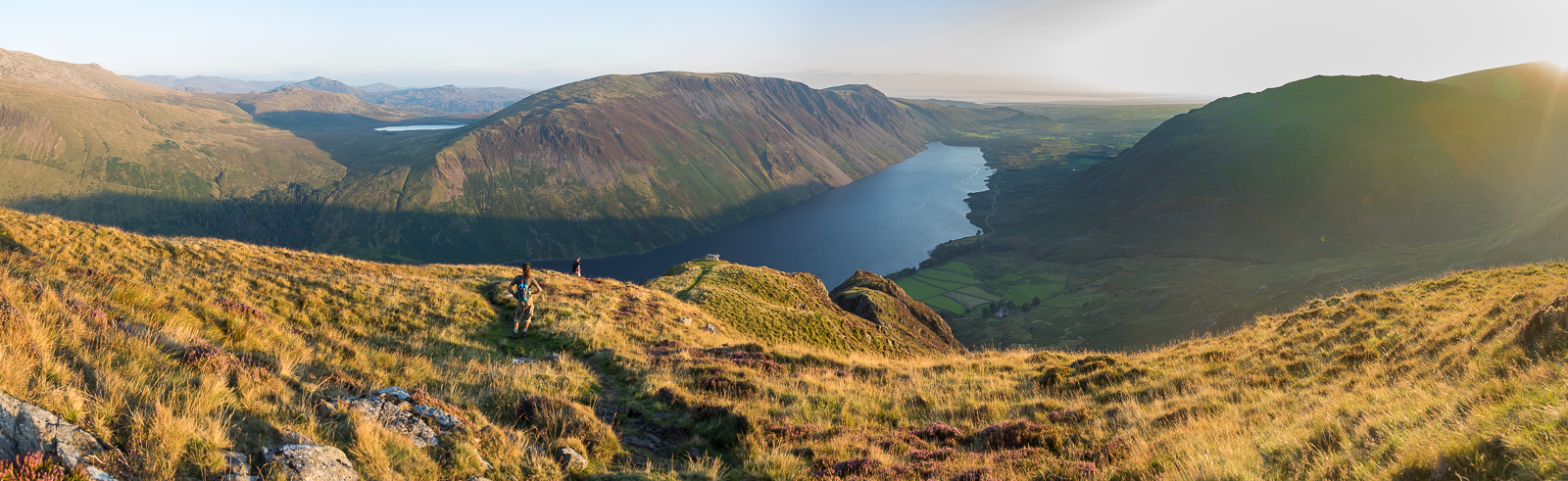
| 19.21 Panorama 591 As we descend Yewbarrow the view of Wastwater opens up. |
 |
||
|---|---|---|
| 19.24 |
 |
||
|---|---|---|
| 19.25 |
 |
||
|---|---|---|
| 19.29 Panorama 592 The path starts to drop steeply here and I had to put my camera away as I scrambled down. On the last bump of Bell Rib we could see a red tent pitched and we met the two people who had pitched it as the climbed up to the summit. |
 |
||
|---|---|---|
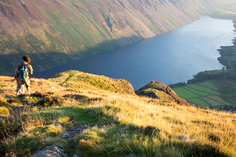
| 19.43 Looking down at Wastwater as the sun goes down behind us. |
 |
||
|---|---|---|
| 19.43 The end of the drop down the spine of Yewbarrow. The path goes down to the right here and becomes a more normal mountain walk again although there was a litle bit of scrambling to do about half way down. It was an hour back to the car park from here. |
|
|
 |
|---|