Walk 62 - Seatallan - 31st August 2021 |
||||
Wainwright's Walking Guide to the Lake District Fells - Book 7 The Western Fells |
||||
#146 Buckbarrow 1378 ft
|
 |
Distance |
6.7 miles |
|
Time |
5 hrs |
|||
Lowest Point |
239 ft |
|||
Highest Point |
2270 ft |
|||
Total Ascent |
2543 ft |
|||
Walk Rating - moderate |
||||
 |
Mini Route Map Go to walk start |
 |
|---|
 |
||
|---|---|---|
| 1.59 We parked at Greendale and walked along the road to the Buckbarow path at NY 12963 05470. |
 |
||
|---|---|---|
2.23 As we climbed the path someone got a phone signal. It was great to have the entire day punctuated by pings every ten minutes. |
 |
||
|---|---|---|
| 14.34 Looking back down the way we have come. Yes I am not at the back for once. |
 |
||
|---|---|---|
| 14.35 Some patient waiting going on. |
 |
||
|---|---|---|
| 14.41 In the trees below is the start of the path we have come up. |
 |
||
|---|---|---|
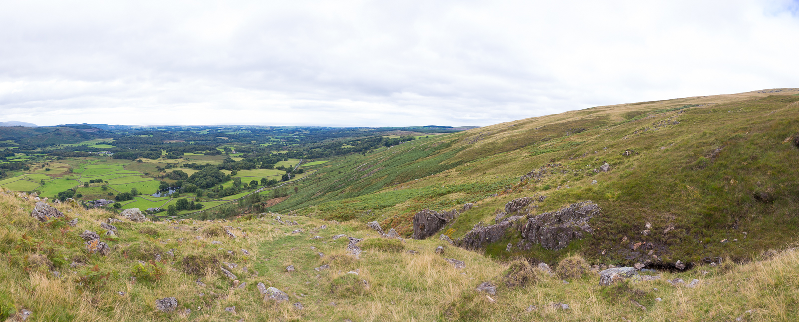
| 14.45 Looking south west along the path we have come. |
 |
||
|---|---|---|
| 14.54 A bit of early route checking. |
 |
||
|---|---|---|
| 14.56 Looking south west. |
 |
||
|---|---|---|
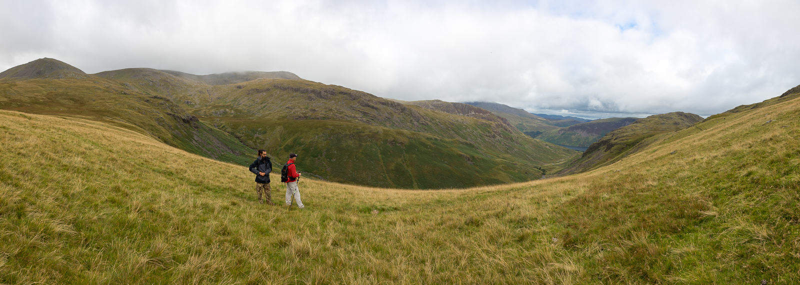
| 15.09 Panorama 575 From the front edge of Buckbarrow Fell, the junction near Wastwater is clearly visible. This is the part of Buckbarrow that is most prominent from the road but the summit is a little further back, where Nick and Mike are already standing. |
 |
||
|---|---|---|
| 15.10 Buckbarrow summit |
 |
||
|---|---|---|
| 15.14 Whin Rigg summit on the far side of Wastwater. |
 |
||
|---|---|---|
| 15.14 One person is checking the map. No idea what the other one is doing. |
 |
||
|---|---|---|
| 15.27 Misty over the Scafells. |
 |
||
|---|---|---|
| 15.27 Panorama 576 Buckbarrow summit (Wainwright #146 1378ft) |
 |
||
|---|---|---|
| 15.40 There are two interim points before the climb of Seatallan. This is Glade How and in the background is Cat Bields. |
 |
||
|---|---|---|
| 15.51 Slightly clearer over the Scafells now. |
 |
||
|---|---|---|
| 15.56 The long slope up the spine of Seatallan with a good view of the Wastwater Screes. |
 |
||
|---|---|---|
| 16.01 Panorama 577 This part of the walk is never steep, but it is long. |
 |
||
|---|---|---|
| 16.38 Mickledore from the top of Seatallan. |
 |
||
|---|---|---|
| 16.38 Seatallan summit and shelter. |
 |
||
|---|---|---|
| 16.52 Panorama 578 Seatallan summit looking south west (Wainwright #147 2270ft) |
 |
||
|---|---|---|
16.55 Panorama 579 From the other end of the flat top of Seatallan, looking north east. |
 |
||
|---|---|---|
| 17.19 Coming down the steeper northern end of Seatallan, looking back. From the summit of Seatallan it was shorter to walk back over Middle Fell than the way we had come up. |
 |
||
|---|---|---|
| 17.26 Panorama 580 On the path that crosses between Seatallan and Nether Beck with a glimpse of a small part of Wastwater at the end of Bowerdale. |
 |
||
|---|---|---|
| 17.27 Heading for Middle Fell. |
 |
||
|---|---|---|
| 17.46 Ascending Middle Fell. |
 |
||
|---|---|---|
| 17.47 Seatallan in the background. |
 |
||
|---|---|---|
| 17.50 Greendale Tarn is only visible for small parts of the ascent. |
 |
||
|---|---|---|
| 18.08 Sunlight on Stirrup Crag with Kirk Fell in the background. Tomorrow we will be walking up that valley to Dore Head. |
 |
||
|---|---|---|
| 18.11 Panorama 581 Middle Fell summit looking east. |
 |
||
|---|---|---|
| 18.11 Panorama 582 Middle Fell summit looking west. |
 |
||
|---|---|---|
| 18.12 Looking south from Middle Fell summit. |
 |
||
|---|---|---|
| 18.16 The route up Scafell Pike. |
 |
||
|---|---|---|
| 18.32 Descending Middle Fell with today's two new Wainwrights visible. |
 |
||
|---|---|---|
| 18.41 Greendale car park below us |
 |
|---|