|
|
Walk 24 - High Stile Ridge - 26th July 2018 |
||||
Wainwright's Walking Guide to the Lake District Fells - Book 7 The Western Fells |
||||
#43 High Crag 2441 ft |
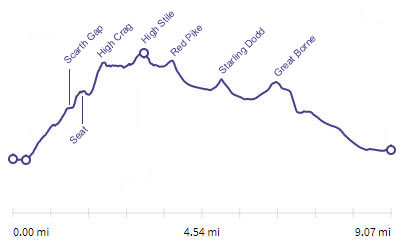 |
Distance |
9.1 miles |
|
Time |
9 hrs |
|||
Lowest Point |
335 ft |
|||
Highest Point |
2648 ft |
|||
Total Ascent |
3457 ft |
|||
Walk Rating - moderate, long but all the work is up to High Crag and after that its a dream |
||||
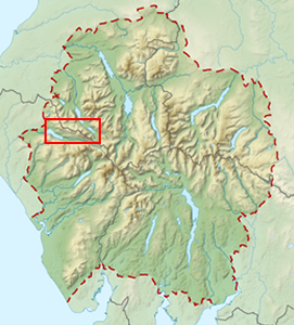 |
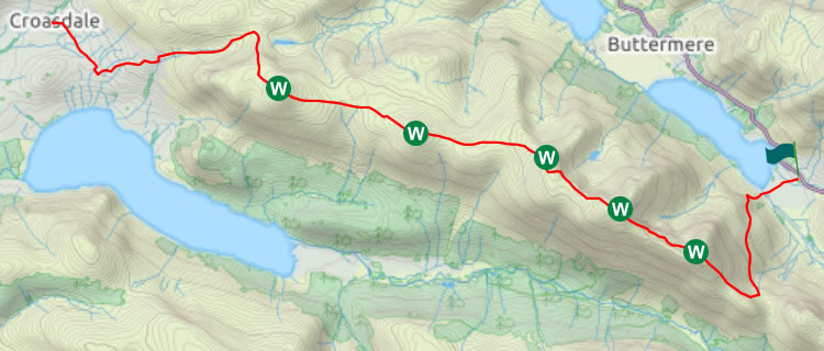
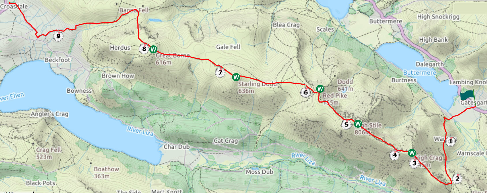
Mini Route Map Go to walk start
|
 |
|---|
 |
||
|---|---|---|
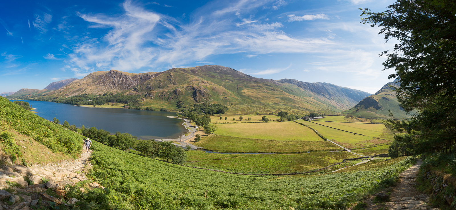
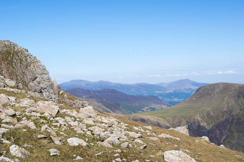
| 11.04 Panorama 207 We got a lift to Gatesgarth farm and began the climb up to Scarth gap. |
 |
||
|---|---|---|
| 11.49 Half way up to Scarth Gap, Fix the Fells were working on the path. | ||
 |
||
| 11.51 |
 |
||
|---|---|---|
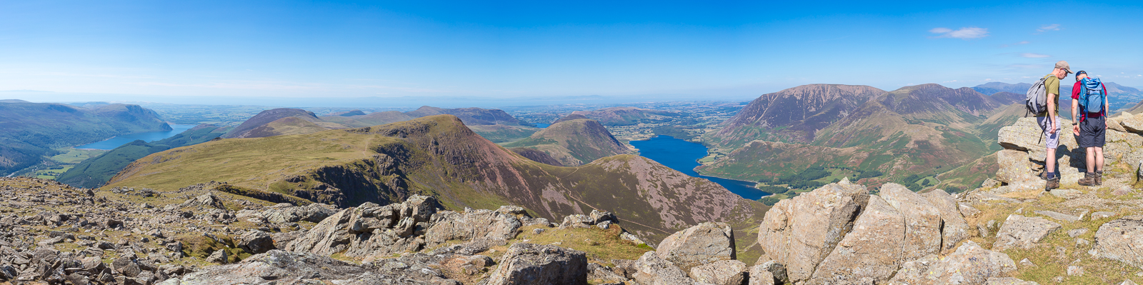
| 12.22 Panorama 208 Scarth Gap |
 |
||
|---|---|---|
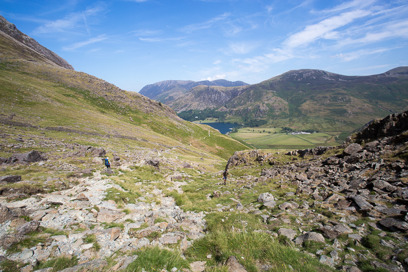
| 12.28 The path goes by the side of Seat rather than over it. Haystacks in the background. | ||
 |
||
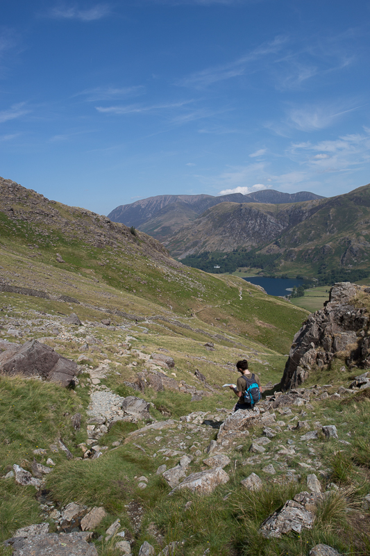
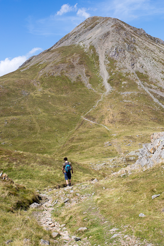
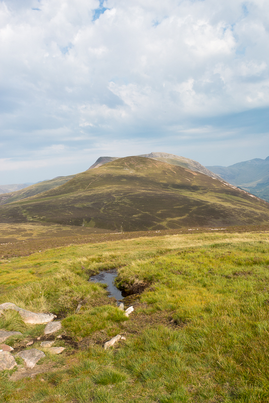
| 12.35 The route up Gamlin End to High Crag looks incredibly steep from this angle but was actually not too bad. | ||
 |
||
| 12.39 | ||
 |
||
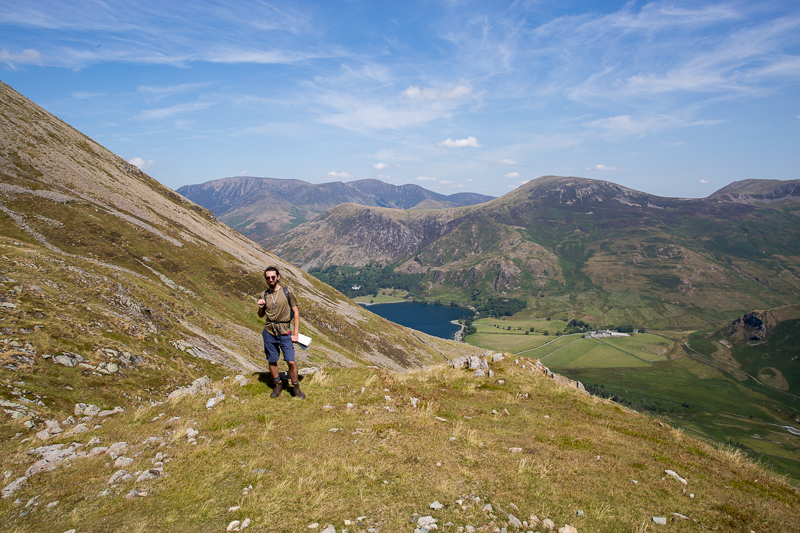
| 12.59 Looking across the valley to Pillar. Was it only 3 days ago that we were up there in miserable rain? | ||
 |
||
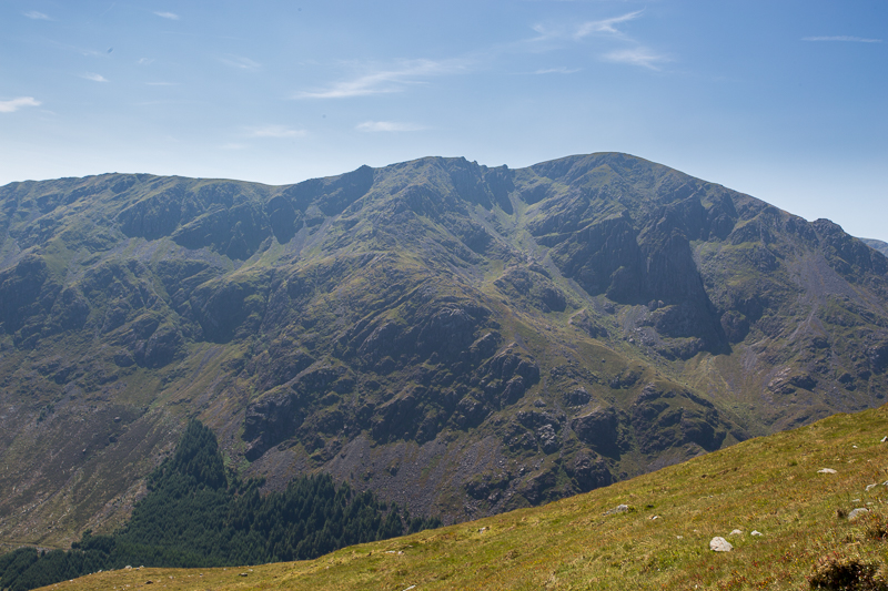
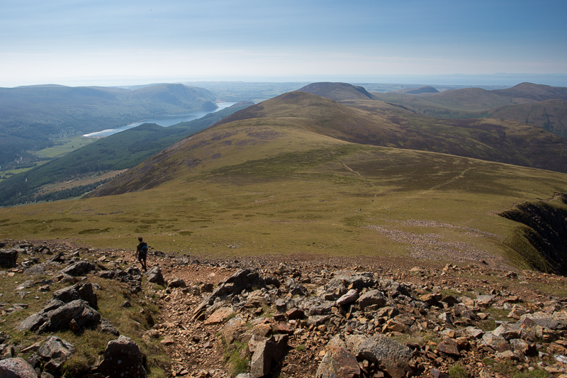
| 13.00 Looking down on Seat and Haystacks with Great Gable in the background. | ||
 |
||
| 13.05 |
 |
||
|---|---|---|
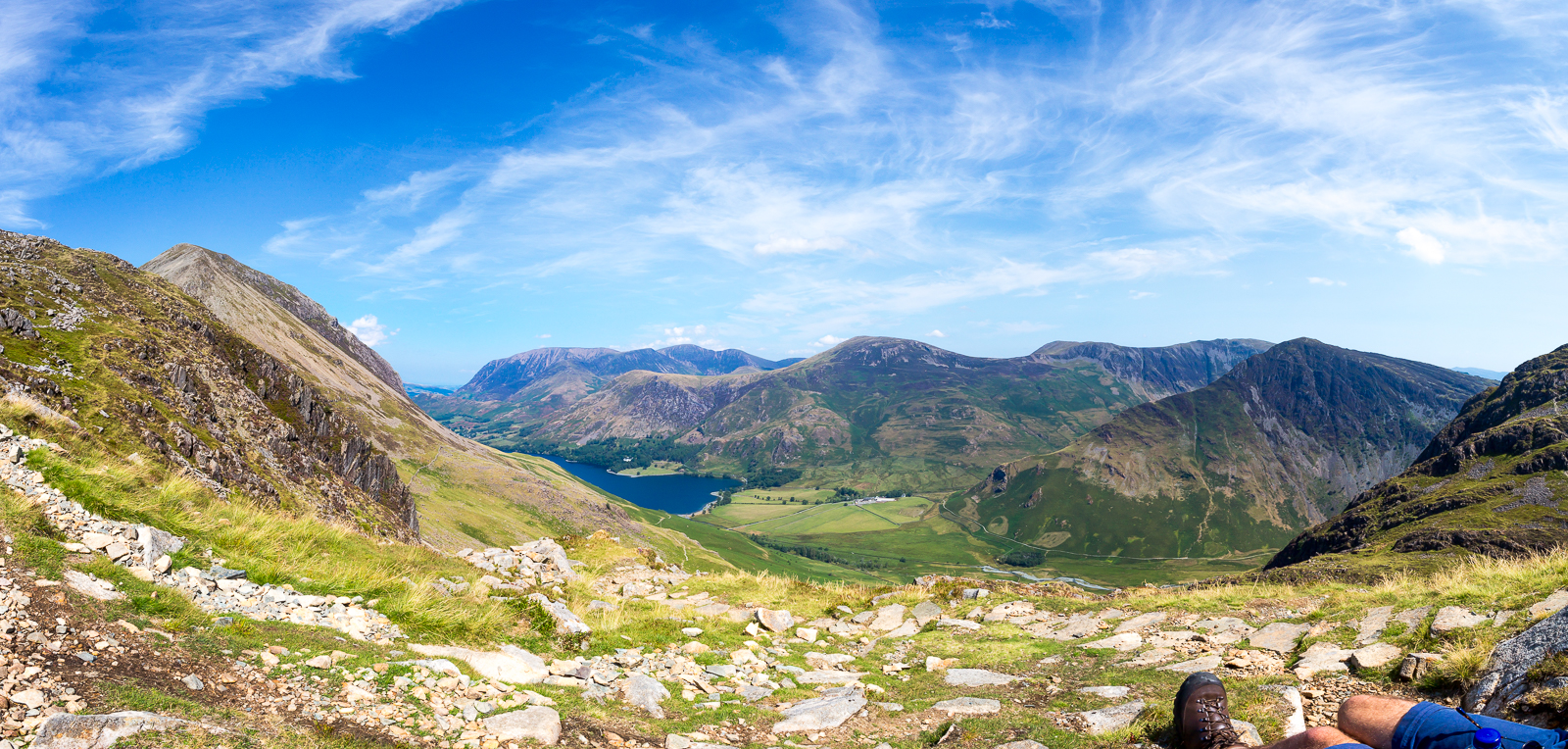
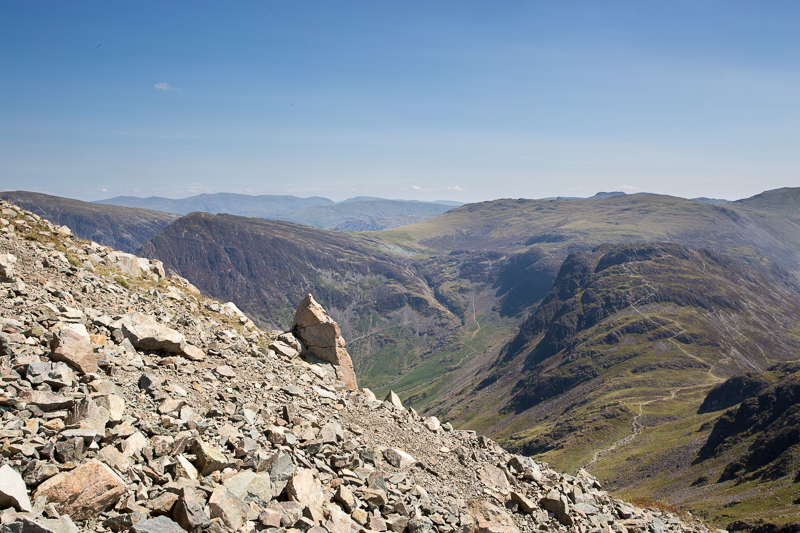
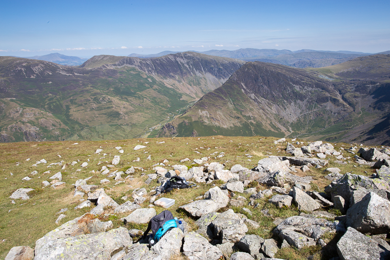
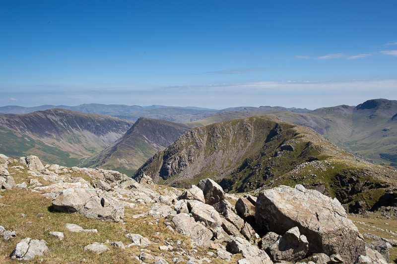
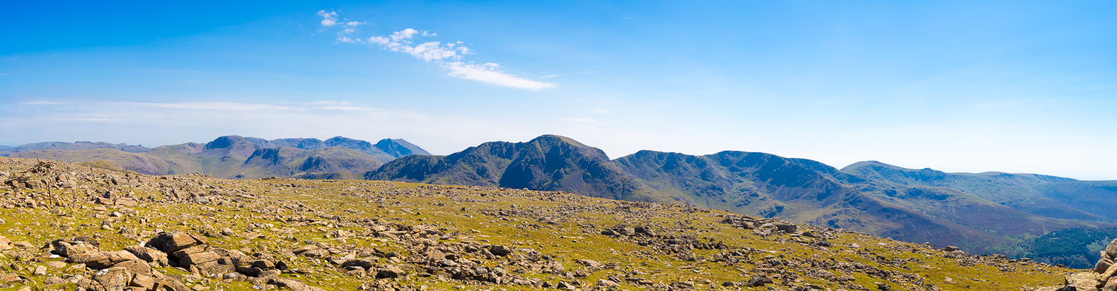
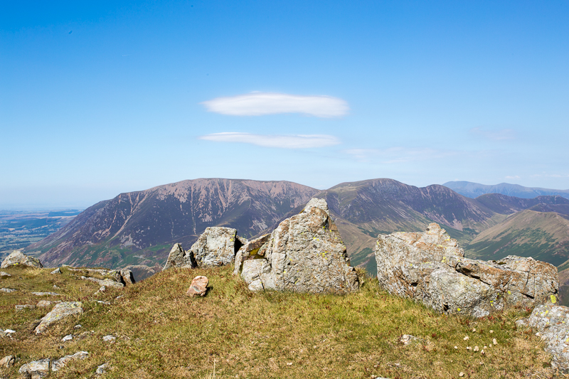
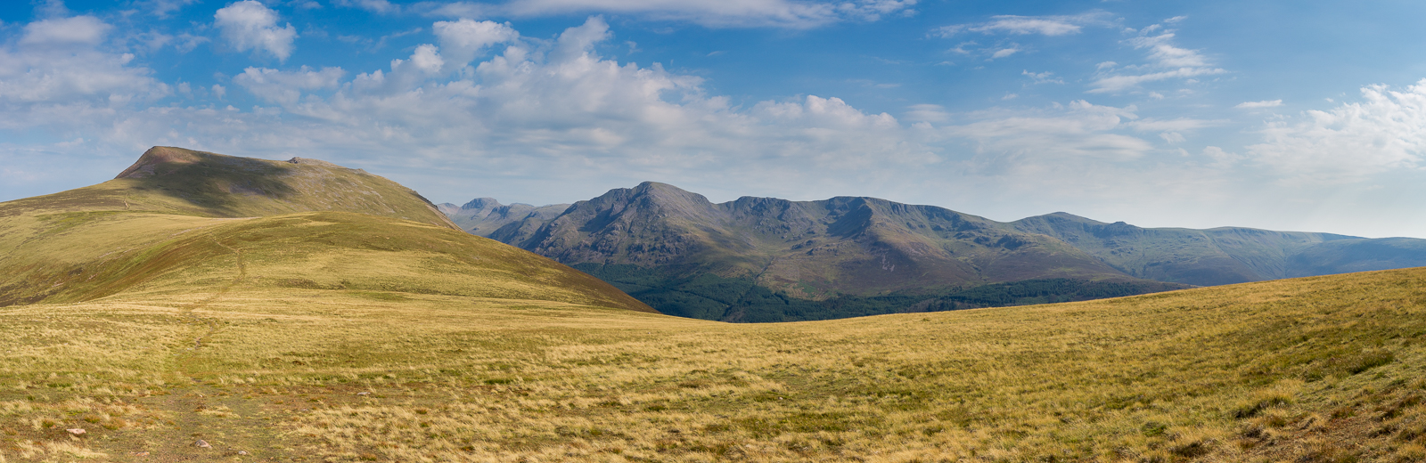
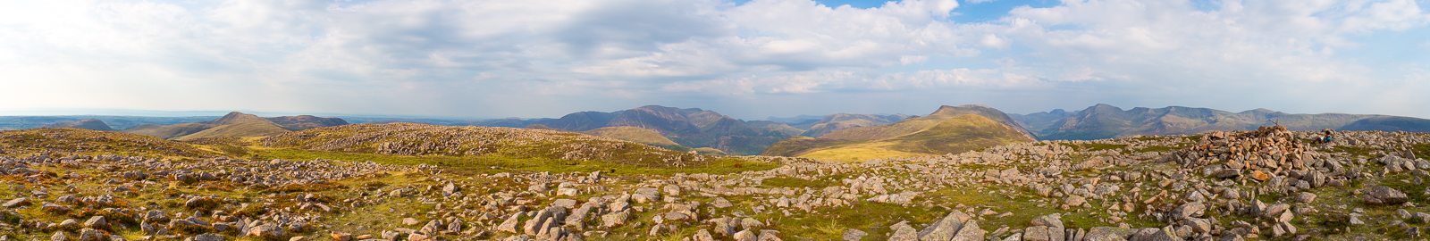
| 14.01 Panorama 209 High Crag looking east | ||
 |
||
| 14.02 Panorama 210 High Crag looking east | ||
 |
||
| 14.02 Panorama 211 High Crag looking south |
 |
||
|---|---|---|
| 14.05 Best lunch spot ever ! | ||
 |
||
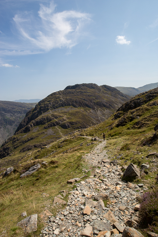
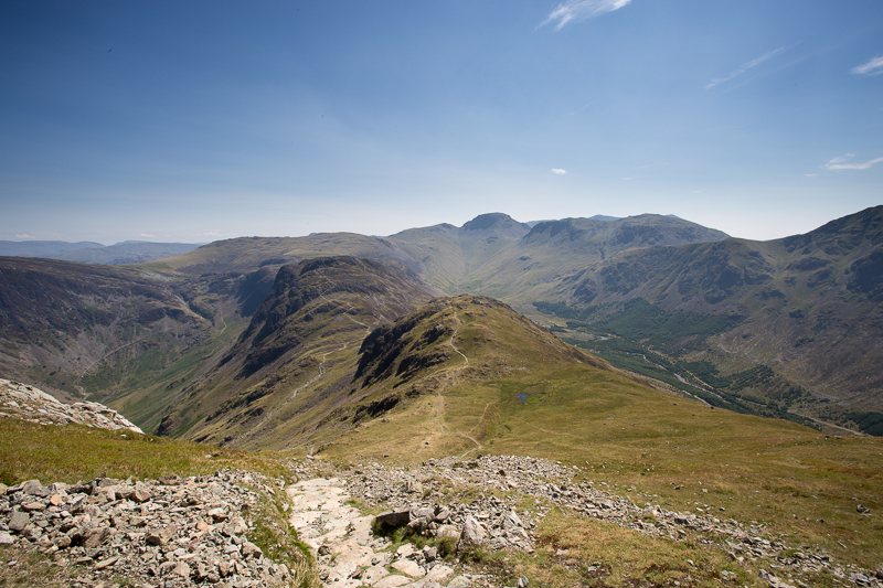
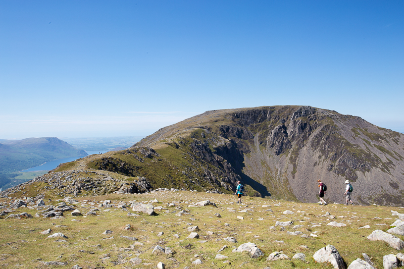
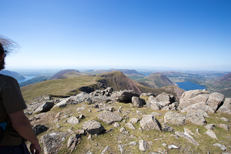
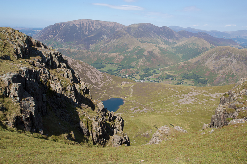
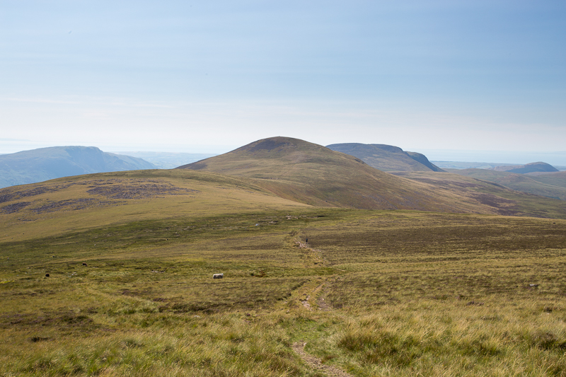
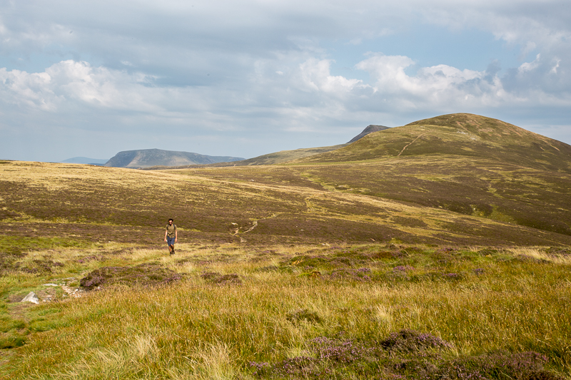
| 14.12 Its an easy walk across to High Stile from here. | ||
 |
||
| 14.19 Ennerdale valley | ||
 |
||
| 14.22 High Snockrigg and Robinson. | ||
 |
||
| 14.39 Looking across to Causey Pike in front of Skiddaw. | ||
 |
||
| 14.41 Looking back at High Crag. | ||
 |
||
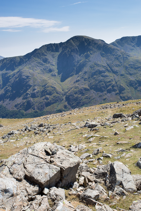
| 14.42 Pillar. | ||
 |
||
| 14.58 High Stile summit. |
 |
||
|---|---|---|
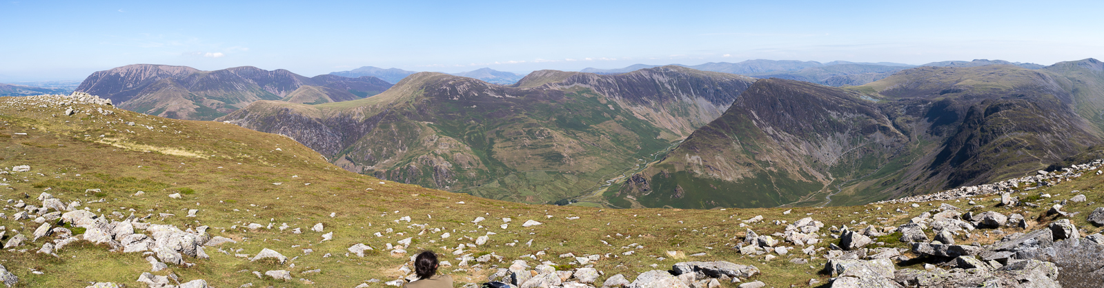
| 15.04 Panorama 212 High Stile summit looking north | ||
 |
||
| 15.05 Panorama 213 High Stile summit looking west |
 |
||
|---|---|---|
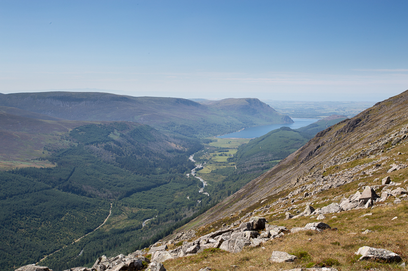
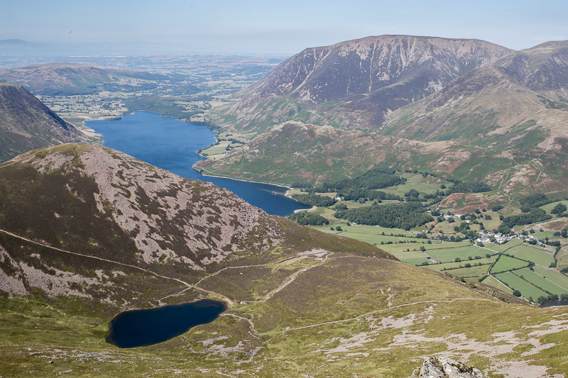
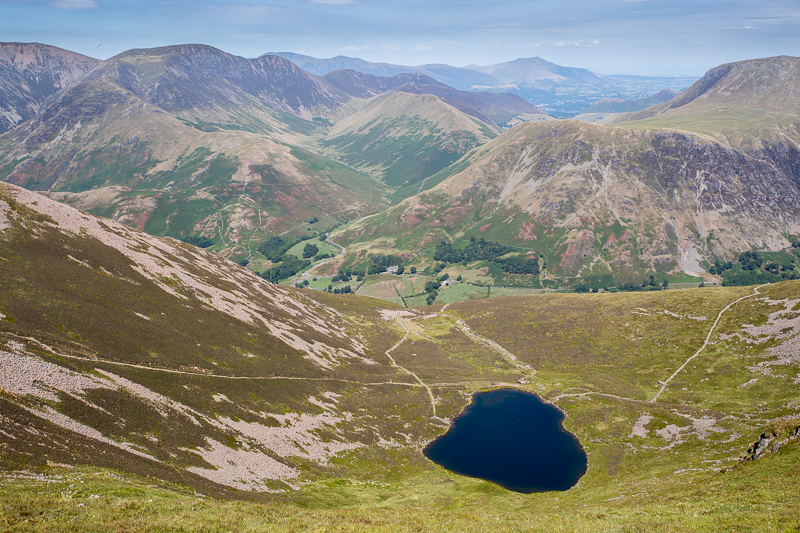
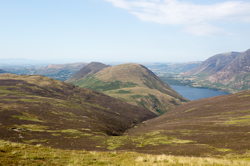
| 15.09 Bleaberry Tarn and Crummock Water. | ||
 |
||
| 15.26 Grasmoor and Crag Hill. | ||
 |
||
| 15.28 Lenticular clouds over Grasmoor. | ||
 |
||
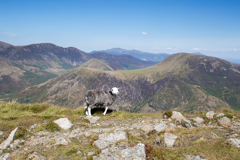
| 15.32 Looking across Buttermere valley to Knott Rigg. |
 |
||
|---|---|---|
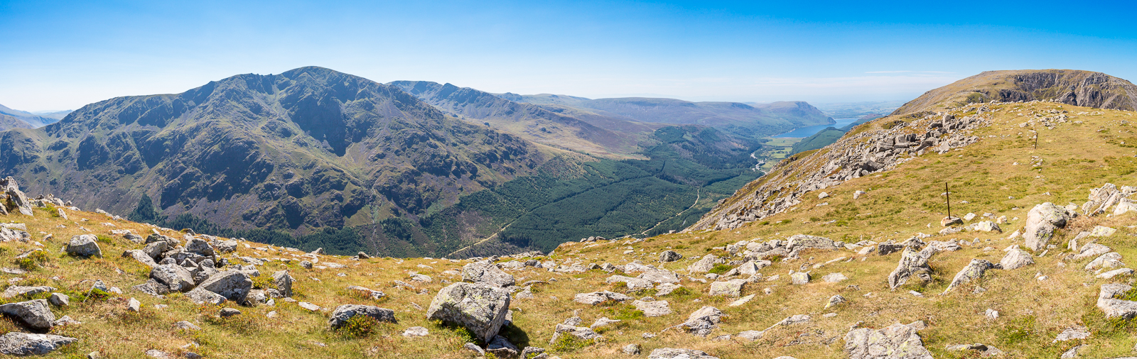
| 16.07 Panorama 214 Red Pike summit looking north |
 |
||
|---|---|---|
| 16.09 Looking along the ridge, our route to Starling Dodd and Great Borne. | ||
 |
||
| 16.10 Ennerdale Water in the background. | ||
 |
||
16.22 Starling Dodd |
||
 |
||
| 16.34 Mellbreak and Crummock Water. | ||
 |
||
| 16.39 Looking back at Red Pike. |
 |
||
|---|---|---|
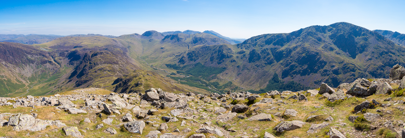
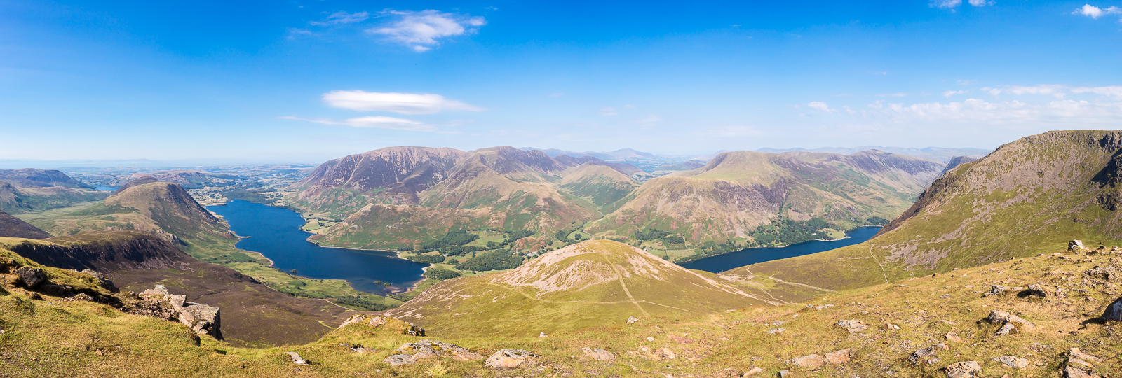
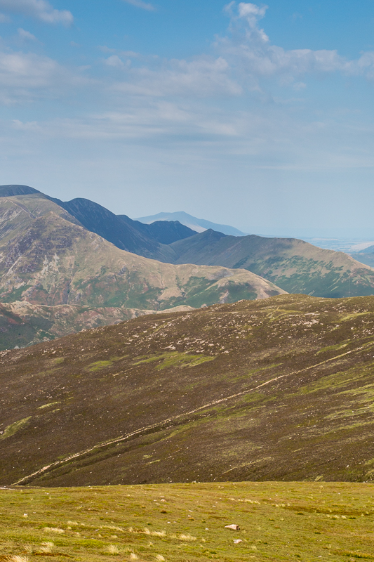
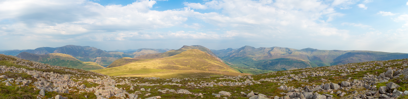
| 16.44 Panorama 215 From Starling Dodd looking pack at Red Pike, up the valley to Great Gable and across to Pillar. |
Of the mountain array, Pillar and company are the most impressive and if not in too deep shadow, this is an excellent place to study the topography of the group. A sunny early evening is a good time. |
|||||
Alfred Wainwright - The Western Fells, Starling Dodd. |
|||||
 |
||
|---|---|---|
| 16.50 Peaks stacked up together with Causey Pike in front of Blencathra. | ||
 |
||
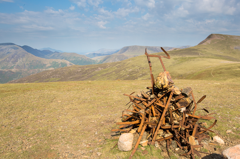
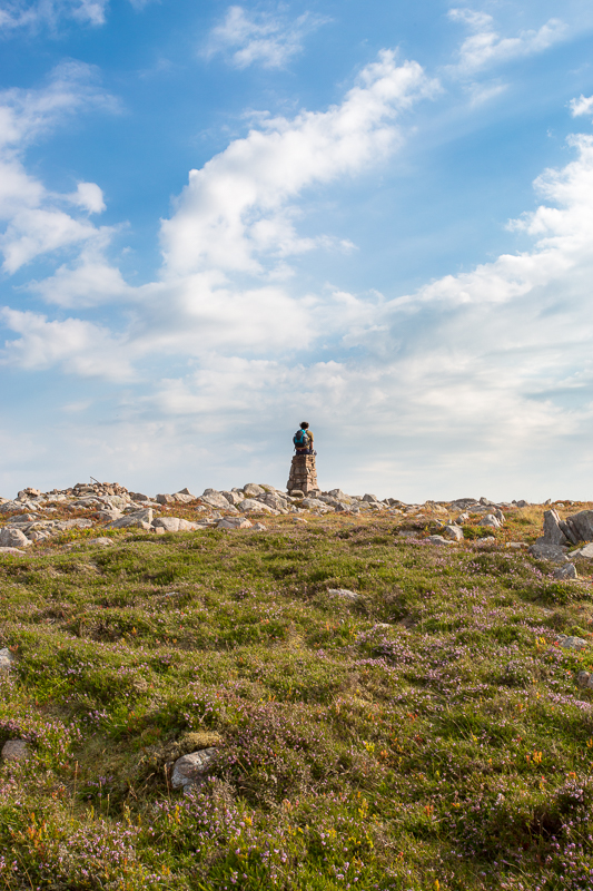
| 16.52 Starling Dodd summit. |
On the way to the top there are slight traces of a former fence, and one wonders what has happened to the iron posts which usually survive long after the wires have gone. |
|||||
Alfred Wainwright - The Western Fells, Starling Dodd. |
|||||
 |
||
| 17.40 Looking back at Starling Dodd and Red Pike. | ||
 |
||
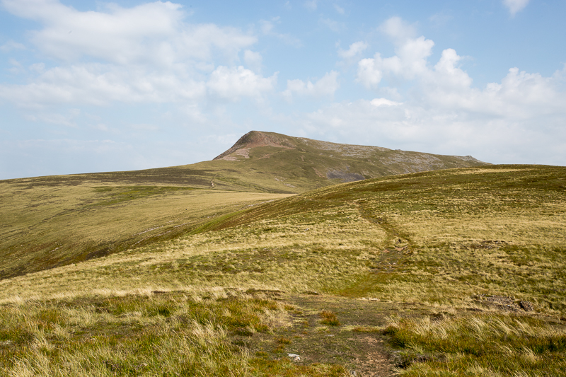
| 17.42 High Stile also visible from this angle. | ||
 |
||
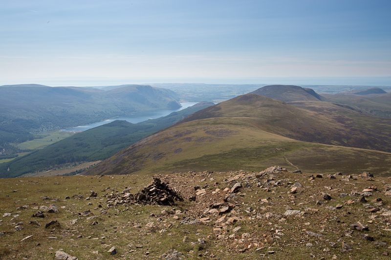
| 18.00 Great Borne summit. |
 |
||
|---|---|---|
| 18.11 Panorama 216 Great Borne summit | ||
 |
||
| 18.13 Panorama 217 Great Borne summit |
 |
||
|---|---|---|
| 18.30 Dropping down Steel Brow with Floutern Cop below us. The white shapes near the bottom left of the picture are the fence posts below us. We held on to these like stair rods as we came down a very steep descent. | ||
 |
||
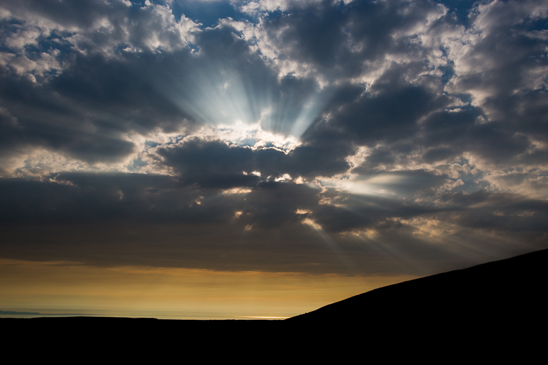
| 19.03 Evening sun as we walked down the path between Herdus and Banna Fell to Whins and then along the road back to Croasdale. | ||
|
|
 |
|---|